Elevation of Hamburg State Park Rd, Mitchell, GA, USA
Location: United States > Georgia > Glascock County > Mitchell >
Longitude: -82.773256
Latitude: 33.2277655
Elevation: 147m / 482feet
Barometric Pressure: 100KPa
Elevation Map:
Satellite Map:
Related Photos:
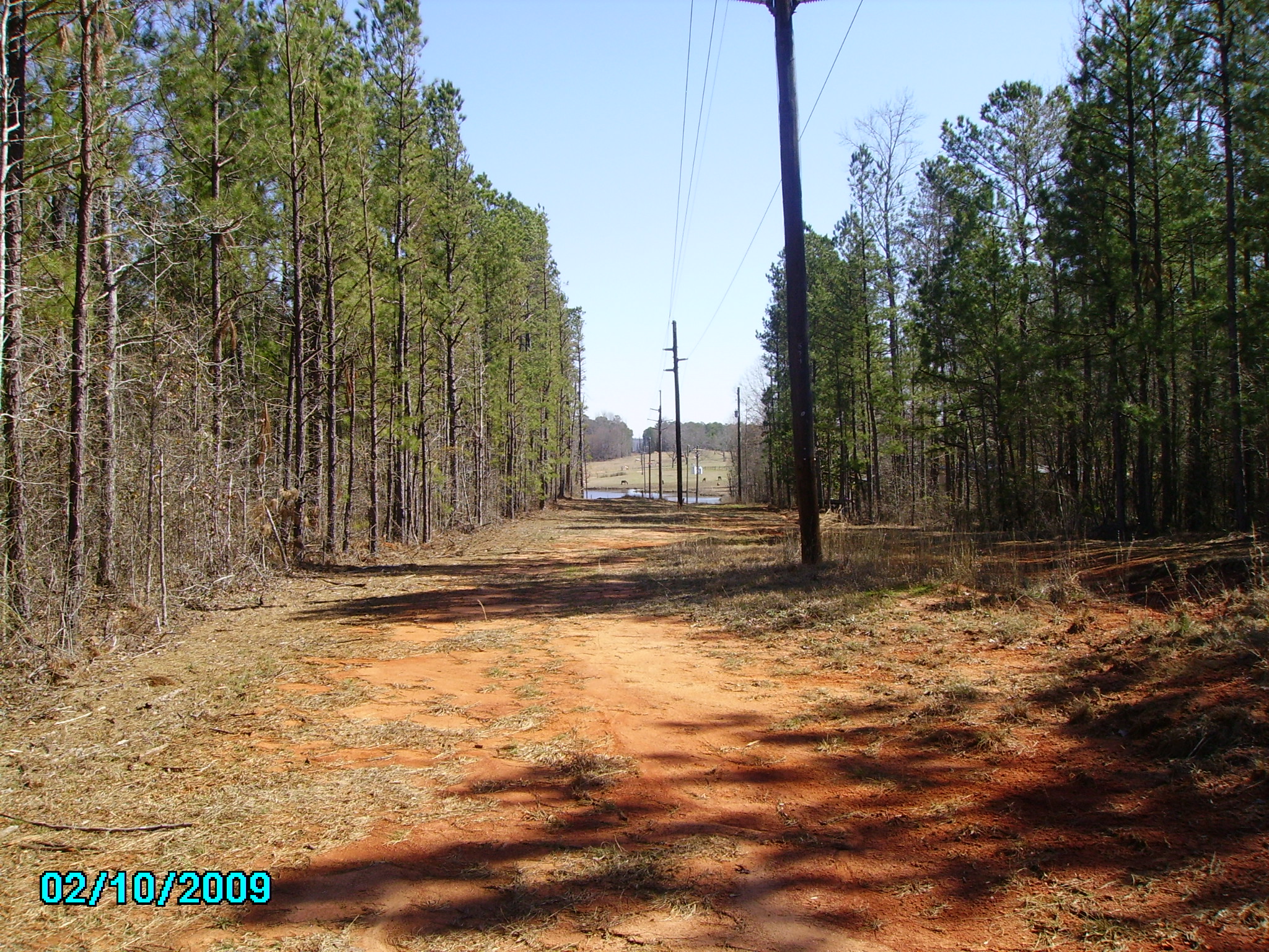
View
0028 Grist mill Img_8808
Hickory Grove

Abandoned Dairy Barn
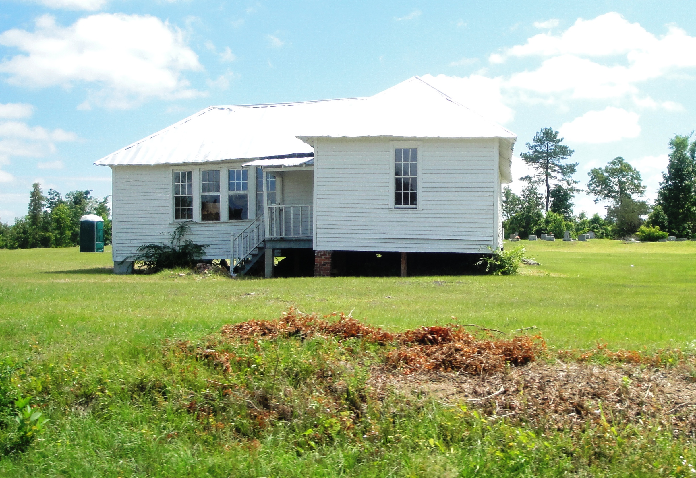
Mount Olive

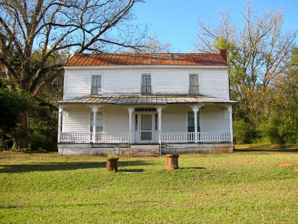
Birdsong-Hill-Elliot House
Old House

Abandoned Dairy Barn
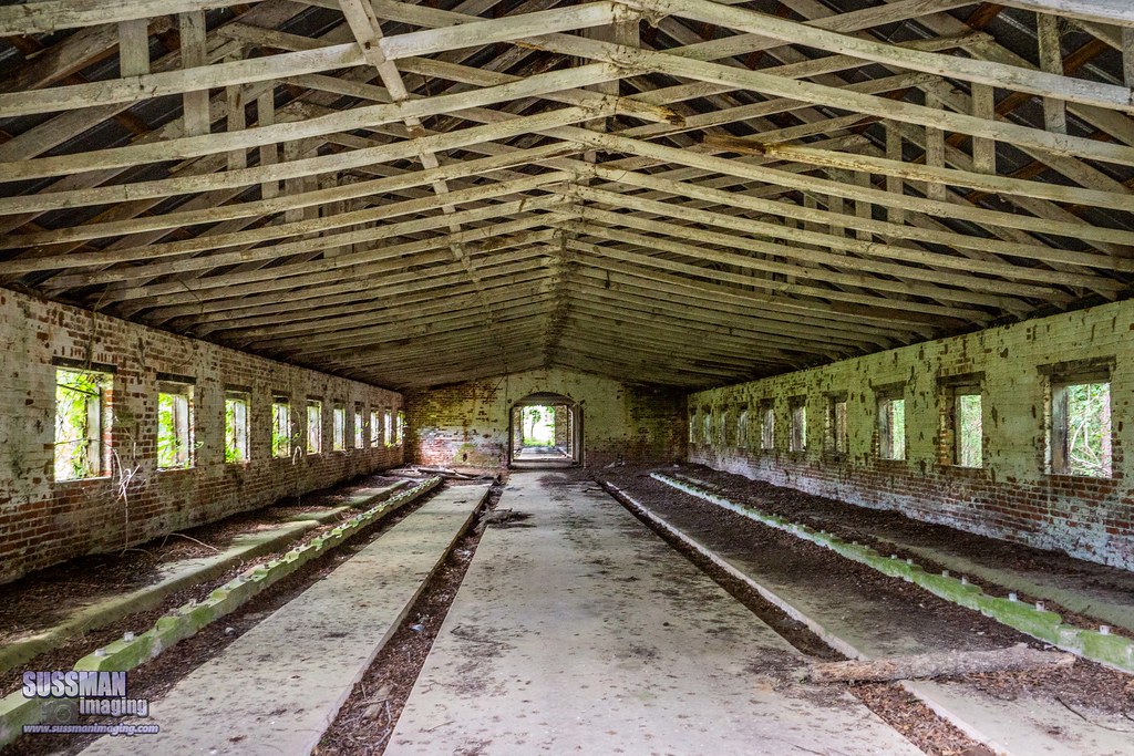
Abandoned Dairy Barn
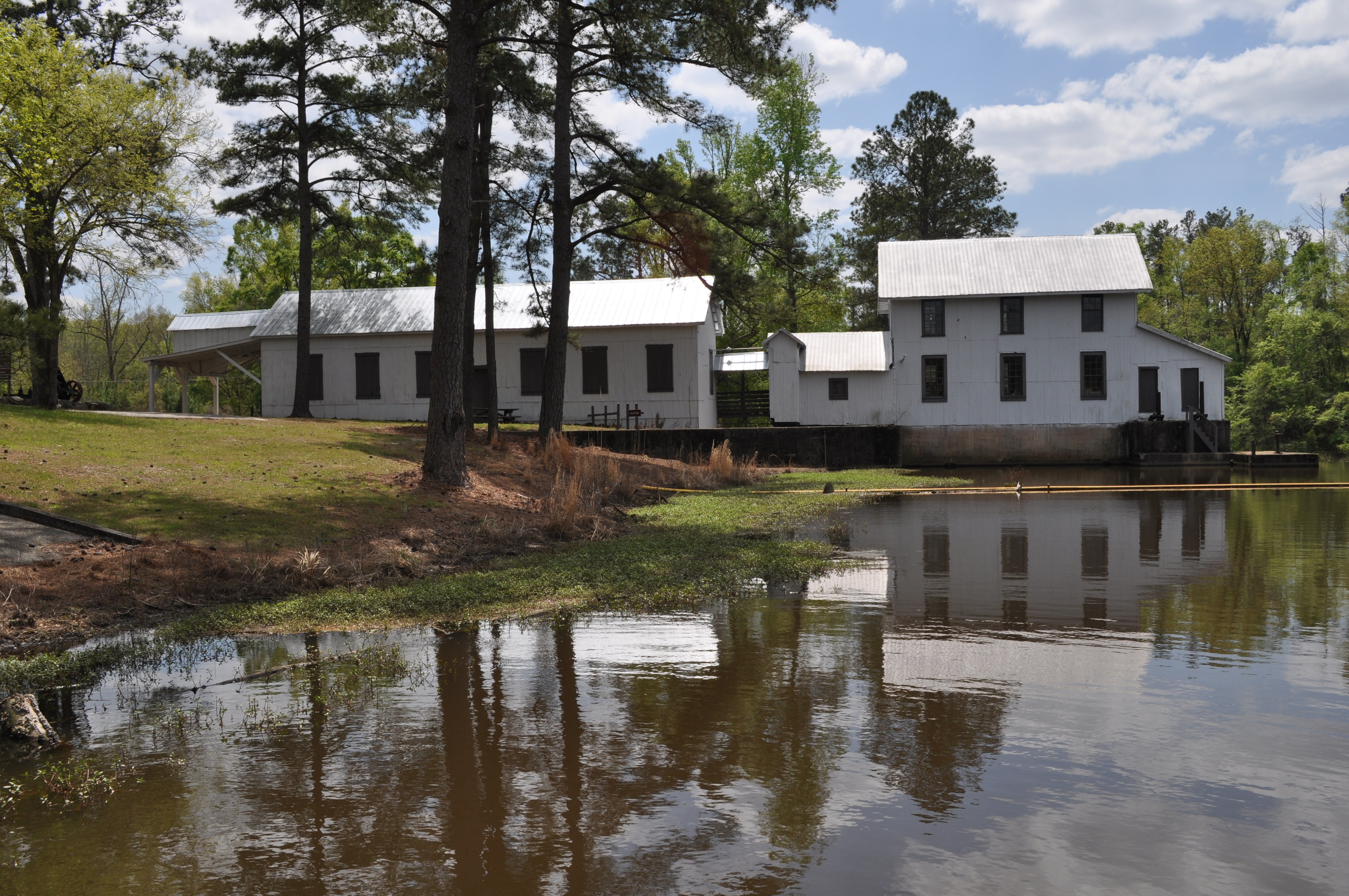
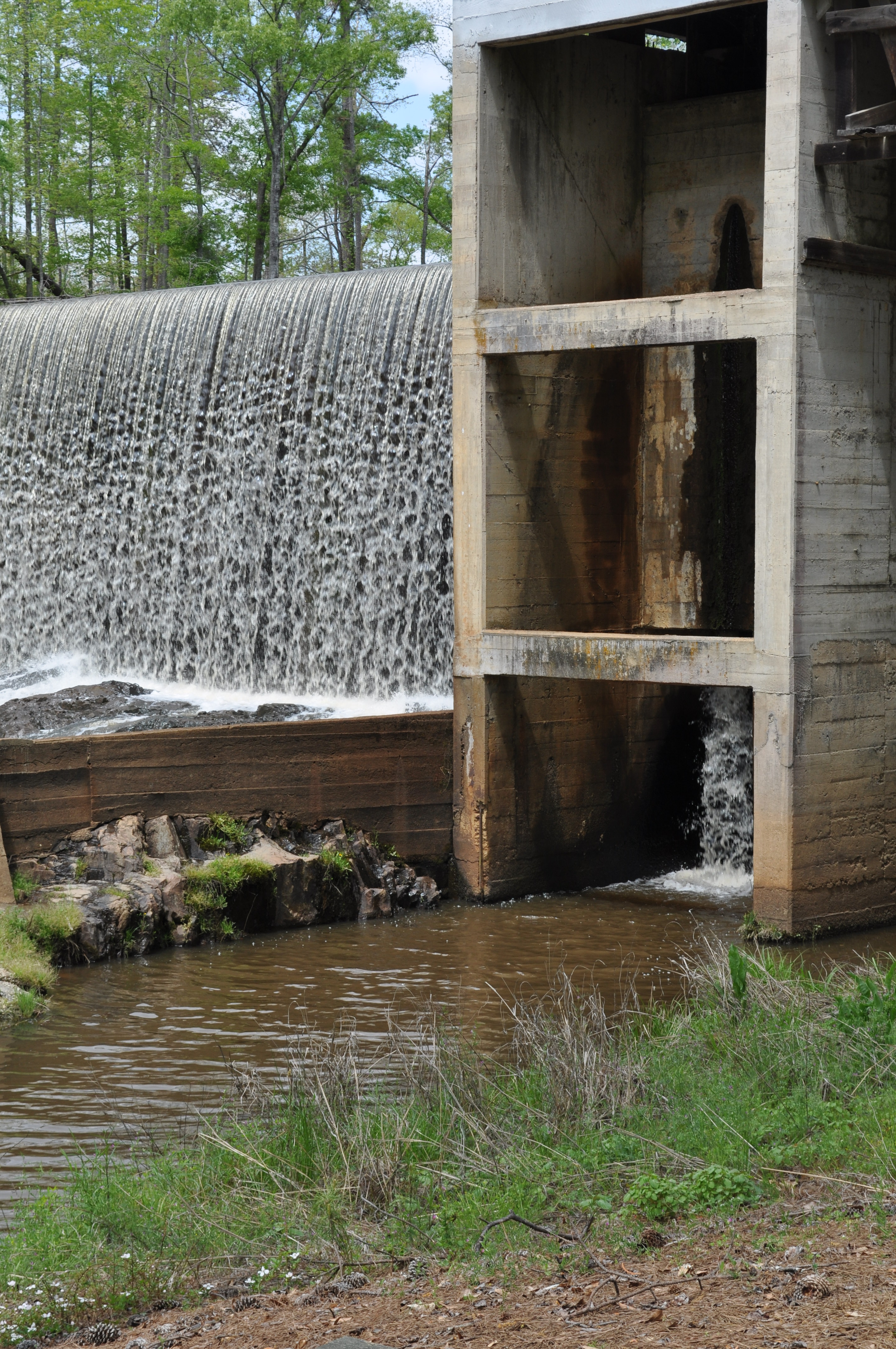
0017 Ogeechee River Mill Img_8797
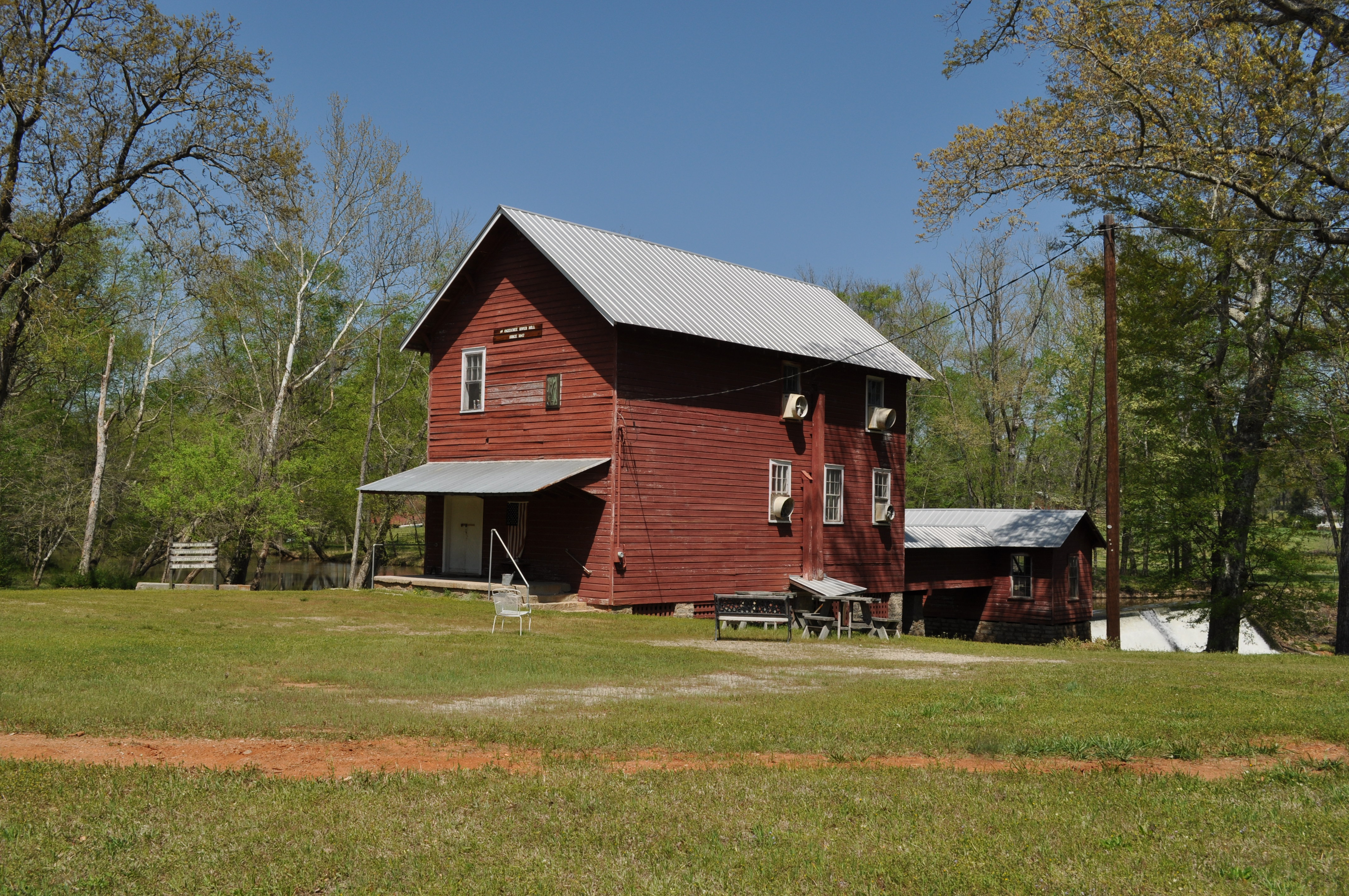
0015 Ogeechee River Mill Img_8796
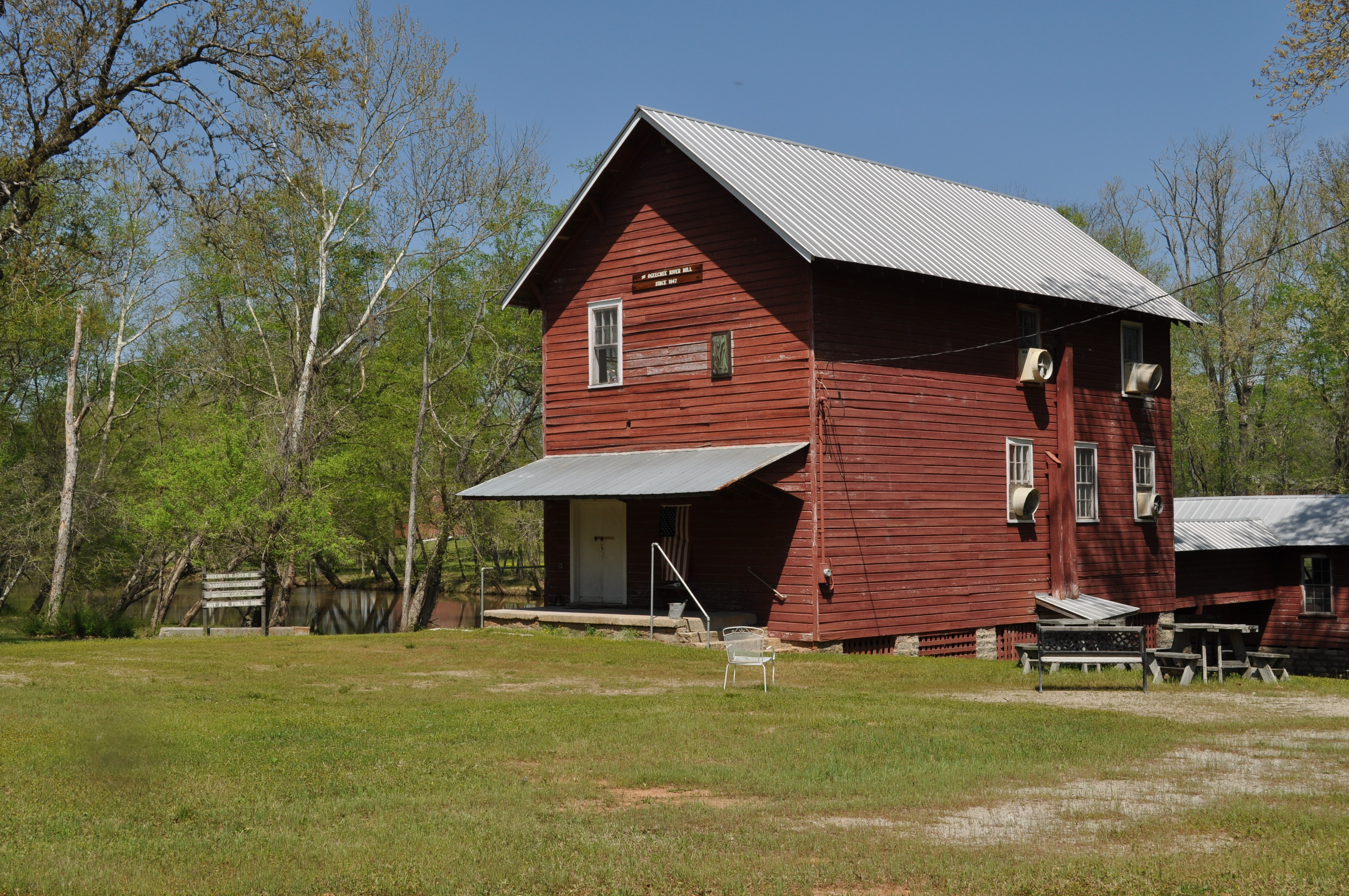
0016 Ogeechee River Mill Img_8795
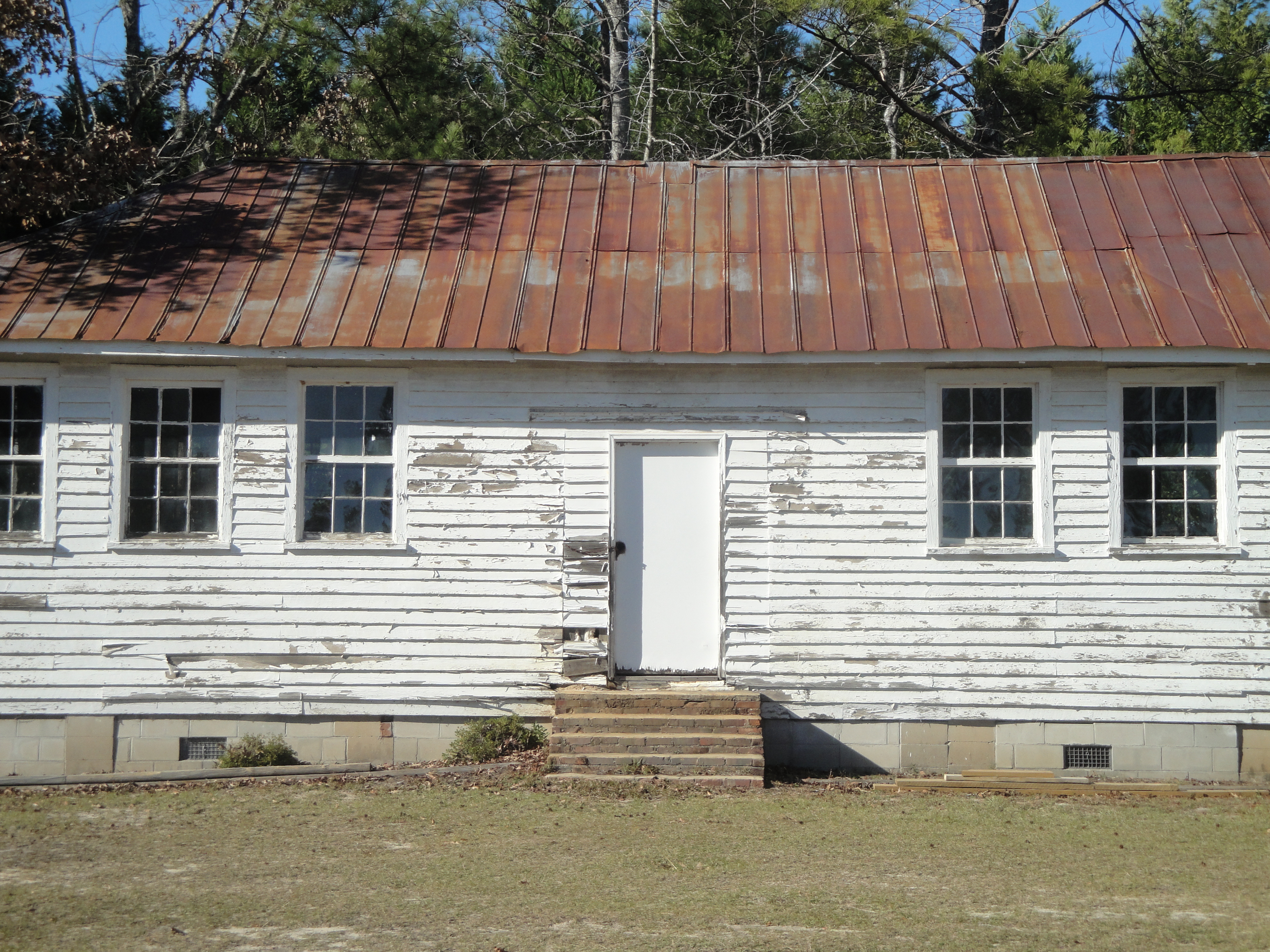
0018 Grist mill Img_8798
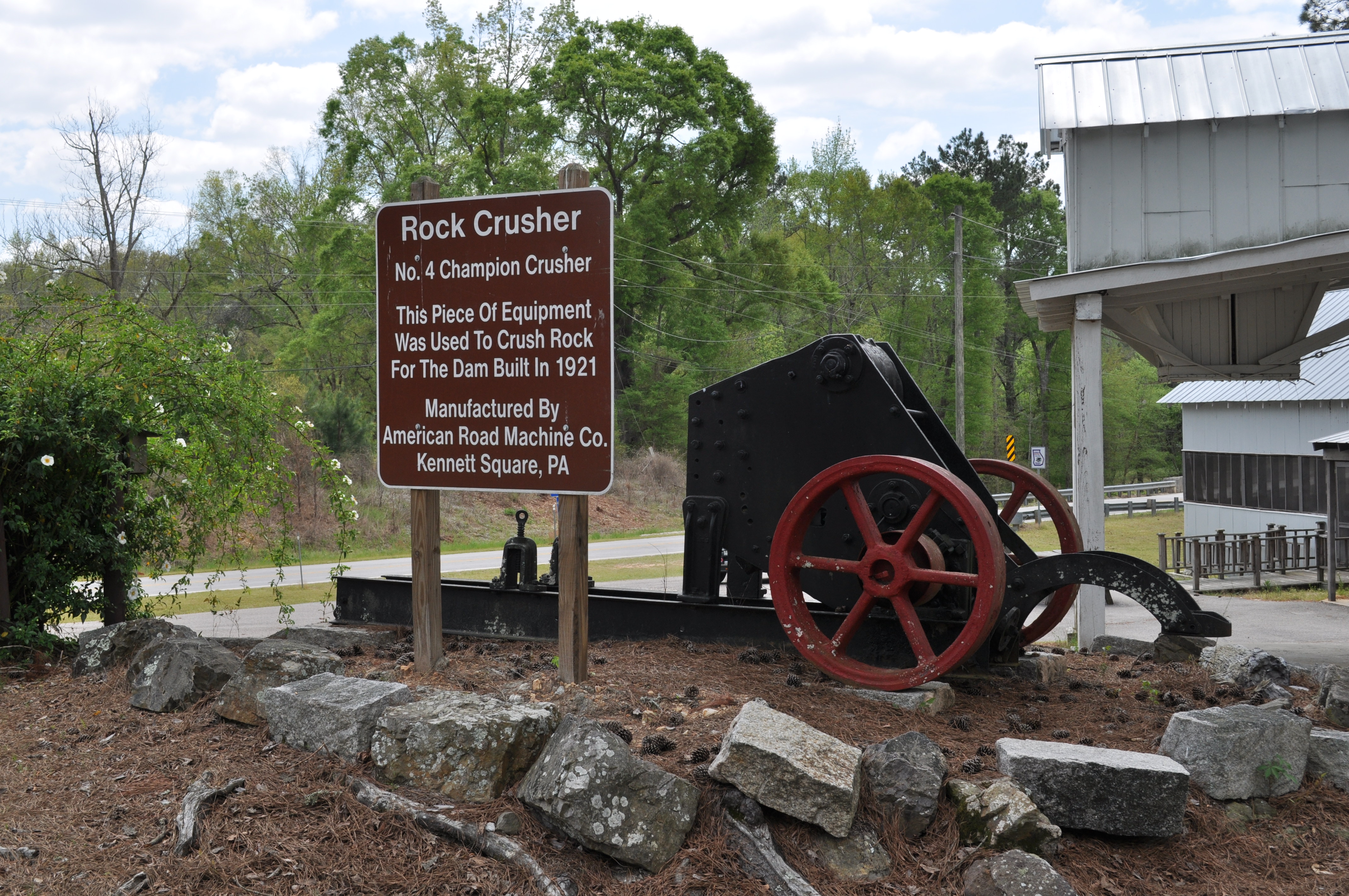
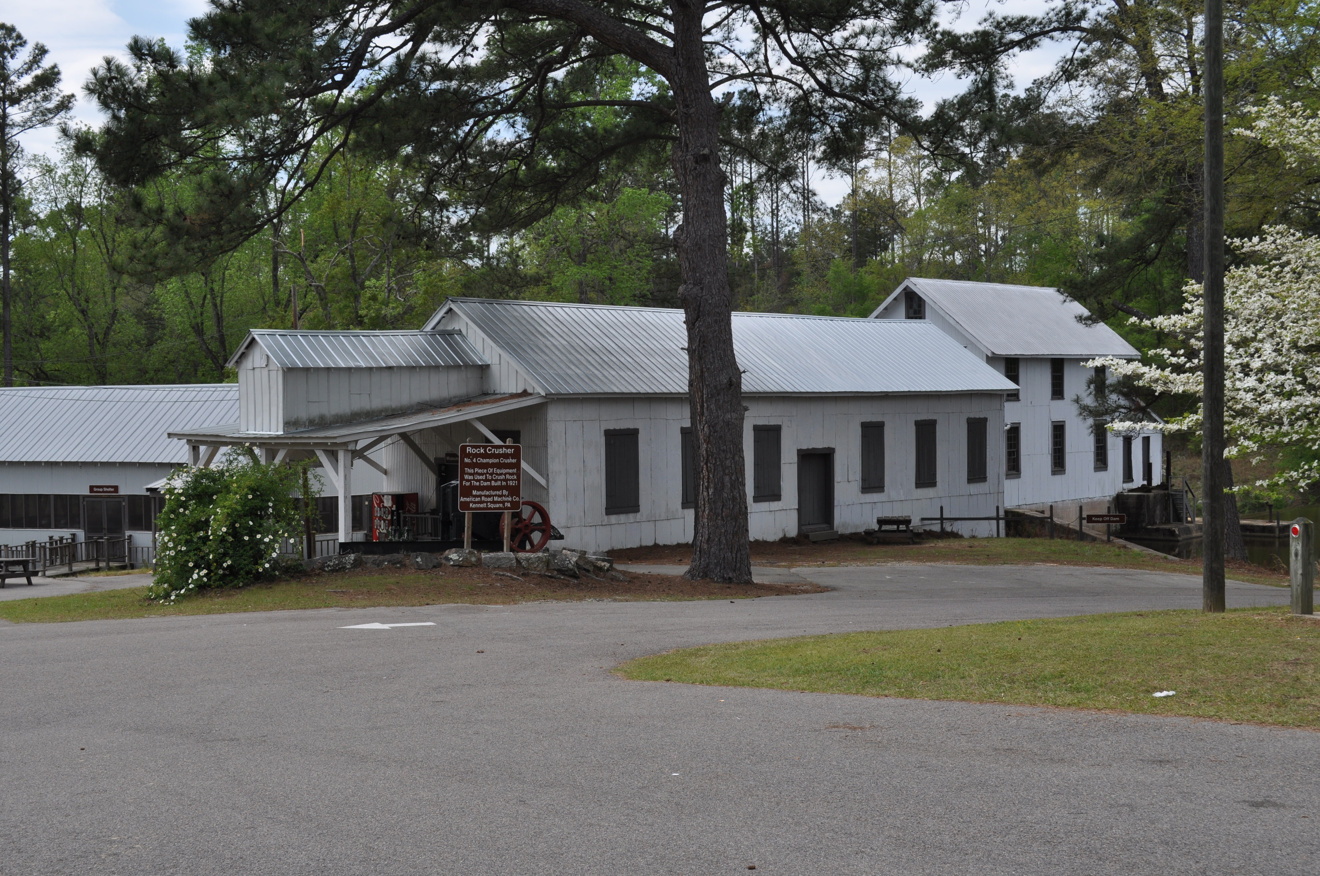
0019 Rock Crusher Img_8799
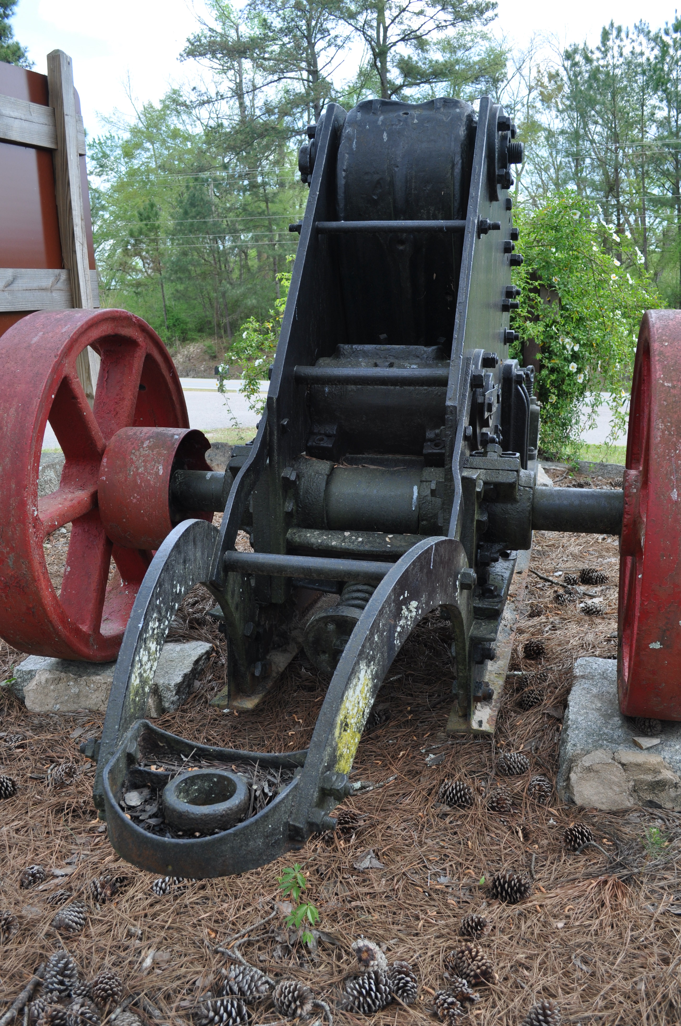
0020 Rock Crusher Img_8800
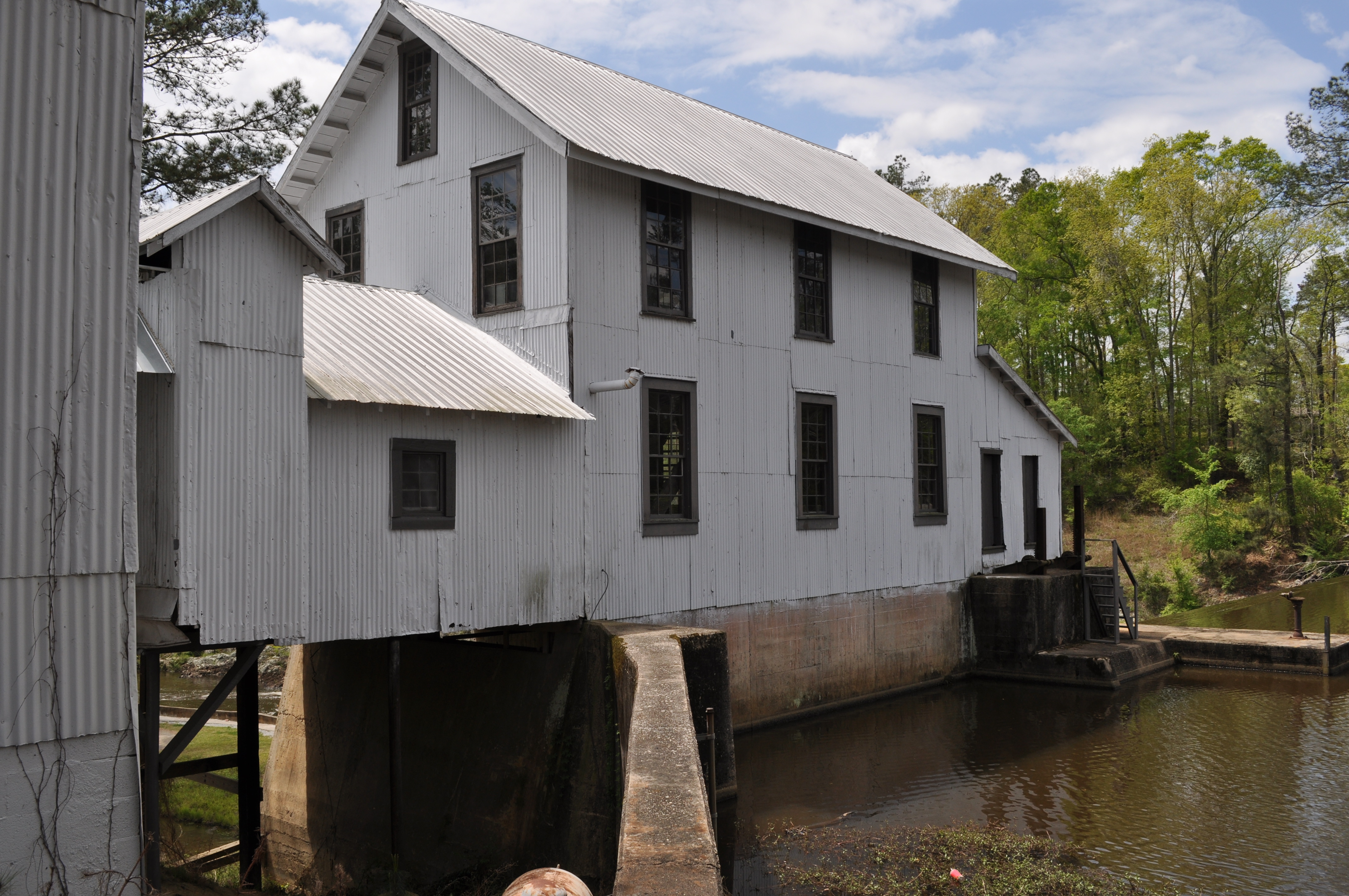
0021 Grist mill Img_8801

0022 Grist Mill Store Img_8802
0023 Grist mill Img_8803
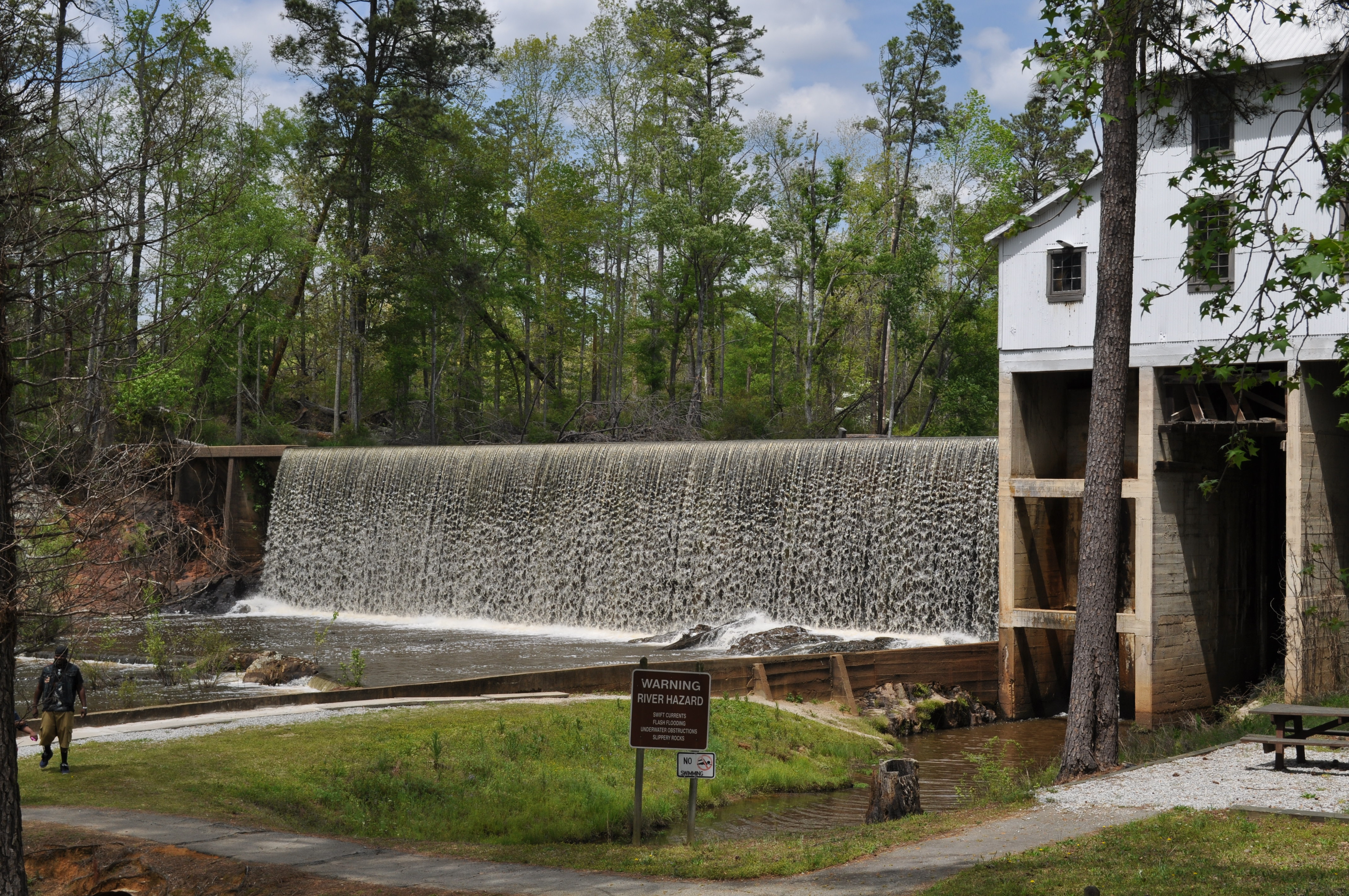
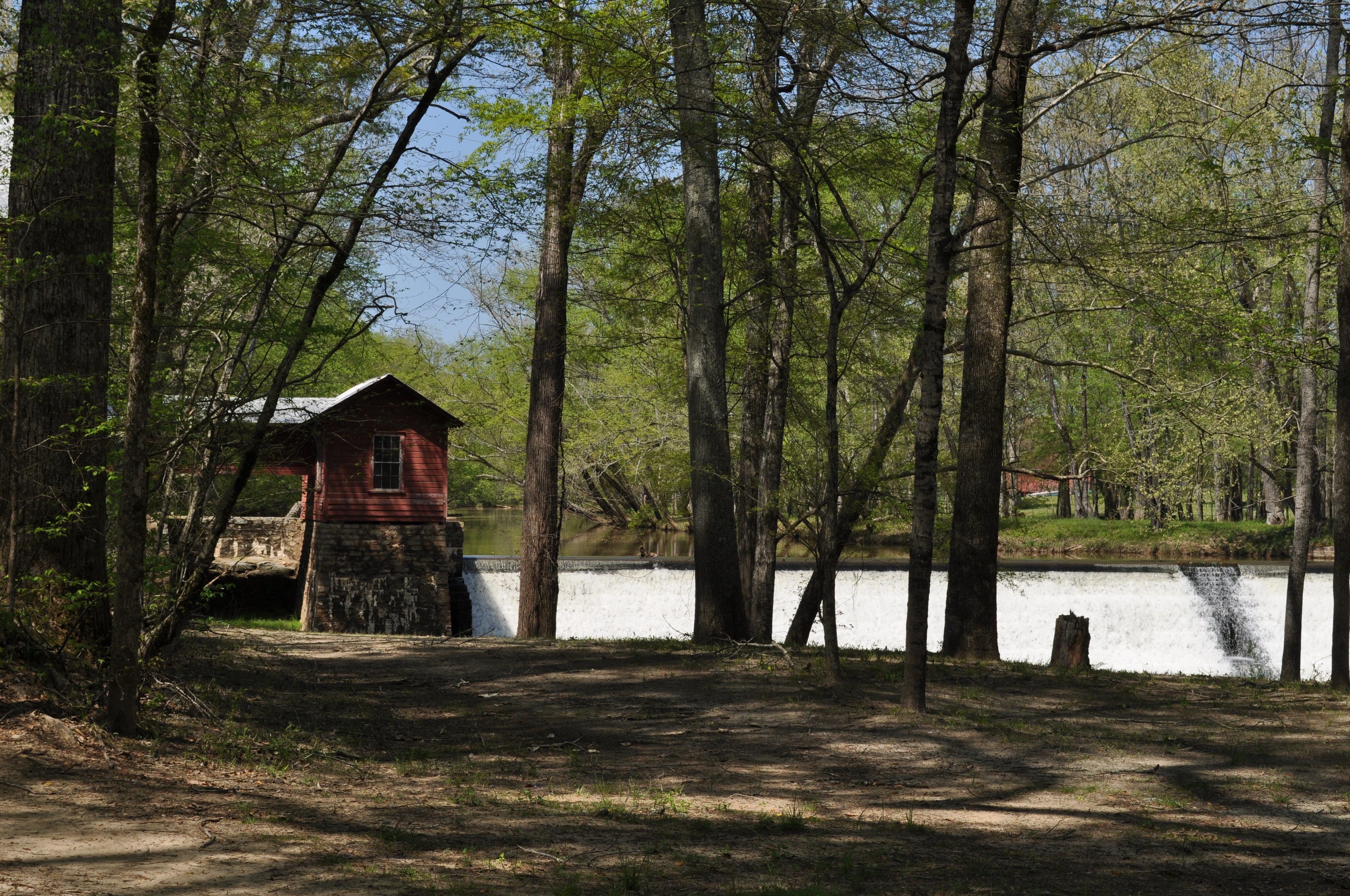
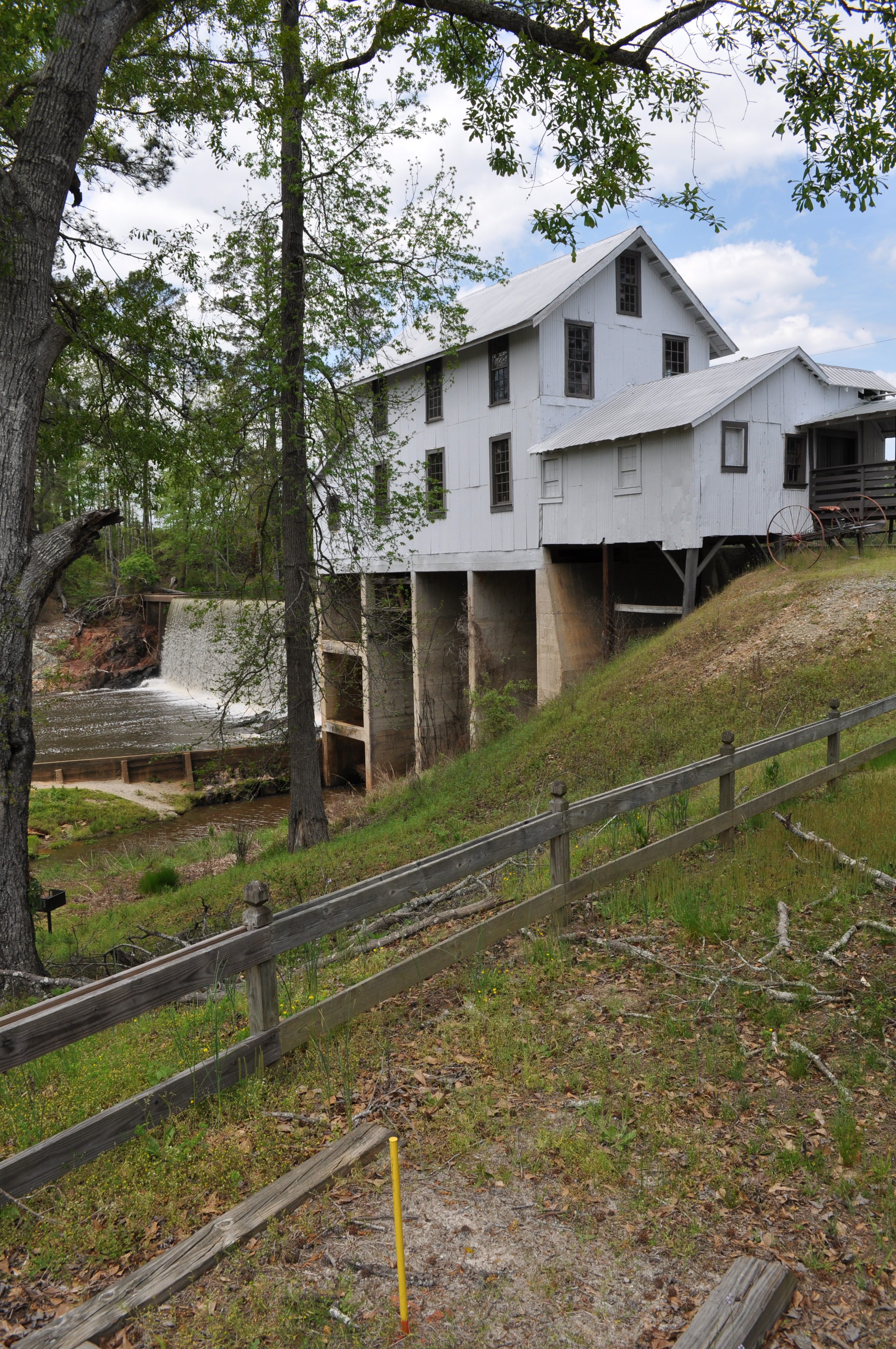
0024 Falls Img_8804
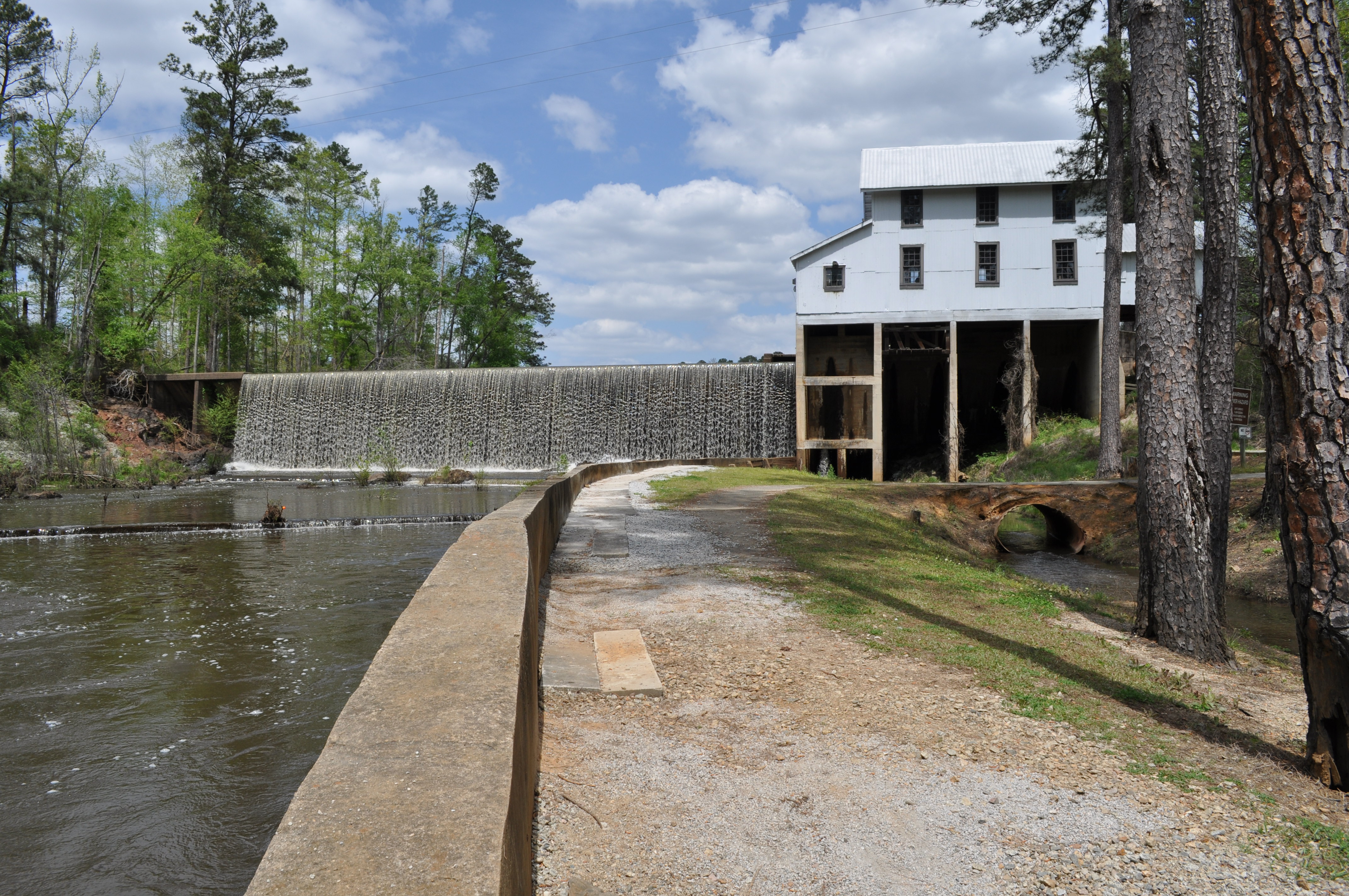
0025 Falls and mill Img_8807
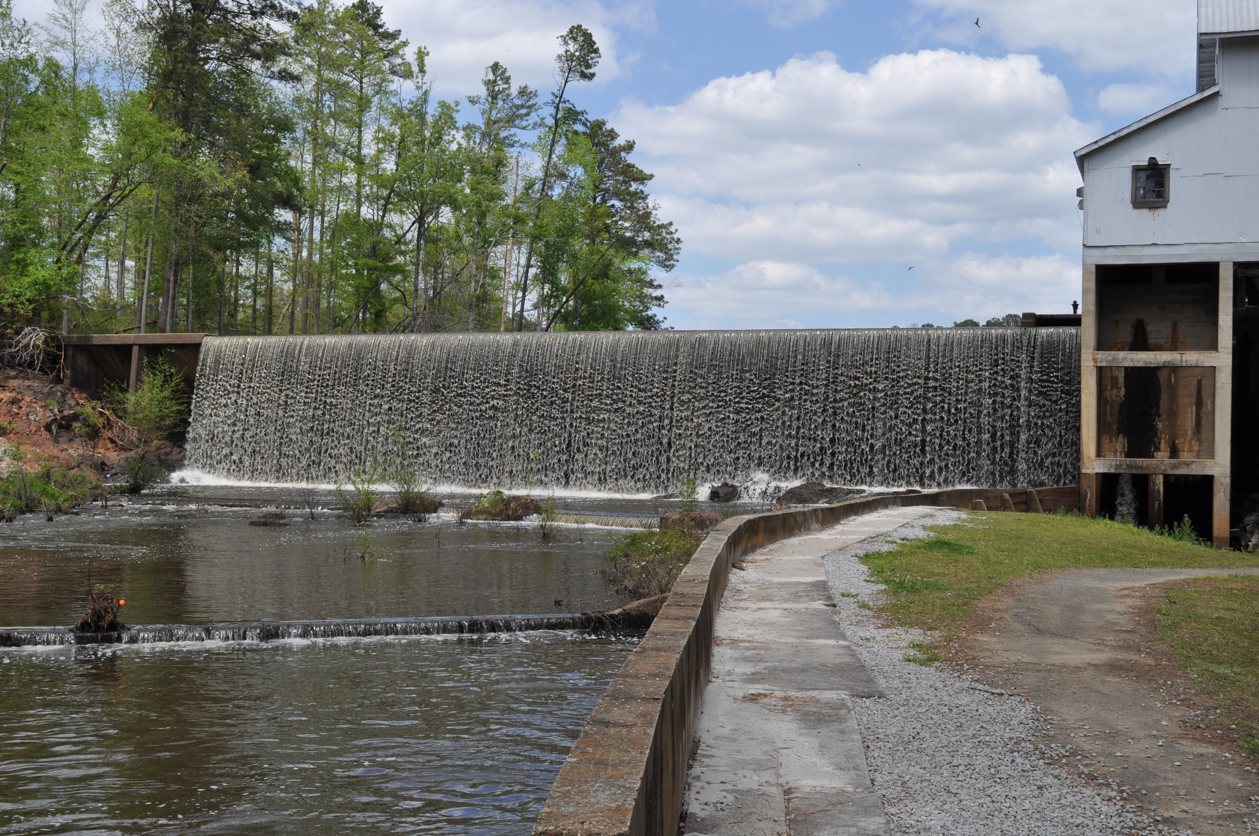
0026 Falls Img_8806
0027 Falls and mill Img_8805
Topographic Map of Hamburg State Park Rd, Mitchell, GA, USA
Find elevation by address:

Places near Hamburg State Park Rd, Mitchell, GA, USA:
GA-, Mitchell, GA, USA
Mitchell
Glascock County
61 Calhoun St, Gibson, GA, USA
Gibson
421 Webster Rd
374 Springfield Rd
Warrenton
70 N Whitehead St
39 Ricketson Rd
Quaker Rd, Warrenton, GA, USA
Bastonville Rd, Warrenton, GA, USA
Warren County
611 Dogwood Dr
Sandersville
Washington Hwy, Warrenton, GA, USA
Camak
Washington County High School
GA-80, Warrenton, GA, USA
Washington County
Recent Searches:
- Elevation of Corso Fratelli Cairoli, 35, Macerata MC, Italy
- Elevation of Tallevast Rd, Sarasota, FL, USA
- Elevation of 4th St E, Sonoma, CA, USA
- Elevation of Black Hollow Rd, Pennsdale, PA, USA
- Elevation of Oakland Ave, Williamsport, PA, USA
- Elevation of Pedrógão Grande, Portugal
- Elevation of Klee Dr, Martinsburg, WV, USA
- Elevation of Via Roma, Pieranica CR, Italy
- Elevation of Tavkvetili Mountain, Georgia
- Elevation of Hartfords Bluff Cir, Mt Pleasant, SC, USA