Elevation of Dogwood Dr, Sandersville, GA, USA
Location: United States > Georgia > Washington County > Sandersville >
Longitude: -82.831012
Latitude: 32.9864137
Elevation: 117m / 384feet
Barometric Pressure: 100KPa
Elevation Map:
Satellite Map:
Related Photos:
Interchange Time
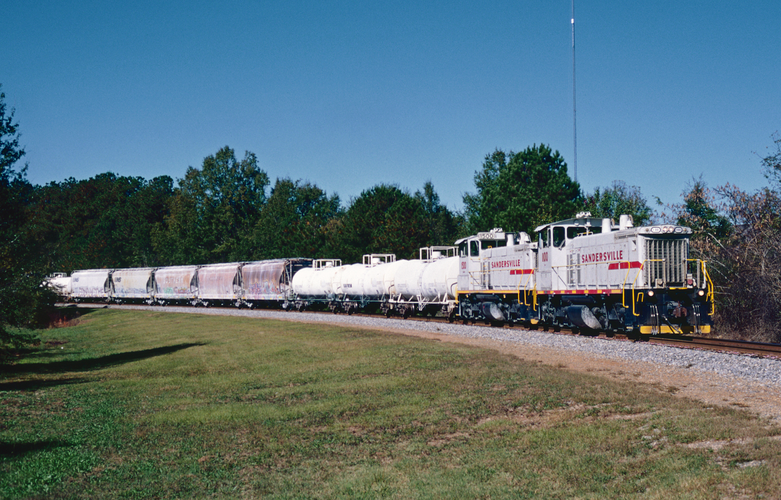
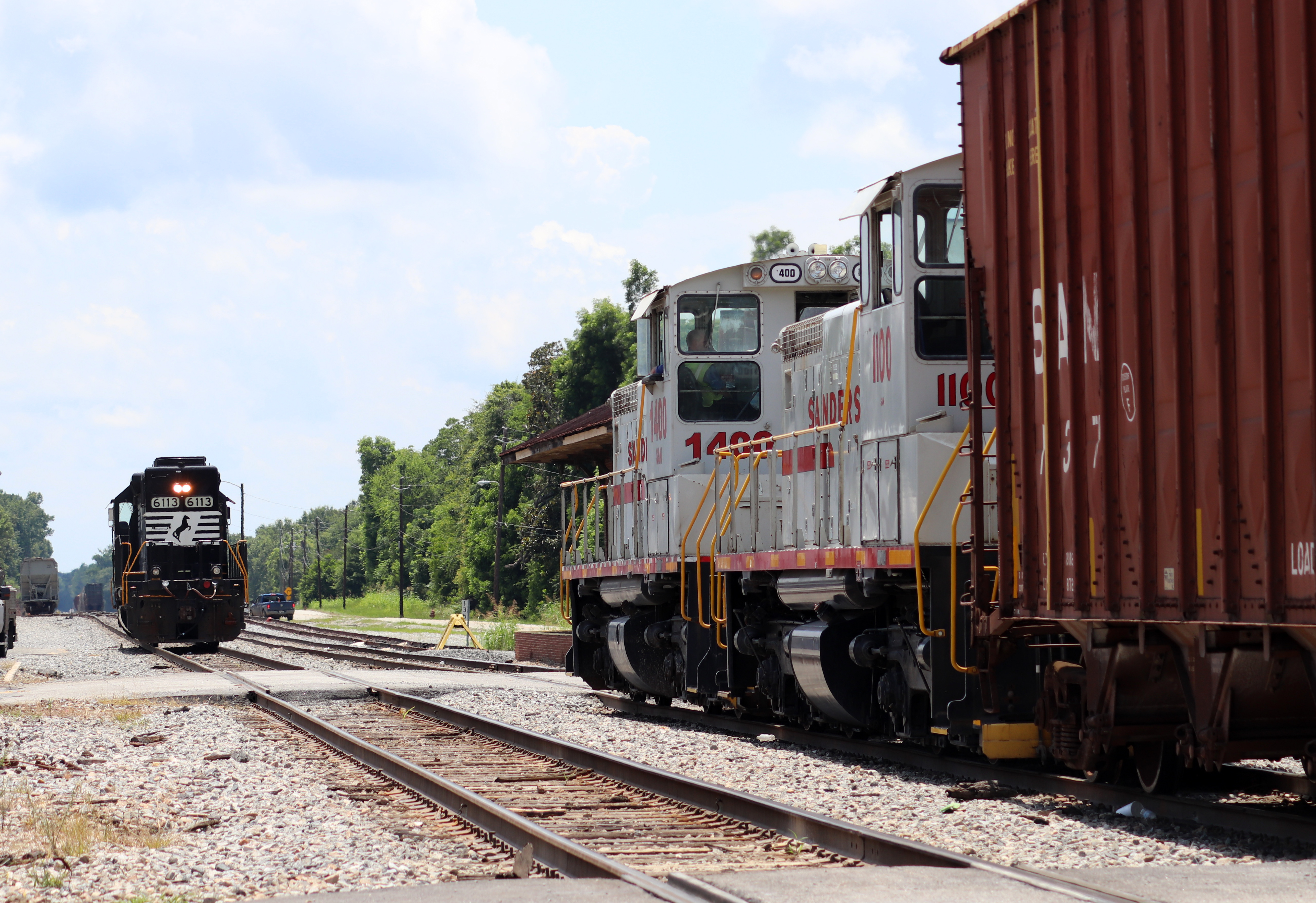
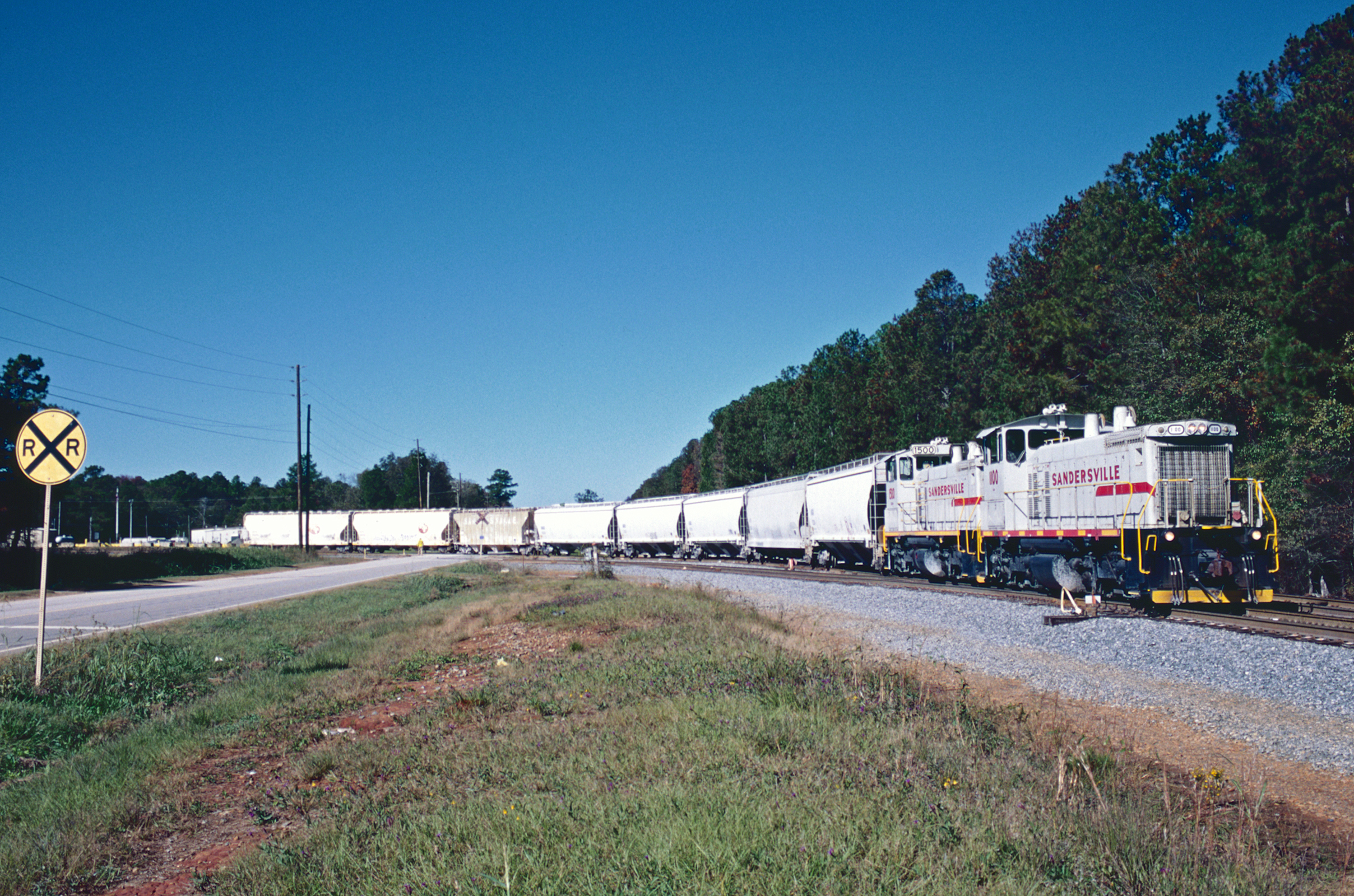
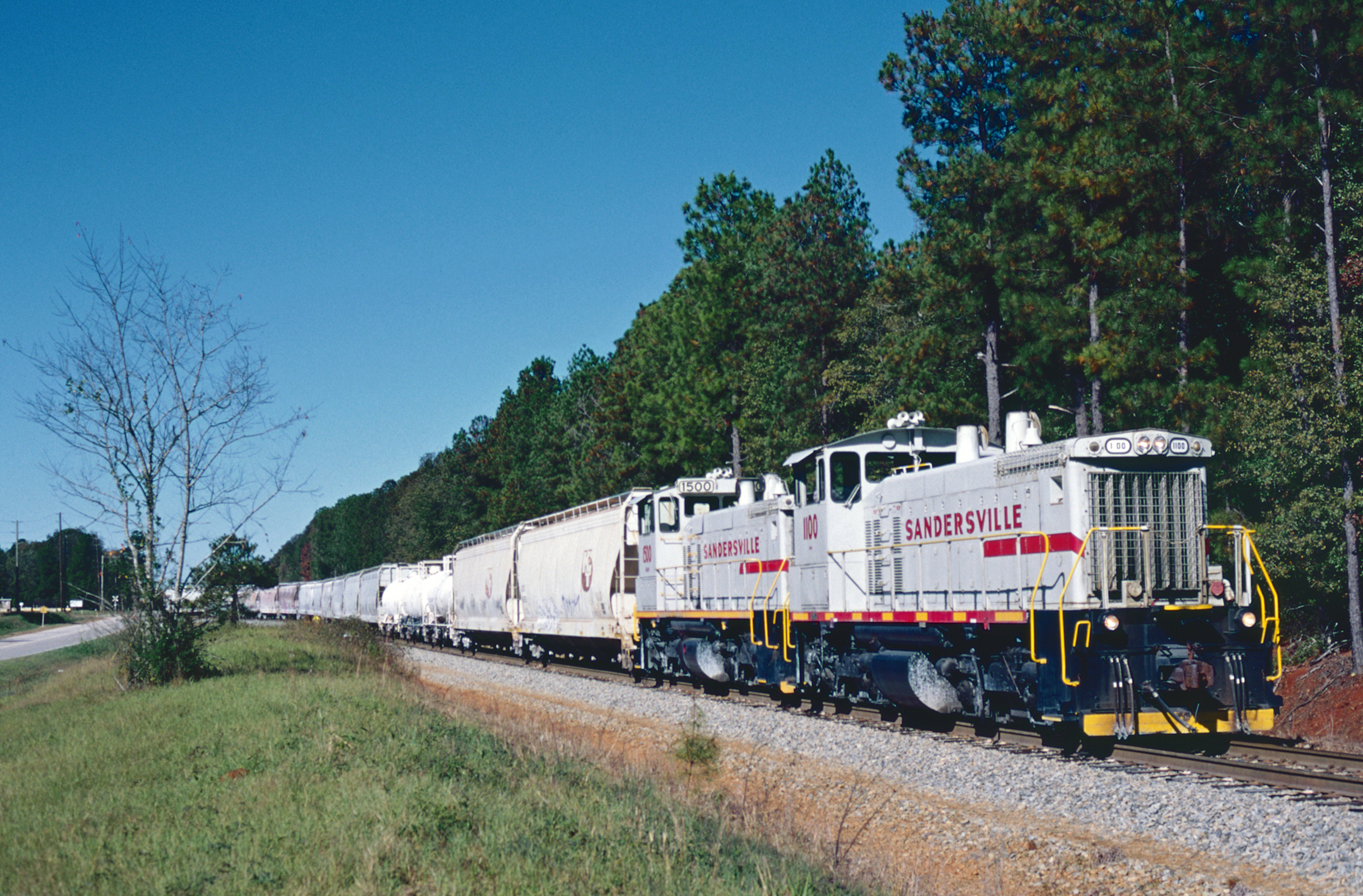
SAN 1100
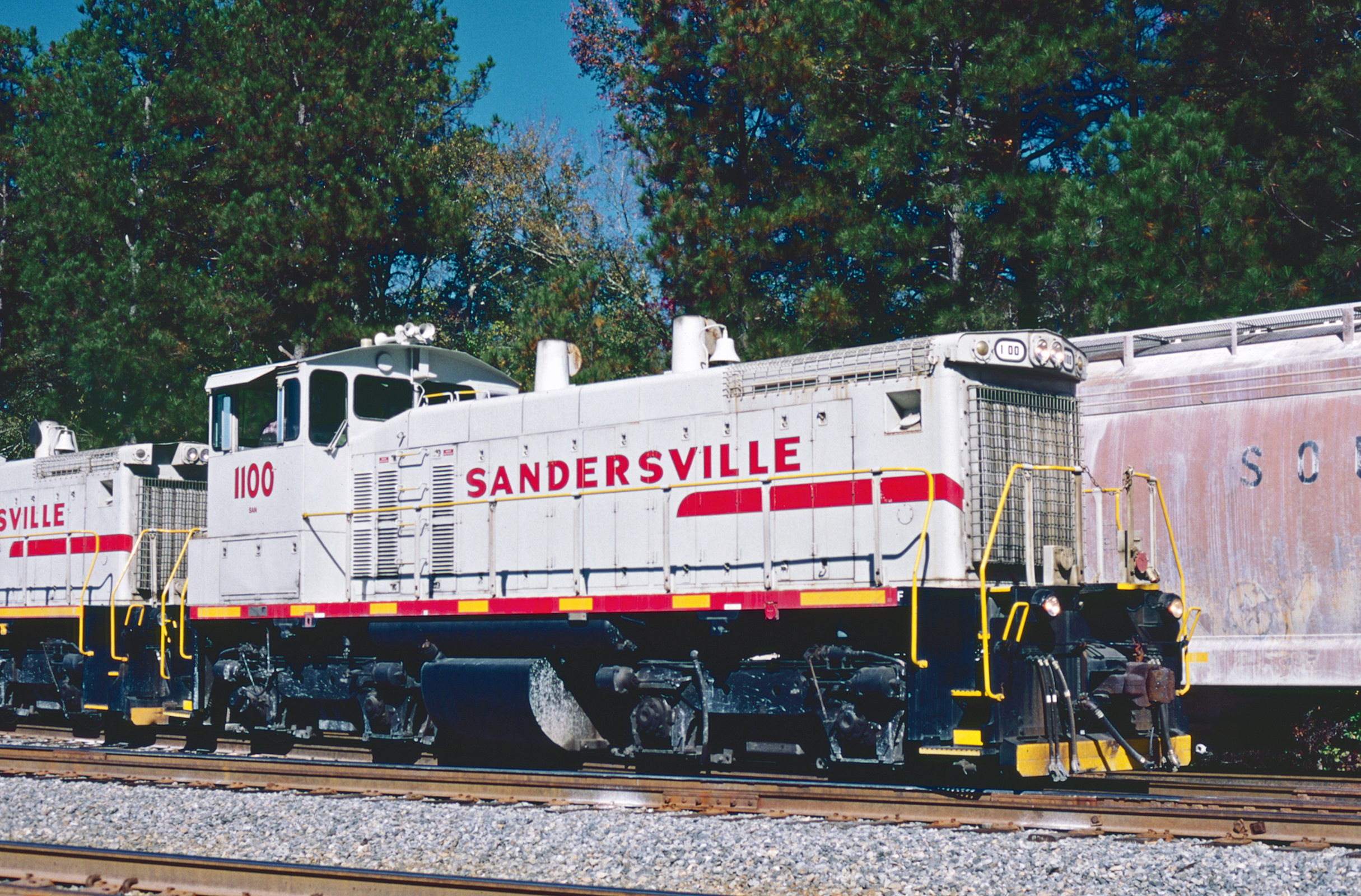
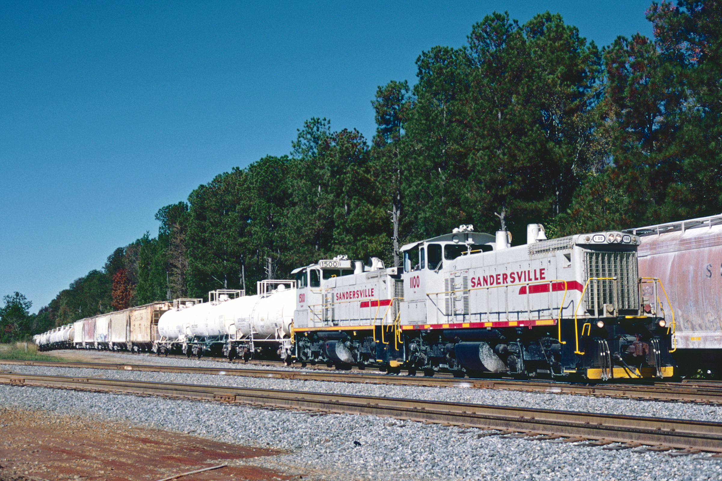
SAN 1100
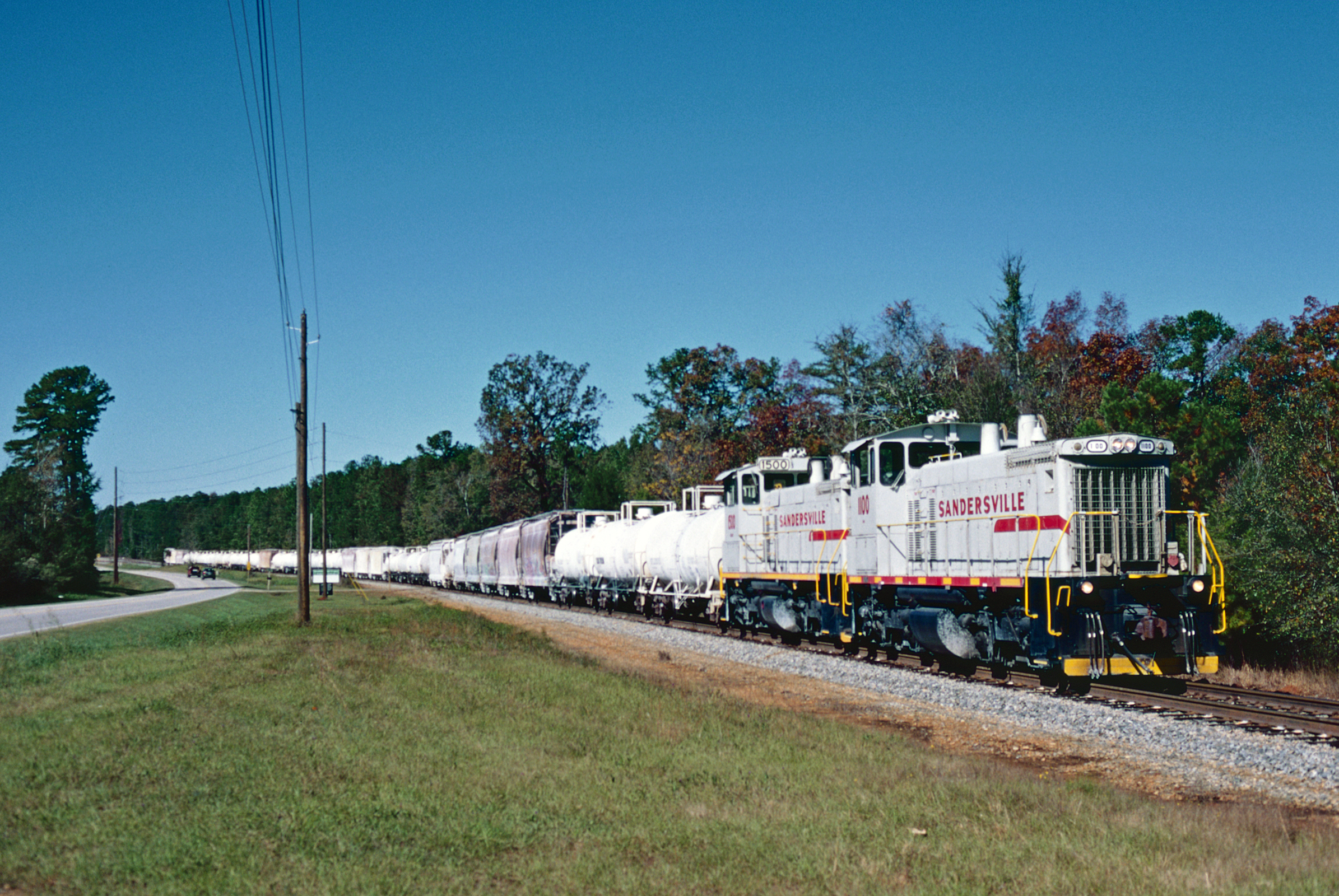
SAN 1100
SAN 1100
SAN 1100
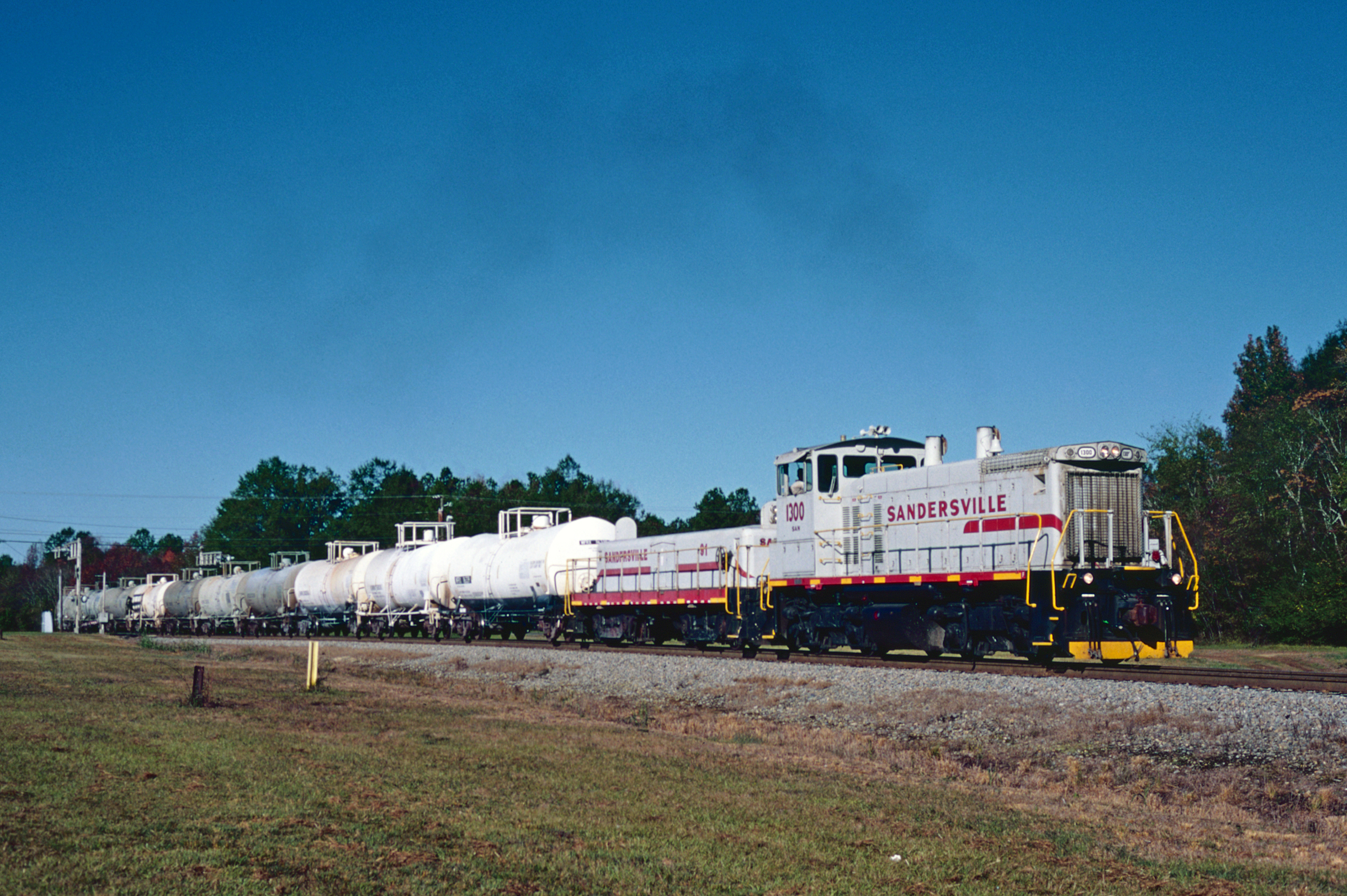
SAN 1300
SAN 1100
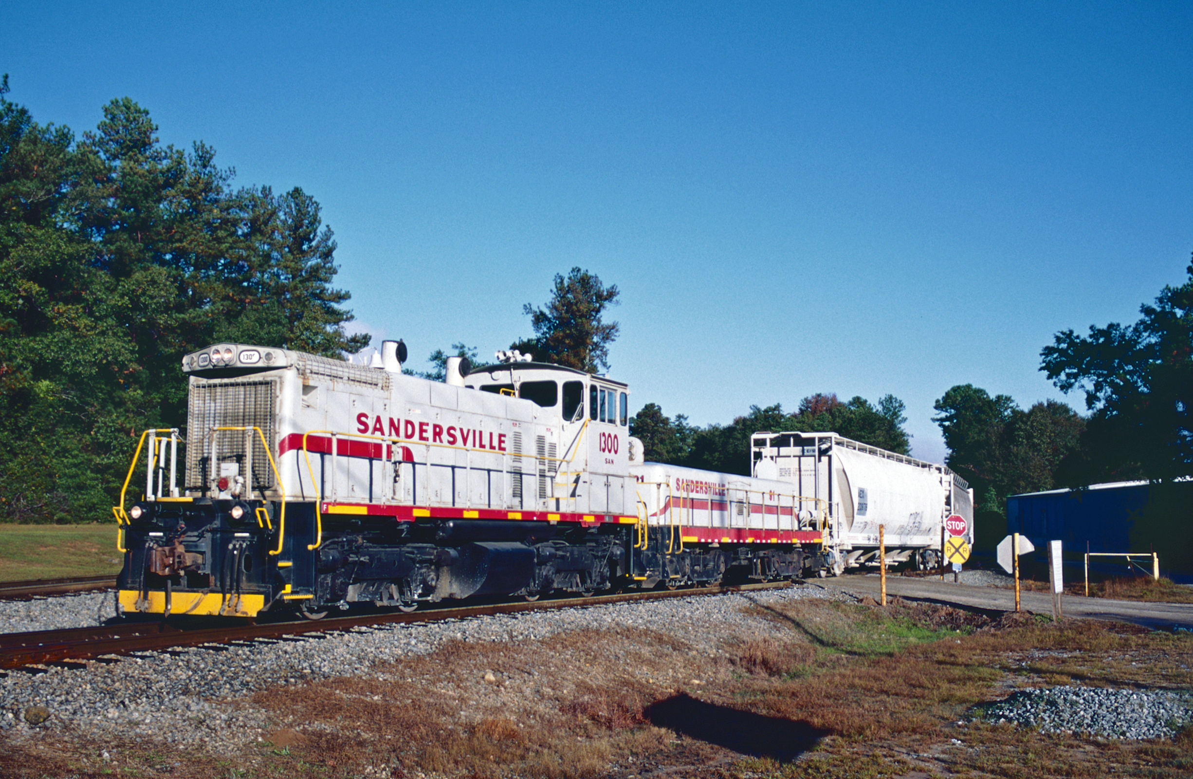
SAN 1300
The Sandersville

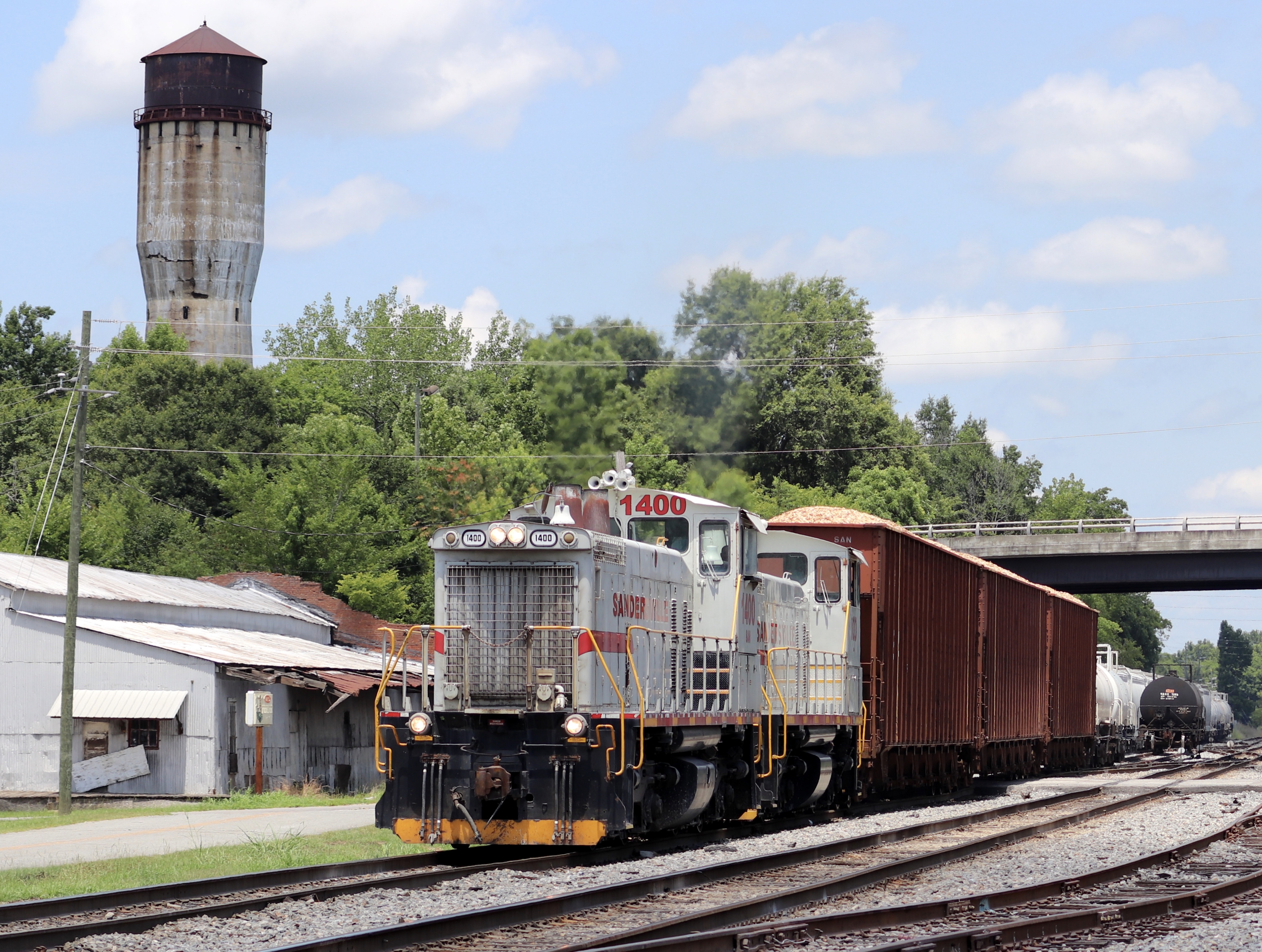
Sandersville 1400

P1340496 EDIT

P1340778 EDIT 1

P1340905 EDIT 1

P1340934 EDIT 1
Teen Maze 12 - Washington Co., GA - 3-18-13

P1270360 EDIT
P1270273 EDIT 1
P1260938 EDIT
Tennille, Georgia
Masonic Building Sandersville GA
Topographic Map of Dogwood Dr, Sandersville, GA, USA
Find elevation by address:

Places near Dogwood Dr, Sandersville, GA, USA:
Sandersville
Washington County
Washington County High School
1554 Tennille Oconee Rd
Tennille
421 Webster Rd
Georgia 15
5922 Ga-24
5922 Ga-24
Deepstep Rd, Deepstep, GA, USA
631 Avant Cemetery Rd
Riddleville-Davisboro Rd, Harrison, GA, USA
Riddleville
Riddleville
Riddleville
Riddleville
Davisboro
GA-, Mitchell, GA, USA
6071 Hamburg State Park Rd
Mitchell
Recent Searches:
- Elevation of Corso Fratelli Cairoli, 35, Macerata MC, Italy
- Elevation of Tallevast Rd, Sarasota, FL, USA
- Elevation of 4th St E, Sonoma, CA, USA
- Elevation of Black Hollow Rd, Pennsdale, PA, USA
- Elevation of Oakland Ave, Williamsport, PA, USA
- Elevation of Pedrógão Grande, Portugal
- Elevation of Klee Dr, Martinsburg, WV, USA
- Elevation of Via Roma, Pieranica CR, Italy
- Elevation of Tavkvetili Mountain, Georgia
- Elevation of Hartfords Bluff Cir, Mt Pleasant, SC, USA