Elevation of Tennille, GA, USA
Location: United States > Georgia > Washington County >
Longitude: -82.811527
Latitude: 32.9359886
Elevation: 143m / 469feet
Barometric Pressure: 100KPa
Elevation Map:
Satellite Map:
Related Photos:
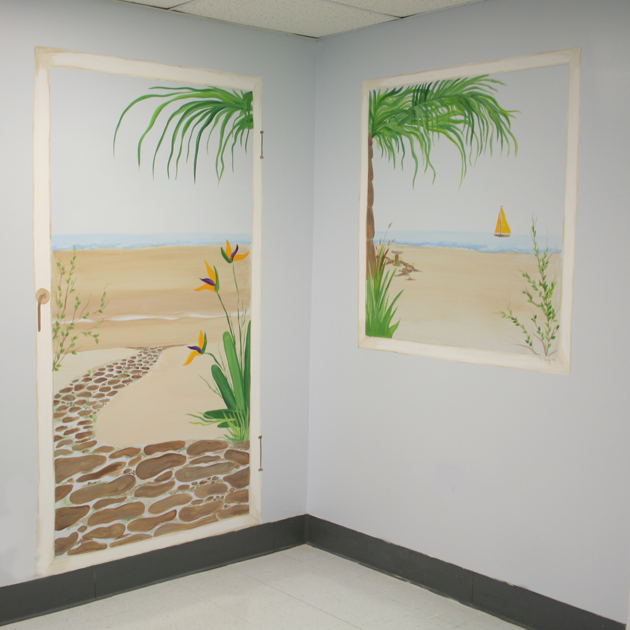
Hospital Room with a view
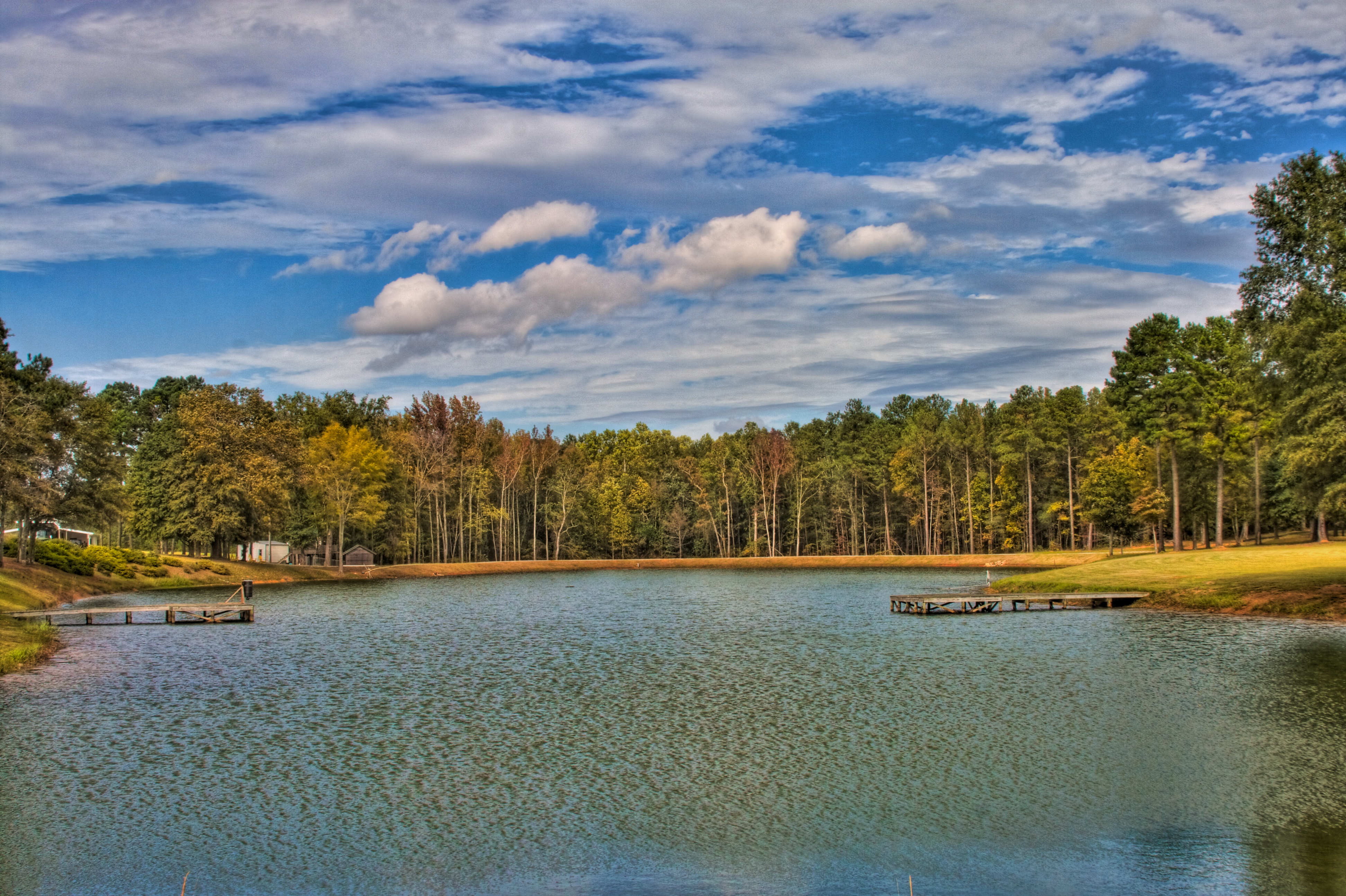
Fishing lake

Sunflower Field

Into the Woods

Old Chevy

Rusted Tractor

Nobody's Home
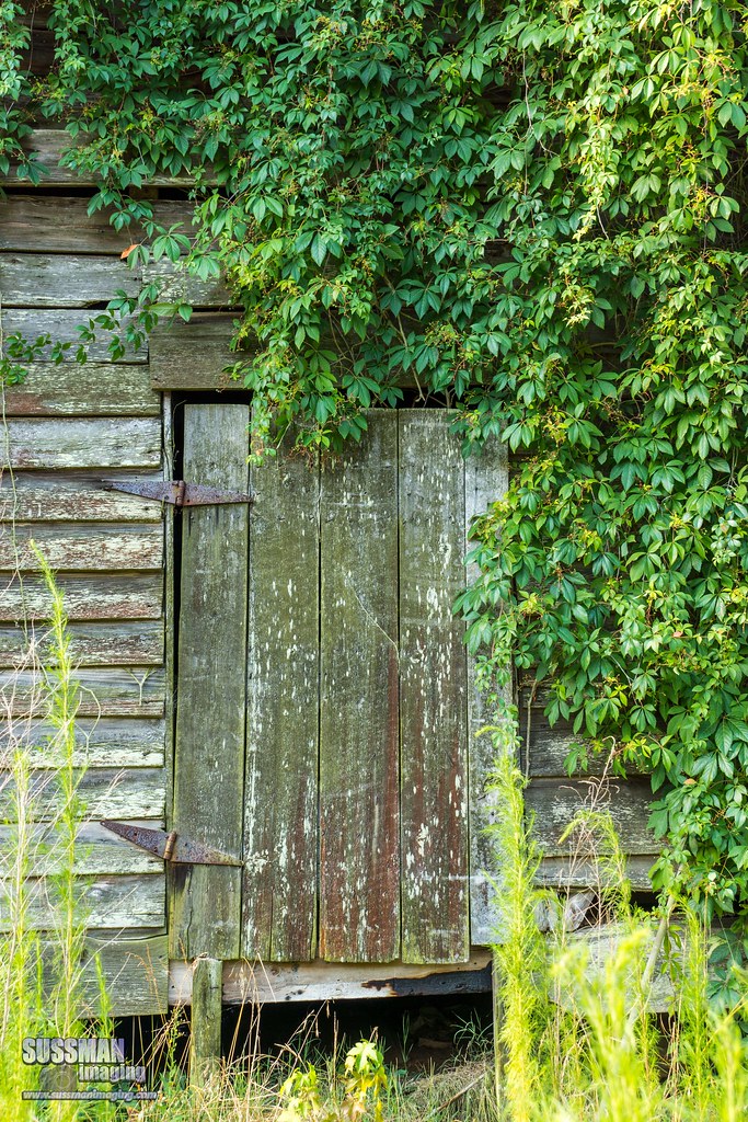
Door to the Past
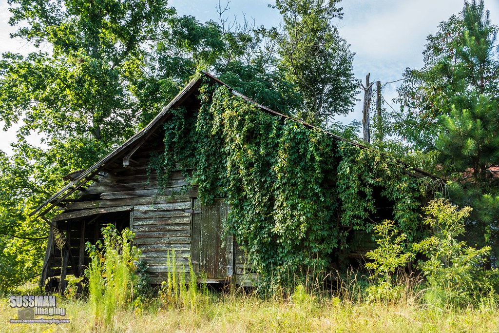
Reclaimed by Nature
No Longer In Use

Old Chevy
Nobody's Home

Sunflower Field

Sunflower Field

Sunflower Field

Sunflower Field

Sunflower Field

Sunflower Field

Sunflower Field

Sunflower Field

Sunflower Field

Sunflower Field

Sunflower Field
Topographic Map of Tennille, GA, USA
Find elevation by address:

Places in Tennille, GA, USA:
Places near Tennille, GA, USA:
1554 Tennille Oconee Rd
Washington County
Washington County High School
Sandersville
611 Dogwood Dr
Georgia 15
631 Avant Cemetery Rd
5922 Ga-24
5922 Ga-24
421 Webster Rd
Riddleville-Davisboro Rd, Harrison, GA, USA
Riddleville
Riddleville
Riddleville
Riddleville
Deepstep Rd, Deepstep, GA, USA
Davisboro
Wrightsville
Johnson County
GA-, Mitchell, GA, USA
Recent Searches:
- Elevation of Corso Fratelli Cairoli, 35, Macerata MC, Italy
- Elevation of Tallevast Rd, Sarasota, FL, USA
- Elevation of 4th St E, Sonoma, CA, USA
- Elevation of Black Hollow Rd, Pennsdale, PA, USA
- Elevation of Oakland Ave, Williamsport, PA, USA
- Elevation of Pedrógão Grande, Portugal
- Elevation of Klee Dr, Martinsburg, WV, USA
- Elevation of Via Roma, Pieranica CR, Italy
- Elevation of Tavkvetili Mountain, Georgia
- Elevation of Hartfords Bluff Cir, Mt Pleasant, SC, USA