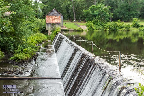
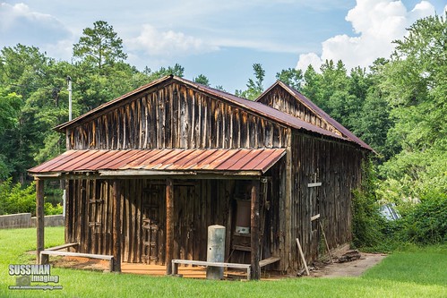
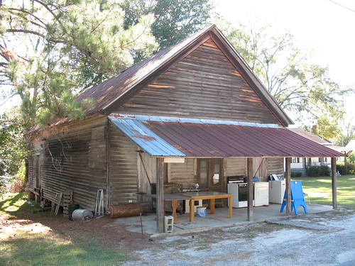
Elevation of Davisboro, GA, USA
Location: United States > Georgia > Washington County >
Longitude: -82.607909
Latitude: 32.9790425
Elevation: 93m / 305feet
Barometric Pressure: 100KPa
Related Photos:
Topographic Map of Davisboro, GA, USA
Find elevation by address:

Places near Davisboro, GA, USA:
Friendship Church Rd, Bartow, GA, USA
Riddleville-Davisboro Rd, Harrison, GA, USA
Riddleville
Riddleville
Riddleville
Riddleville
5922 Ga-24
5922 Ga-24
Bartow
1705 Bothwell Rd
Washington County High School
W Broad St, Louisville, GA, USA
Louisville
Jefferson County
Georgia 15
Sandersville
Tennille
Huddle House
Washington County
Mole Rd, Wadley, GA, USA
Recent Searches:
- Elevation of Corso Fratelli Cairoli, 35, Macerata MC, Italy
- Elevation of Tallevast Rd, Sarasota, FL, USA
- Elevation of 4th St E, Sonoma, CA, USA
- Elevation of Black Hollow Rd, Pennsdale, PA, USA
- Elevation of Oakland Ave, Williamsport, PA, USA
- Elevation of Pedrógão Grande, Portugal
- Elevation of Klee Dr, Martinsburg, WV, USA
- Elevation of Via Roma, Pieranica CR, Italy
- Elevation of Tavkvetili Mountain, Georgia
- Elevation of Hartfords Bluff Cir, Mt Pleasant, SC, USA


