Elevation of Vidette, GA, USA
Location: United States > Georgia > Burke County >
Longitude: -82.247345
Latitude: 33.0376503
Elevation: 108m / 354feet
Barometric Pressure: 100KPa
Elevation Map:
Satellite Map:
Related Photos:
IMG_0881

New photo added to "All Photos"
New photo added to "All Photos"

Louisville Slugger

Jeremy Harkins

New photo added to "All Photos"

New photo added to "All Photos"

New photo added to "All Photos"

New photo added to "All Photos"

New photo added to "All Photos"

New photo added to "All Photos"

Tundra Swan 12/07/14

Tundra Goose 12/07/14 Magruder Rd. Burke Co, GA
House 802 Mulberry St Louisville GA

Baptist Church Turned Warehouse Louisville GA

Louisville GA Marker
Pal Theater Louisville GA
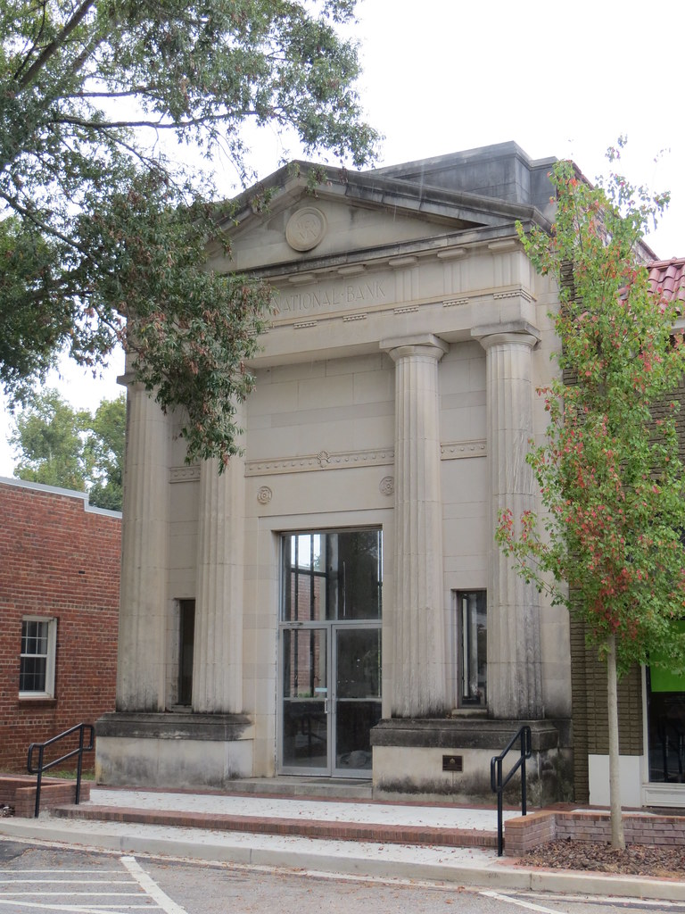
First National Bank Louisville GA
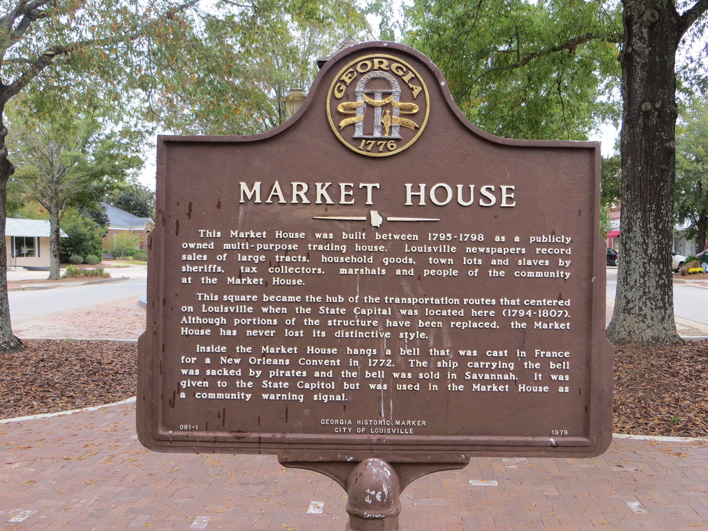
Market House Marker Louisville GA

Market House (Slave Market) Louisville GA
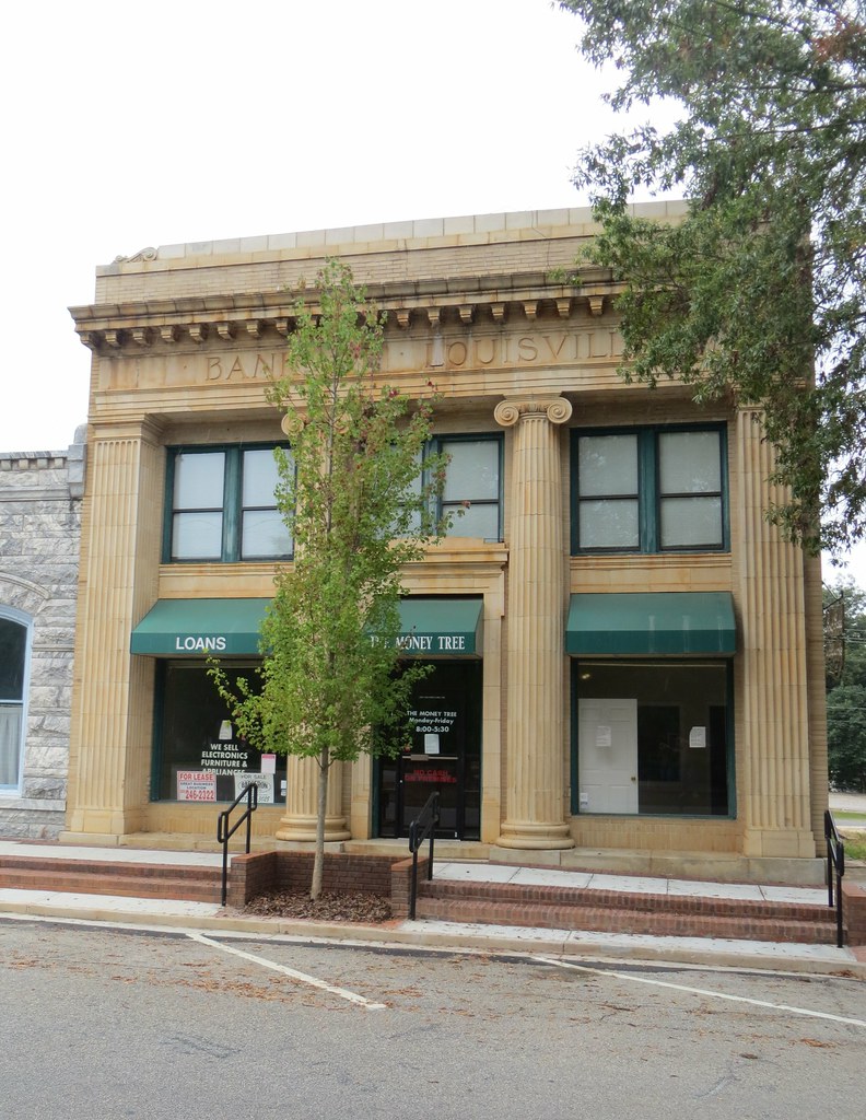
Bank of Louisville GA

The 1893 Building Louisville GA
Topographic Map of Vidette, GA, USA
Find elevation by address:

Places in Vidette, GA, USA:
Places near Vidette, GA, USA:
GA-, Louisville, GA, USA
Fendig St, Keysville, GA, USA
GA-, Louisville, GA, USA
GA-24, Waynesboro, GA, USA
GA-, Midville, GA, USA
W Quaker Rd, Keysville, GA, USA
GA-56, Midville, GA, USA
Huddle House
Louisville
W Broad St, Louisville, GA, USA
Mole Rd, Wadley, GA, USA
Campground Rd, Wrens, GA, USA
Jefferson County
Center St, Keysville, GA, USA
Keysville
318 Ga-17
Middleground Rd, Waynesboro, GA, USA
Midville
Wrens
Lovers Lane
Recent Searches:
- Elevation of Corso Fratelli Cairoli, 35, Macerata MC, Italy
- Elevation of Tallevast Rd, Sarasota, FL, USA
- Elevation of 4th St E, Sonoma, CA, USA
- Elevation of Black Hollow Rd, Pennsdale, PA, USA
- Elevation of Oakland Ave, Williamsport, PA, USA
- Elevation of Pedrógão Grande, Portugal
- Elevation of Klee Dr, Martinsburg, WV, USA
- Elevation of Via Roma, Pieranica CR, Italy
- Elevation of Tavkvetili Mountain, Georgia
- Elevation of Hartfords Bluff Cir, Mt Pleasant, SC, USA