Elevation map of Jamaica
Longitude: -77.297508
Latitude: 18.109581
Elevation: 206m / 676feet
Barometric Pressure: 99KPa
Elevation Map:
Satellite Map:
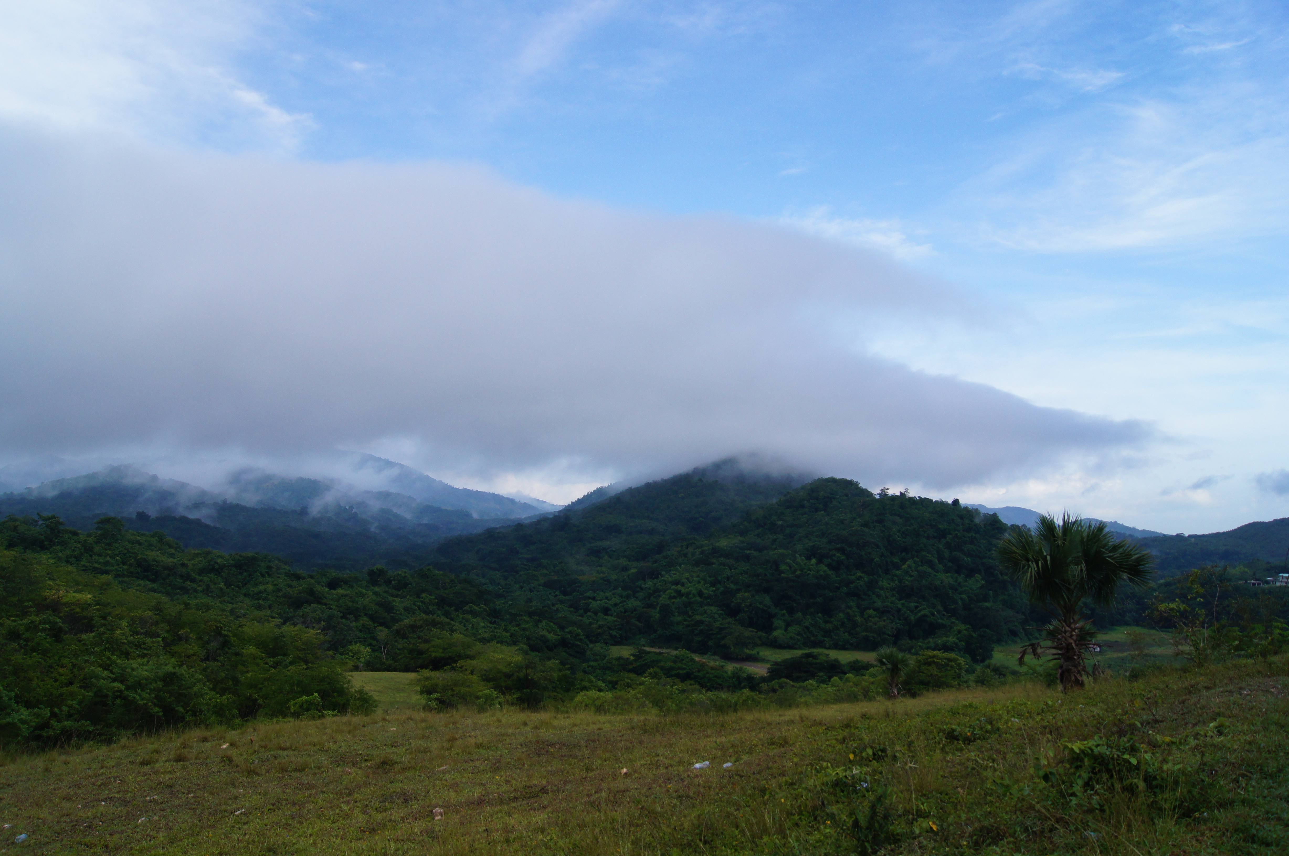
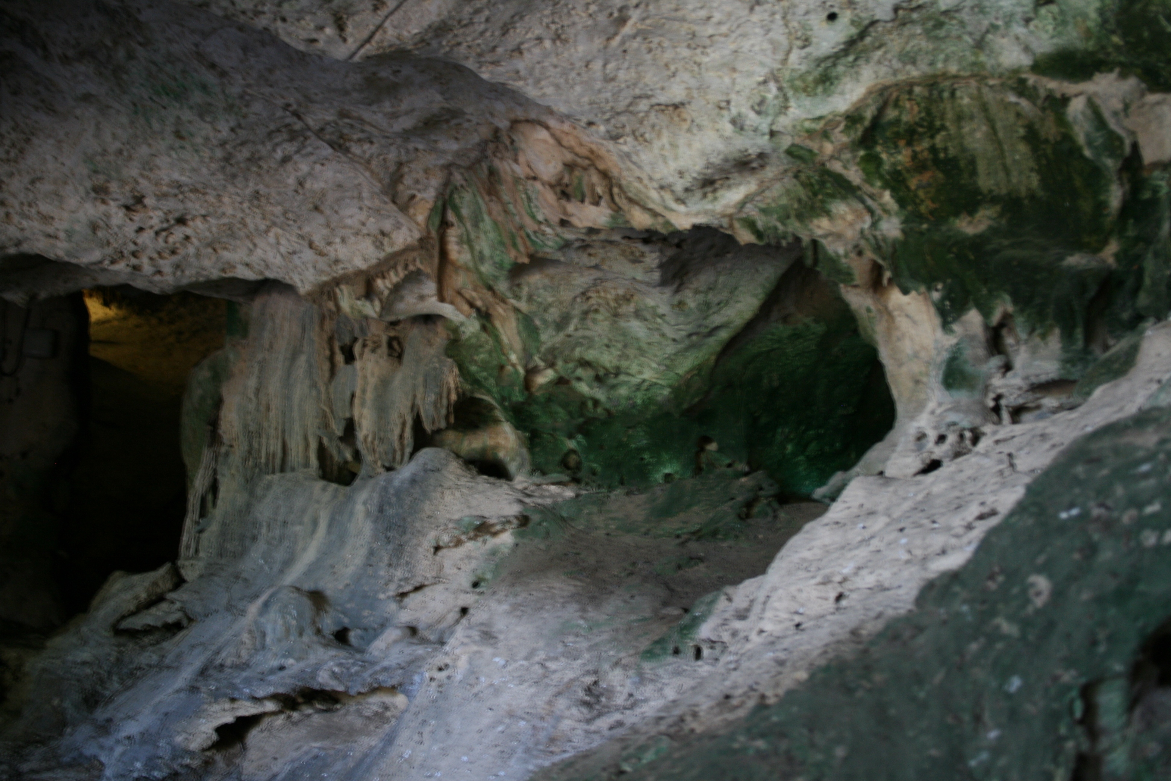
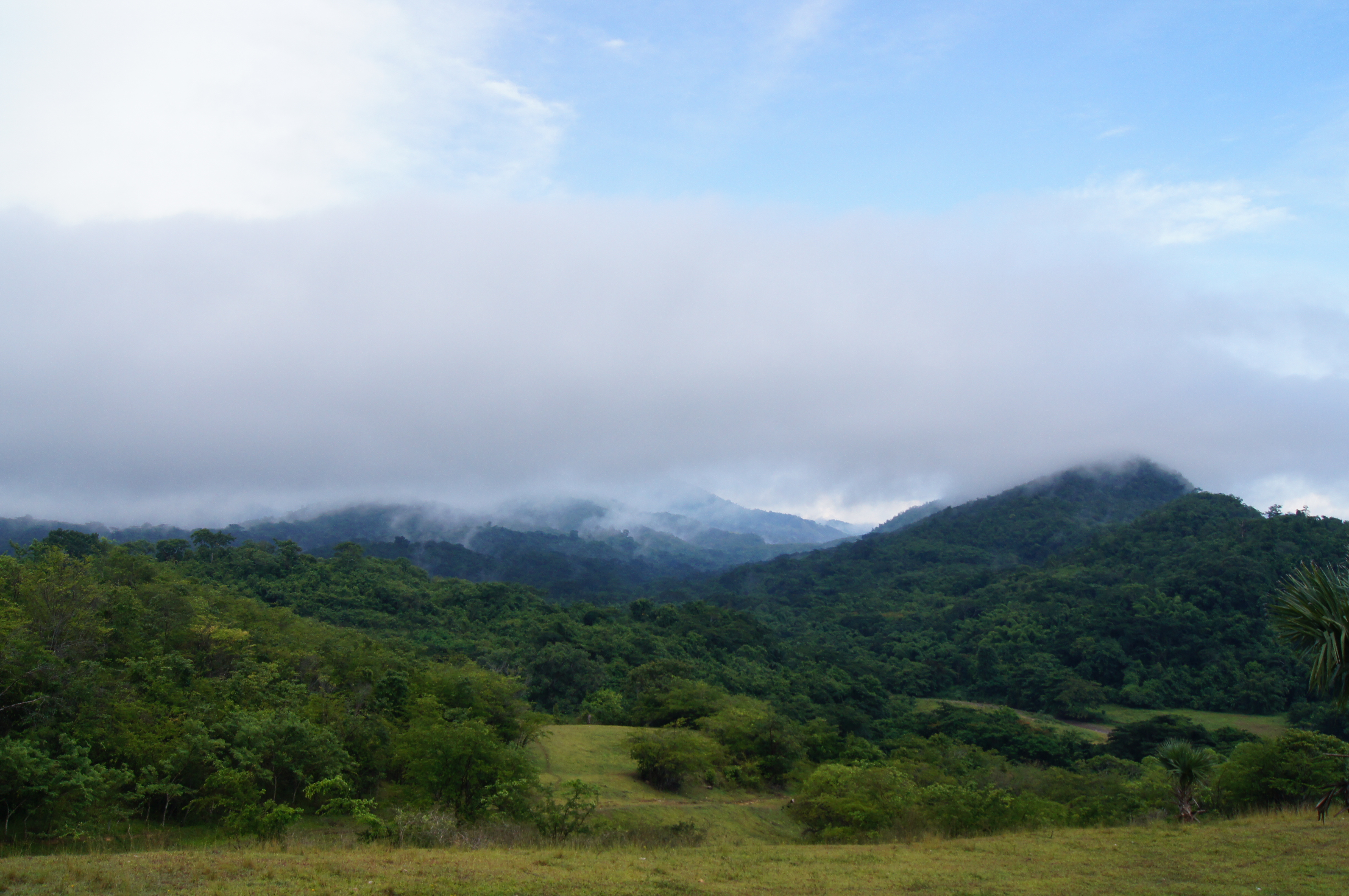
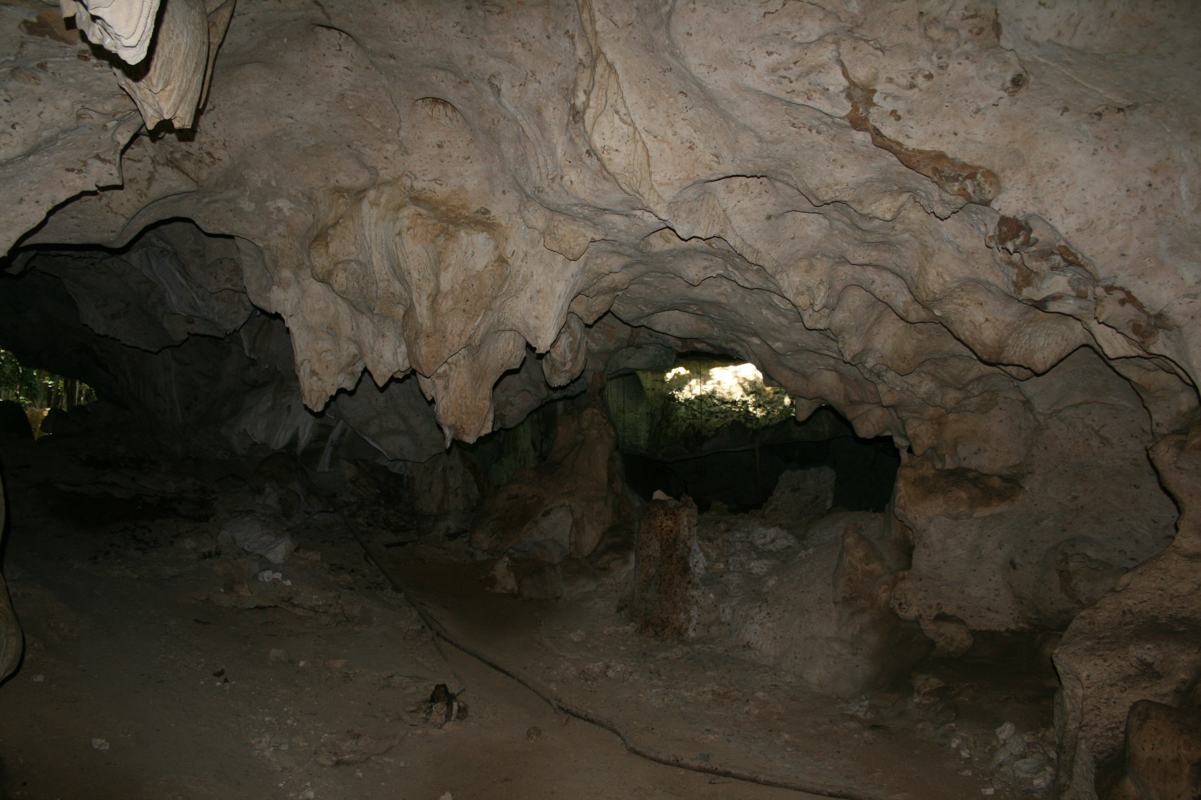
Related Photos:

Jamaica

20050515_0019_view_from_blue_mountain
DSC06288.JPG
IMG_4398.JPG
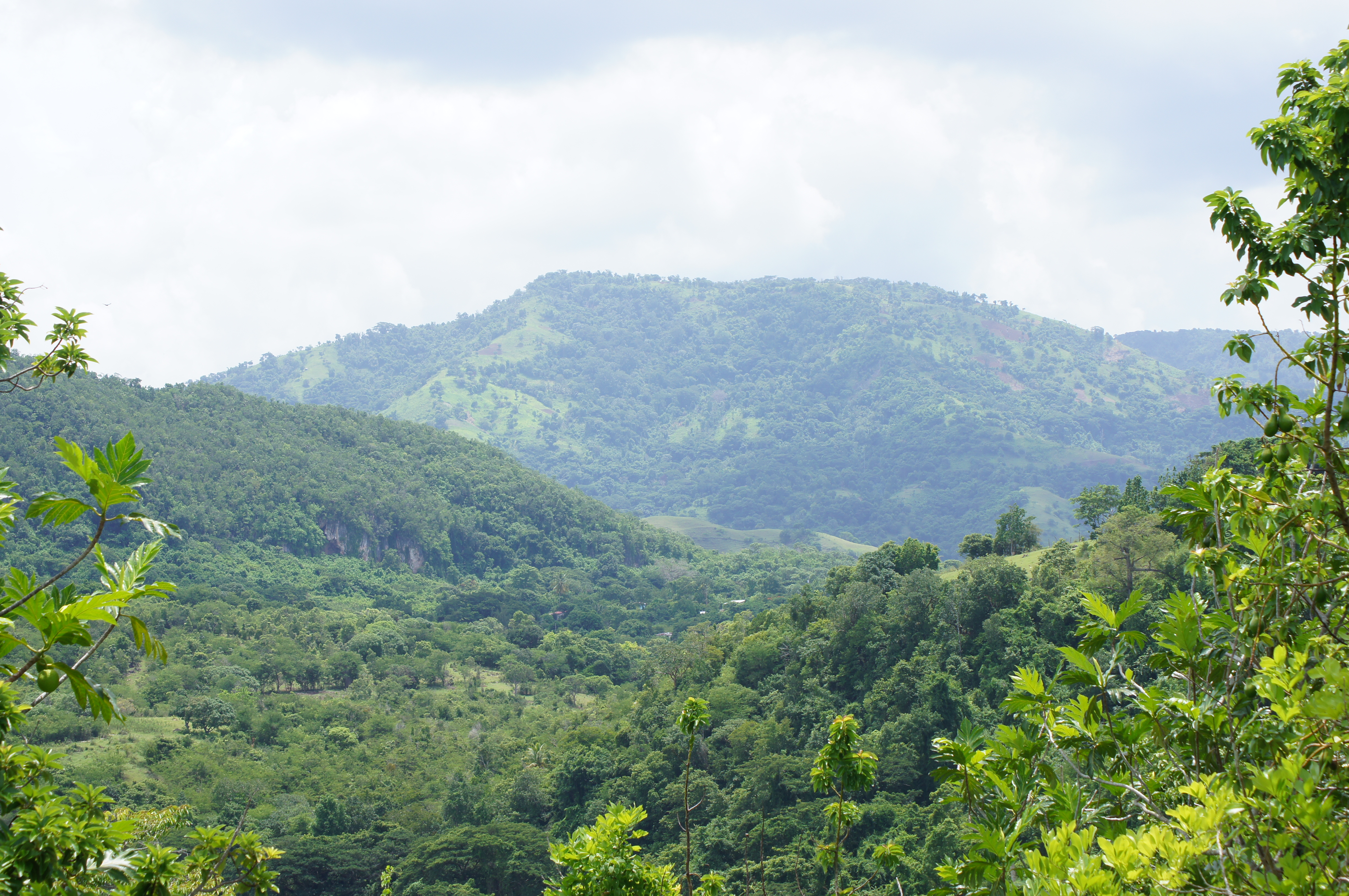
Home Pictures 927
#beautiful #beautifulday #travel #jamaica #ocean #sky #boat #blue #gorgeous #driving #inmotion #photography #photographer #ma5tr0 #followme #nofilter #instagood #instamood #instadaily #igers #photogallery #oldpic #gorgeous #instarelax

Home Pictures 936

Home Pictures 936
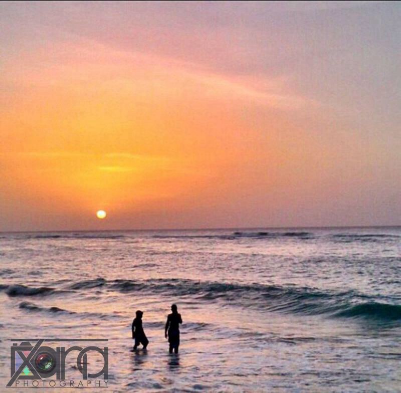
The happiest place on earth. The sea is always dancing.

Home Pictures 927
IMG_4381.JPG
IMG_4421.JPG
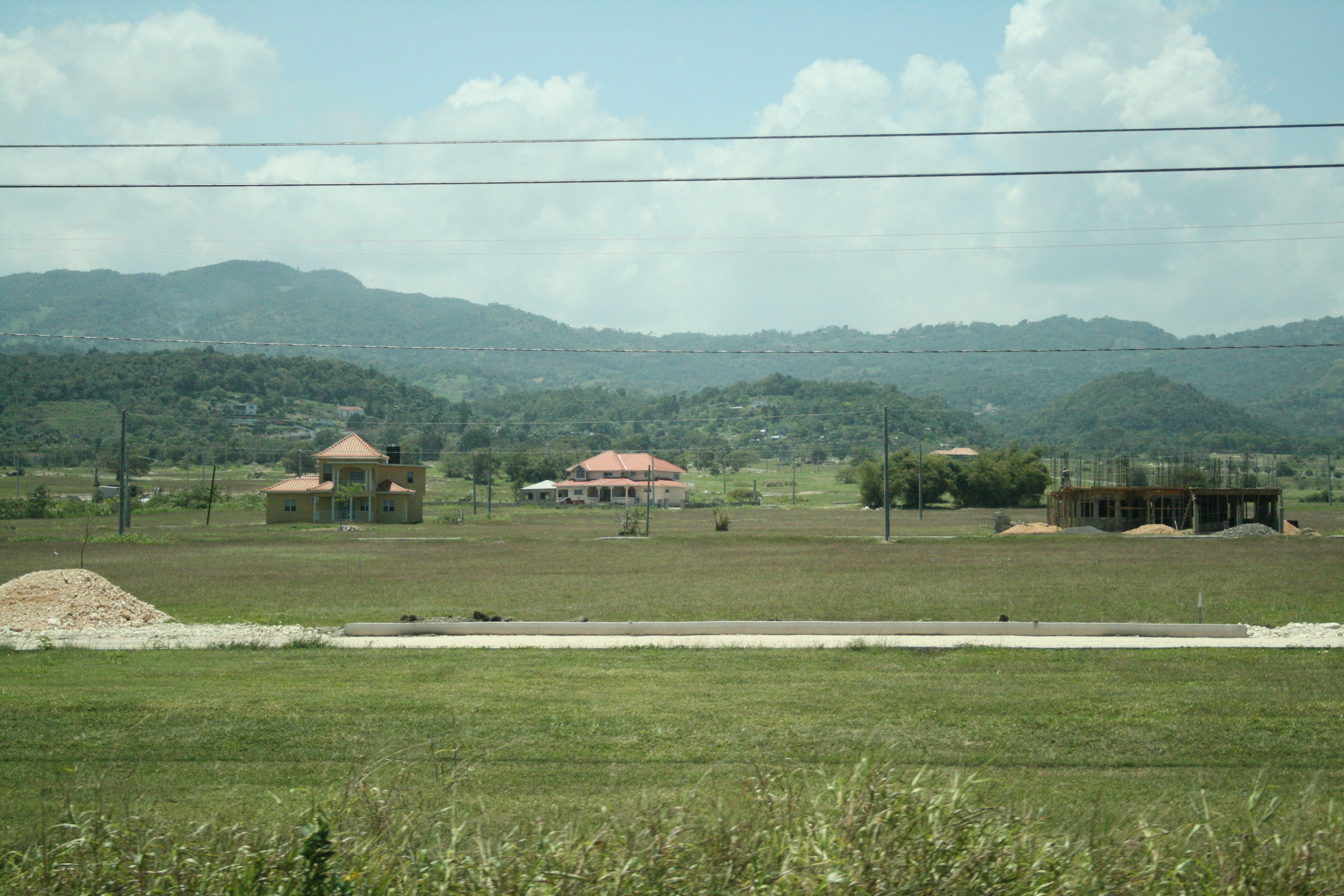
Home Pictures 916
Home Pictures 914
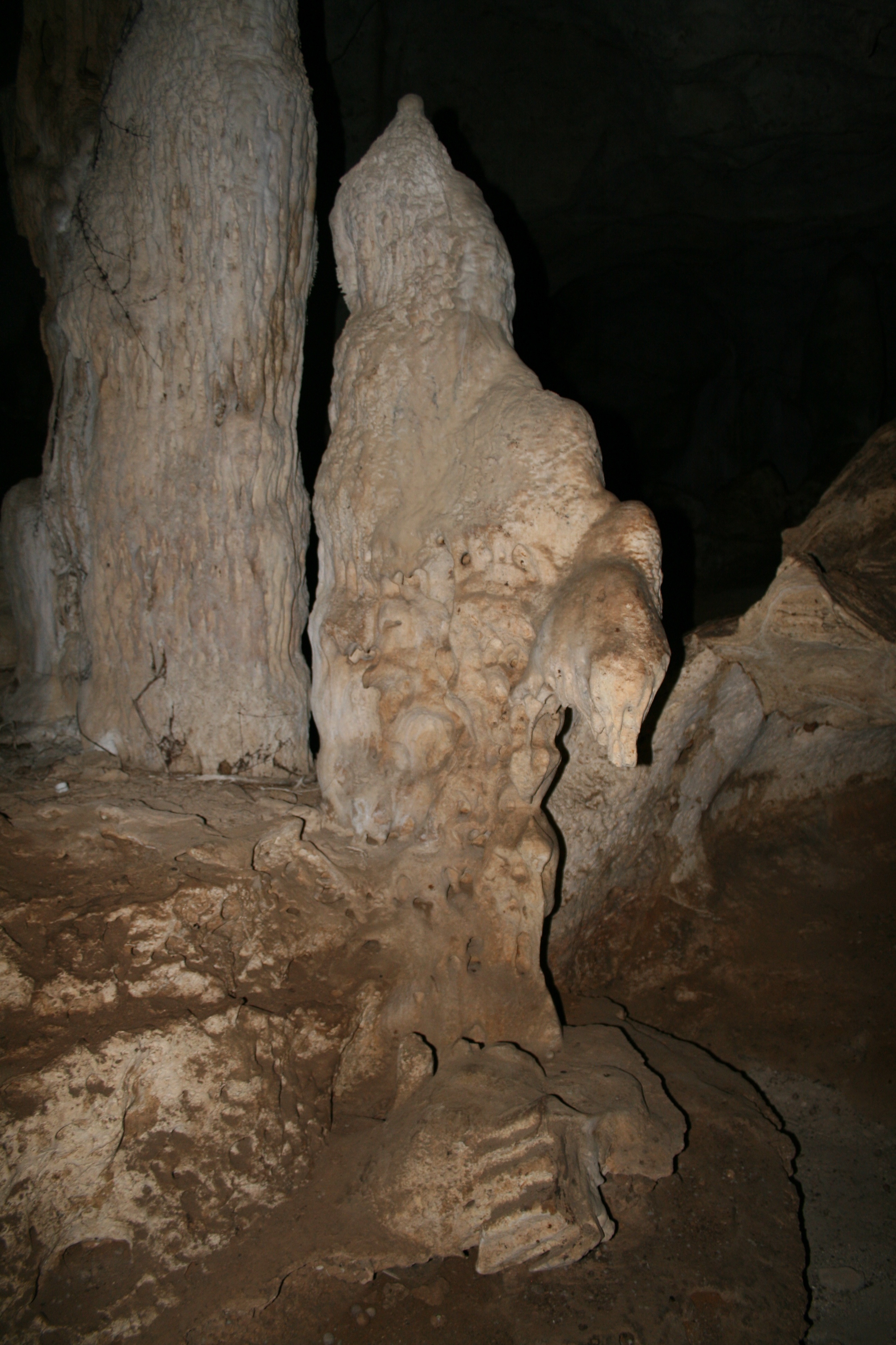
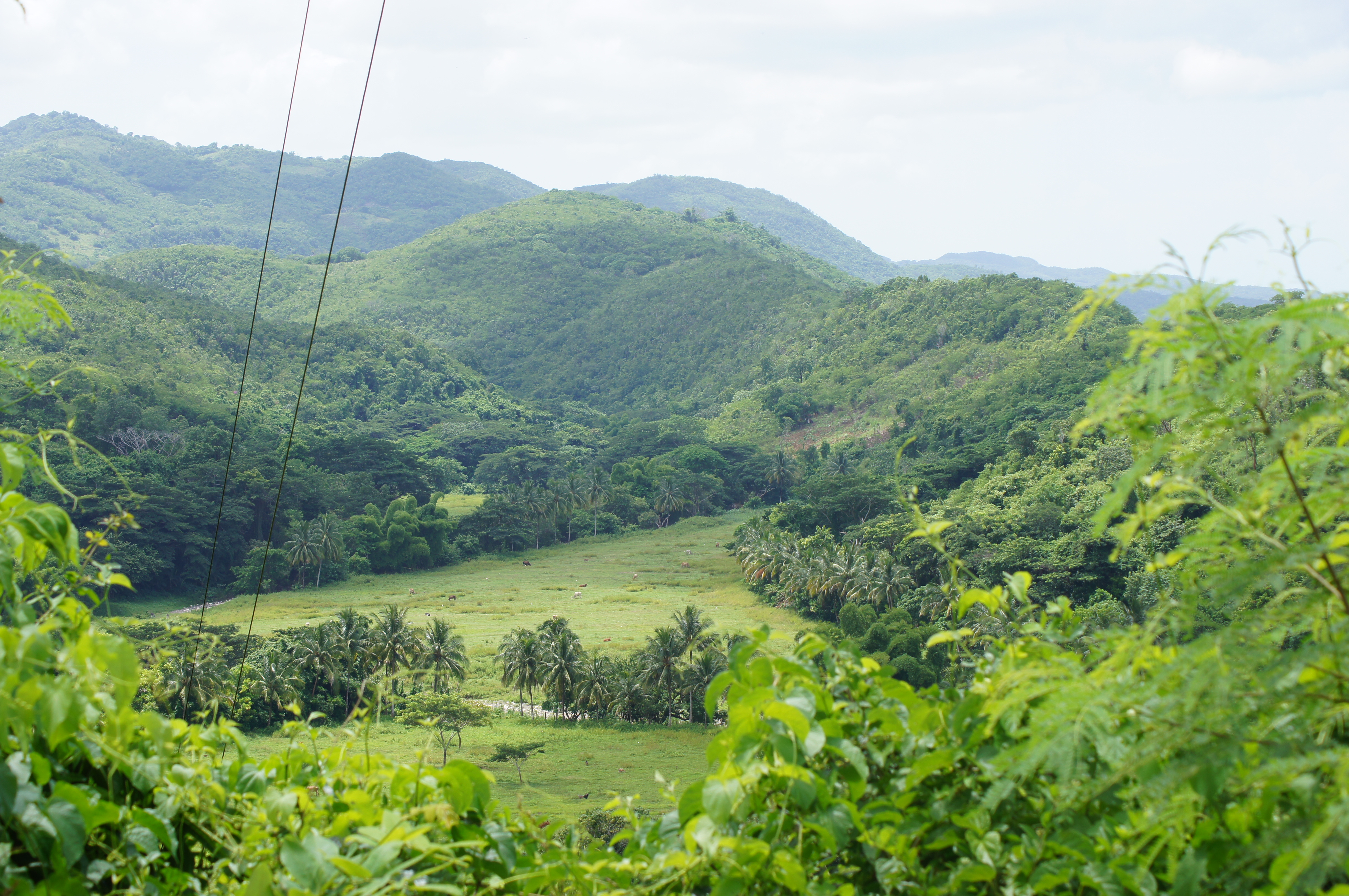
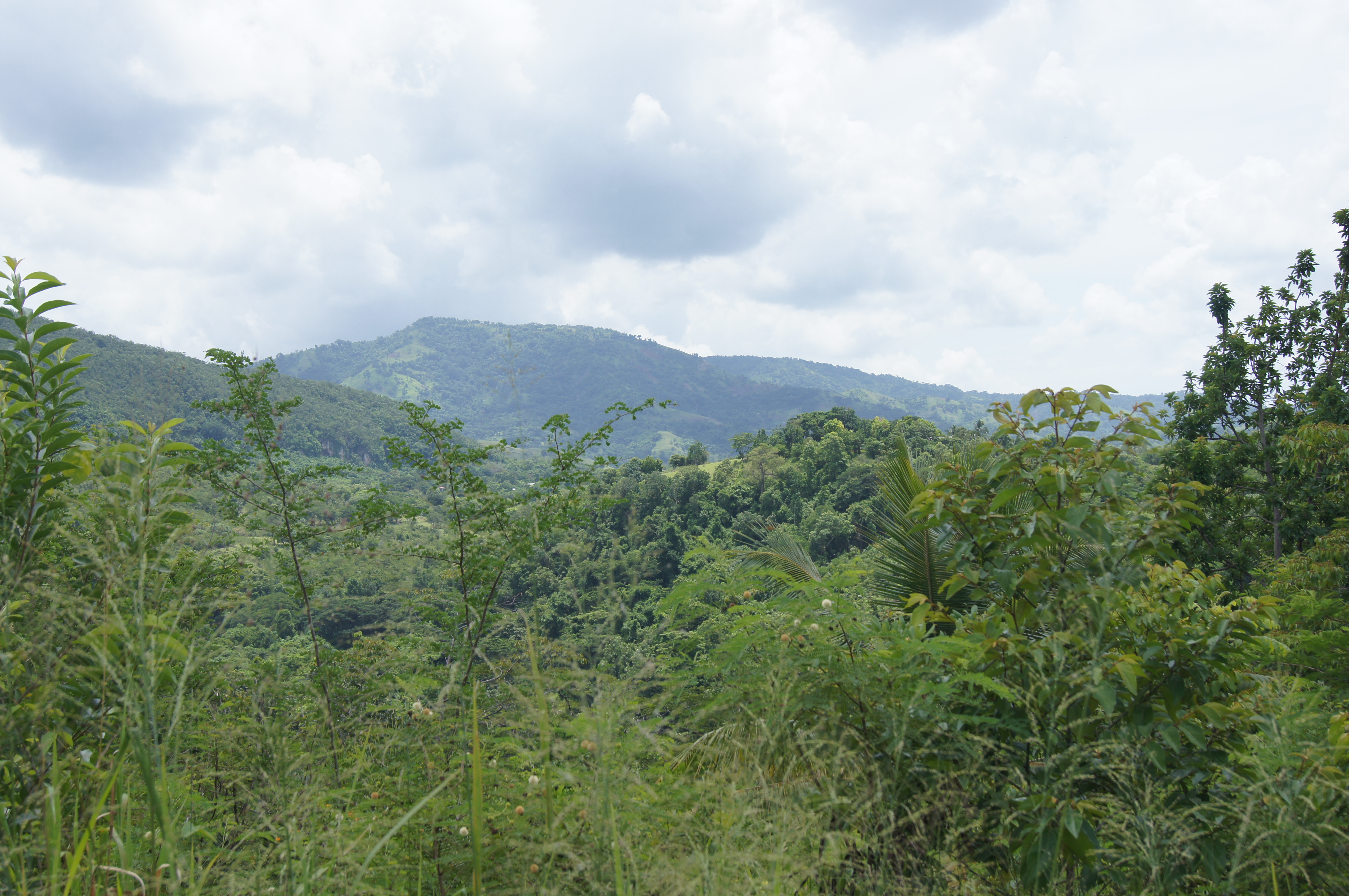
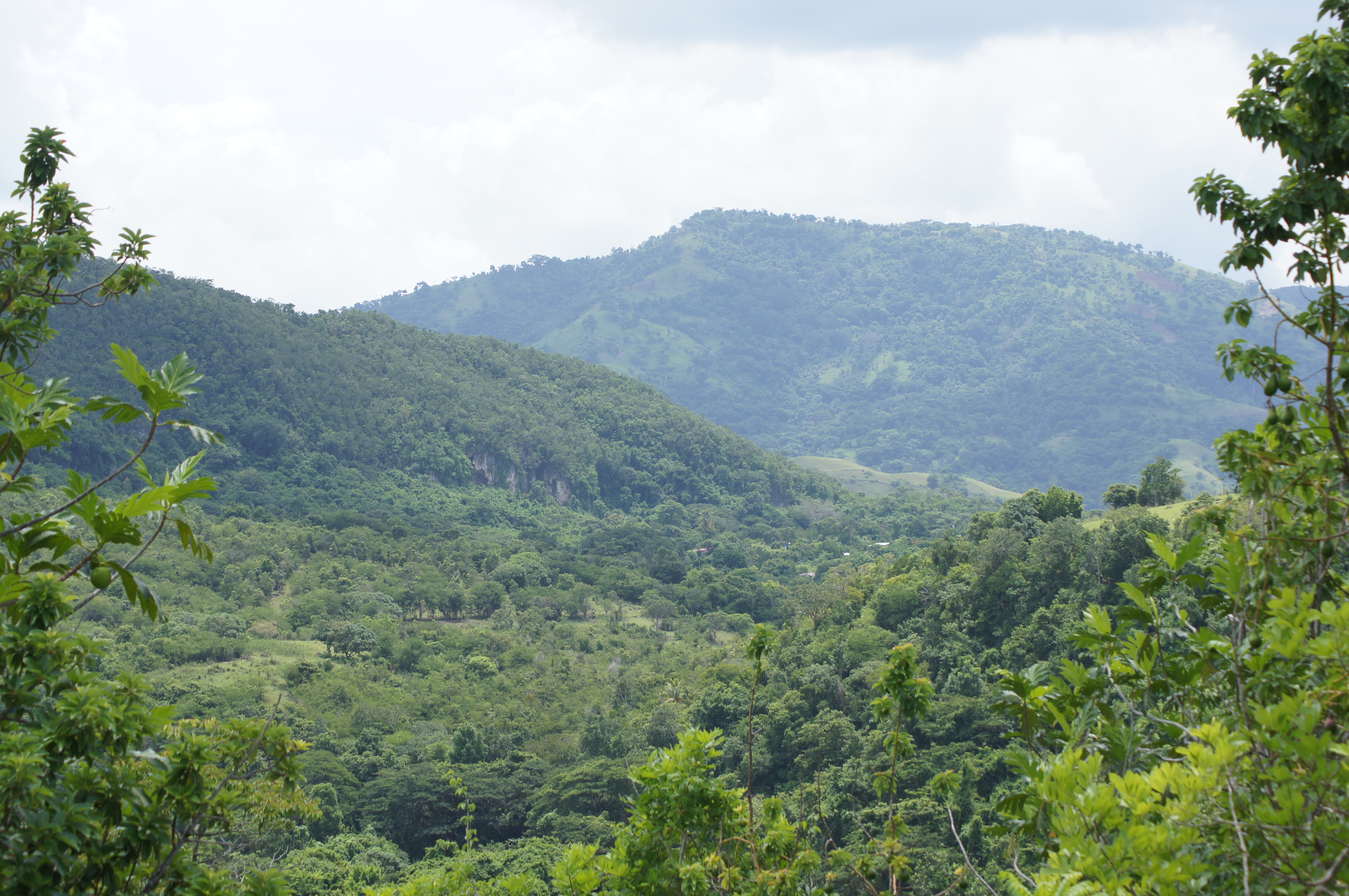
ROCK RIVER CLARENDON
IMG_4357.JPG

Home Pictures 913

IMG_4384.JPG

ROCK RIVER CLARENDON
ROCK RIVER CLARENDON
Home Pictures 926
Home Pictures 912
IMG_4386.JPG
Topographic Map of Jamaica
Find elevation by address:

Places in Jamaica:
Saint Andrew Parish
Saint Ann Parish
Saint Catherine Parish
Manchester Parish
Portland Parish
Saint James Parish
Saint Elizabeth Parish
Westmoreland Parish
Clarendon
Hanover Parish
Saint Thomas Parish
Runaway Bay
Duncans Square Clock Tower
Kingston Parish
St. Mary Parish
Trelawny Parish
Cornwall County
Places near Jamaica:
Chapelton
Mason River Nature Reserve
Bushy Park
Moores
Four Paths
Worthy Park Estate
Clarendon
Saint Catherine Parish
Old Harbour
Marlie Drive
Ardenne Ave, Spanish Town, Jamaica
Fairview Open Bible Church
Spanish Town
Great Goat Island
Brunswick Avenue
Hampton Green
Spanish Town Zone
Brunswick Street
Troja
Hellshire
Recent Searches:
- Elevation of Corso Fratelli Cairoli, 35, Macerata MC, Italy
- Elevation of Tallevast Rd, Sarasota, FL, USA
- Elevation of 4th St E, Sonoma, CA, USA
- Elevation of Black Hollow Rd, Pennsdale, PA, USA
- Elevation of Oakland Ave, Williamsport, PA, USA
- Elevation of Pedrógão Grande, Portugal
- Elevation of Klee Dr, Martinsburg, WV, USA
- Elevation of Via Roma, Pieranica CR, Italy
- Elevation of Tavkvetili Mountain, Georgia
- Elevation of Hartfords Bluff Cir, Mt Pleasant, SC, USA