Elevation of Clarendon, Jamaica
Location: Jamaica >
Longitude: -77.240515
Latitude: 17.9557183
Elevation: 76m / 249feet
Barometric Pressure: 100KPa
Elevation Map:
Satellite Map:
Related Photos:

Colour Aggregate

Mining Lakes

2011JEK0605408.jpg

2011JEK0605383.jpg

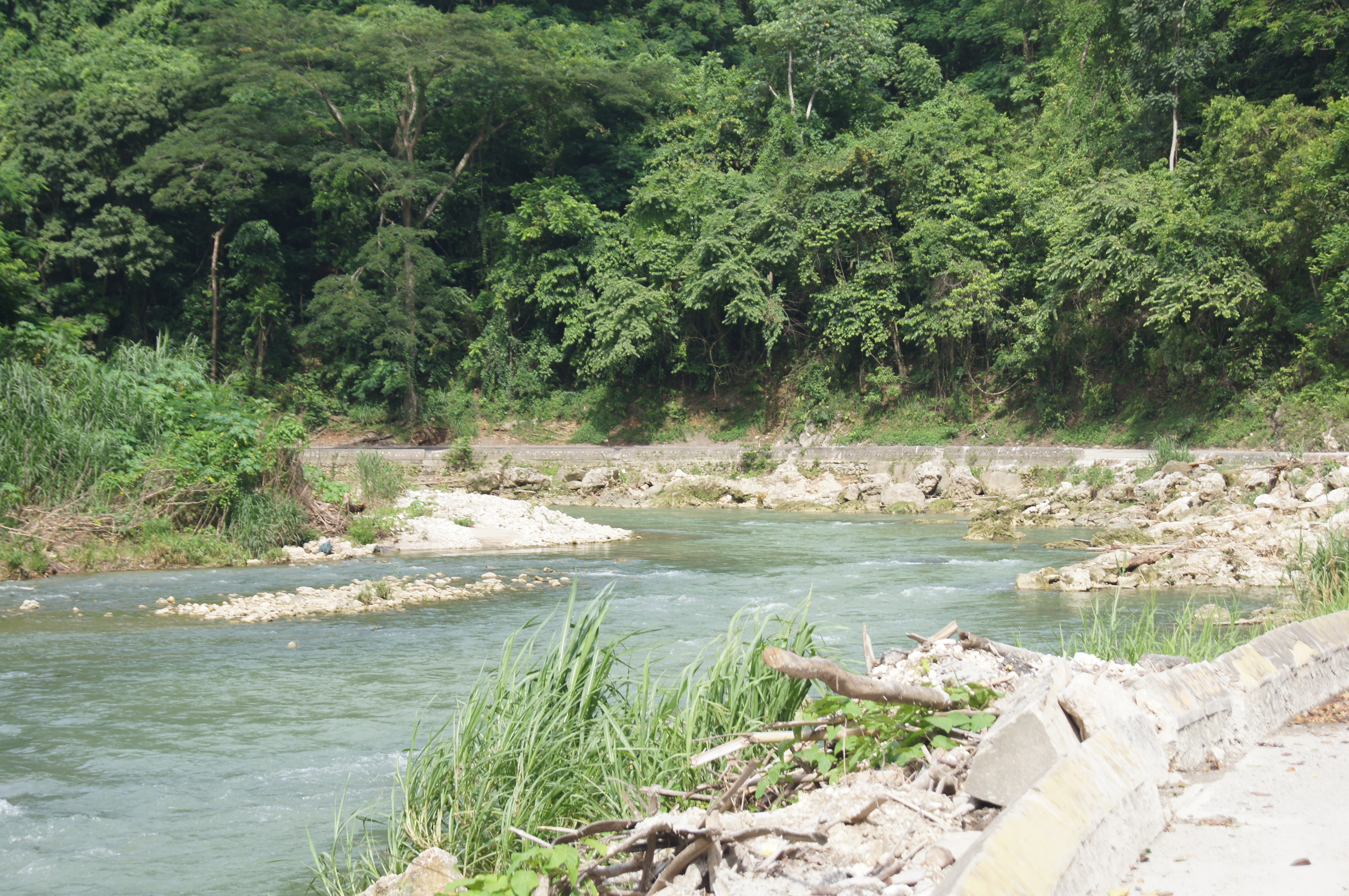
ROCK RIVER CLARENDON
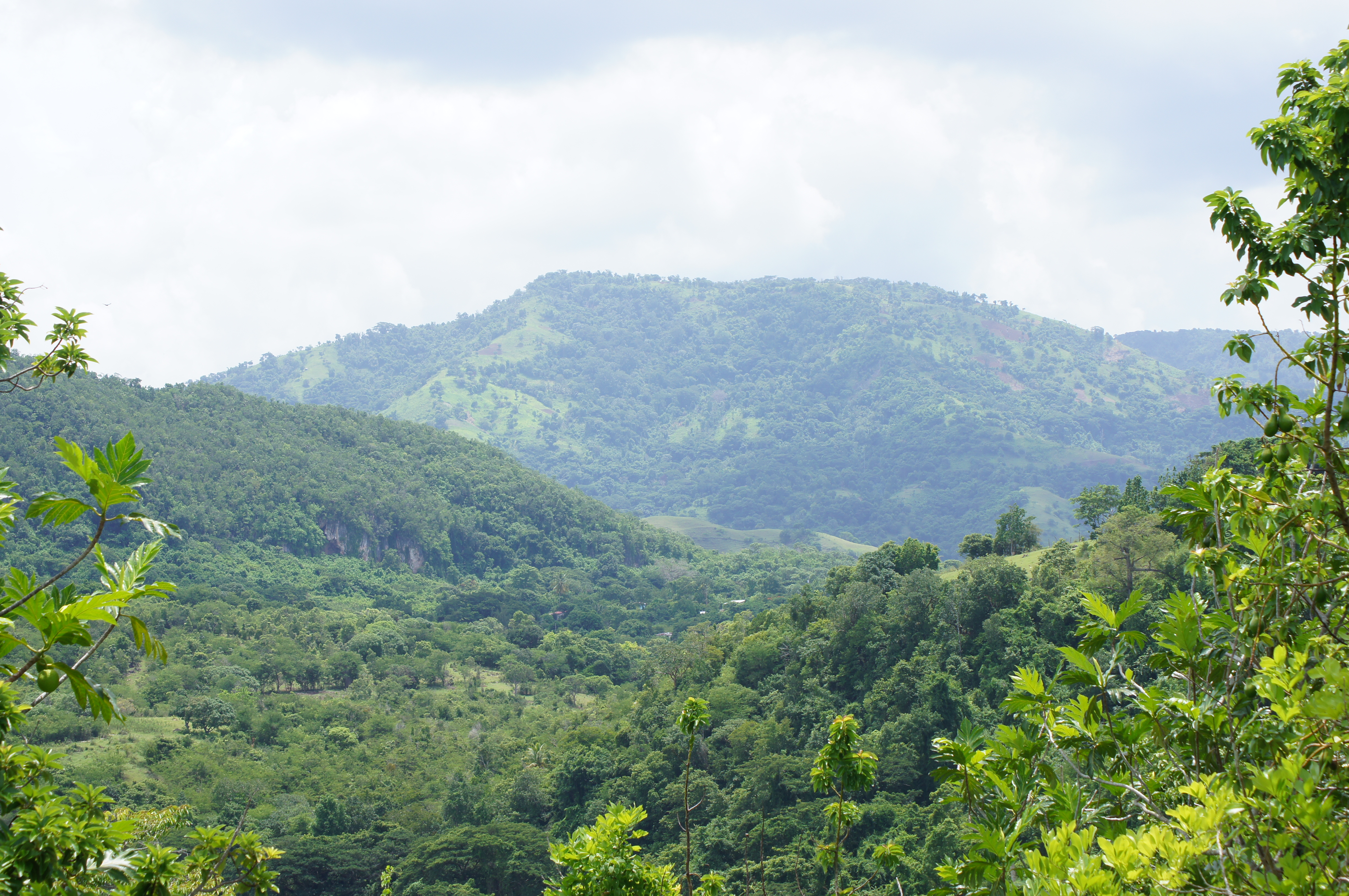
Home Pictures 935
Home Pictures 927

Home Pictures 936
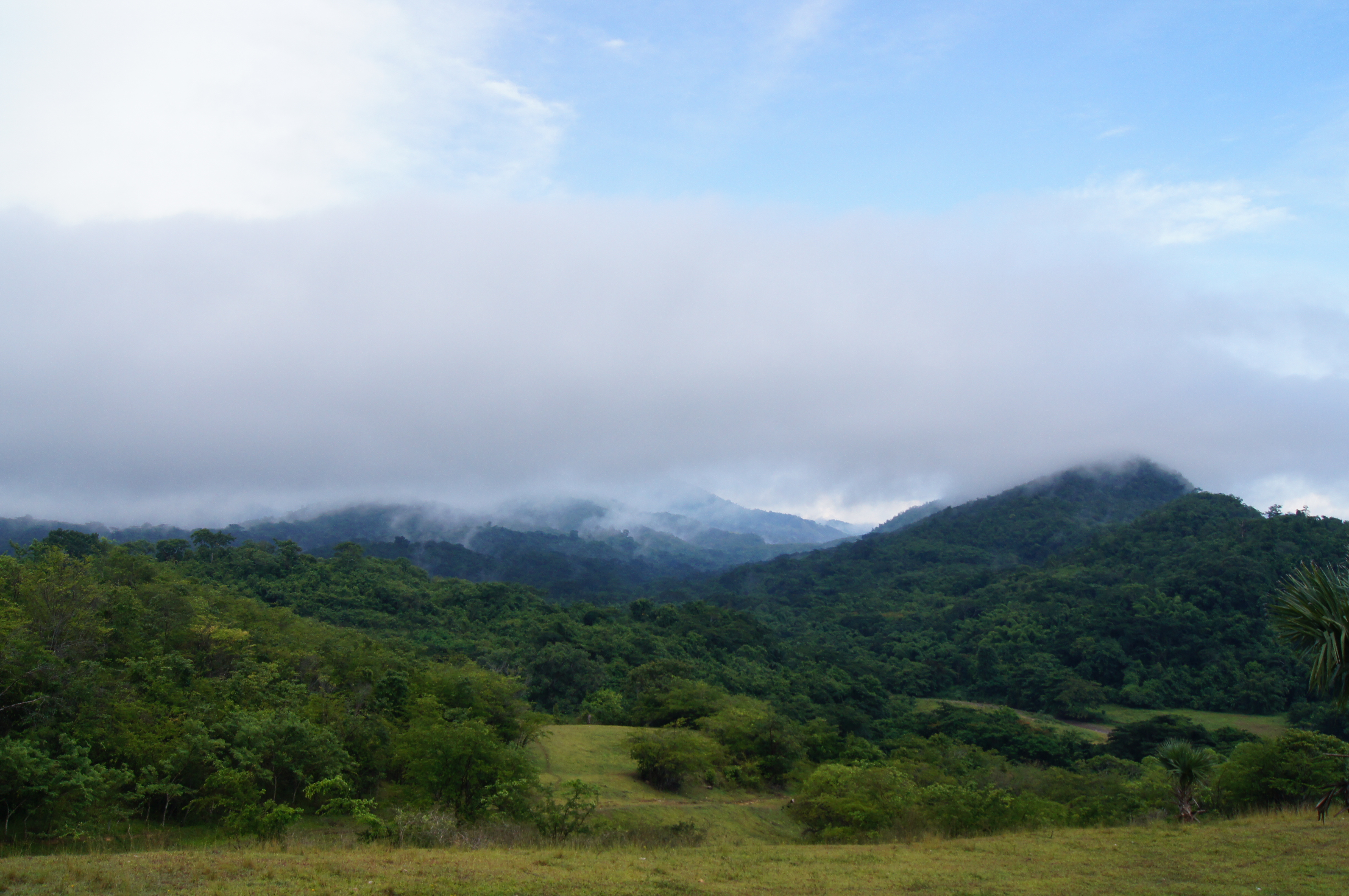
Mining Lakes
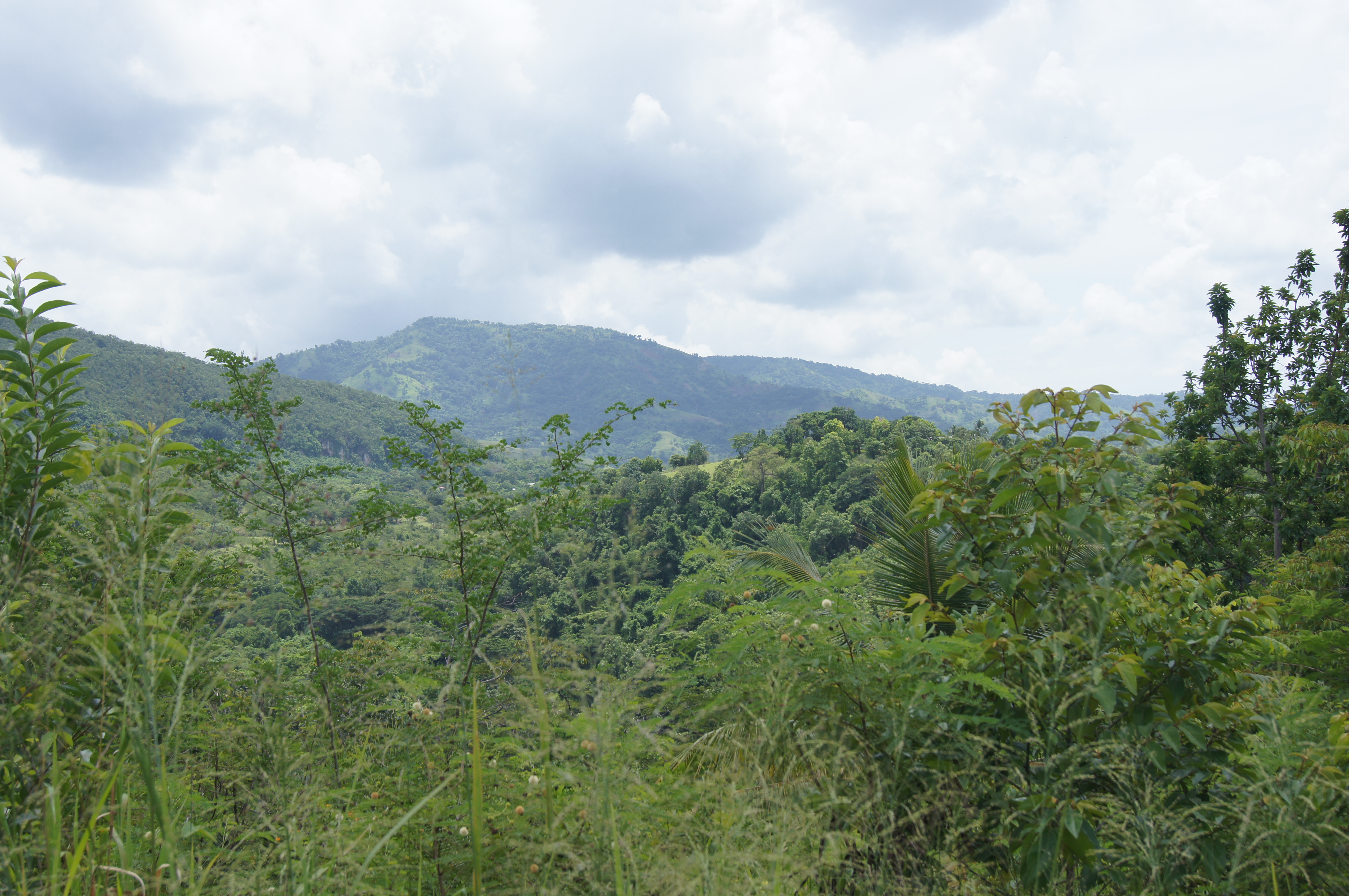
Salt River Surface
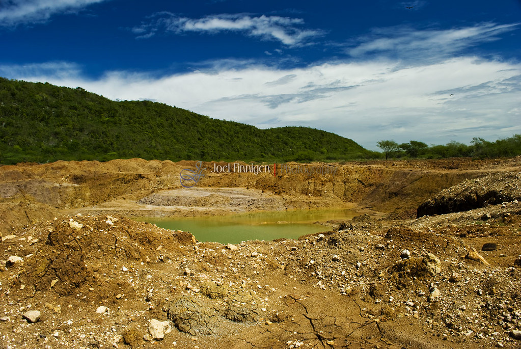
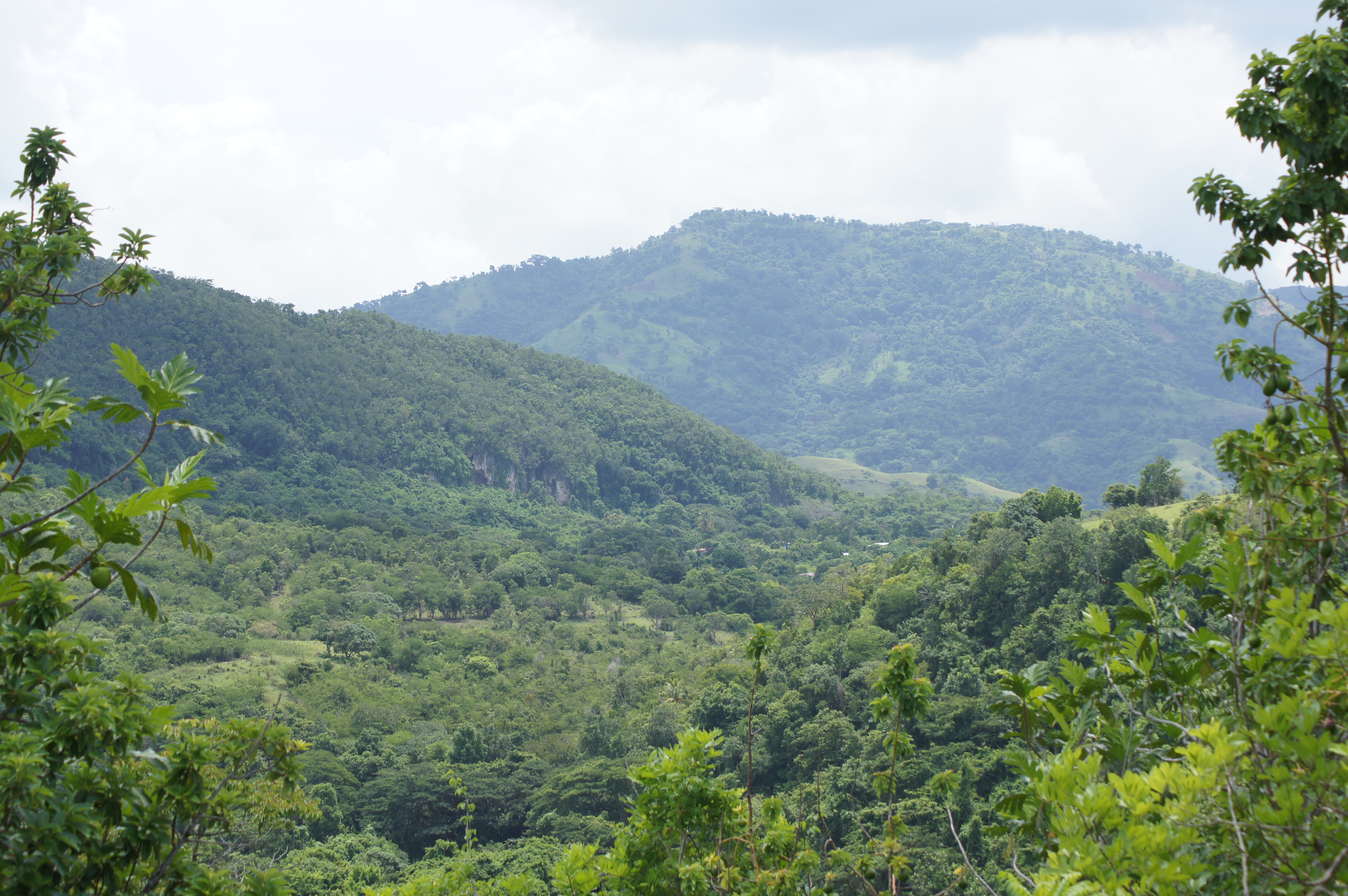
Mining Lakes

Home Pictures 927
Home Pictures 916
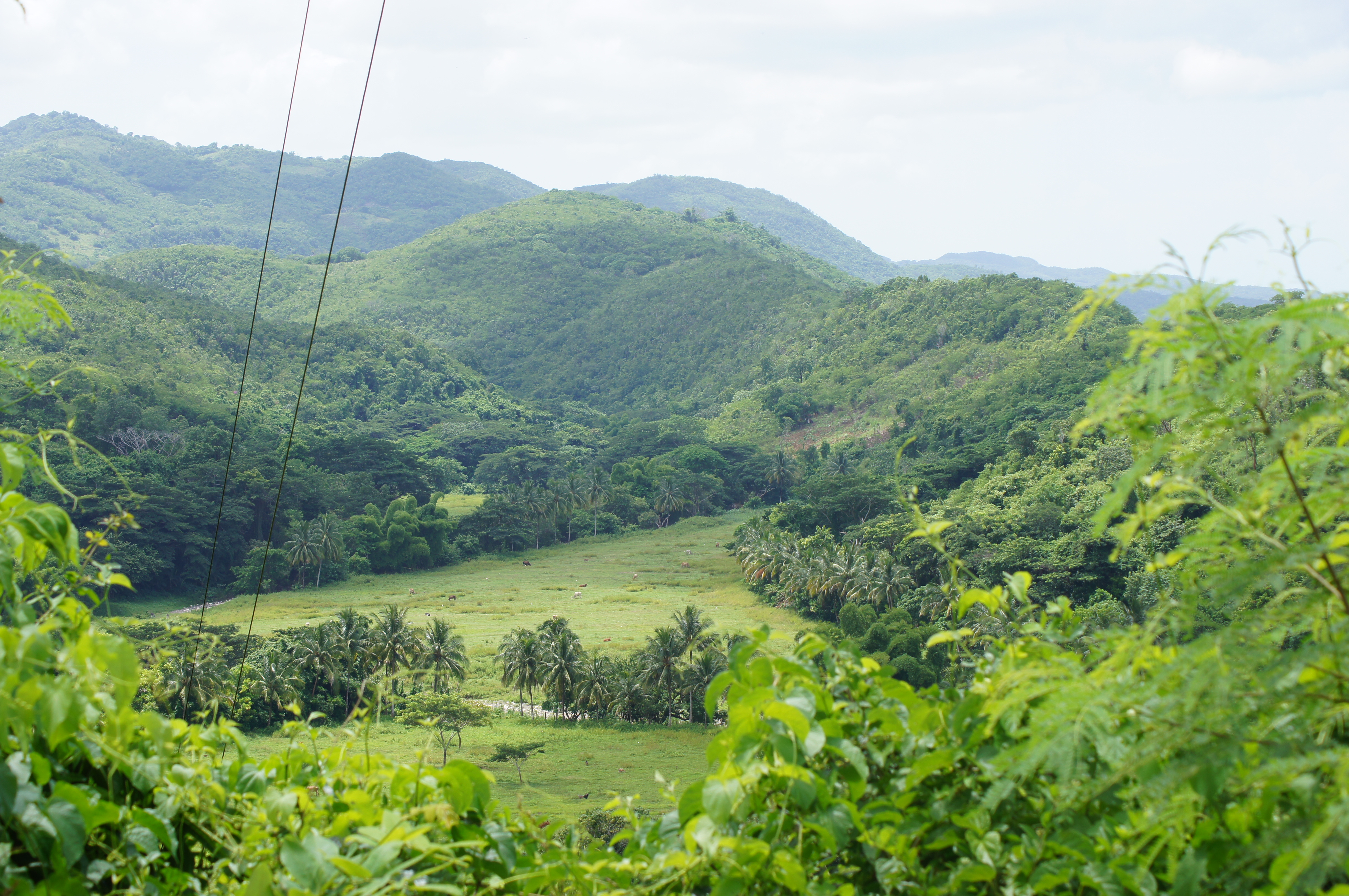
Home Pictures 914
ROCK RIVER CLARENDON

Home Pictures 913
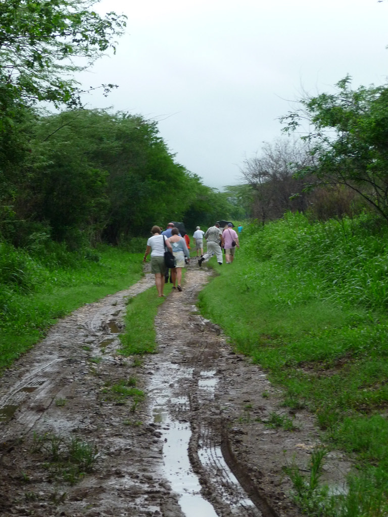
A long slog back to the paved road
ROCK RIVER CLARENDON
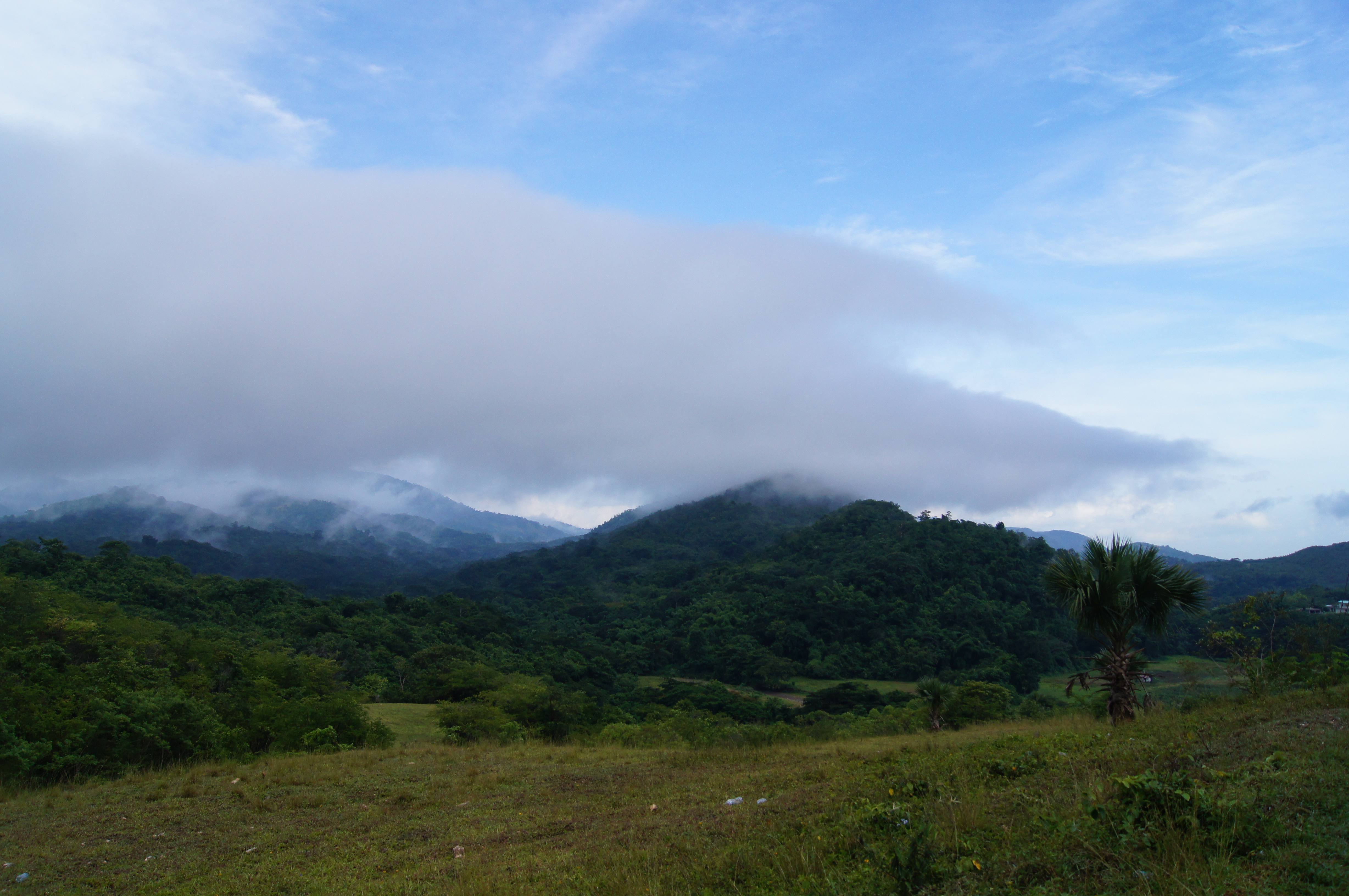
Home Pictures 926
Home Pictures 912

Home Pictures 940
Home Pictures 950
Topographic Map of Clarendon, Jamaica
Find elevation by address:

Places in Clarendon, Jamaica:
Places near Clarendon, Jamaica:
Bushy Park
Four Paths
Moores
Chapelton
Old Harbour
Marlie Drive
Jamaica
Saint Catherine Parish
Great Goat Island
Worthy Park Estate
Mason River Nature Reserve
Fairview Open Bible Church
Ardenne Ave, Spanish Town, Jamaica
Spanish Town
Hampton Green
Brunswick Avenue
Spanish Town Zone
Brunswick Street
Hellshire
North West 26th Way
Recent Searches:
- Elevation of Corso Fratelli Cairoli, 35, Macerata MC, Italy
- Elevation of Tallevast Rd, Sarasota, FL, USA
- Elevation of 4th St E, Sonoma, CA, USA
- Elevation of Black Hollow Rd, Pennsdale, PA, USA
- Elevation of Oakland Ave, Williamsport, PA, USA
- Elevation of Pedrógão Grande, Portugal
- Elevation of Klee Dr, Martinsburg, WV, USA
- Elevation of Via Roma, Pieranica CR, Italy
- Elevation of Tavkvetili Mountain, Georgia
- Elevation of Hartfords Bluff Cir, Mt Pleasant, SC, USA