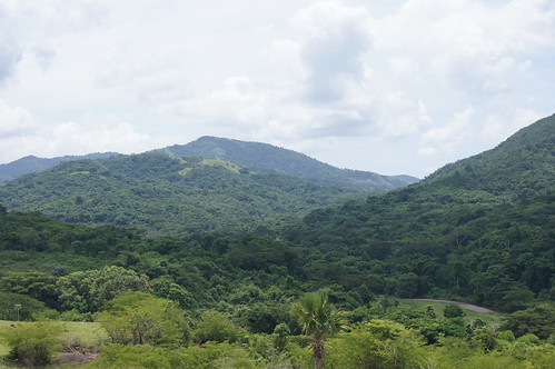
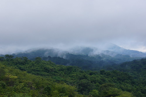
Elevation of Mason River Nature Reserve, Jamaica
Location: Jamaica > Saint Ann Parish >
Longitude: -77.259912
Latitude: 18.199189
Elevation: -10000m / -32808feet
Barometric Pressure: 295KPa
Related Photos:

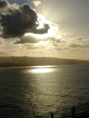
View from the office today! God is good all the time! #weddingday #weddingphotography #sapplesphotography #destinationweddingphotographer #destinationjamaica #lifestylephotography #highup #jamaicanphotographer

#beautiful #beautifulday #travel #jamaica #ocean #sky #boat #blue #gorgeous #driving #inmotion #photography #photographer #ma5tr0 #followme #nofilter #instagood #instamood #instadaily #igers #photogallery #oldpic #gorgeous #instarelax
Topographic Map of Mason River Nature Reserve, Jamaica
Find elevation by address:

Places near Mason River Nature Reserve, Jamaica:
Jamaica
Chapelton
Worthy Park Estate
Moores
Bushy Park
Four Paths
Clarendon
Saint Catherine Parish
Old Harbour
Marlie Drive
Ardenne Ave, Spanish Town, Jamaica
Fairview Open Bible Church
Spanish Town
Troja
Brunswick Avenue
Hampton Green
Spanish Town Zone
Brunswick Street
Highgate
Orange River Research Center
Recent Searches:
- Elevation of Corso Fratelli Cairoli, 35, Macerata MC, Italy
- Elevation of Tallevast Rd, Sarasota, FL, USA
- Elevation of 4th St E, Sonoma, CA, USA
- Elevation of Black Hollow Rd, Pennsdale, PA, USA
- Elevation of Oakland Ave, Williamsport, PA, USA
- Elevation of Pedrógão Grande, Portugal
- Elevation of Klee Dr, Martinsburg, WV, USA
- Elevation of Via Roma, Pieranica CR, Italy
- Elevation of Tavkvetili Mountain, Georgia
- Elevation of Hartfords Bluff Cir, Mt Pleasant, SC, USA

