Elevation of Manchester Parish, Jamaica
Location: Jamaica >
Longitude: -77.516078
Latitude: 18.0669654
Elevation: 639m / 2096feet
Barometric Pressure: 94KPa
Elevation Map:
Satellite Map:
Related Photos:

IMG_1010

IMG_0921

IMG_0968

IMG_0815

IMG_0940

IMG_1011

IMG_0963

IMG_0941

IMG_0931

IMG_0914

IMG_0840
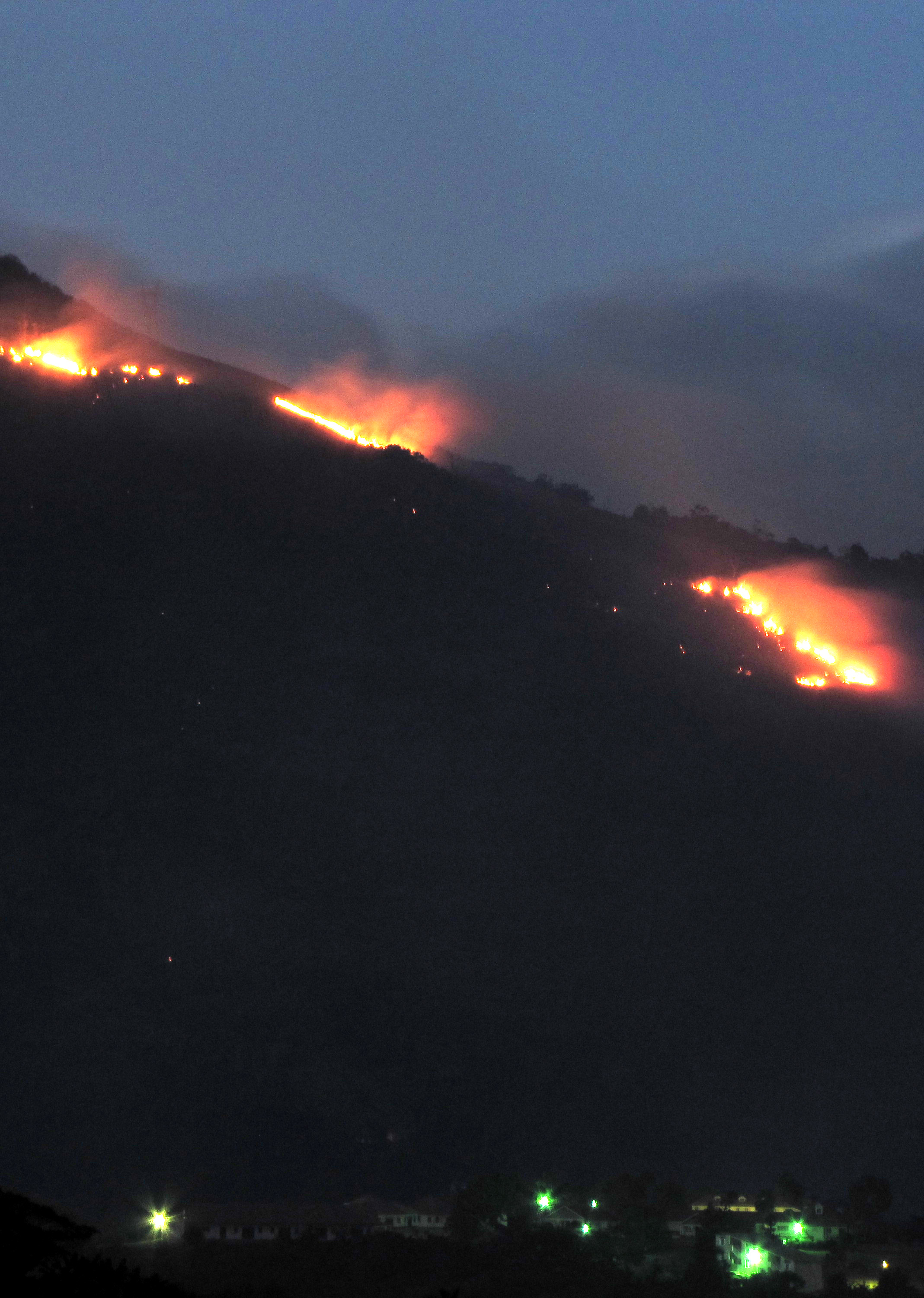
Shooters Fire
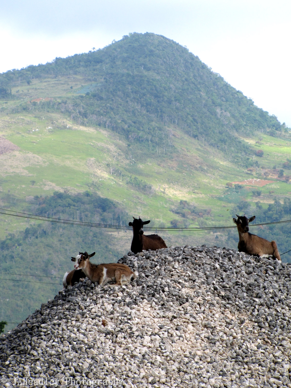
Hill Goats 2
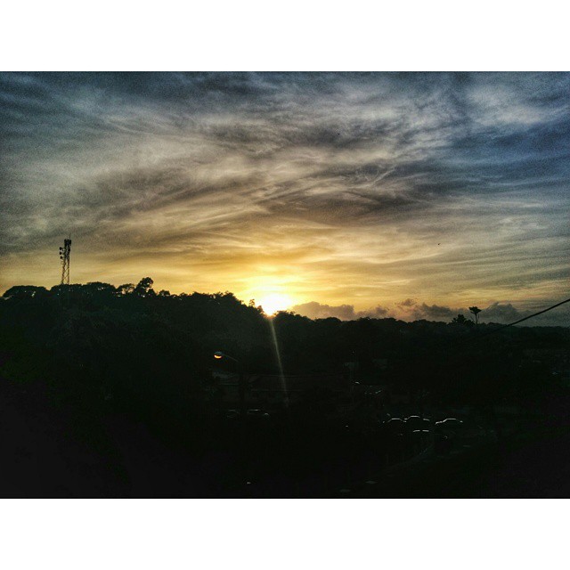
Le sunset in Mandeville #nature #sunset #beauty #timetogohome
Topographic Map of Manchester Parish, Jamaica
Find elevation by address:

Places in Manchester Parish, Jamaica:
Mandeville
Newport
Christiana
Spur Tree
Troy
Porus
Heartease
Royal Flat
Saint Jago
Knockpatrick
Devon
Places near Manchester Parish, Jamaica:
Battersea Road
Kendal Police Station
Mandeville
Heartease
Waltham Road & Rockton Drive
Waltham Road & Rockton Drive
Royal Flat
Knockpatrick
Moorlands Camps
Total Spur Tree
Maidstone Branch Library
Spur Tree
Adam's Valley Farm
Devon
Spalding
Christiana
Porus
Blenheim Town Road
Newport
Coleyville Seventh-day Adventist Church
Recent Searches:
- Elevation of Corso Fratelli Cairoli, 35, Macerata MC, Italy
- Elevation of Tallevast Rd, Sarasota, FL, USA
- Elevation of 4th St E, Sonoma, CA, USA
- Elevation of Black Hollow Rd, Pennsdale, PA, USA
- Elevation of Oakland Ave, Williamsport, PA, USA
- Elevation of Pedrógão Grande, Portugal
- Elevation of Klee Dr, Martinsburg, WV, USA
- Elevation of Via Roma, Pieranica CR, Italy
- Elevation of Tavkvetili Mountain, Georgia
- Elevation of Hartfords Bluff Cir, Mt Pleasant, SC, USA