Elevation of Spur Tree, Jamaica
Location: Jamaica > Manchester Parish >
Longitude: -77.560509
Latitude: 17.9956245
Elevation: 736m / 2415feet
Barometric Pressure: 93KPa
Elevation Map:
Satellite Map:
Related Photos:

IMG_1010

IMG_0963

IMG_1011

IMG_0968

IMG_0931

IMG_0840

IMG_0914

IMG_0815

IMG_0940

Happy ...
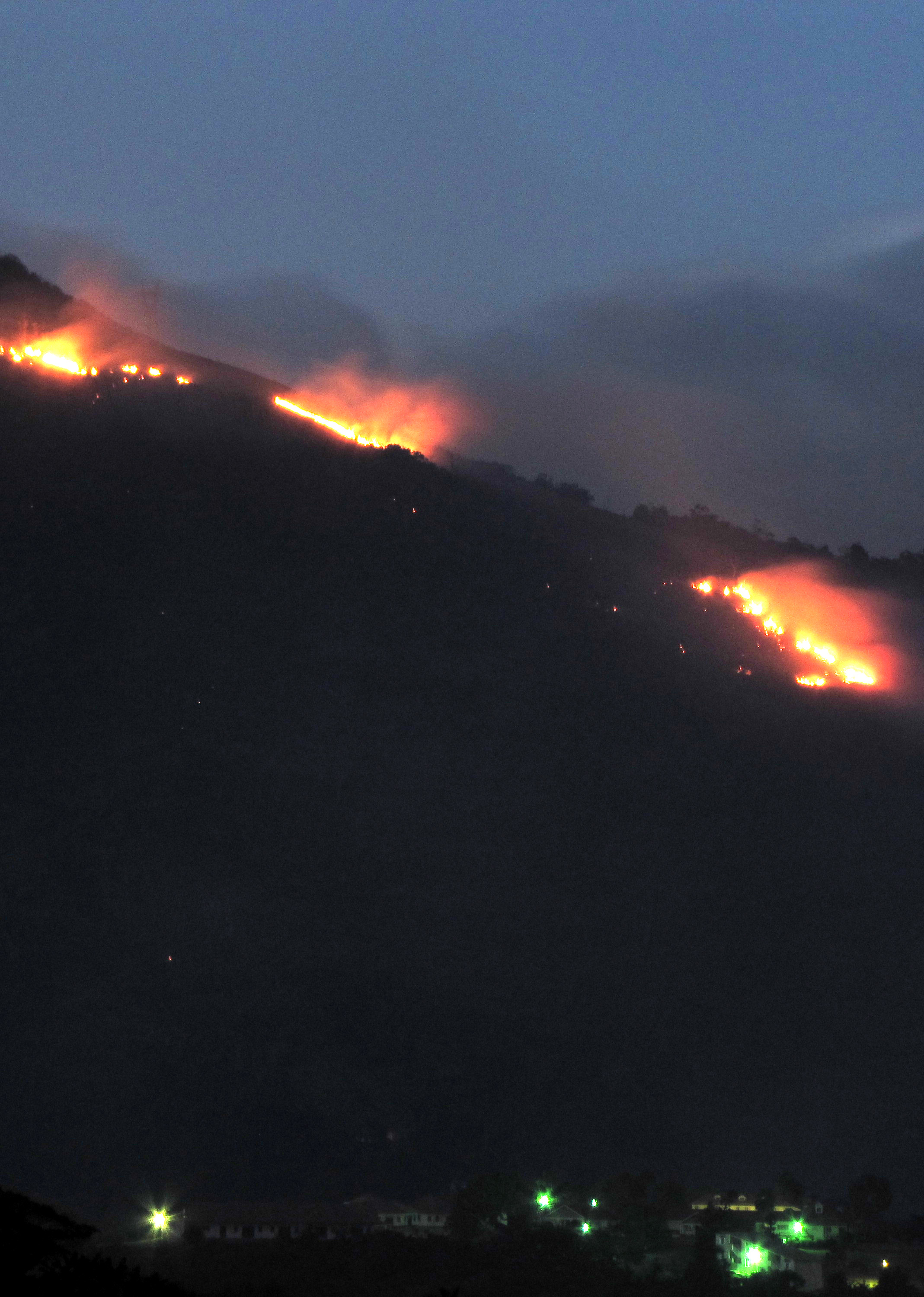
Shooters Fire

Fishing Beach, Alligator Pond

Little Oche storm with Bauxite terminal in background
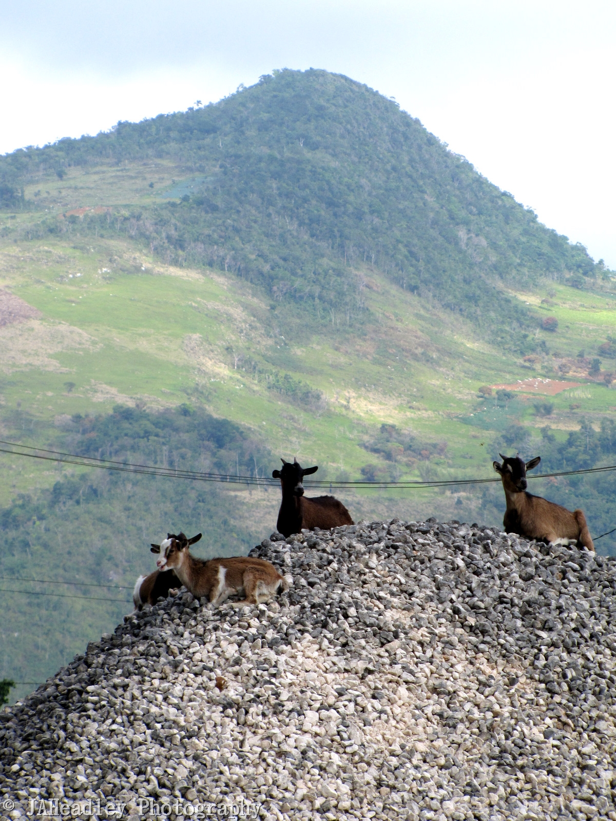
Hill Goats 2
Topographic Map of Spur Tree, Jamaica
Find elevation by address:

Places near Spur Tree, Jamaica:
Total Spur Tree
Moorlands Camps
Knockpatrick
Waltham Road & Rockton Drive
Waltham Road & Rockton Drive
Mandeville
Newport
Battersea Road
Manchester Parish
Blenheim Town Road
Heartease
Royal Flat
Kendal Police Station
Maidstone Branch Library
Adam's Valley Farm
Marlie Hill Primary School
Malvern
Bethlehem Moravian College
Munro College
Santa Cruz
Recent Searches:
- Elevation of Corso Fratelli Cairoli, 35, Macerata MC, Italy
- Elevation of Tallevast Rd, Sarasota, FL, USA
- Elevation of 4th St E, Sonoma, CA, USA
- Elevation of Black Hollow Rd, Pennsdale, PA, USA
- Elevation of Oakland Ave, Williamsport, PA, USA
- Elevation of Pedrógão Grande, Portugal
- Elevation of Klee Dr, Martinsburg, WV, USA
- Elevation of Via Roma, Pieranica CR, Italy
- Elevation of Tavkvetili Mountain, Georgia
- Elevation of Hartfords Bluff Cir, Mt Pleasant, SC, USA