Elevation of Ivanhoe, KS, USA
| Latitude | 37.7880365 |
|---|---|
| Longitude | -100.9128995 |
| Elevation | 885m / 2904feet |
| Barometric Pressure | 911KPa |
Related Photos:
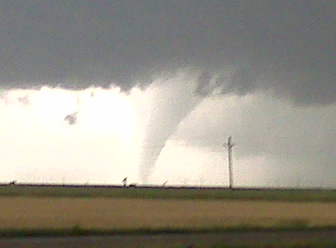
2011-10-08_7462
Kansas Pheasant Hunt 2013.10.00
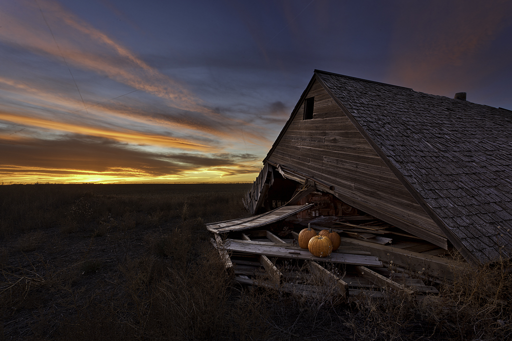
Happy Halloween
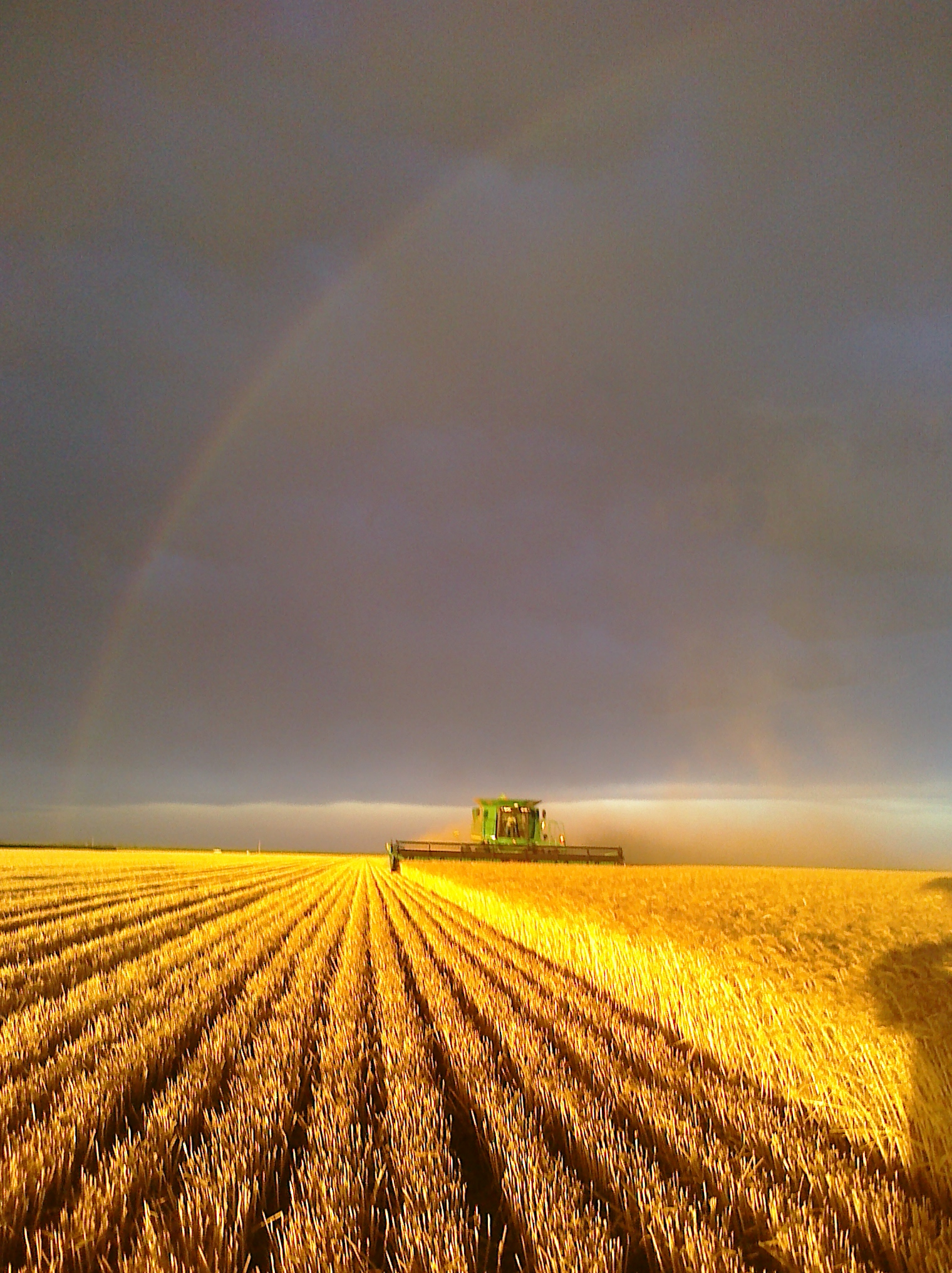
Harvest Rainbow
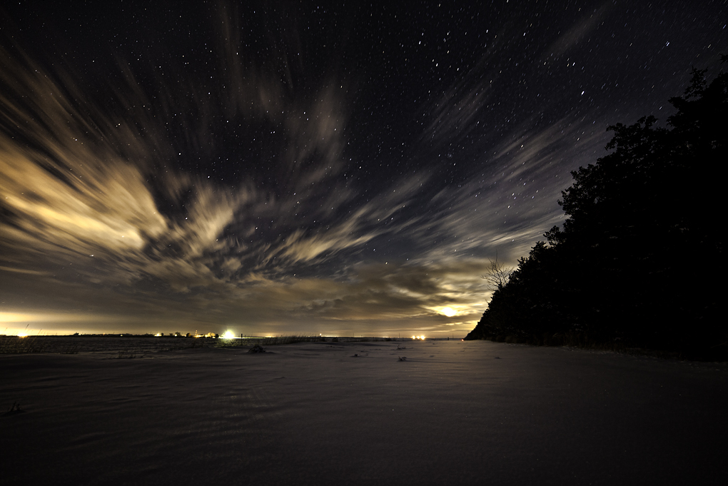
Cirrus Streaks
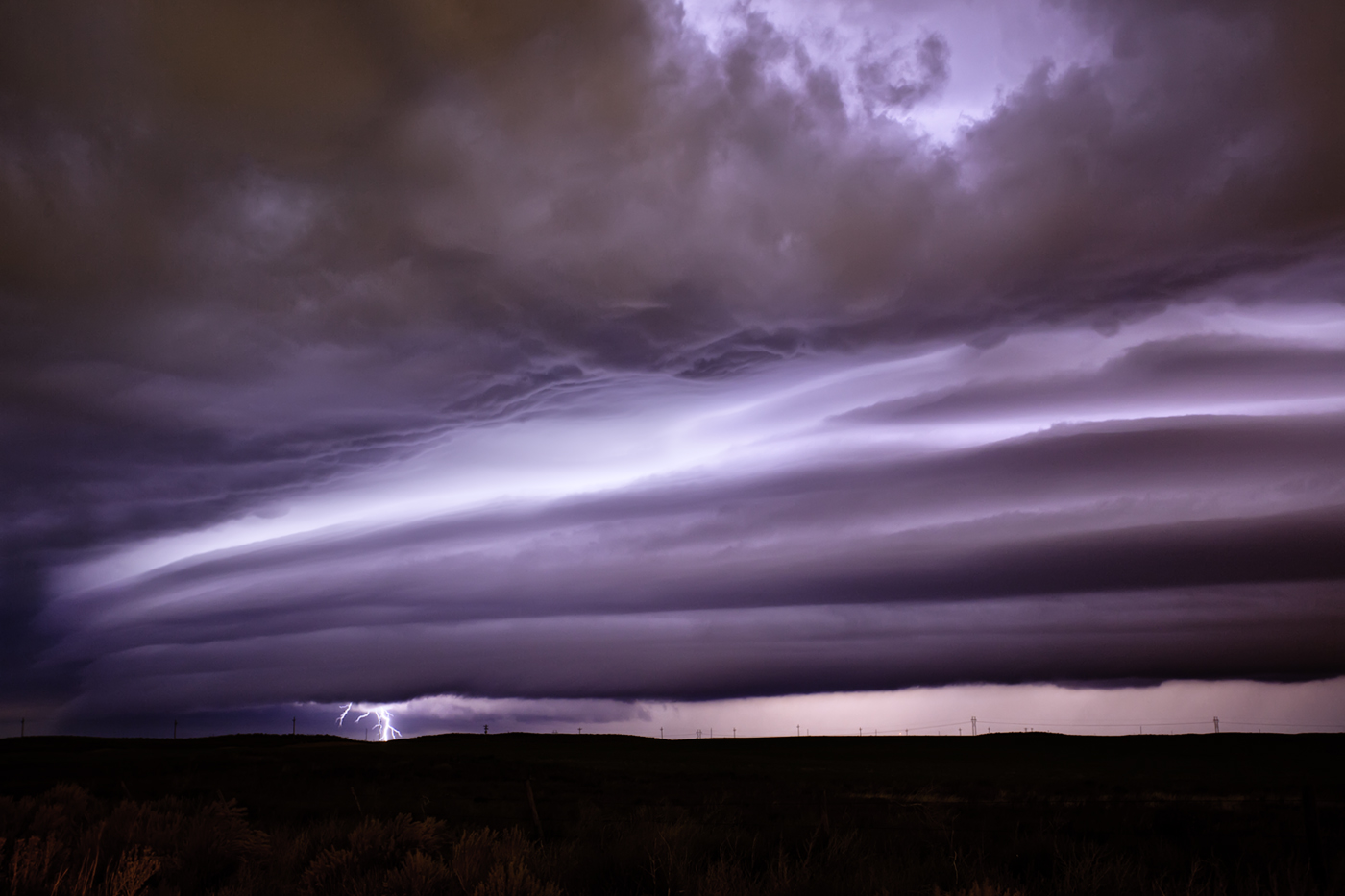
Bolt and Bow
2011-10-08_7473
2011-10-08_7453
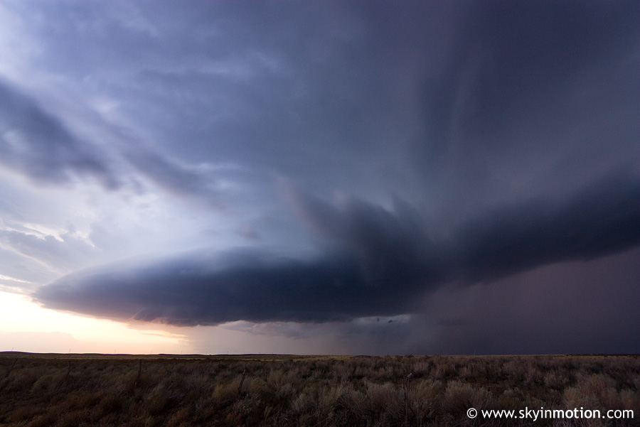
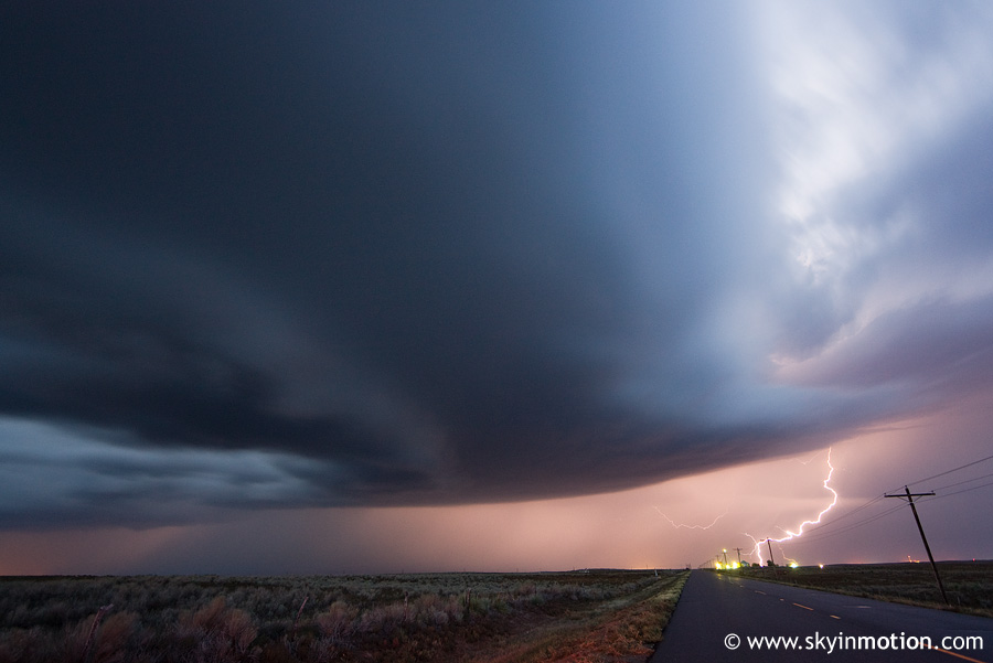
US 83 and CR 70 south of Garden City KS, looking east
Topographic Map of Ivanhoe, KS, USA
Find elevation by address:
Places in Ivanhoe, KS, USA:
Places near Ivanhoe, KS, USA:
55 E Plymell Rd, Garden City, KS, USA
2295 S Old Hwy 83
Sherlock
Dudley
Pierceville
Haskell County
Pierceville
S Spruce St, Pierceville, KS, USA
Haskell
S Inman St, Sublette, KS, USA
Sublette
Satanta
Arapahoe Ave, Satanta, KS, USA
Seward
Gray County
Montezuma
S Aztec St, Montezuma, KS, USA
U.s. 160
Cimarron
S Main St, Cimarron, KS, USA
Recent Searches:
- Elevation map of Central Hungary, Hungary
- Elevation map of Pest, Central Hungary, Hungary
- Elevation of Pilisszentkereszt, Pest, Central Hungary, Hungary
- Elevation of Dharamkot Tahsil, Punjab, India
- Elevation of Bhinder Khurd, Dharamkot Tahsil, Punjab, India
- Elevation of 2881, Chabot Drive, San Bruno, San Mateo County, California, 94066, USA
- Elevation of 10370, West 107th Circle, Westminster, Jefferson County, Colorado, 80021, USA
- Elevation of 611, Roman Road, Old Ford, Bow, London, England, E3 2RW, United Kingdom
- Elevation of 116, Beartown Road, Underhill, Chittenden County, Vermont, 05489, USA
- Elevation of Window Rock, Colfax County, New Mexico, 87714, USA
- Elevation of 4807, Rosecroft Street, Kempsville Gardens, Virginia Beach, Virginia, 23464, USA
- Elevation map of Matawinie, Quebec, Canada
- Elevation of Sainte-Émélie-de-l'Énergie, Matawinie, Quebec, Canada
- Elevation of Rue du Pont, Sainte-Émélie-de-l'Énergie, Matawinie, Quebec, J0K2K0, Canada
- Elevation of 8, Rue de Bécancour, Blainville, Thérèse-De Blainville, Quebec, J7B1N2, Canada
- Elevation of Wilmot Court North, 163, University Avenue West, Northdale, Waterloo, Region of Waterloo, Ontario, N2L6B6, Canada
- Elevation map of Panamá Province, Panama
- Elevation of Balboa, Panamá Province, Panama
- Elevation of San Miguel, Balboa, Panamá Province, Panama
- Elevation of Isla Gibraleón, San Miguel, Balboa, Panamá Province, Panama