Elevation of S Aztec St, Montezuma, KS, USA
Location: United States > Kansas > Gray County > Montezuma > Montezuma >
Longitude: -100.4425931
Latitude: 37.5955033
Elevation: 846m / 2776feet
Barometric Pressure: 0KPa
Related Photos:

SW B39-8E-8501 CVR GP30-3014, 3024 E/B at Montezuma, KS.
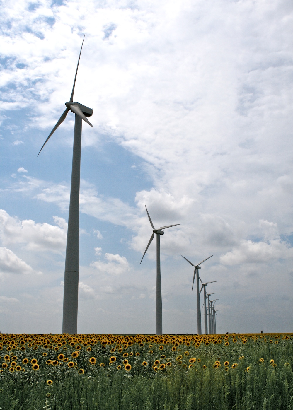
wind.
Powerful Forces
i want to put some of these in my backyard.
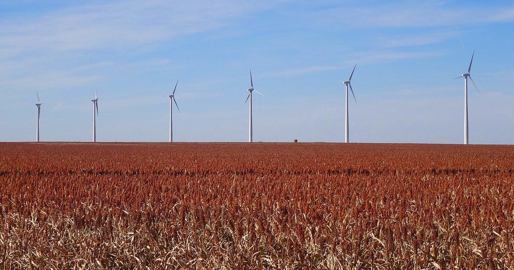
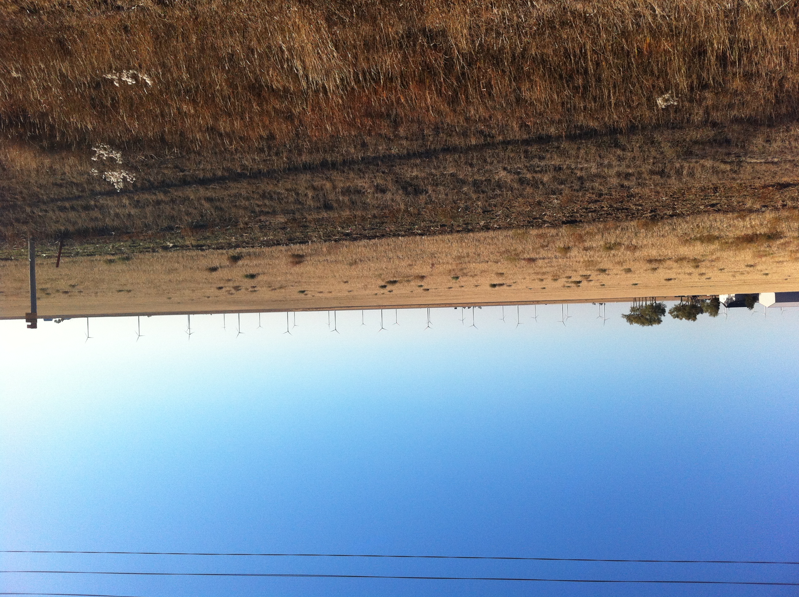
Grain Sorghum (Milo) field near Montezuma, KS along the Cimarron Valley RR
wind (turbines)
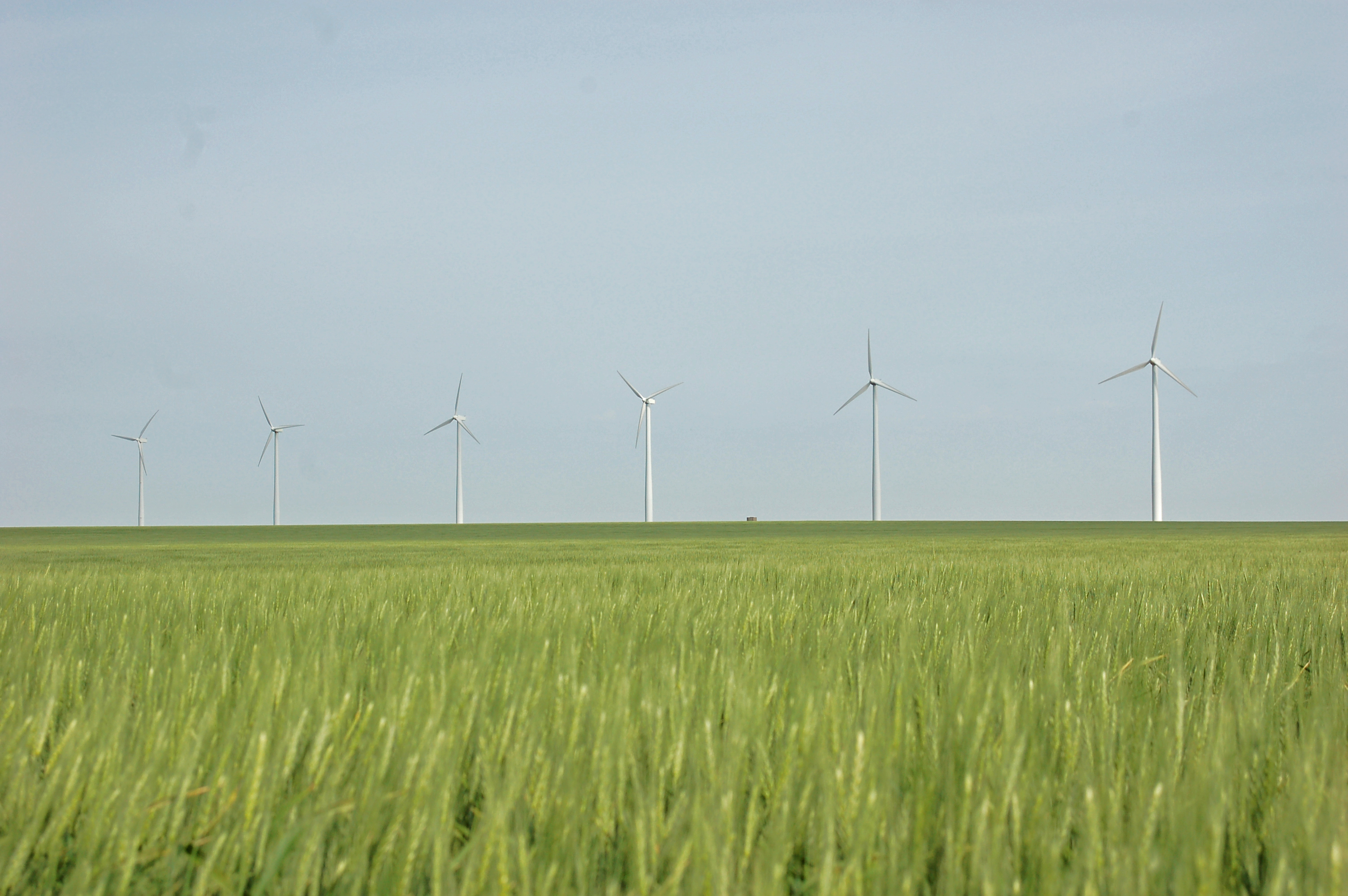
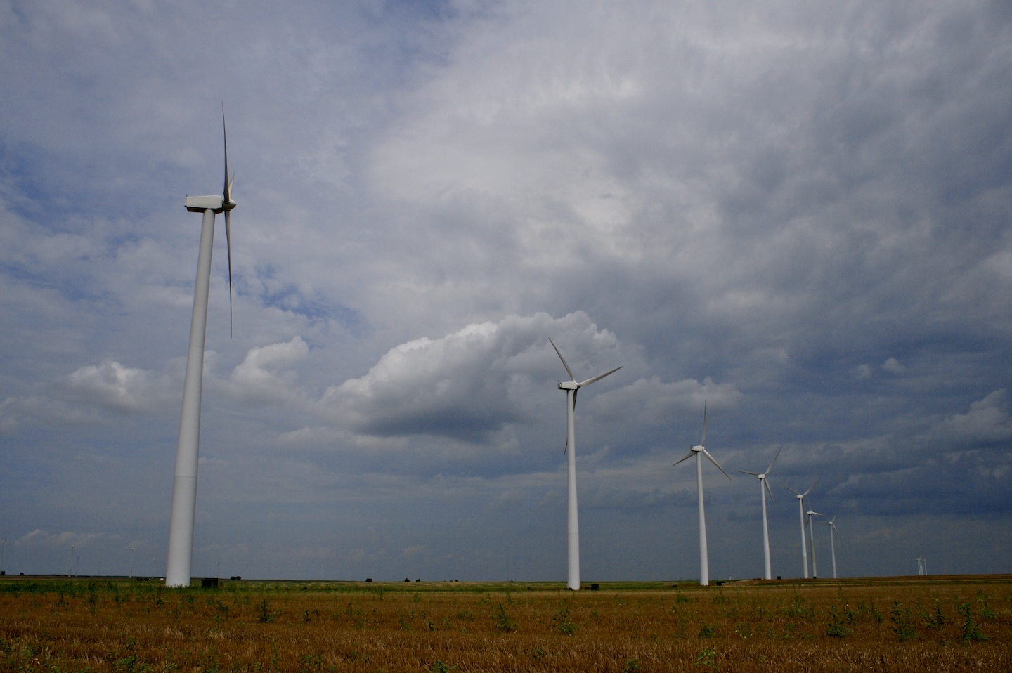
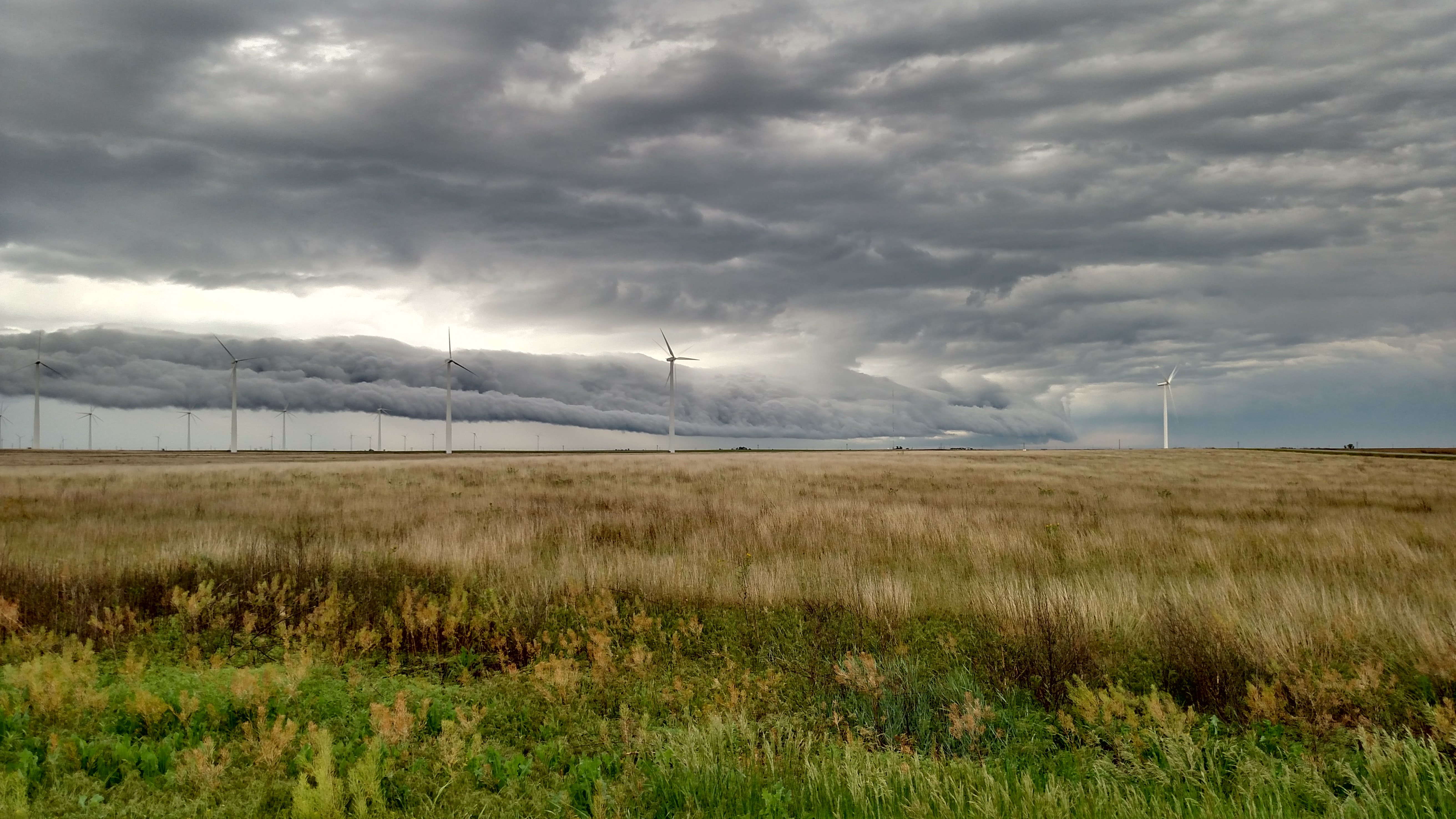
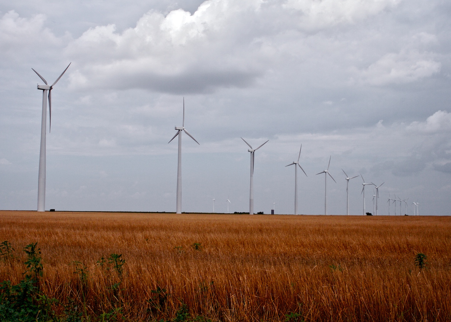
Montezuma Wind Farm
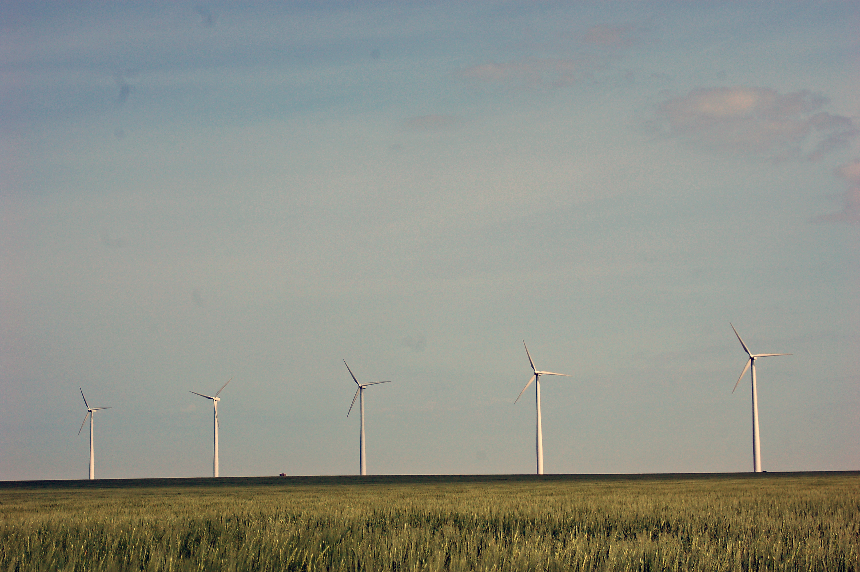
Montezuma Wind Farm
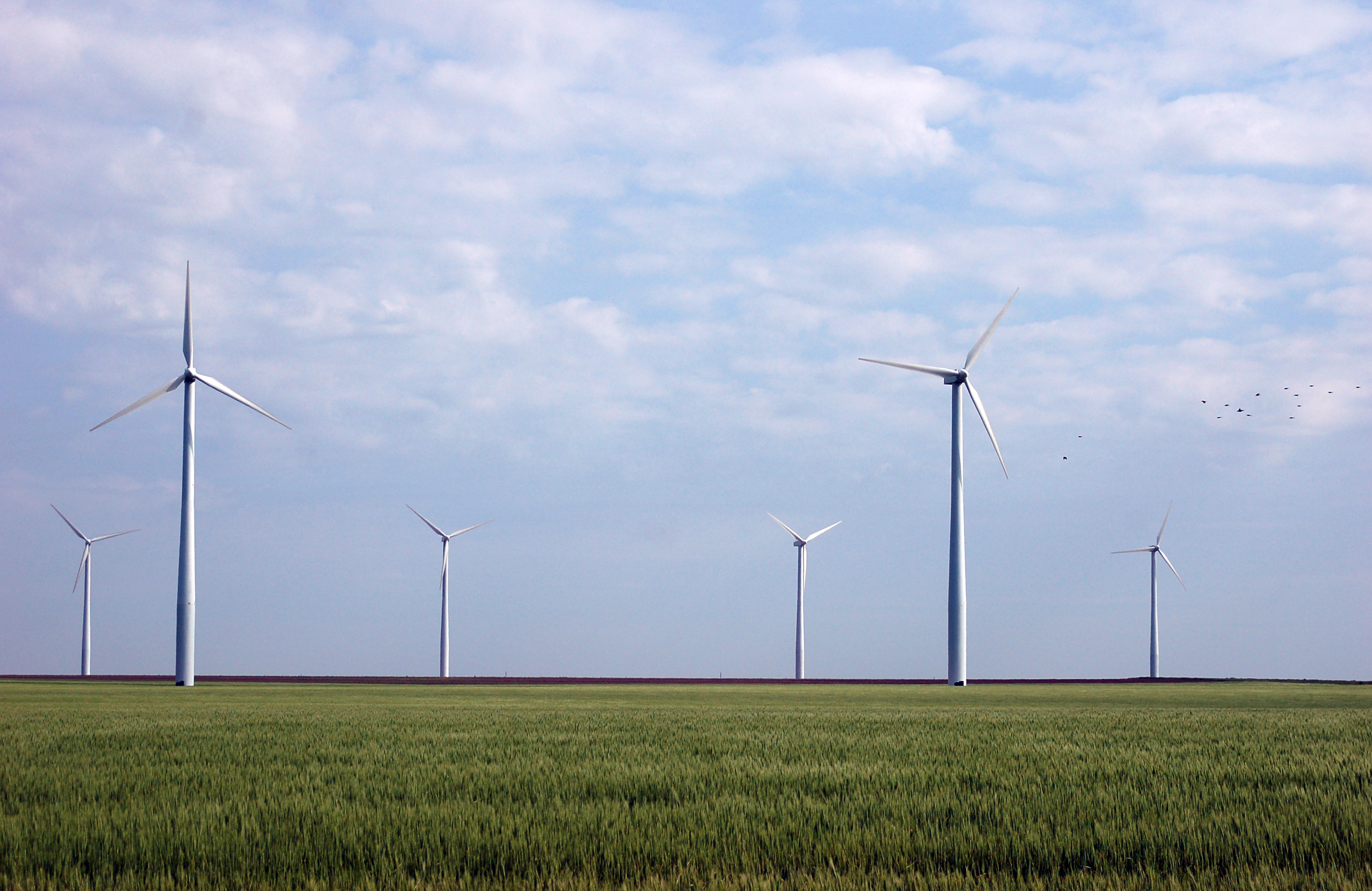
Montezuma Wind Farm
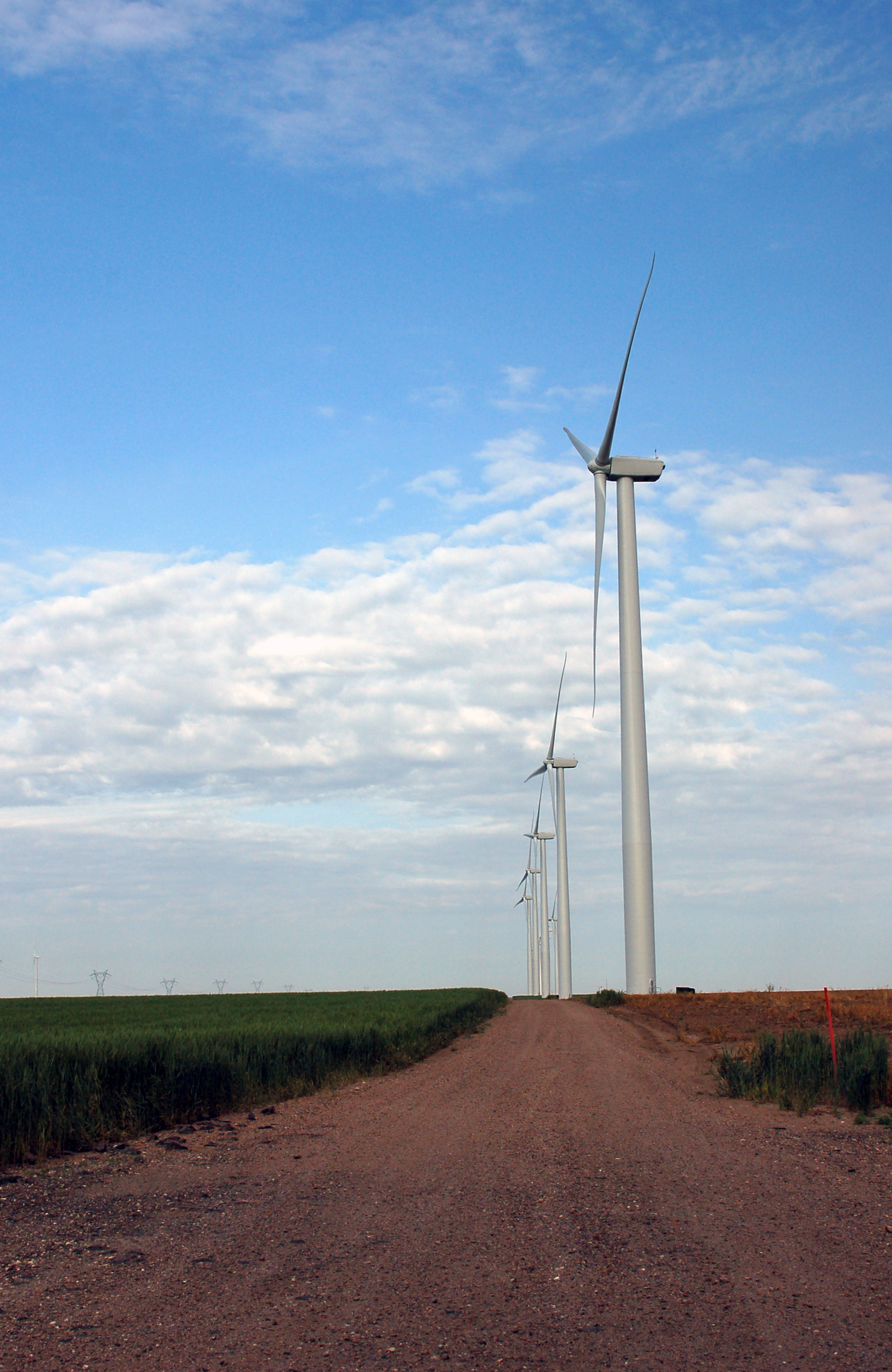
Montezuma Wind Farm
Whoosh!
Topographic Map of S Aztec St, Montezuma, KS, USA
Find elevation by address:

Places near S Aztec St, Montezuma, KS, USA:
Montezuma
Montezuma
Gray County
Cimarron
S Main St, Cimarron, KS, USA
Cimarron
Meade
E Carthage St, Meade, KS, USA
Meade County
Meade Center
S Spruce St, Pierceville, KS, USA
Pierceville
Haskell
S Inman St, Sublette, KS, USA
Sublette
Pierceville
Haskell County
E Wyatt Earp Blvd, Dodge City, KS, USA
Dodge City
1427 Roosevelt Ave
Recent Searches:
- Elevation of 2881, Chabot Drive, San Bruno, San Mateo County, California, 94066, USA
- Elevation of 10370, West 107th Circle, Westminster, Jefferson County, Colorado, 80021, USA
- Elevation of 611, Roman Road, Old Ford, Bow, London, England, E3 2RW, United Kingdom
- Elevation of 116, Beartown Road, Underhill, Chittenden County, Vermont, 05489, USA
- Elevation of Window Rock, Colfax County, New Mexico, 87714, USA
- Elevation of 4807, Rosecroft Street, Kempsville Gardens, Virginia Beach, Virginia, 23464, USA
- Elevation map of Matawinie, Quebec, Canada
- Elevation of Sainte-Émélie-de-l'Énergie, Matawinie, Quebec, Canada
- Elevation of Rue du Pont, Sainte-Émélie-de-l'Énergie, Matawinie, Quebec, J0K2K0, Canada
- Elevation of 8, Rue de Bécancour, Blainville, Thérèse-De Blainville, Quebec, J7B1N2, Canada
- Elevation of Wilmot Court North, 163, University Avenue West, Northdale, Waterloo, Region of Waterloo, Ontario, N2L6B6, Canada
- Elevation map of Panamá Province, Panama
- Elevation of Balboa, Panamá Province, Panama
- Elevation of San Miguel, Balboa, Panamá Province, Panama
- Elevation of Isla Gibraleón, San Miguel, Balboa, Panamá Province, Panama
- Elevation of 4655, Krischke Road, Schulenburg, Fayette County, Texas, 78956, USA
- Elevation of Carnegie Avenue, Downtown Cleveland, Cleveland, Cuyahoga County, Ohio, 44115, USA
- Elevation of Walhonding, Coshocton County, Ohio, USA
- Elevation of Clifton Down, Clifton, Bristol, City of Bristol, England, BS8 3HU, United Kingdom
- Elevation map of Auvergne-Rhône-Alpes, France