Elevation of HP Raglan Range, Marlborough, New Zealand
Location: New Zealand > Marlborough > Marlborough District > Awatere Valley >
Longitude: 173.0341666
Latitude: -41.9866666
Elevation: 1839m / 6033feet
Barometric Pressure: 0KPa
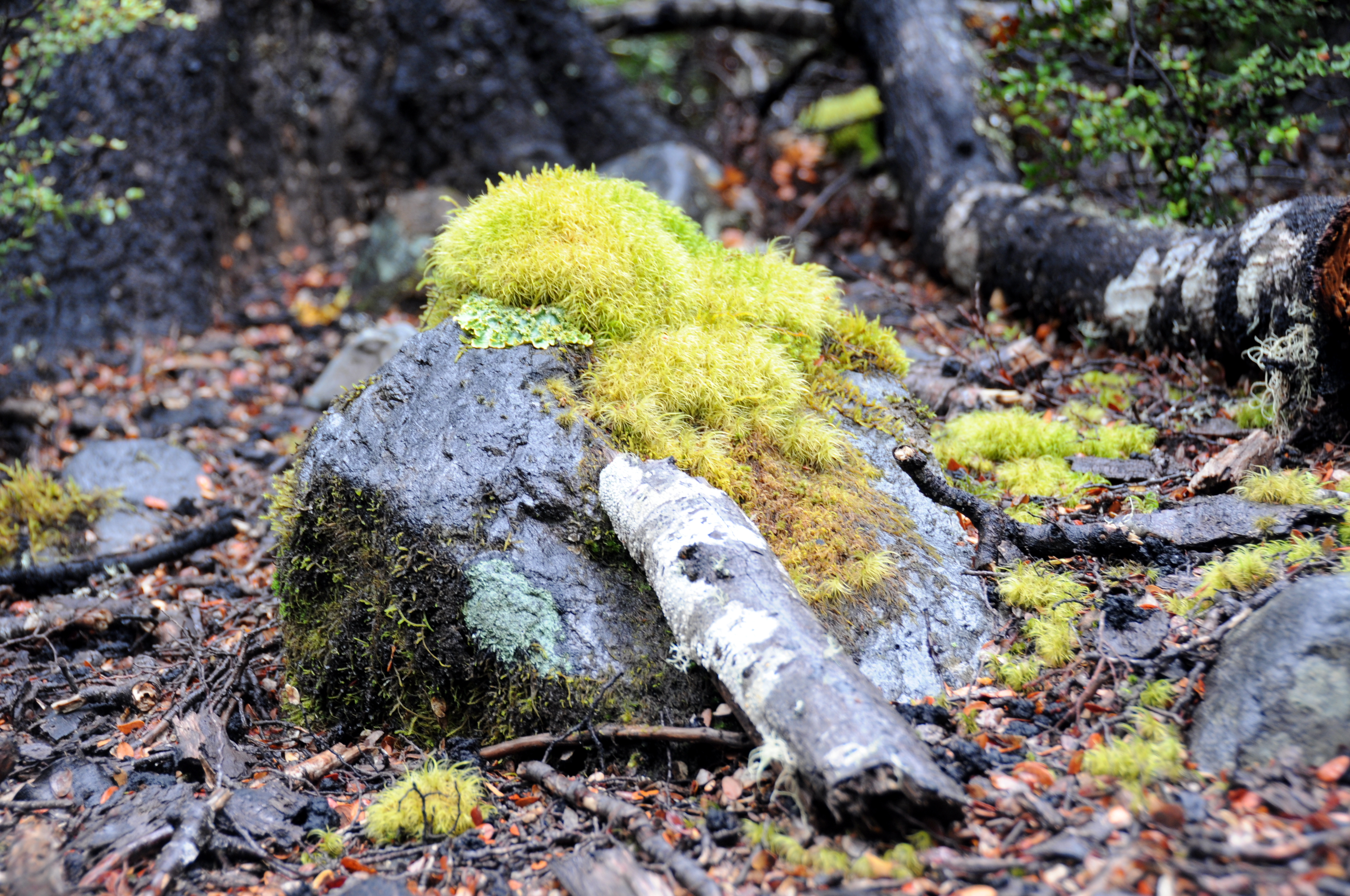
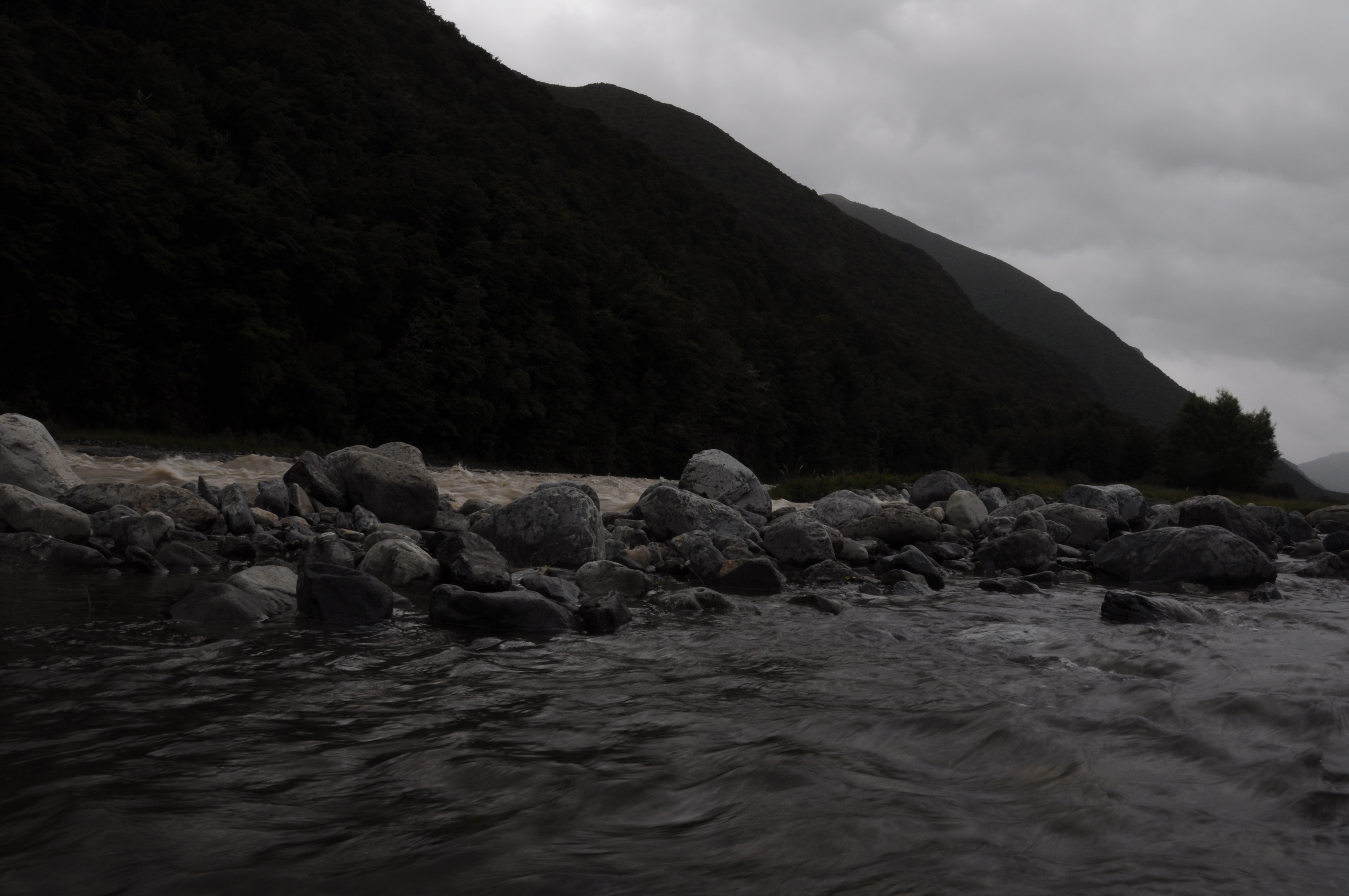
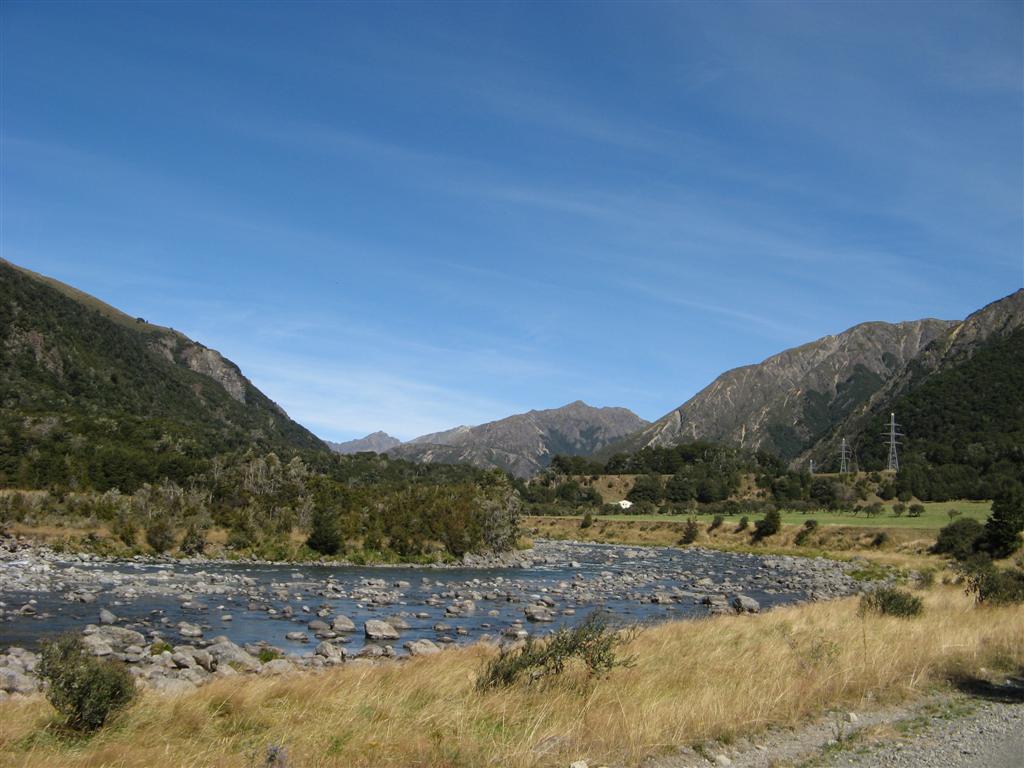
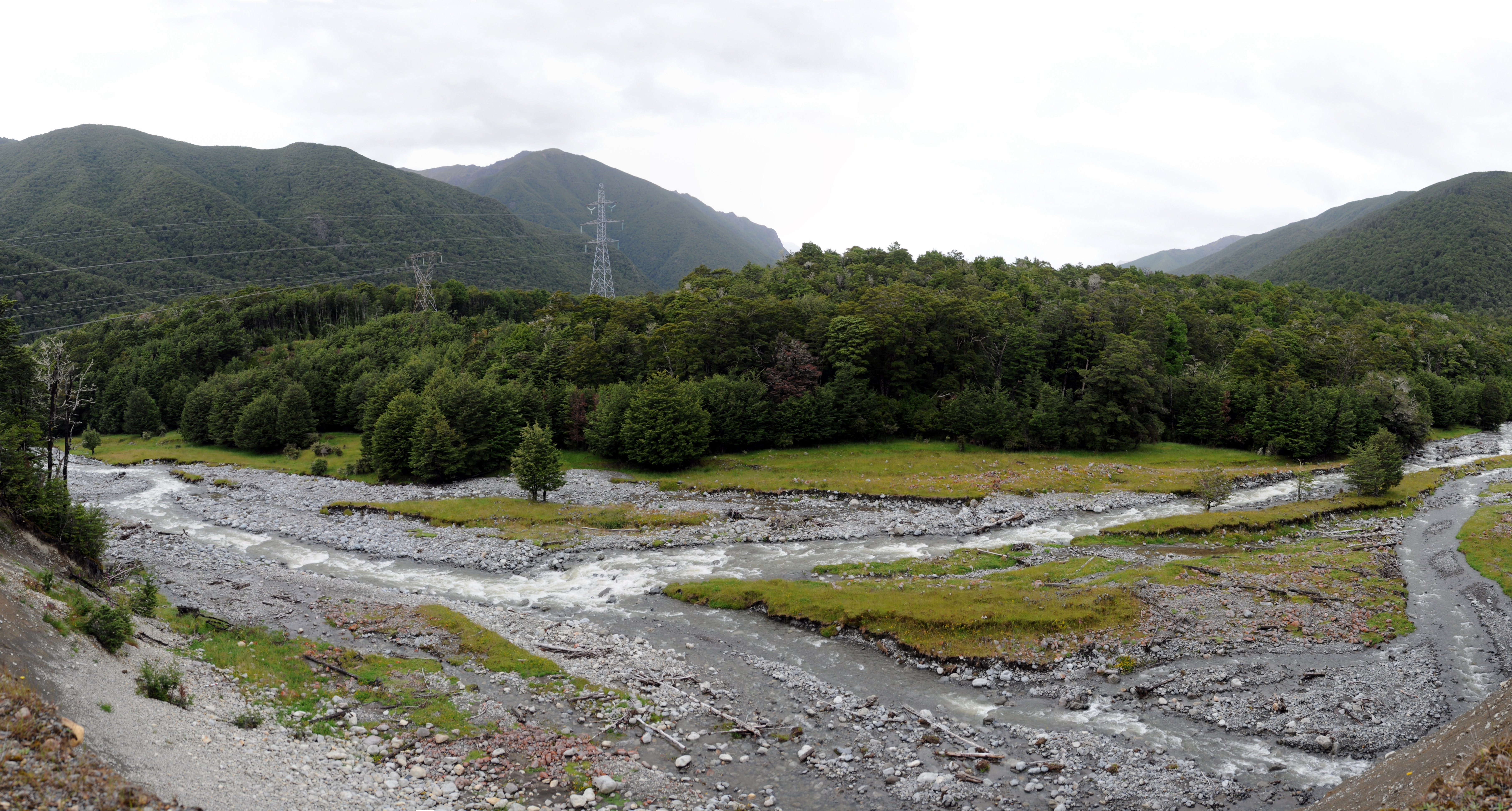
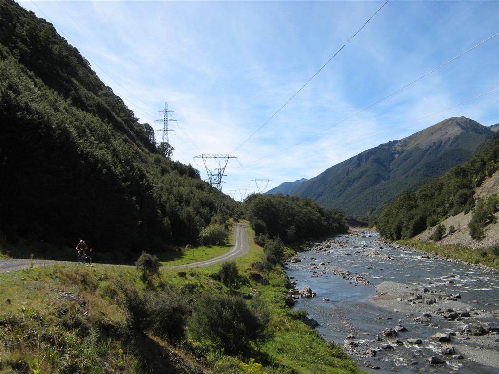
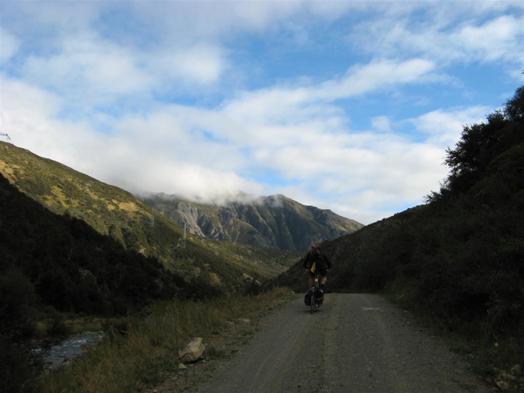
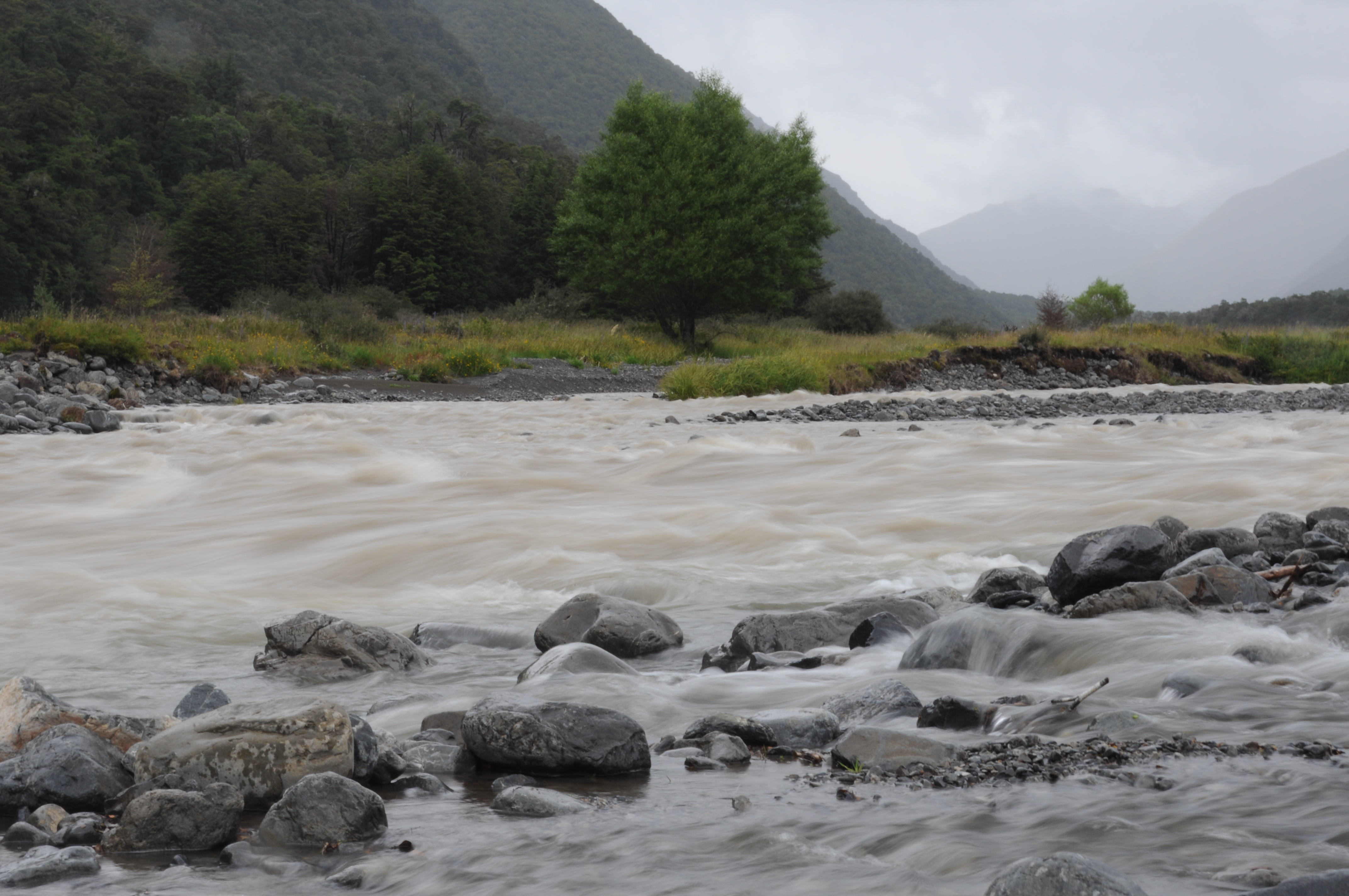
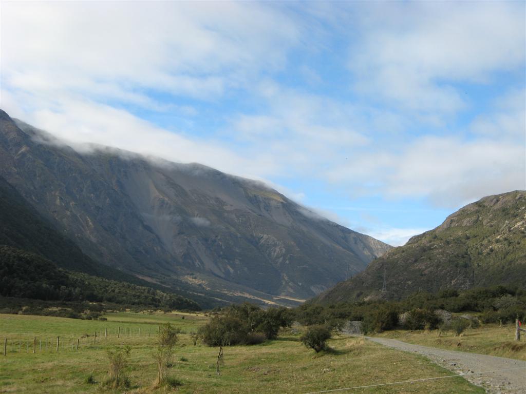
Related Photos:
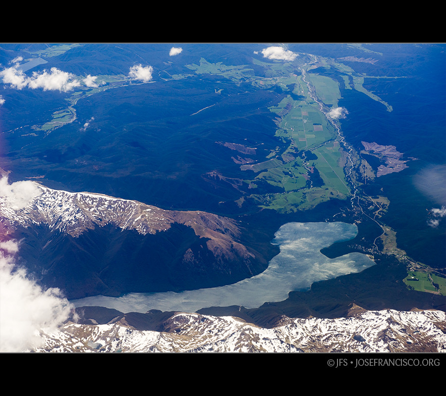
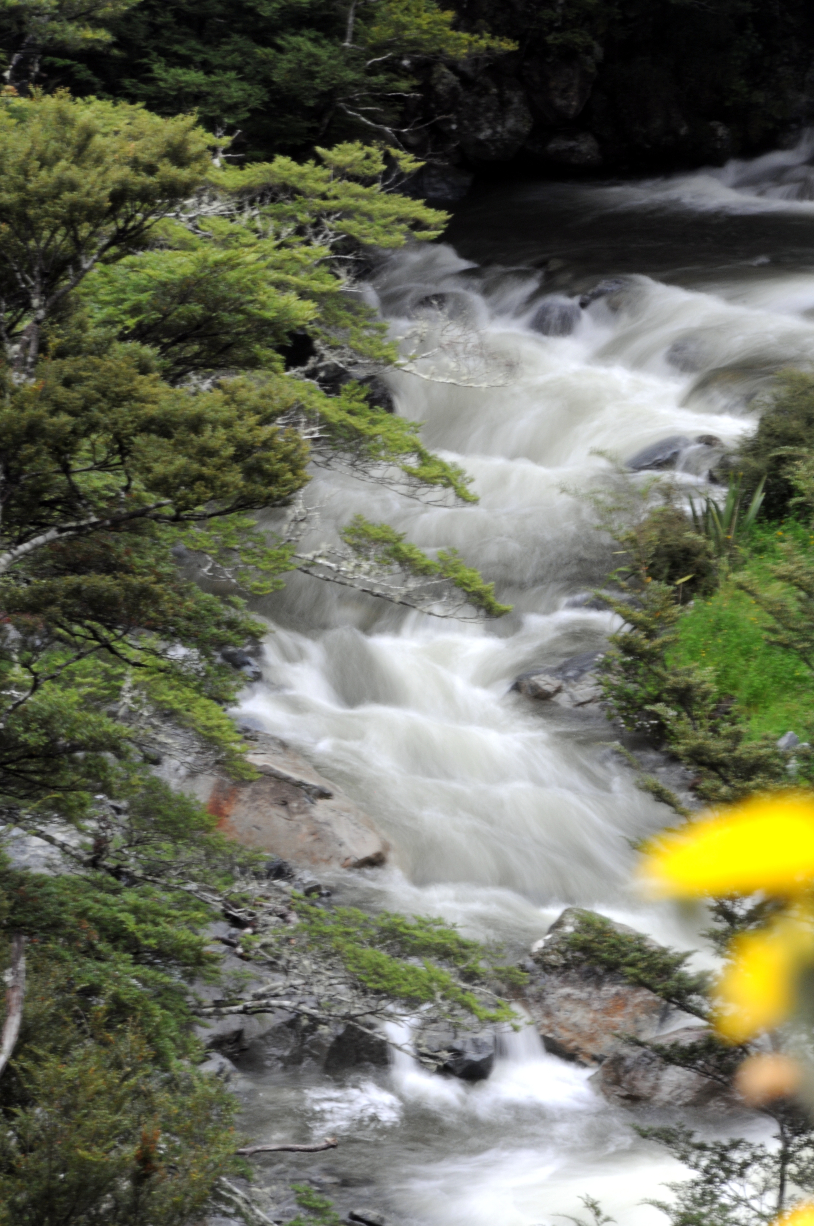
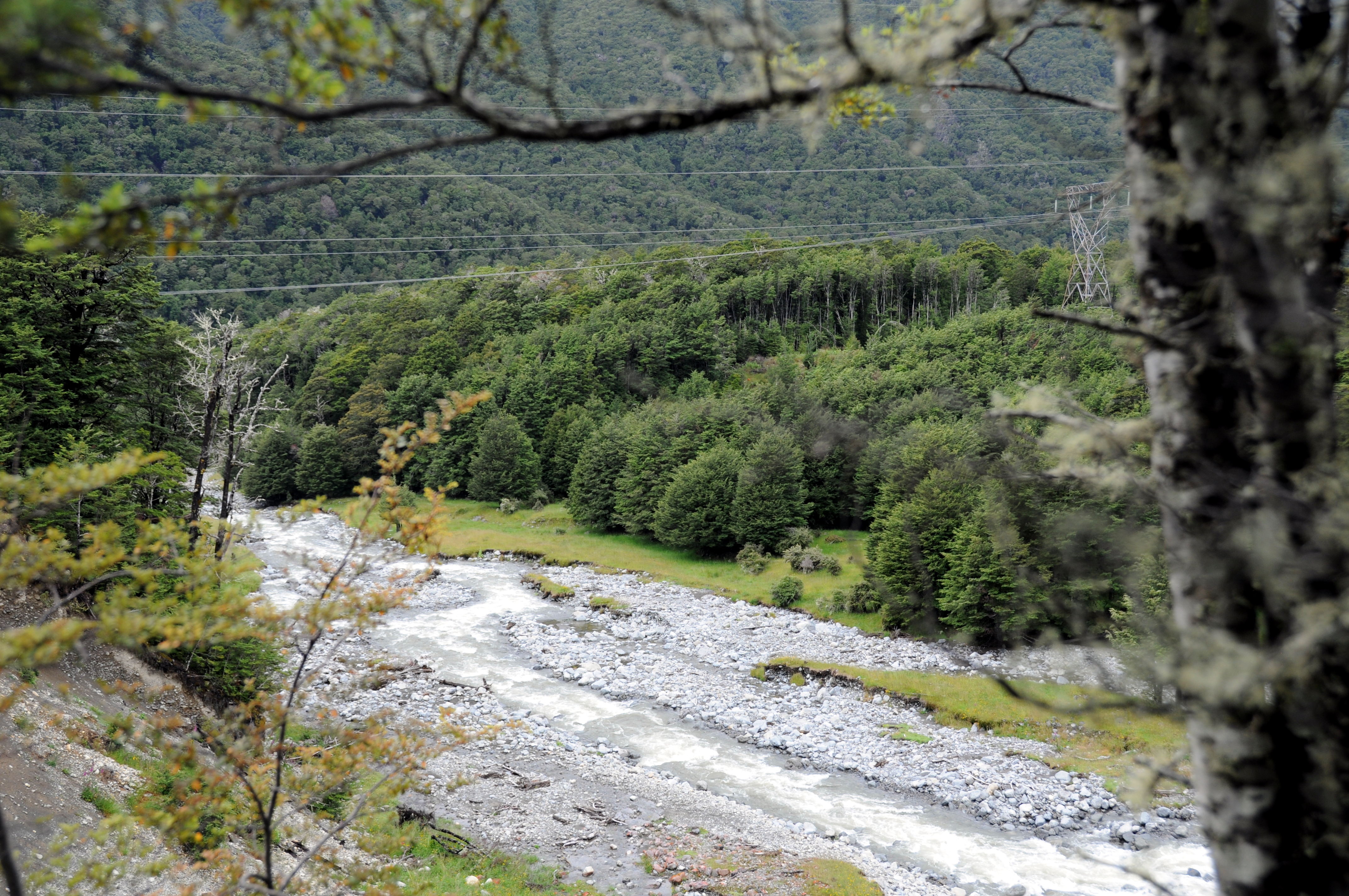
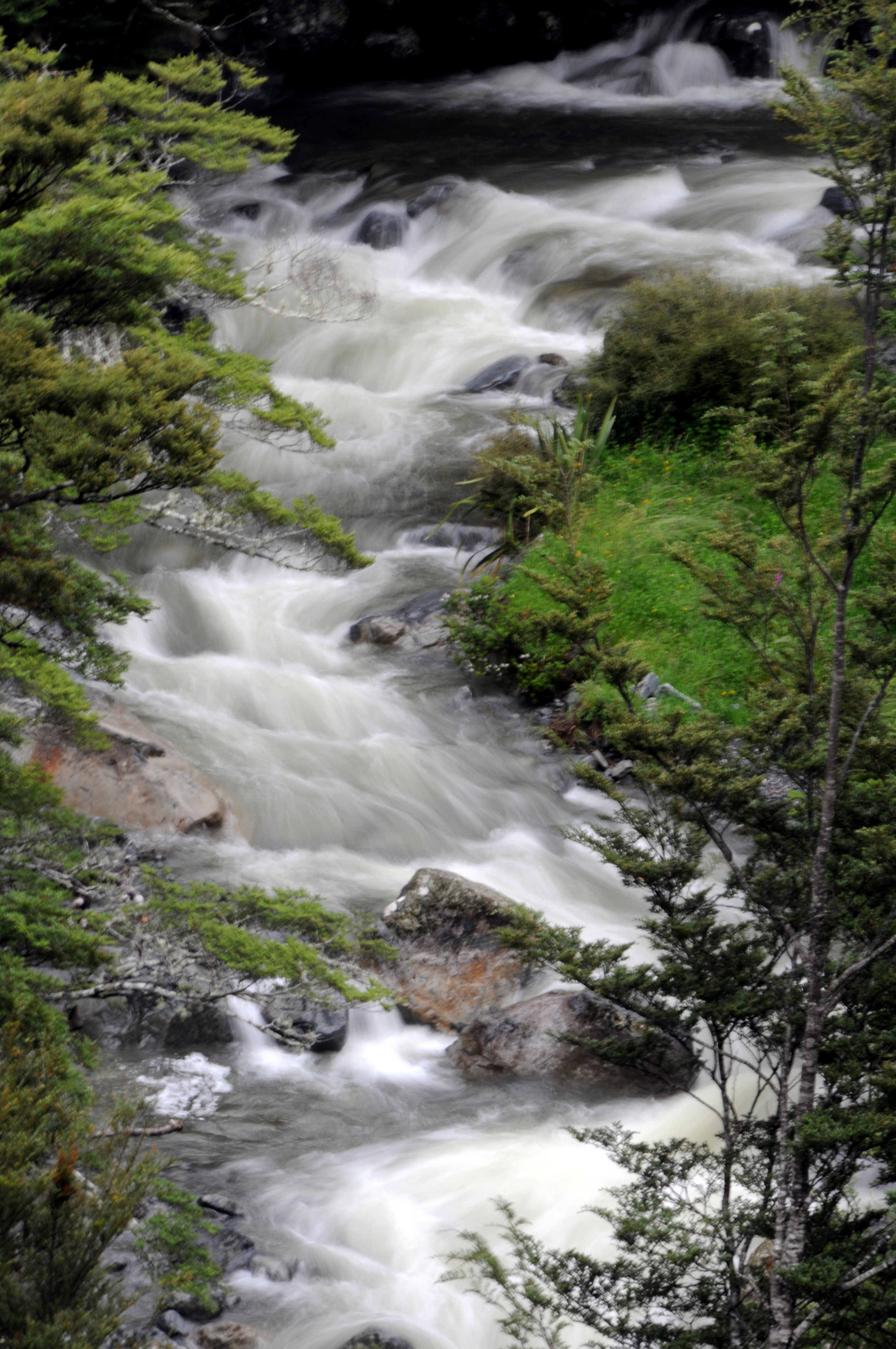
Lake Rotoiti, South Island, NZ
Lake Rotoiti 3-01-2014 1-26-02 p.m.
Lake Rotoiti 3-01-2014 1-05-43 p.m.
Lake Rotoiti 3-01-2014 1-24-31 p.m.
Lake Rotoiti 3-01-2014 2-06-14 p.m.
Lake Rotoiti 3-01-2014 1-55-45 p.m.

Lake Rotoiti 3-01-2014 2-04-15 p.m.
IMG_1475 (Large)
Rainbow Skifield Panorama

New Zealand

New Zealand
IMG_1478 (Large)
IMG_1506 (Large)

New Zealand
Lake Rotoiti 3-01-2014 1-57-40 p.m.
IMG_1510 (Large)
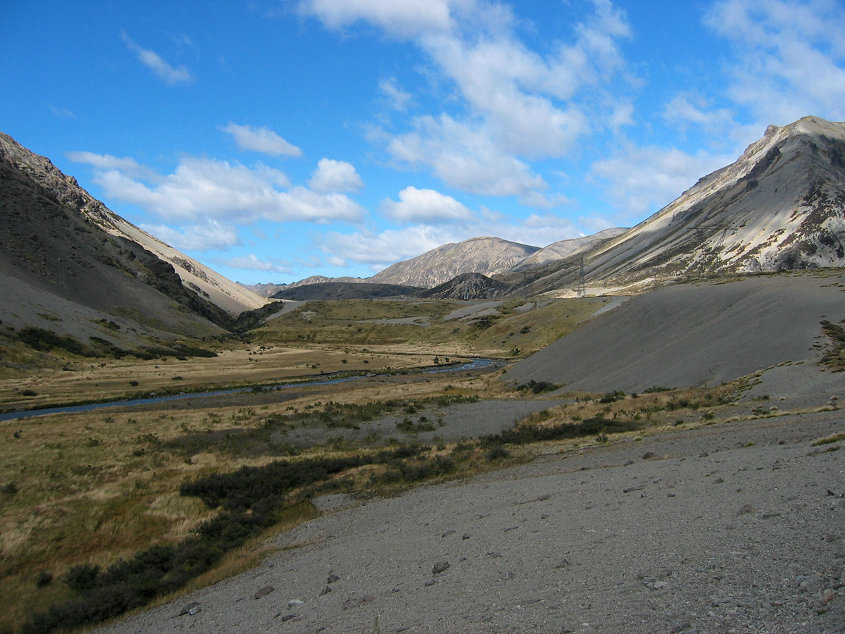
Molesworth Station

Lake Rotoiti 3-01-2014 1-56-27 p.m.
IMG_1463 (Large)
IMG_1477 (Large)
IMG_1474 (Large)
Topographic Map of HP Raglan Range, Marlborough, New Zealand
Find elevation by address:

Places near HP Raglan Range, Marlborough, New Zealand:
Awatere Valley
Red Hill
Mount Richmond Forest Park
3803 Waihopai Valley Road
Marlborough
Marlborough District
Wakefield
3279 Waihopai Valley Rd
Mount Richmond
Tapuae-o-ueneku
Hope
11 Olympus Way
111 Aldinga Avenue
Stoke
Waihopai Valley
Nelson Airport
Crown Terrace
Selao Home & Garden Art
Mapua
Upper Moutere
Recent Searches:
- Elevation of North 8th Street, Palatka, Putnam County, Florida, 32177, USA
- Elevation of 107, Big Apple Road, East Palatka, Putnam County, Florida, 32131, USA
- Elevation of Jiezi, Chongzhou City, Sichuan, China
- Elevation of Chongzhou City, Sichuan, China
- Elevation of Huaiyuan, Chongzhou City, Sichuan, China
- Elevation of Qingxia, Chengdu, Sichuan, China
- Elevation of Corso Fratelli Cairoli, 35, Macerata MC, Italy
- Elevation of Tallevast Rd, Sarasota, FL, USA
- Elevation of 4th St E, Sonoma, CA, USA
- Elevation of Black Hollow Rd, Pennsdale, PA, USA
- Elevation of Oakland Ave, Williamsport, PA, USA
- Elevation of Pedrógão Grande, Portugal
- Elevation of Klee Dr, Martinsburg, WV, USA
- Elevation of Via Roma, Pieranica CR, Italy
- Elevation of Tavkvetili Mountain, Georgia
- Elevation of Hartfords Bluff Cir, Mt Pleasant, SC, USA
- Elevation of SW Barberry Dr, Beaverton, OR, USA
- Elevation of Old Ahsahka Grade, Ahsahka, ID, USA
- Elevation of State Hwy F, Pacific, MO, USA
- Elevation of Chemin de Bel air, Chem. de Bel air, Mougins, France