Elevation map of Awatere Valley, New Zealand
Location: New Zealand > Marlborough > Marlborough District >
Longitude: 173.261074
Latitude: -42.085199
Elevation: 884m / 2900feet
Barometric Pressure: 91KPa
Elevation Map:
Satellite Map:
Related Photos:
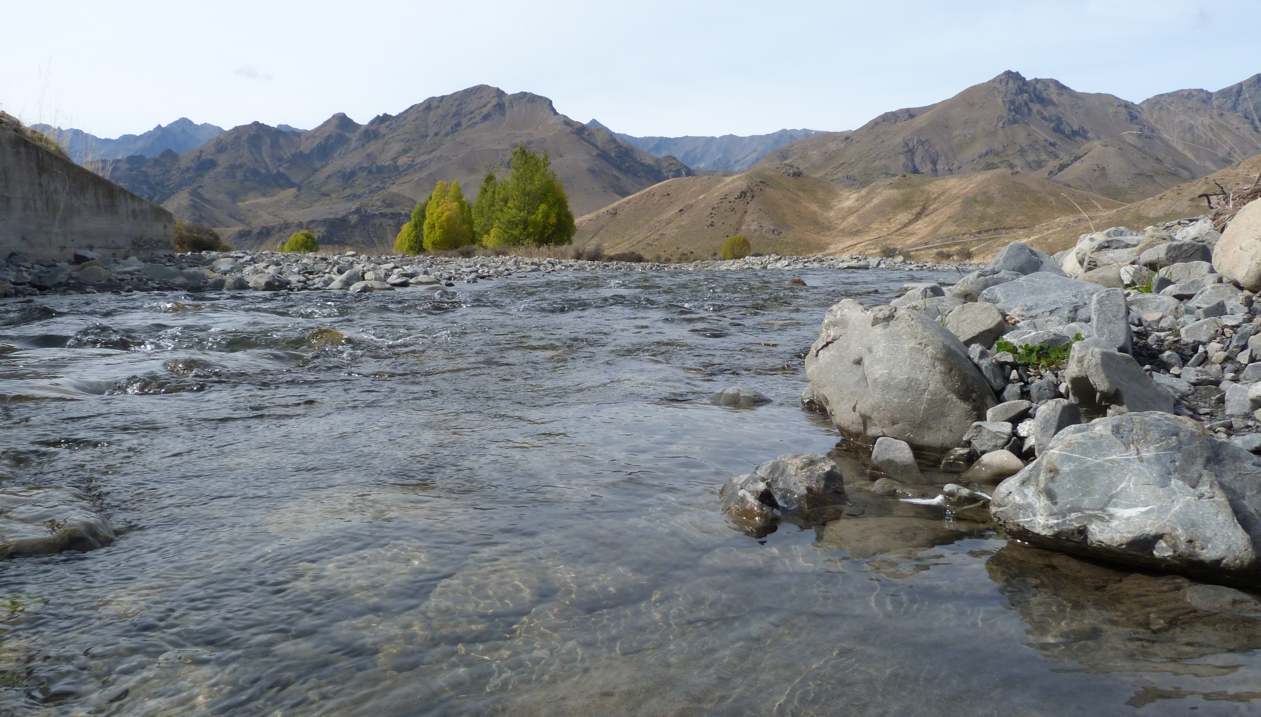
The road less travelled

2011-01-29-Molesworth 68

2011-01-29-Molesworth 63

2011-01-29-Molesworth 38

2011-01-29-Molesworth 4

2011-01-29-Molesworth 70

2011-01-29-Molesworth 12

2011-01-29-Molesworth 24

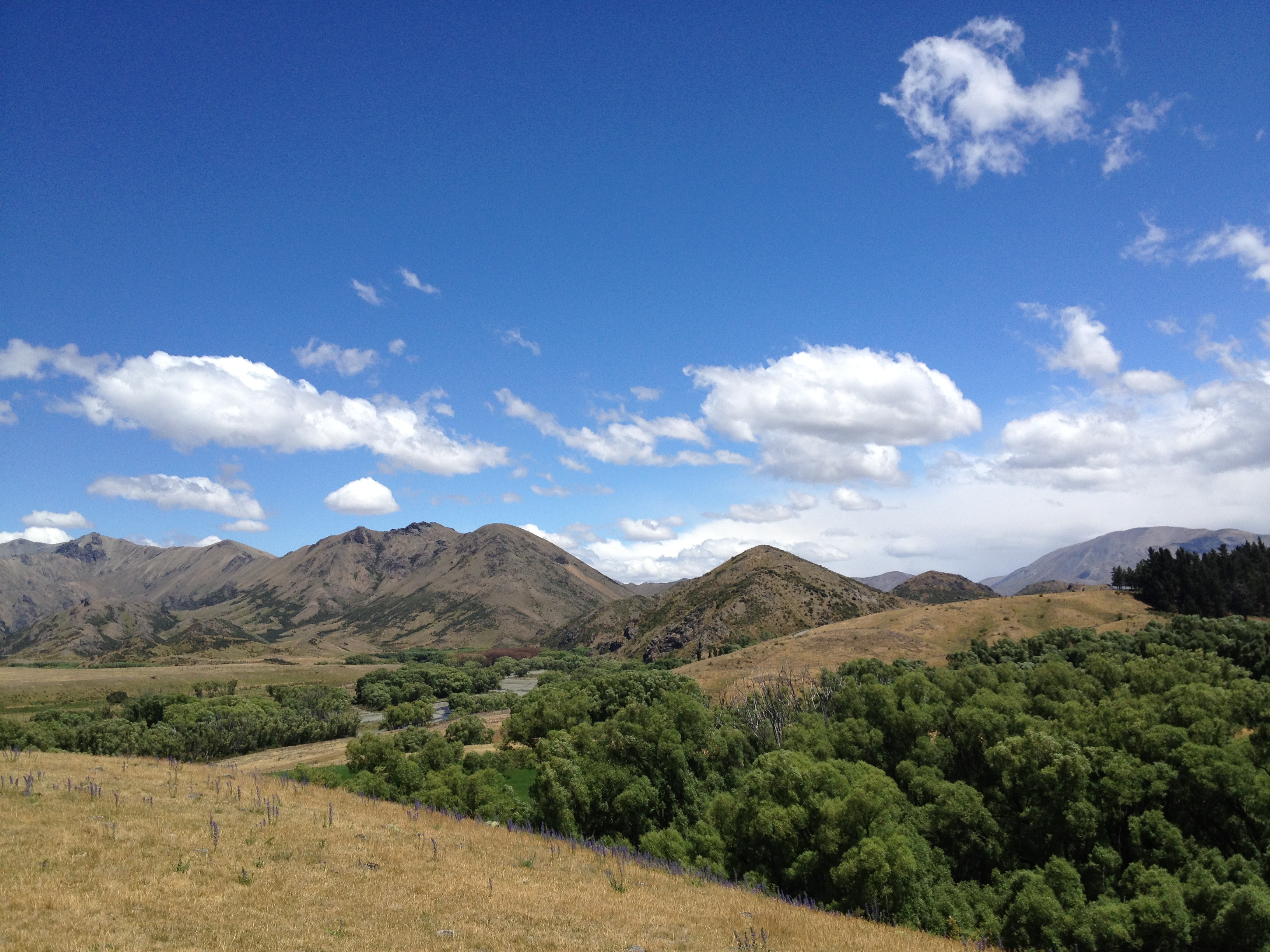
Molesworth Country

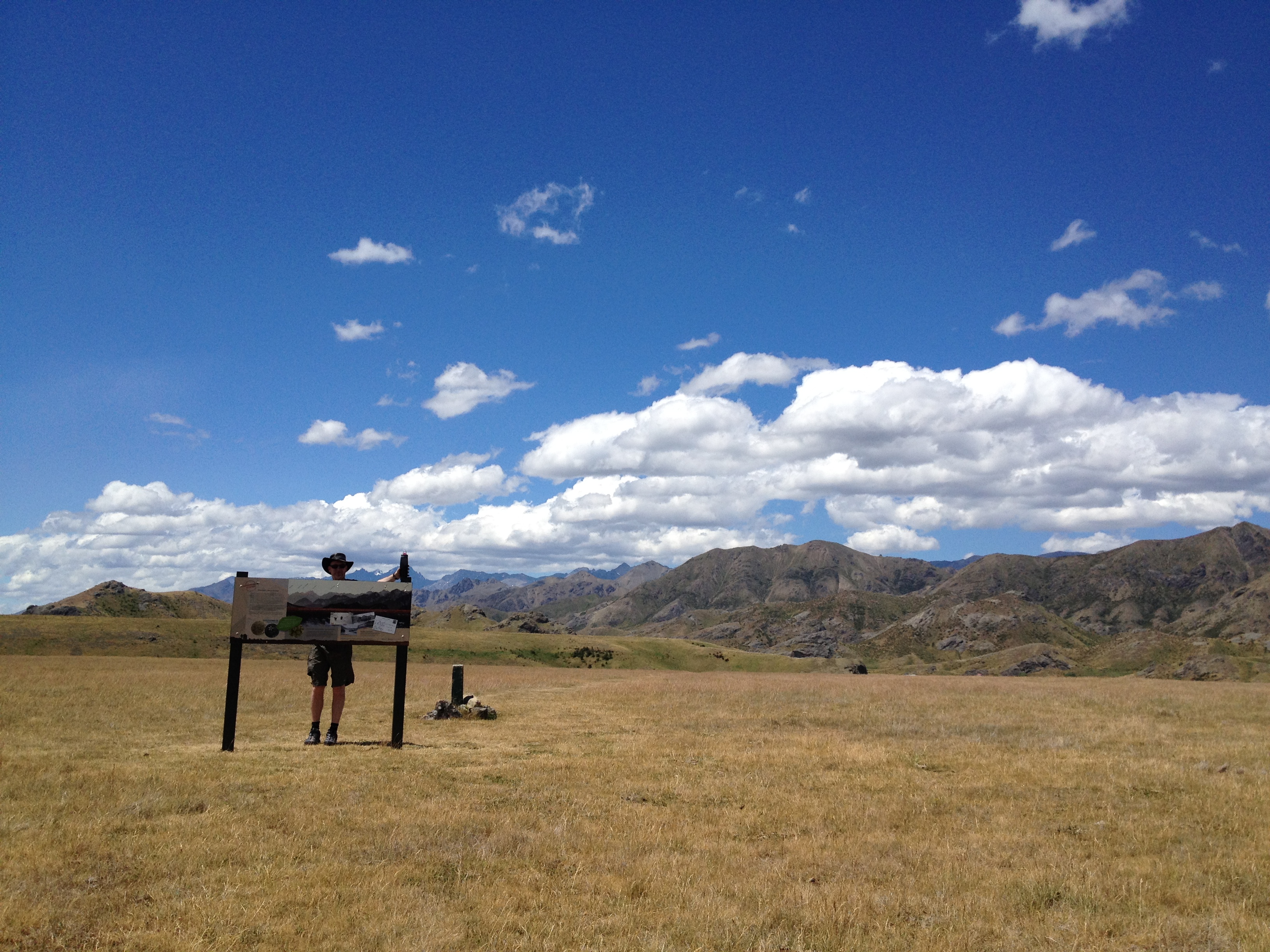
Human Tripod!
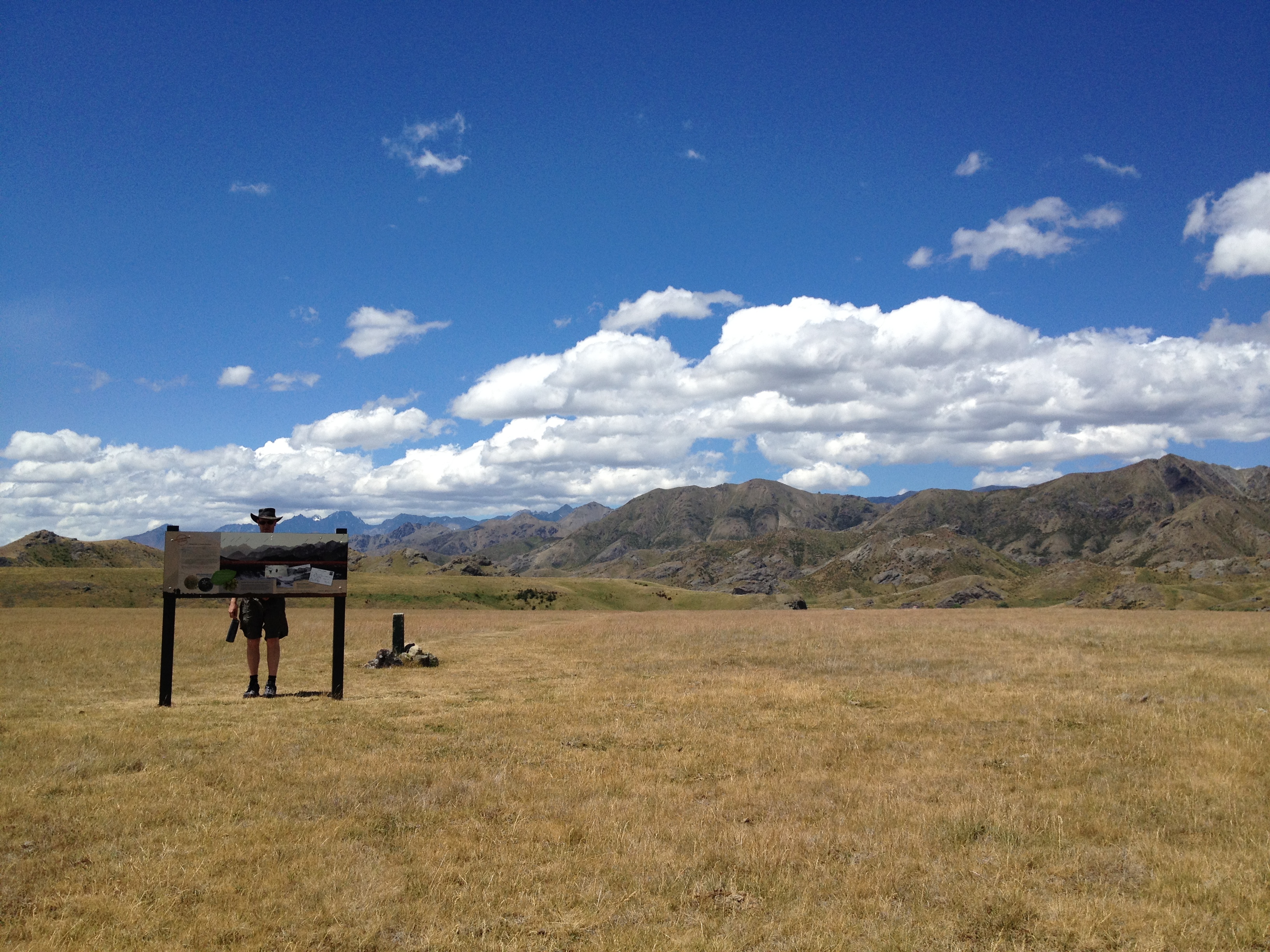
Molesworth Station
Molesworth Station

Wards pass

2011-01-29-Molesworth 45

Molesworth Country
Molesworth Station

Wards pass

Molesworth Station Ride

Molesworth Station Ride

Wards pass

Molesworth Station Ride
Topographic Map of Awatere Valley, New Zealand
Find elevation by address:

Places in Awatere Valley, New Zealand:
Places near Awatere Valley, New Zealand:
Hp Raglan Range
Tapuae-o-ueneku
3803 Waihopai Valley Road
3279 Waihopai Valley Rd
Red Hill
Mount Richmond Forest Park
Marlborough
Marlborough District
Waihopai Valley
Mount Richmond
Clarence
Wakefield
11 Olympus Way
Hope
63/594 State Hwy
Stoke
111 Aldinga Avenue
Nelson Airport
Crown Terrace
Selao Home & Garden Art
Recent Searches:
- Elevation of Corso Fratelli Cairoli, 35, Macerata MC, Italy
- Elevation of Tallevast Rd, Sarasota, FL, USA
- Elevation of 4th St E, Sonoma, CA, USA
- Elevation of Black Hollow Rd, Pennsdale, PA, USA
- Elevation of Oakland Ave, Williamsport, PA, USA
- Elevation of Pedrógão Grande, Portugal
- Elevation of Klee Dr, Martinsburg, WV, USA
- Elevation of Via Roma, Pieranica CR, Italy
- Elevation of Tavkvetili Mountain, Georgia
- Elevation of Hartfords Bluff Cir, Mt Pleasant, SC, USA