Elevation of Red Hill, Marlborough, New Zealand
Location: New Zealand > Marlborough > Mount Richmond Forest Park >
Longitude: 173.0575
Latitude: -41.626666
Elevation: 1403m / 4603feet
Barometric Pressure: 86KPa
Elevation Map:
Satellite Map:
Related Photos:
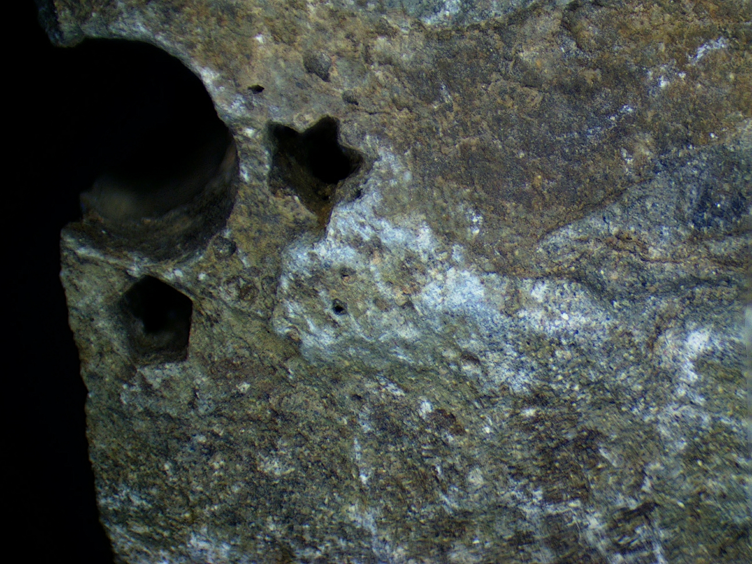
Triassic crinoid fossils

The Long White Cloud
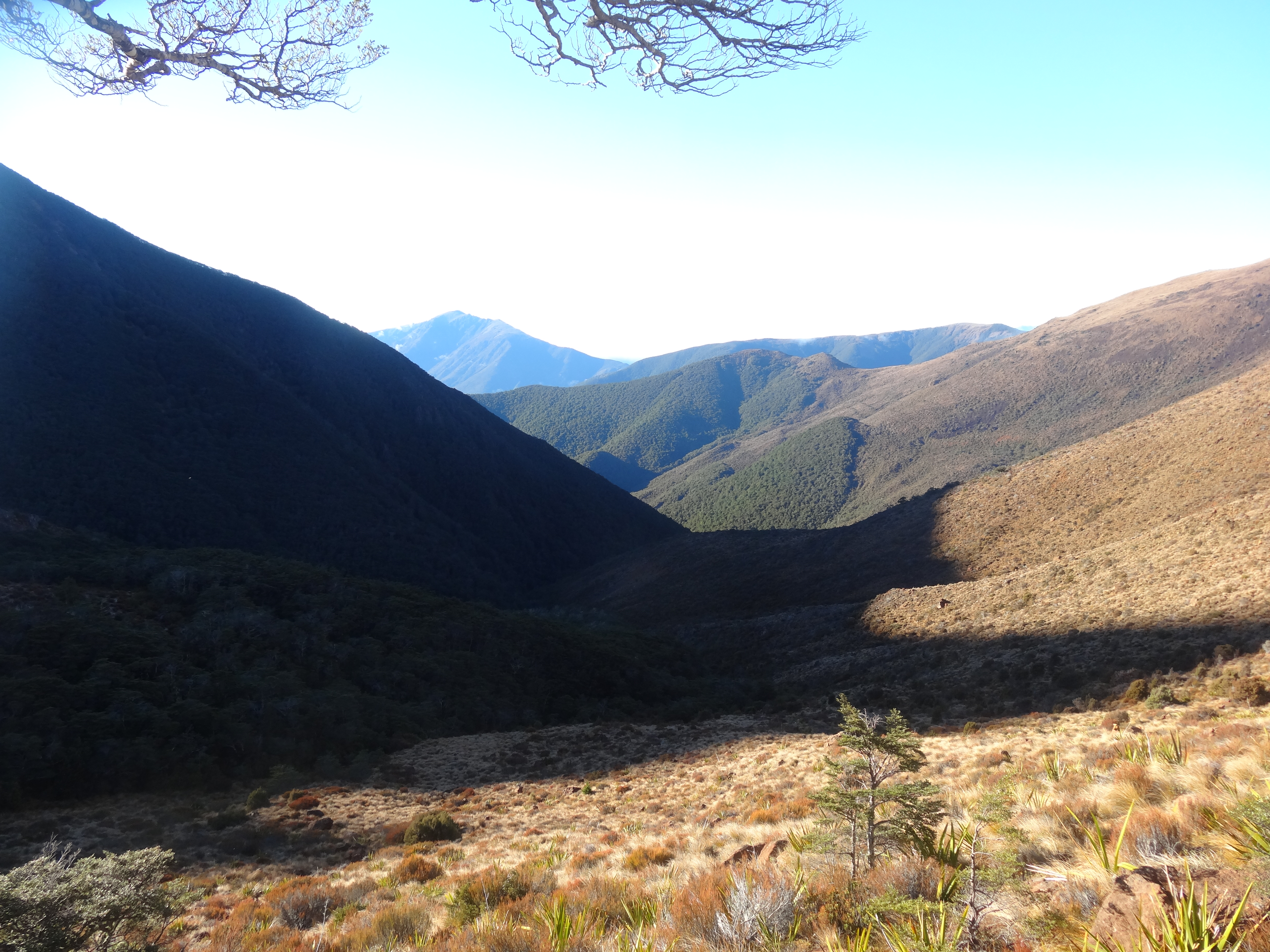
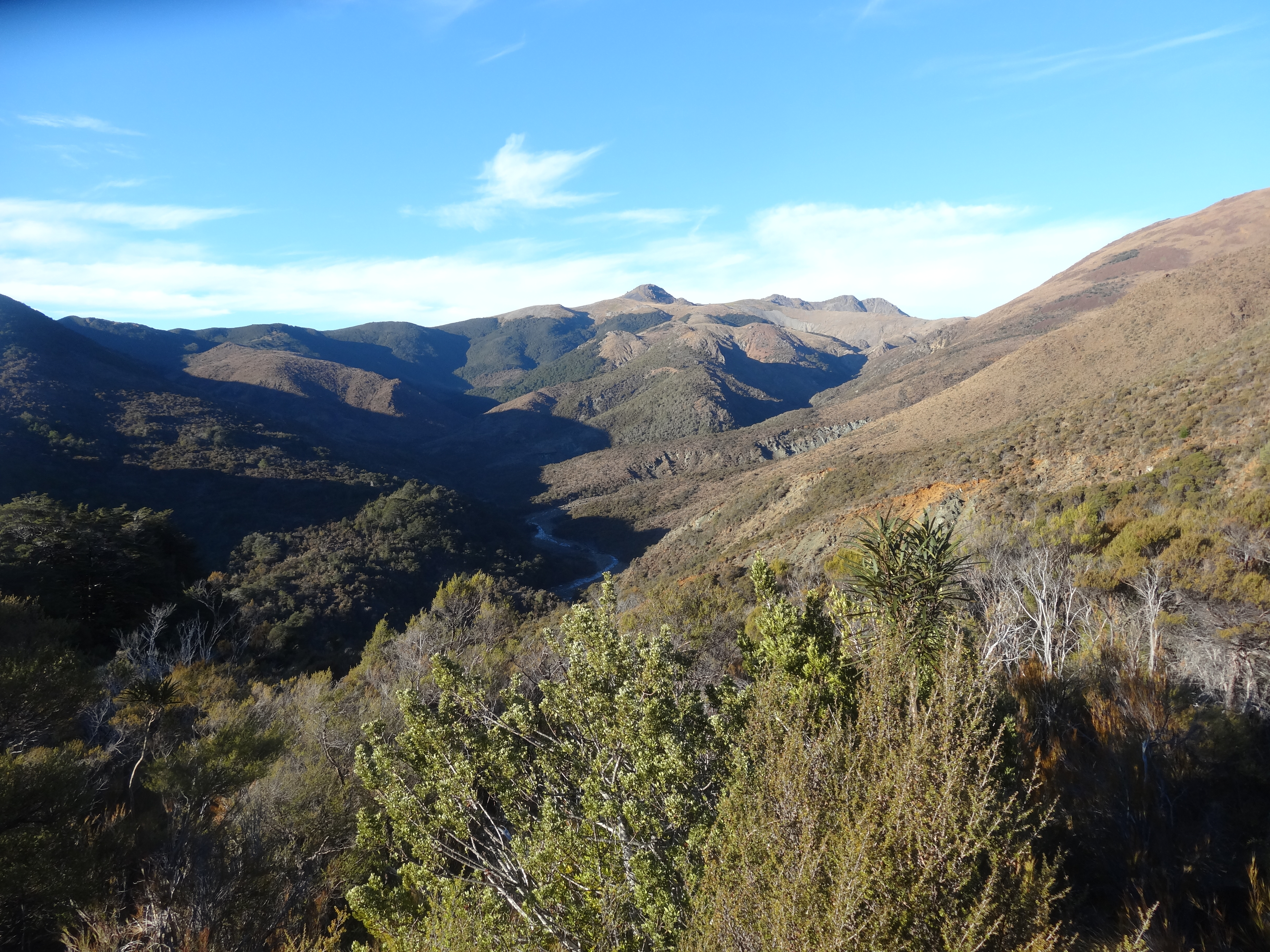
Richmon Range Alpine Track 82
Richmon Range Alpine Track 89
-
Richmon Range Alpine Track 92
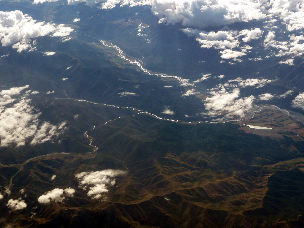
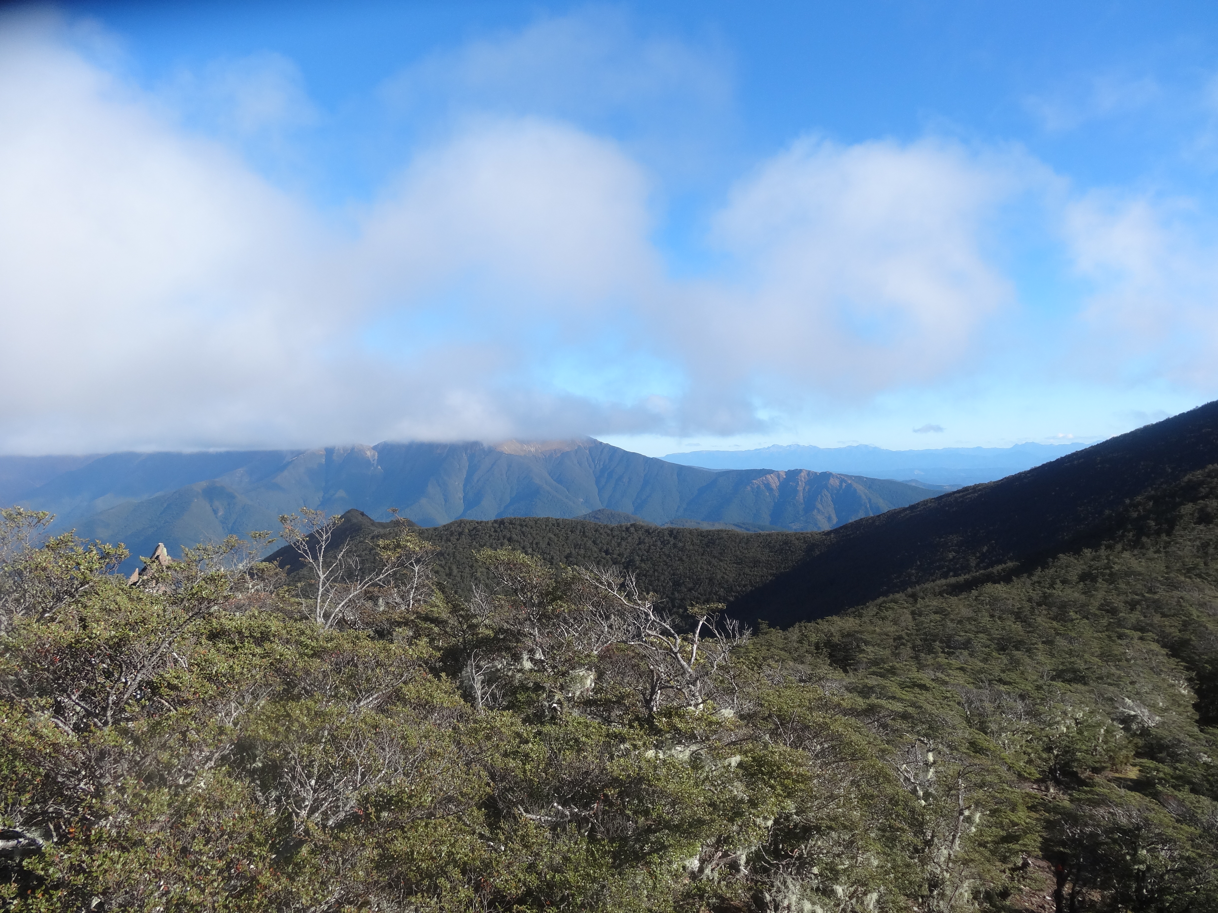
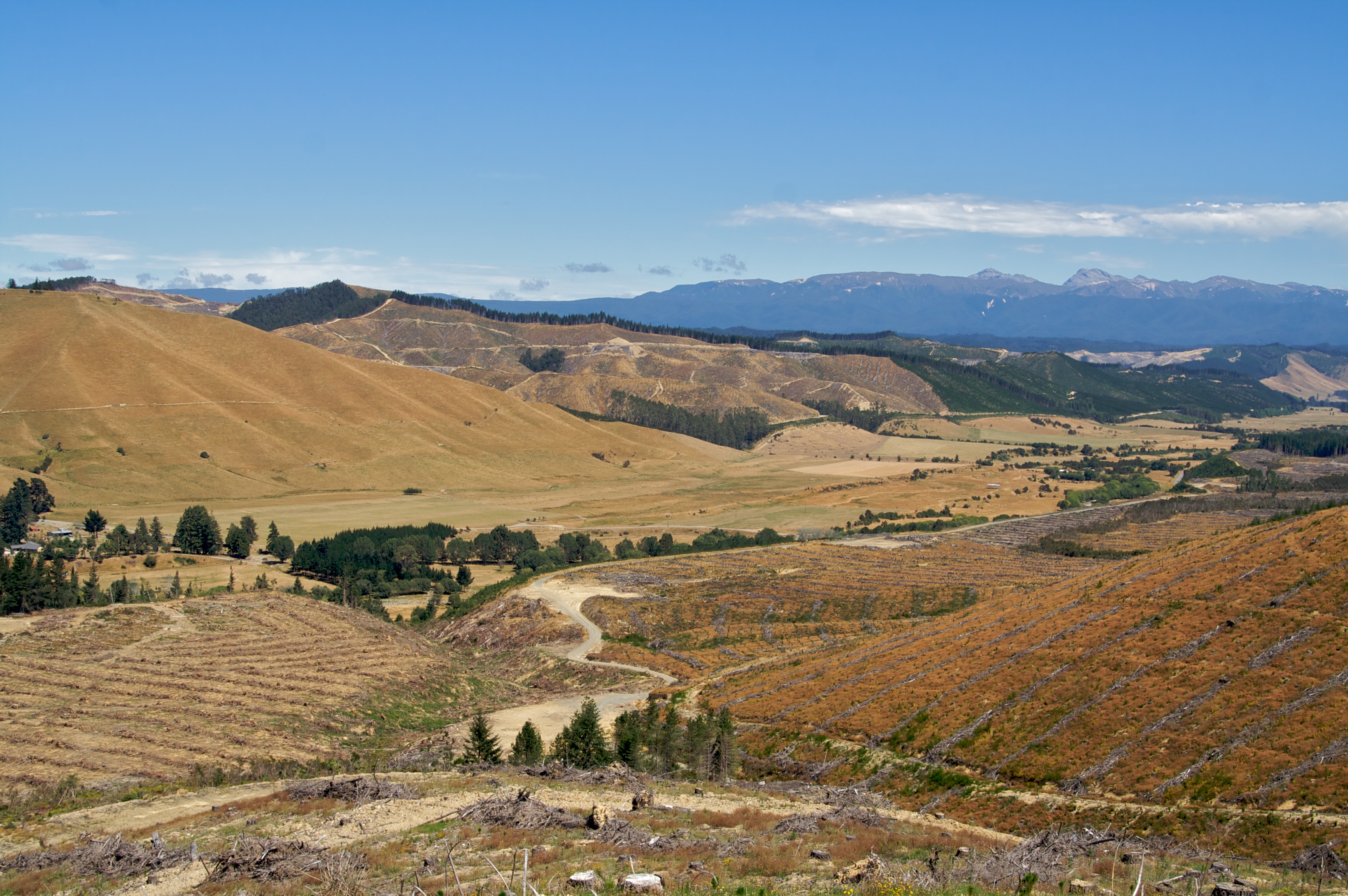
The Wairau Valley amidst ranges and rivers
Leatham valley
Richmon Range Alpine Track 90
Richmon Range Alpine Track 98

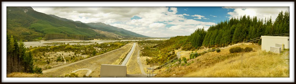
Wairau River Bridge-2
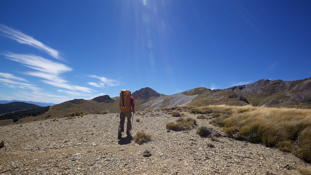
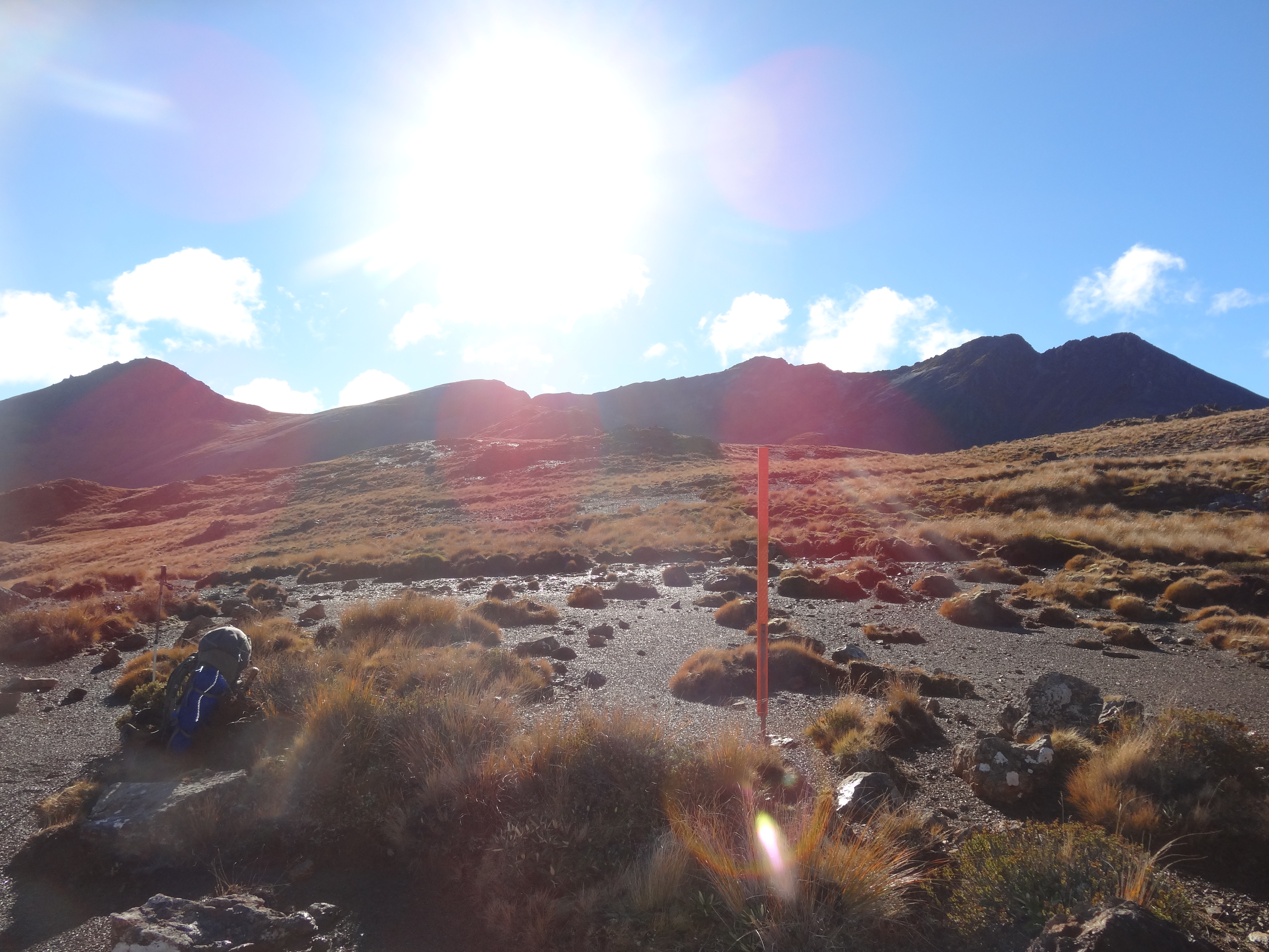
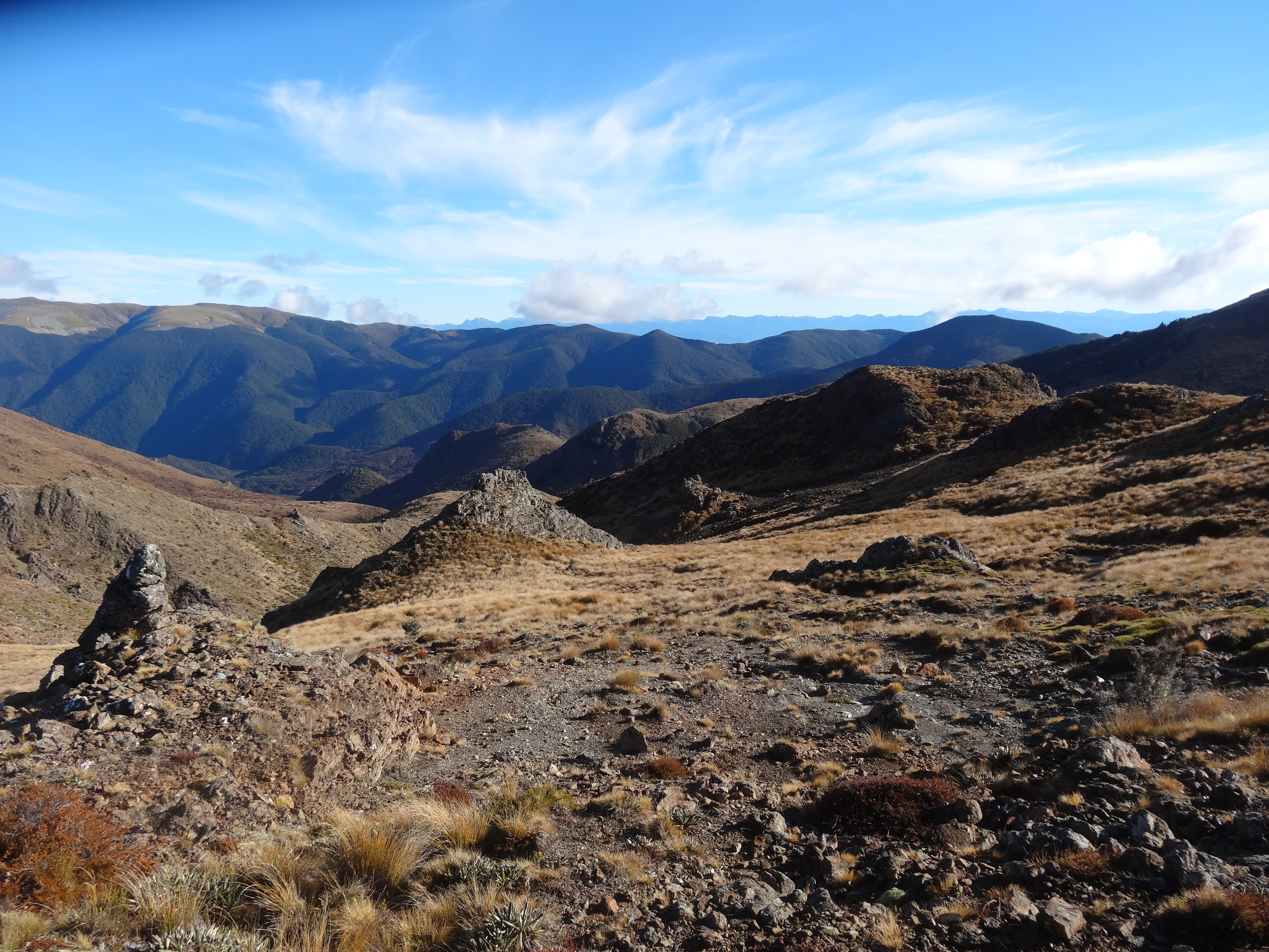
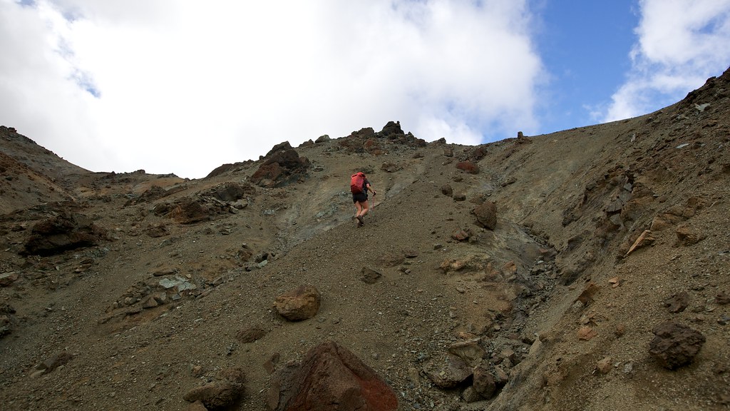
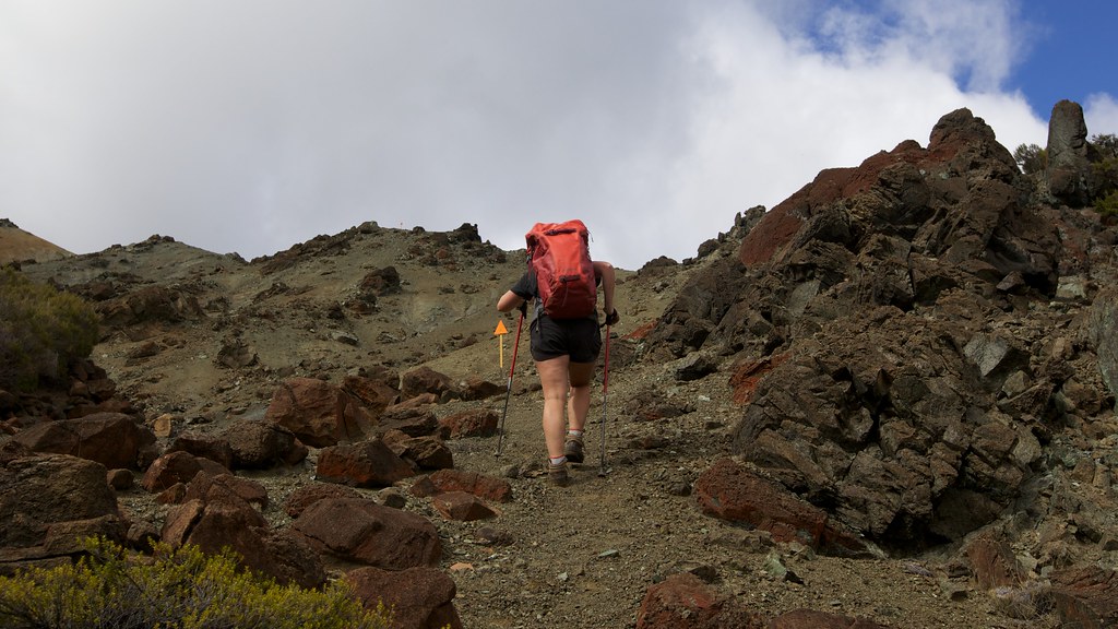
Climbing Towards Mt. Ellis
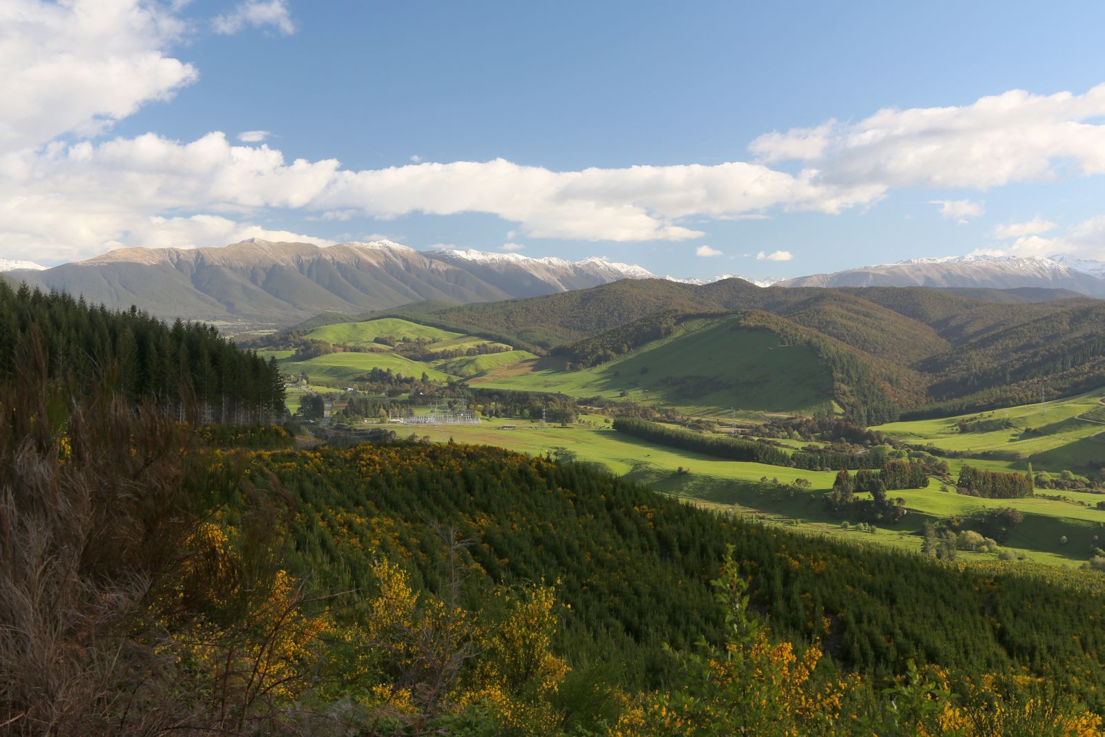
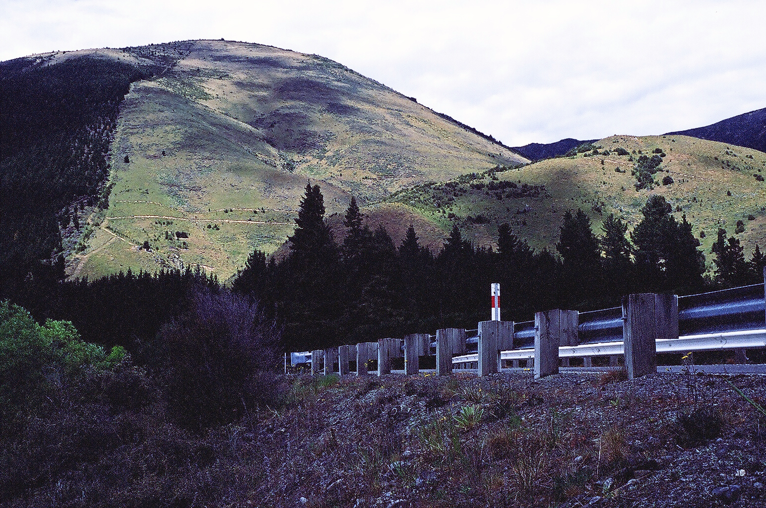
Kikiwa, Tasman, New Zealand
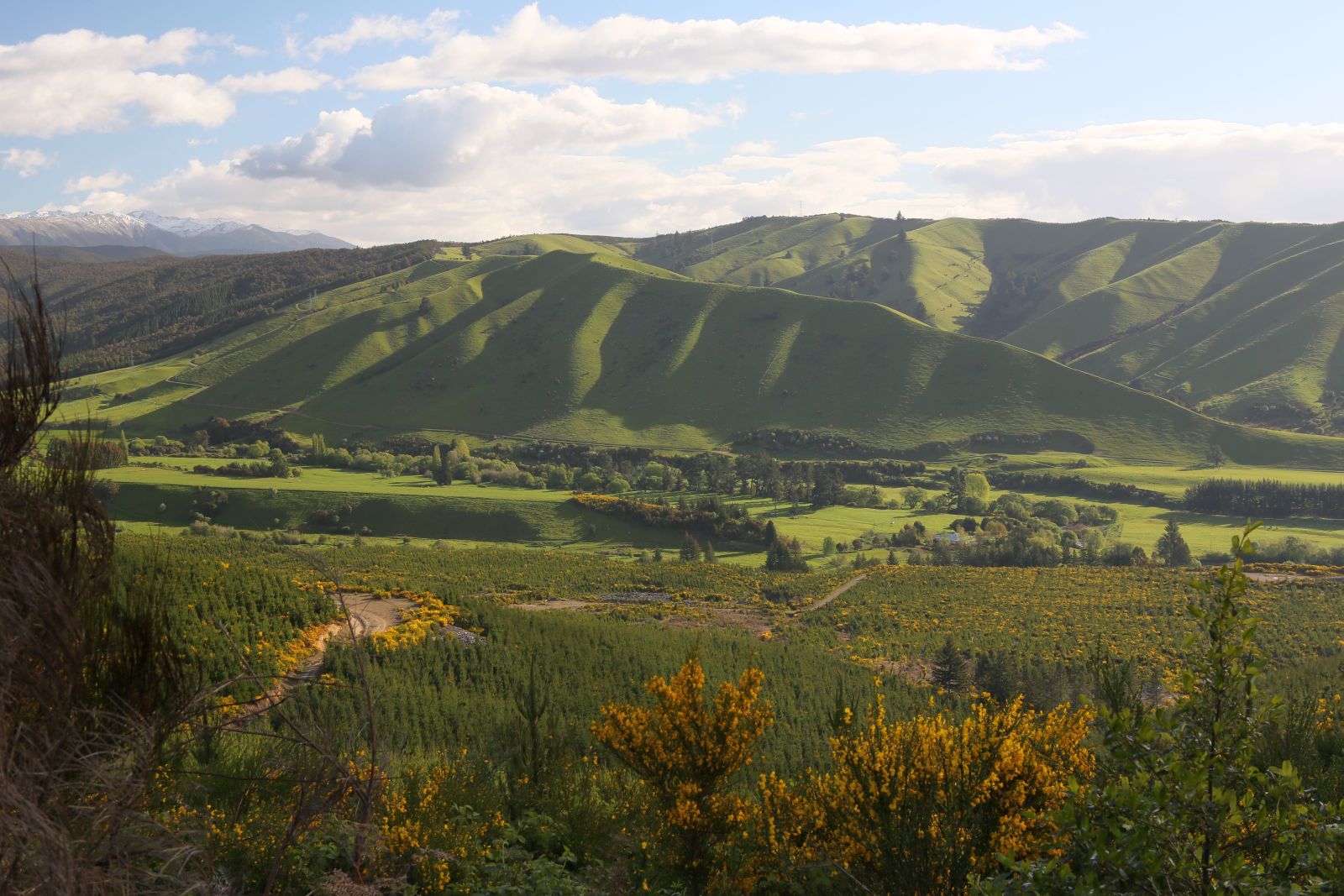
Kikiwa, Tasman, New Zealand
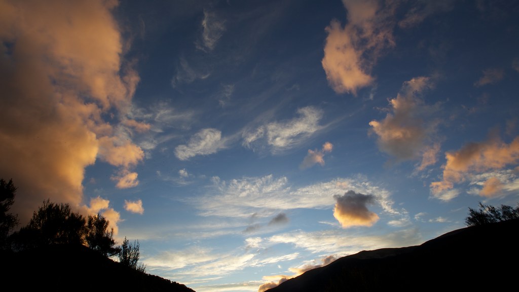
Interesting Sky

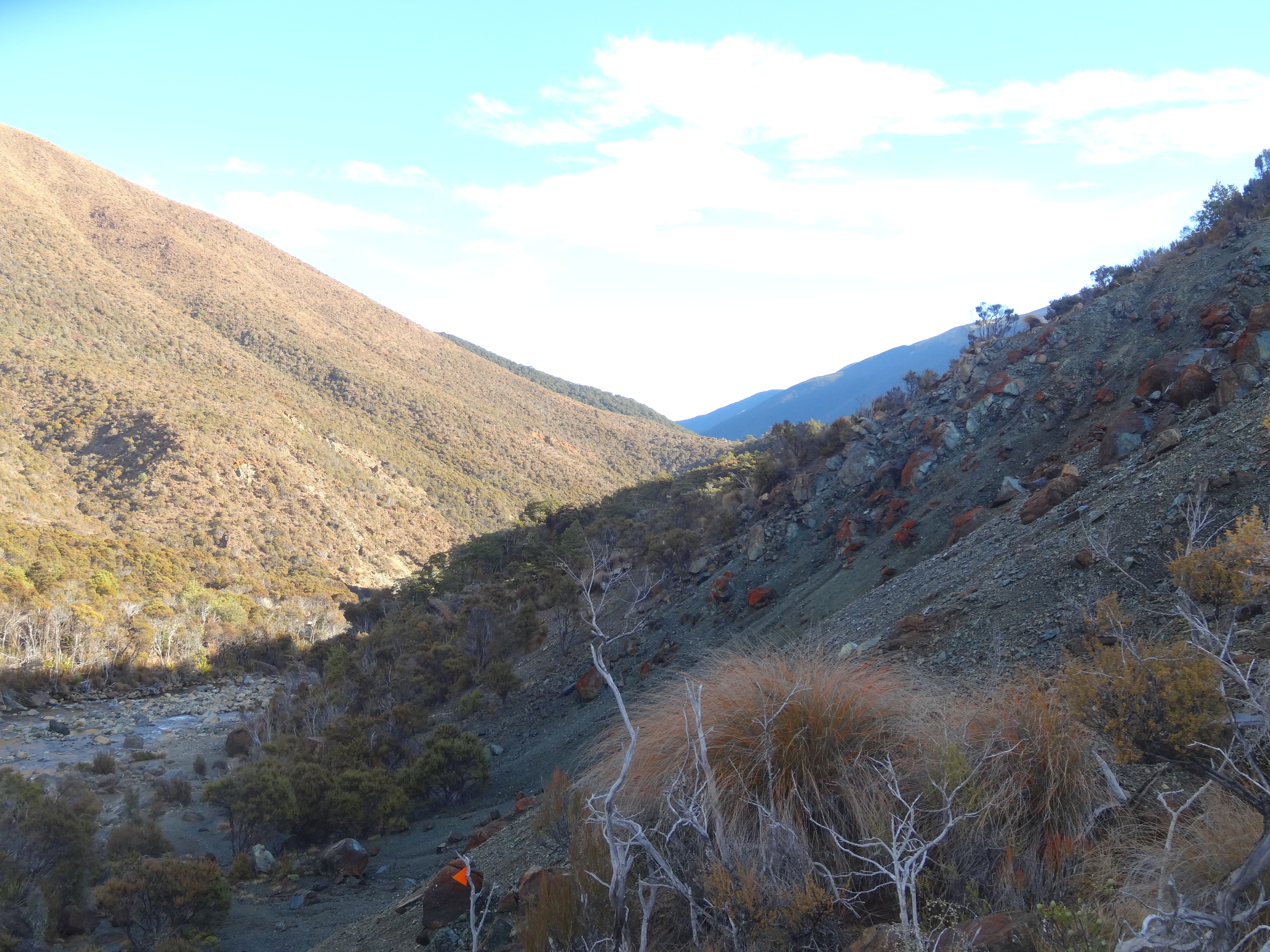
Richmon Range Alpine Track 56
Martian Landscape
Night fall on the tarn by Tarn Hut
Richmon Range Alpine Track 55

Raglan II
Martian Landscape
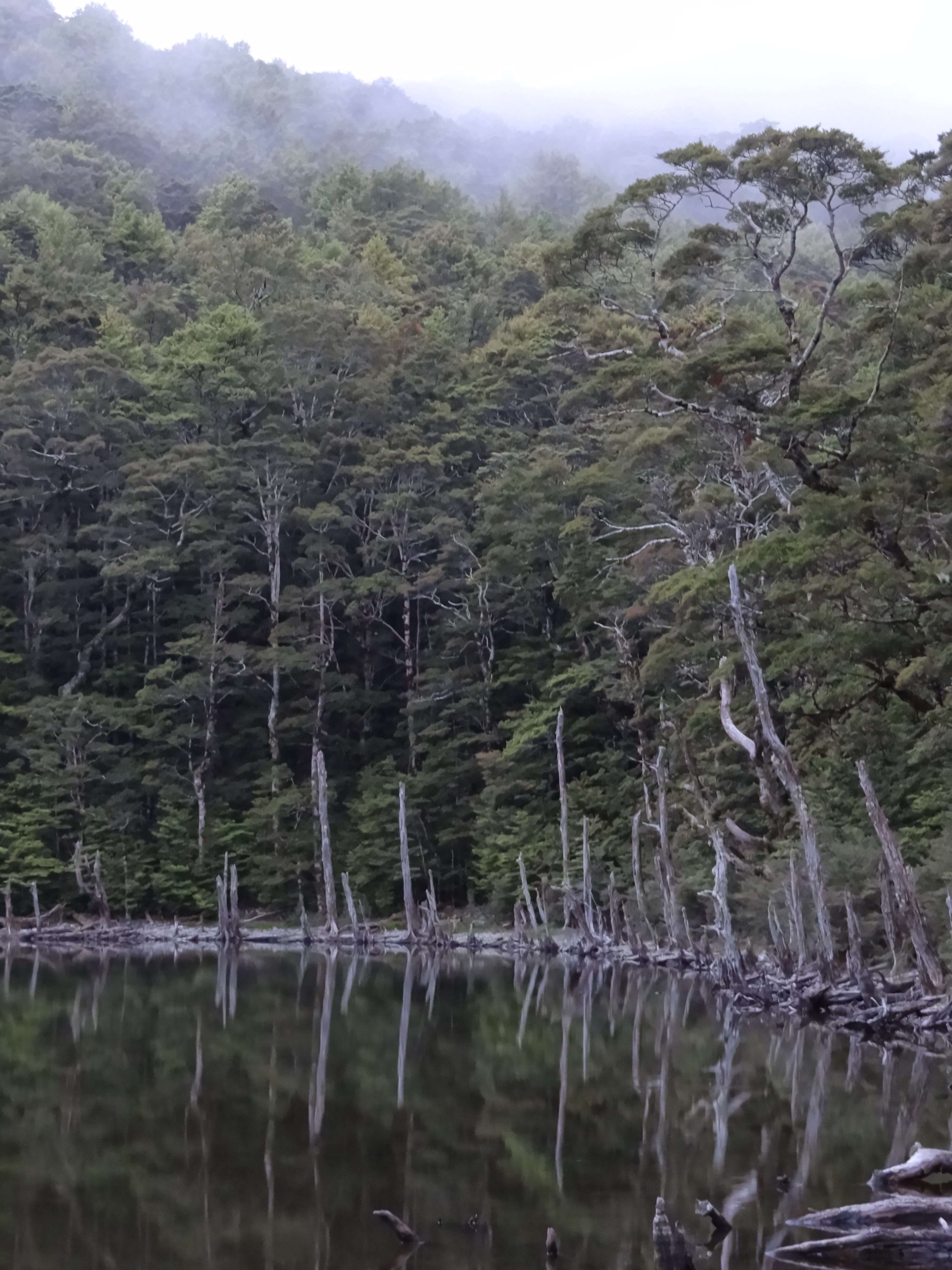
Former Forest
Topographic Map of Red Hill, Marlborough, New Zealand
Find elevation by address:

Places near Red Hill, Marlborough, New Zealand:
Wakefield
Hope
Mount Richmond Forest Park
11 Olympus Way
111 Aldinga Avenue
Stoke
Hp Raglan Range
Nelson Airport
Marlborough
Marlborough District
Mount Richmond
Mapua
Upper Moutere
Selao Home & Garden Art
Crown Terrace
324 Wills Road
12 Quebec Road
372 Trafalgar Square
Stepneyville
63 Russell St
Recent Searches:
- Elevation of Corso Fratelli Cairoli, 35, Macerata MC, Italy
- Elevation of Tallevast Rd, Sarasota, FL, USA
- Elevation of 4th St E, Sonoma, CA, USA
- Elevation of Black Hollow Rd, Pennsdale, PA, USA
- Elevation of Oakland Ave, Williamsport, PA, USA
- Elevation of Pedrógão Grande, Portugal
- Elevation of Klee Dr, Martinsburg, WV, USA
- Elevation of Via Roma, Pieranica CR, Italy
- Elevation of Tavkvetili Mountain, Georgia
- Elevation of Hartfords Bluff Cir, Mt Pleasant, SC, USA