Elevation map of Tapuae-O-Ueneku, Canterbury, New Zealand
Location: New Zealand > Marlborough > Clarence >
Longitude: 173.6625
Latitude: -41.995833
Elevation: 2184m / 7165feet
Barometric Pressure: 78KPa
Elevation Map:
Satellite Map:
Related Photos:
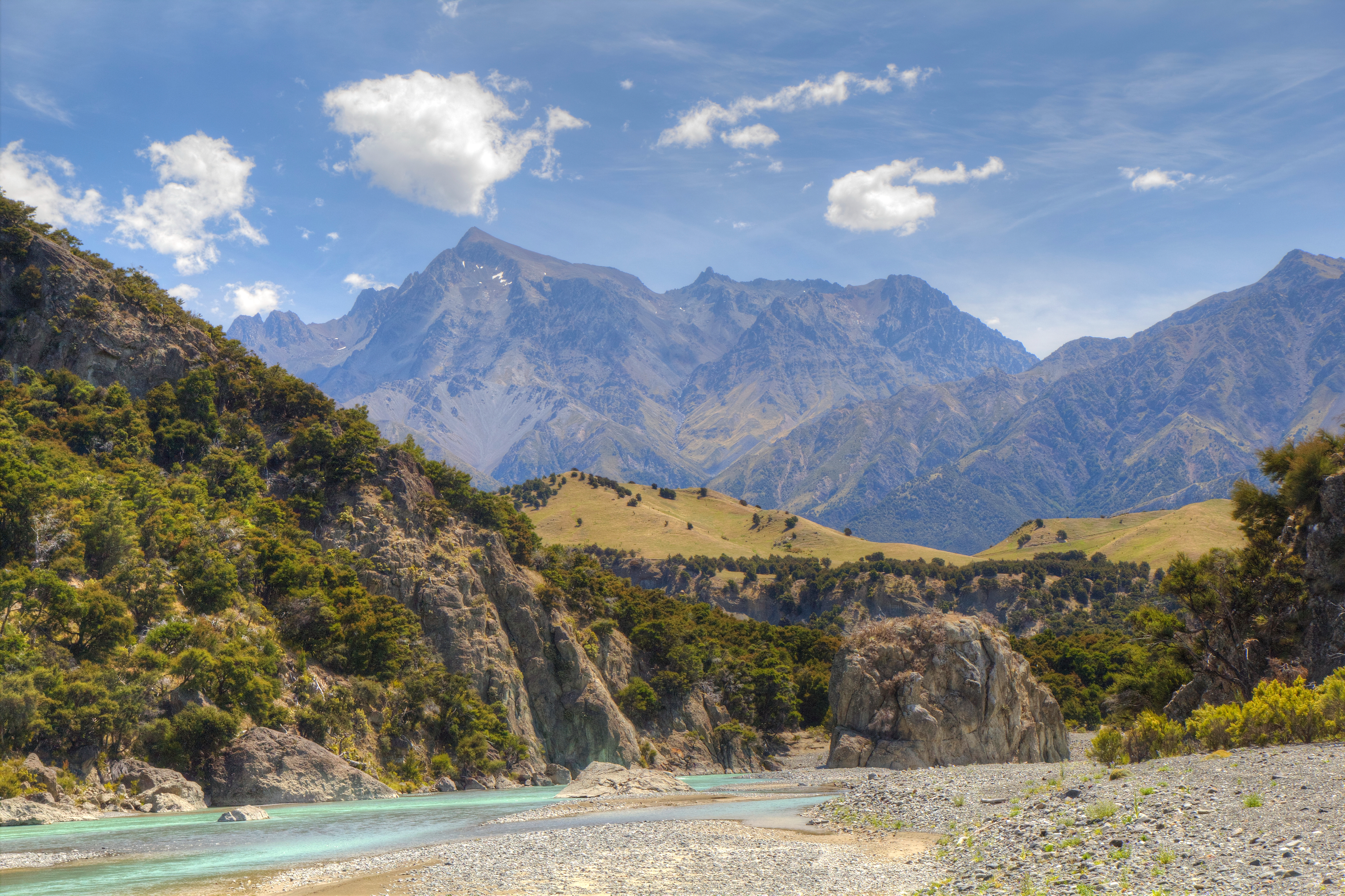
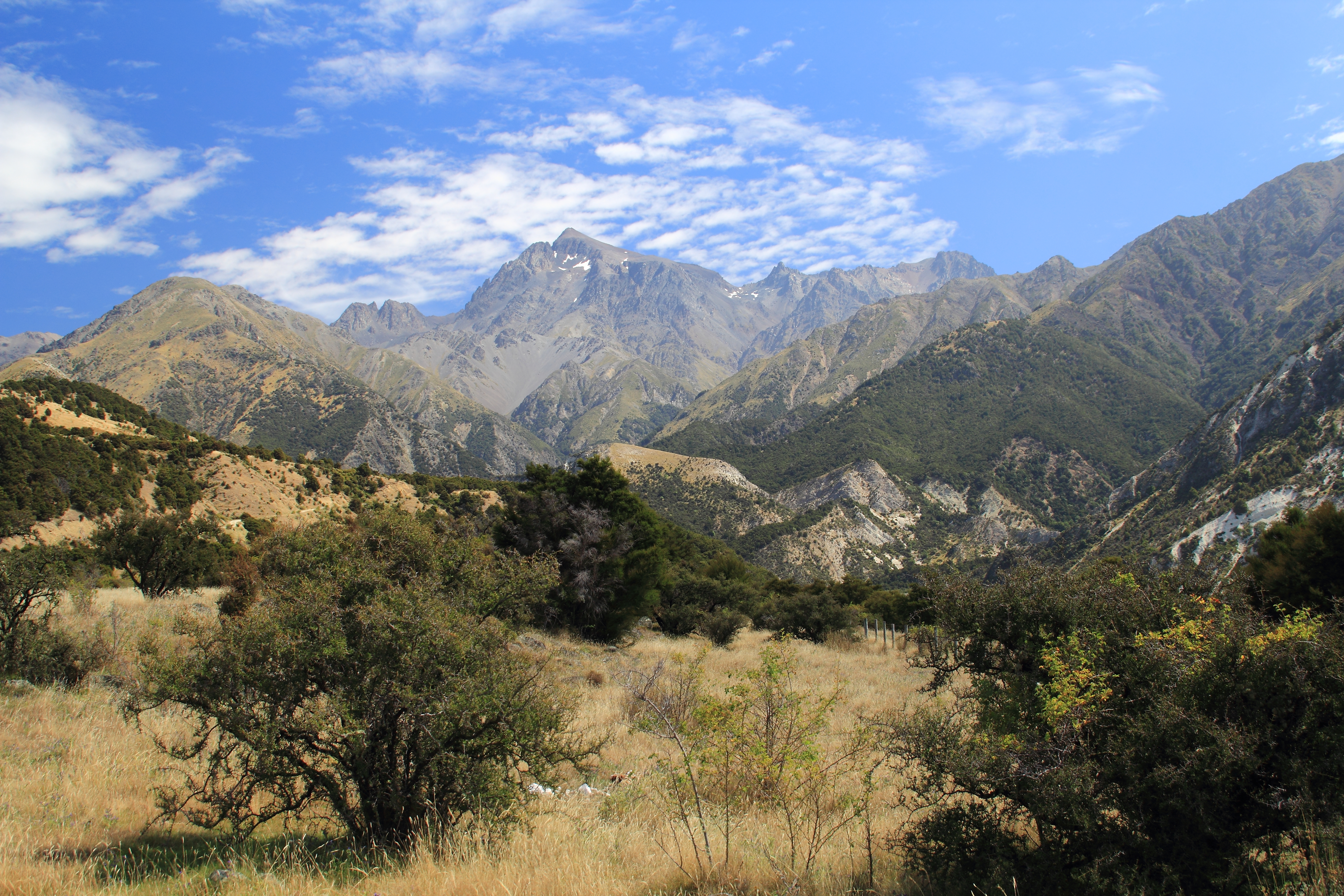
Mount Tapuae-o-Uenuku and the Clarence River
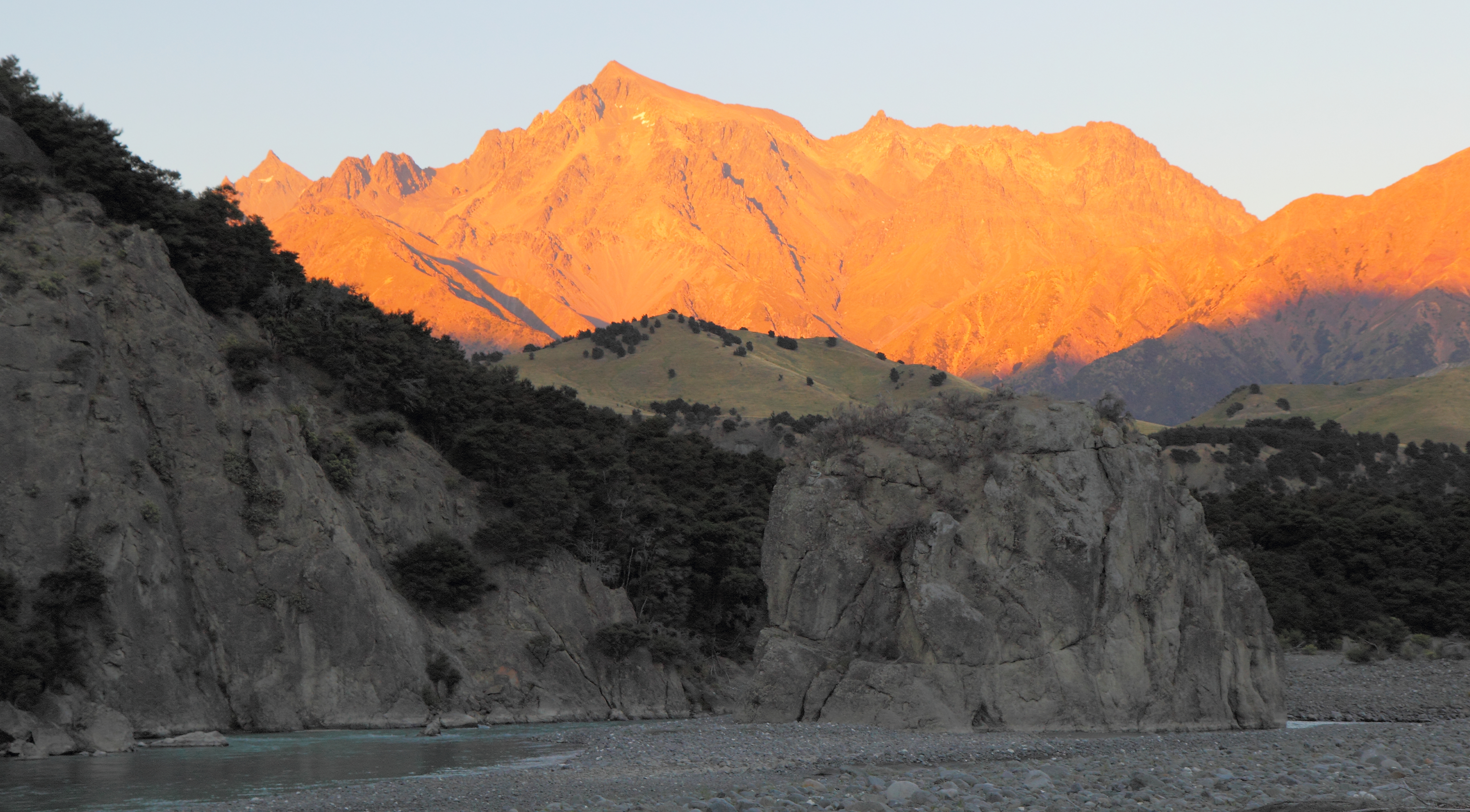
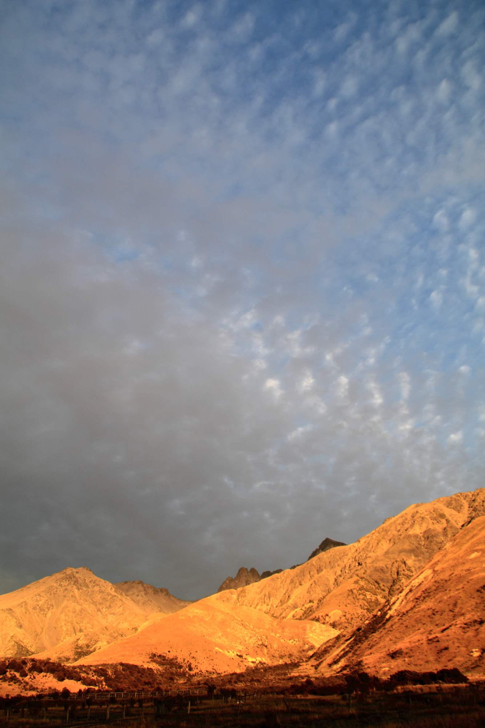
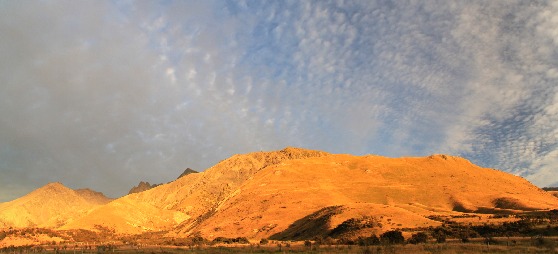
Tapuae-o-Uenuku sunrise
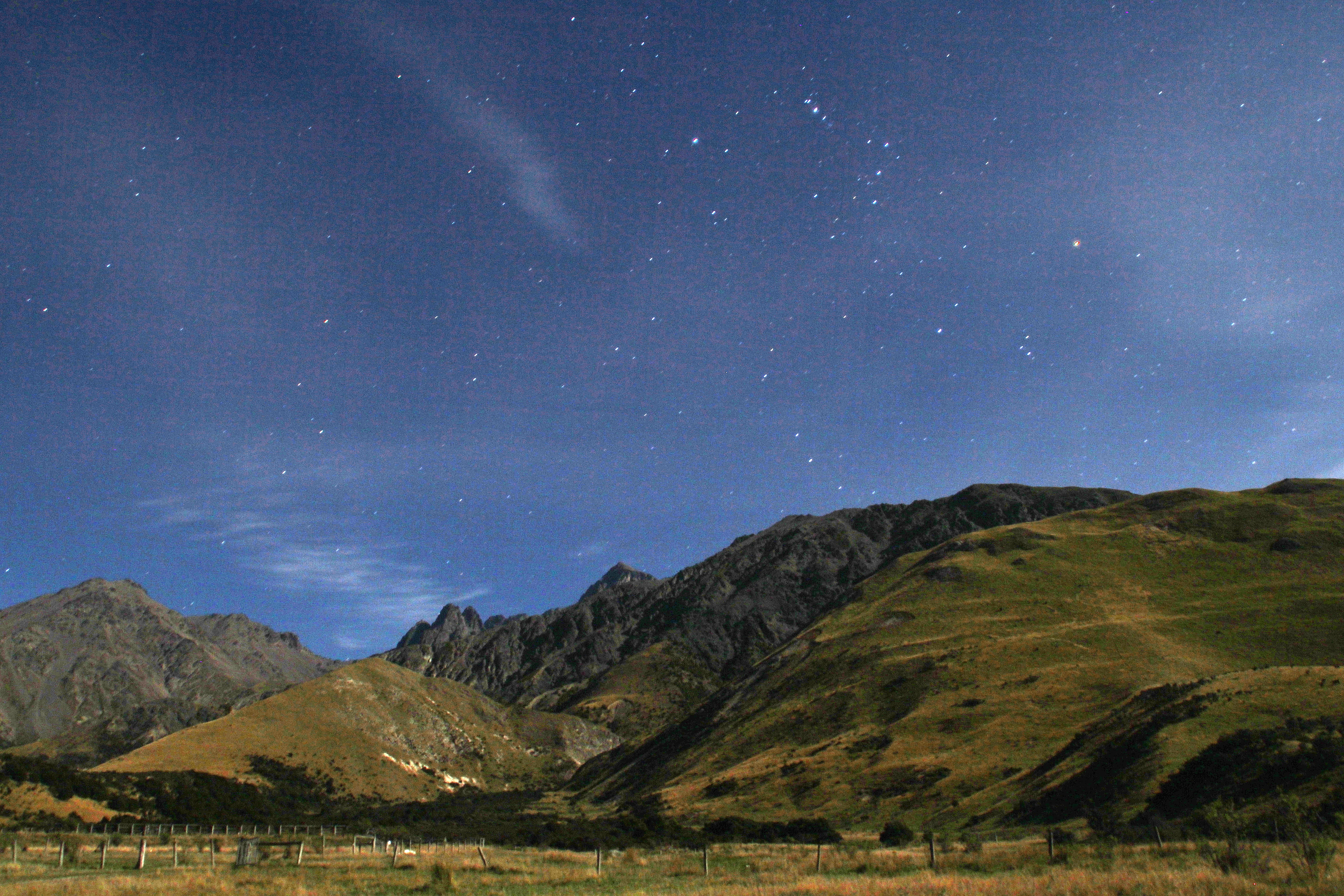
The Pot and Mount Tapuaenuku
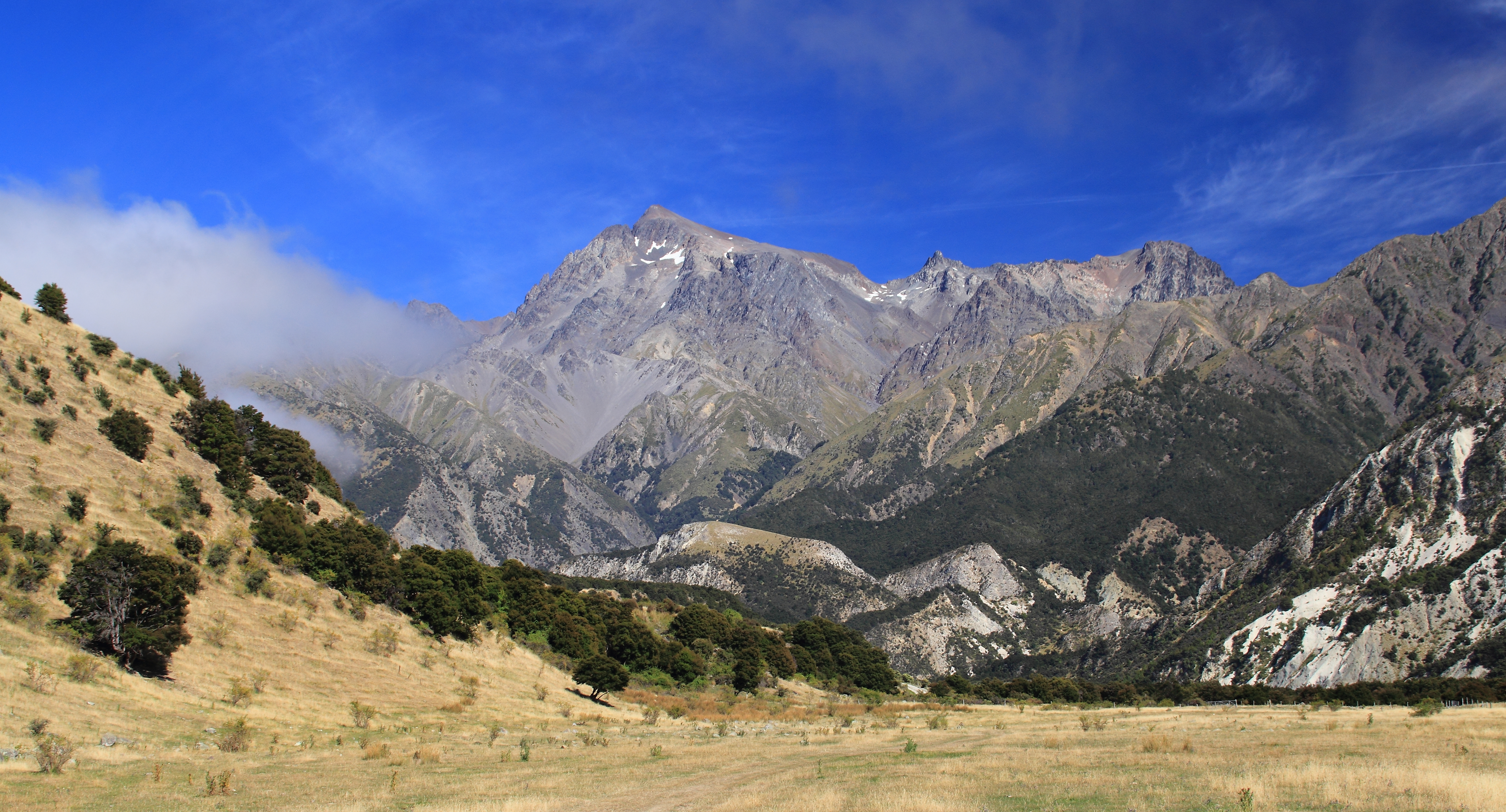
Tapuae-o-Uenuku
The heart of a volcano
Branch Cottage sunrise
Inland Kaikoura sunrise
Topographic Map of Tapuae-O-Ueneku, Canterbury, New Zealand
Find elevation by address:

Places near Tapuae-O-Ueneku, Canterbury, New Zealand:
Clarence
3803 Waihopai Valley Road
3279 Waihopai Valley Rd
Waihopai Valley
Awatere Valley
Marlborough
Marlborough District
63/594 State Hwy
12 Mcisaac Pl
Renwick
Mount Richmond Forest Park
Witherlea
151 Howick Rd
229 Jacksons Rd
Cloudy Bay Vineyards
15 Belvue Cres
91 Alabama Road
91 Alabama Road
Eltham Road
59 Laking Rd
Recent Searches:
- Elevation of Corso Fratelli Cairoli, 35, Macerata MC, Italy
- Elevation of Tallevast Rd, Sarasota, FL, USA
- Elevation of 4th St E, Sonoma, CA, USA
- Elevation of Black Hollow Rd, Pennsdale, PA, USA
- Elevation of Oakland Ave, Williamsport, PA, USA
- Elevation of Pedrógão Grande, Portugal
- Elevation of Klee Dr, Martinsburg, WV, USA
- Elevation of Via Roma, Pieranica CR, Italy
- Elevation of Tavkvetili Mountain, Georgia
- Elevation of Hartfords Bluff Cir, Mt Pleasant, SC, USA