Elevation of Holiday Dr, Clipper Mills, CA, USA
Location: United States > California > Butte County > Clipper Mills >
Longitude: -121.16332
Latitude: 39.5341537
Elevation: 1066m / 3497feet
Barometric Pressure: 89KPa
Elevation Map:
Satellite Map:
Related Photos:

The North Fork at Indian Valley

Yuba River Country
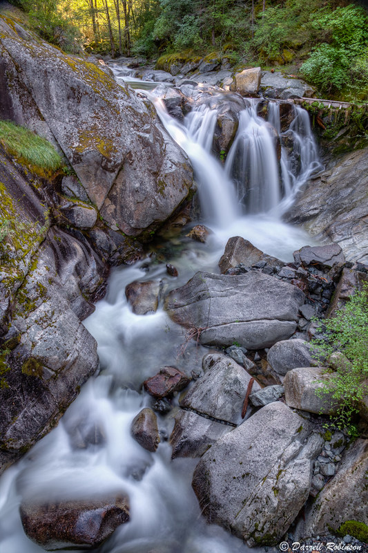
Fiddle Creek Falls

Peaceful River

Cal-Ida Waterfall

Winter Grazing

Feather Falls-4

Feather Falls-5

Feather Falls-8

Most of a Big Waterfall

Feather River

Feather Falls-7

Feather Falls

20080119 Above Feather Falls

Feather Falls Overlook

Feather Falls
Feather Falls 2013 #hiking #california #buttecounty

Feather Falls 2013 #hiking #california #buttecounty

Feather Falls 2013 #hiking #buttecounty #calfornia

131' bank

Middle Fork of the Feather River
Topographic Map of Holiday Dr, Clipper Mills, CA, USA
Find elevation by address:

Places near Holiday Dr, Clipper Mills, CA, USA:
Merry Way
11279 Winding Way
11412 Siesta Cir
La Porte Rd, Clipper Mills, CA, USA
Clipper Mills
12225 La Porte Rd
Camp Paradise
12725 La Porte Rd
La Porte Rd, Challenge, CA, USA
10013 La Porte Rd
13057 Baker Rd
Challenge
Whispering Pines
Oregon Hill Road
Oregon Hill Road
La Porte Rd, Brownsville, CA, USA
New Bullards Bar Reservoir
41 Walden Pond Ln
5569 Forbestown Rd
5569 Forbestown Rd
Recent Searches:
- Elevation of Corso Fratelli Cairoli, 35, Macerata MC, Italy
- Elevation of Tallevast Rd, Sarasota, FL, USA
- Elevation of 4th St E, Sonoma, CA, USA
- Elevation of Black Hollow Rd, Pennsdale, PA, USA
- Elevation of Oakland Ave, Williamsport, PA, USA
- Elevation of Pedrógão Grande, Portugal
- Elevation of Klee Dr, Martinsburg, WV, USA
- Elevation of Via Roma, Pieranica CR, Italy
- Elevation of Tavkvetili Mountain, Georgia
- Elevation of Hartfords Bluff Cir, Mt Pleasant, SC, USA