Elevation of Hatzerim, Israel
Location: Israel > South District > Be'er Sheva >
Longitude: 34.717427
Latitude: 31.240603
Elevation: 245m / 804feet
Barometric Pressure: 98KPa
Elevation Map:
Satellite Map:
Related Photos:

hapiness on a phone call (+3000 views, thanks !)
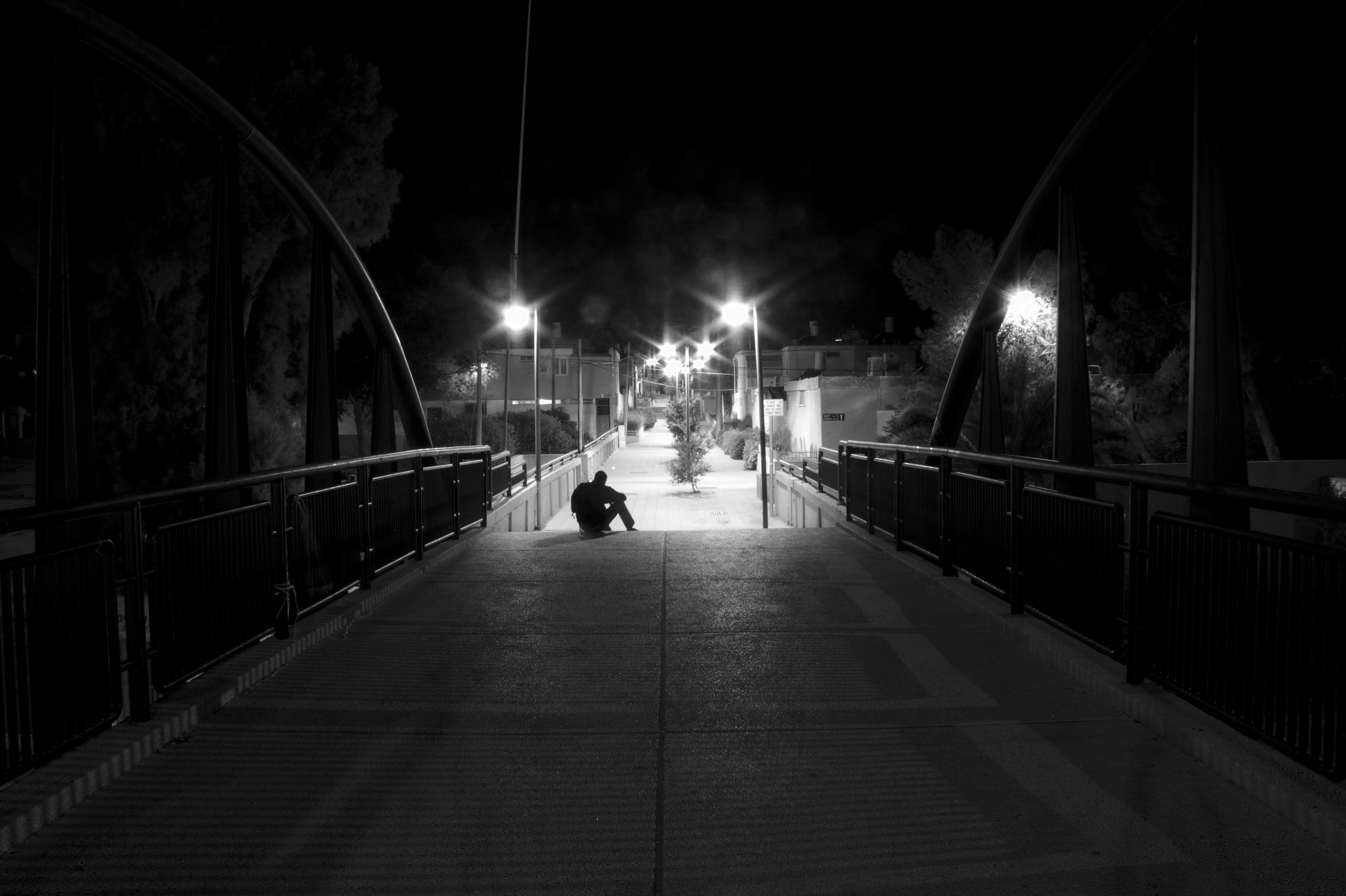
a bridge to the light (+1000 views, thanks !)

2 View from Caiaphus house steps

View from Caiaphus house steps

3 View from Caiaphus house steps

View from Muchraqa or Mt Carmel (1)

View from Muchraqa or Mt Carmel (3)

View from Muchraqa or Mt Carmel (2)

View from Muchraqa or Mt Carmel
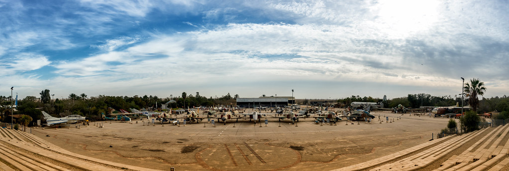
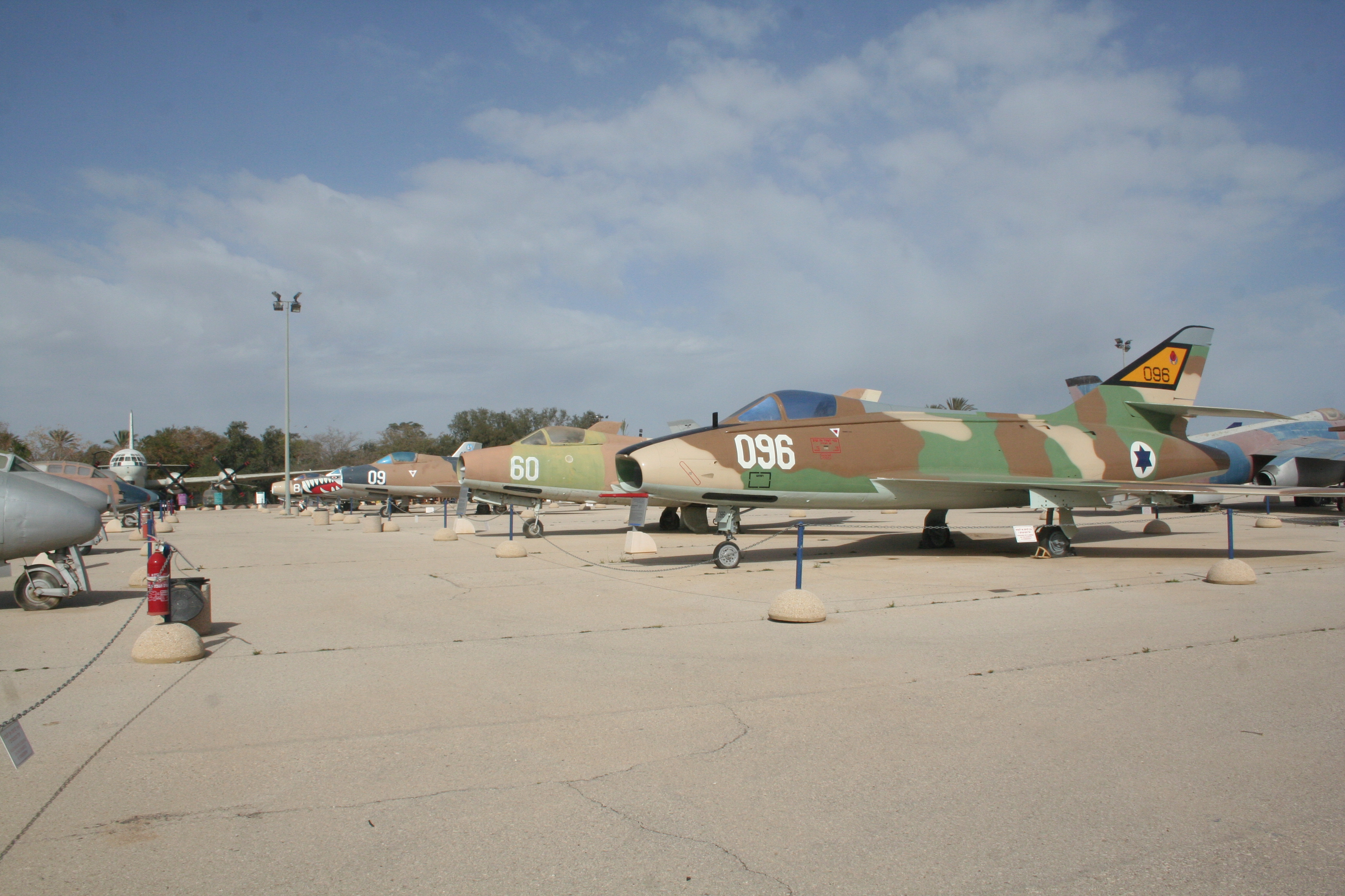
Israel Airforce Museum -Pano

Sunrise (5)

Sunrise (9)

30265-Beer-Sheva

Judean desert (6)

Judean desert (1)

Sea of Galilee (2)

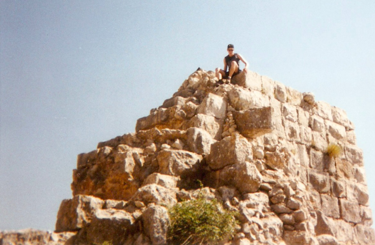
Masada (2)

Sunrise (7)
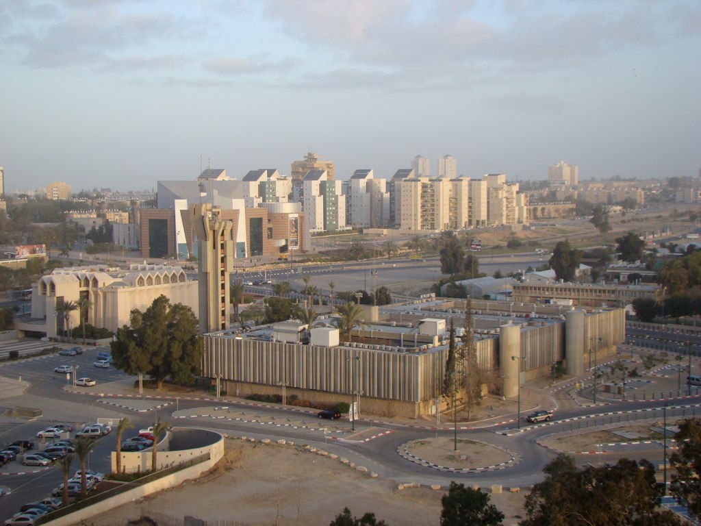
Beer Sheva

Beth Shean (2)
ben-israel-98 nimrod 17

Beer Sheva

DSC_4407-11

Med Sea and Tel Aviv from Old Jaffa copy
Thunder III
DSC_4402-06
Into the City from the Main Gate
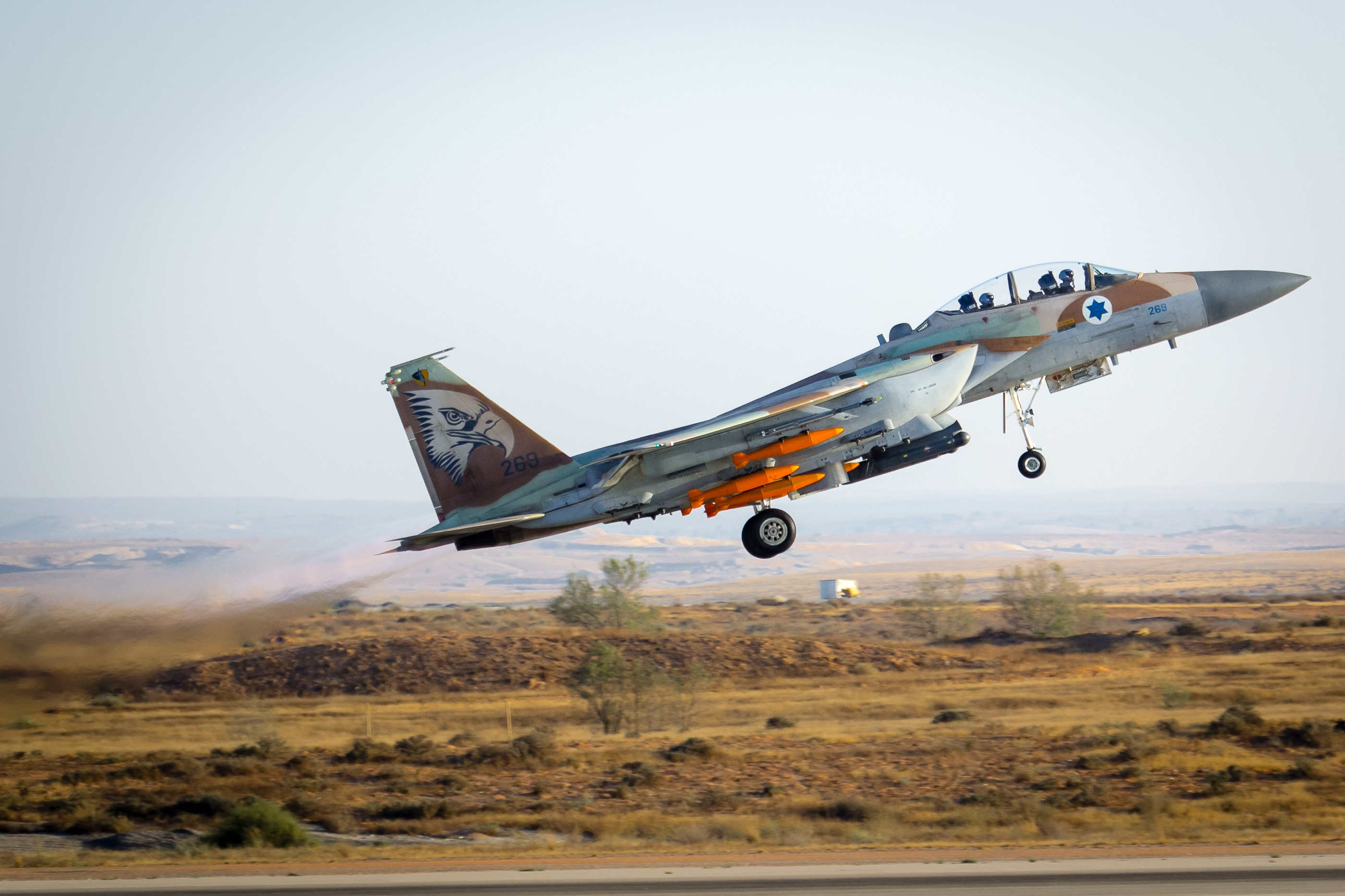
Dassault Super Mystere B-2

Judean desert (3)
Topographic Map of Hatzerim, Israel
Find elevation by address:

Places near Hatzerim, Israel:
Be'er Sheva
Baran Advanced Technologies Ltd.
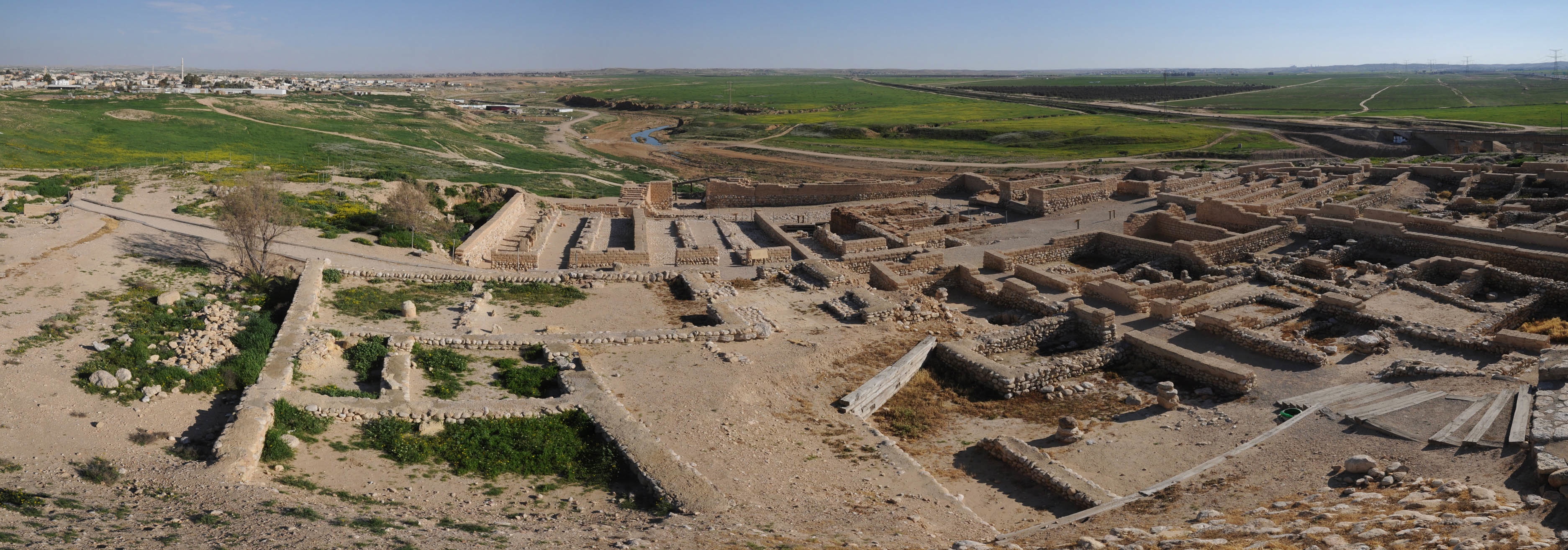
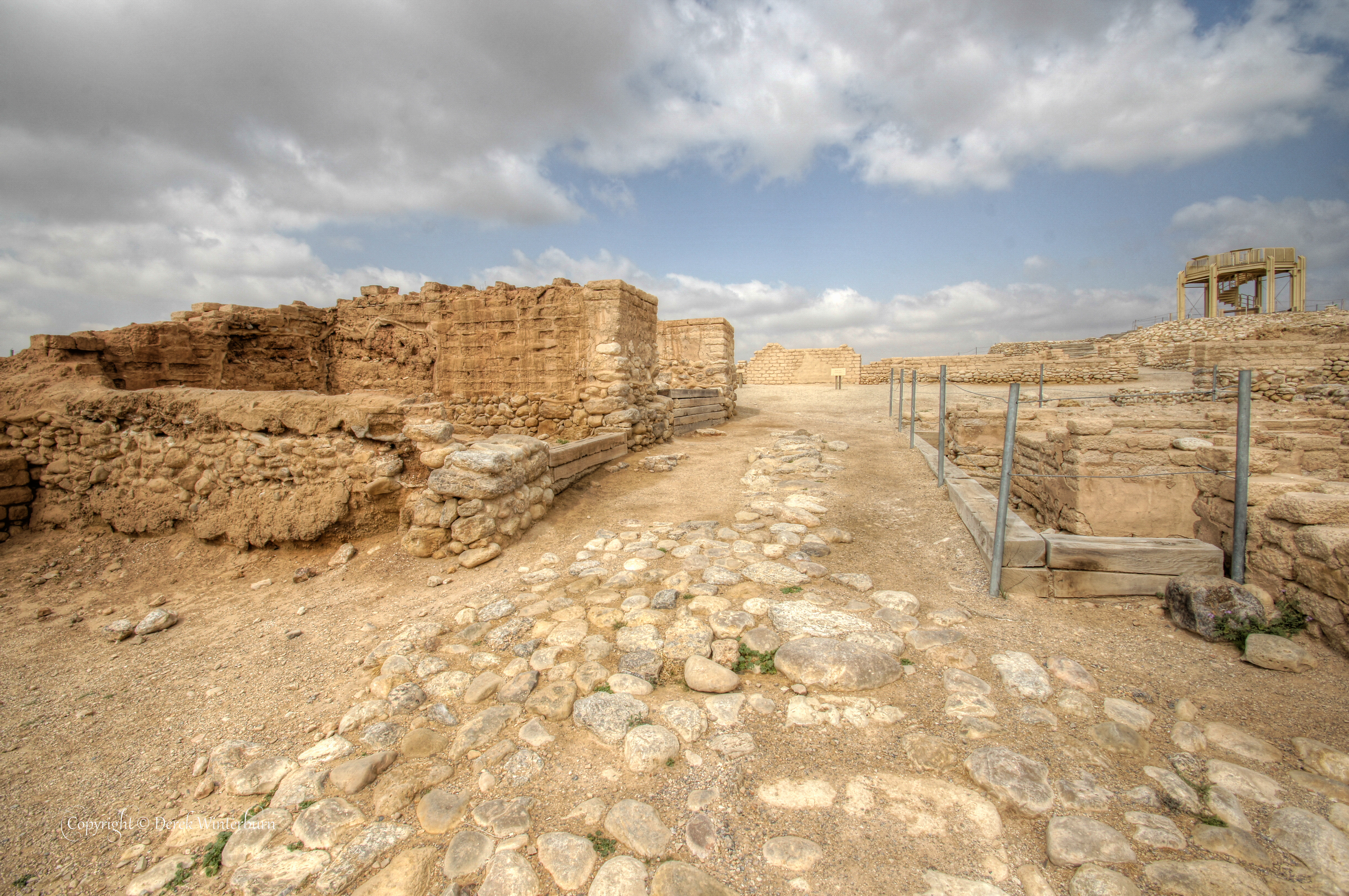
Tel Be’er Sheba
Omer
Retamim
Israel
Meitar
Tene Omarim A
Lachish
Palestine
Yeruham
Asael
Gaza
Negohot
Jabalia
Khurvat (ruin) Beit Loya
Ashkelon
Har Amasa
Tel Arad
Gaza Strip
Recent Searches:
- Elevation of Corso Fratelli Cairoli, 35, Macerata MC, Italy
- Elevation of Tallevast Rd, Sarasota, FL, USA
- Elevation of 4th St E, Sonoma, CA, USA
- Elevation of Black Hollow Rd, Pennsdale, PA, USA
- Elevation of Oakland Ave, Williamsport, PA, USA
- Elevation of Pedrógão Grande, Portugal
- Elevation of Klee Dr, Martinsburg, WV, USA
- Elevation of Via Roma, Pieranica CR, Italy
- Elevation of Tavkvetili Mountain, Georgia
- Elevation of Hartfords Bluff Cir, Mt Pleasant, SC, USA