Elevation of Har Amasa, Israel
Location: Israel > South District > Be'er Sheva >
Longitude: 35.101599
Latitude: 31.342717
Elevation: 841m / 2759feet
Barometric Pressure: 92KPa
Elevation Map:
Satellite Map:
Related Photos:
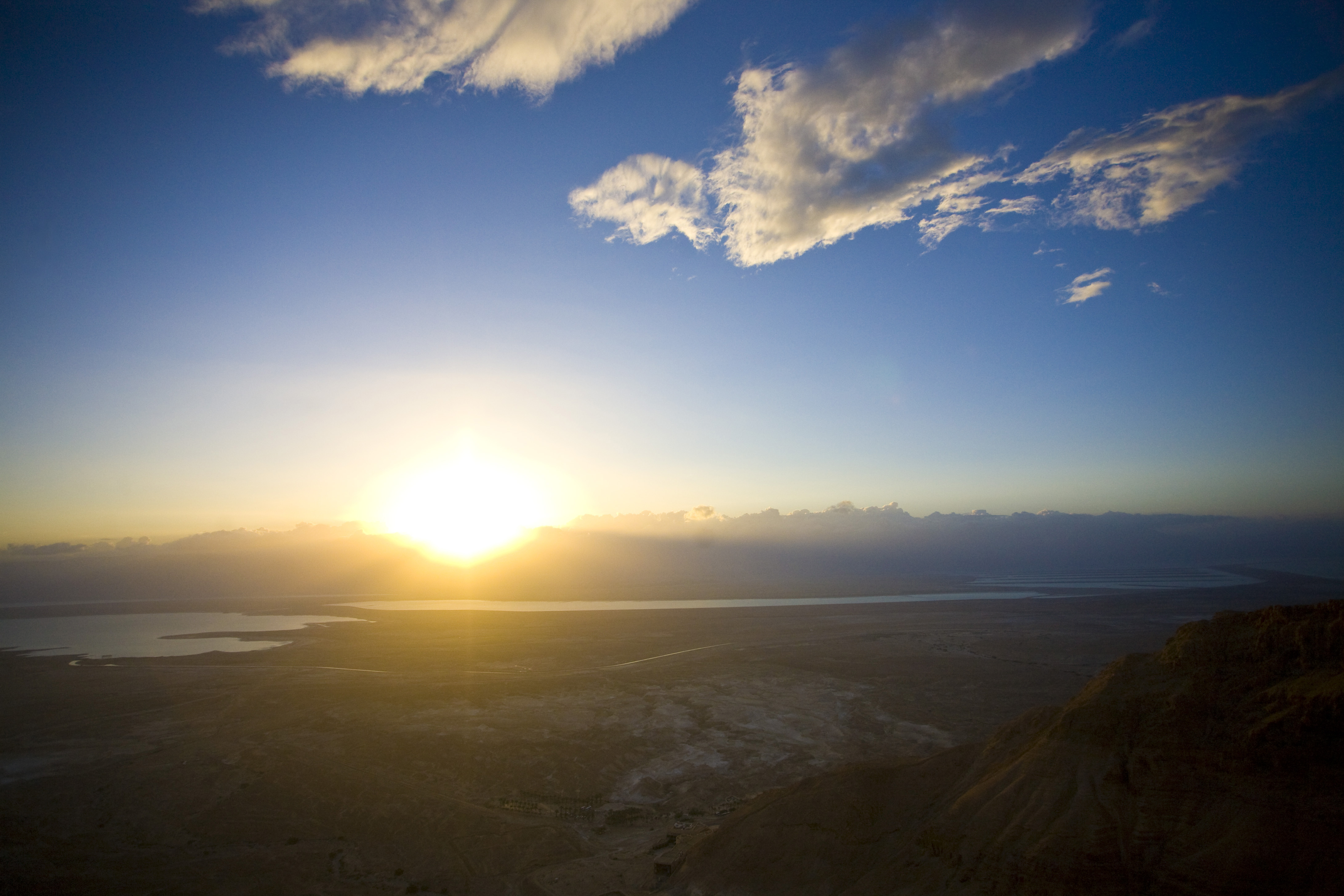
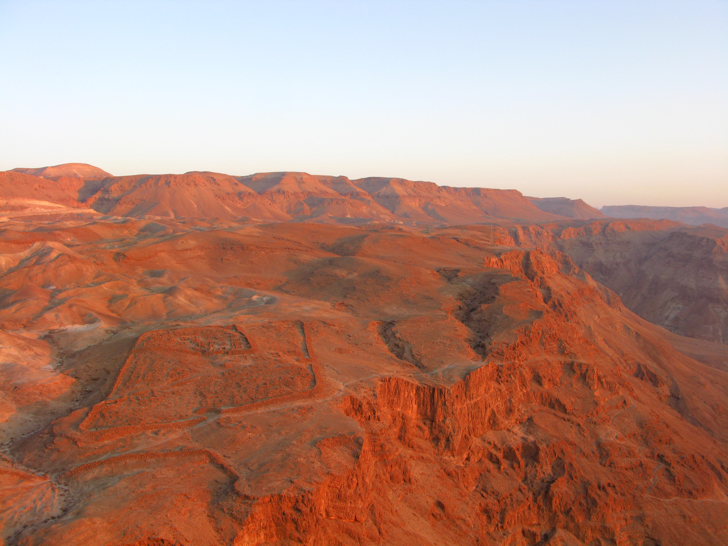
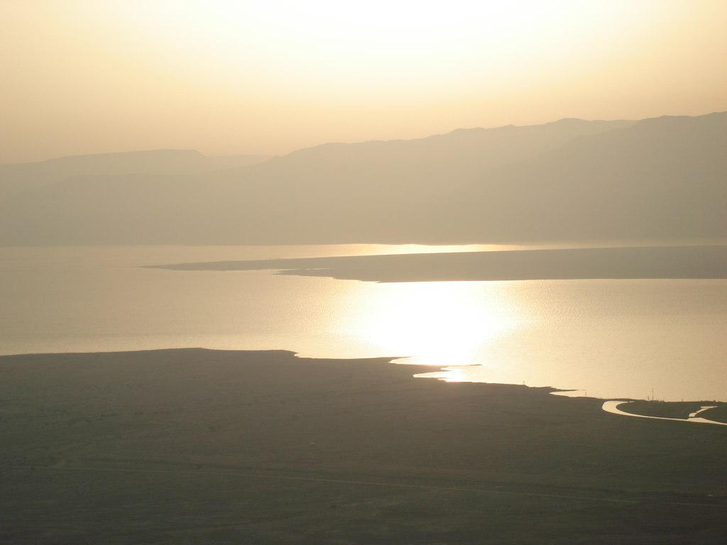
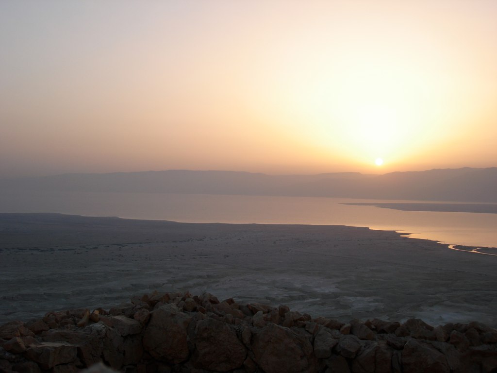
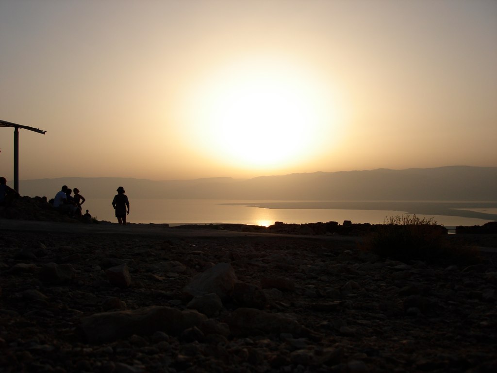
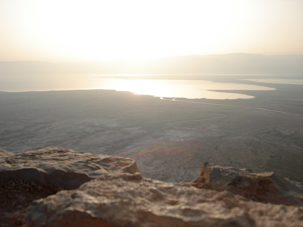
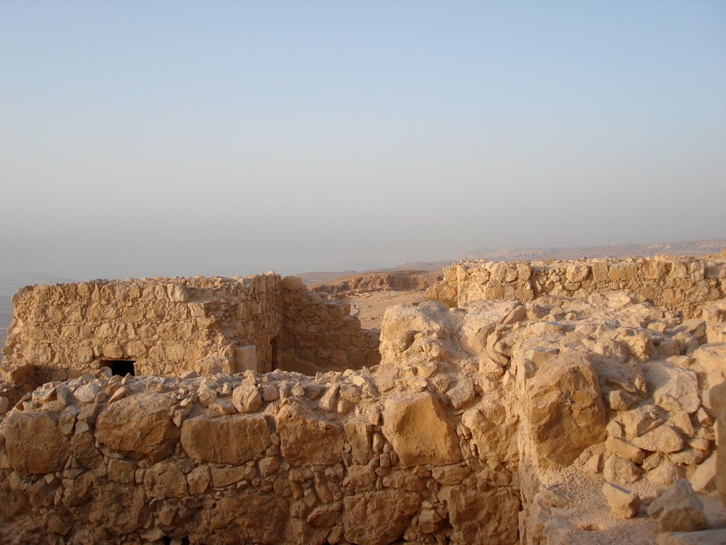
View of Dead Sea Sunrise from Masada

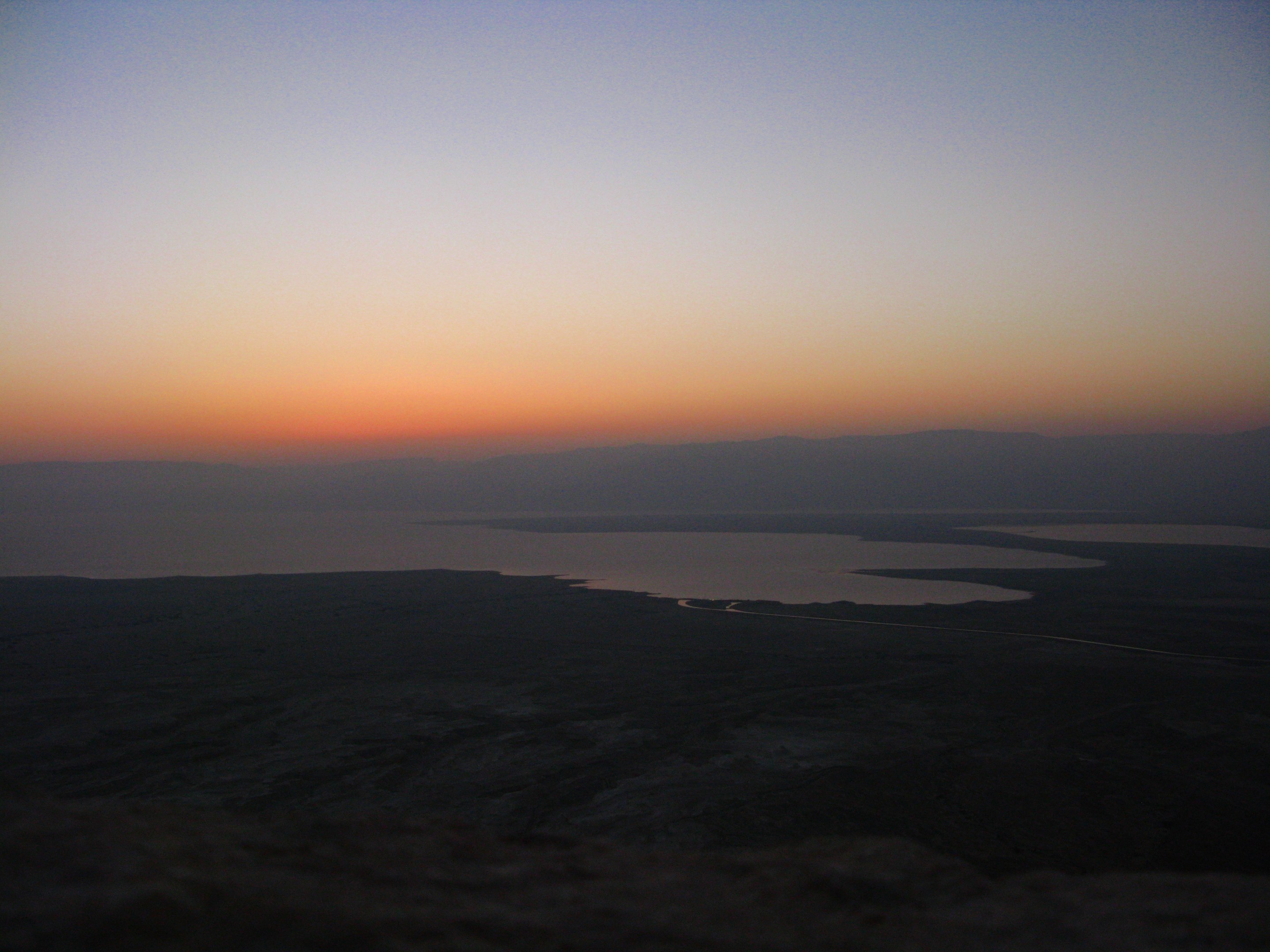
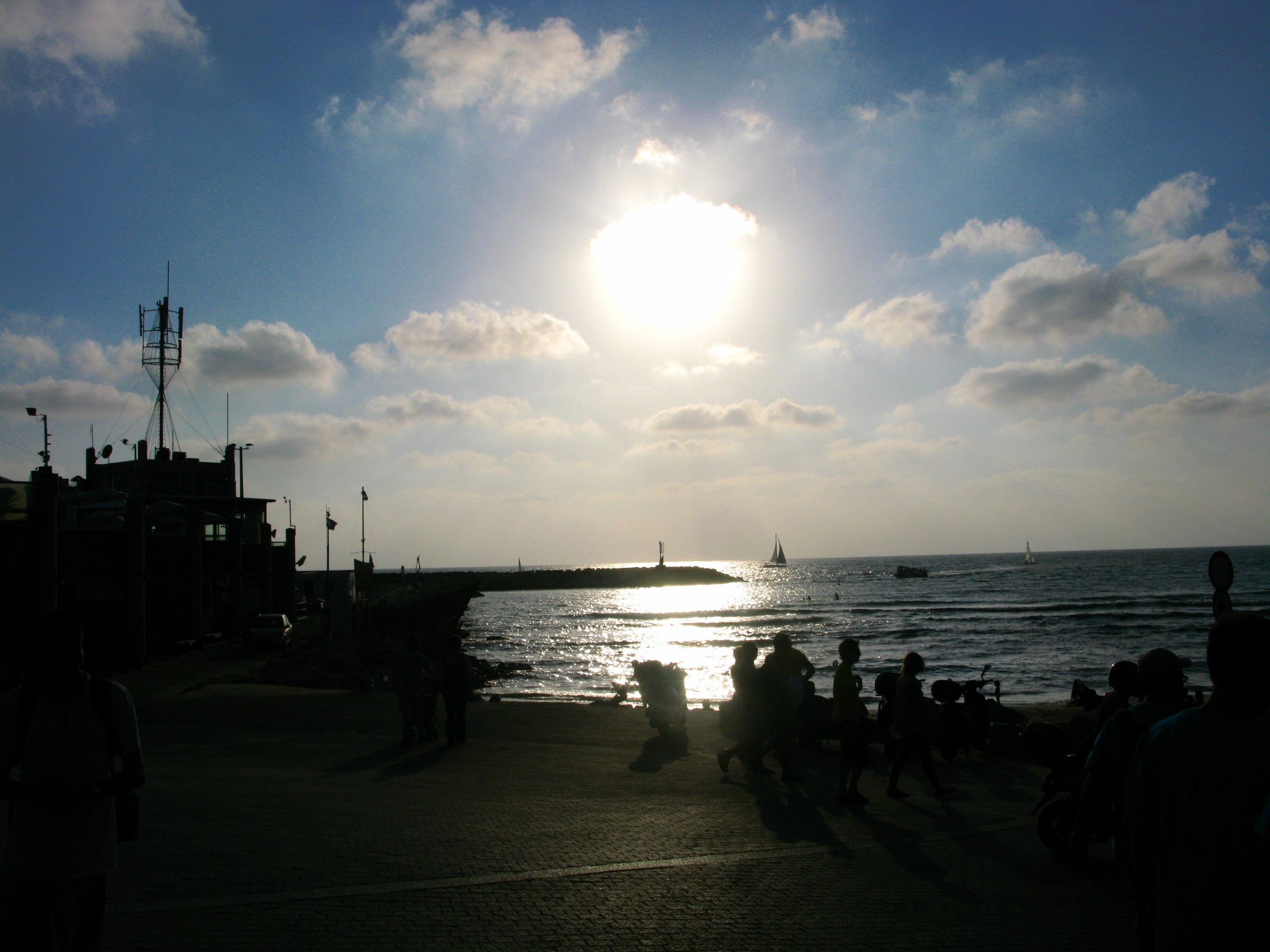
another beautiful day is ending (+1000 views, thanks !)

At Tuwani village - View towards Yata
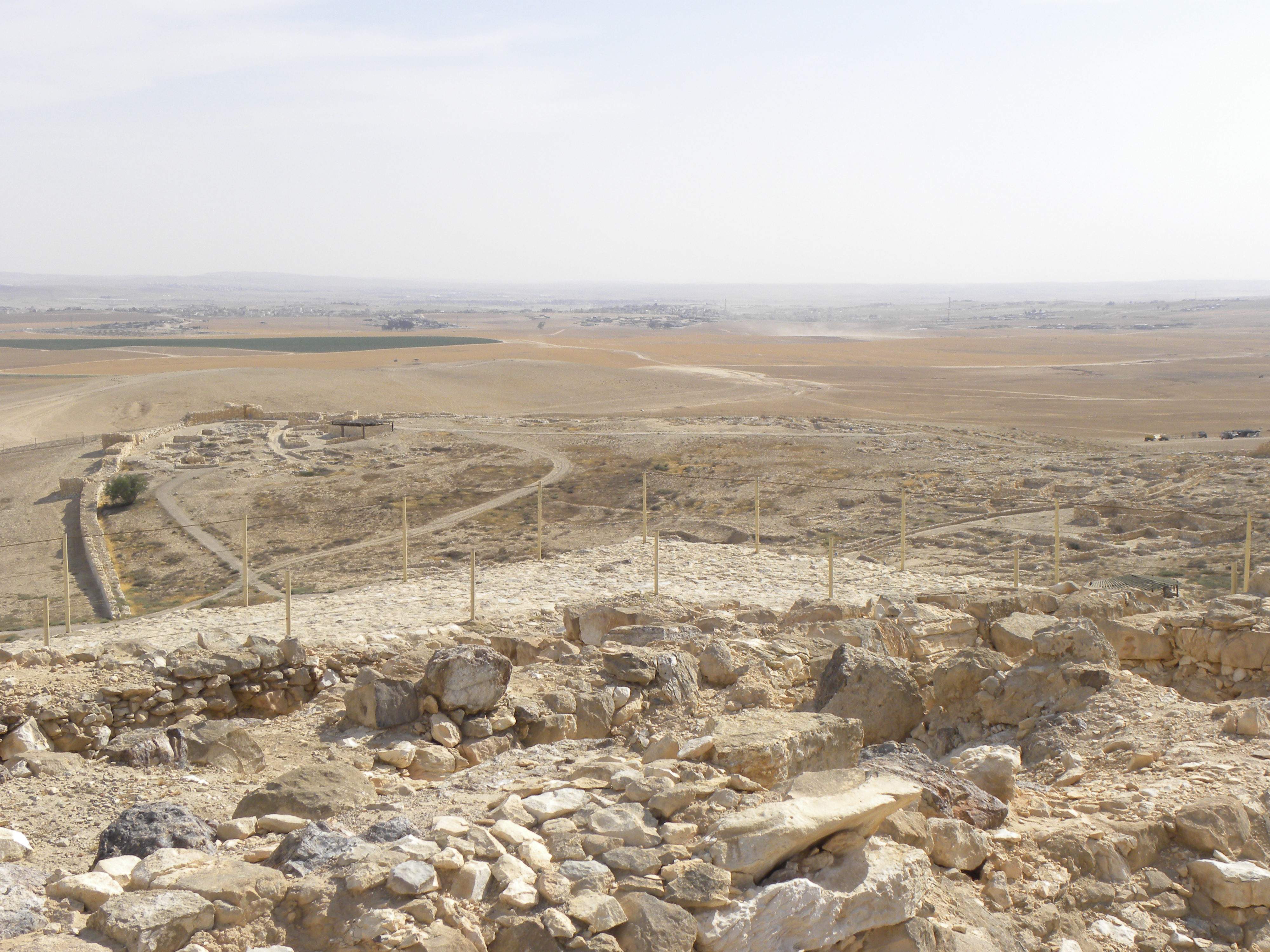
View of the Lower City of Arad from atop the later Israelite Fortress 2
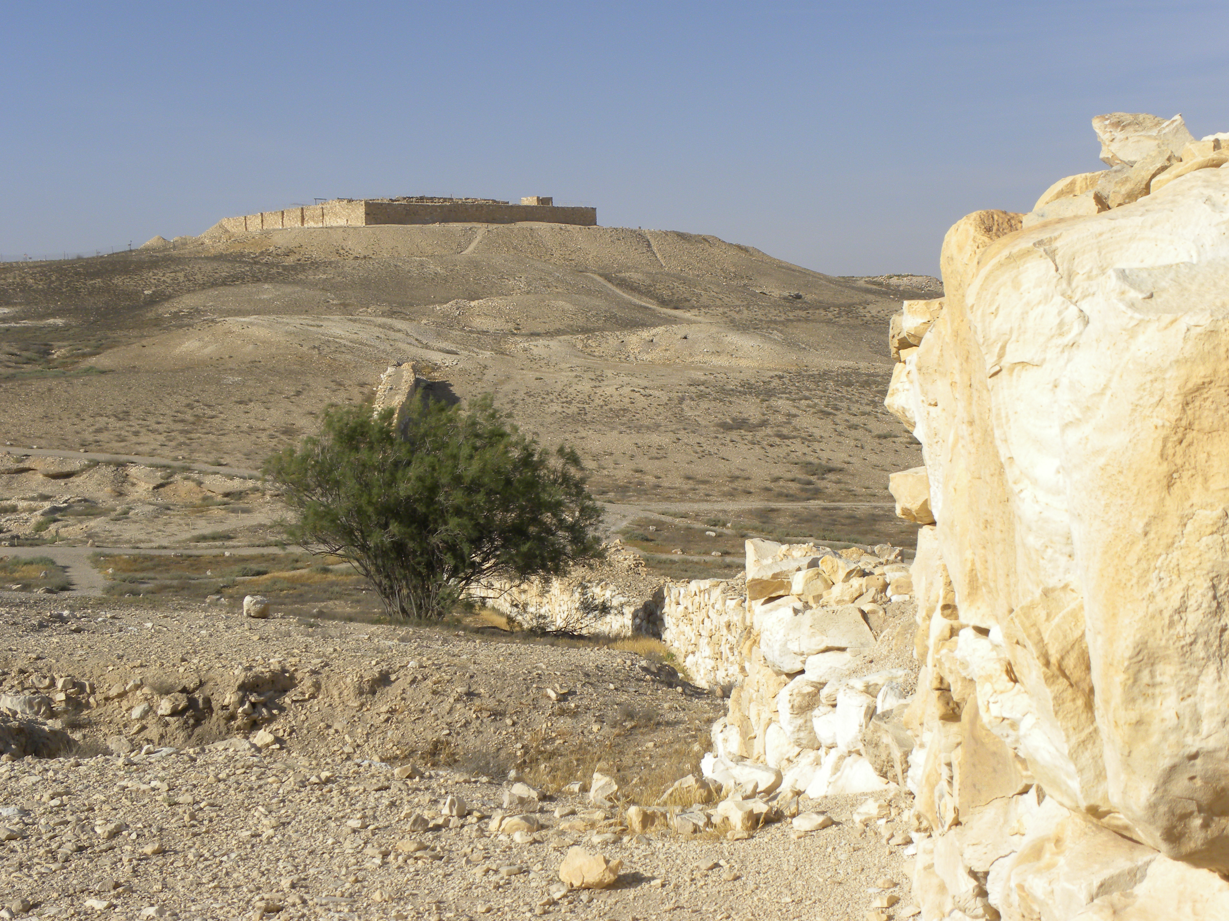
View of Israelite Fortress at Tel Arad
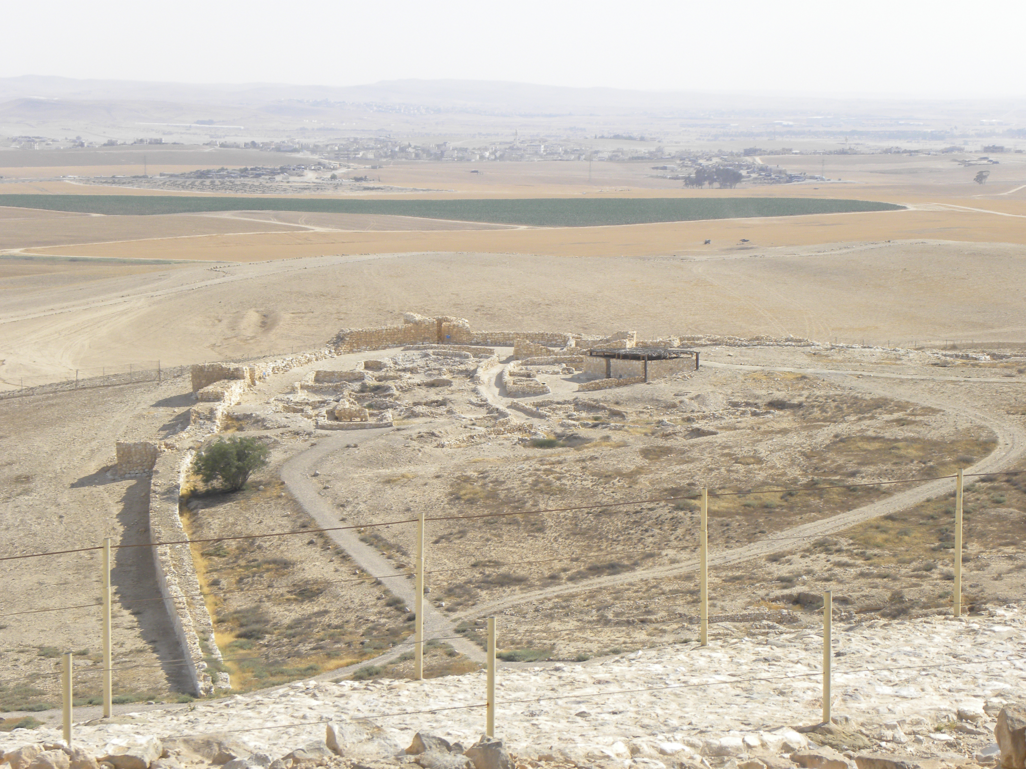
View of the Lower City of Arad from atop the later Israelite Fortress
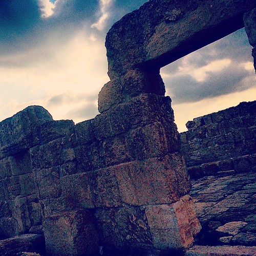
26) Temple of anim, from 400bc, a judean town from king David times.

DSC03628.JPG
DSC03279.JPG
DSC03277.JPG
IMG_4456.JPG

DSC03264.JPG
DSC03671.JPG

DSC03624.JPG

DSC03591.JPG
IMG_4446.JPG

DSC03631.JPG
DSC03430.JPG
DSC03636.JPG
DSC03642.JPG
DSC03664.JPG
DSC03594.JPG
DSC03668.JPG

DSC03641.JPG
DSC03657.JPG
IMG_4619.JPG
DSC03352.JPG
Topographic Map of Har Amasa, Israel
Find elevation by address:

Places near Har Amasa, Israel:
Asael
Tel Arad
Yata
Tene Omarim A
Meitar
Kiryat Arba
Hebron
Negohot
Halhul
Omer
Baran Advanced Technologies Ltd.
Tel Be’er Sheba
Khurvat (ruin) Beit Loya
Migdal Oz
Alon Shvut
Efrat
Be'er Sheva
Lachish
Ezra St 29
Aderet
Recent Searches:
- Elevation of Corso Fratelli Cairoli, 35, Macerata MC, Italy
- Elevation of Tallevast Rd, Sarasota, FL, USA
- Elevation of 4th St E, Sonoma, CA, USA
- Elevation of Black Hollow Rd, Pennsdale, PA, USA
- Elevation of Oakland Ave, Williamsport, PA, USA
- Elevation of Pedrógão Grande, Portugal
- Elevation of Klee Dr, Martinsburg, WV, USA
- Elevation of Via Roma, Pieranica CR, Italy
- Elevation of Tavkvetili Mountain, Georgia
- Elevation of Hartfords Bluff Cir, Mt Pleasant, SC, USA