Elevation of Tel Arad, Arad
Location: Israel > South District > Be'er Sheva > Arad >
Longitude: 35.1266529
Latitude: 31.2782985
Elevation: -10000m / -32808feet
Barometric Pressure: 295KPa
Elevation Map:
Satellite Map:
Related Photos:

Camel rides

Giddy-up

At Tuwani village - View towards Yata

View of Dead Sea Sunrise from Masada

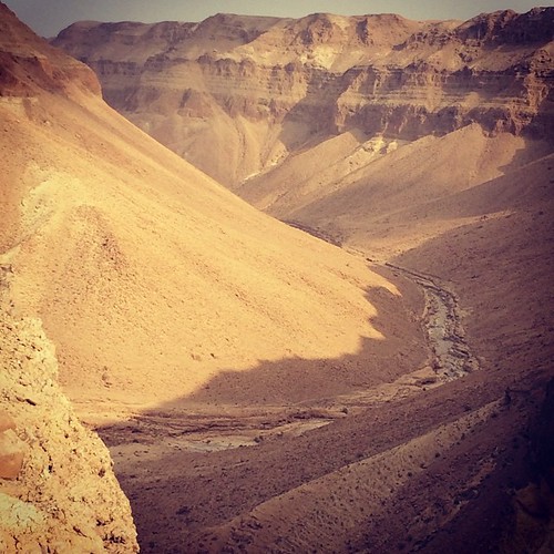
View of the Lower City of Arad from atop the later Israelite Fortress 2

DSC_8083 Irus_Shahom__Ieruham 4/7/2012

Tze'elim 2

DSC_8110 Irus_Shahom__Ieruham 4/7/2012

Negev desert

_MG_1300_DxO.jpg
ברכת הצפירה

Dead Sea

Nahal Kina 01320 20150227.jpg

Israel 2011

Isarel 2011

DSC_4154-67

DSC_5356-64

DSC_5309-15
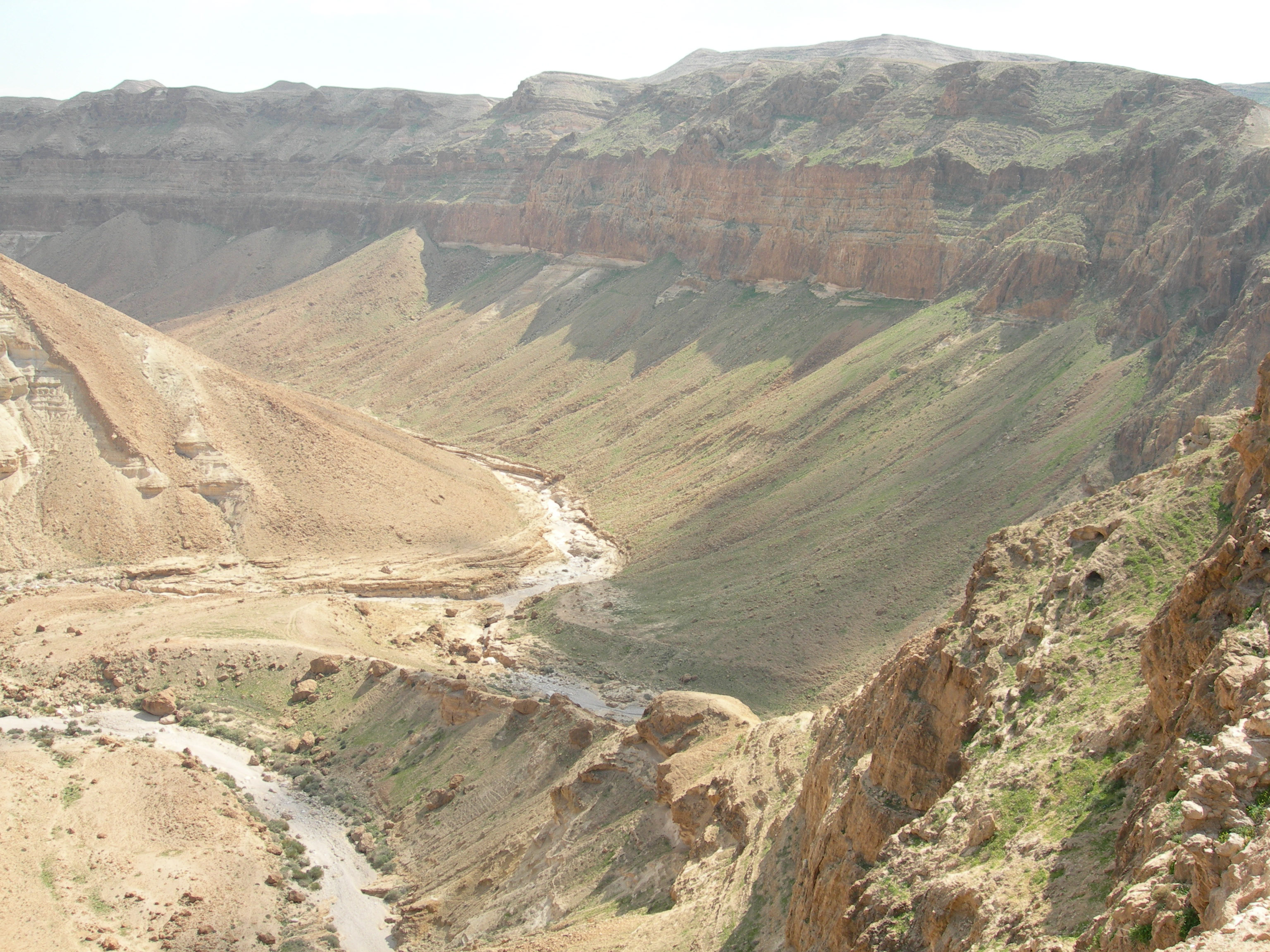
Upper_Ze'elim_Wadi_Arad_Israel_2007_03_02_003.jpg

Nahal Kina 20150227-5.jpg

Nahal Kina 20150227-10.jpg

המדבר מתכונן לשקיעה לקראת השבת

Nahal Kina 01282 20150227.jpg

Nahal Kina 20150227-2.jpg

DSC_5368-74

Isarel 2011
Topographic Map of Tel Arad, Arad
Find elevation by address:

Places near Tel Arad, Arad:
Har Amasa
Asael
Yata
Meitar
Tene Omarim A
Kiryat Arba
Hebron
Negohot
Omer
Tel Be’er Sheba
Baran Advanced Technologies Ltd.
Halhul
Be'er Sheva
Khurvat (ruin) Beit Loya
Palestine
Yeruham
Israel
Migdal Oz
Efrat
Alon Shvut
Recent Searches:
- Elevation of Corso Fratelli Cairoli, 35, Macerata MC, Italy
- Elevation of Tallevast Rd, Sarasota, FL, USA
- Elevation of 4th St E, Sonoma, CA, USA
- Elevation of Black Hollow Rd, Pennsdale, PA, USA
- Elevation of Oakland Ave, Williamsport, PA, USA
- Elevation of Pedrógão Grande, Portugal
- Elevation of Klee Dr, Martinsburg, WV, USA
- Elevation of Via Roma, Pieranica CR, Italy
- Elevation of Tavkvetili Mountain, Georgia
- Elevation of Hartfords Bluff Cir, Mt Pleasant, SC, USA