Elevation of Ashkelon, Israel
Location: Israel > South District >
Longitude: 34.7740793
Latitude: 31.6336821
Elevation: 124m / 407feet
Barometric Pressure: 100KPa
Elevation Map:
Satellite Map:
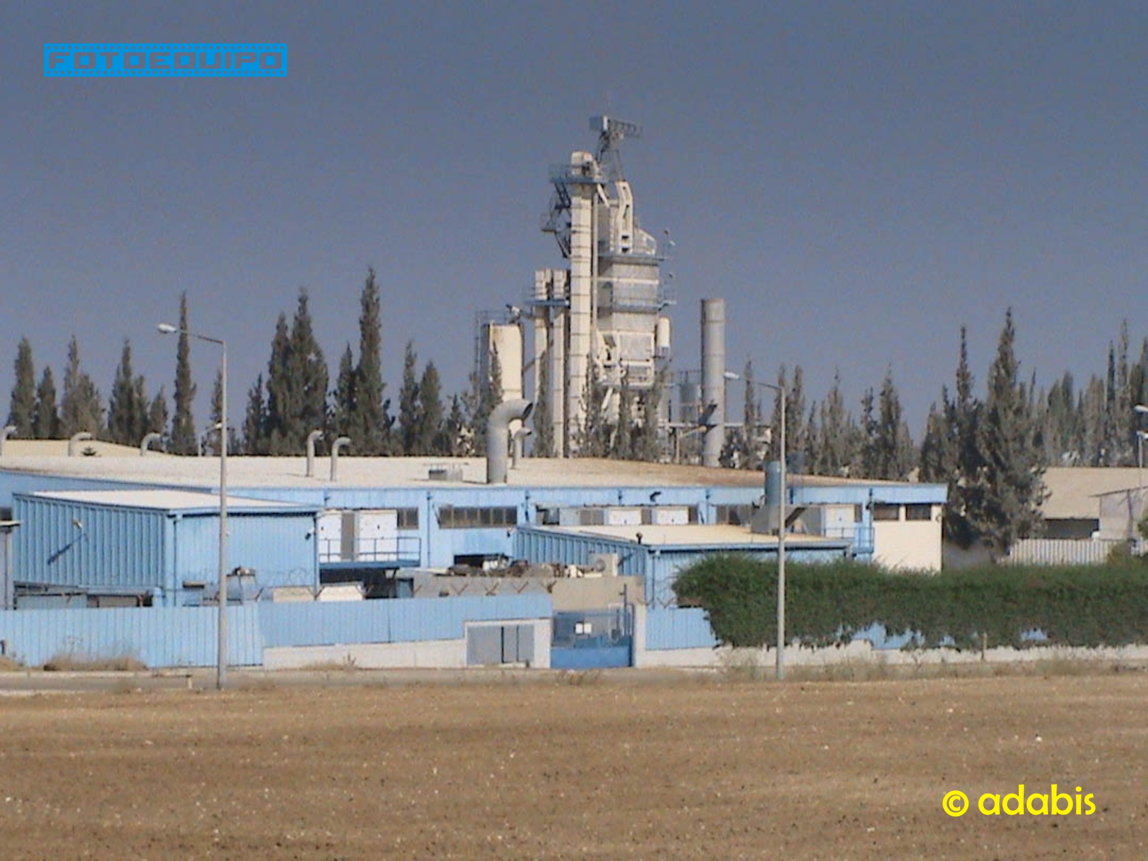
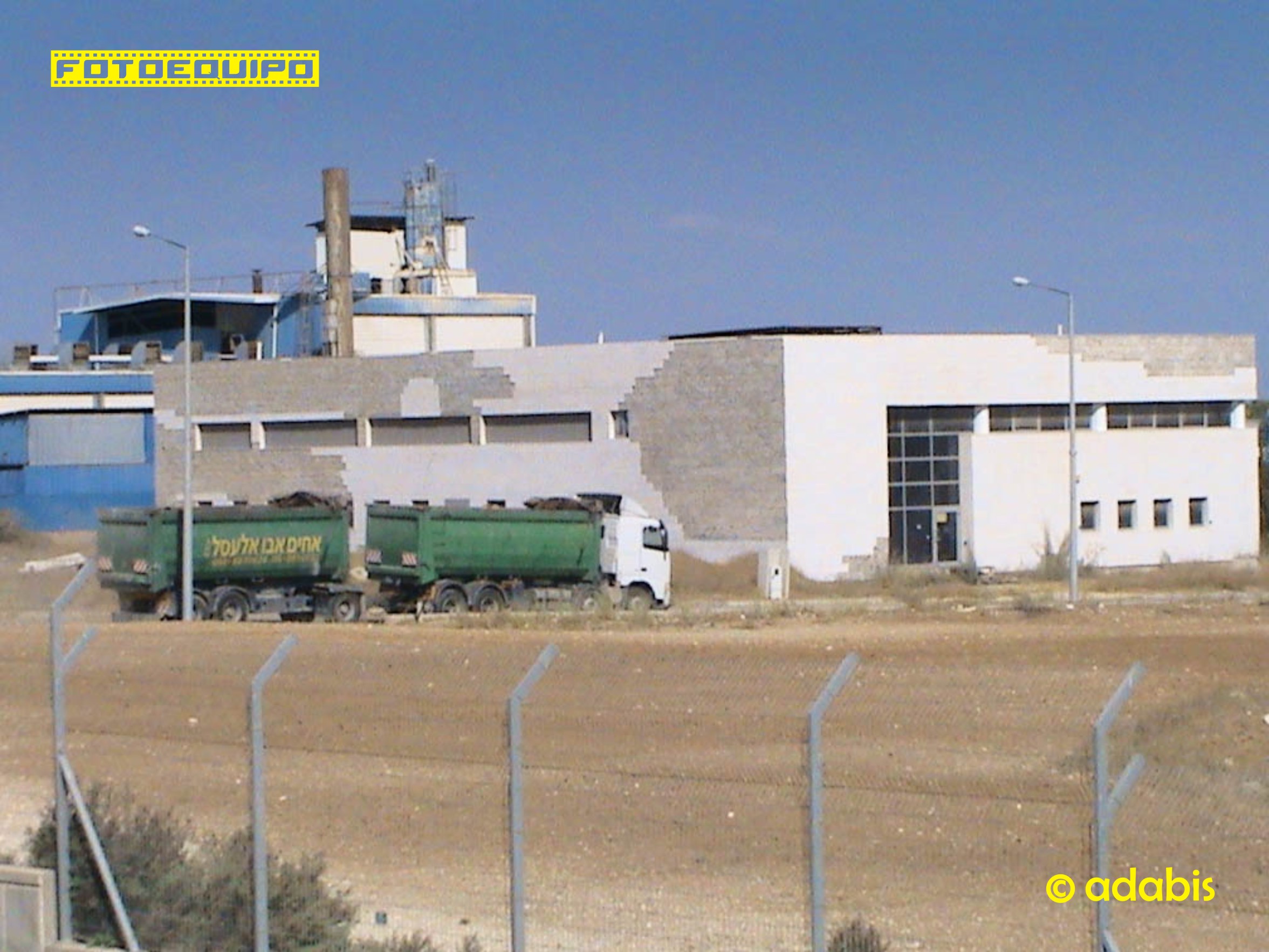
Related Photos:
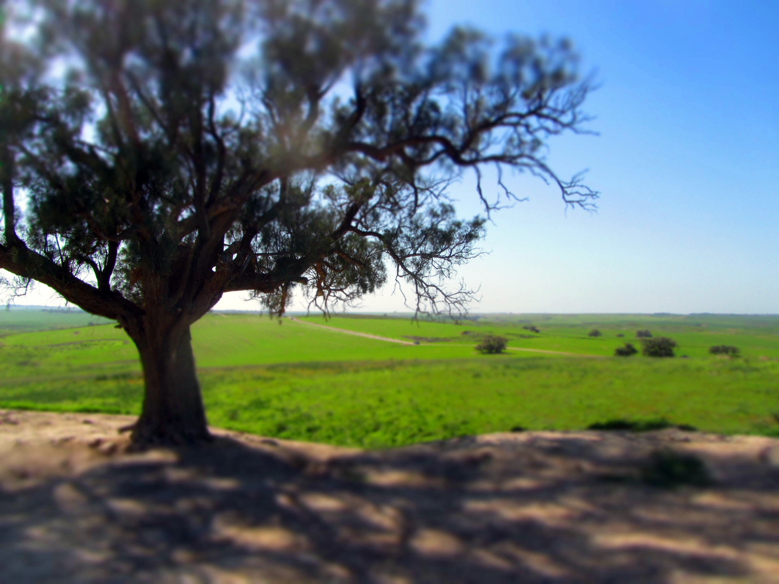
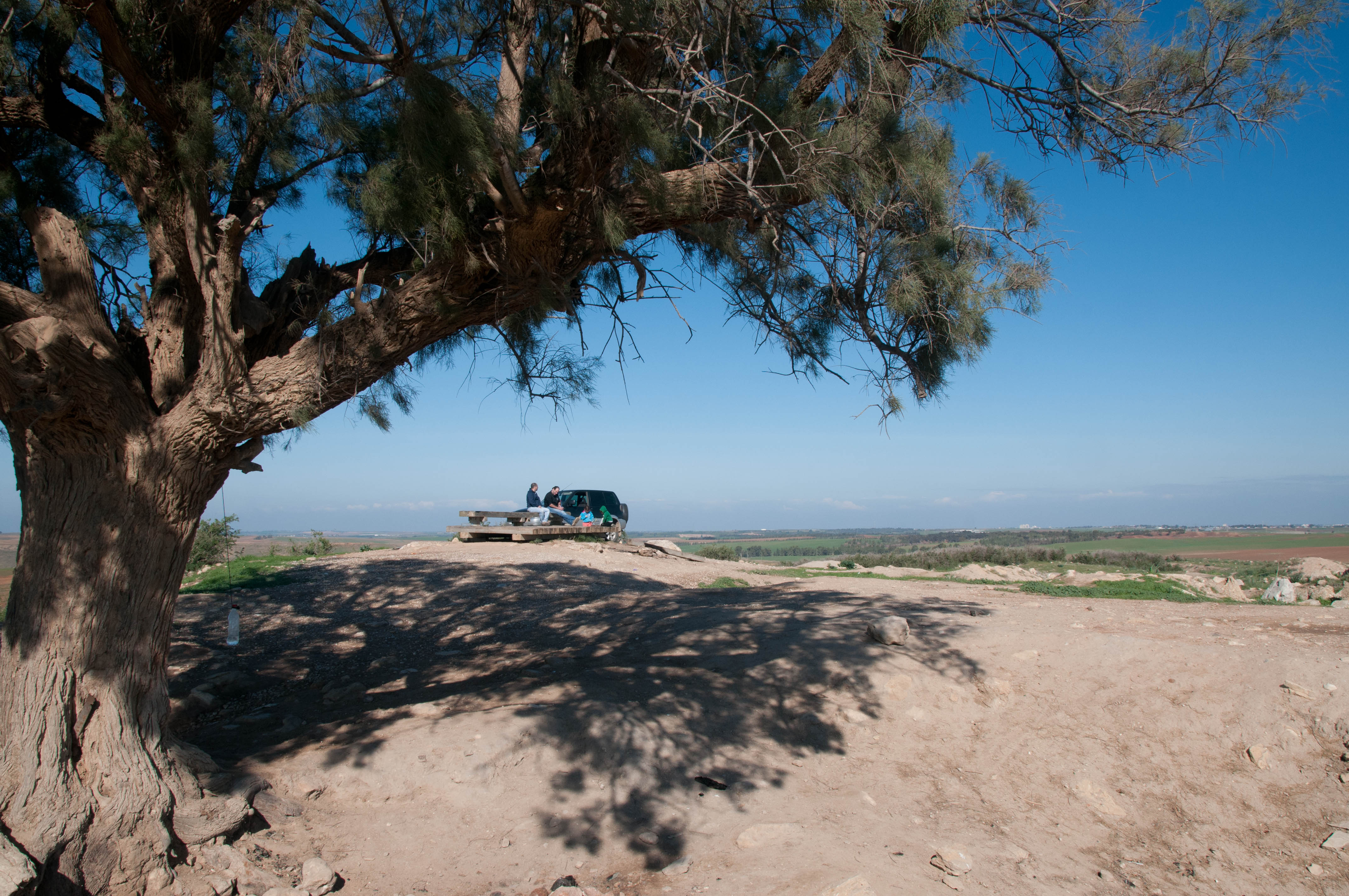
View from Tel Najila with the old Tamarisk tree
Vista I

In the old digs
Vista II

Ruins of Tel Maresh
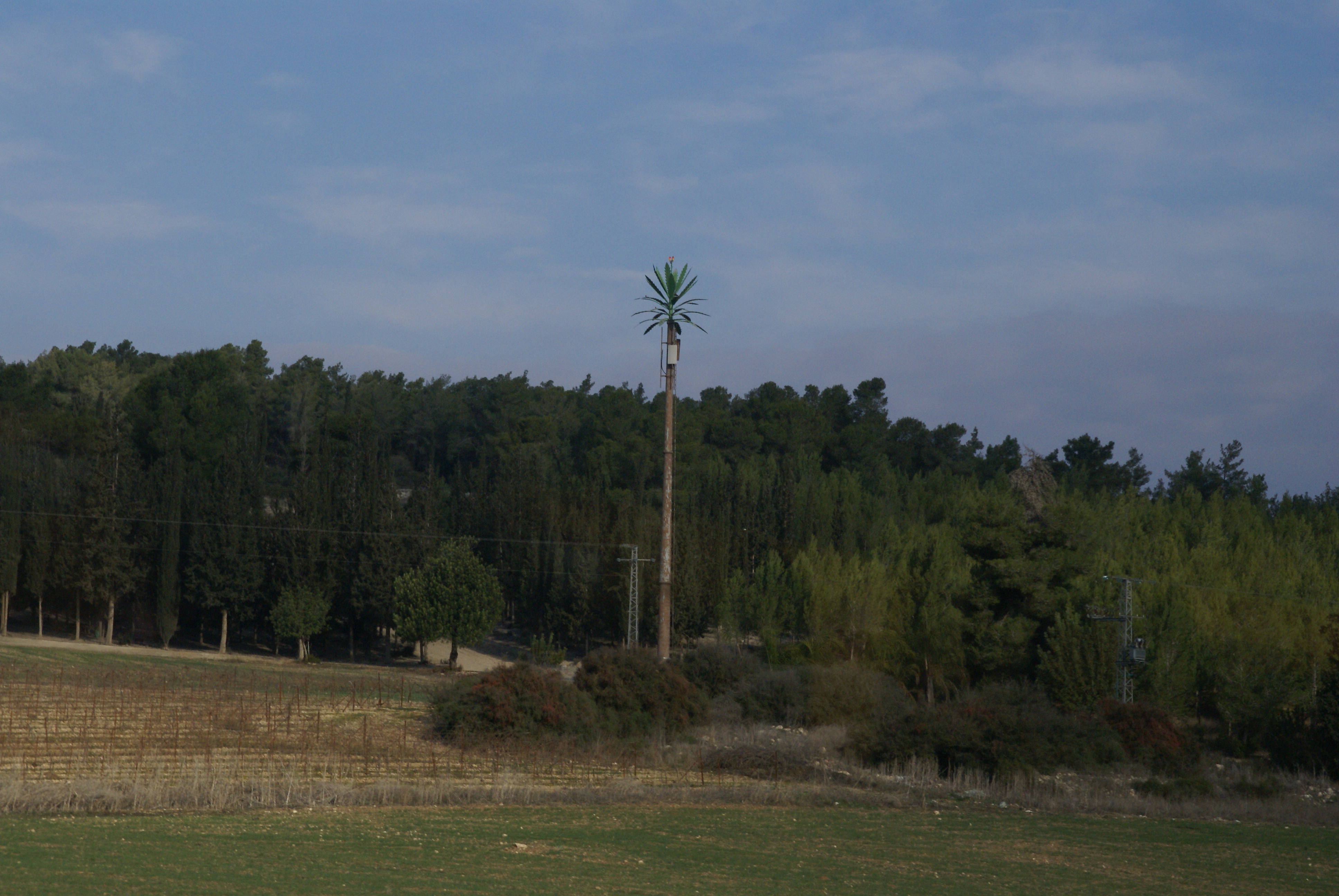
Fake palm tree

Israel Railways - SAFB diesel locomotive and passenger train in Kiryat Gat, 1956
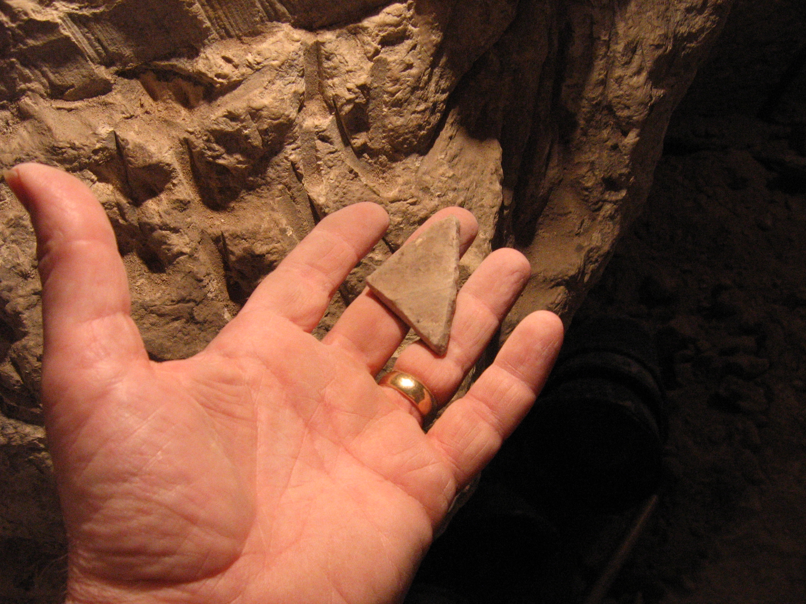
What Ellyn found
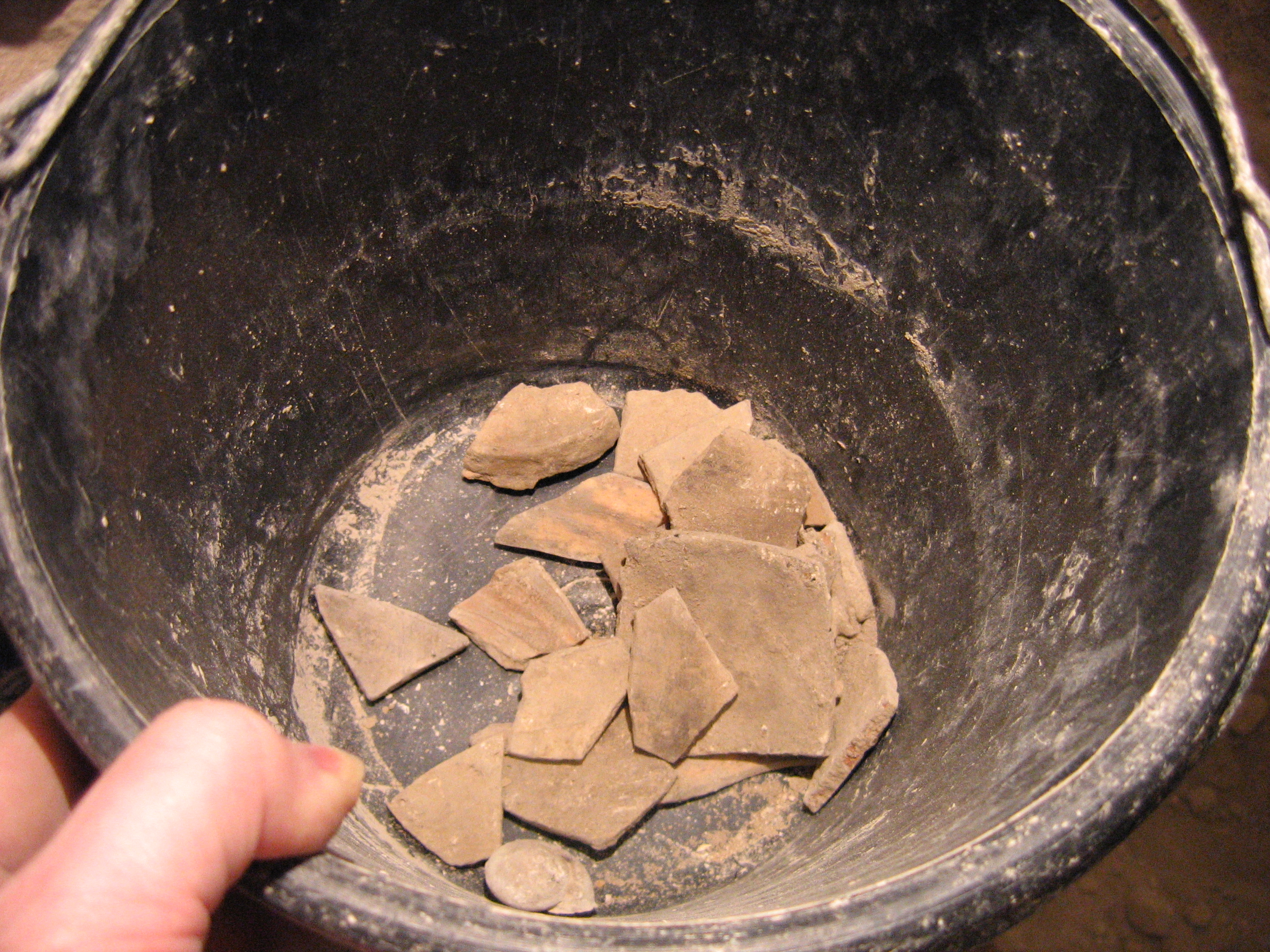
What our group found
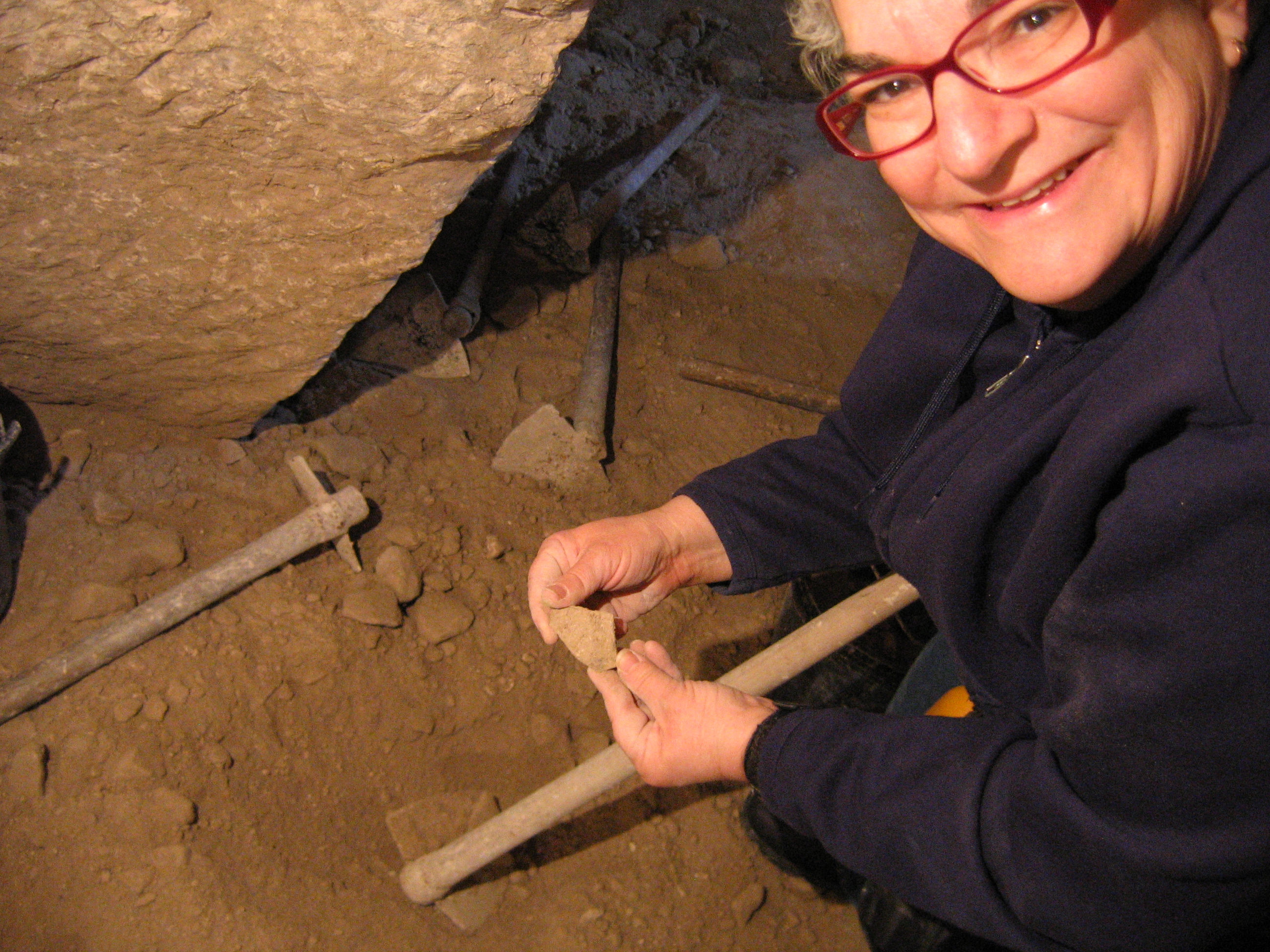
What Geoff found

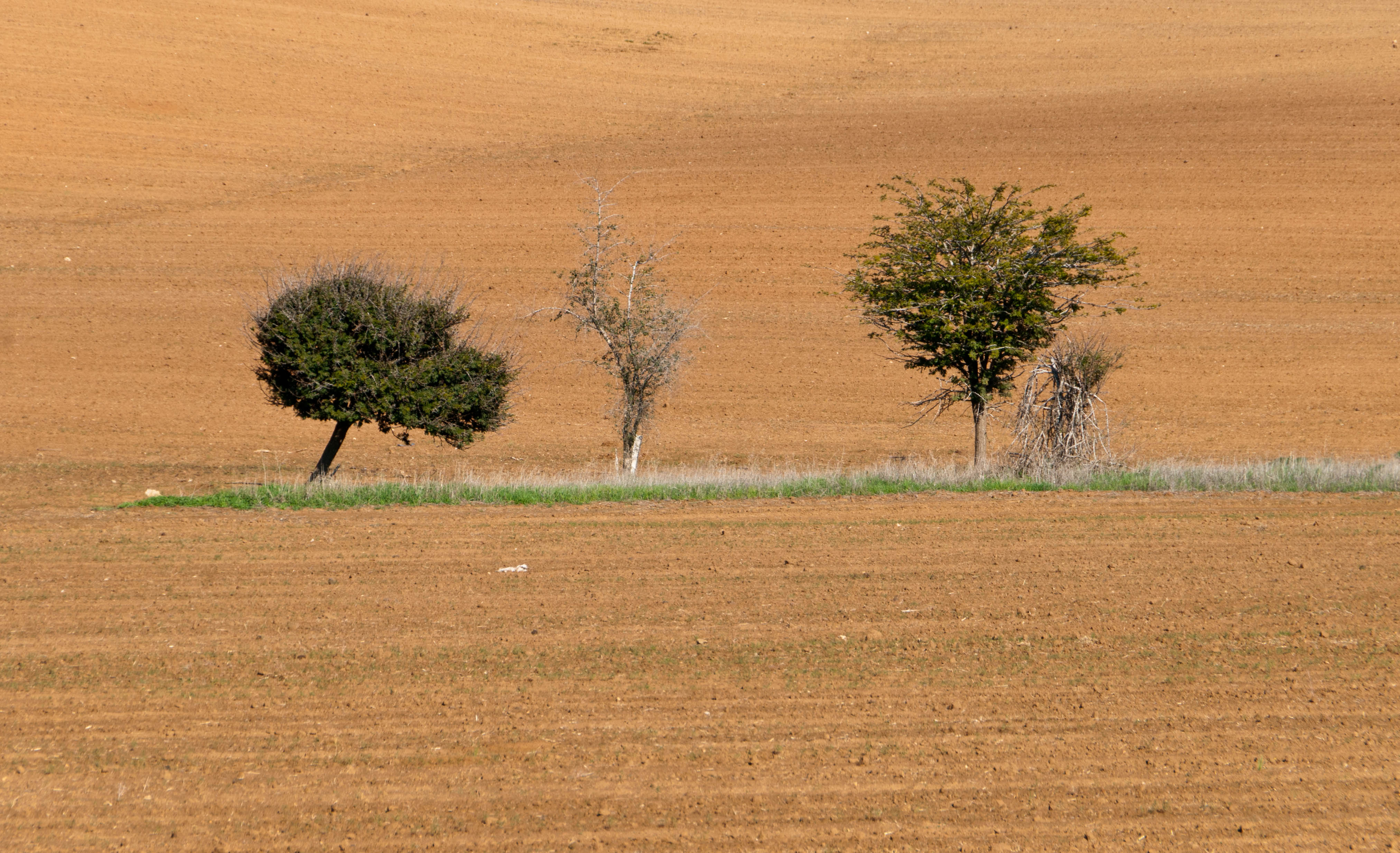
Field Of Dreams

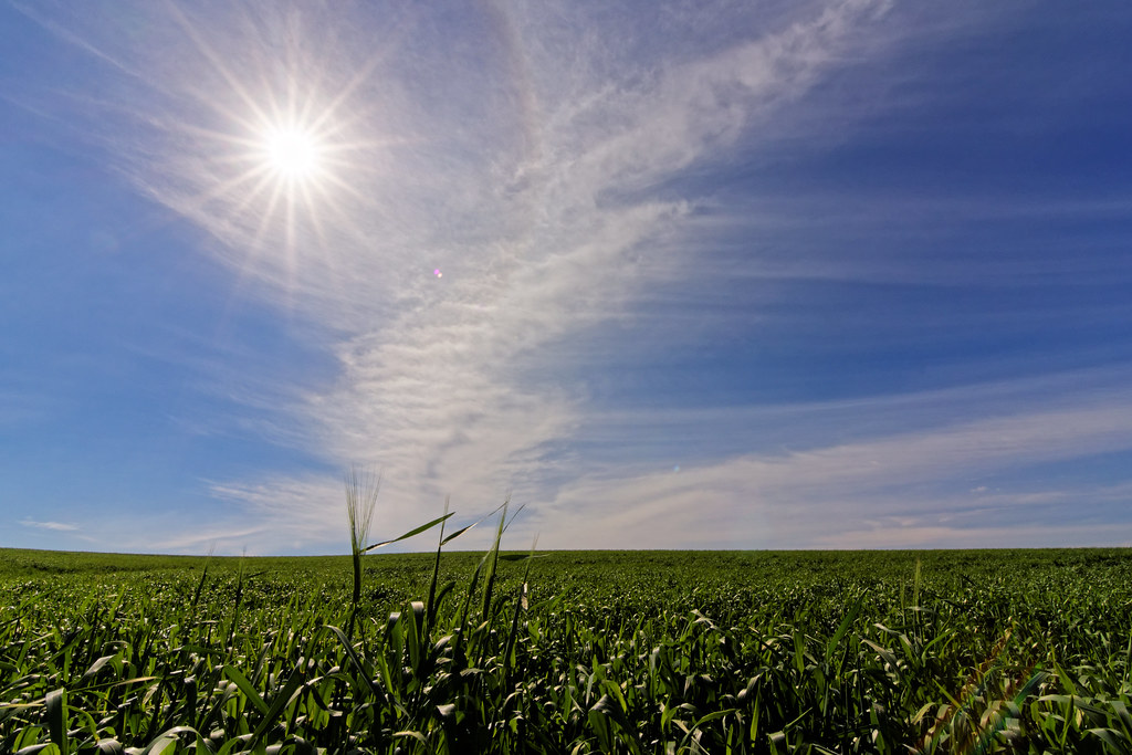
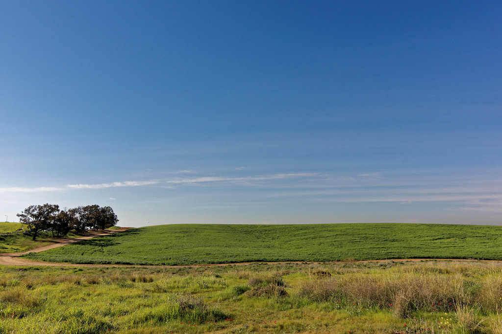
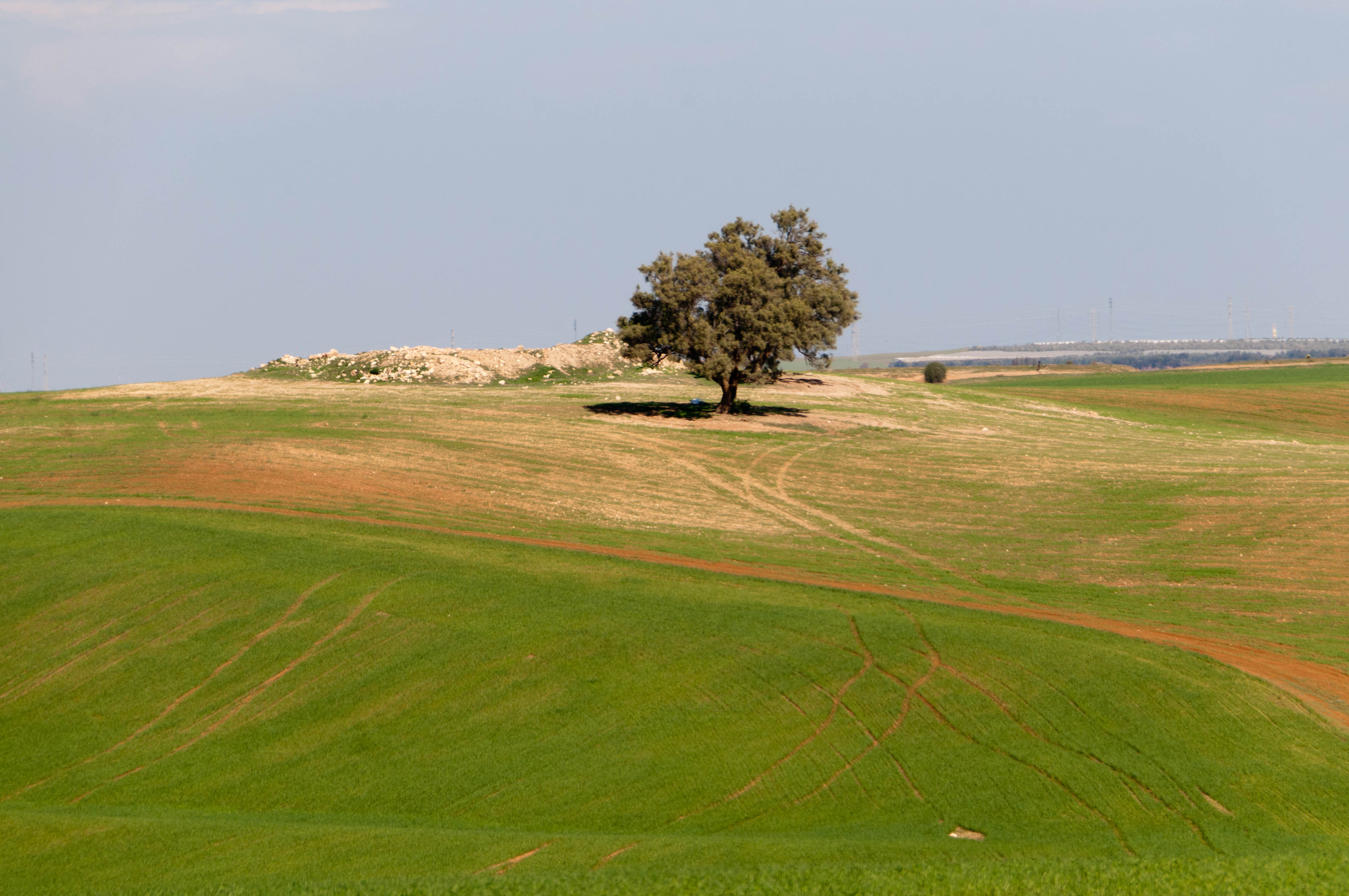
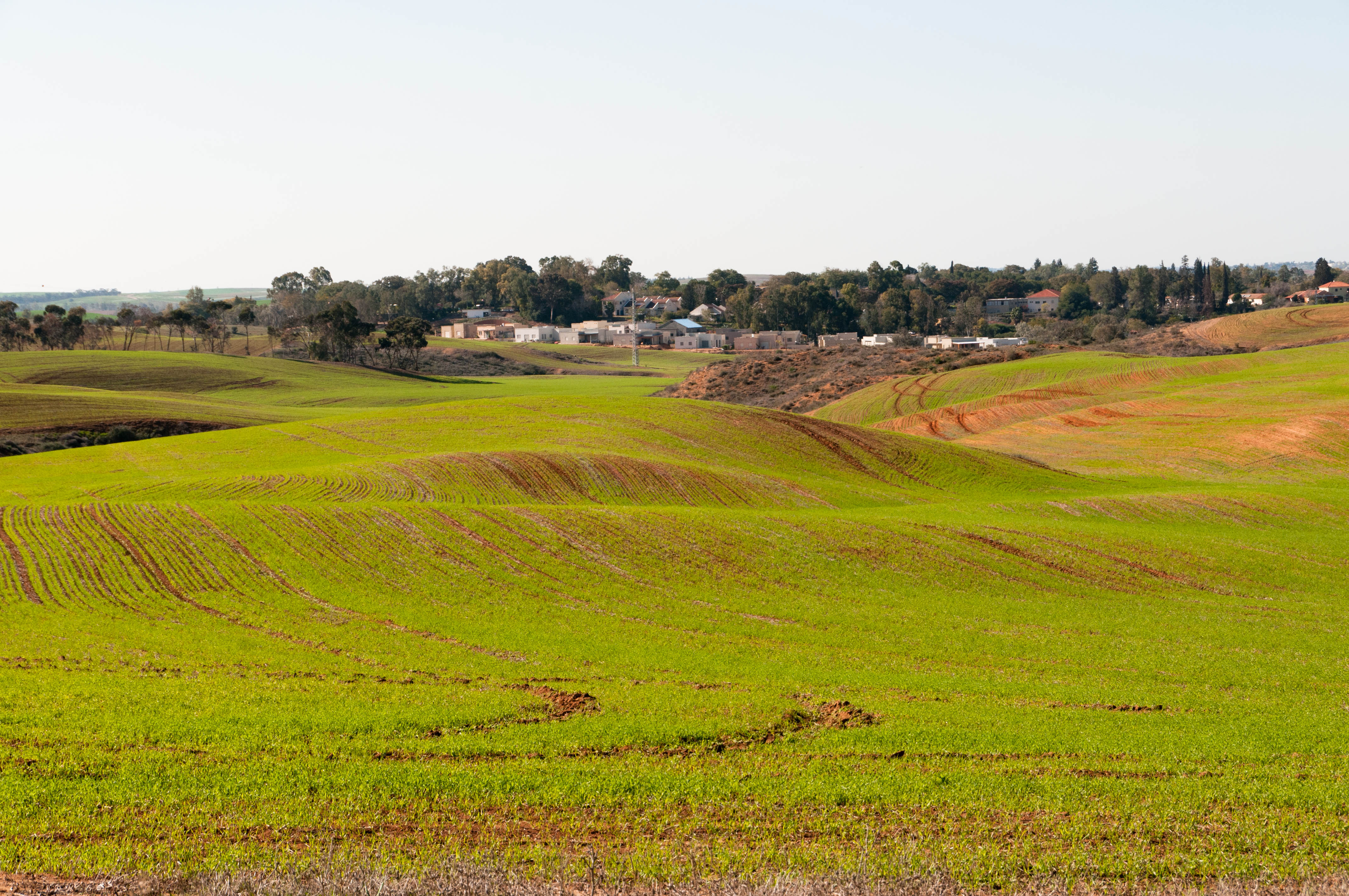
Fields of green!
Israel!

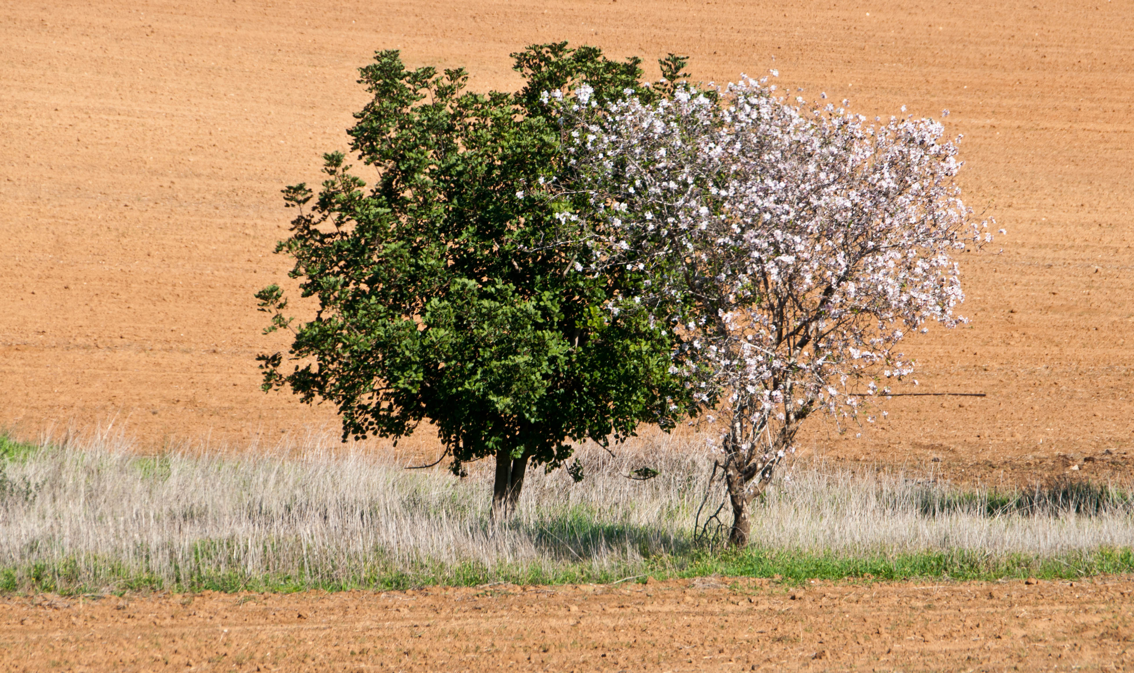
Sun Brush
Israel!

"Who brings forth bread from the earth"

Israel!

A bridge to the past
DSC_4757.jpg

Mammatus clouds
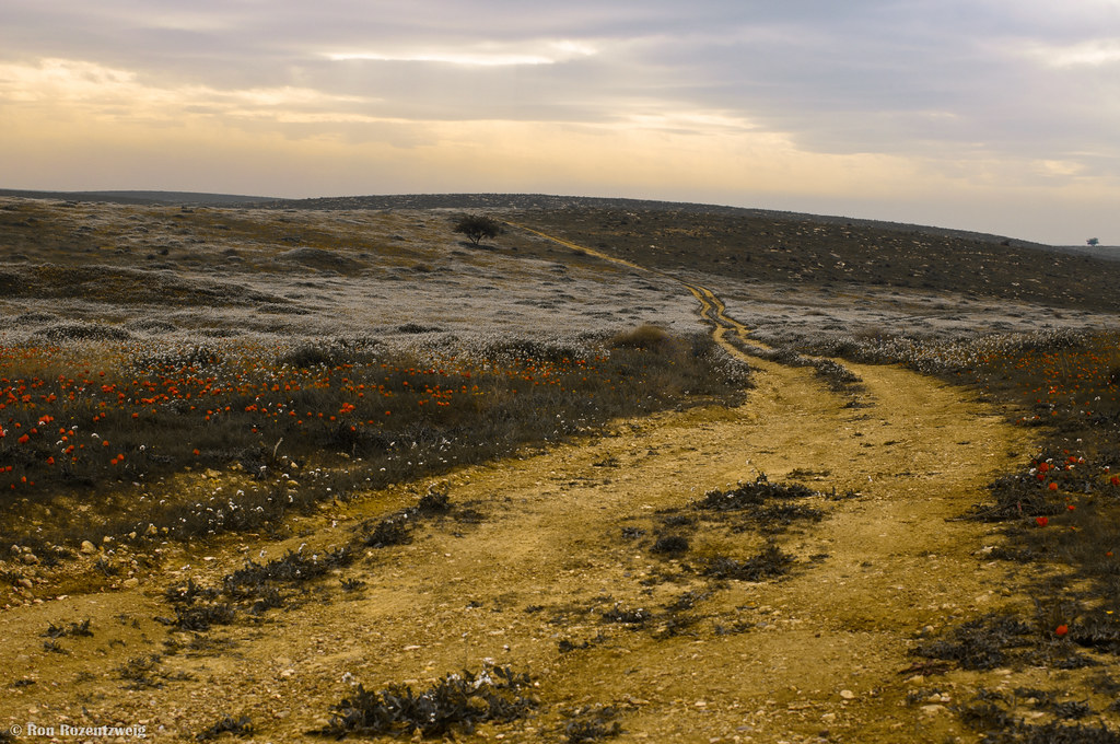
The yellow stones path

Fields of green!
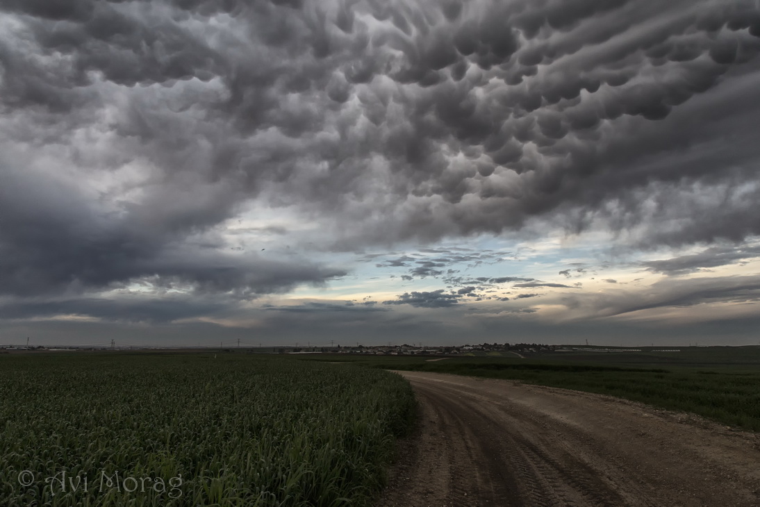
Mammatus clouds
DSC_4799.jpg
DSC_4795.jpg
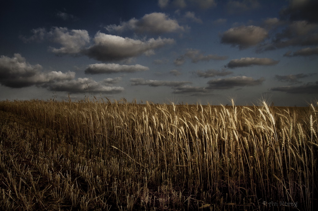
Hay Field 4
DSC_4778.jpg
DSC_4786.jpg

Sunset - שקיעה

עם "בוץ" בדרך לשדה בוקר, לכל אורך כבישש מלווה אותנו זריחה ספקטאקולארית, אבל כשאני לא נוהג אין עצירה לצילומים ... )-:

DSC_4773.jpg
Topographic Map of Ashkelon, Israel
Find elevation by address:

Places in Ashkelon, Israel:
Places near Ashkelon, Israel:
Al-'azi
Tell Es-safi
Kiryat Malakhi
Lachish
Revadim
Khurvat (ruin) Beit Loya
Judean Foothills
Kidron
Meishar
Valley Of Elah
Mikve Yisrael Street
Ashkelon
Ashdod
Ramat Beit Shemesh
Valley Of Elah (terebinths)
Yechezkel Hanavi St 22
Aderet
Mevo Hayamaim
Nachal Tze'elim Ave 7
Yona Ben Amitai Street
Recent Searches:
- Elevation of Corso Fratelli Cairoli, 35, Macerata MC, Italy
- Elevation of Tallevast Rd, Sarasota, FL, USA
- Elevation of 4th St E, Sonoma, CA, USA
- Elevation of Black Hollow Rd, Pennsdale, PA, USA
- Elevation of Oakland Ave, Williamsport, PA, USA
- Elevation of Pedrógão Grande, Portugal
- Elevation of Klee Dr, Martinsburg, WV, USA
- Elevation of Via Roma, Pieranica CR, Italy
- Elevation of Tavkvetili Mountain, Georgia
- Elevation of Hartfords Bluff Cir, Mt Pleasant, SC, USA