Elevation of Valley of Elah (Terebinths), Israël, Israel
Location: Israel > Jerusalem District > Judean Foothills >
Longitude: 34.9891247
Latitude: 31.6806252
Elevation: 288m / 945feet
Barometric Pressure: 98KPa
Elevation Map:
Satellite Map:
Related Photos:

Israel Police Heritage Centre
jerusalem from a crows view

Solomon's Pools looking E. with Hebron Road in foreground, wilderness & Mts. of Moab in distance

The view from the mount of the #TentOfNations

Fresh Looking At Camera Portrait Beautiful Woman Young Women One Person Young Adult Real People Headshot Only Women Beauty Mid Adult Human Face One Woman Only Close-up Lifestyles Front View Green Eyes Freckle Black Background מייריקוד מייאייפון7 IPhone7Pl

The view from Tel-Azekah

The view from Tel-Azekah

A gift מתנה

View to Jerusalem
Between Bet Shemesh and Jerusalem

View to vineyard
Ruins of Tel Maresh
Fake palm tree

In the old digs

DSC_236-242

What Geoff found

What Ellyn found

What our group found

Two of us going nowhere

Looking north-east from Beth Shemesh
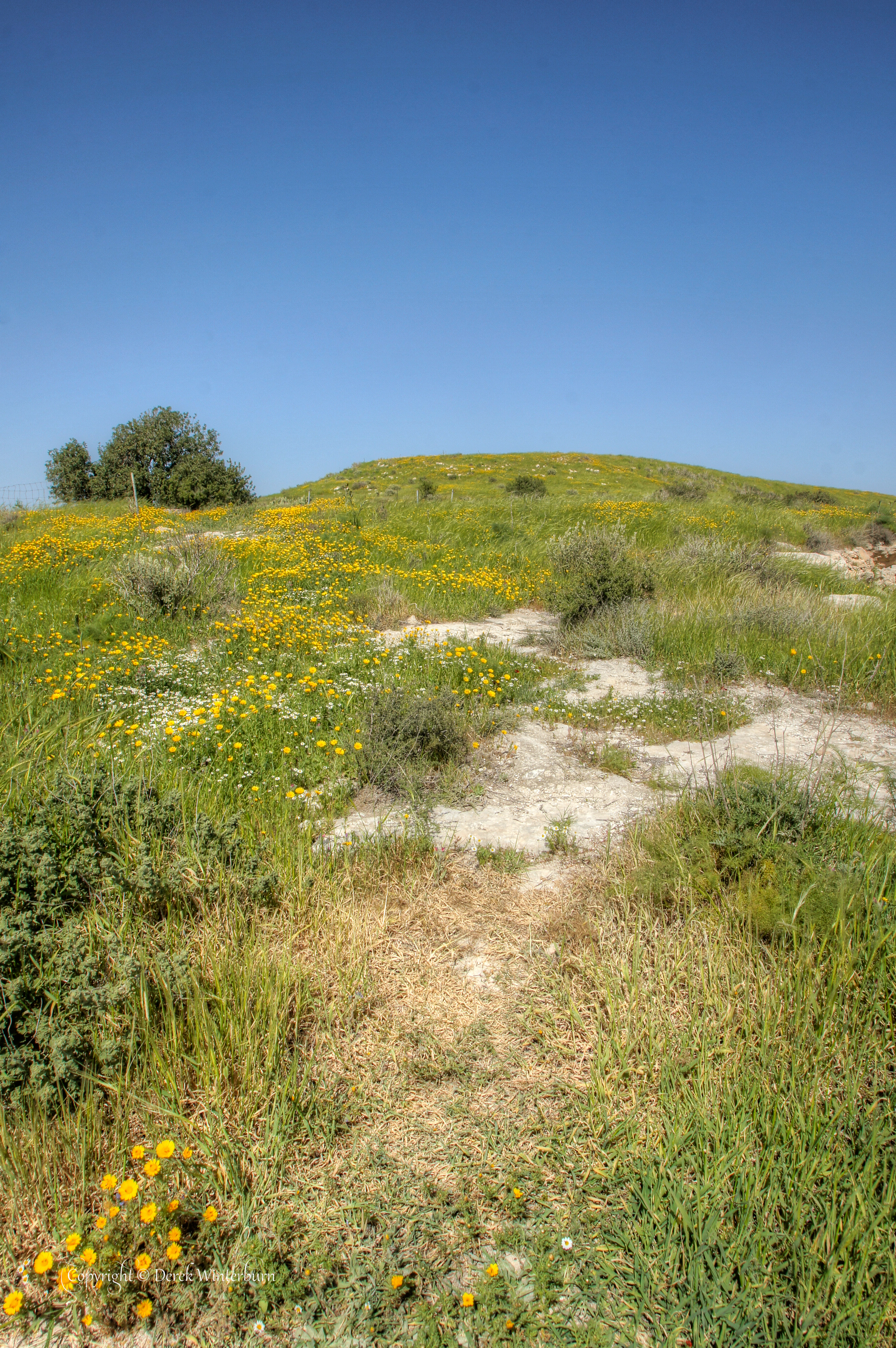
Spring Hillside

On the way from Jeruslaem

Fields of green!

Fields of green!

African Babul Blue - Azanus jesous

tete a tete
Moving on

complimentary colors

IMG_1582.JPG

Digging Site Worker

#armageddon #valleyofellah

Tent of Nations Vista 3

Gal - May 2013

Tel Goded - תל גודד

Entrance to Meeting Cave

Arab and Jewish youth, a gorge in between

Al Kolleyeh path
Topographic Map of Valley of Elah (Terebinths), Israël, Israel
Find elevation by address:

Places near Valley of Elah (Terebinths), Israël, Israel:
Aderet
Yona Ben Amitai St 49
Yona Ben Amitai Street
Yona Ben Amitai Street
Yechezkel Hanavi St 22
Ramat Beit Shemesh
Nachal Tze'elim Ave 7
Nachal Timna Street
Valley Of Elah
Sfat Emet St 29
Hanurit Street
Bet Shemesh
Judean Foothills
Israel National Trail
Mata
Jerusalem District
Bar Giora
Levona St 1
Rimon Street
Tzur Hadassah
Recent Searches:
- Elevation of Corso Fratelli Cairoli, 35, Macerata MC, Italy
- Elevation of Tallevast Rd, Sarasota, FL, USA
- Elevation of 4th St E, Sonoma, CA, USA
- Elevation of Black Hollow Rd, Pennsdale, PA, USA
- Elevation of Oakland Ave, Williamsport, PA, USA
- Elevation of Pedrógão Grande, Portugal
- Elevation of Klee Dr, Martinsburg, WV, USA
- Elevation of Via Roma, Pieranica CR, Italy
- Elevation of Tavkvetili Mountain, Georgia
- Elevation of Hartfords Bluff Cir, Mt Pleasant, SC, USA