Elevation of Al-'Azi, Israel
Location: Israel > South District > Ashkelon >
Longitude: 34.814254
Latitude: 31.718868
Elevation: 108m / 354feet
Barometric Pressure: 100KPa
Elevation Map:
Satellite Map:
Related Photos:

Israel Railways - SAFB diesel locomotive and passenger train in Kiryat Gat, 1956

The view from Tel-Azekah

bee-ware B

Hulda scenic views-007

סוף החודש עם נגה וצדק. View from home. #moon #venus #jupiter #sunset

The view from Tel-Azekah

Hulda scenic views-009

A gift מתנה

Israel Police Heritage Centre

Hulda scenic views-001

Hulda scenic views-013

Hulda scenic views-006

Hulda scenic views-008

Spur-Winged Lapwing: Ground Level
Hulda scenic views-004

Hulda scenic views-016

Hulda scenic views-015

Tree view #tree

Vista II

Vista I
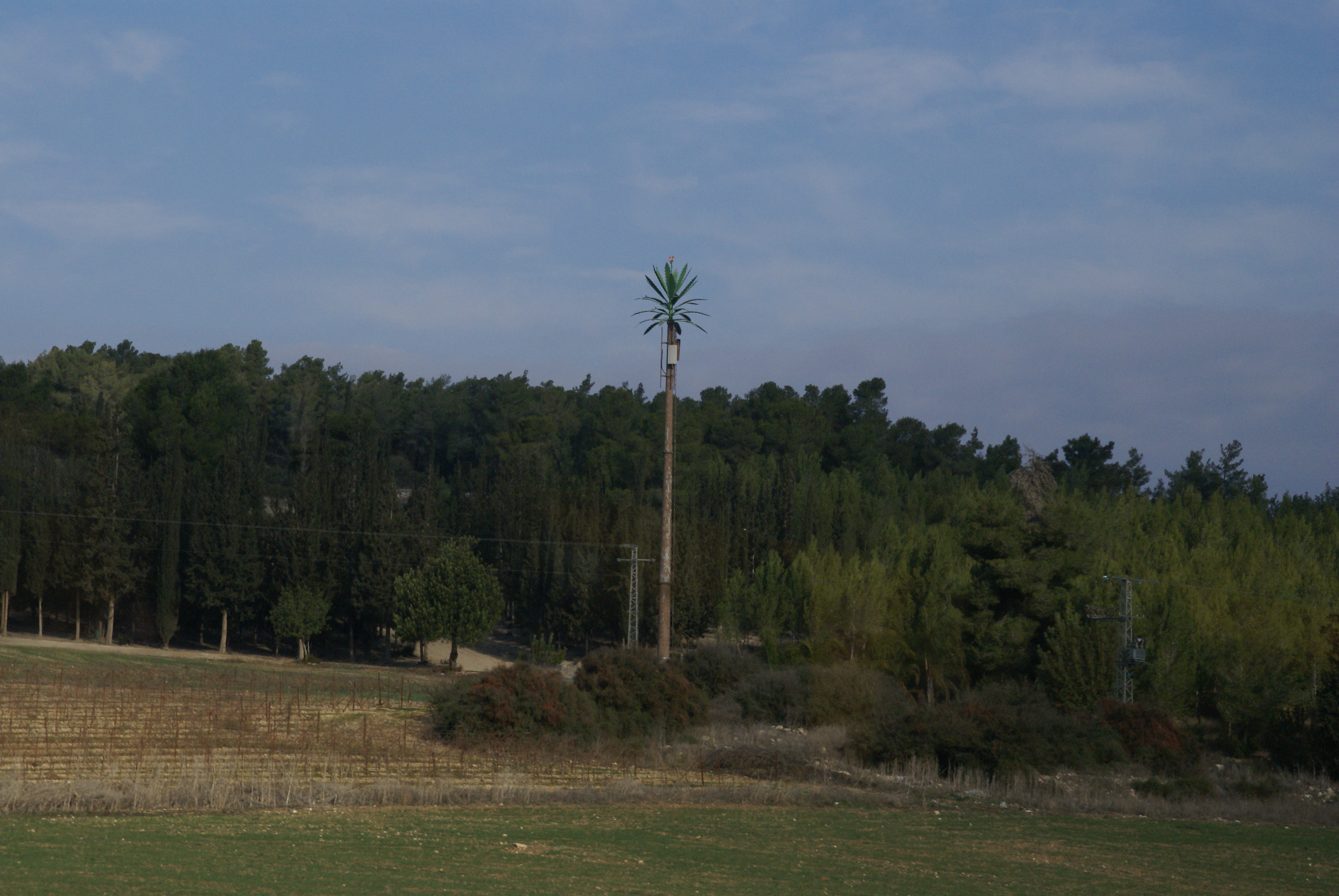
Fake palm tree

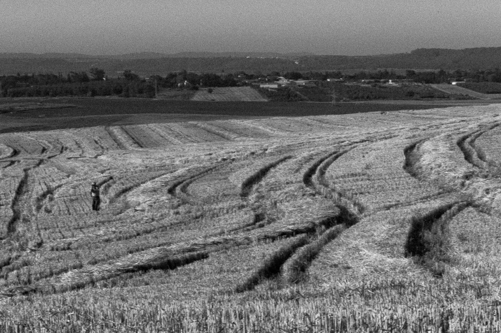
Fields of green!

Fields of green!

African Babul Blue - Azanus jesous

tete a tete

Wadi Arugot (Ein Gedi Nature Reserve, Dead Sea Region) #travel #tourism #israel #israelinstagram #israel_photographers #insta_israel #deadsea ручей Аругот, природный заповедник Эйн Геди, район Мертвого моря, Израиль.

_MG_1446_DxO.jpg

complimentary colors

The eye in the sky

yesterday morning

Good Morning, Sunshine

Workshop: Extreme motor sport with Amir Chodorov

#armageddon #valleyofellah

Sunset from my Backyard
Workshop: Extreme motor sport with Amir Chodorov

#שקדיות

Workshop: Extreme motor sport with Amir Chodorov

Wadi Sarar Ottoman train station

Workshop: Extreme motor sport with Amir Chodorov
Topographic Map of Al-'Azi, Israel
Find elevation by address:

Places near Al-'Azi, Israel:
Tell Es-safi
Revadim
Judean Foothills
Valley Of Elah
Ramat Beit Shemesh
Hanurit Street
Yechezkel Hanavi St 22
Nachal Tze'elim Ave 7
Yona Ben Amitai Street
Yona Ben Amitai Street
Yona Ben Amitai St 49
Bet Shemesh
Valley Of Elah (terebinths)
Sfat Emet St 29
Nachal Timna Street
Jerusalem District
Aderet
Israel National Trail
Mata
Bar Giora
Recent Searches:
- Elevation of Corso Fratelli Cairoli, 35, Macerata MC, Italy
- Elevation of Tallevast Rd, Sarasota, FL, USA
- Elevation of 4th St E, Sonoma, CA, USA
- Elevation of Black Hollow Rd, Pennsdale, PA, USA
- Elevation of Oakland Ave, Williamsport, PA, USA
- Elevation of Pedrógão Grande, Portugal
- Elevation of Klee Dr, Martinsburg, WV, USA
- Elevation of Via Roma, Pieranica CR, Italy
- Elevation of Tavkvetili Mountain, Georgia
- Elevation of Hartfords Bluff Cir, Mt Pleasant, SC, USA