Elevation of H, LA, USA
Location: United States > Louisiana > Rapides Parish >
Longitude: -92.579248
Latitude: 31.0078621
Elevation: 24m / 79feet
Barometric Pressure: 101KPa
Elevation Map:
Satellite Map:
Related Photos:
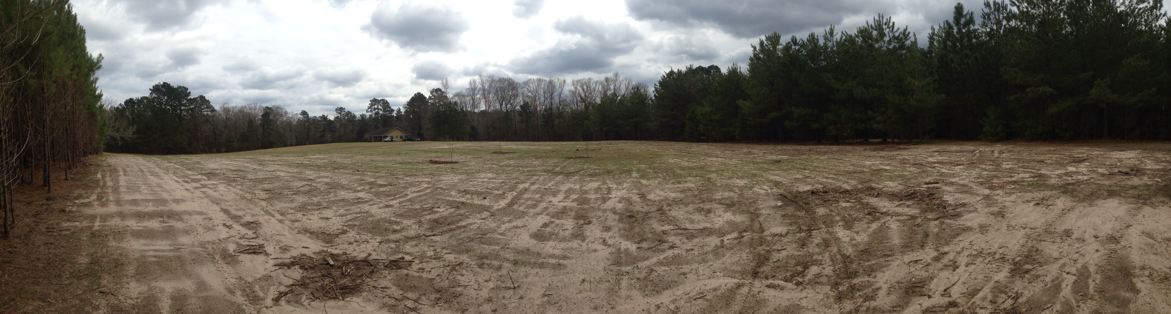
Home site before construction 1
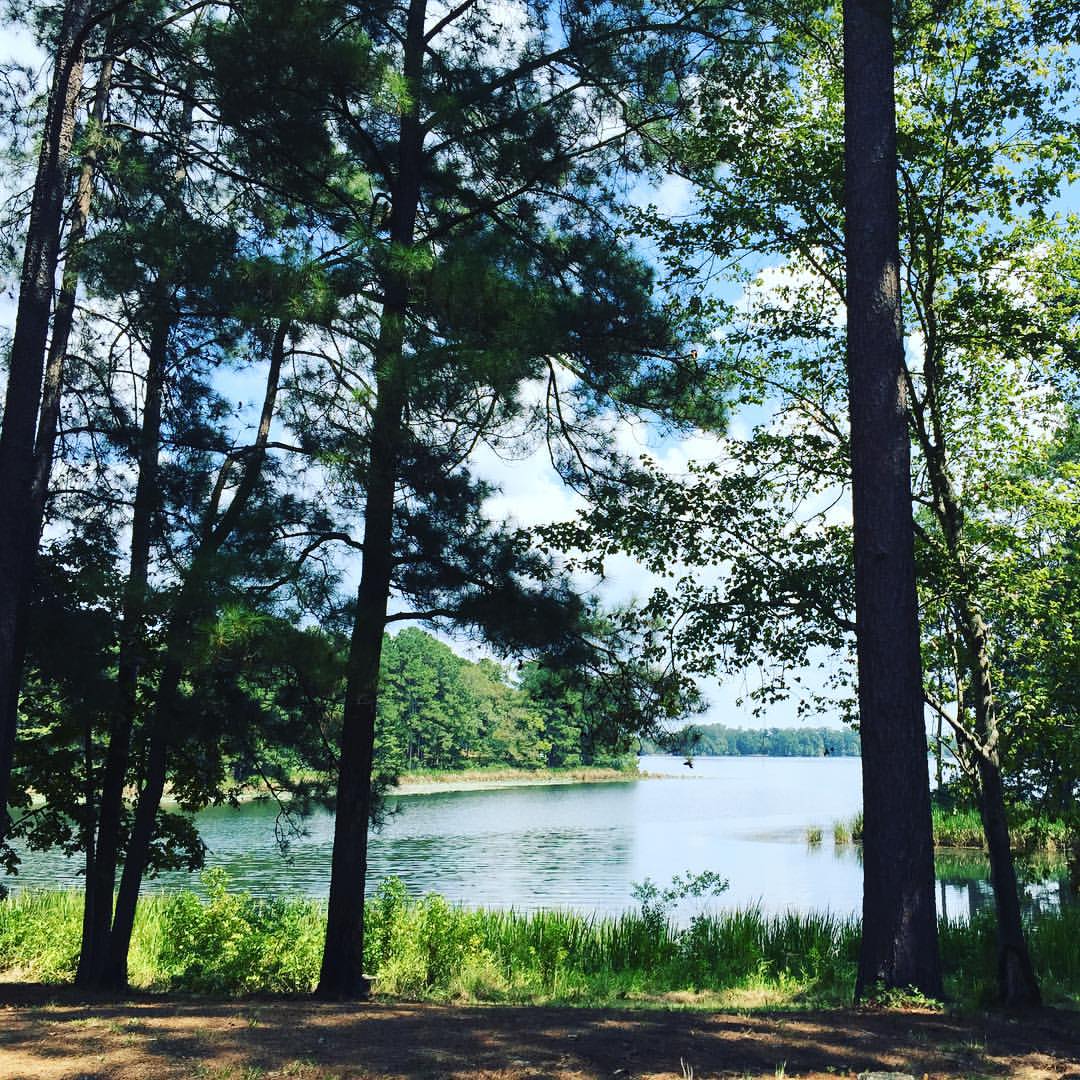
The clearest way into the Universe is through a forest wilderness! #forest @trees #river #water ????????

This little man is ready to hit the water! ????☀️

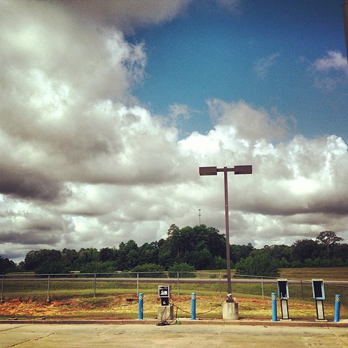
Lecompte, LA- I-49
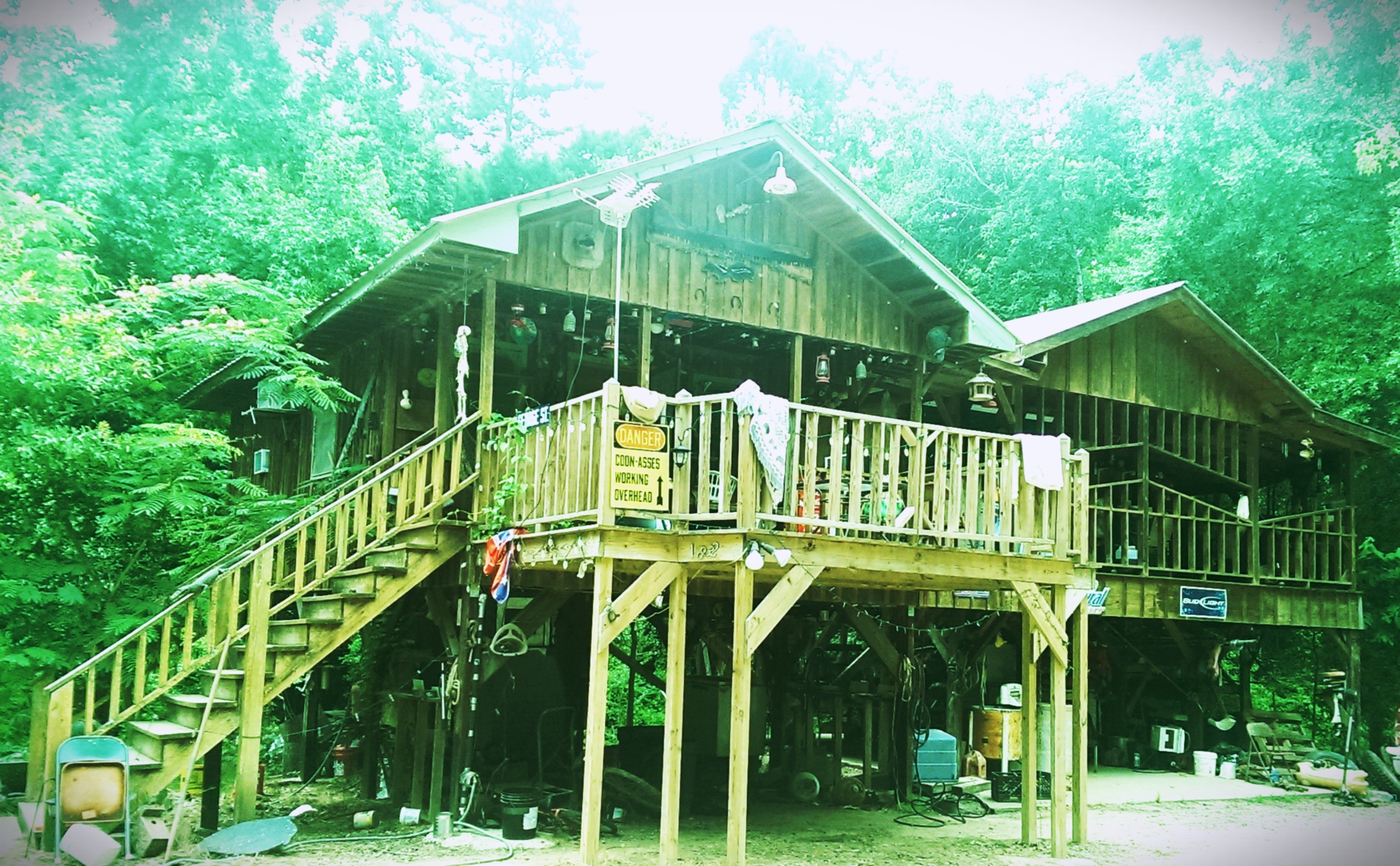
Landing house
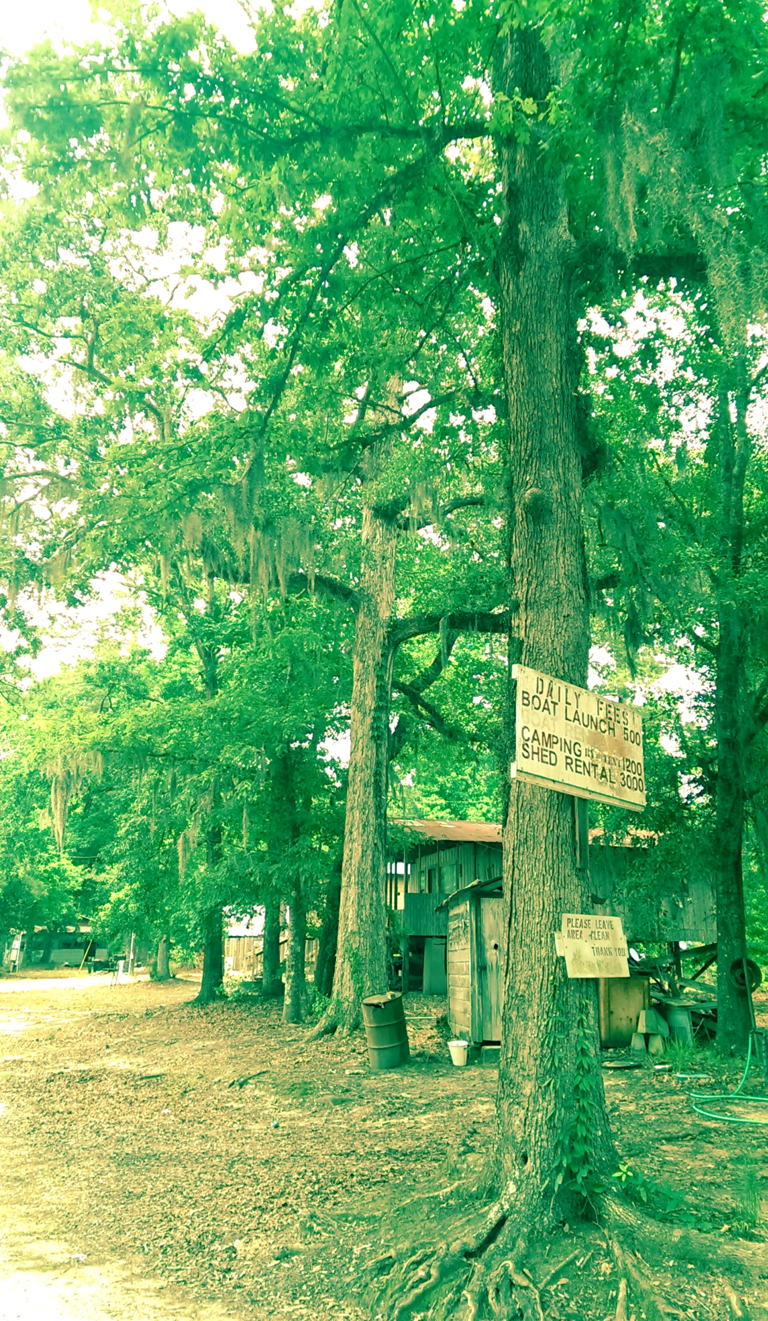
Woods in Louisiana

Laura with her new Ruger 10/22
The trip home after vacation is the longest. #roadtrip

Jerie [email protected]
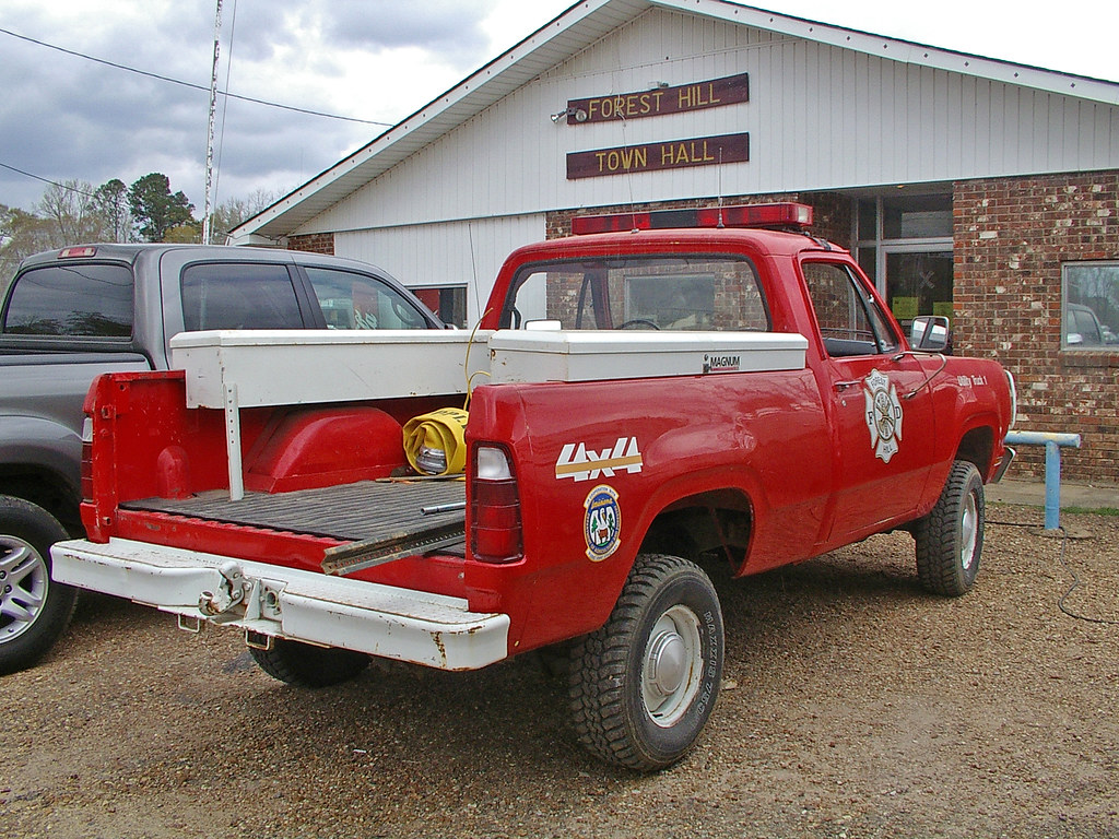
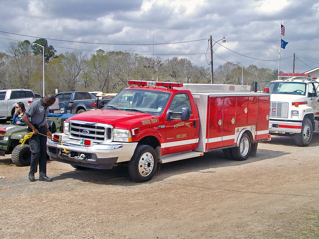
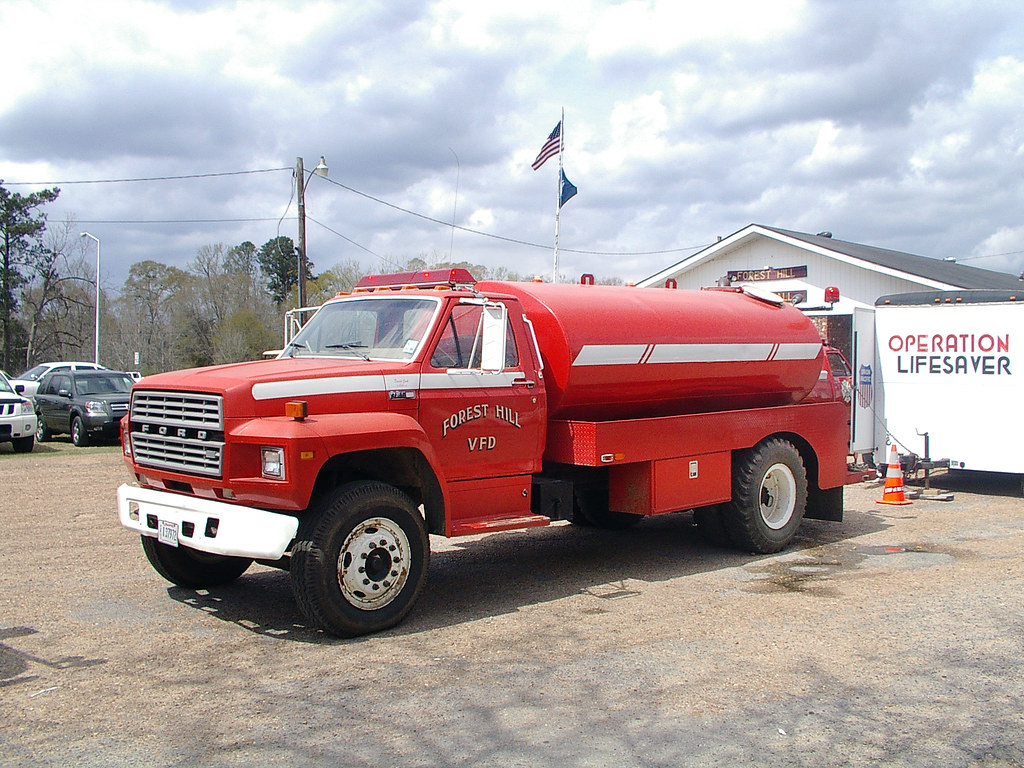
Forest Hill Fire Dept_002

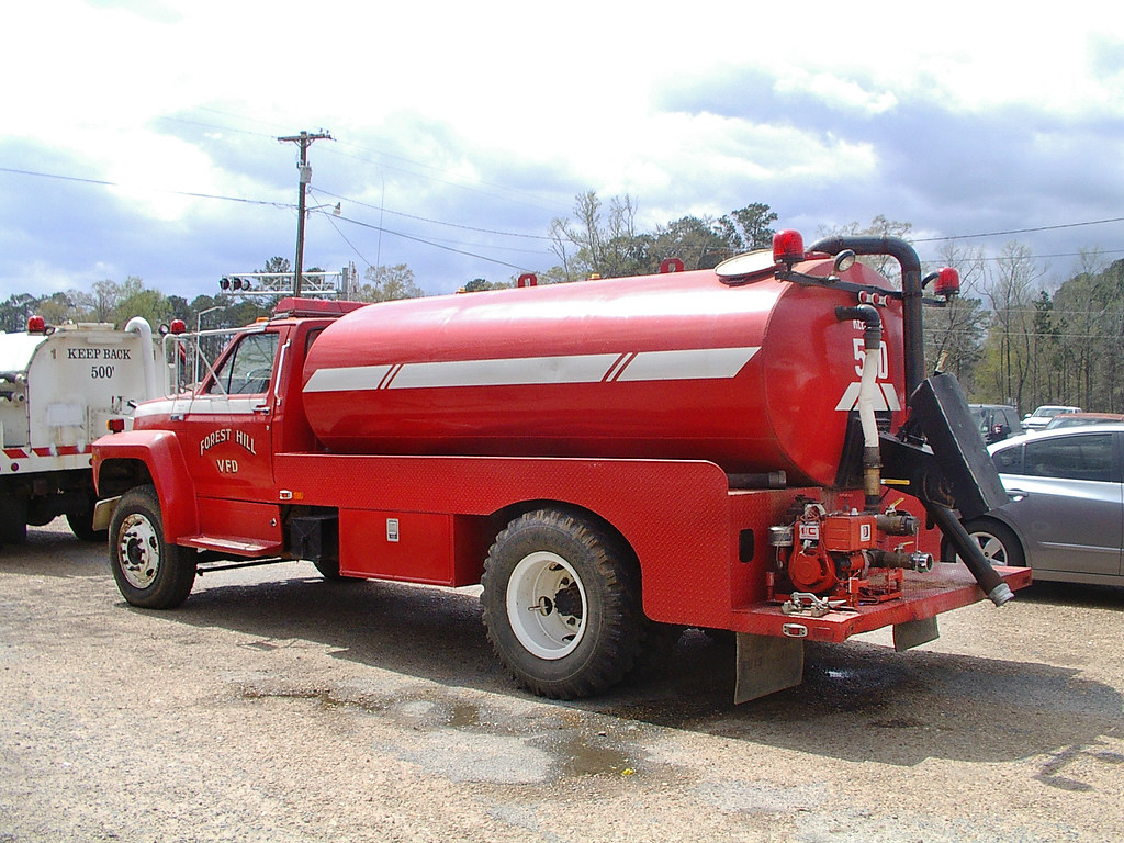
Forest Hill Fire Dept_014
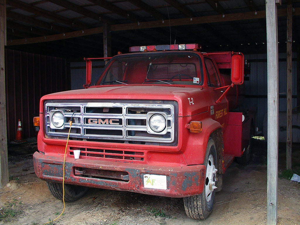
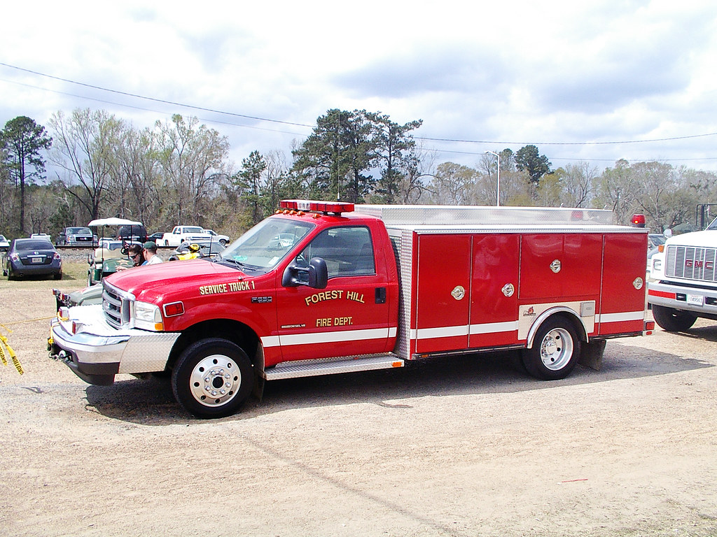
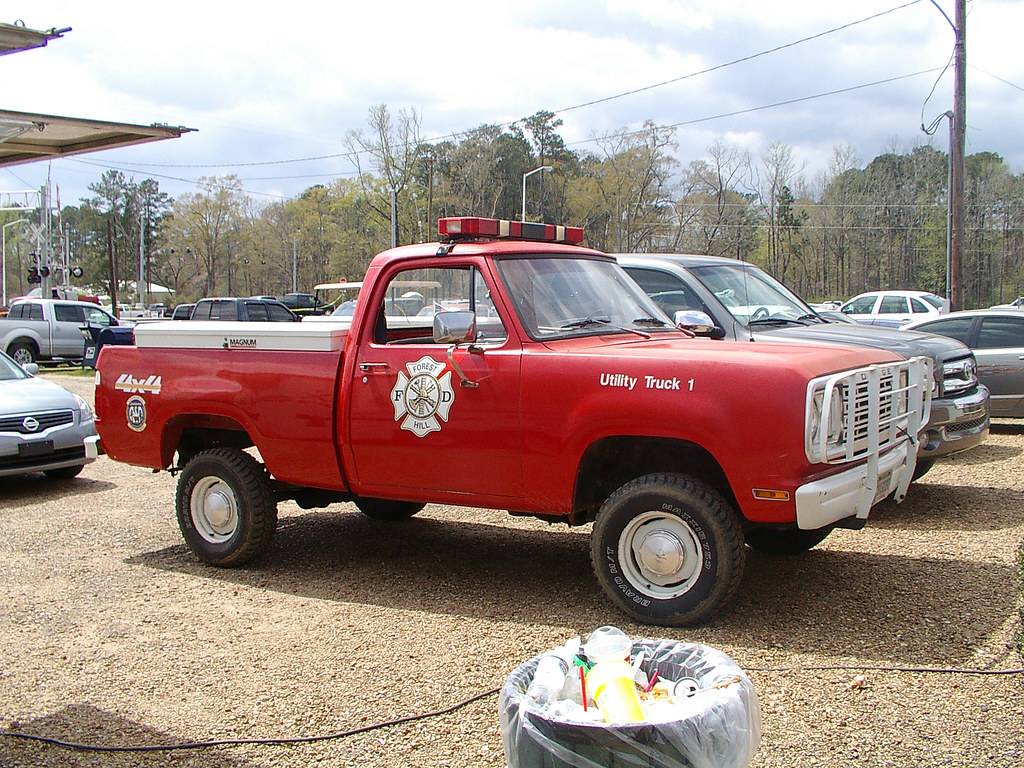
Forest Hill Fire Dept_016
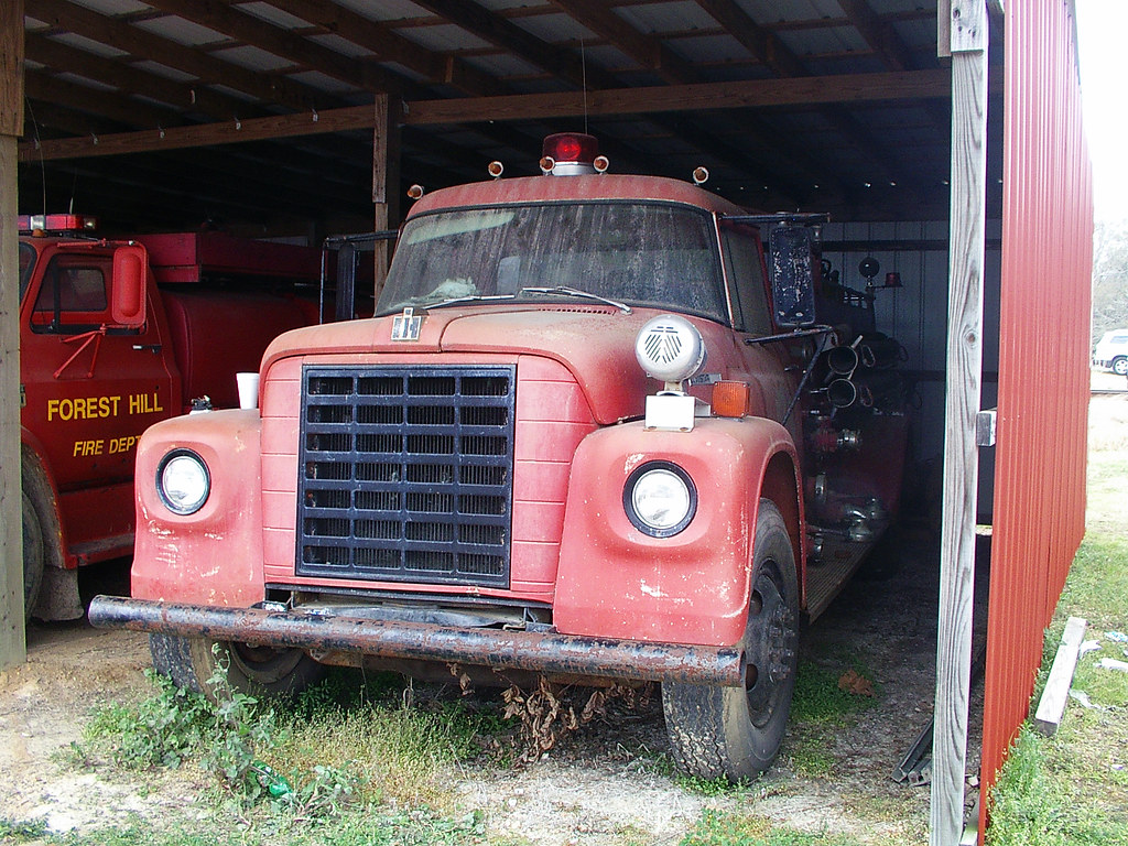
Forest Hill Fire Dept_015
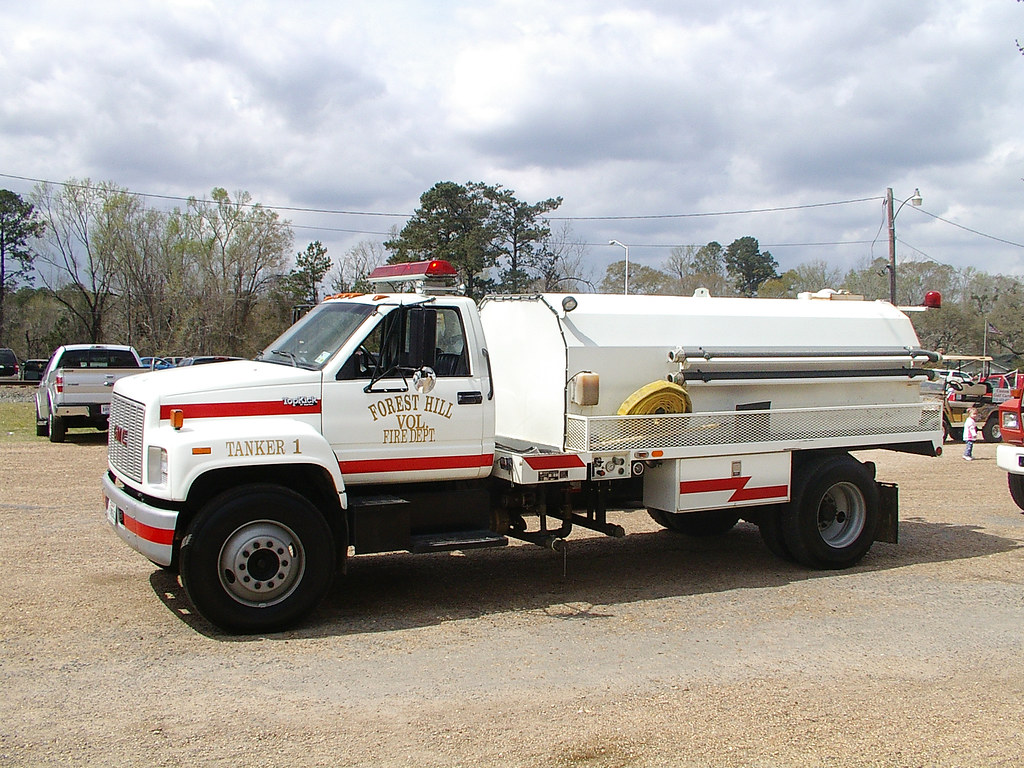
Forest Hill Fire Dept_012
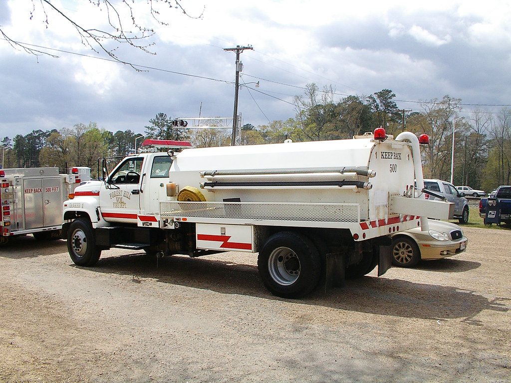
Forest Hill Fire Dept_011
Forest Hill Fire Dept_004

Forest Hill Fire Dept_013
Forest Hill Fire Dept_005
Forest Hill Fire Dept_007
Forest Hill Fire Dept_008
Forest Hill Fire Dept_001
Topographic Map of H, LA, USA
Find elevation by address:

Places in H, LA, USA:
Alexandria
Forest Hill
Hineston
Sandy Ln, Marksville, LA, USA
Coulee Crossing Rd, Woodworth, LA, USA
Westport
Woodworth
Elmer
Places near H, LA, USA:
1903 Britt Dr
LA-, Forest Hill, LA, USA
Glenmora
613 12th Ave
2002 Turkey Creek Rd
Forest Hill
US-, Forest Hill, LA, USA
3800 La-112
12 Melder Rd, Glenmora, LA, USA
41 Bucks Landing Rd, Forest Hill, LA, USA
Rapides Parish
214 Belle Trace Rd
105 Harry Ray Rd
8 E River Rd, Glenmora, LA, USA
Elmer
Woodworth
303 N Spring Dr
19 Toby Ln
Coulee Crossing Rd, Woodworth, LA, USA
Lecompte
Recent Searches:
- Elevation of Corso Fratelli Cairoli, 35, Macerata MC, Italy
- Elevation of Tallevast Rd, Sarasota, FL, USA
- Elevation of 4th St E, Sonoma, CA, USA
- Elevation of Black Hollow Rd, Pennsdale, PA, USA
- Elevation of Oakland Ave, Williamsport, PA, USA
- Elevation of Pedrógão Grande, Portugal
- Elevation of Klee Dr, Martinsburg, WV, USA
- Elevation of Via Roma, Pieranica CR, Italy
- Elevation of Tavkvetili Mountain, Georgia
- Elevation of Hartfords Bluff Cir, Mt Pleasant, SC, USA