Elevation of Harry Ray Rd, Glenmora, LA, USA
Location: United States > Louisiana > Rapides Parish > E > Glenmora >
Longitude: -92.70244
Latitude: 31.08953
Elevation: 61m / 200feet
Barometric Pressure: 101KPa
Elevation Map:
Satellite Map:
Related Photos:
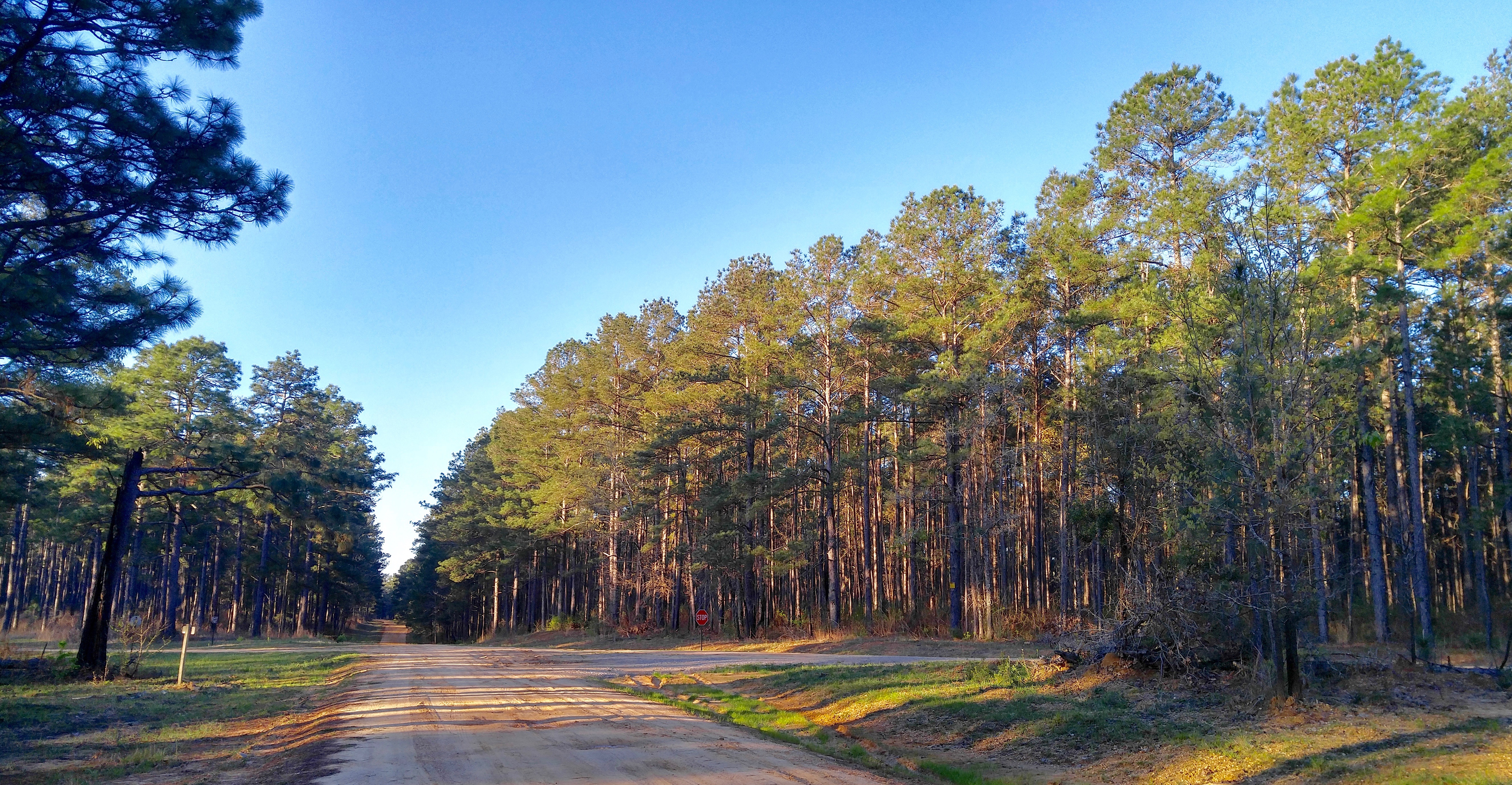
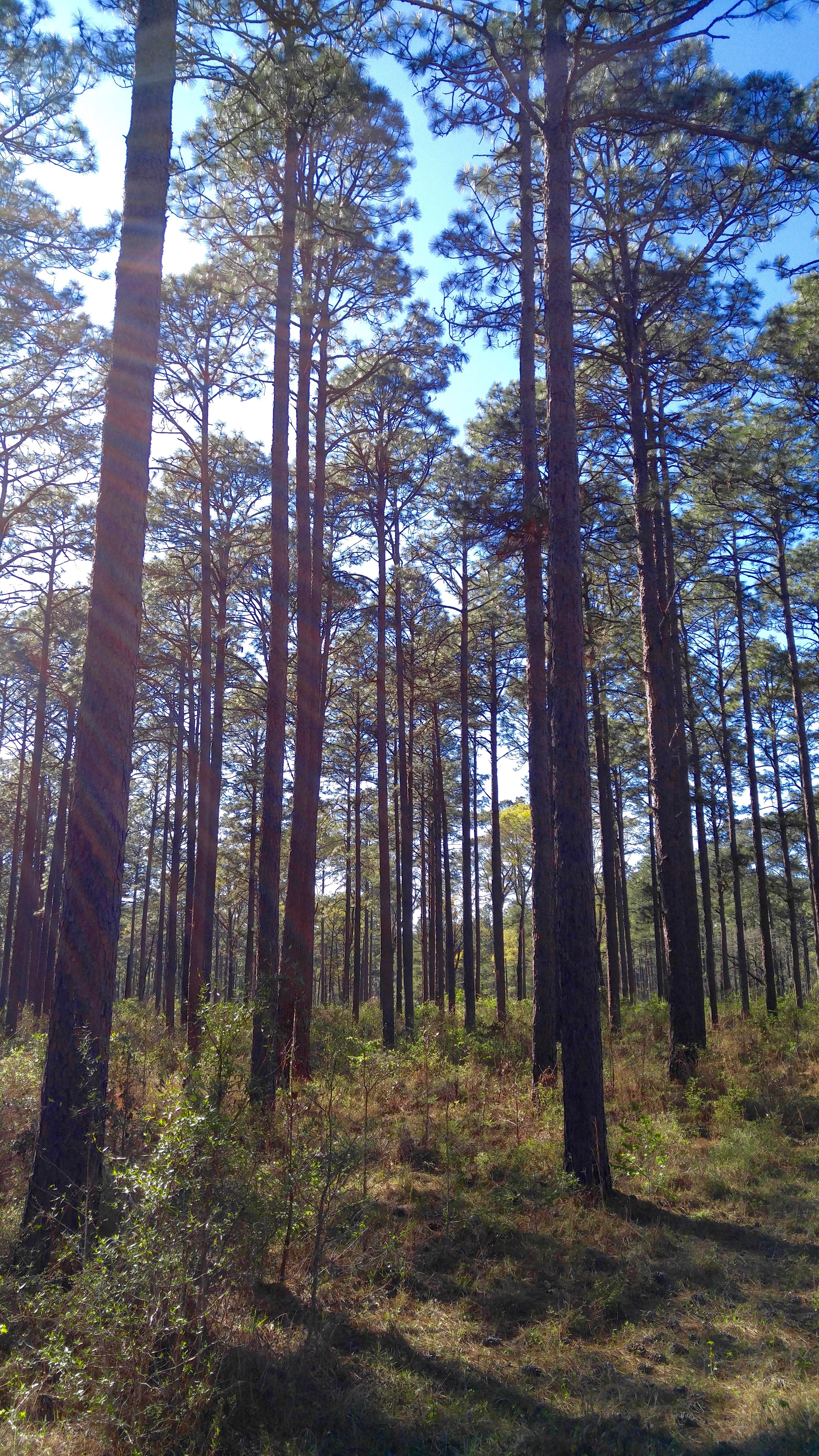
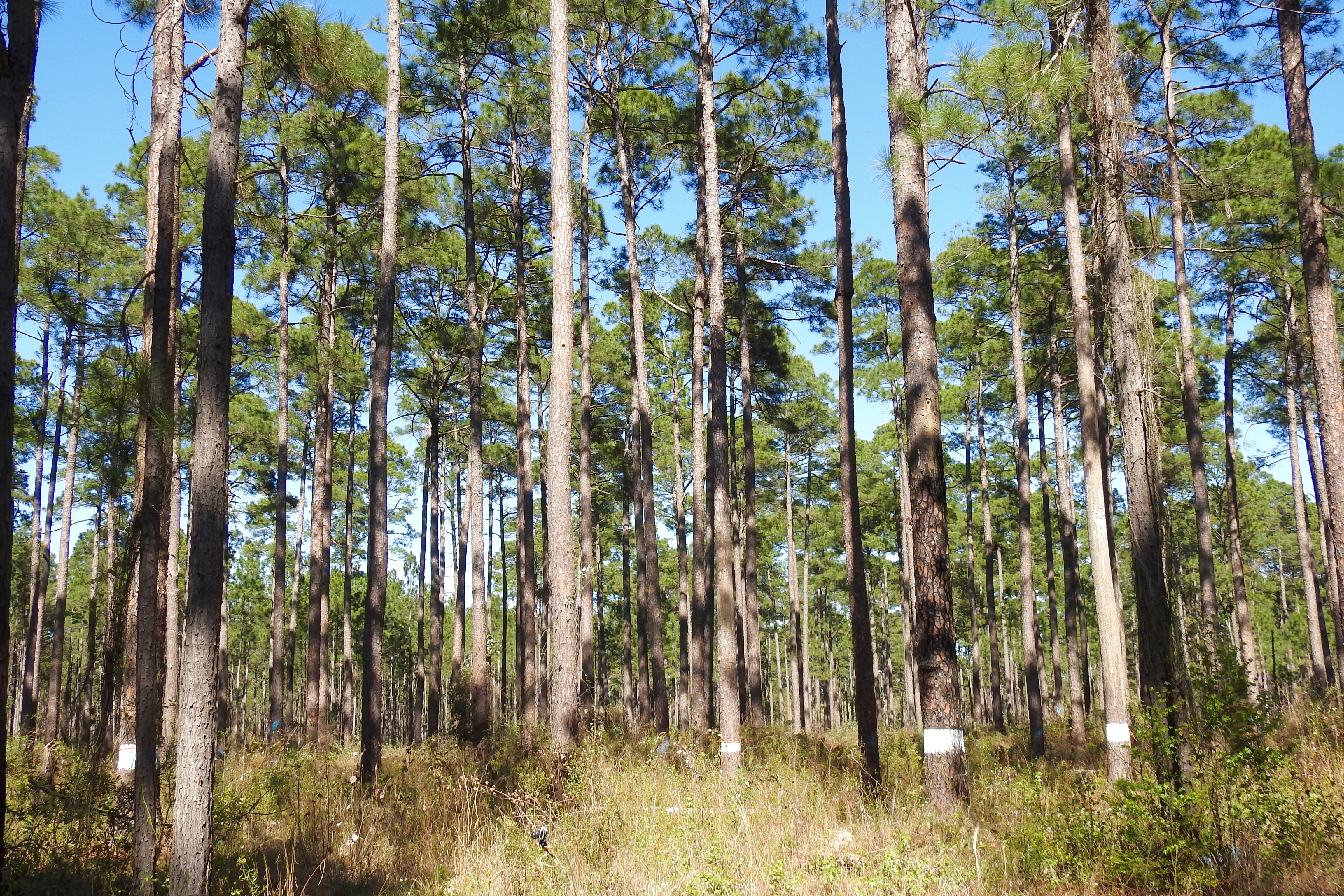
Forest Rds. 208-277 area
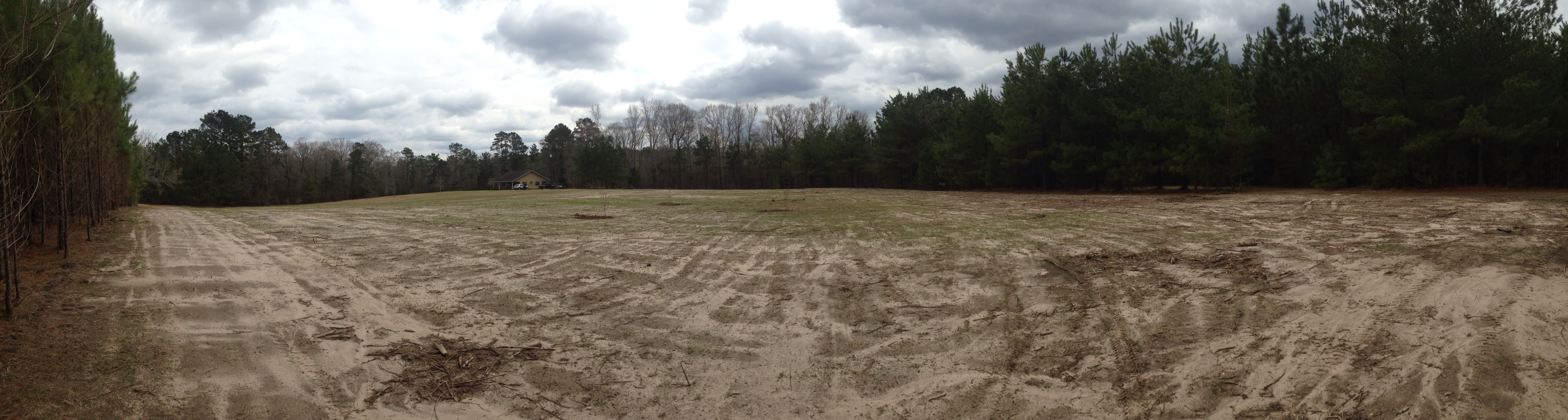
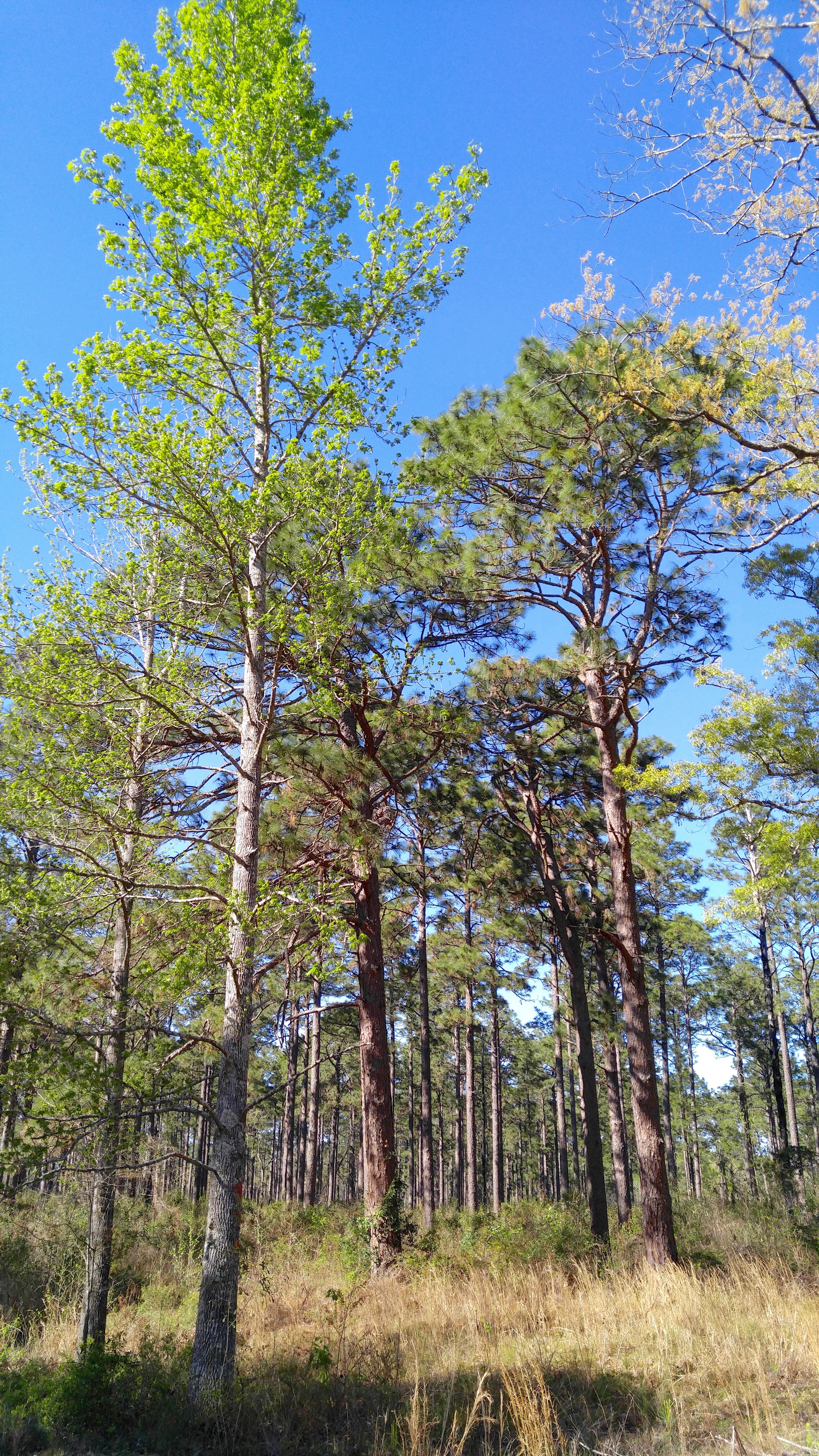
Home site before construction 1
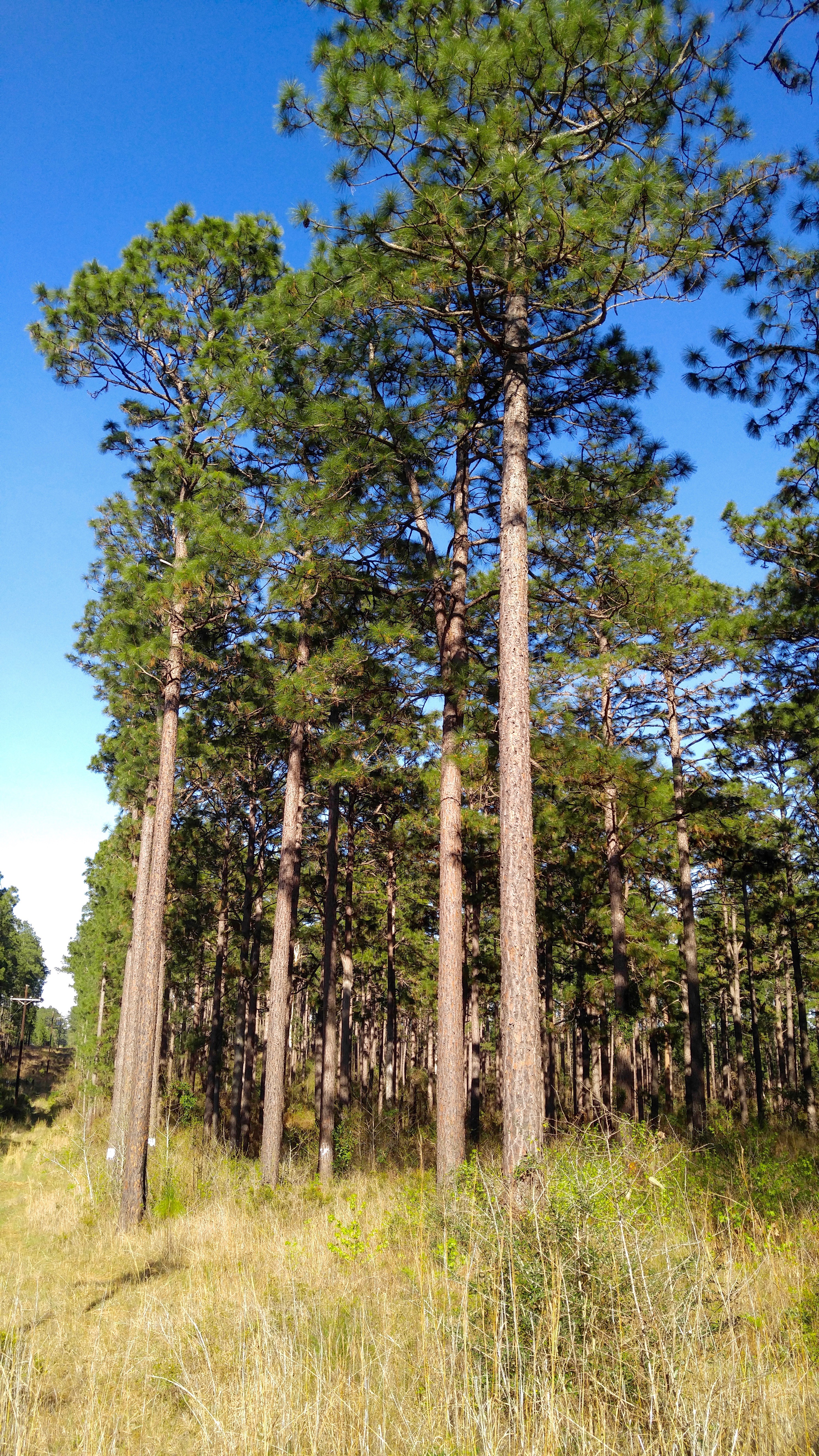
Forest Route 209
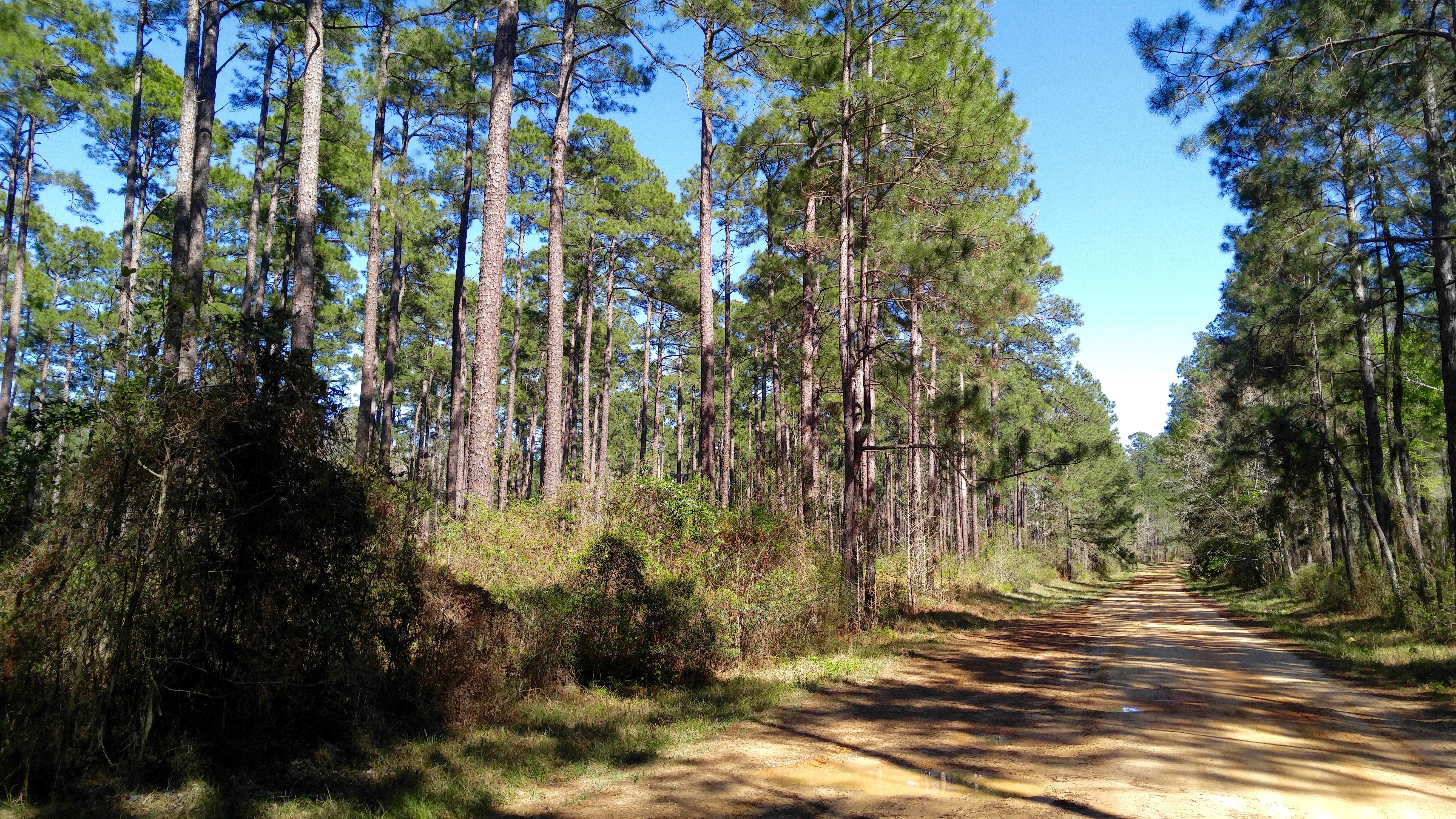
Rd. 273

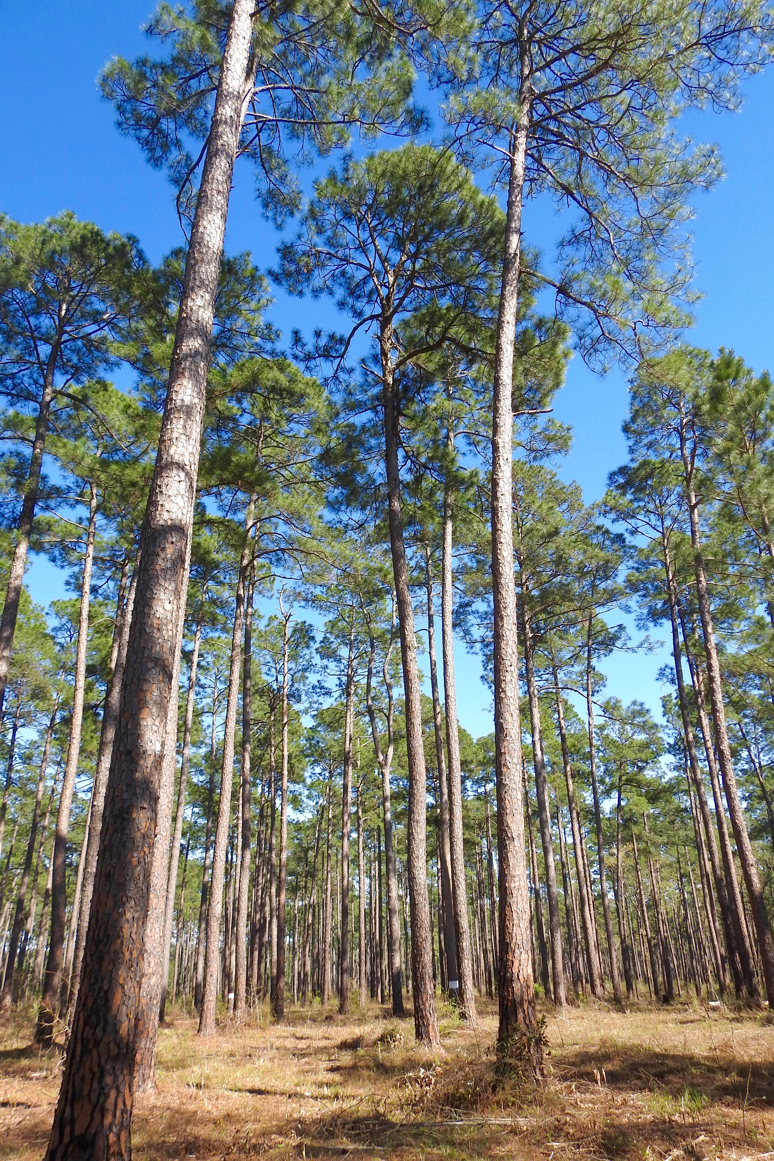
Forest Route 209
Forest Route 209
Forest Route 209
off Hwy. 112

Rd. 273

Rd. 273
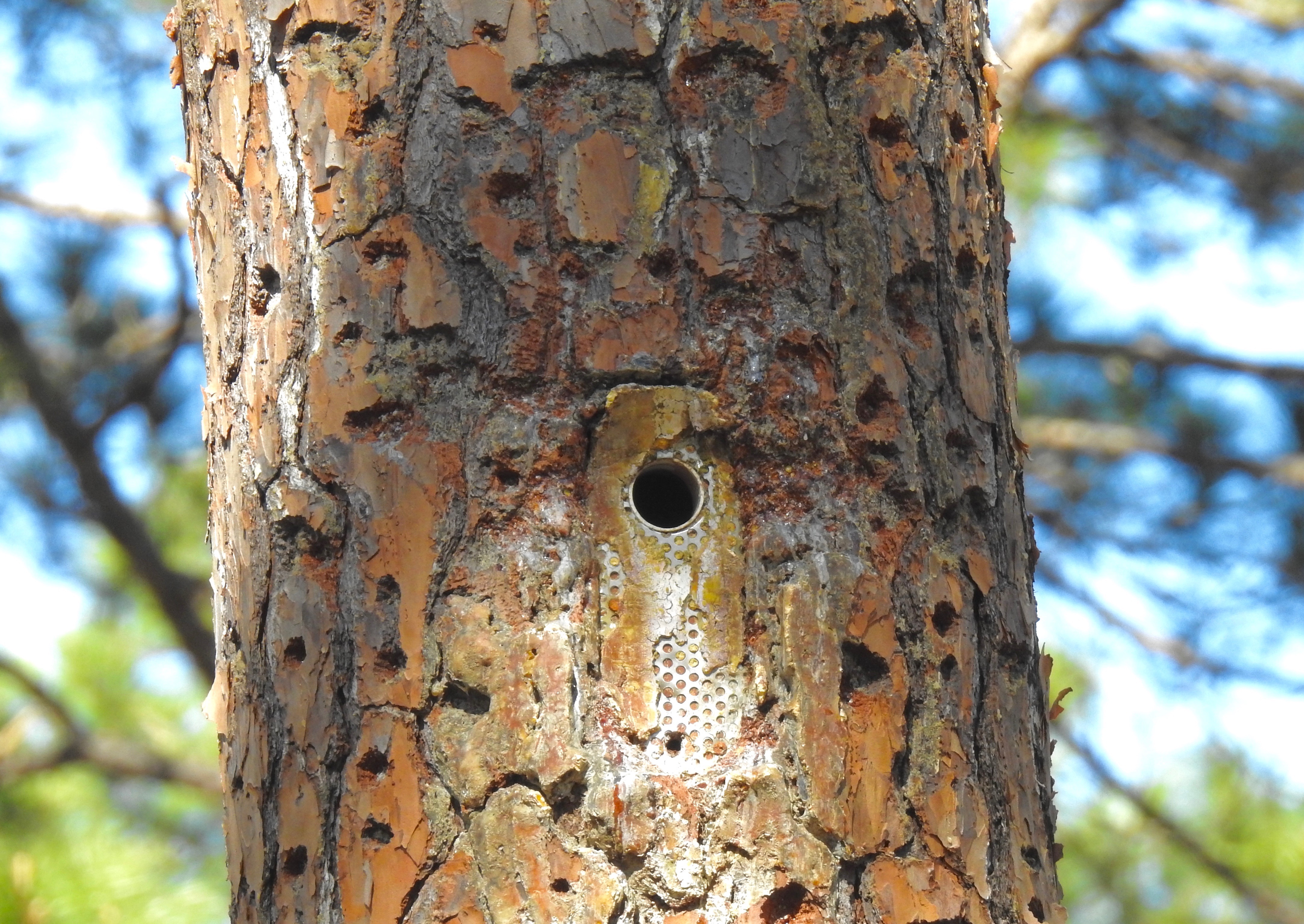
nest cavity insert for Red-cockaded Woodpecker
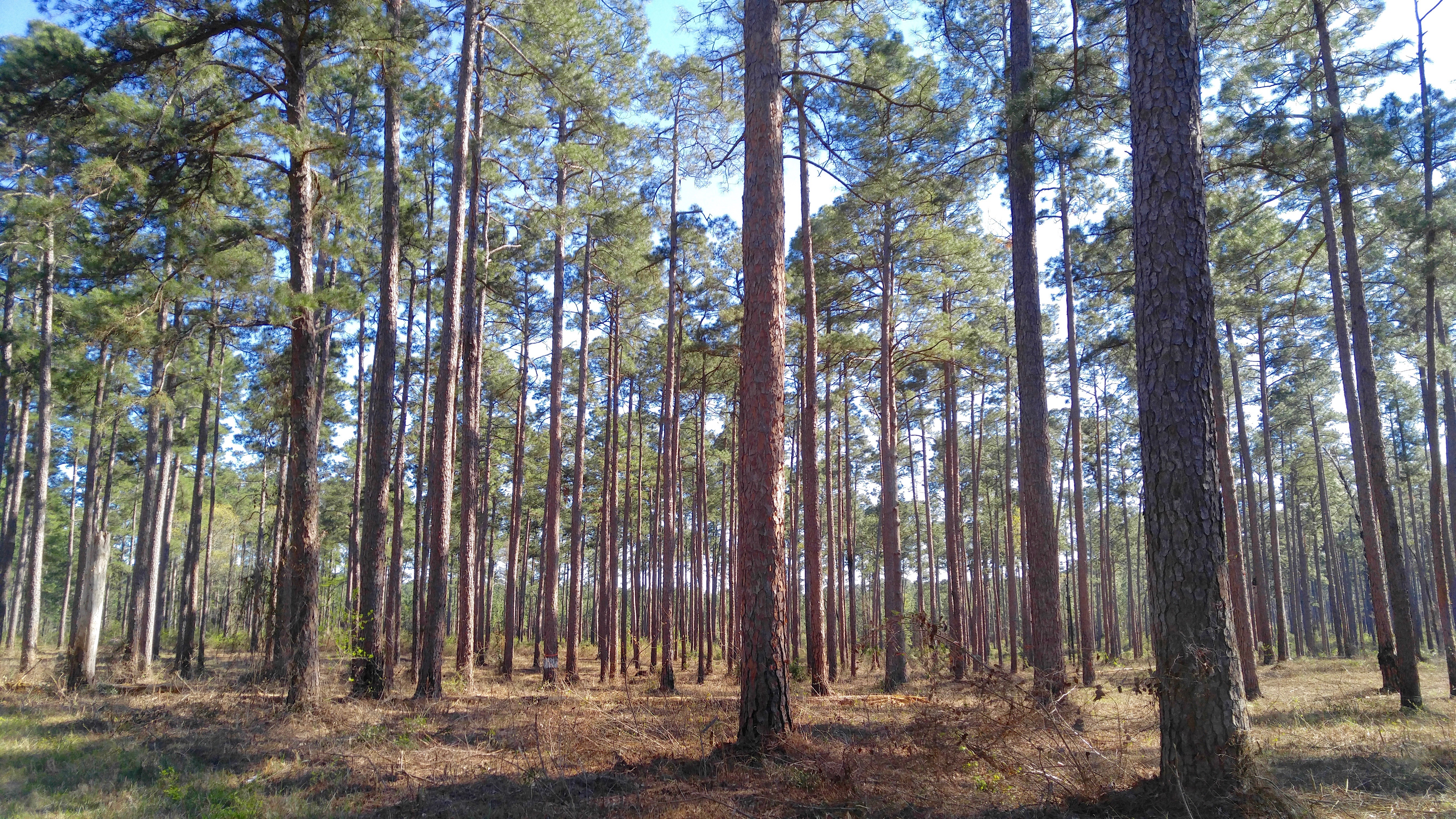
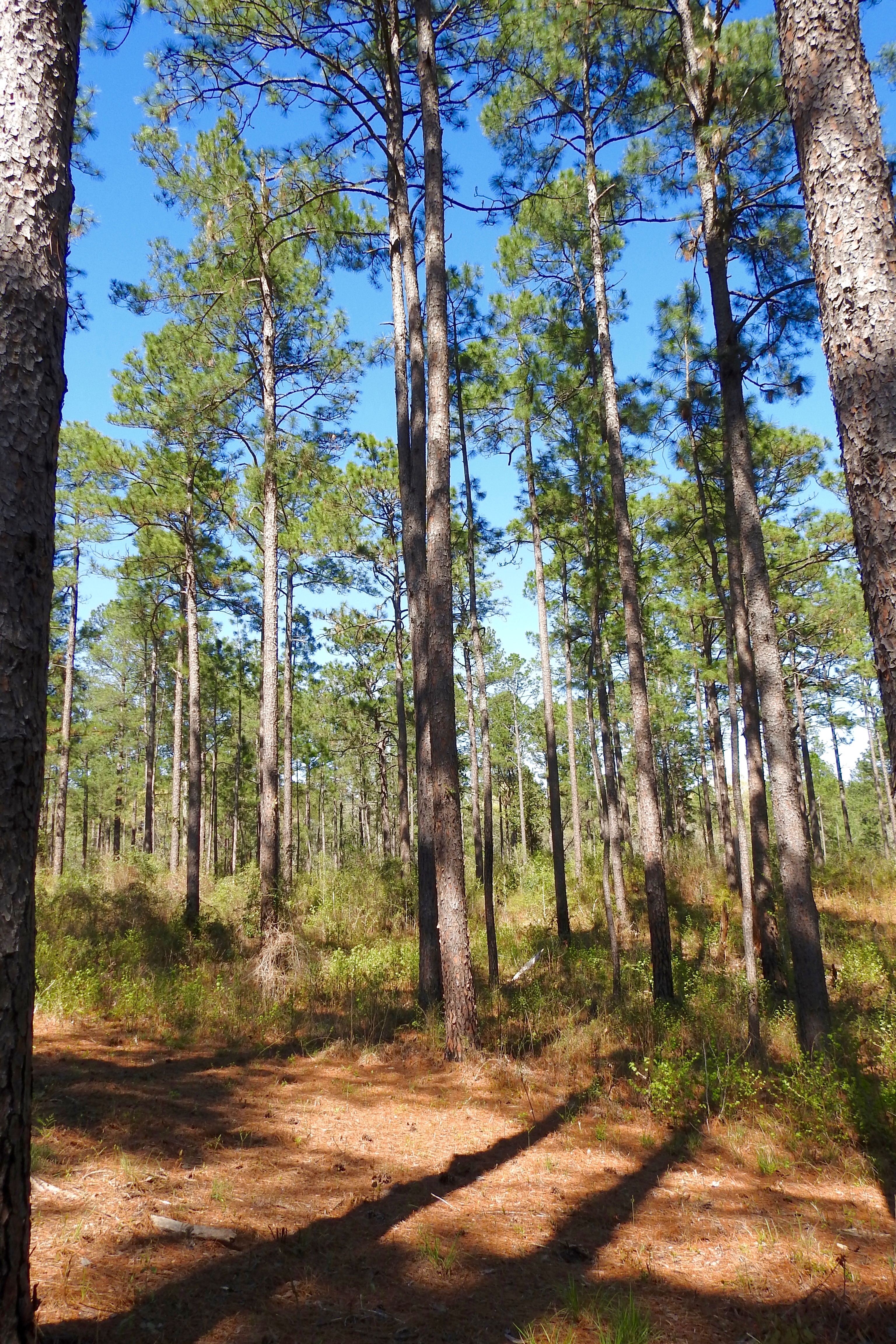
Forest Route 231

Forest Route 231
Forest Route 231
Valentine Lake Rd.

Valentine Lake Rd.

off Twin Bridges Rd.

off FSR 240
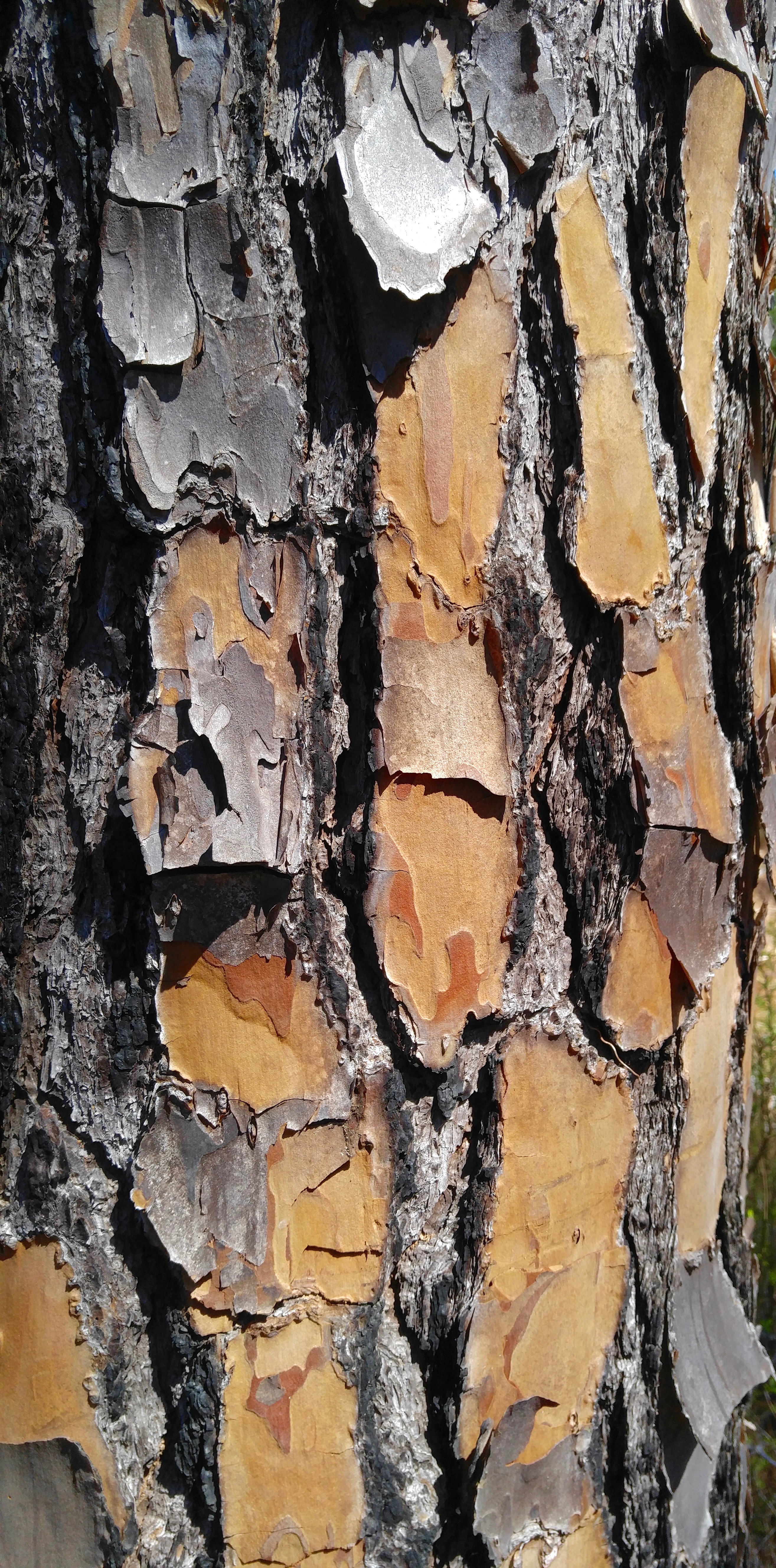
Longleaf Pine bark
Messina Rd.
off FSR 277
off FSR 277
Topographic Map of Harry Ray Rd, Glenmora, LA, USA
Find elevation by address:

Places near Harry Ray Rd, Glenmora, LA, USA:
8 E River Rd, Glenmora, LA, USA
Elmer
12 Melder Rd, Glenmora, LA, USA
149 Jeris Wells Rd
Hineston
206 La-463
167 Grayson Marler Rd
Ian Johnson Rd, Sieper, LA, USA
H
Westport
Castor Plunge Rd, Woodworth, LA, USA
613 12th Ave
Glenmora
1903 Britt Dr
Rapides Parish
LA-, Forest Hill, LA, USA
Ian Johnson Rd, Otis, LA, USA
Forest Hill
2002 Turkey Creek Rd
LA-, Boyce, LA, USA
Recent Searches:
- Elevation of Corso Fratelli Cairoli, 35, Macerata MC, Italy
- Elevation of Tallevast Rd, Sarasota, FL, USA
- Elevation of 4th St E, Sonoma, CA, USA
- Elevation of Black Hollow Rd, Pennsdale, PA, USA
- Elevation of Oakland Ave, Williamsport, PA, USA
- Elevation of Pedrógão Grande, Portugal
- Elevation of Klee Dr, Martinsburg, WV, USA
- Elevation of Via Roma, Pieranica CR, Italy
- Elevation of Tavkvetili Mountain, Georgia
- Elevation of Hartfords Bluff Cir, Mt Pleasant, SC, USA