Elevation of Elmer, LA, USA
Location: United States > Louisiana > Rapides Parish > H >
Longitude: -92.680978
Latitude: 31.132408
Elevation: 56m / 184feet
Barometric Pressure: 101KPa
Elevation Map:
Satellite Map:
Related Photos:

Lake Kincaid

Nice morning view. #wildazaleatrail #campvibes #bigagnes #seedhousesl3 #camping #helinox

Forest Rds. 208-277 area

Valentine Lake

Kincaid Lake

Hiking on the #wildazaleatrail in #kisatche #nationalforest #hiking #onlylouisiana

Home site before construction 1

Louisiana 121

Lake Valentine Afternoon
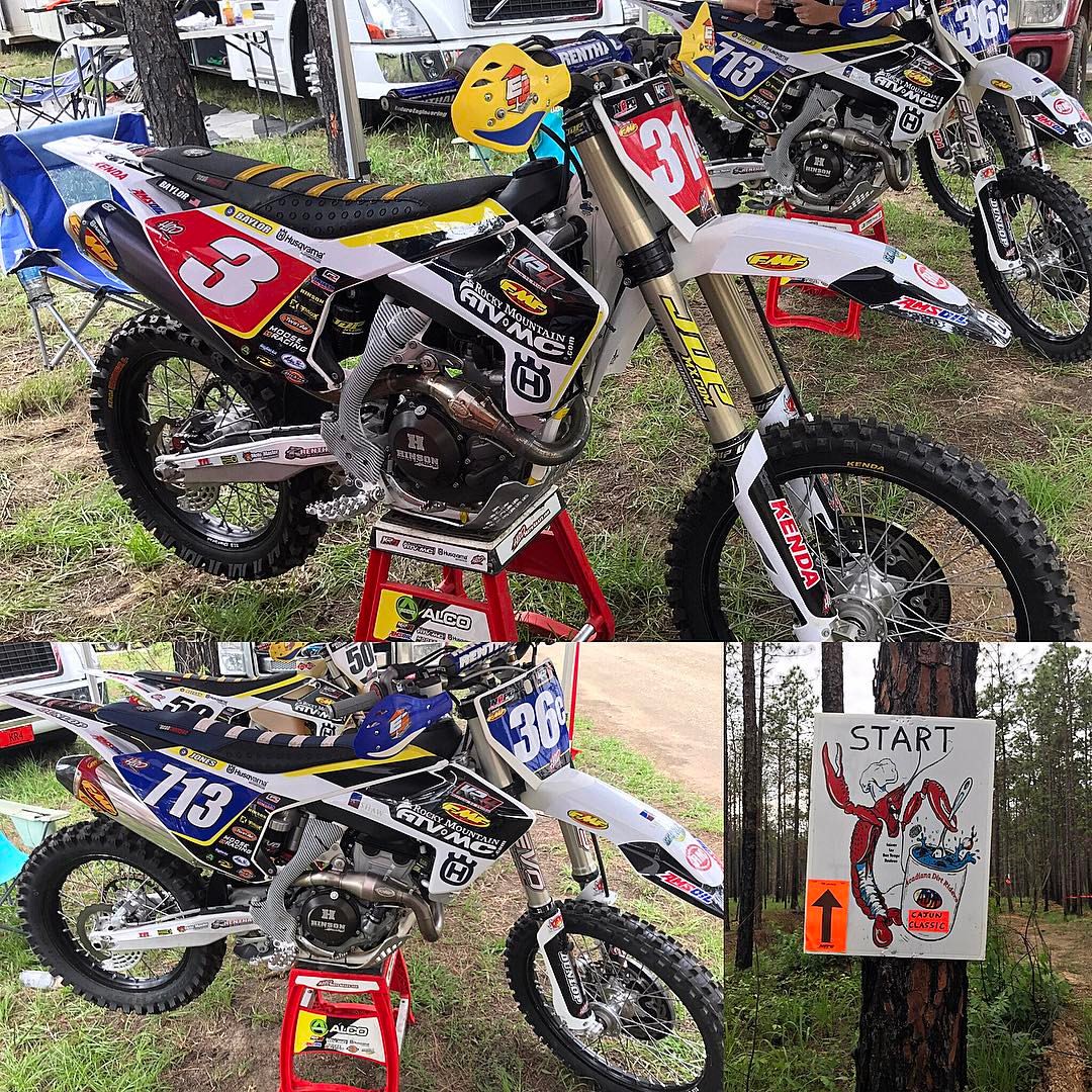
@grbaylor1 and @taylajones713 ready for the @nepgenduro #cajunclassic #nepg @rmatvmc #KR4 @husqvarna_usa @officialmooseracing @kendatire @amsoilinc @dickiesofficial @enduroengineering

☀️ It's warm down here in Louisiana! We were playing in sand and outside having a picnic at the beach ! Tag your beach friends!⠀ ⠀ This past weekend we went to Indian Creek in the Alexandria State Forest. It was an absolutely beautiful day and we go

Wild Azalea at Lake Kincaid Reservoir

Forest Route 209

Rd. 273

Rd. 273

off Rd. 240

off Messina Rd.

off Messina Rd.

Forest Route 212

Forest Route 212

off Forest Route 209

Forest Route 209

Forest Route 209

Forest Route 209
Topographic Map of Elmer, LA, USA
Find elevation by address:

Places near Elmer, LA, USA:
149 Jeris Wells Rd
Hineston
167 Grayson Marler Rd
206 La-463
Ian Johnson Rd, Sieper, LA, USA
Castor Plunge Rd, Woodworth, LA, USA
LA-, Boyce, LA, USA
Rapides Parish
Ian Johnson Rd, Otis, LA, USA
E
303 N Spring Dr
Woodworth
101 Sandy Ln
Coulee Crossing Rd, Woodworth, LA, USA
5703 Jackson St
5815 Navaho Trail
1407 Alden Ct
5419 Jackson St
G
1940 Plantation Dr
Recent Searches:
- Elevation of Corso Fratelli Cairoli, 35, Macerata MC, Italy
- Elevation of Tallevast Rd, Sarasota, FL, USA
- Elevation of 4th St E, Sonoma, CA, USA
- Elevation of Black Hollow Rd, Pennsdale, PA, USA
- Elevation of Oakland Ave, Williamsport, PA, USA
- Elevation of Pedrógão Grande, Portugal
- Elevation of Klee Dr, Martinsburg, WV, USA
- Elevation of Via Roma, Pieranica CR, Italy
- Elevation of Tavkvetili Mountain, Georgia
- Elevation of Hartfords Bluff Cir, Mt Pleasant, SC, USA