Elevation of US-, Forest Hill, LA, USA
Location: United States > Louisiana > Rapides Parish > H > Forest Hill >
Longitude: -92.520766
Latitude: 31.075335
Elevation: 57m / 187feet
Barometric Pressure: 101KPa
Elevation Map:
Satellite Map:
Related Photos:
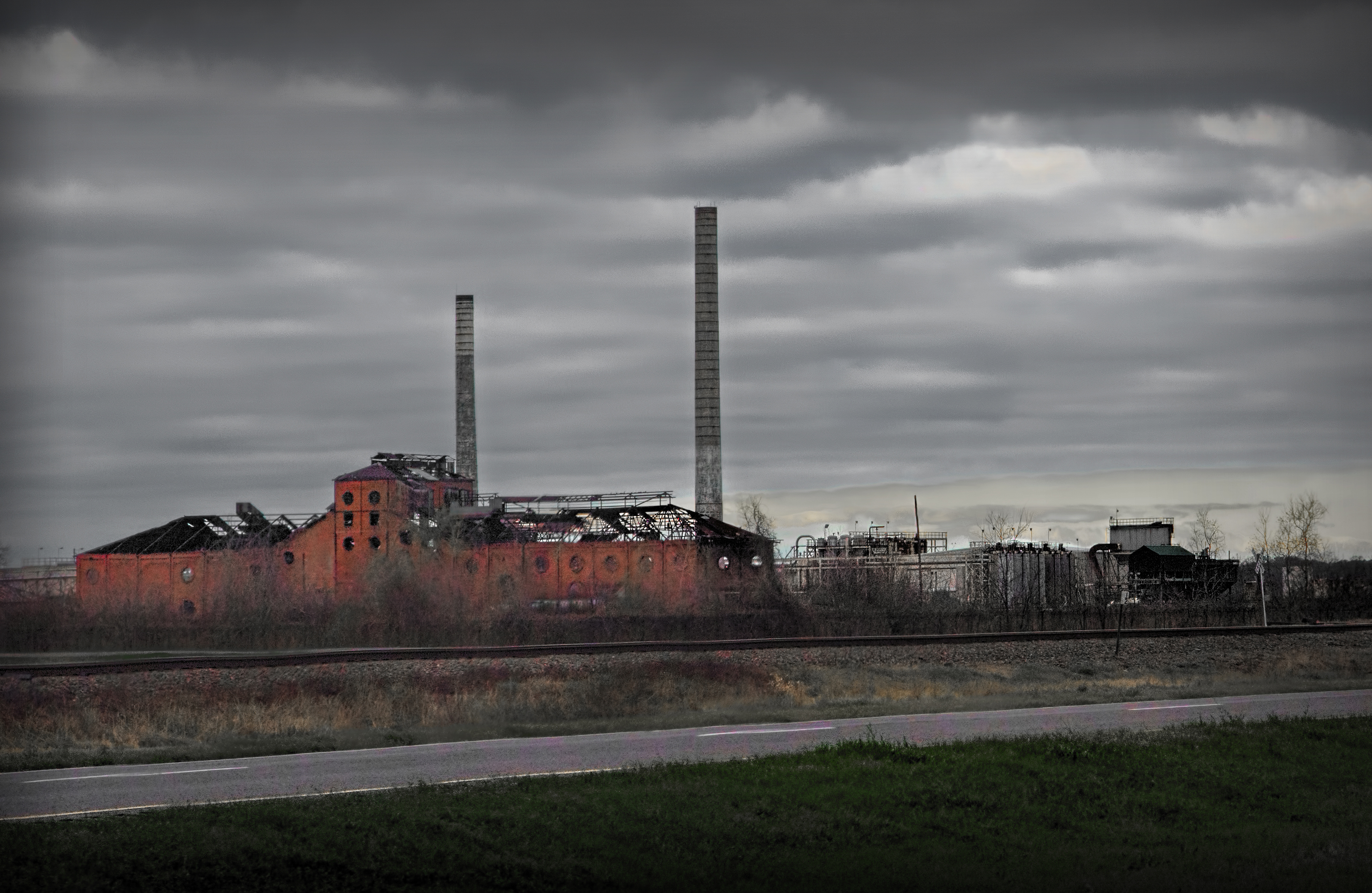
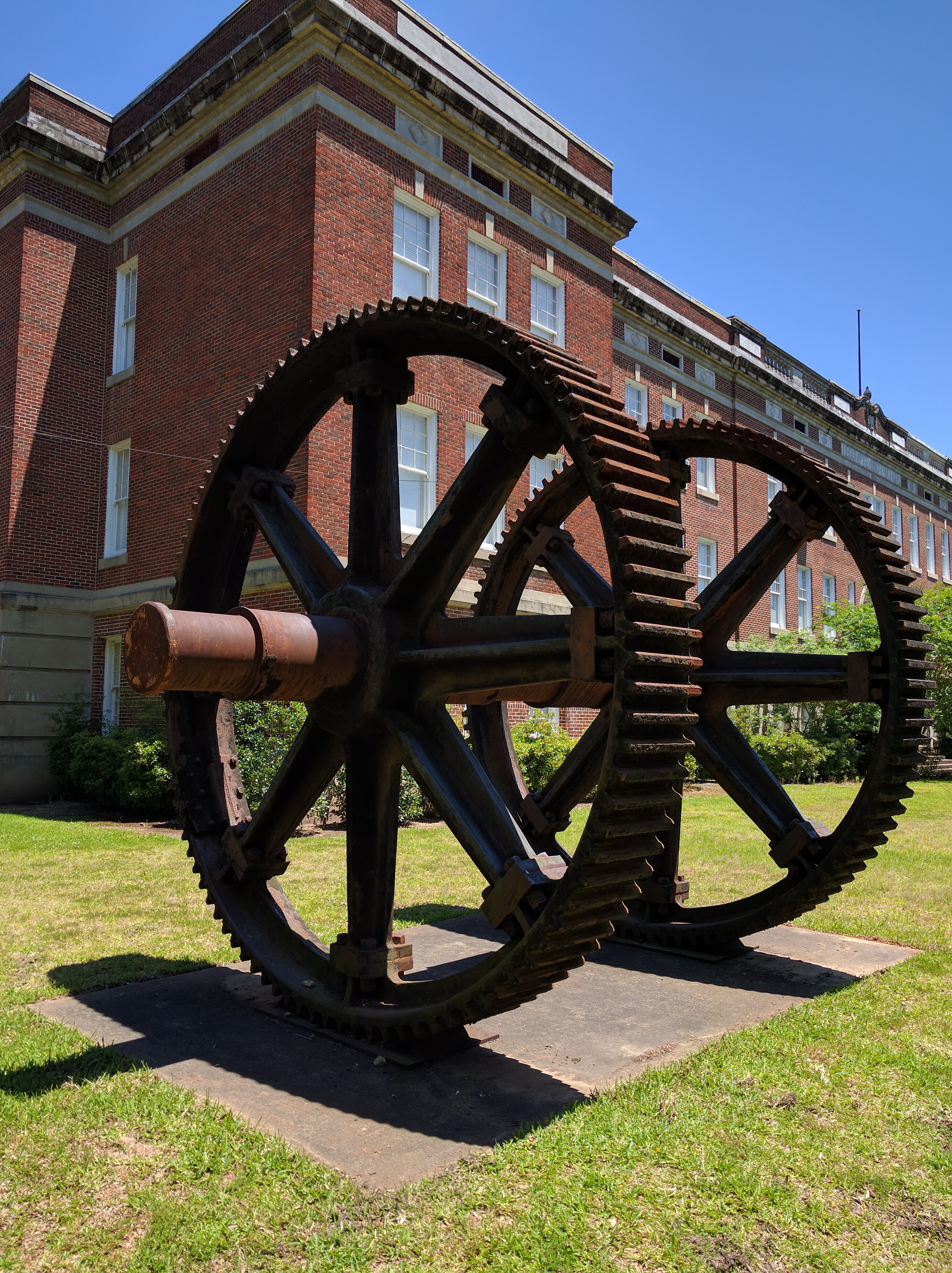
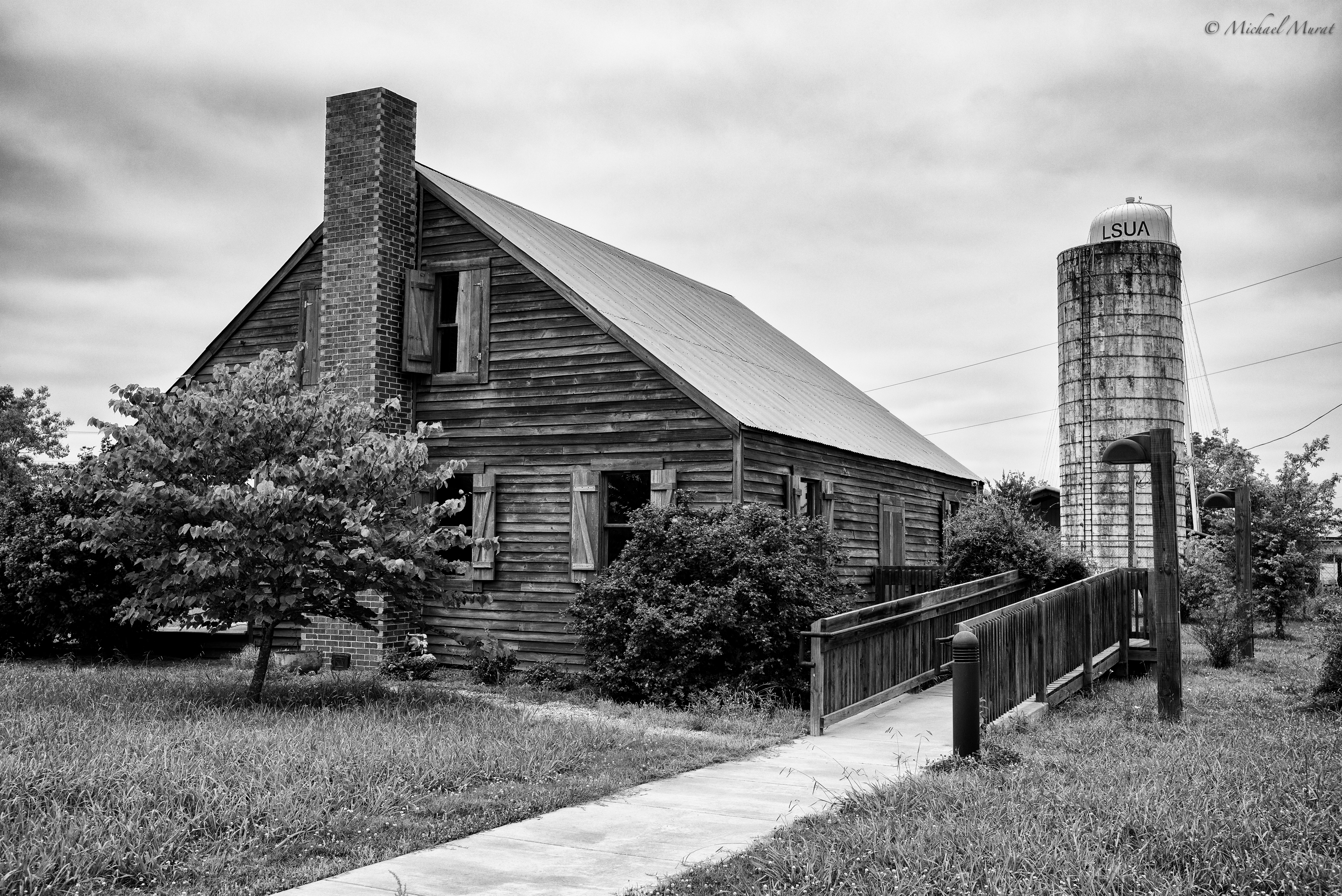
old sugar mill
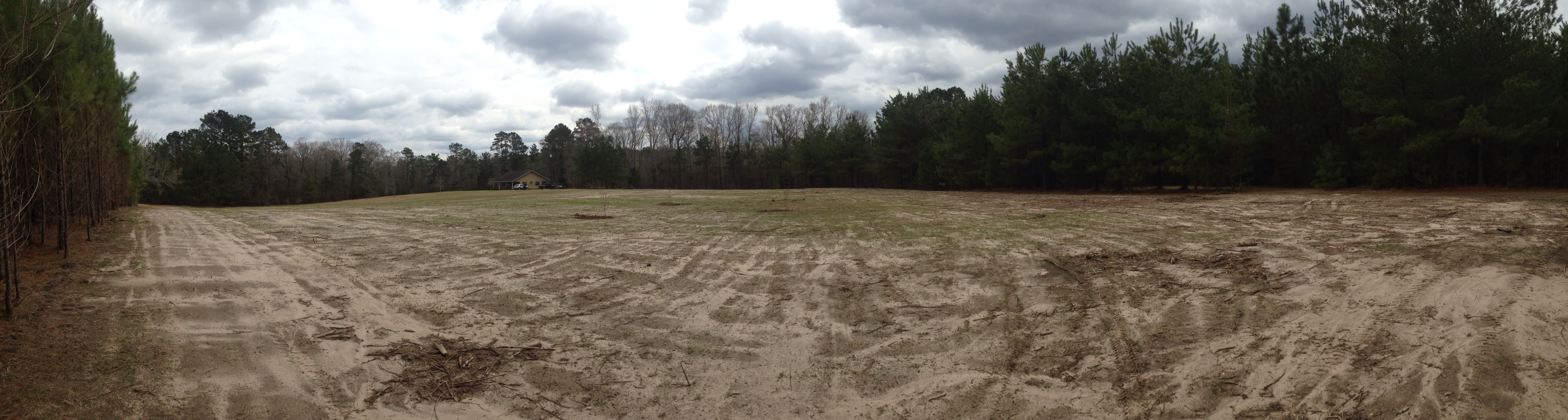
Home site before construction 1
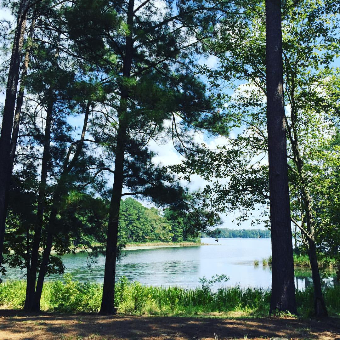
The clearest way into the Universe is through a forest wilderness! #forest @trees #river #water ????????
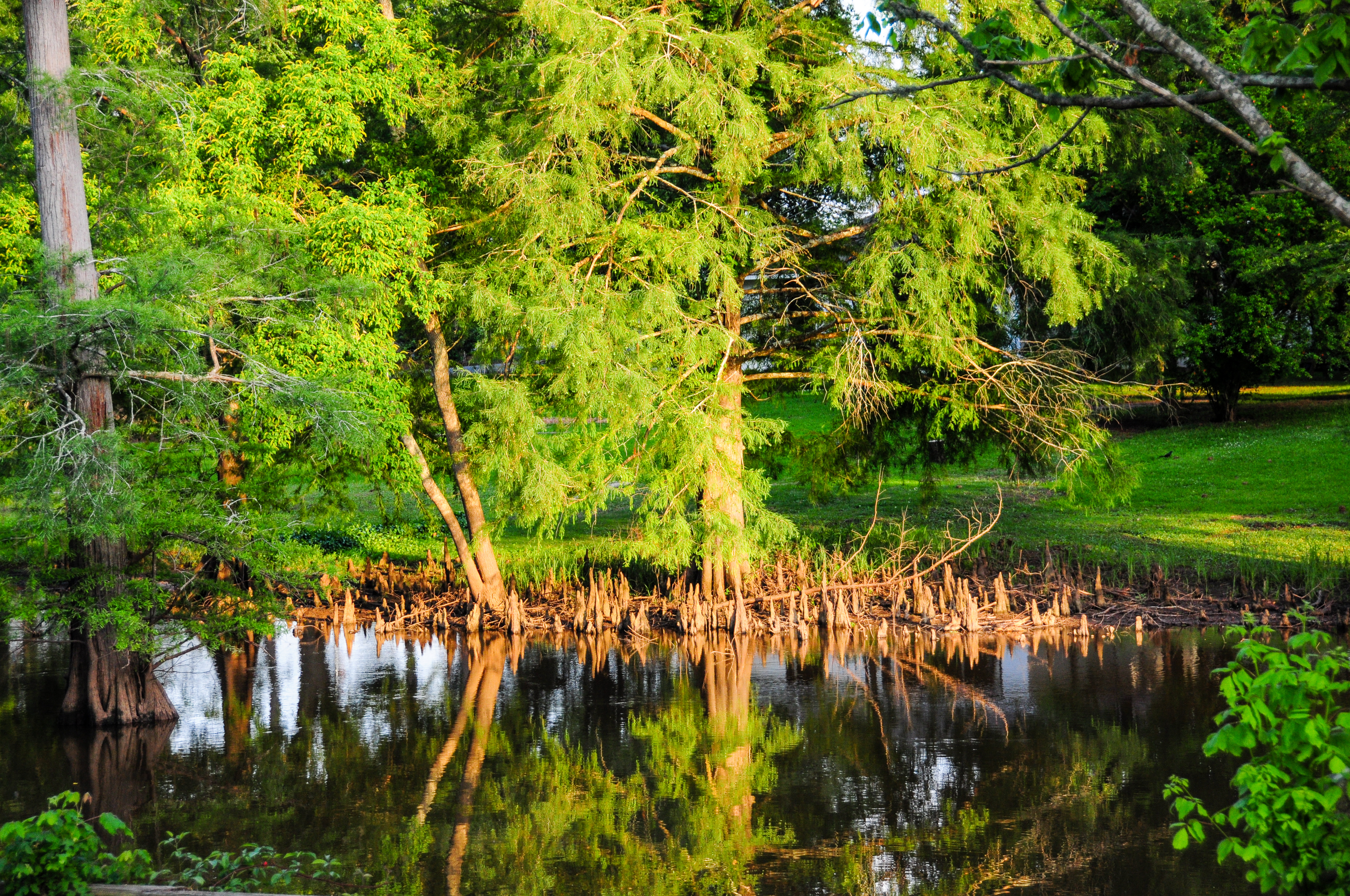
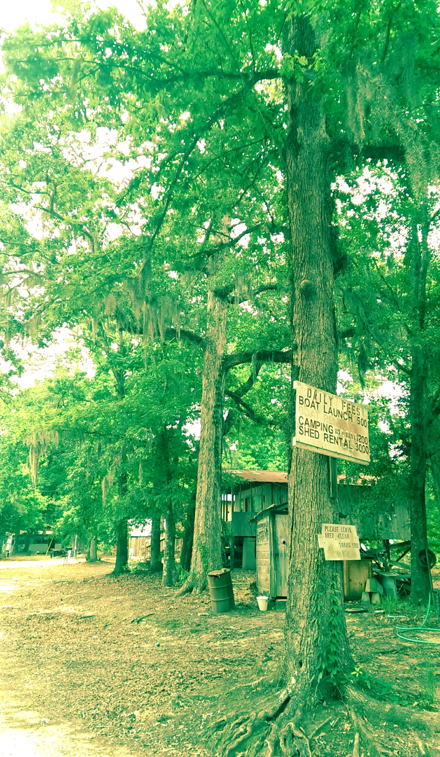
Bayou Boeuf
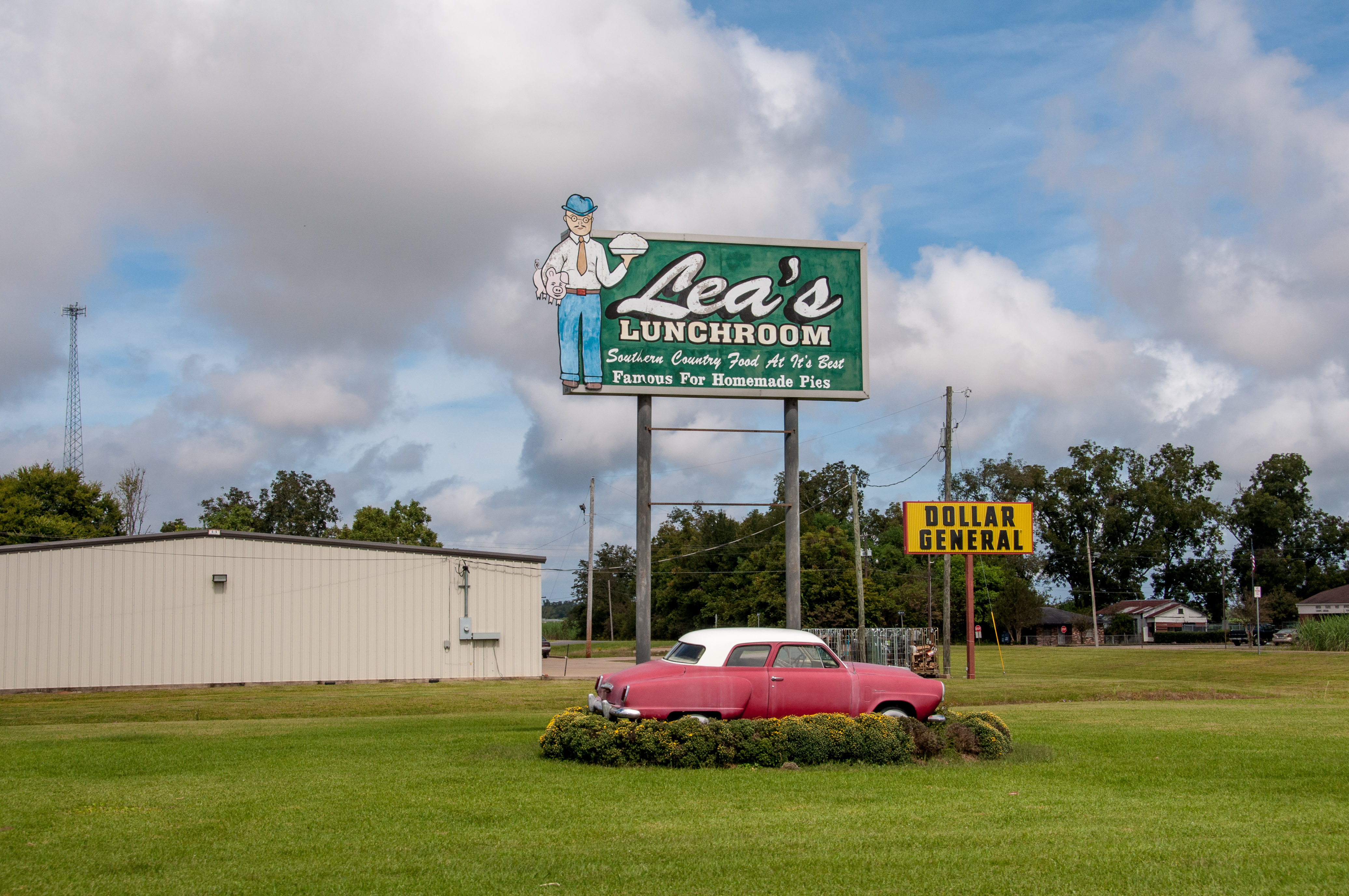
Lea's Lunchroom
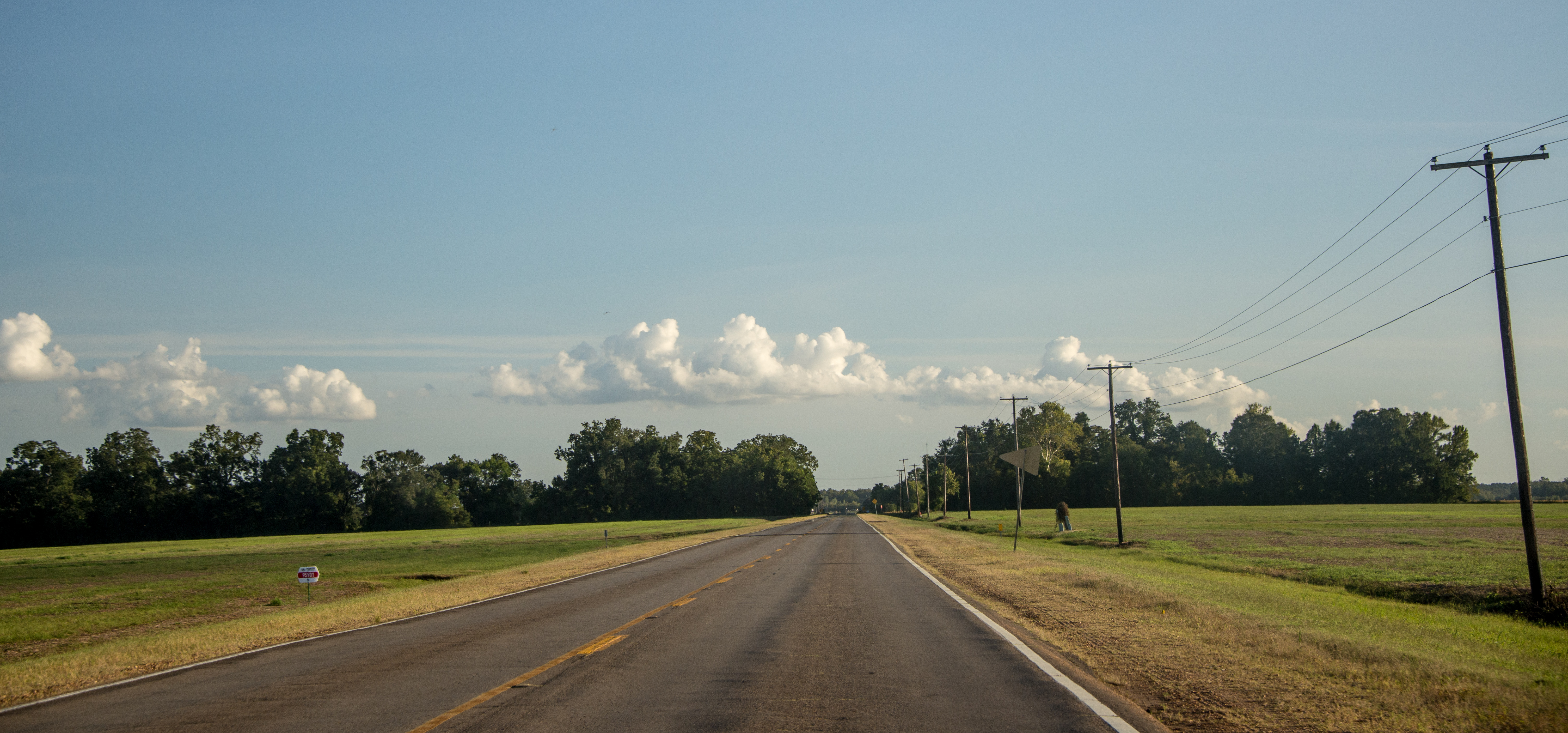
On the road in Rapides Parish, Louisiana
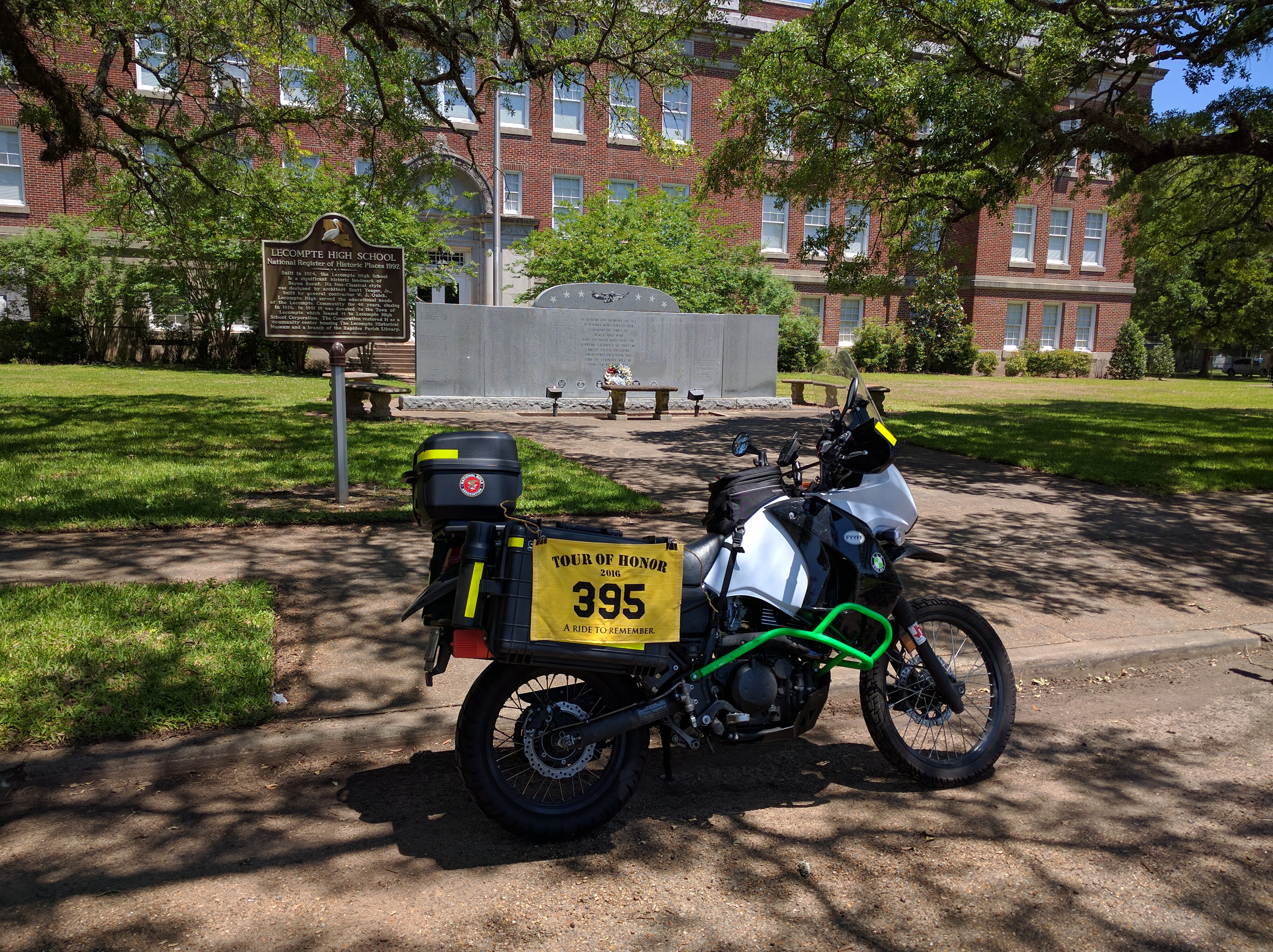
Tour of Honor 2016

Tour of Honor 2016

Tour of Honor 2016
Tour of Honor 2016

This little man is ready to hit the water! ????☀️

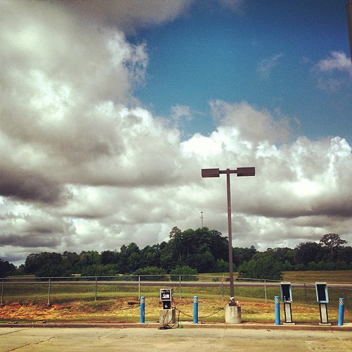
Lecompte, LA- I-49

SBC-14 Ballast Clearner @ Lamourie, LA
Epps House
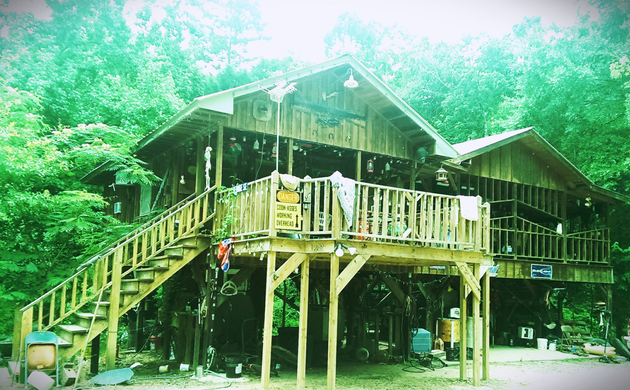
Landing house
Woods in Louisiana

Laura with her new Ruger 10/22

2013-12-26 14.24.06-2

December 26, 2013
The trip home after vacation is the longest. #roadtrip
Jerie [email protected]
Topographic Map of US-, Forest Hill, LA, USA
Find elevation by address:

Places near US-, Forest Hill, LA, USA:
3800 La-112
Forest Hill
214 Belle Trace Rd
LA-, Forest Hill, LA, USA
Rapides Parish
Woodworth
303 N Spring Dr
H
19 Toby Ln
1903 Britt Dr
Coulee Crossing Rd, Woodworth, LA, USA
2002 Turkey Creek Rd
Glenmora
12 Melder Rd, Glenmora, LA, USA
Lecompte
41 Bucks Landing Rd, Forest Hill, LA, USA
613 12th Ave
Snowden Lane
222 Snowden Ln
US-71, Lecompte, LA, USA
Recent Searches:
- Elevation of Corso Fratelli Cairoli, 35, Macerata MC, Italy
- Elevation of Tallevast Rd, Sarasota, FL, USA
- Elevation of 4th St E, Sonoma, CA, USA
- Elevation of Black Hollow Rd, Pennsdale, PA, USA
- Elevation of Oakland Ave, Williamsport, PA, USA
- Elevation of Pedrógão Grande, Portugal
- Elevation of Klee Dr, Martinsburg, WV, USA
- Elevation of Via Roma, Pieranica CR, Italy
- Elevation of Tavkvetili Mountain, Georgia
- Elevation of Hartfords Bluff Cir, Mt Pleasant, SC, USA