Elevation of Gurdaspur, Punjab, India
Location: India > Punjab > Gurdaspur >
Longitude: 75.4053367
Latitude: 32.0419424
Elevation: 264m / 866feet
Barometric Pressure: 98KPa
Elevation Map:
Satellite Map:
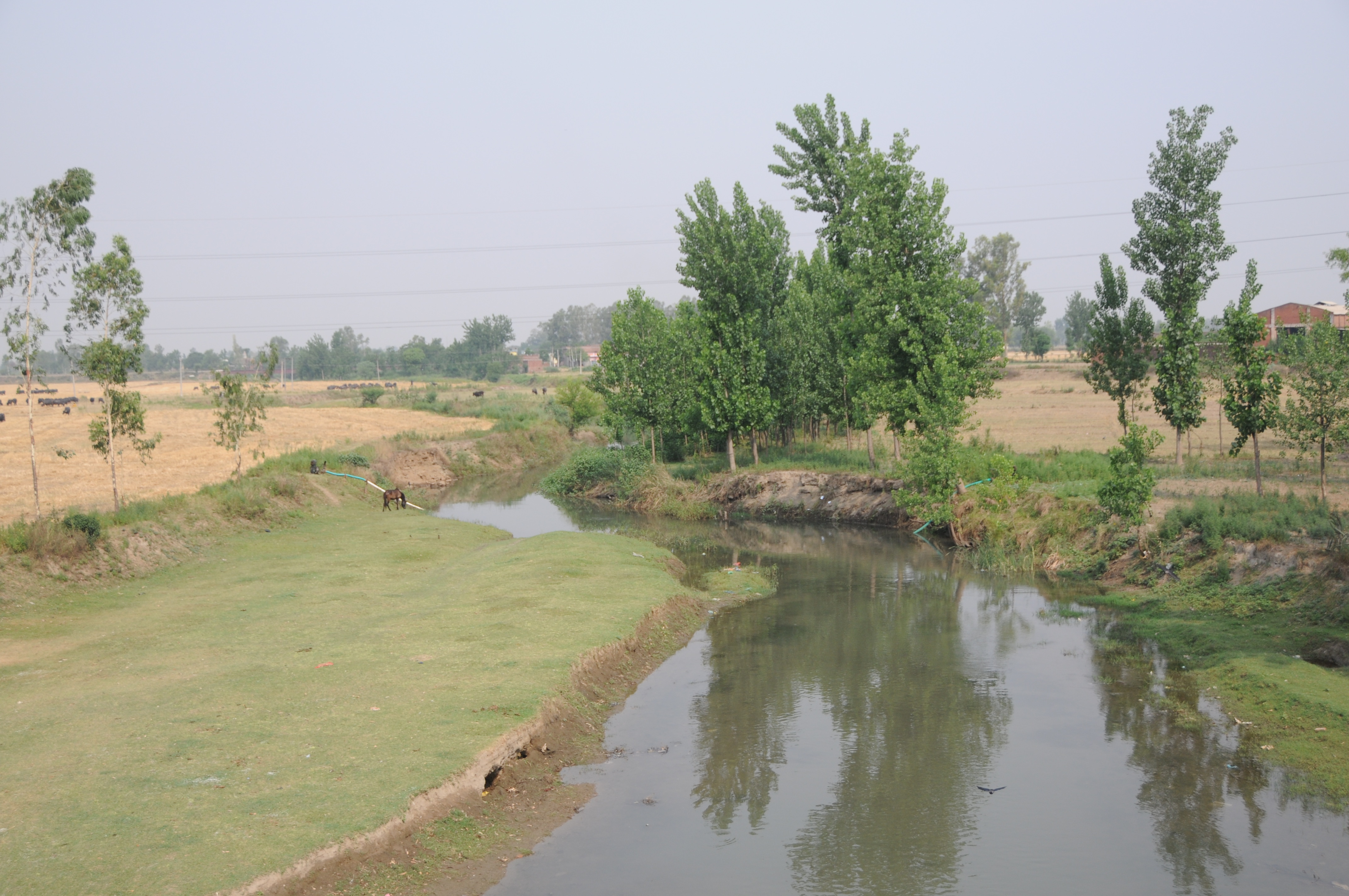
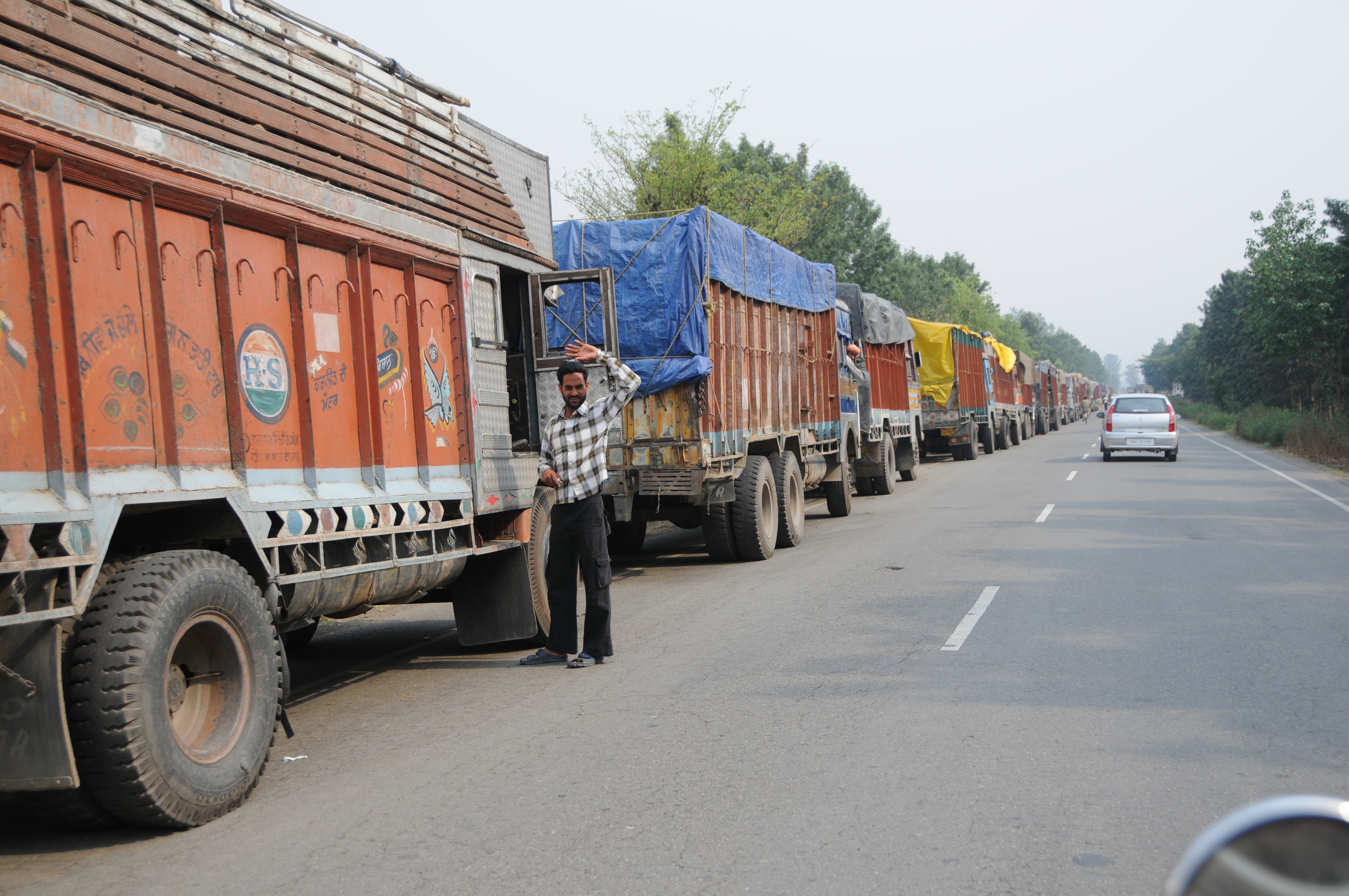
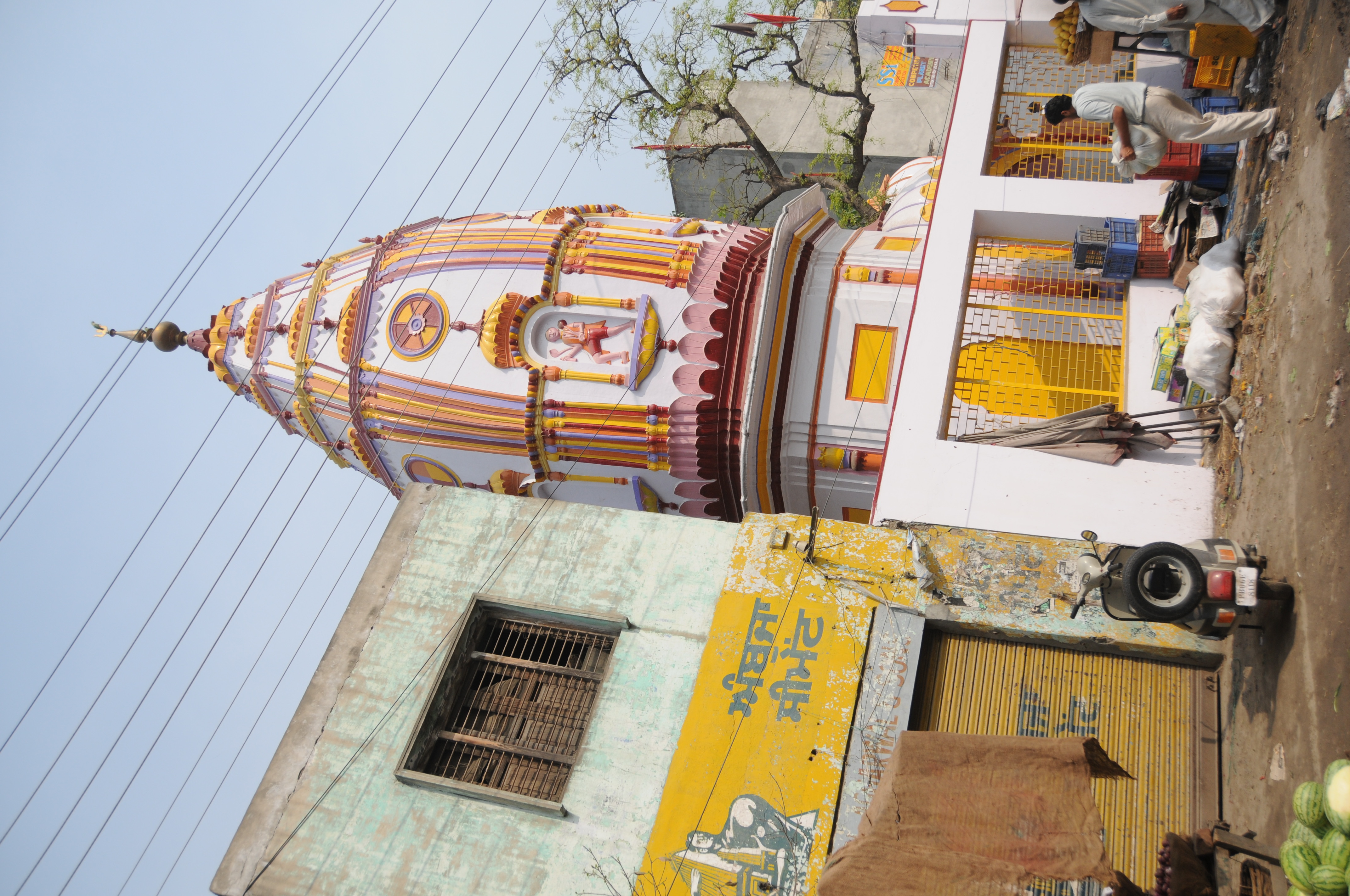
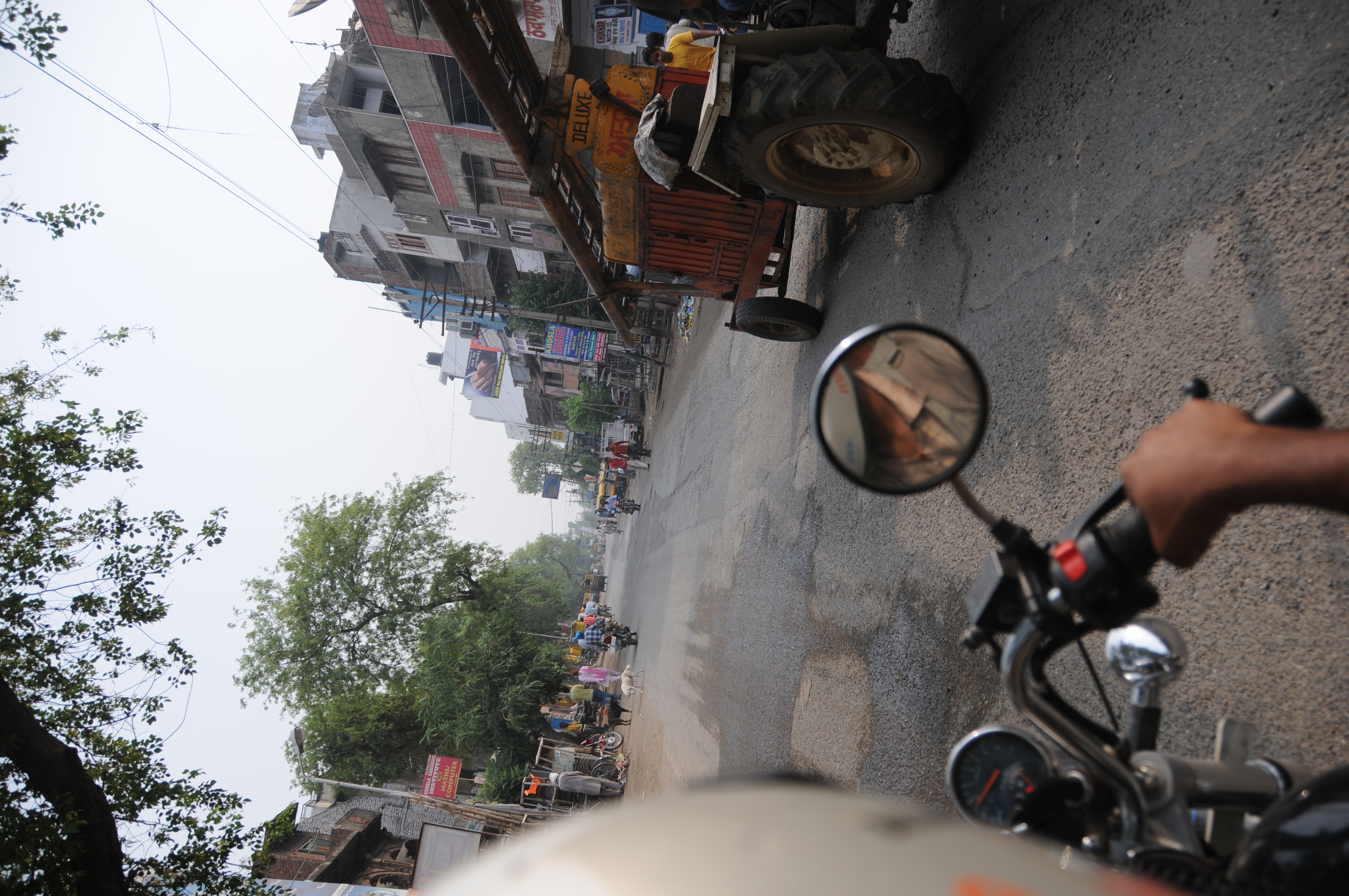
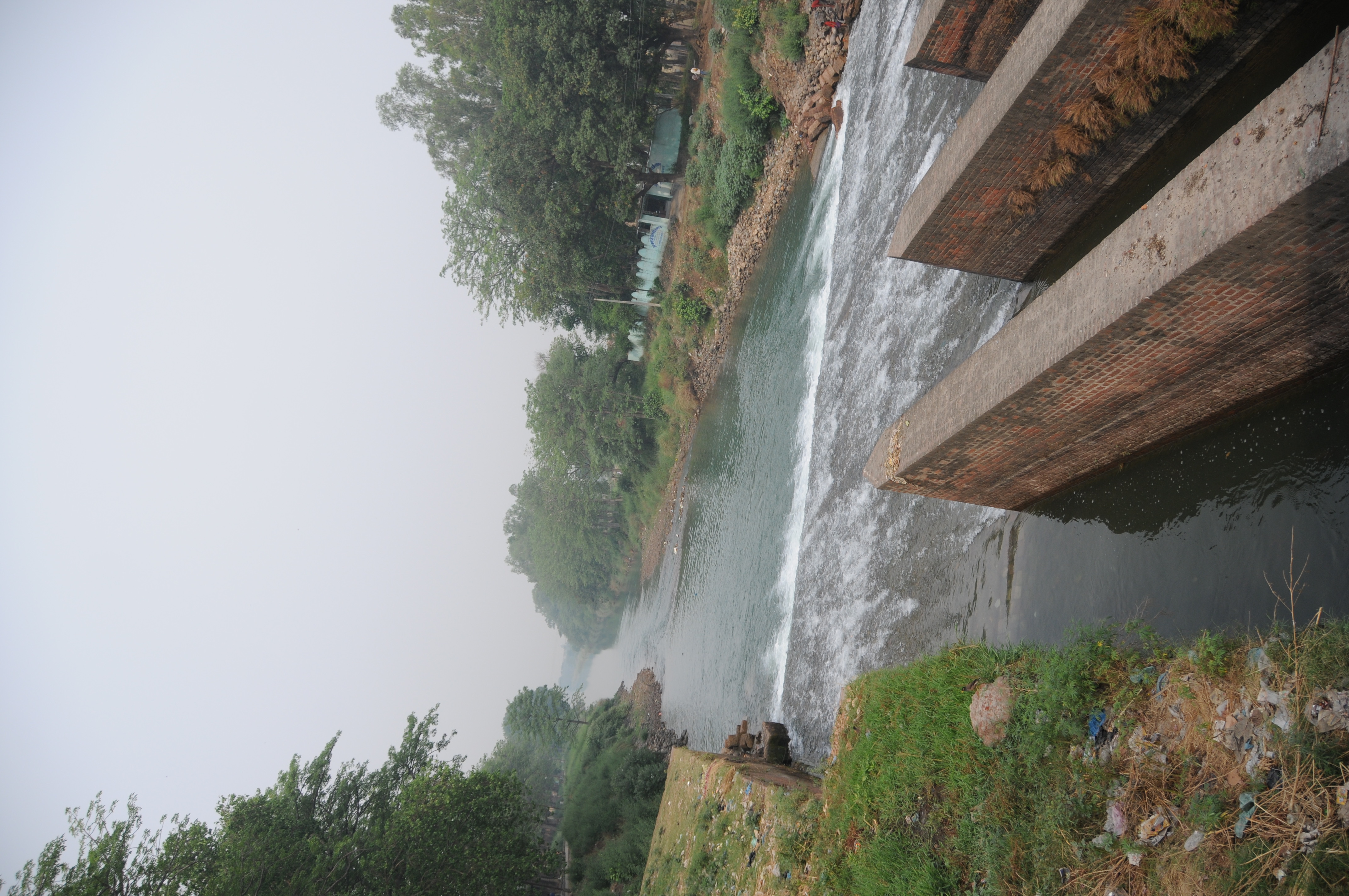
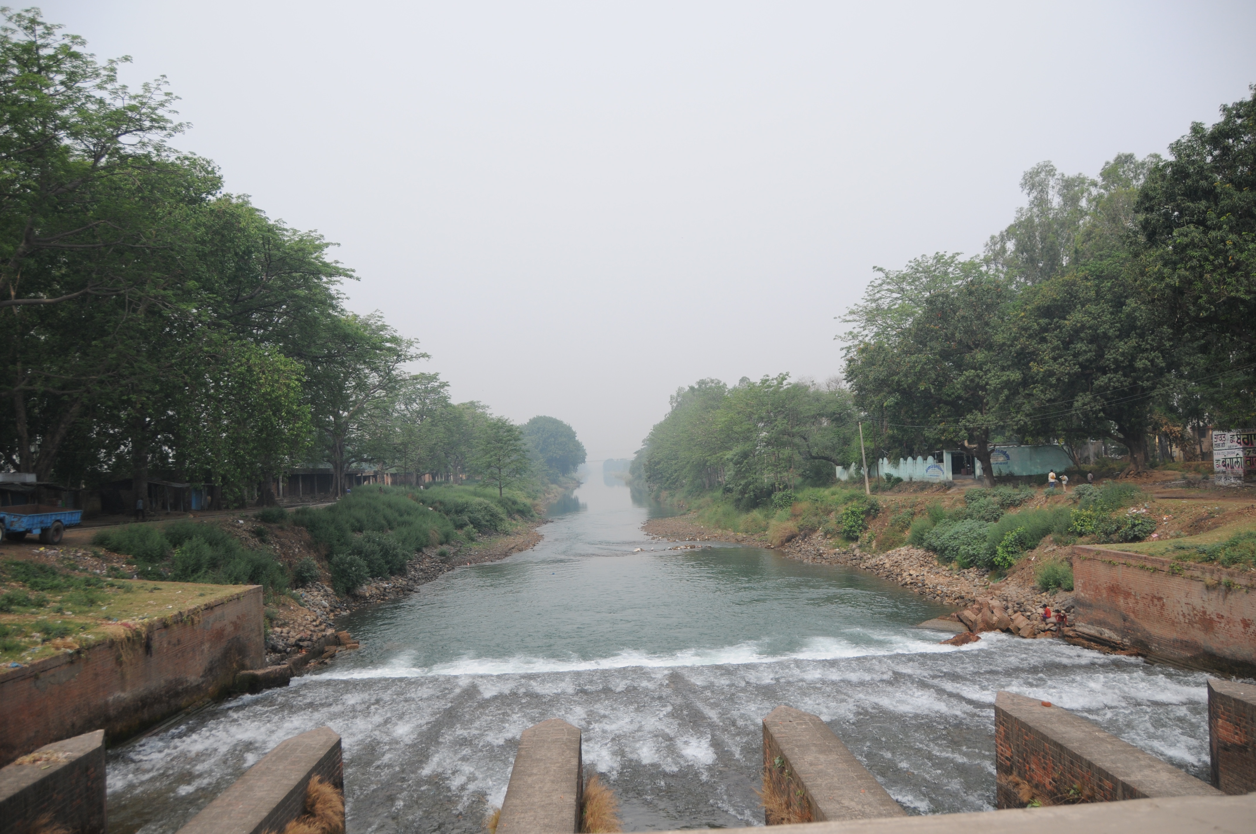
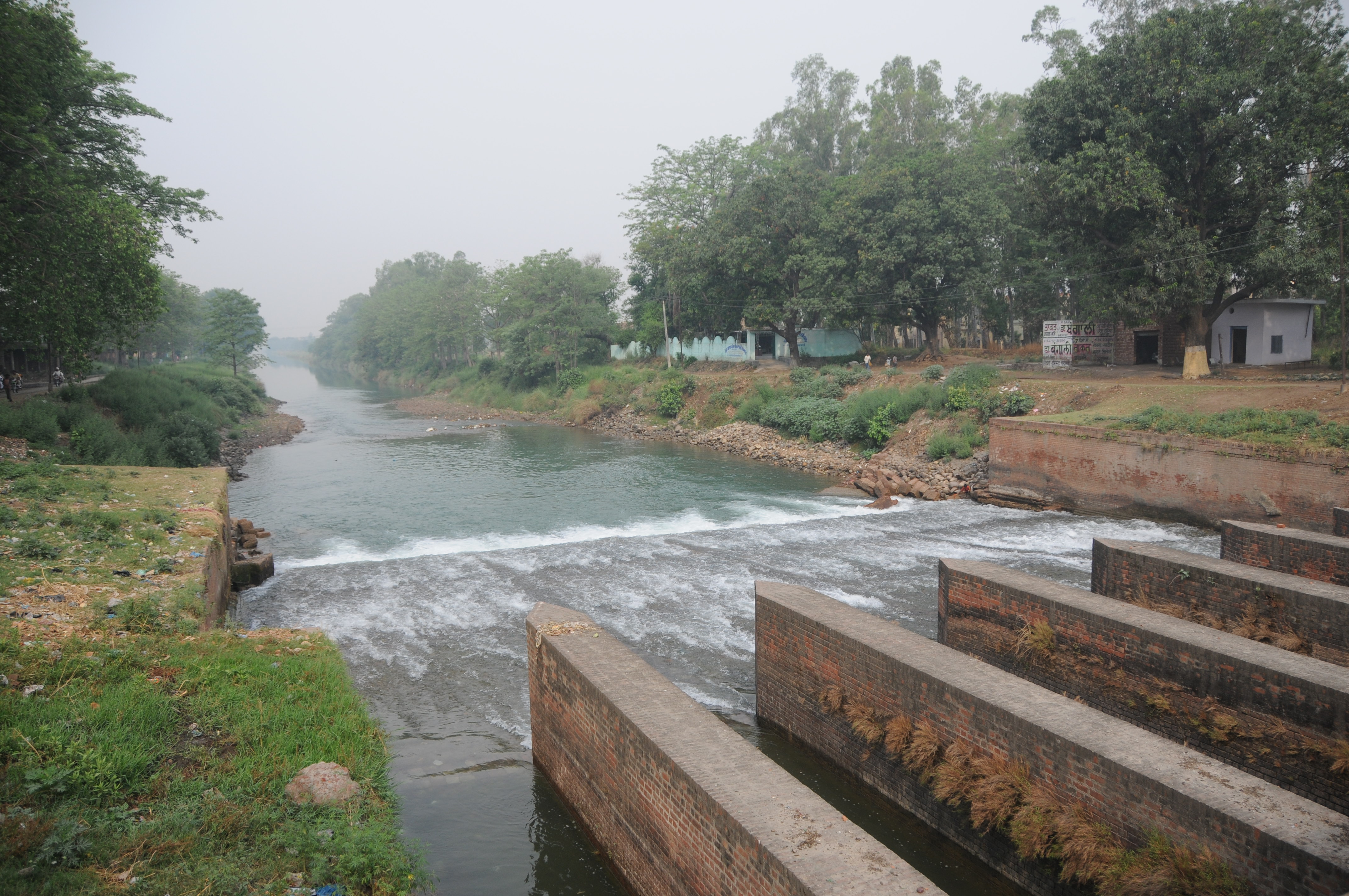
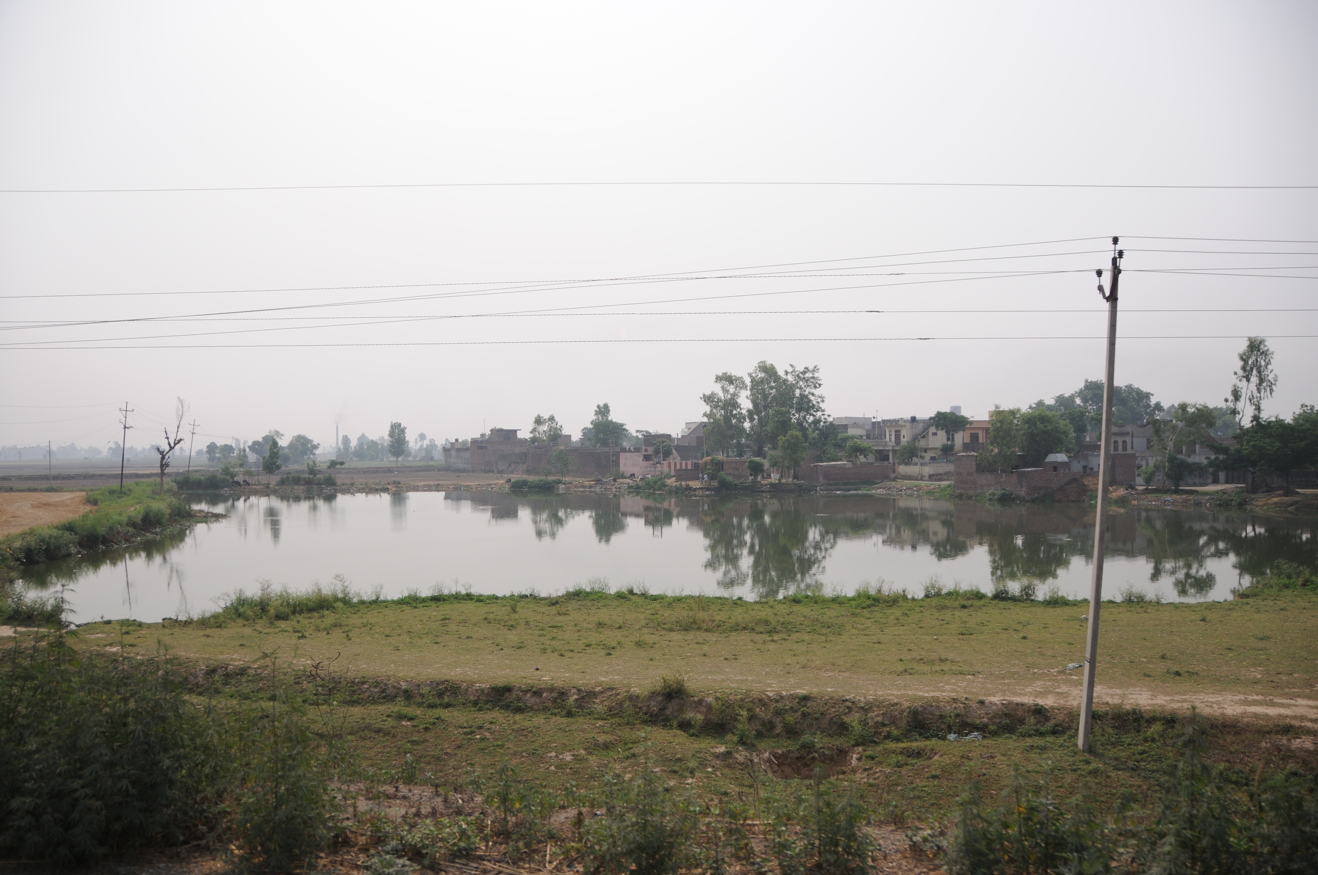
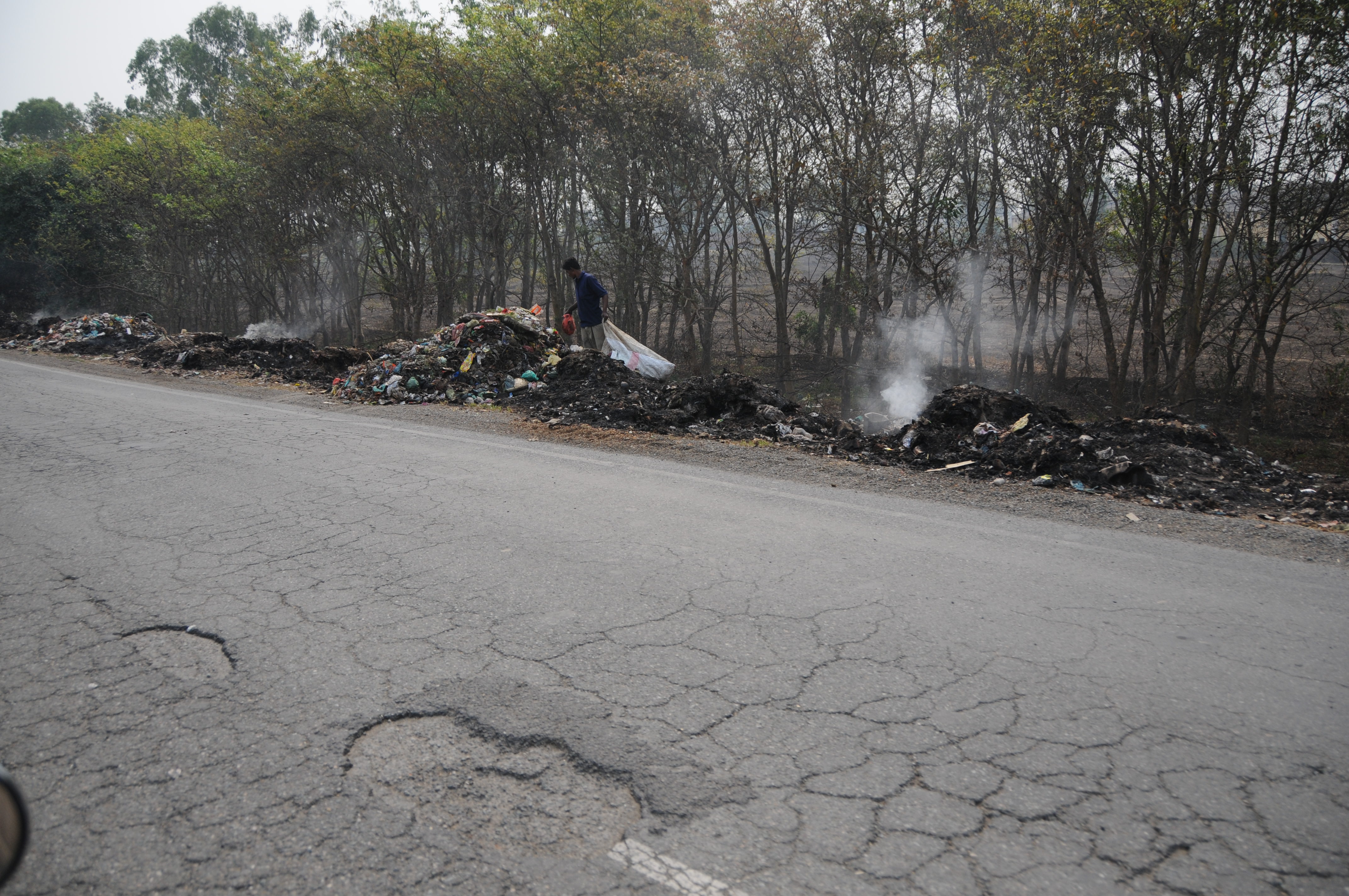
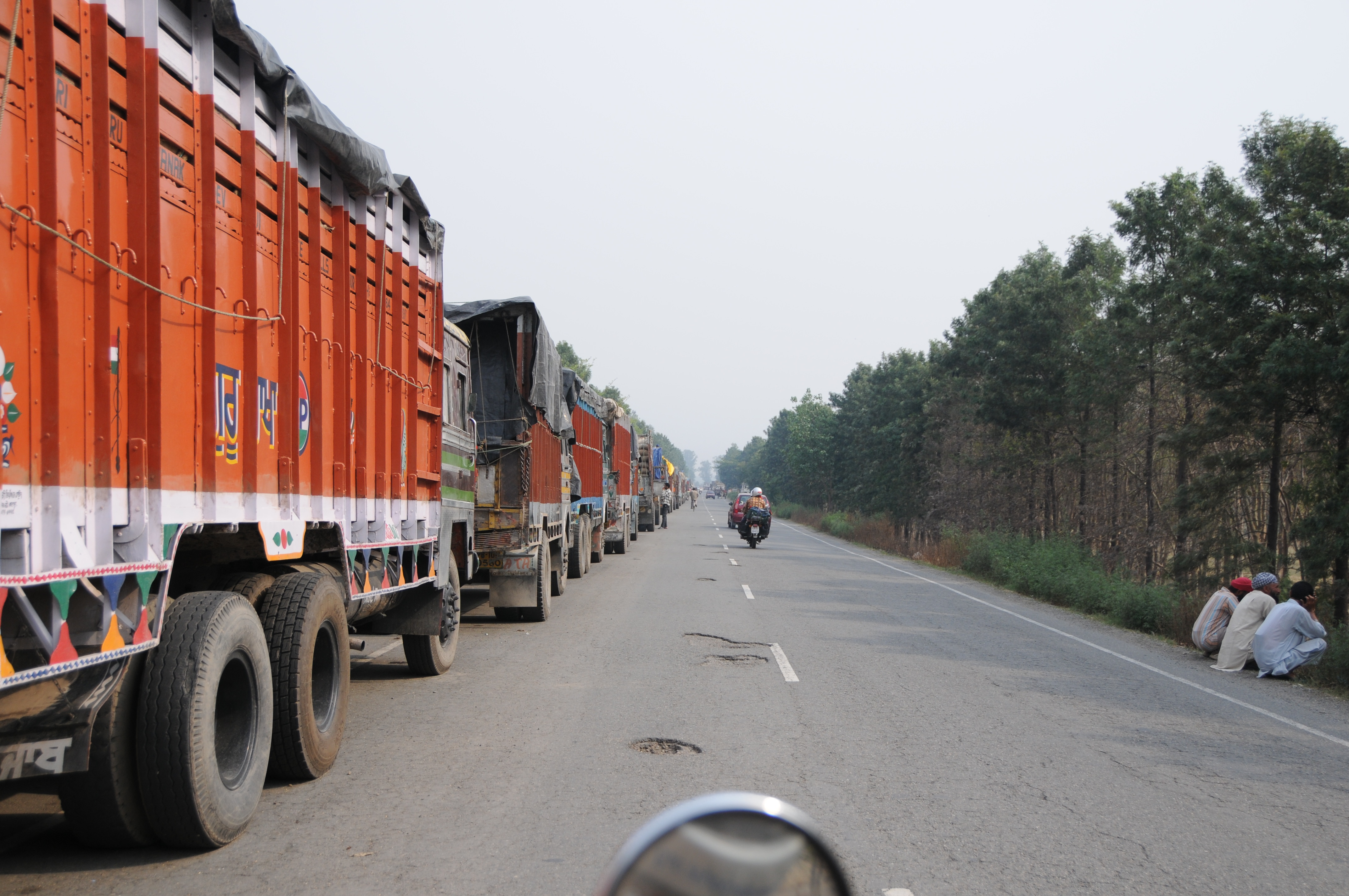
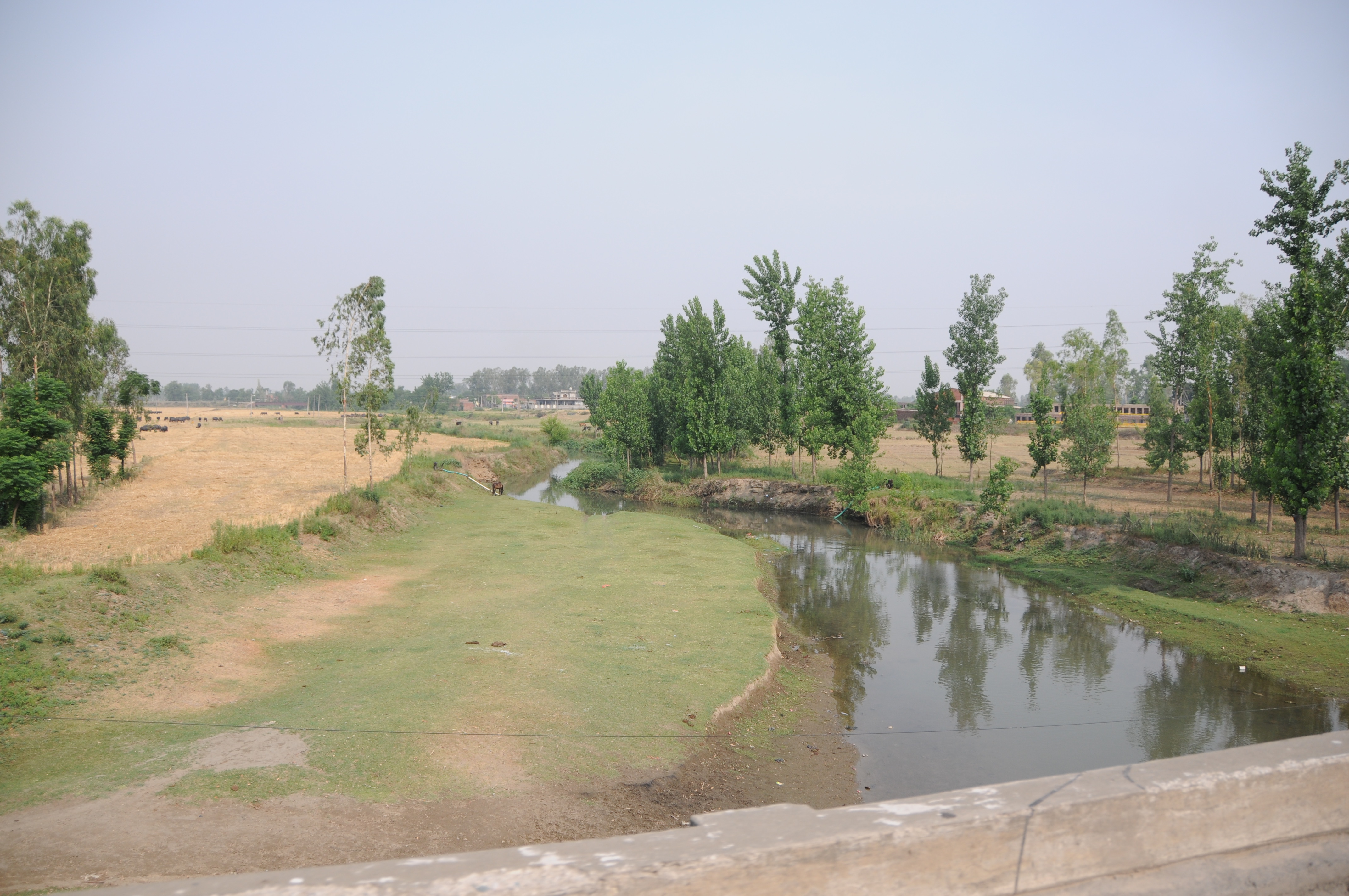
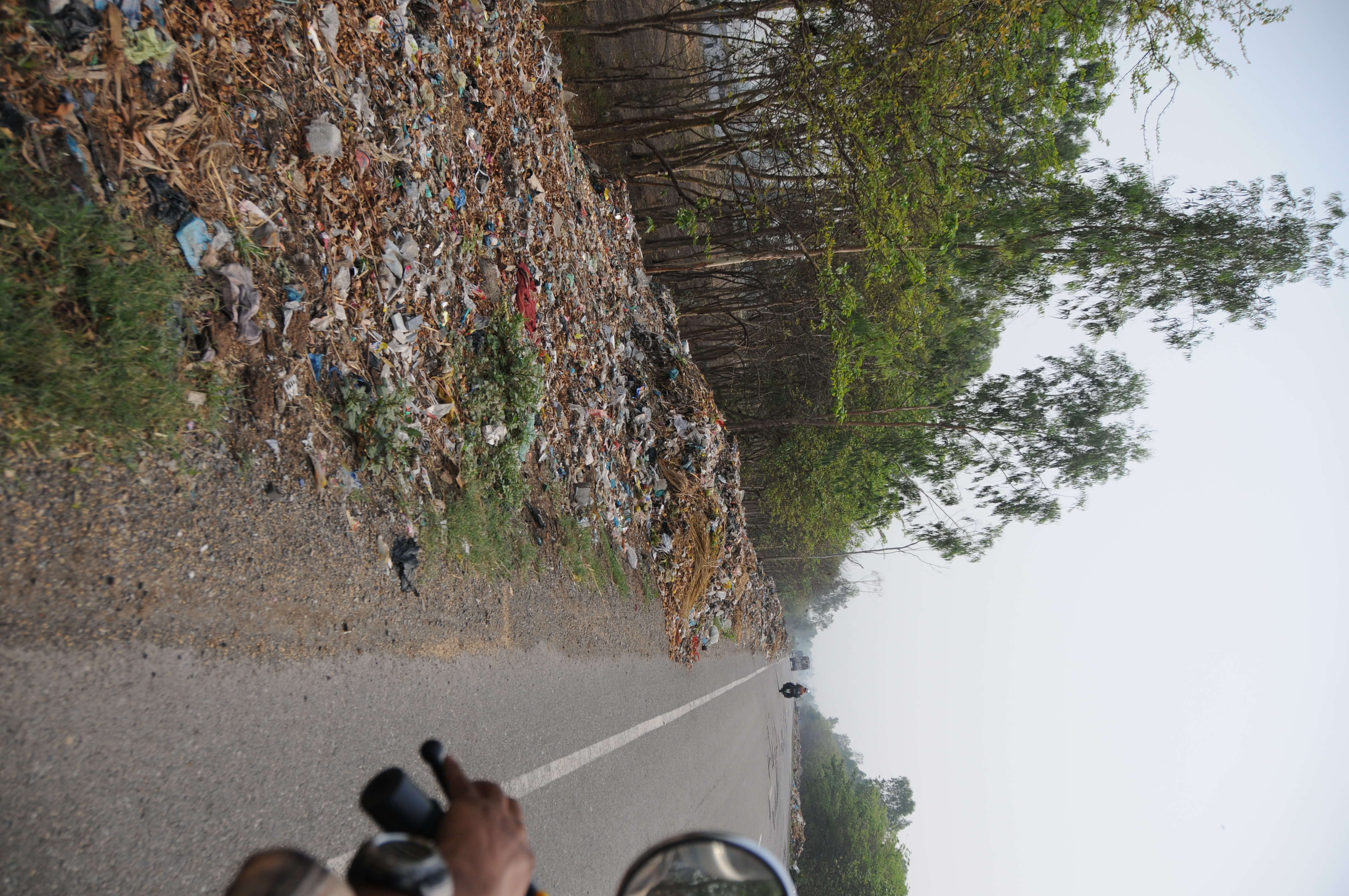
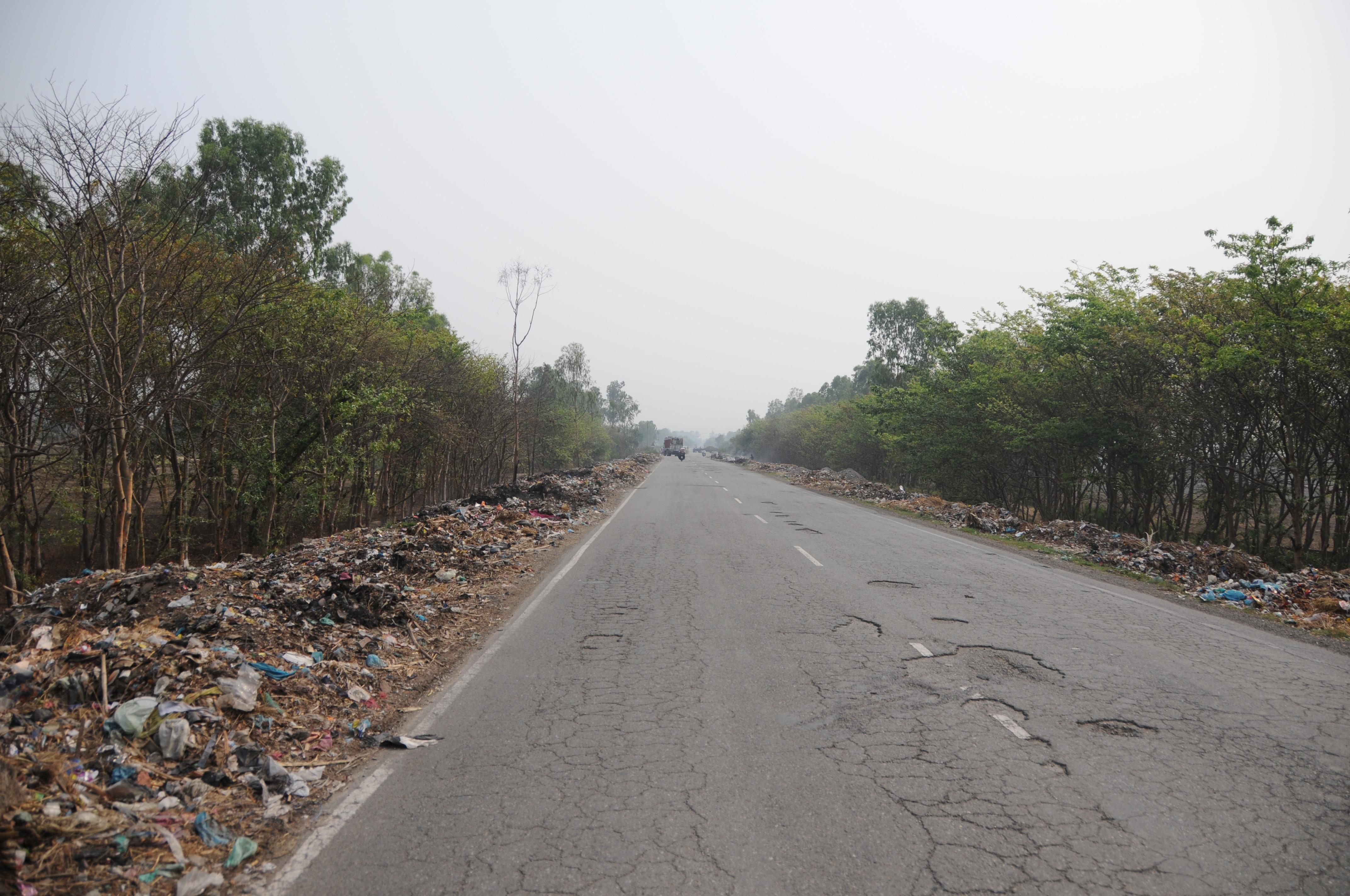
Related Photos:
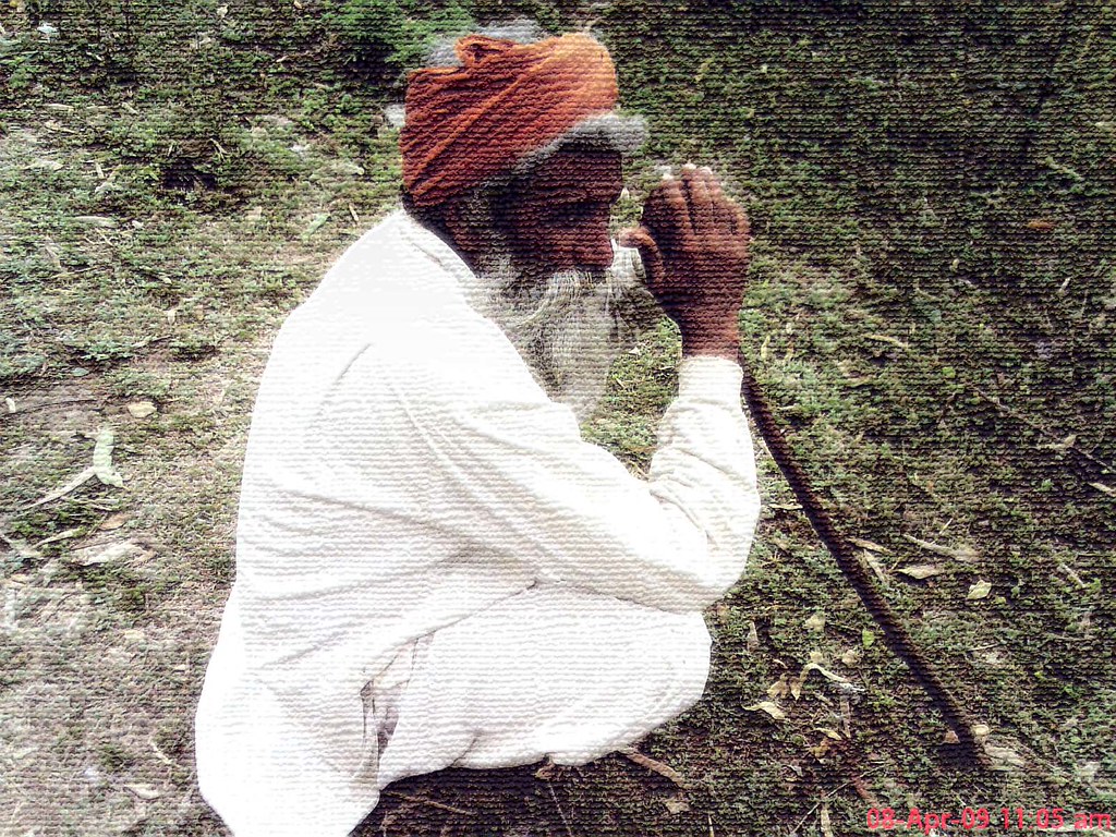
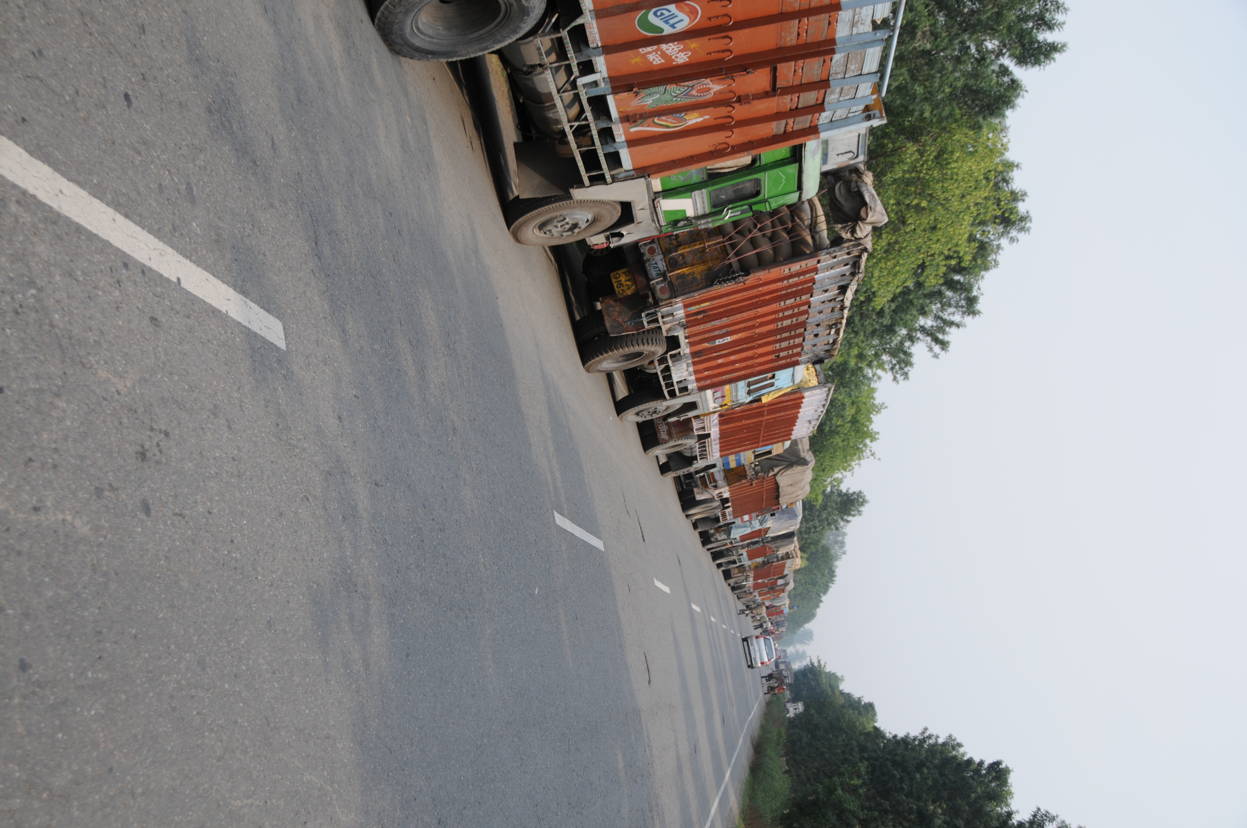
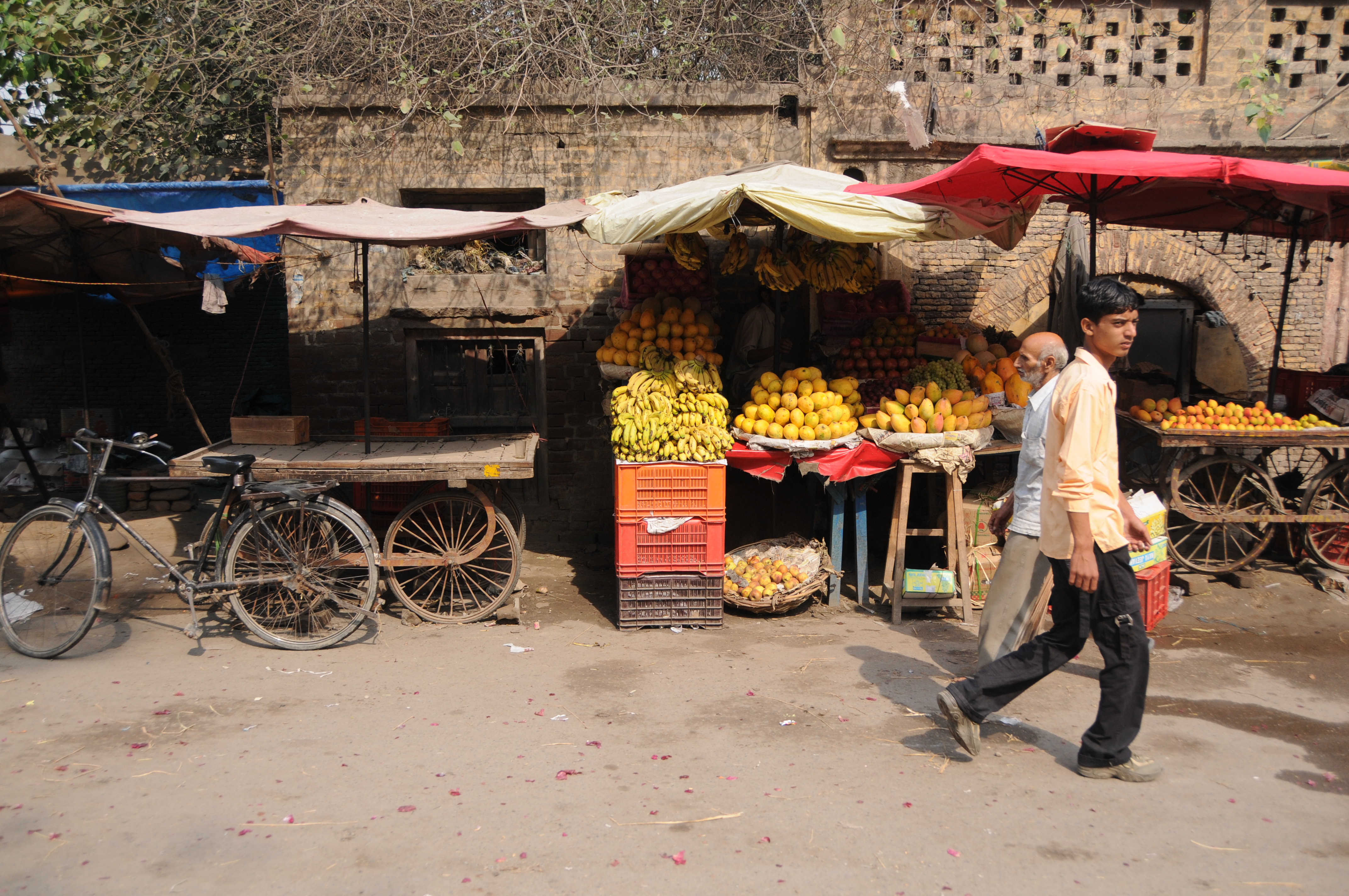
# Punjabis پنجابی, ਪੰਜਾਬੀ #
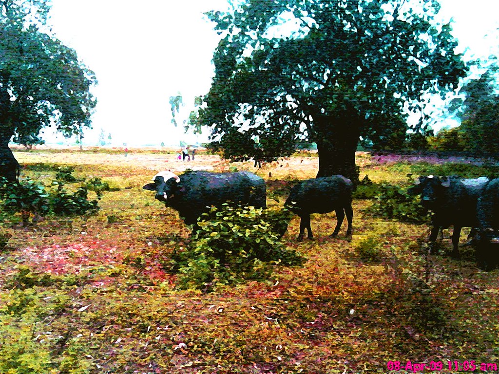
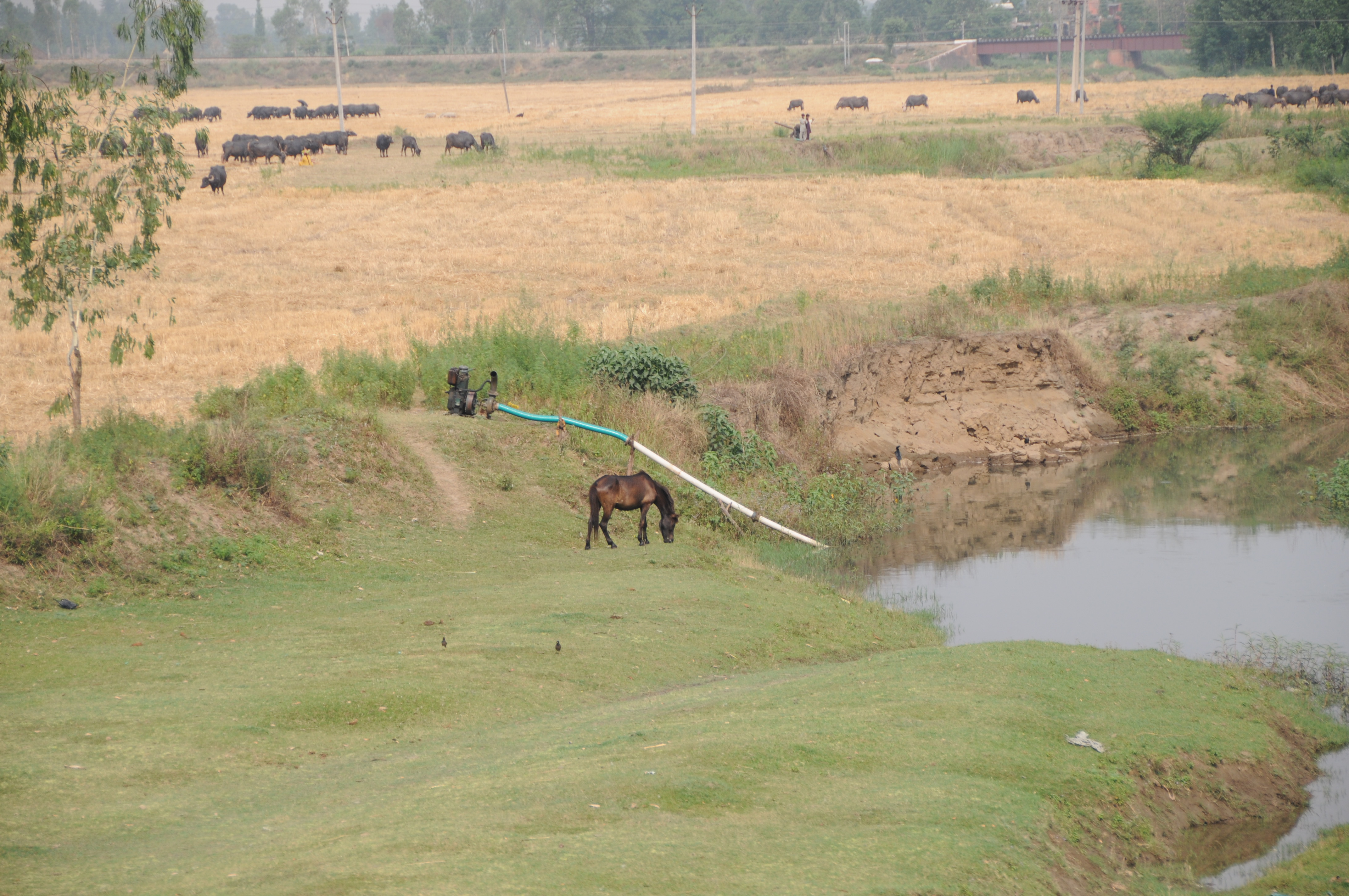
buffalo # भैंस
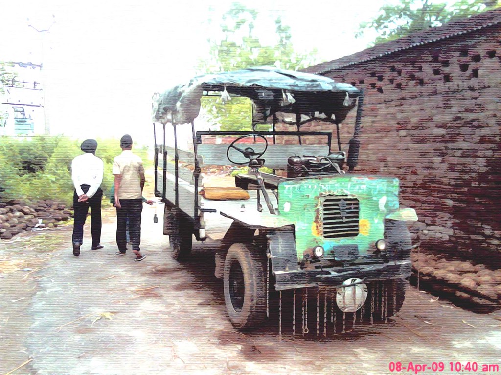
Jugaad # (Hindi: जुगाड़) #
CSP_9246.JPG
CSP_9244.JPG
CSP_9235.JPG
CSP_9242.JPG
CSP_9227.JPG
CSP_9236.JPG
CSP_9224.JPG
CSP_9225.JPG
CSP_9223.JPG
CSP_9245.JPG

CSP_9226.JPG
CSP_9233.JPG
CSP_9241.JPG
CSP_9232.JPG
CSP_9234.JPG
CSP_9243.JPG
CSP_9229.JPG
CSP_9230.JPG
Topographic Map of Gurdaspur, Punjab, India
Find elevation by address:

Places near Gurdaspur, Punjab, India:
Makaura
Gurdaspur
Dalam
Batala
Damtal
Pathankot
Pathankot
Tanda
Nadala
Talwara
Bhogpur
Bhunga
Beas
Hoshiarpur
Hazipur
Amritsar
Spring Dale Senior School
Company Bagh
Ram Bagh
Lohian
Recent Searches:
- Elevation of Corso Fratelli Cairoli, 35, Macerata MC, Italy
- Elevation of Tallevast Rd, Sarasota, FL, USA
- Elevation of 4th St E, Sonoma, CA, USA
- Elevation of Black Hollow Rd, Pennsdale, PA, USA
- Elevation of Oakland Ave, Williamsport, PA, USA
- Elevation of Pedrógão Grande, Portugal
- Elevation of Klee Dr, Martinsburg, WV, USA
- Elevation of Via Roma, Pieranica CR, Italy
- Elevation of Tavkvetili Mountain, Georgia
- Elevation of Hartfords Bluff Cir, Mt Pleasant, SC, USA