Elevation of Dalam, Punjab, India
Location: India > Punjab > Gurdaspur >
Longitude: 75.1501601
Latitude: 31.9103417
Elevation: 248m / 814feet
Barometric Pressure: 98KPa
Elevation Map:
Satellite Map:
Related Photos:
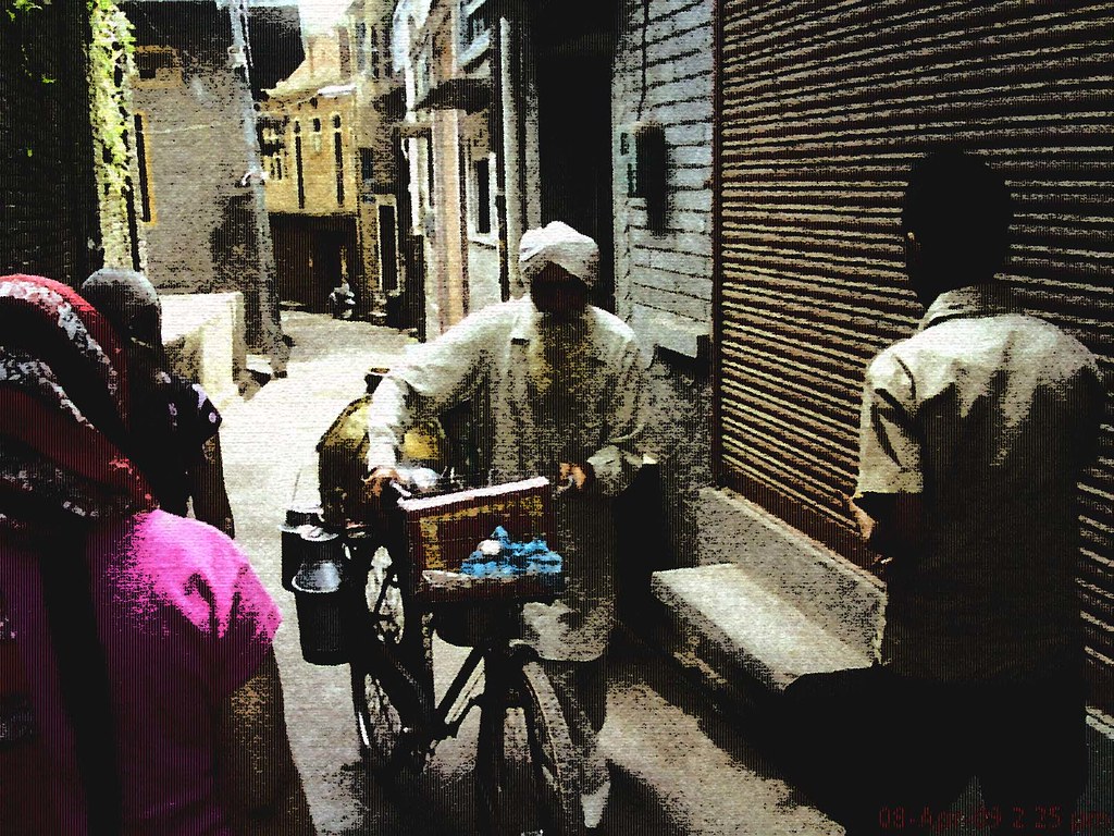
milkman from ## Batala ##

level crossing 09823

Ancient well 09845

CSP_9218.JPG
CSP_9217.JPG

CSP_9211.JPG

CSP_9215.JPG

CSP_9213.JPG

CSP_9219.JPG

2015-11-29_08-14-28

IMG_20150118_154406~2

IMG_20150116_162938~2
Topographic Map of Dalam, Punjab, India
Find elevation by address:

Places near Dalam, Punjab, India:
Gurdaspur
Batala
Gurdaspur
Amritsar
Makaura
Spring Dale Senior School
Company Bagh
Ram Bagh
Amritsar
Harmandir Sahib
Atta Mandi
Shakti Nagar
Nimak Mandi, Qilla Bhagian
00000000000000.000
Beas
Nadala
Bariyar
Tanda
Kapurthala
Kapurthala
Recent Searches:
- Elevation of Corso Fratelli Cairoli, 35, Macerata MC, Italy
- Elevation of Tallevast Rd, Sarasota, FL, USA
- Elevation of 4th St E, Sonoma, CA, USA
- Elevation of Black Hollow Rd, Pennsdale, PA, USA
- Elevation of Oakland Ave, Williamsport, PA, USA
- Elevation of Pedrógão Grande, Portugal
- Elevation of Klee Dr, Martinsburg, WV, USA
- Elevation of Via Roma, Pieranica CR, Italy
- Elevation of Tavkvetili Mountain, Georgia
- Elevation of Hartfords Bluff Cir, Mt Pleasant, SC, USA