Elevation of Bhunga, Punjab, India
Location: India > Punjab > Hoshiarpur >
Longitude: 75.8083612
Latitude: 31.680175
Elevation: 301m / 988feet
Barometric Pressure: 0KPa
Related Photos:
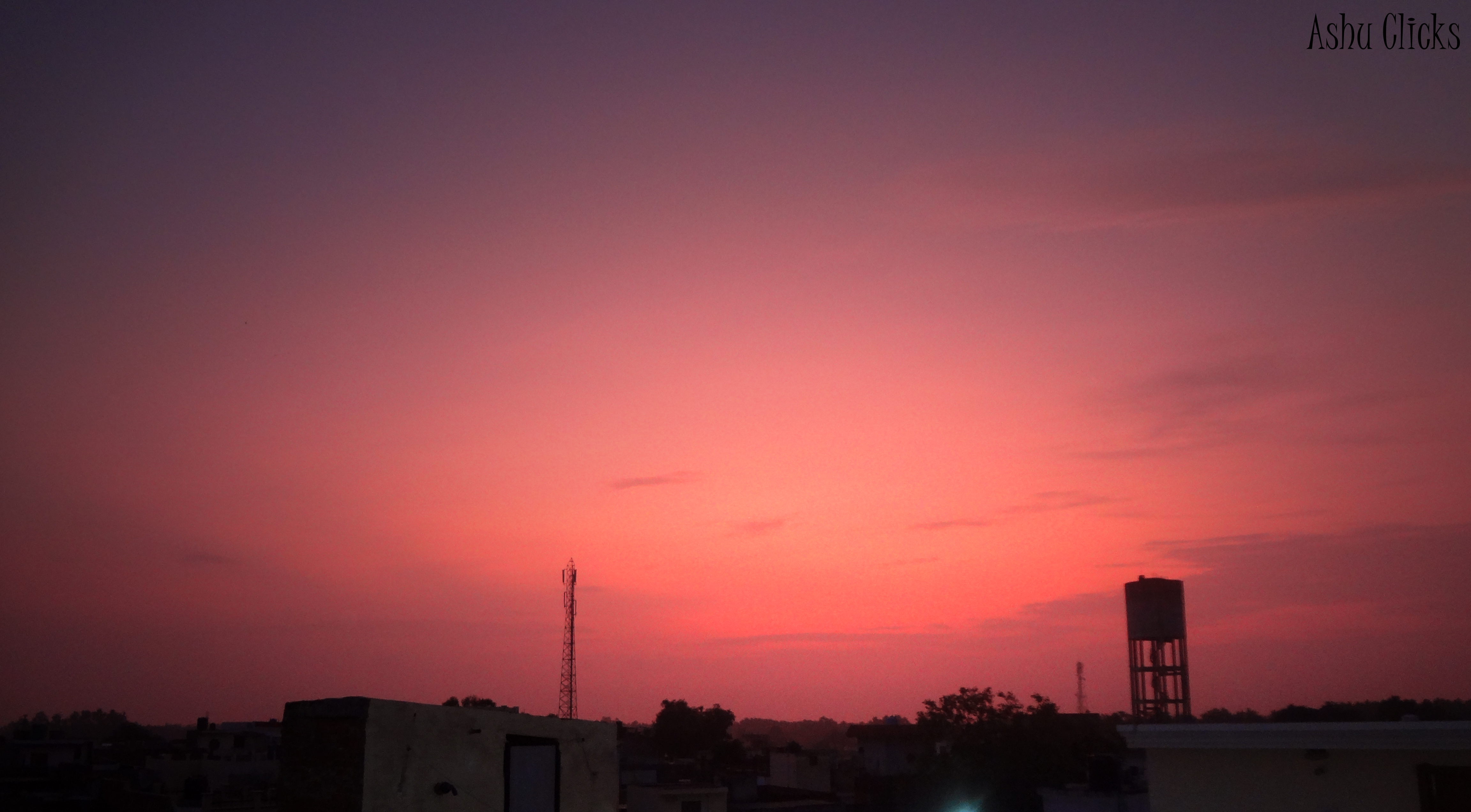
evening

Papilio demoleus

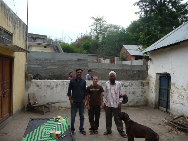
photo-23
P1010448 (Small)
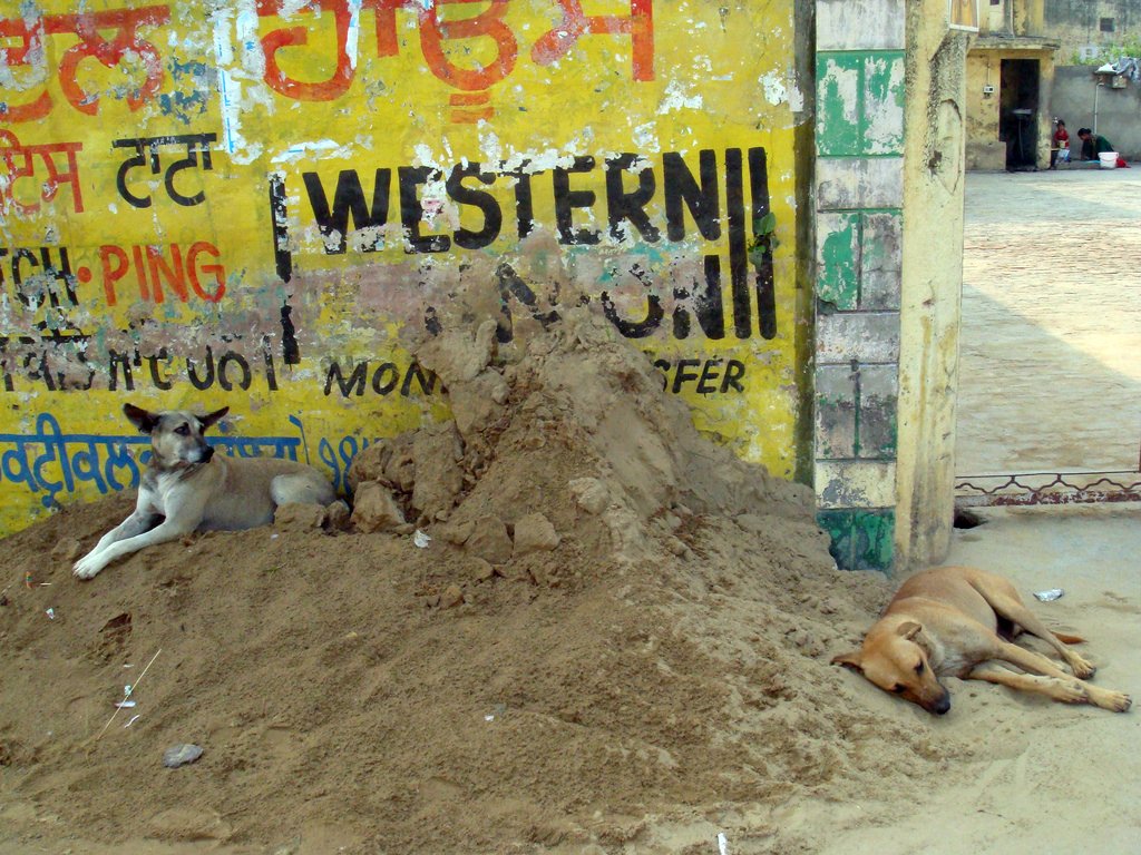
Dog Nap
Topographic Map of Bhunga, Punjab, India
Find elevation by address:

Places near Bhunga, Punjab, India:
Hoshiarpur
Hazipur
Kamalpur
15, NH 70, Kamalpur, Hoshiarpur, Punjab, India
Tanda
Hoshiarpur
Bhogpur
Mehmowal
Punjab, India
Adampur
Talwara
Lohian
Nadala
Jalandhar
New Jawahar Nagar
Kot Kalan
New Jawahar Nagar Market
Phagwara
Kapurthala
Jalandhar
Recent Searches:
- Elevation of 2881, Chabot Drive, San Bruno, San Mateo County, California, 94066, USA
- Elevation of 10370, West 107th Circle, Westminster, Jefferson County, Colorado, 80021, USA
- Elevation of 611, Roman Road, Old Ford, Bow, London, England, E3 2RW, United Kingdom
- Elevation of 116, Beartown Road, Underhill, Chittenden County, Vermont, 05489, USA
- Elevation of Window Rock, Colfax County, New Mexico, 87714, USA
- Elevation of 4807, Rosecroft Street, Kempsville Gardens, Virginia Beach, Virginia, 23464, USA
- Elevation map of Matawinie, Quebec, Canada
- Elevation of Sainte-Émélie-de-l'Énergie, Matawinie, Quebec, Canada
- Elevation of Rue du Pont, Sainte-Émélie-de-l'Énergie, Matawinie, Quebec, J0K2K0, Canada
- Elevation of 8, Rue de Bécancour, Blainville, Thérèse-De Blainville, Quebec, J7B1N2, Canada
- Elevation of Wilmot Court North, 163, University Avenue West, Northdale, Waterloo, Region of Waterloo, Ontario, N2L6B6, Canada
- Elevation map of Panamá Province, Panama
- Elevation of Balboa, Panamá Province, Panama
- Elevation of San Miguel, Balboa, Panamá Province, Panama
- Elevation of Isla Gibraleón, San Miguel, Balboa, Panamá Province, Panama
- Elevation of 4655, Krischke Road, Schulenburg, Fayette County, Texas, 78956, USA
- Elevation of Carnegie Avenue, Downtown Cleveland, Cleveland, Cuyahoga County, Ohio, 44115, USA
- Elevation of Walhonding, Coshocton County, Ohio, USA
- Elevation of Clifton Down, Clifton, Bristol, City of Bristol, England, BS8 3HU, United Kingdom
- Elevation map of Auvergne-Rhône-Alpes, France