Elevation of Damtal, Himachal Pradesh, India
Location: India > Himachal Pradesh > Kangra >
Longitude: 75.660084
Latitude: 32.2257526
Elevation: 312m / 1024feet
Barometric Pressure: 98KPa
Elevation Map:
Satellite Map:
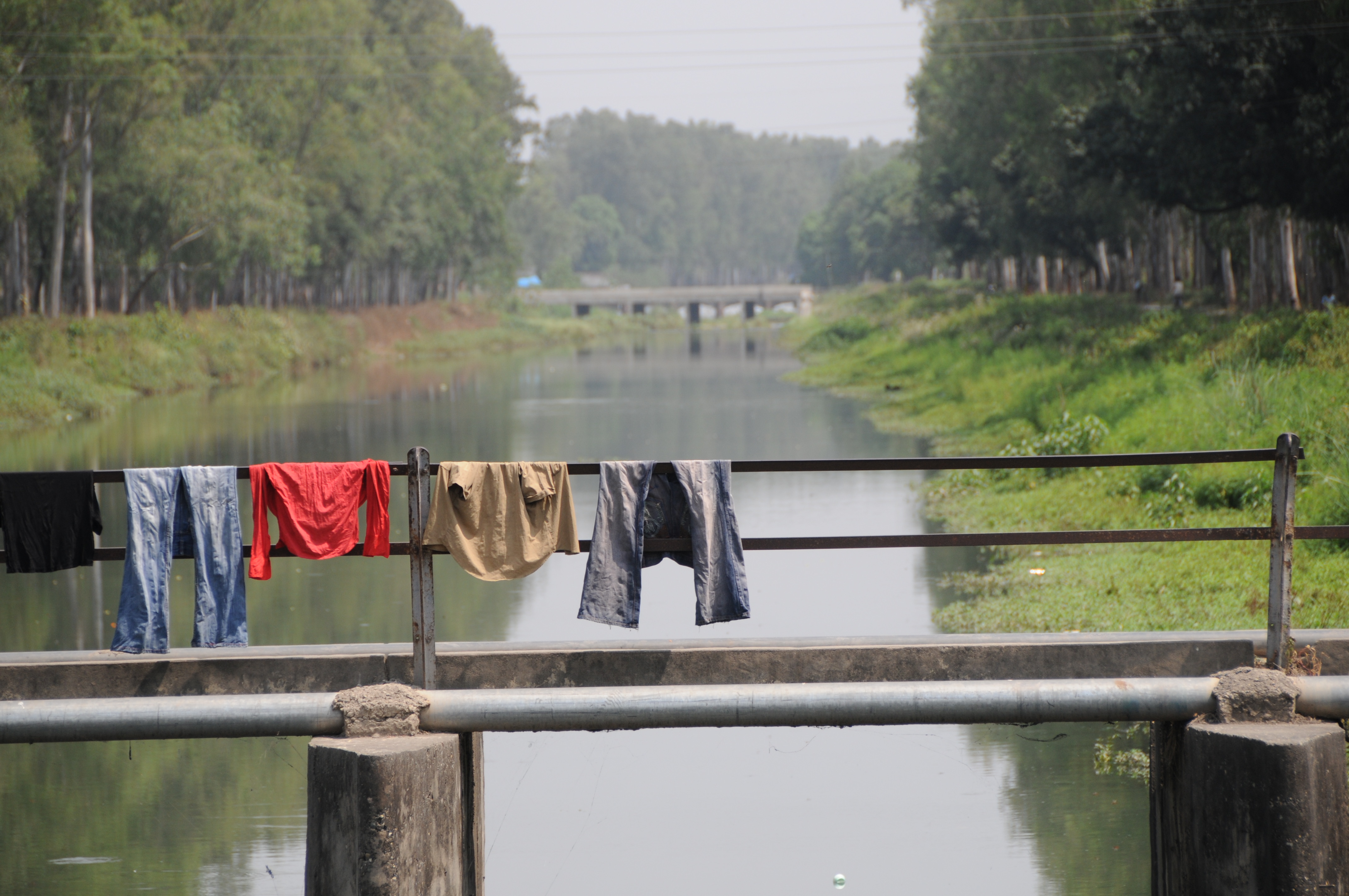
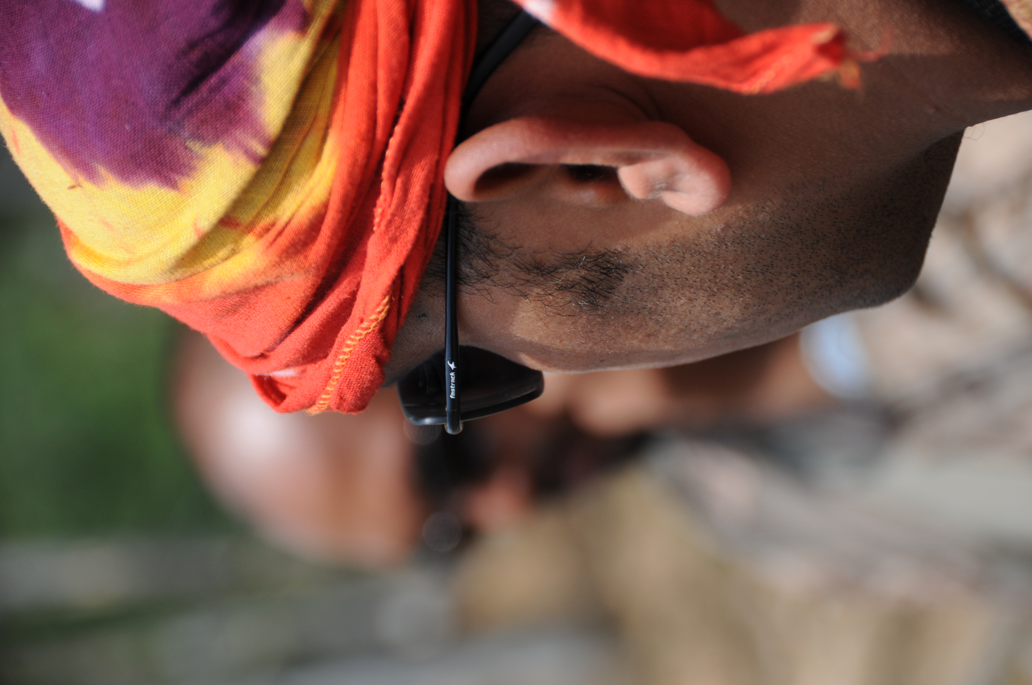
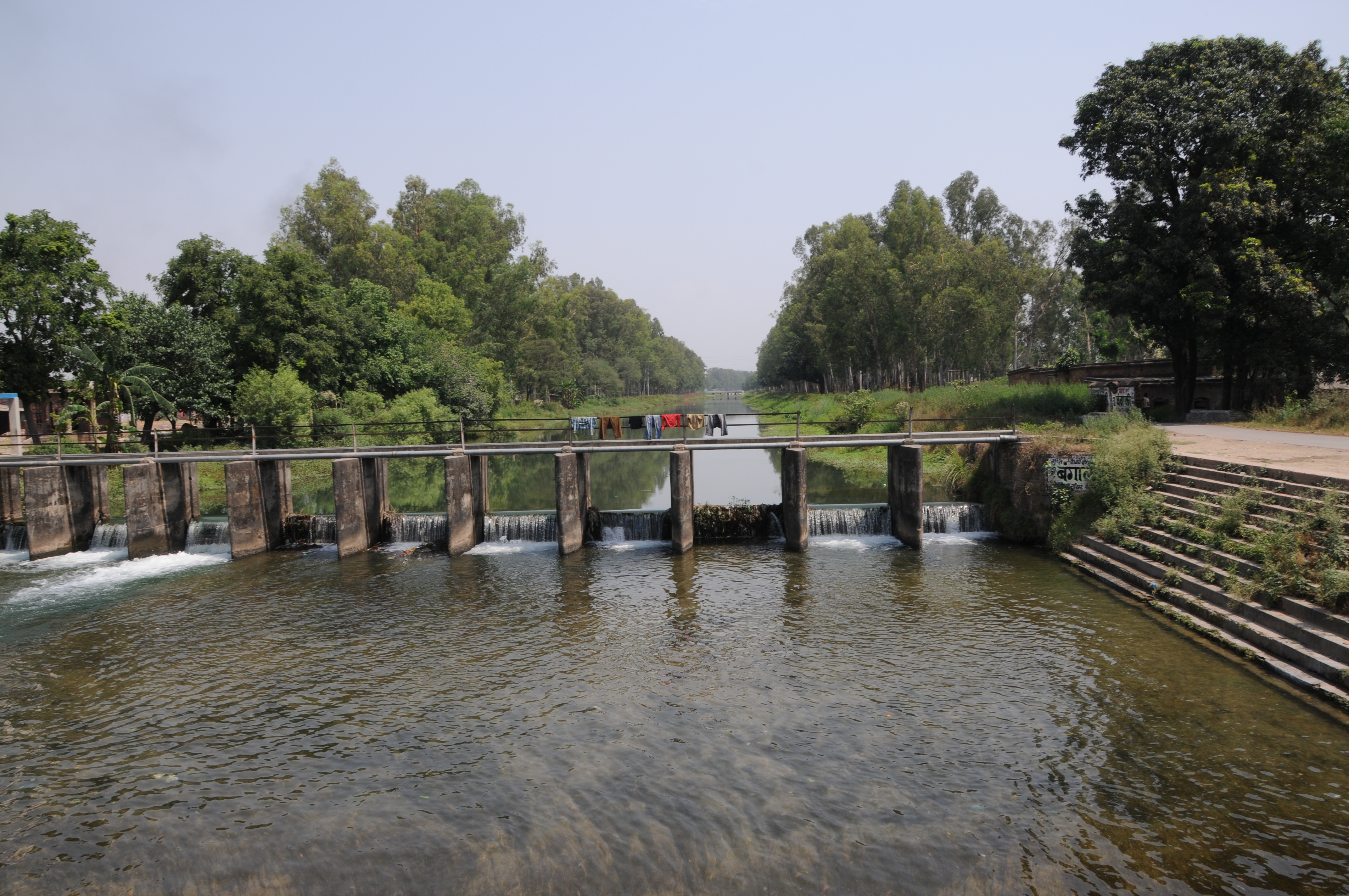
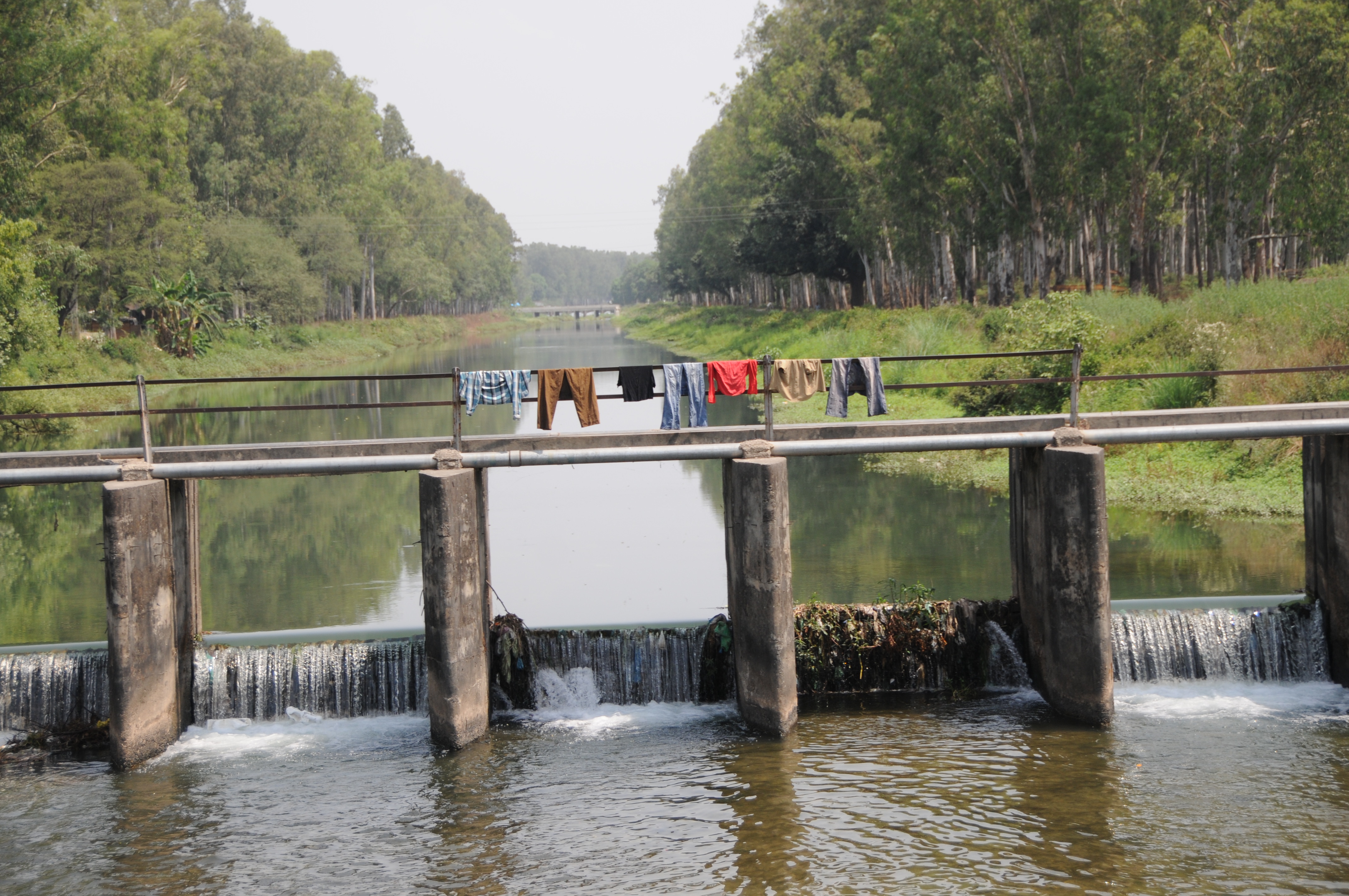
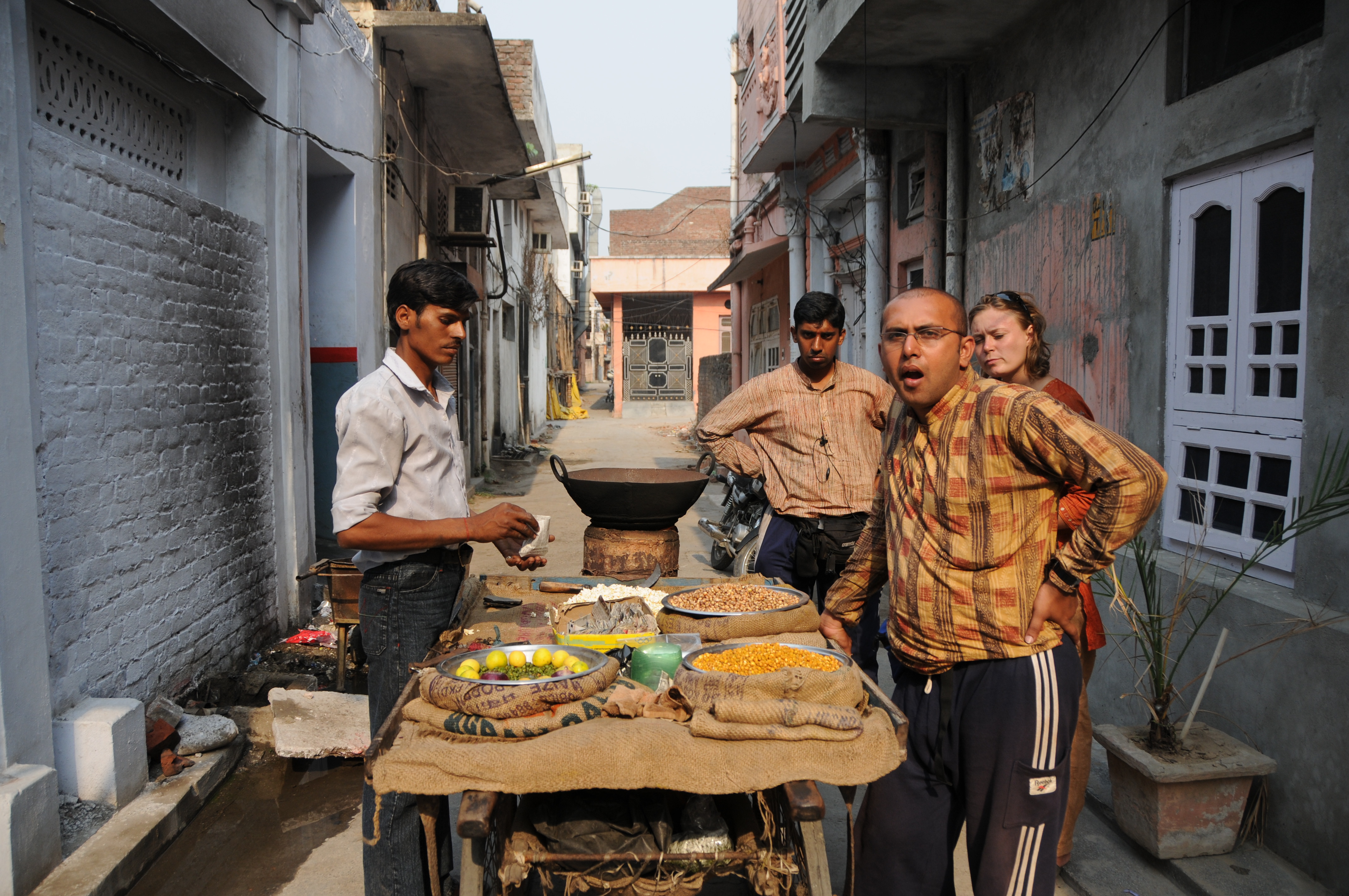
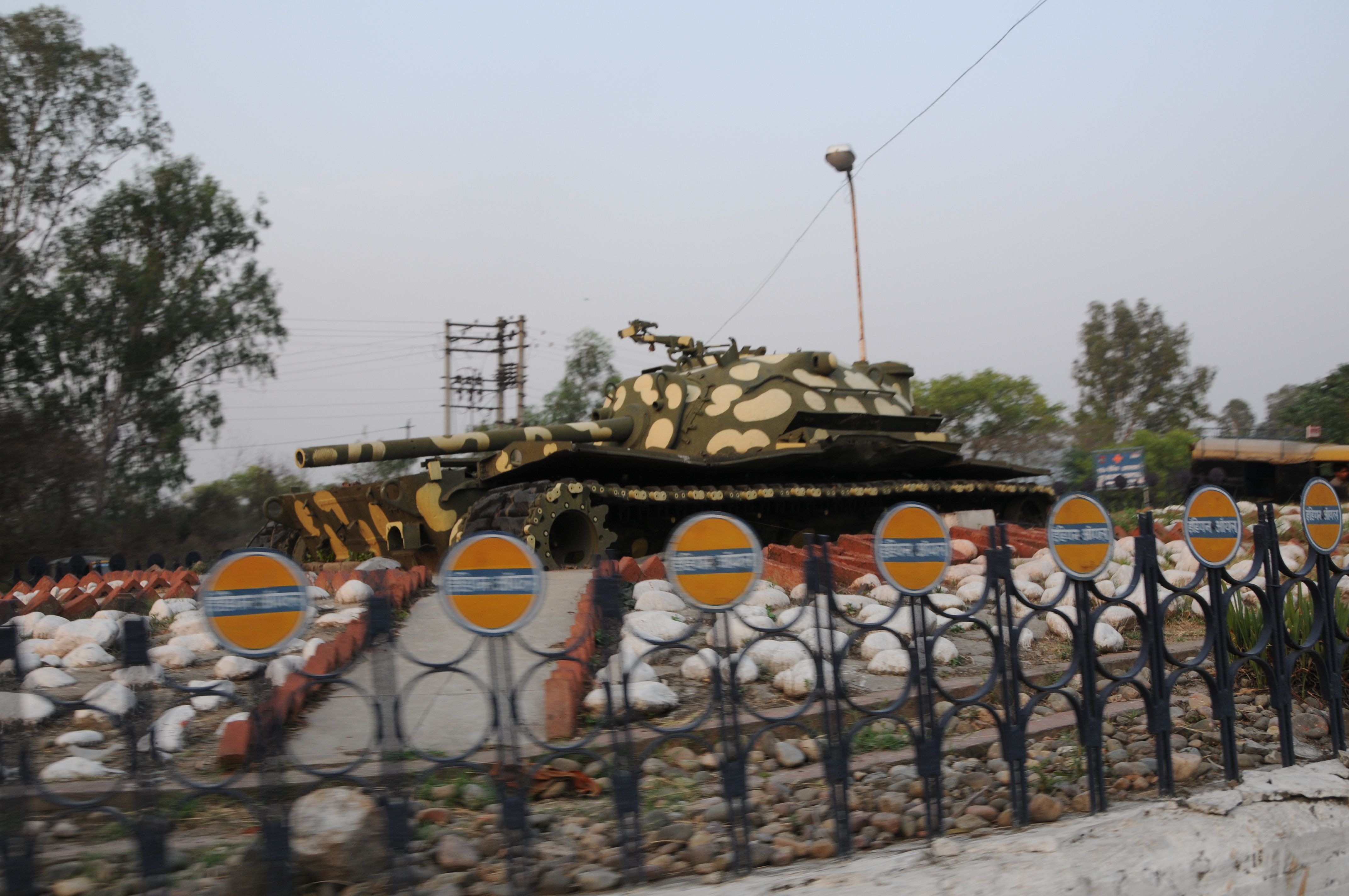
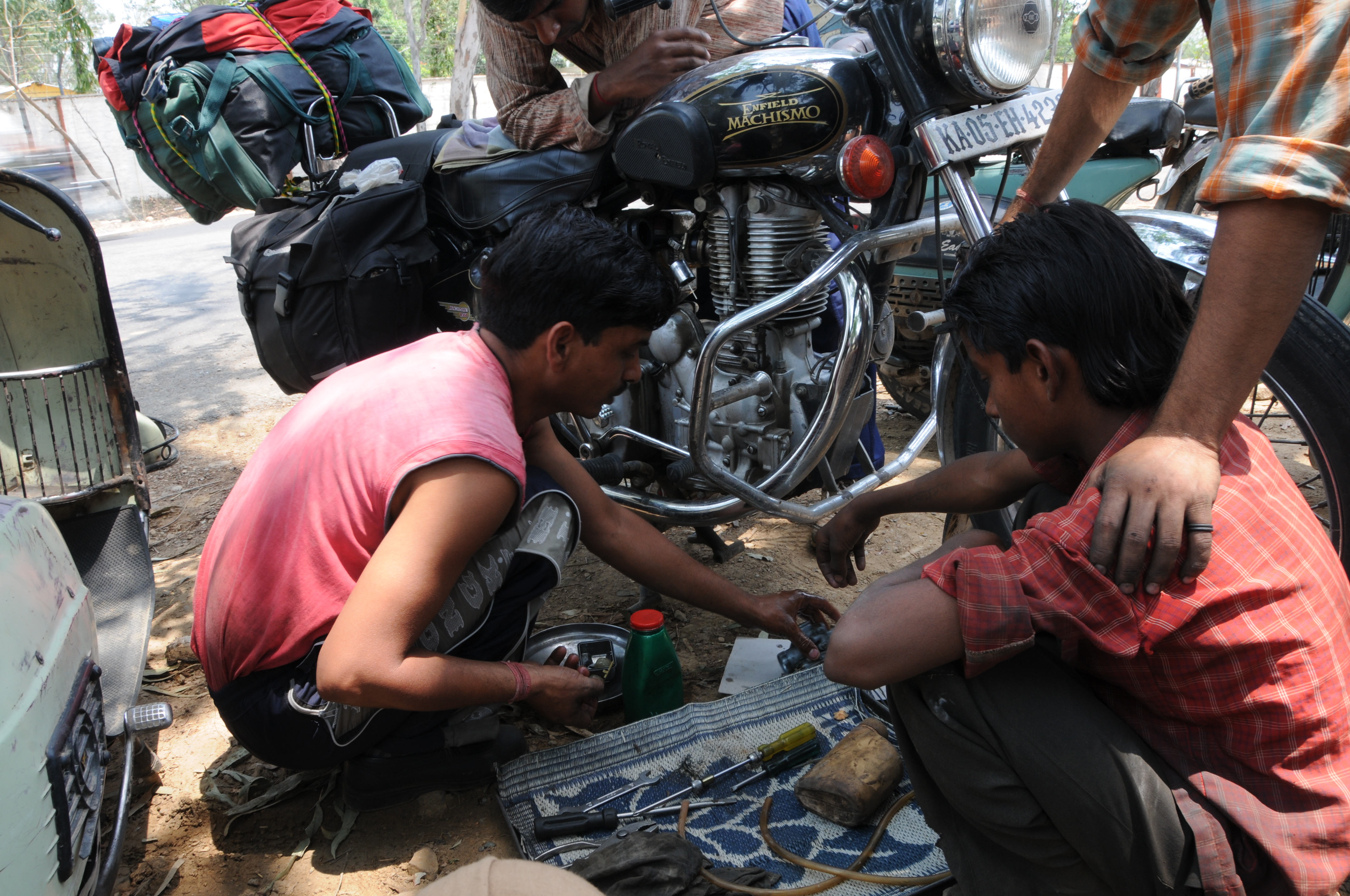
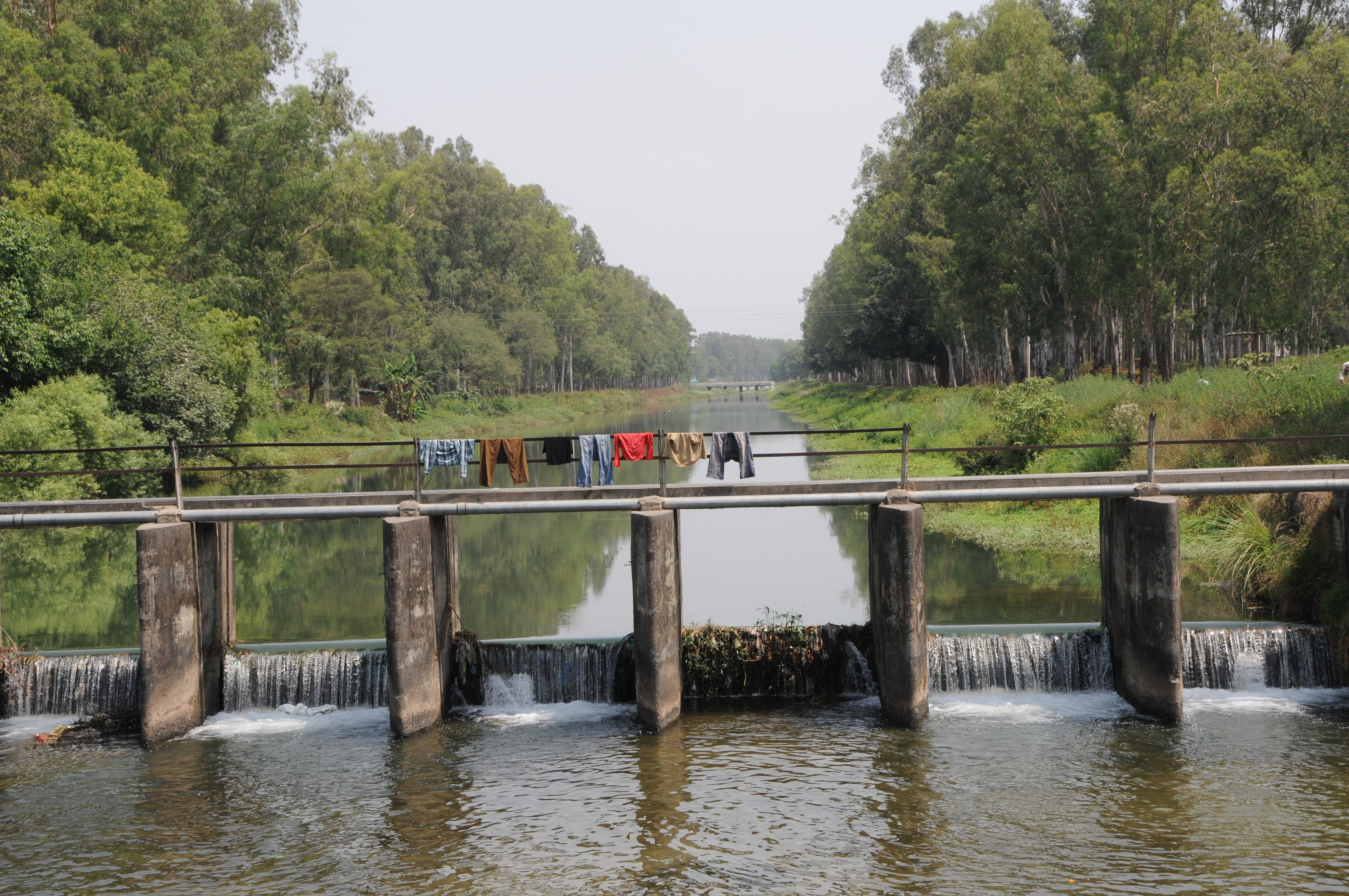
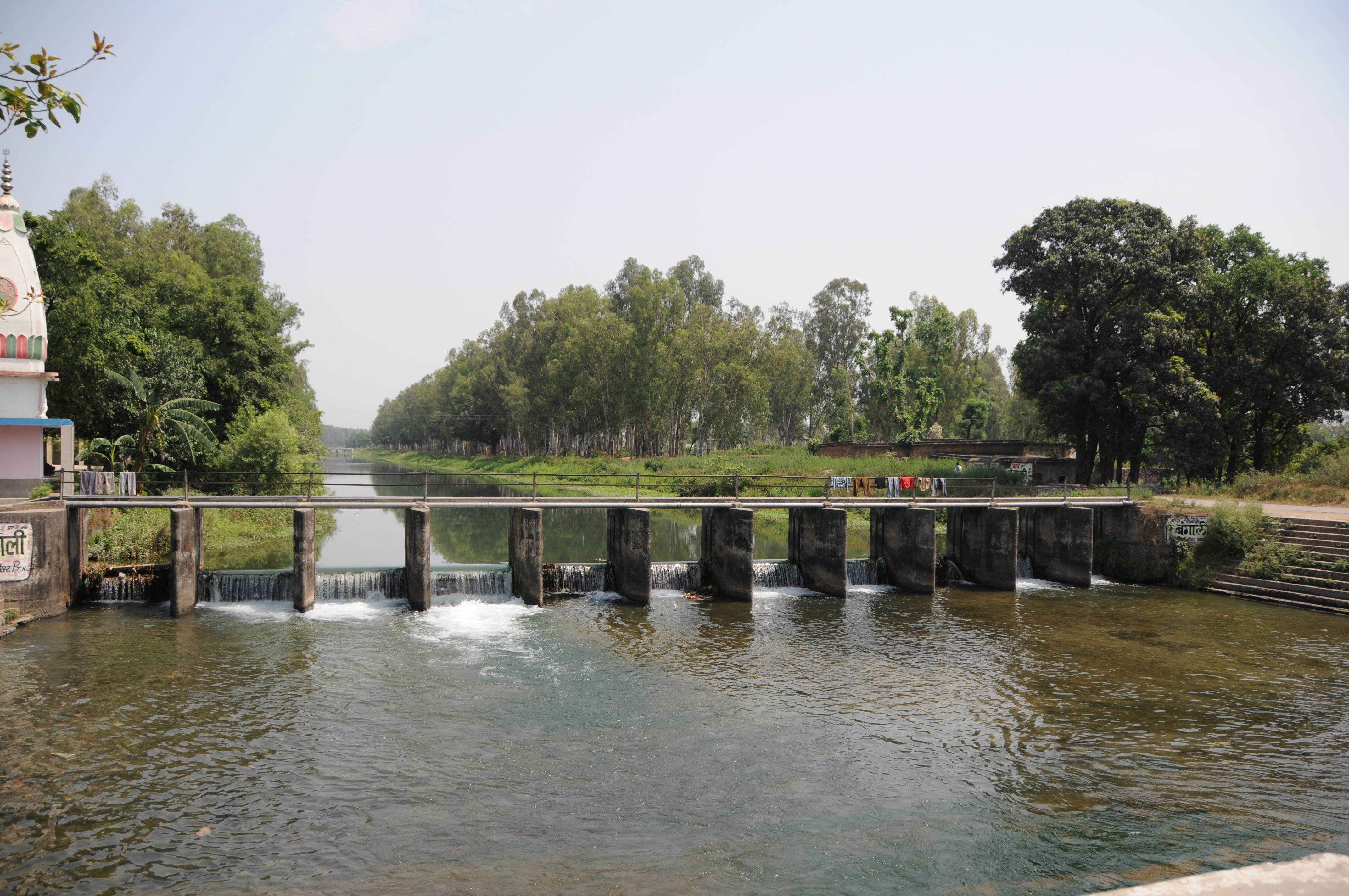
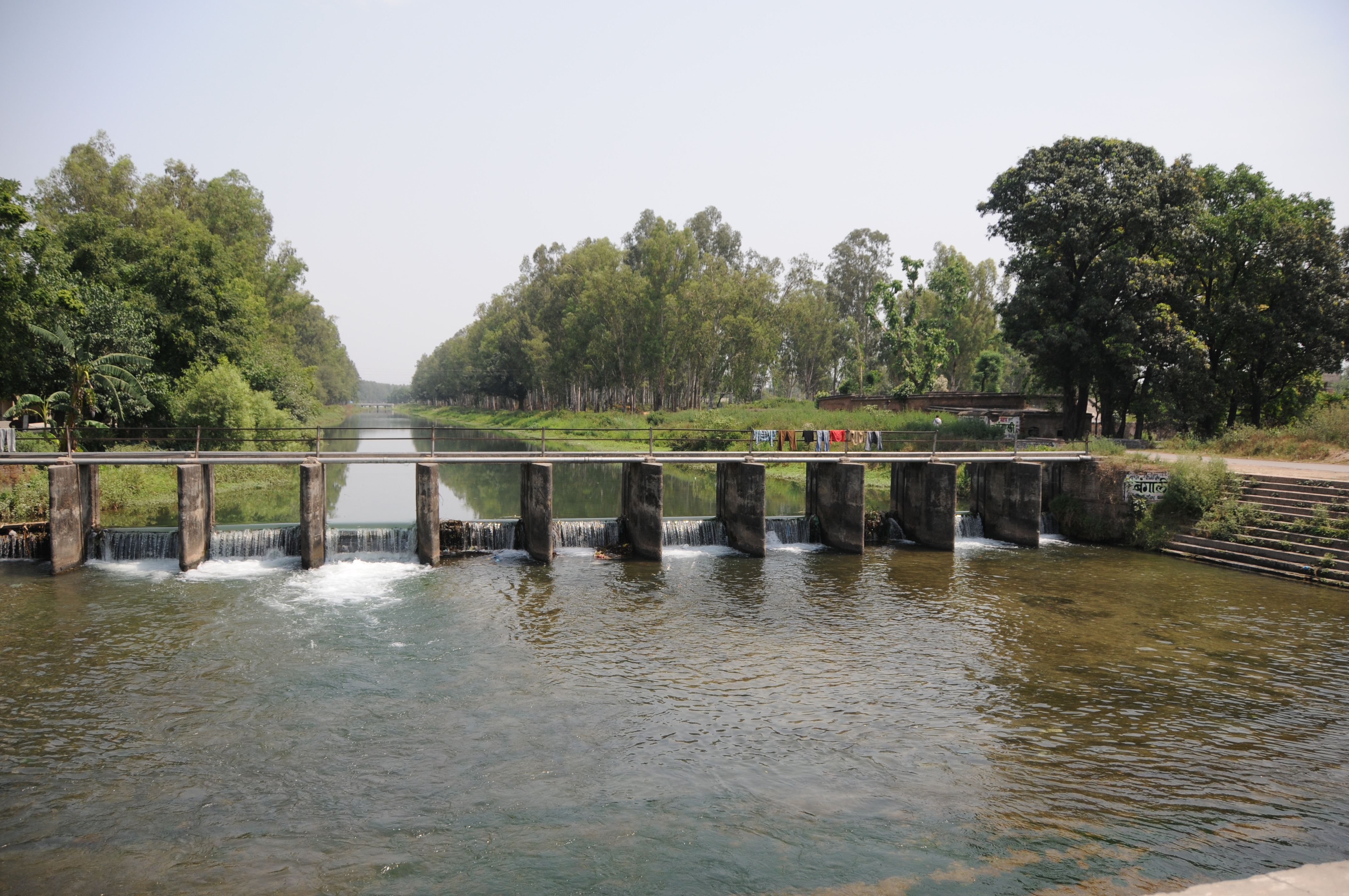
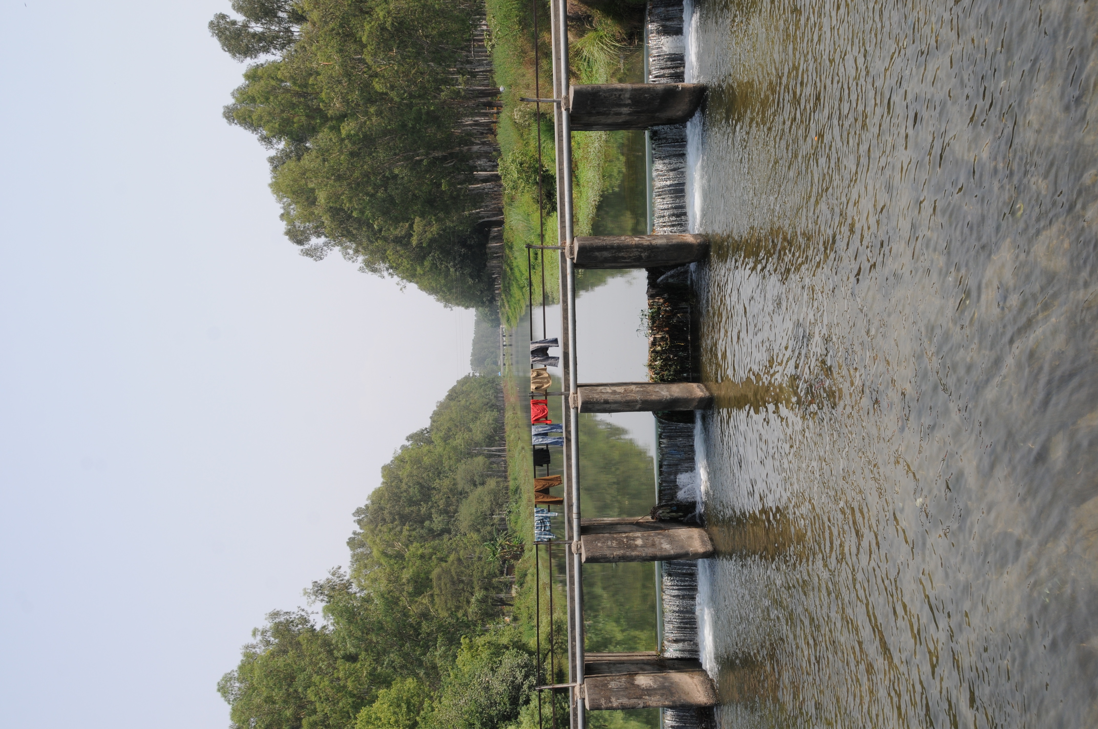
Related Photos:

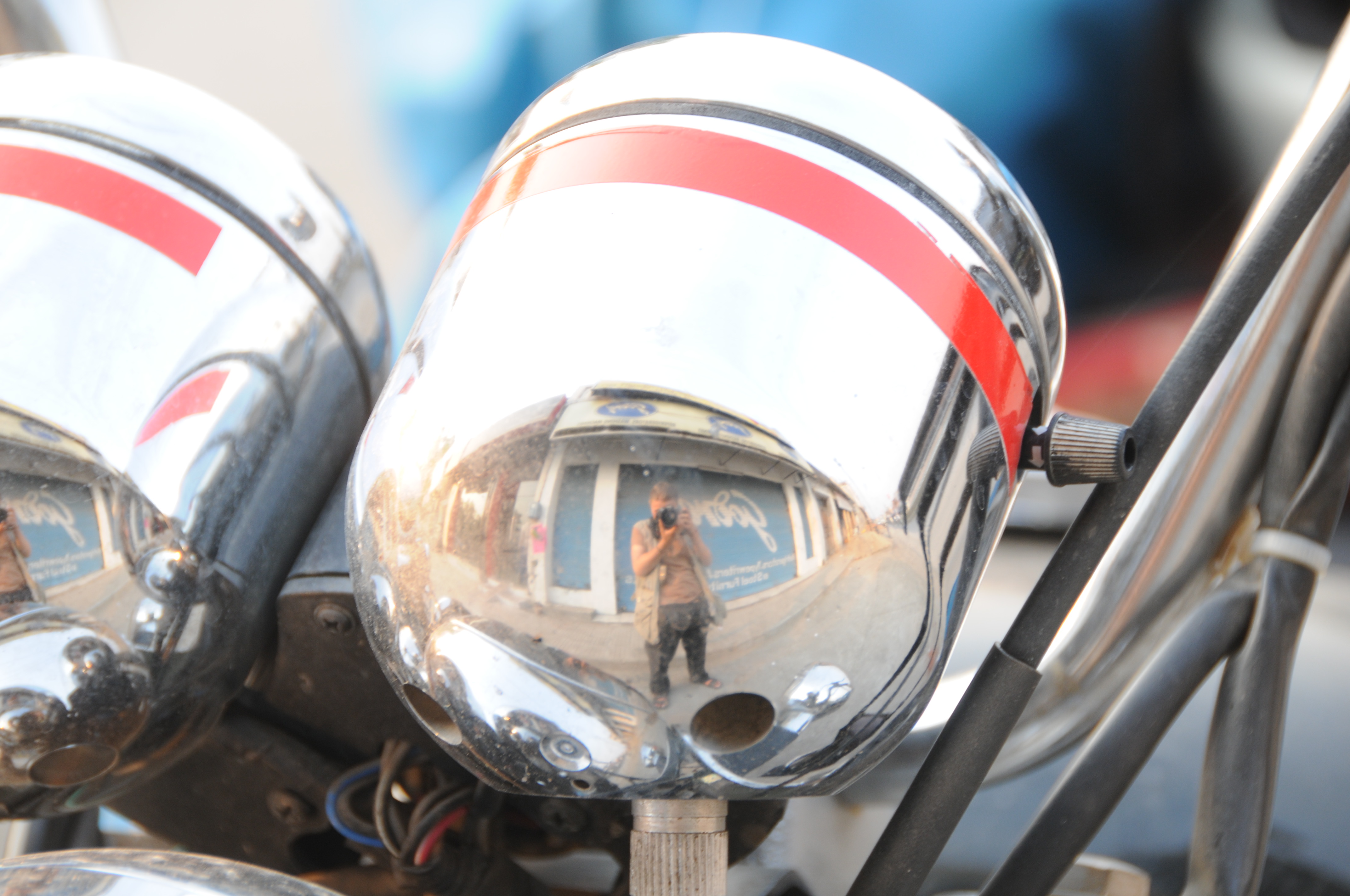
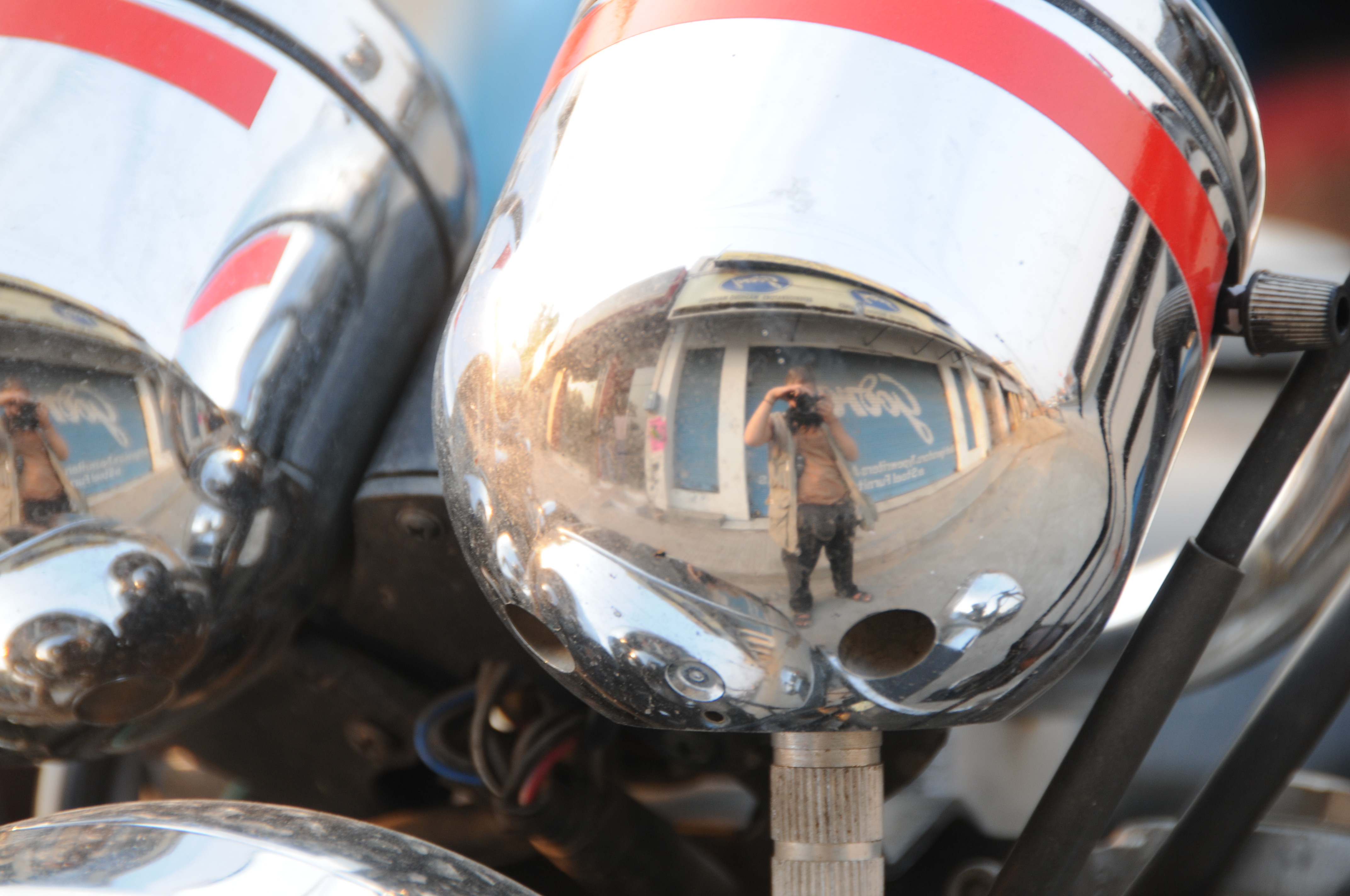
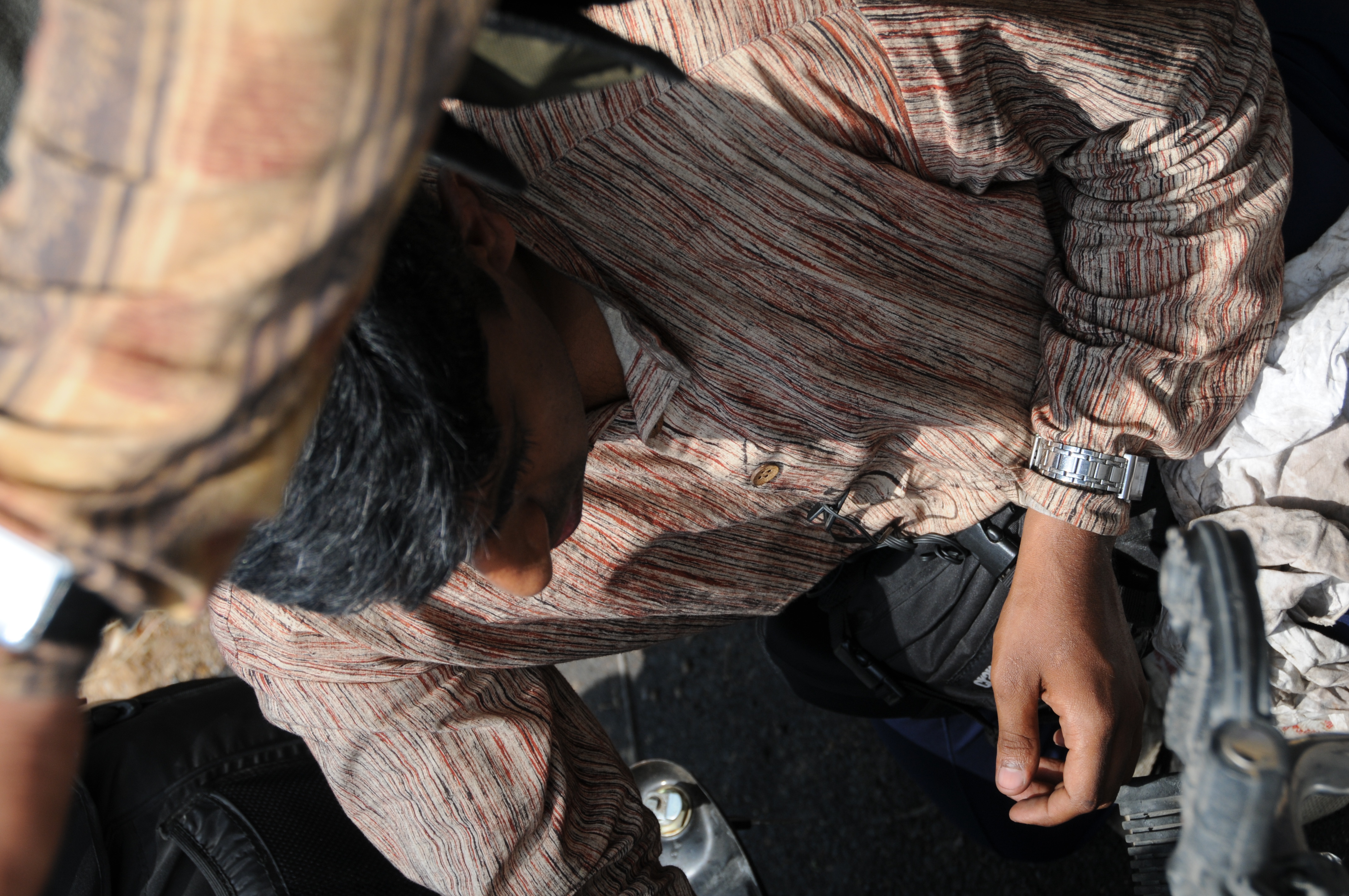
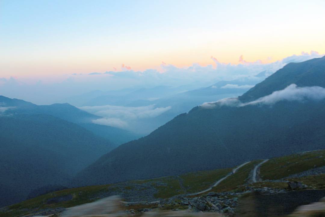
Turban Guy
CSP_9600.JPG
CSP_9276.JPG

CSP_9262.JPG

CSP_9366.JPG
CSP_9258.JPG
CSP_9599.JPG
CSP_9328.JPG
CSP_9606.JPG
CSP_9362.JPG

CSP_9260.JPG
CSP_9269.JPG
CSP_9271.JPG
CSP_9307.JPG
CSP_9278.JPG
CSP_9270.JPG
CSP_9305.JPG
CSP_9355.JPG
CSP_9604.JPG

CSP_9308.JPG
CSP_9312.JPG
CSP_9273.JPG
CSP_9267.JPG
CSP_9268.JPG
CSP_9274.JPG
#himalayan #himachal #mountains #nature #naturephotography #photography #canon
Topographic Map of Damtal, Himachal Pradesh, India
Find elevation by address:

Places near Damtal, Himachal Pradesh, India:
Pathankot
Pathankot
Makaura
Gurdaspur
Talwara
Gurdaspur
Tanda
Bhunga
Hoshiarpur
Dalam
Hazipur
Batala
Bhogpur
Nadala
Kamalpur
15, NH 70, Kamalpur, Hoshiarpur, Punjab, India
Hoshiarpur
Adampur
Mehmowal
Punjab, India
Recent Searches:
- Elevation of Corso Fratelli Cairoli, 35, Macerata MC, Italy
- Elevation of Tallevast Rd, Sarasota, FL, USA
- Elevation of 4th St E, Sonoma, CA, USA
- Elevation of Black Hollow Rd, Pennsdale, PA, USA
- Elevation of Oakland Ave, Williamsport, PA, USA
- Elevation of Pedrógão Grande, Portugal
- Elevation of Klee Dr, Martinsburg, WV, USA
- Elevation of Via Roma, Pieranica CR, Italy
- Elevation of Tavkvetili Mountain, Georgia
- Elevation of Hartfords Bluff Cir, Mt Pleasant, SC, USA