Elevation of Grindlow, Buxton SK17, UK
Location: United Kingdom > Derbyshire >
Longitude: -1.731617
Latitude: 53.291792
Elevation: 294m / 965feet
Barometric Pressure: 98KPa
Elevation Map:
Satellite Map:
Related Photos:
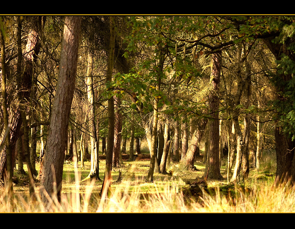
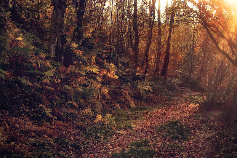
Into the woods!
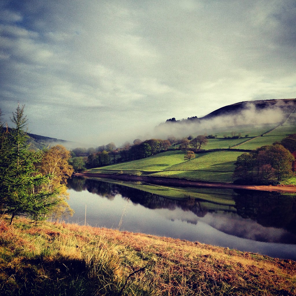
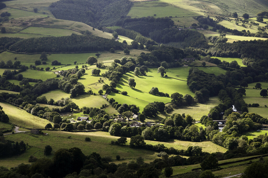
Derwent Valley 1
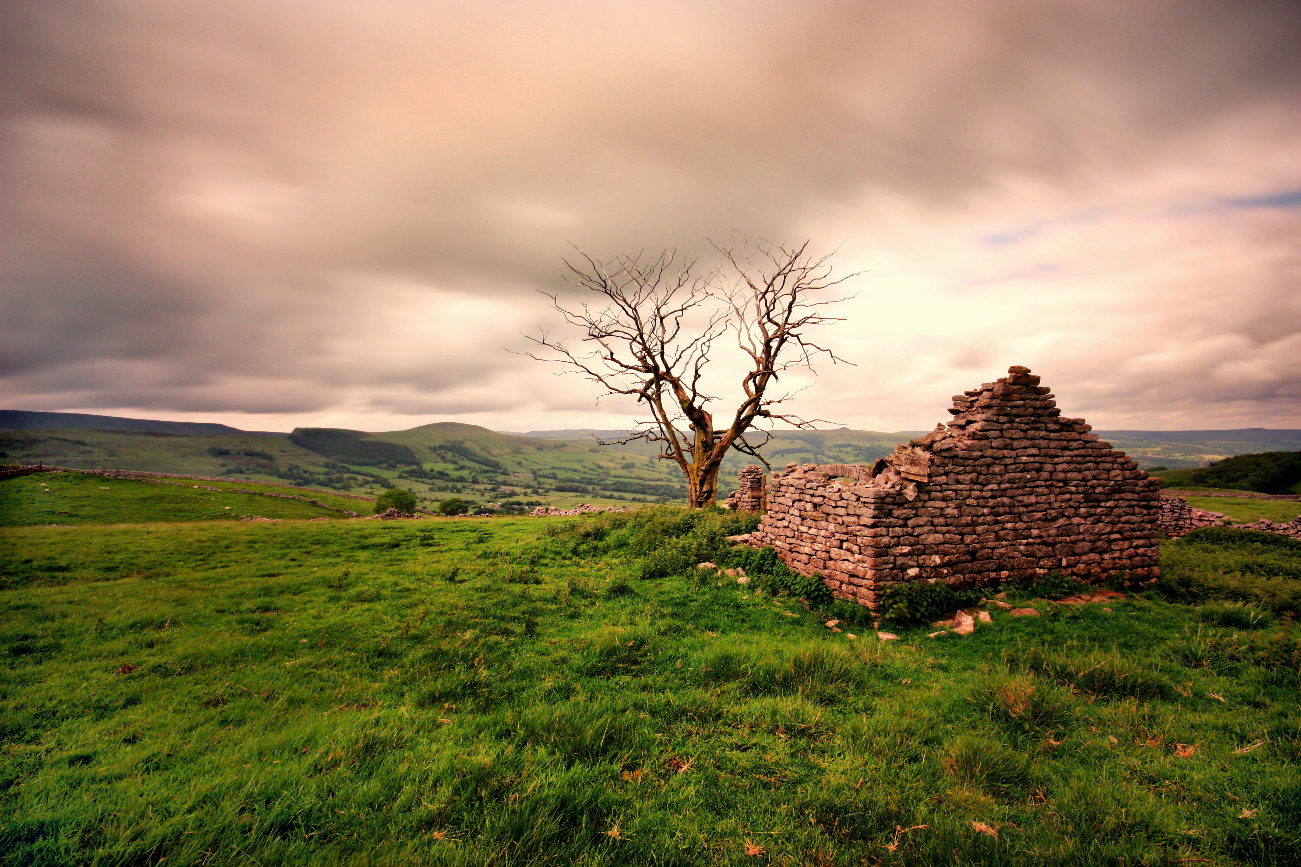
Ruined Barn near Castleton
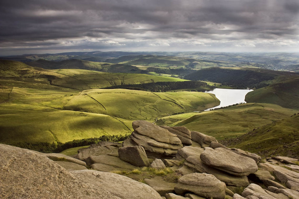
From Kinder.
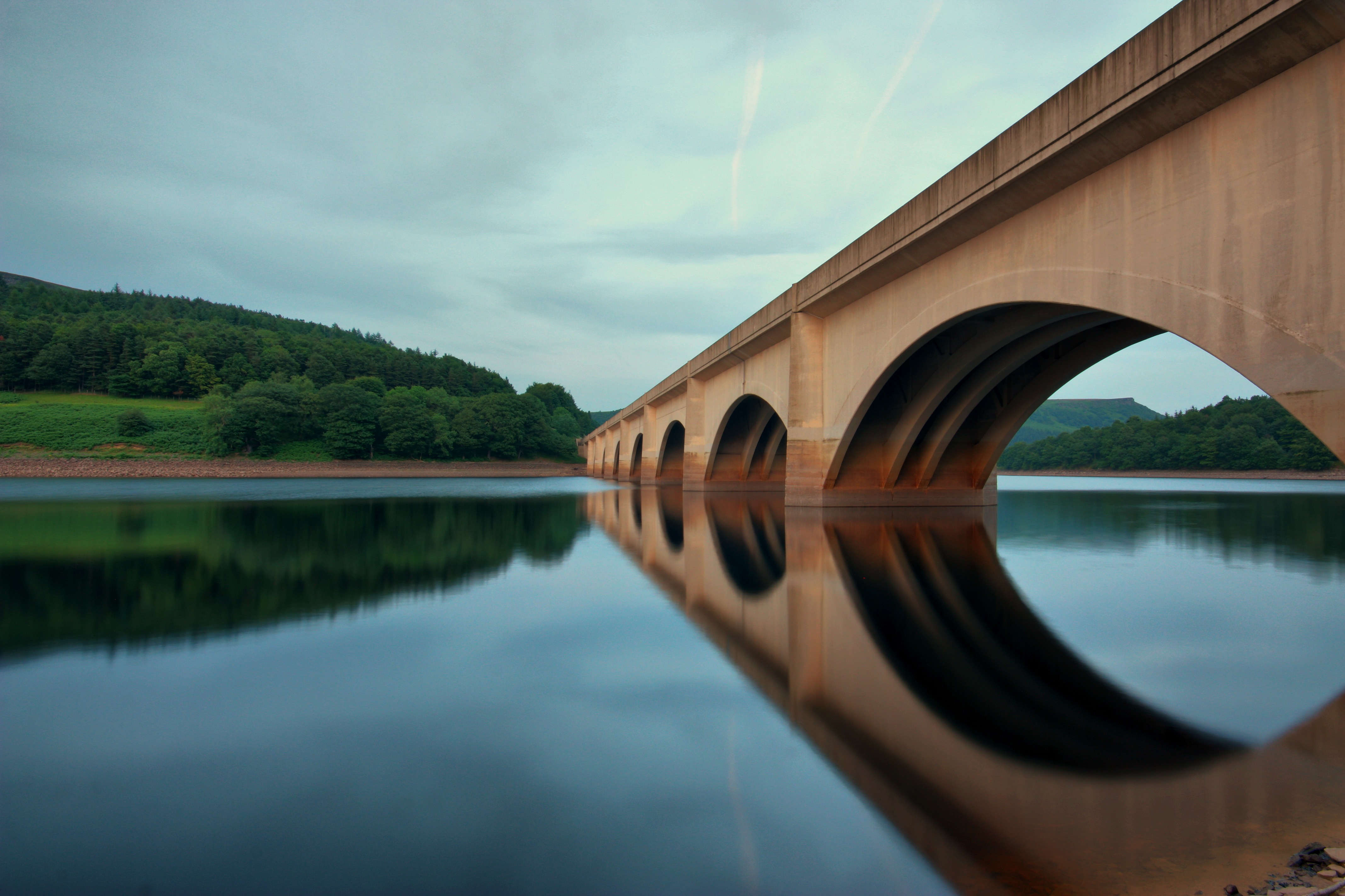
Ladybower Bridge
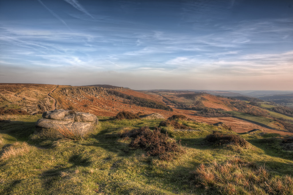
Stanage edge
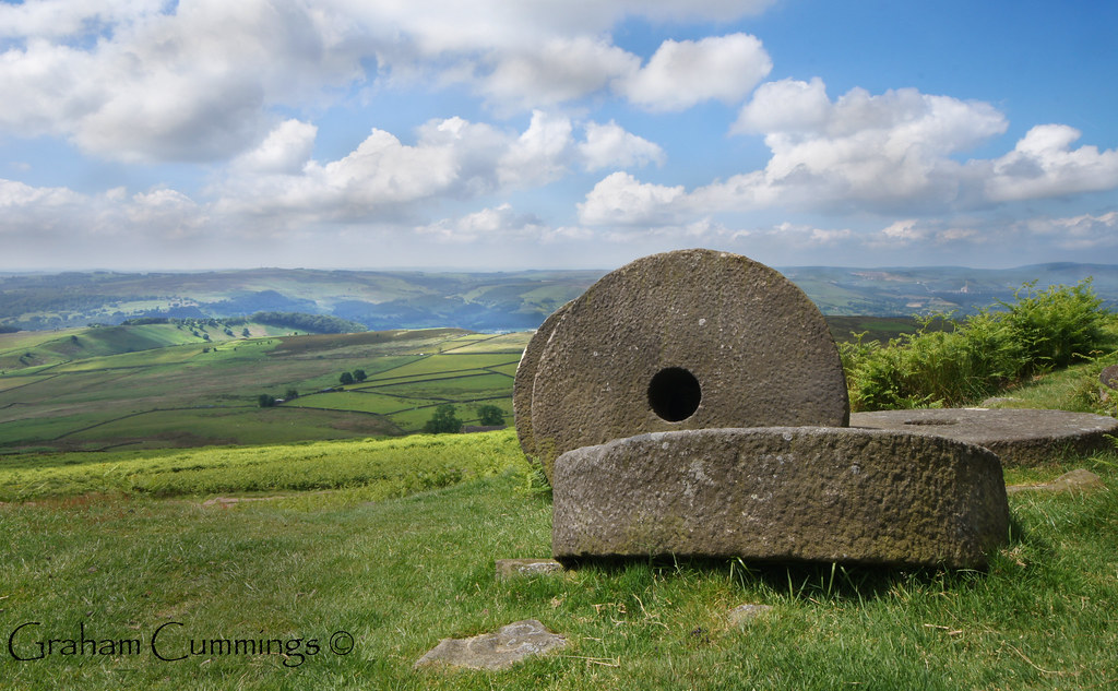
Millstones on the Peak
Grindleford in sunlight

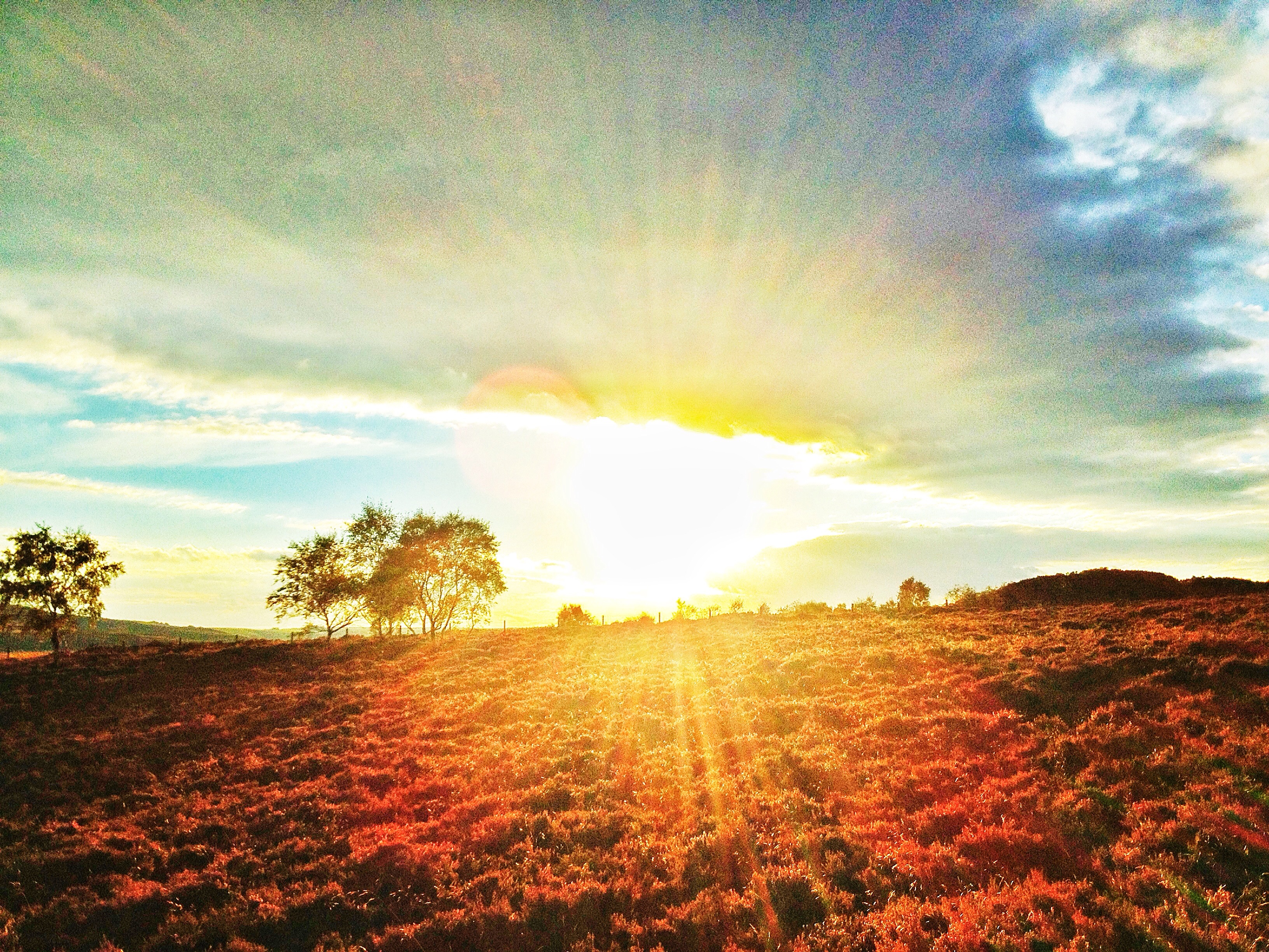
Rushup Edge Sunset.

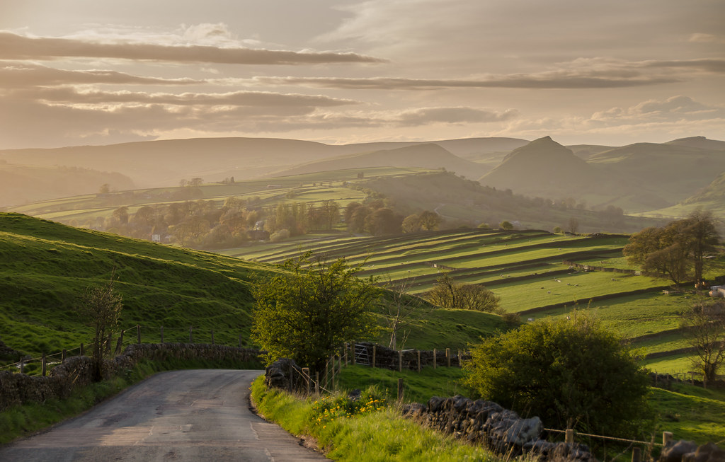
Edale view

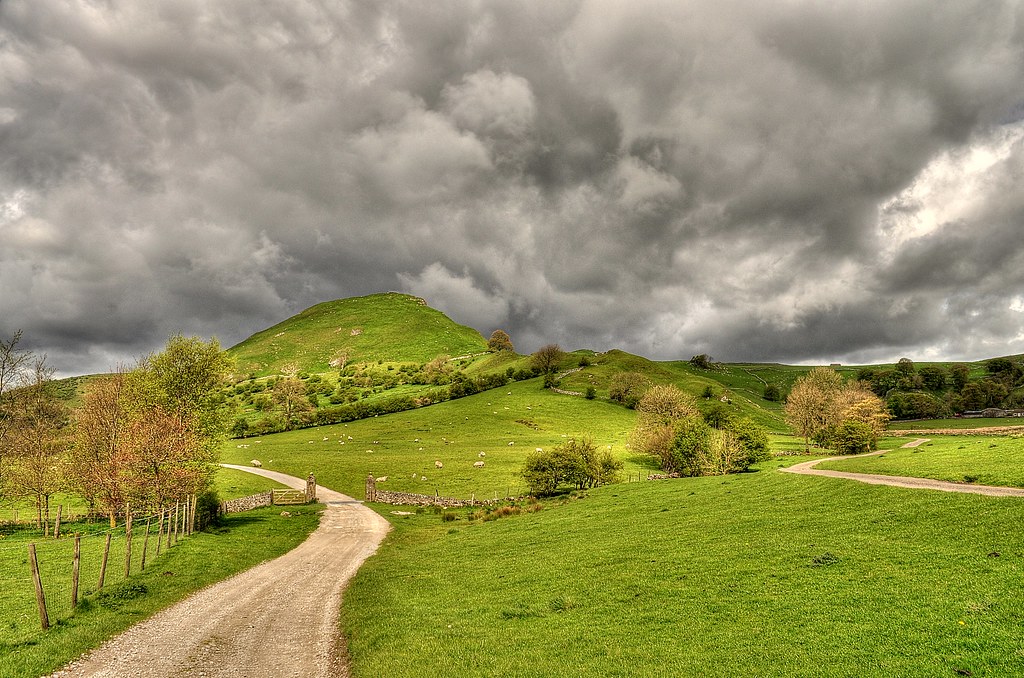
Chrome Hill from Parkhouse hill
Out and about!
View to the edge

Another tick on the list

Cave Dale view

hope valley in snow

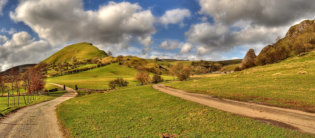
Two Hills
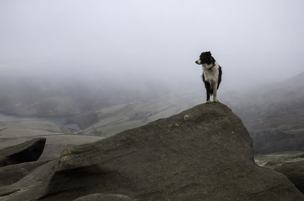
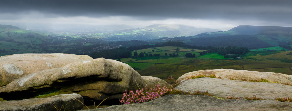
A rock with a view

Hollinsclough view
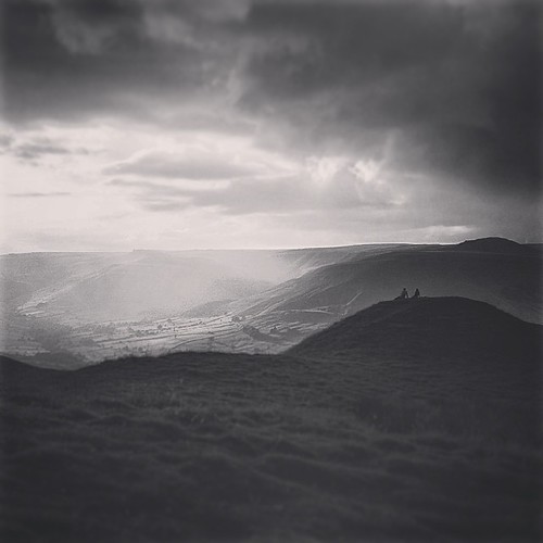
'She says you lack imagination, yet you dreamed her there' #edale #peakdistrict #blackandwhite #blackandwhite_uk #view #landscape #nature #derbyshire #2 #sunset #summer #sun #valley #hill #mountain #walking #hiking #mamtor #rushop #couple #sitting
View from Over Owler Tor
Chrome hill (explore)
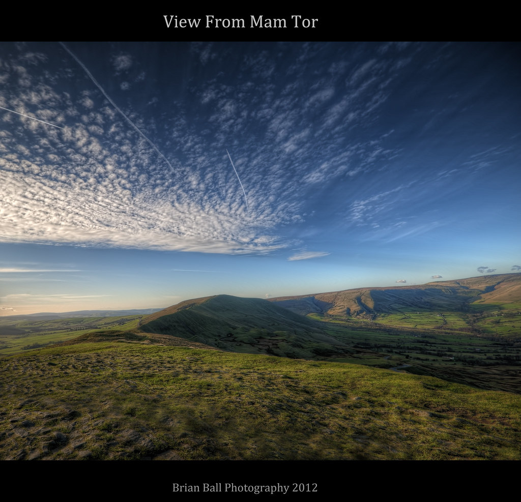
Mam Tor

sheep and sunset

CLIFF TOP
bamford edge

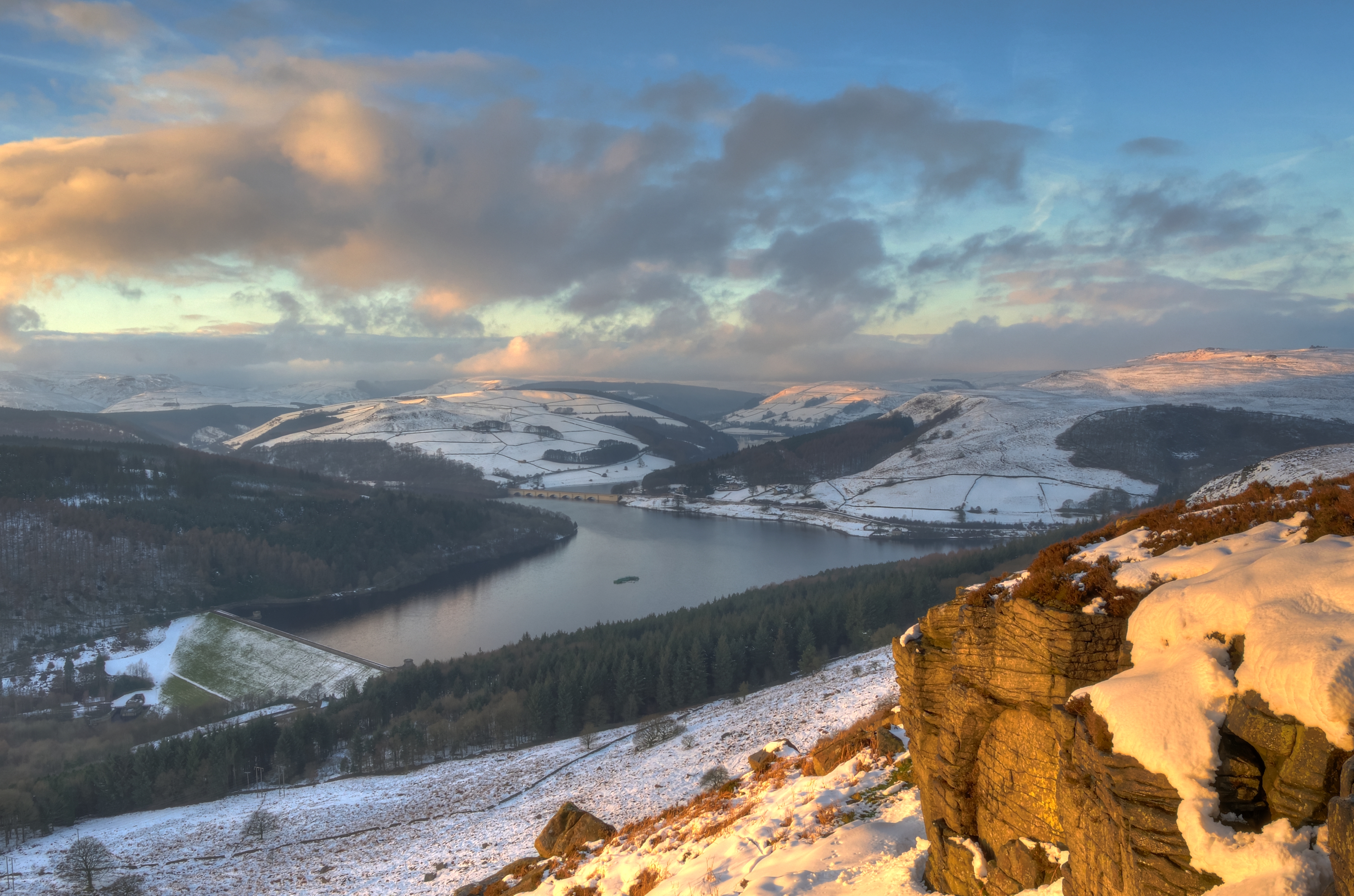
Ladybower dawn (explore)

Over Owler Tor Summer Sunset
Mood change over Chrome Hill

sunset and snow
The Promise of Things to Come..
Old Light

1524d Rivelin Valley Falls

Path into first light
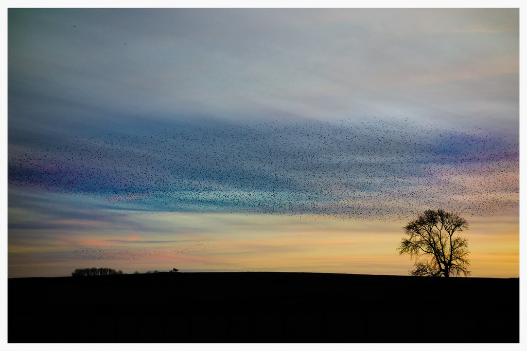
Mumuration!

Lady Bower Fishery

0929a Sunlight at Rivelin (2)

The Sheepwash Bridge. Ashford in the Water, Peak District, Sept 2012.
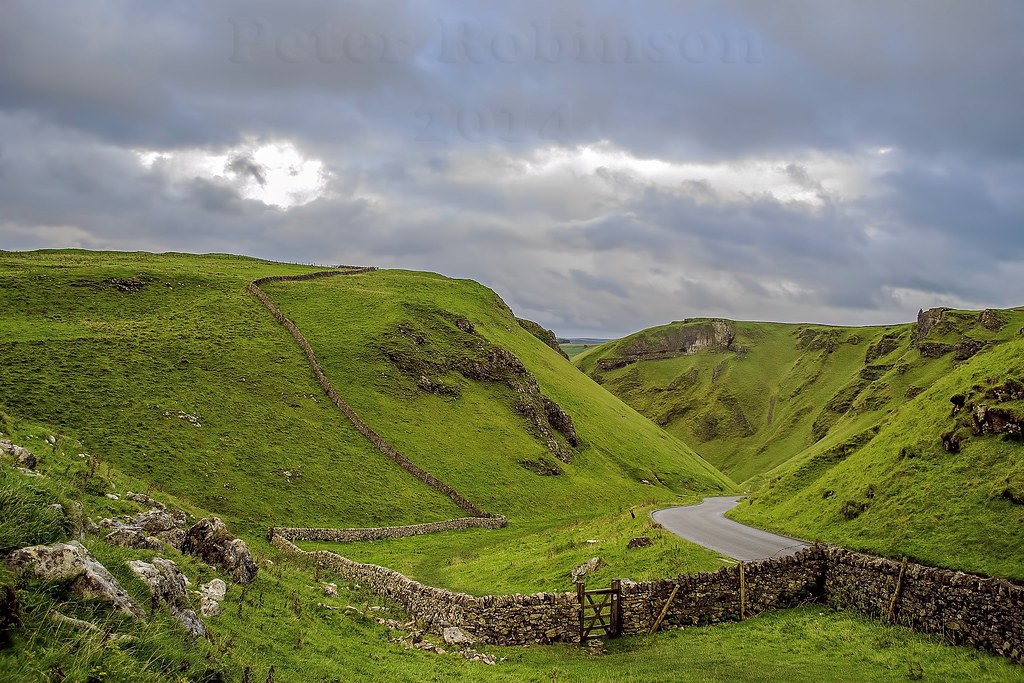
Winnats Pass, Castleton, Derbyshire
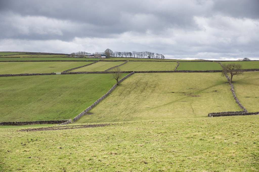
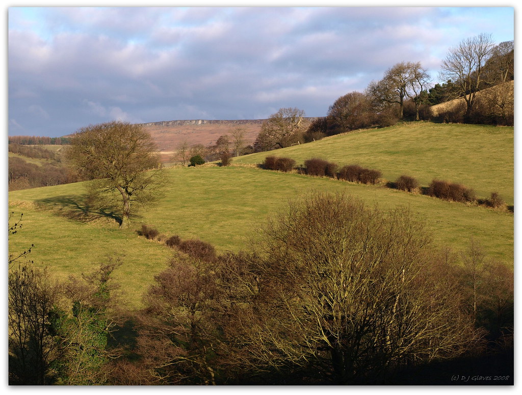
Field system
Topographic Map of Grindlow, Buxton SK17, UK
Find elevation by address:

Places in Grindlow, Buxton SK17, UK:
Places near Grindlow, Buxton SK17, UK:
Hall Farm Cottage
Wardlow
Bretton
Bretton Hostel
Barrel Inn
S33 9hp
Bradwell
Hope (derbyshire)
Hope
30 Thornhill Ln, Hope Valley S33 0AL, UK
Eyam
Hope Valley
The Barn At Mead Farm Luxury Holiday Cottages In The Peak
Bamford
Win Hill
Hope
Stoney Middleton
Bottom Cottage
Hathersage
Redmires Reservoirs
Recent Searches:
- Elevation of Corso Fratelli Cairoli, 35, Macerata MC, Italy
- Elevation of Tallevast Rd, Sarasota, FL, USA
- Elevation of 4th St E, Sonoma, CA, USA
- Elevation of Black Hollow Rd, Pennsdale, PA, USA
- Elevation of Oakland Ave, Williamsport, PA, USA
- Elevation of Pedrógão Grande, Portugal
- Elevation of Klee Dr, Martinsburg, WV, USA
- Elevation of Via Roma, Pieranica CR, Italy
- Elevation of Tavkvetili Mountain, Georgia
- Elevation of Hartfords Bluff Cir, Mt Pleasant, SC, USA