Elevation of The Barn At Mead Farm Luxury Holiday Cottages in The Peak, Edale Road, Hope Valley, Hope S33 6SF, UK
Location: United Kingdom > Derbyshire > High Peak District > Hope > Hope >
Longitude: -1.7477553
Latitude: 53.35514
Elevation: 175m / 574feet
Barometric Pressure: 99KPa
Elevation Map:
Satellite Map:
Related Photos:
Into the woods!
View from Stanage
The Limestone way...Cave dale.

Ruined Barn near Castleton

Ice and Fire
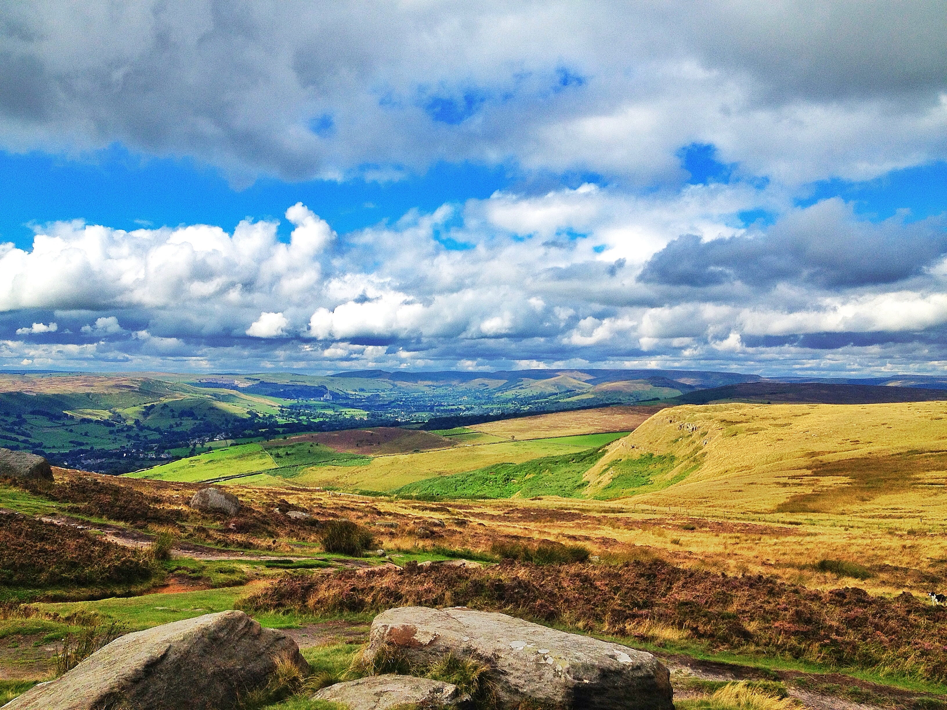
View from Over Owler Tor
Derwent Valley 1
Millstones on the Peak

The watcher
Wardlow Mires
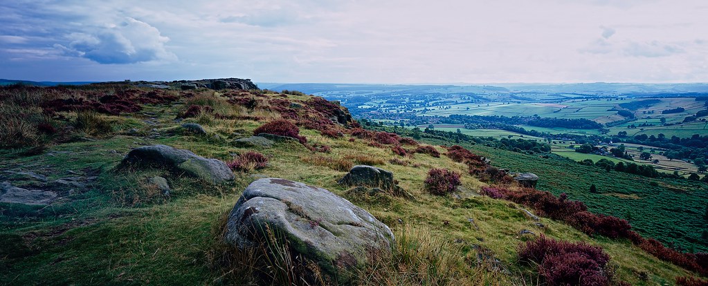
View from Higger Tor
End of Summer Afternoon - Version 2

Millstones on the edge
MIllstone on Bamford edge

Froggatt Edge
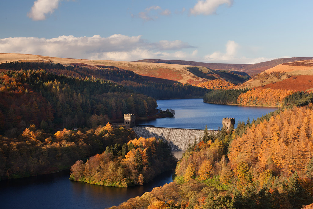
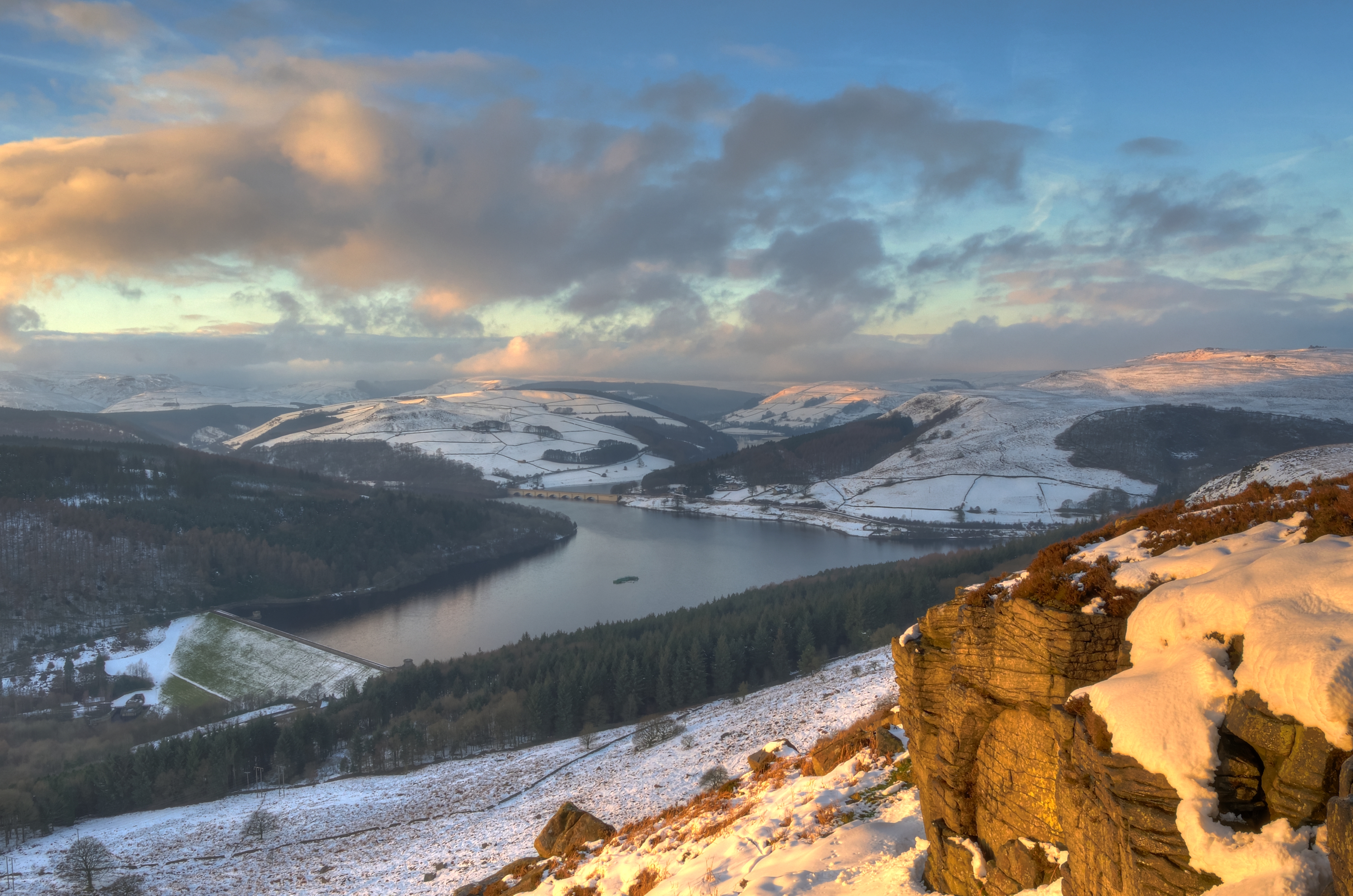
Howden Dam
The Event - Bamford Edge

Buxton: Bridges of the Pavilion Gardens
Ladybower. Popped out for an after tea walk..

Winter in the woods
August on the Moors

Ladybower dawn (explore)

Ladybower dawn 2 (explore)
Deep Dale near Sheldon

Peaks Paving

Red Wood

Mam Tor

Trees and Fields

Fields near Wardlow

CLIFF TOP
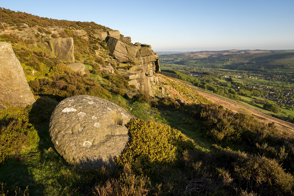
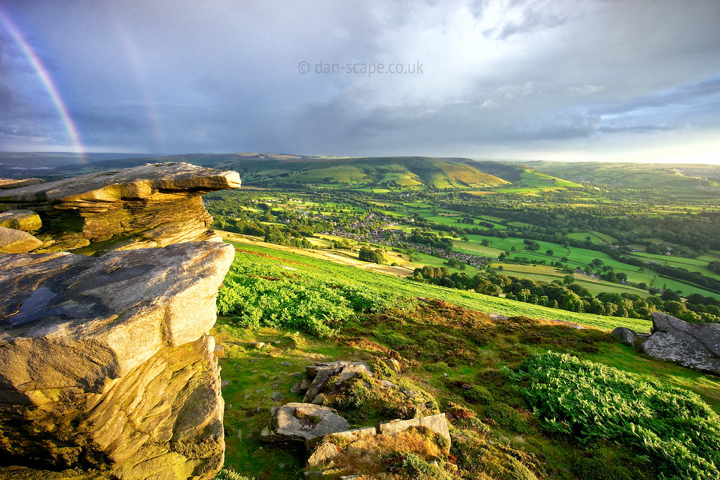
Over Owler Tor
bamford edge
Out and about

Taddington.

10537 January at Rivelin

1524d Rivelin Valley Falls

Over Owler Tor Summer Sunset

Cool and Warm
Topographic Map of The Barn At Mead Farm Luxury Holiday Cottages in The Peak, Edale Road, Hope Valley, Hope S33 6SF, UK
Find elevation by address:

Places near The Barn At Mead Farm Luxury Holiday Cottages in The Peak, Edale Road, Hope Valley, Hope S33 6SF, UK:
Hope
Hope
Hope (derbyshire)
Bradwell
Win Hill
S33 9hp
30 Thornhill Ln, Hope Valley S33 0AL, UK
Bamford
Hope Valley
Hall Farm Cottage
Grindlow
Bretton Hostel
Bretton
Barrel Inn
Wardlow
Hathersage
Eyam
Stoney Middleton
Bottom Cottage
Bradfield Dale
Recent Searches:
- Elevation of Zimmer Trail, Pennsylvania, USA
- Elevation of 87 Kilmartin Ave, Bristol, CT, USA
- Elevation of Honghe National Nature Reserve, QP95+PJP, Tongjiang, Heilongjiang, Jiamusi, Heilongjiang, China
- Elevation of Hercules Dr, Colorado Springs, CO, USA
- Elevation of Szlak pieszy czarny, Poland
- Elevation of Griffing Blvd, Biscayne Park, FL, USA
- Elevation of Kreuzburger Weg 13, Düsseldorf, Germany
- Elevation of Gateway Blvd SE, Canton, OH, USA
- Elevation of East W.T. Harris Boulevard, E W.T. Harris Blvd, Charlotte, NC, USA
- Elevation of West Sugar Creek, Charlotte, NC, USA