Elevation of Hathersage, Hope Valley S32, UK
Location: United Kingdom > Derbyshire >
Longitude: -1.6563548
Latitude: 53.3300114
Elevation: 150m / 492feet
Barometric Pressure: 100KPa
Elevation Map:
Satellite Map:
Related Photos:
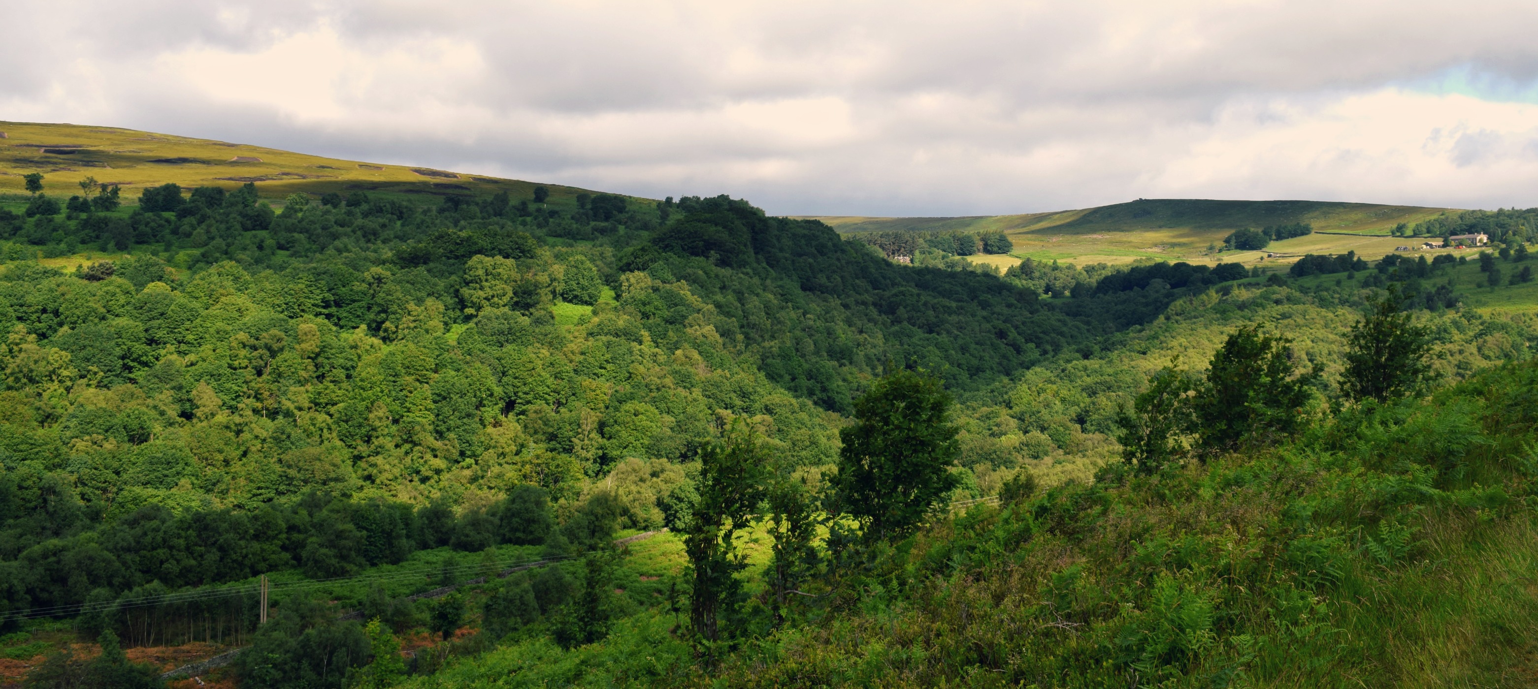
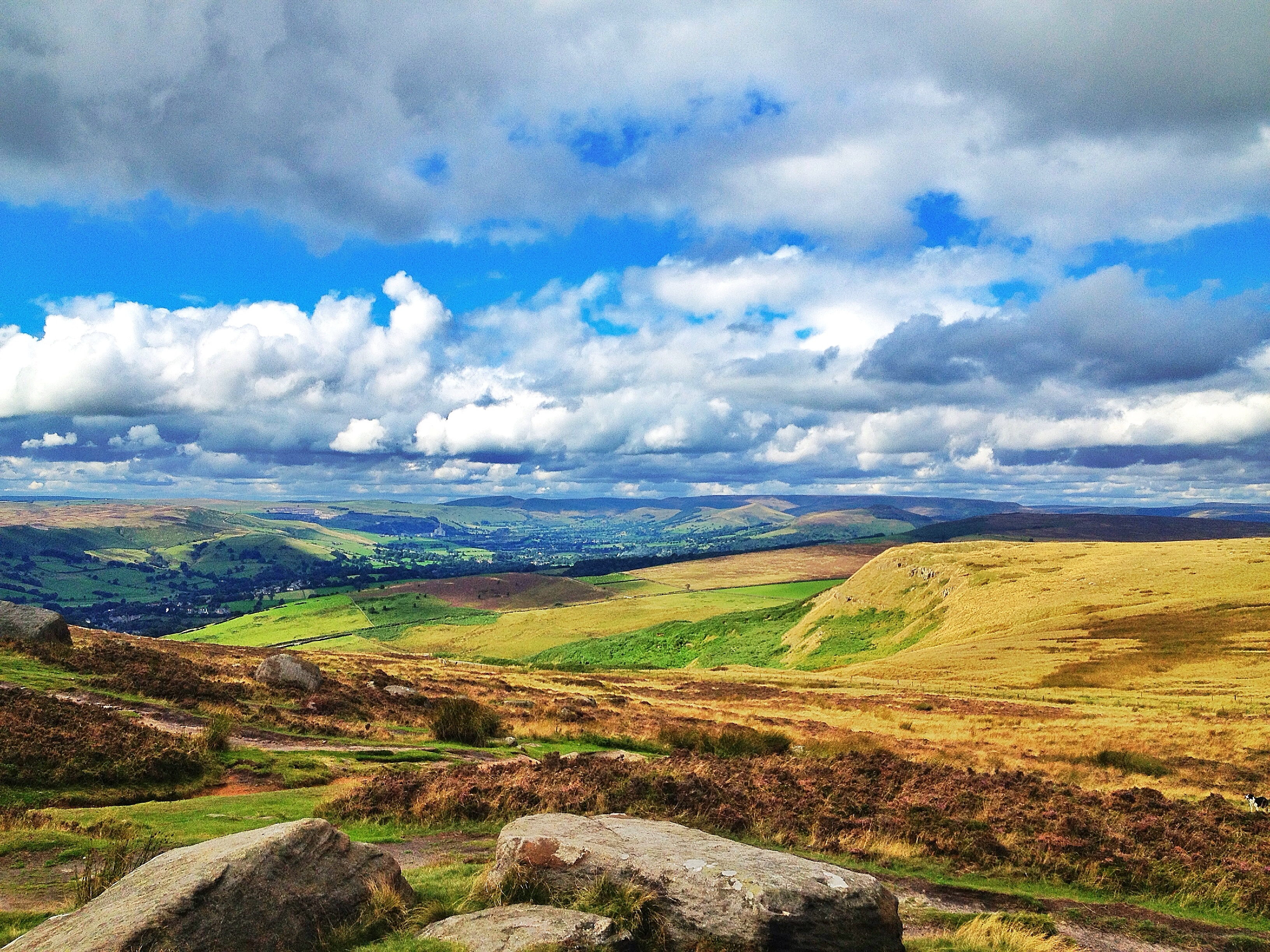
August on the Moors
Ruined Barn near Castleton
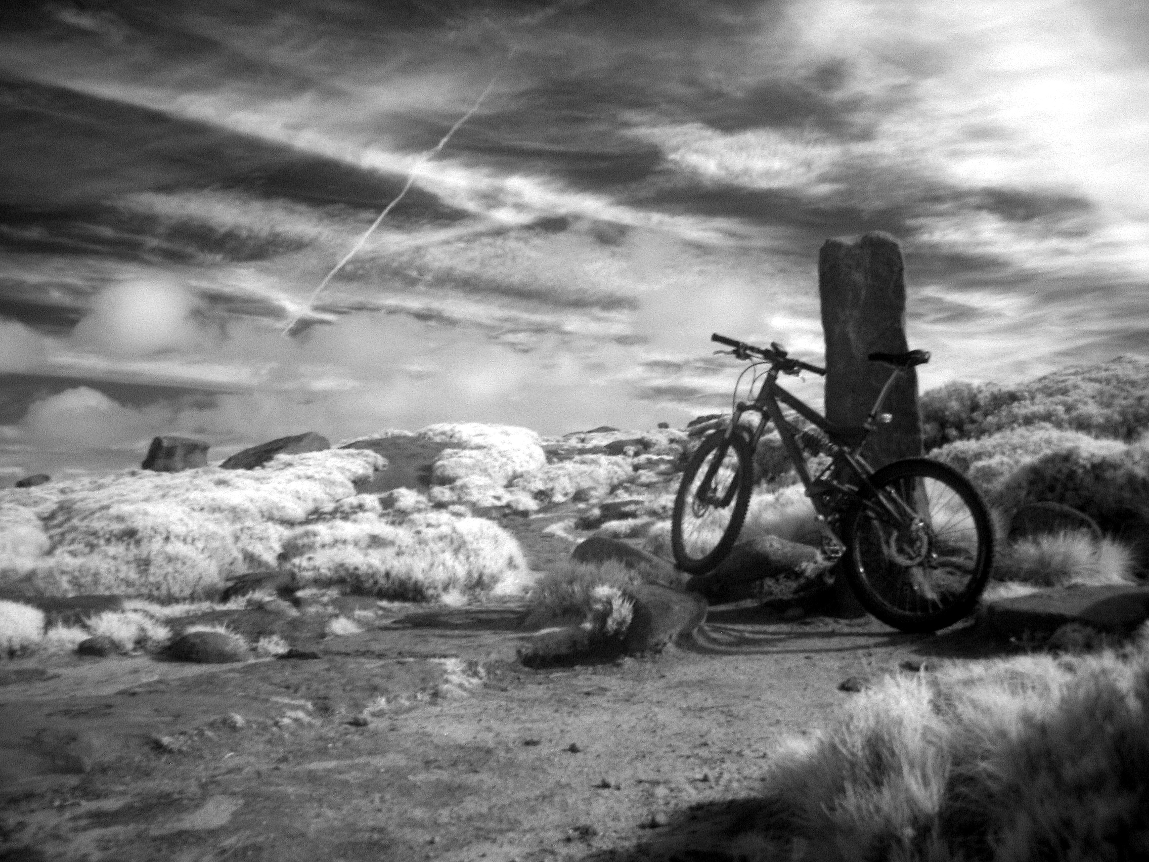
Ice and Fire

Chris on Mam Tor
Out and about!
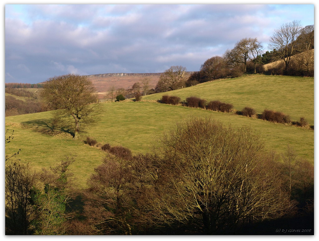
Agdenside.
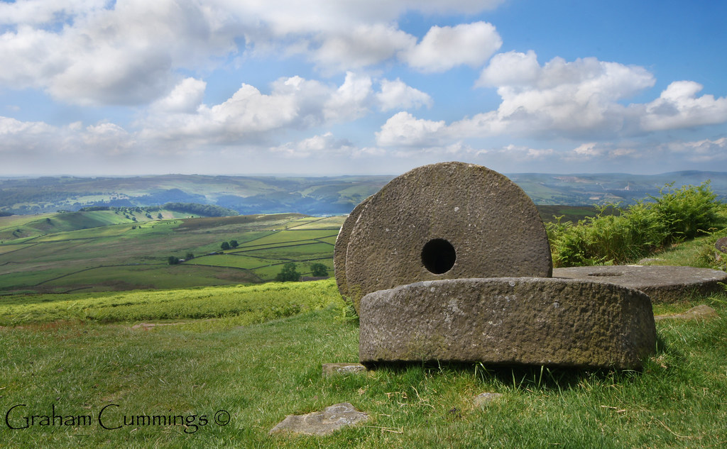
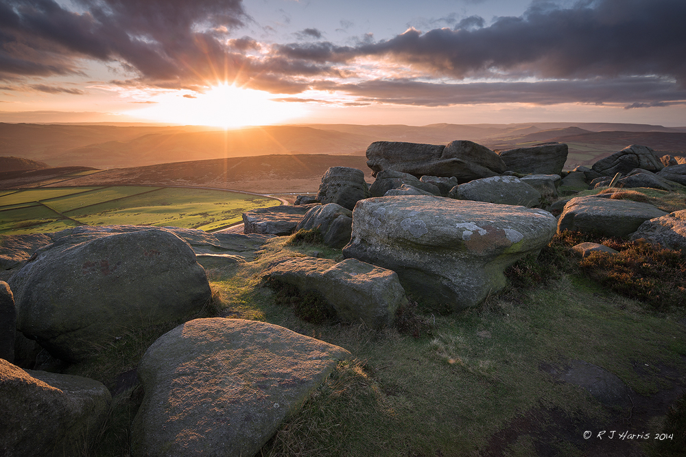
Millstones on the Peak
Back Tor
View to the edge

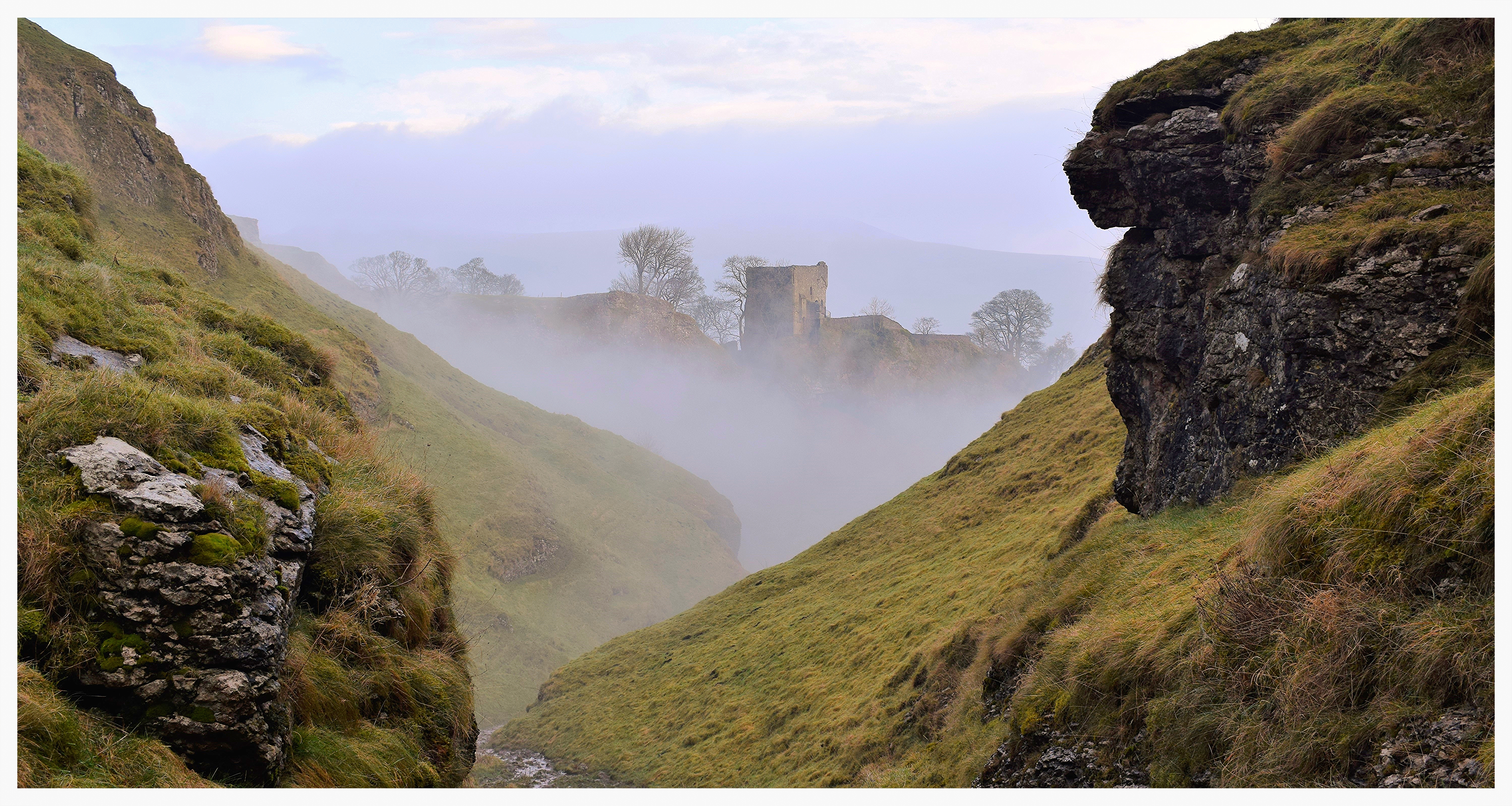
Down the misty valley
Howden Reservoir
View from Higger Tor
End of Summer Afternoon - Version 2

The Great Ridge
View To Lose Hill

Wending the way Home

The view the Vicar has....

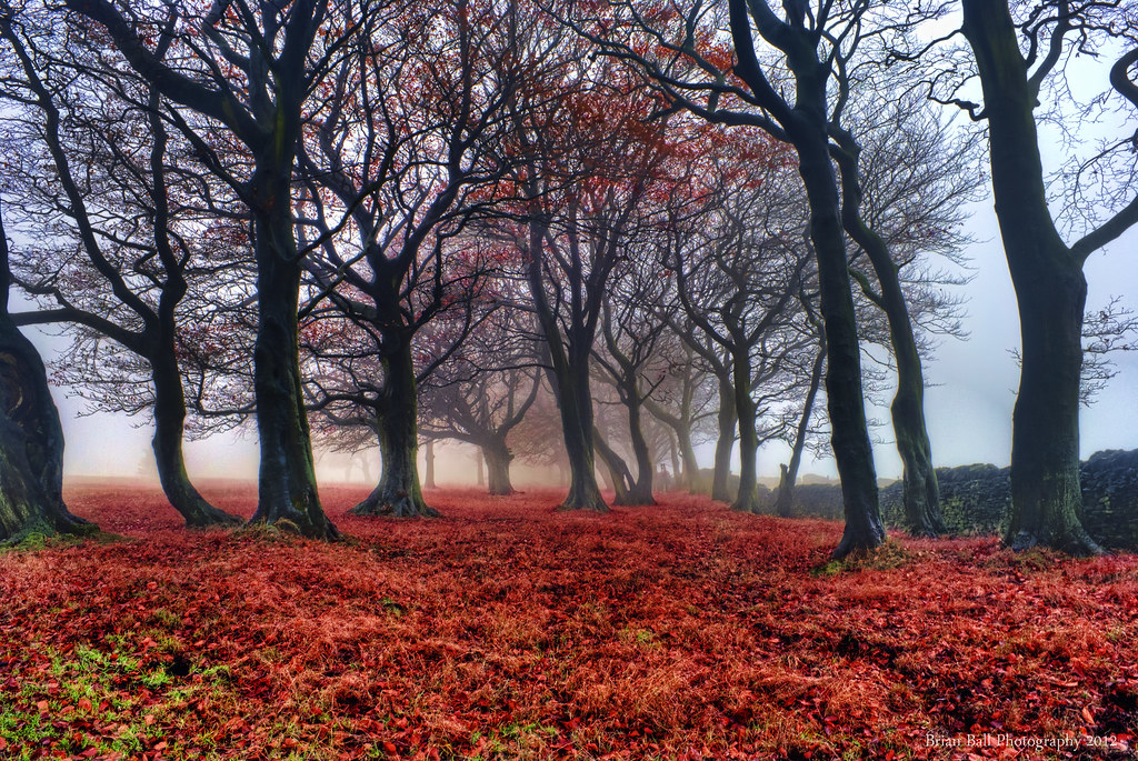
Curtain of Red

Froggatt Edge
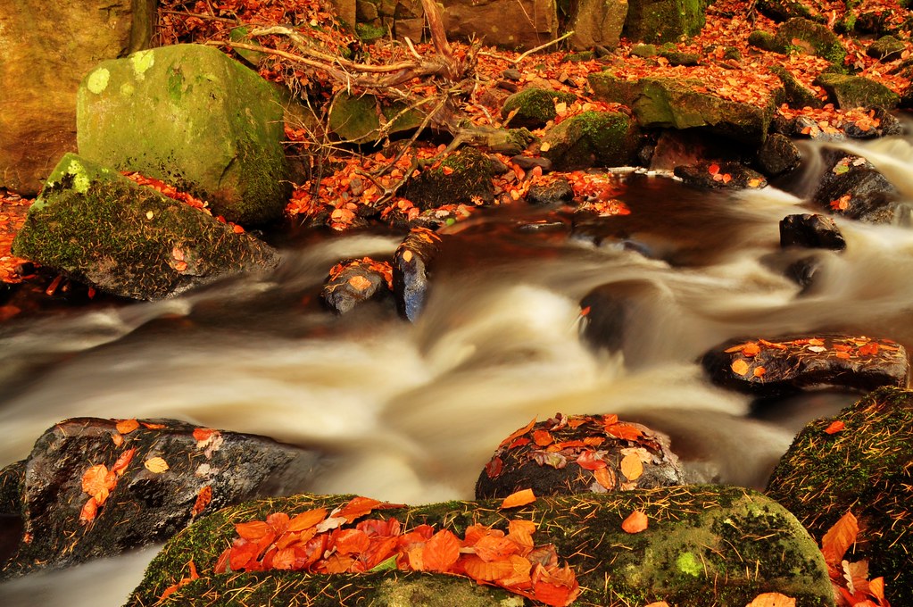
The Ripples of Autumn!
Into the woods!
Fields near Wardlow
Over Owler Tor
View from Stanage
bamford edge
Deep Dale near Sheldon
Wardlow Mires

Curbar Edge
Stanage Flair
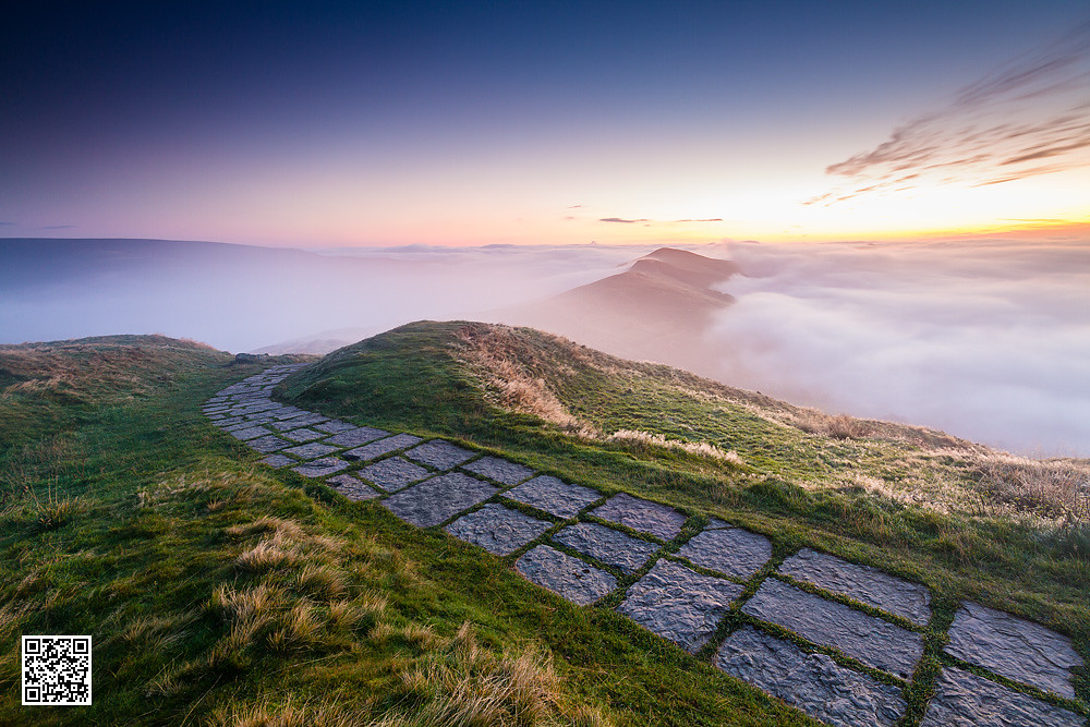
Peaks Paving

Derwent moors 2
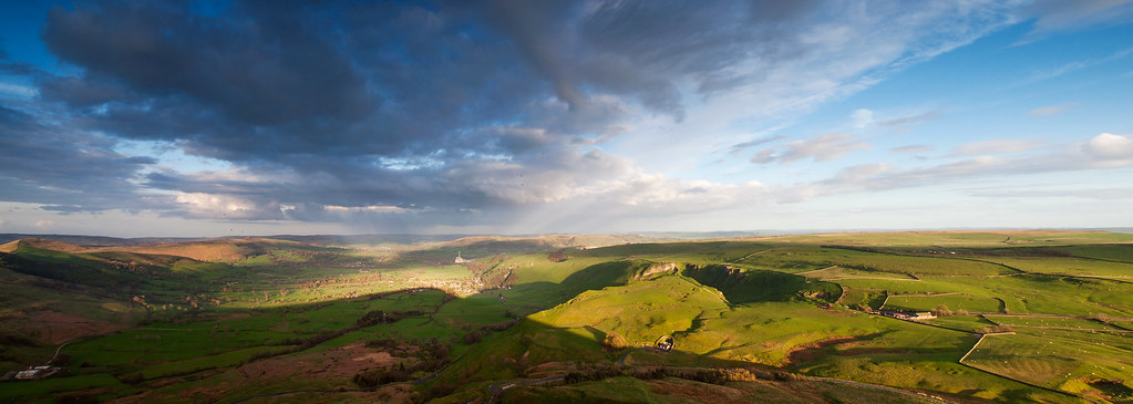
From-Mam-Torr-panorama Explored
Padley gorge Autumn
Red Wood
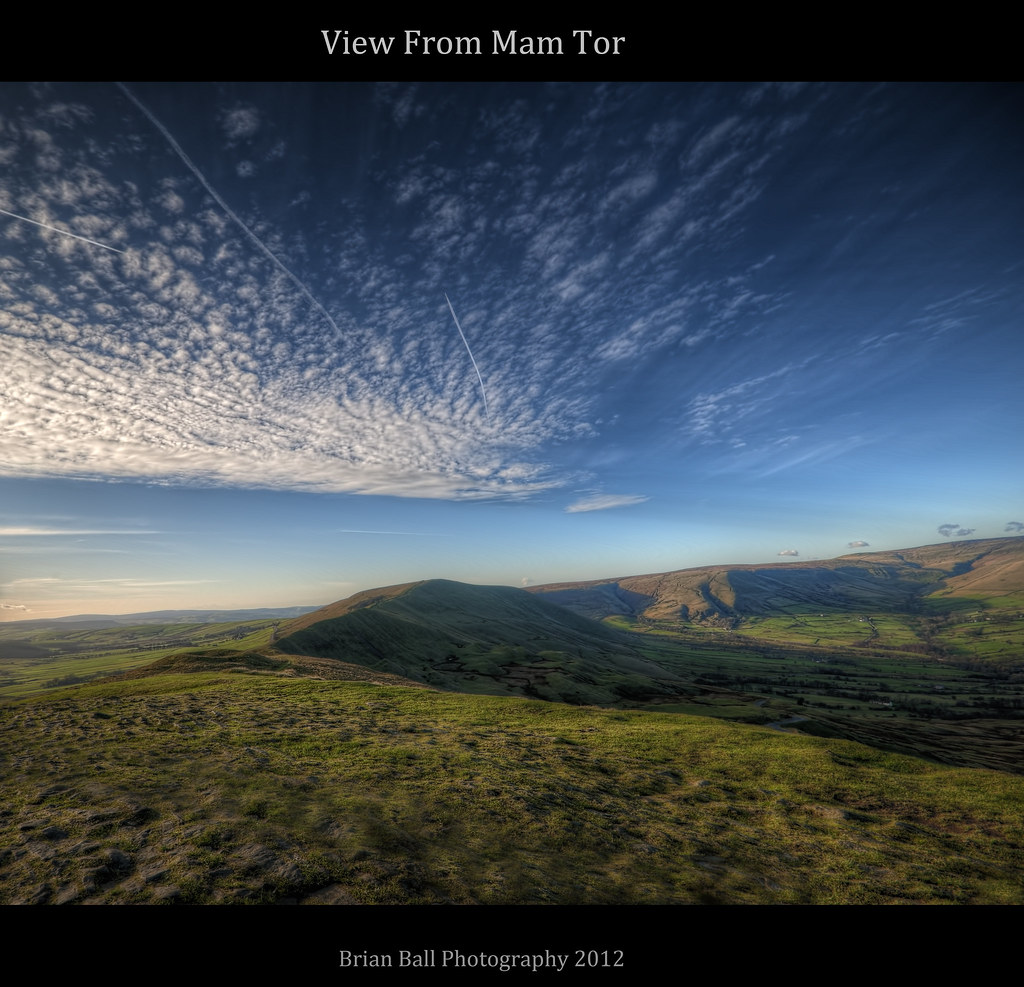
Mam Tor
River Noe
The Limestone way...Cave dale.
Out and about

Ladybower dawn (explore)

Taddington.
Topographic Map of Hathersage, Hope Valley S32, UK
Find elevation by address:

Places near Hathersage, Hope Valley S32, UK:
Hope Valley
Bamford
Eyam
30 Thornhill Ln, Hope Valley S33 0AL, UK
Stoney Middleton
Bretton Hostel
Barrel Inn
Bottom Cottage
Redmires Reservoirs
Bretton
Stony Ridge Road
Fox House
Win Hill
Hope (derbyshire)
Hall Farm Cottage
S33 9hp
Grindlow
Bradwell
Hope
S6 6hu
Recent Searches:
- Elevation of Corso Fratelli Cairoli, 35, Macerata MC, Italy
- Elevation of Tallevast Rd, Sarasota, FL, USA
- Elevation of 4th St E, Sonoma, CA, USA
- Elevation of Black Hollow Rd, Pennsdale, PA, USA
- Elevation of Oakland Ave, Williamsport, PA, USA
- Elevation of Pedrógão Grande, Portugal
- Elevation of Klee Dr, Martinsburg, WV, USA
- Elevation of Via Roma, Pieranica CR, Italy
- Elevation of Tavkvetili Mountain, Georgia
- Elevation of Hartfords Bluff Cir, Mt Pleasant, SC, USA