Elevation of Bretton, Hope Valley S32 5QD, UK
Location: United Kingdom > Derbyshire > Eyam >
Longitude: -1.705315
Latitude: 53.295494
Elevation: 296m / 971feet
Barometric Pressure: 98KPa
Elevation Map:
Satellite Map:
Related Photos:
The Ripples of Autumn!
Into the woods!
View from Stanage
August on the Moors
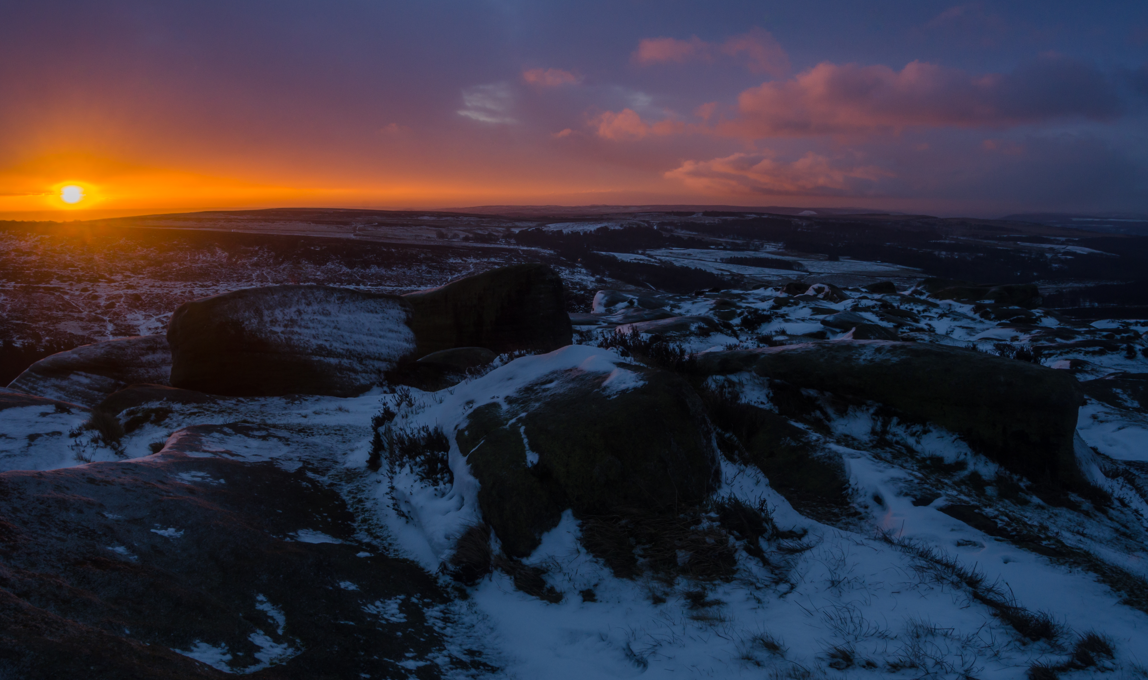
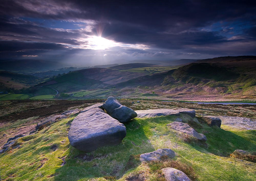
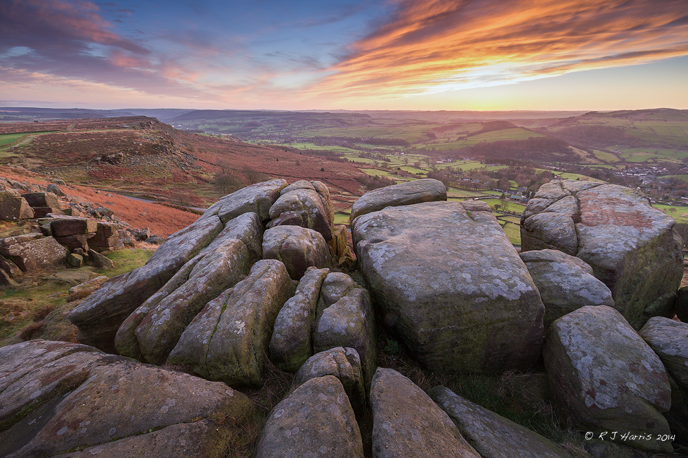
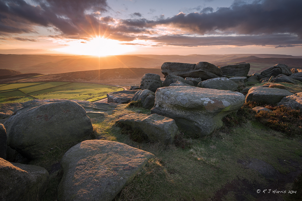
Ice and Fire

View from Derwent Edge...
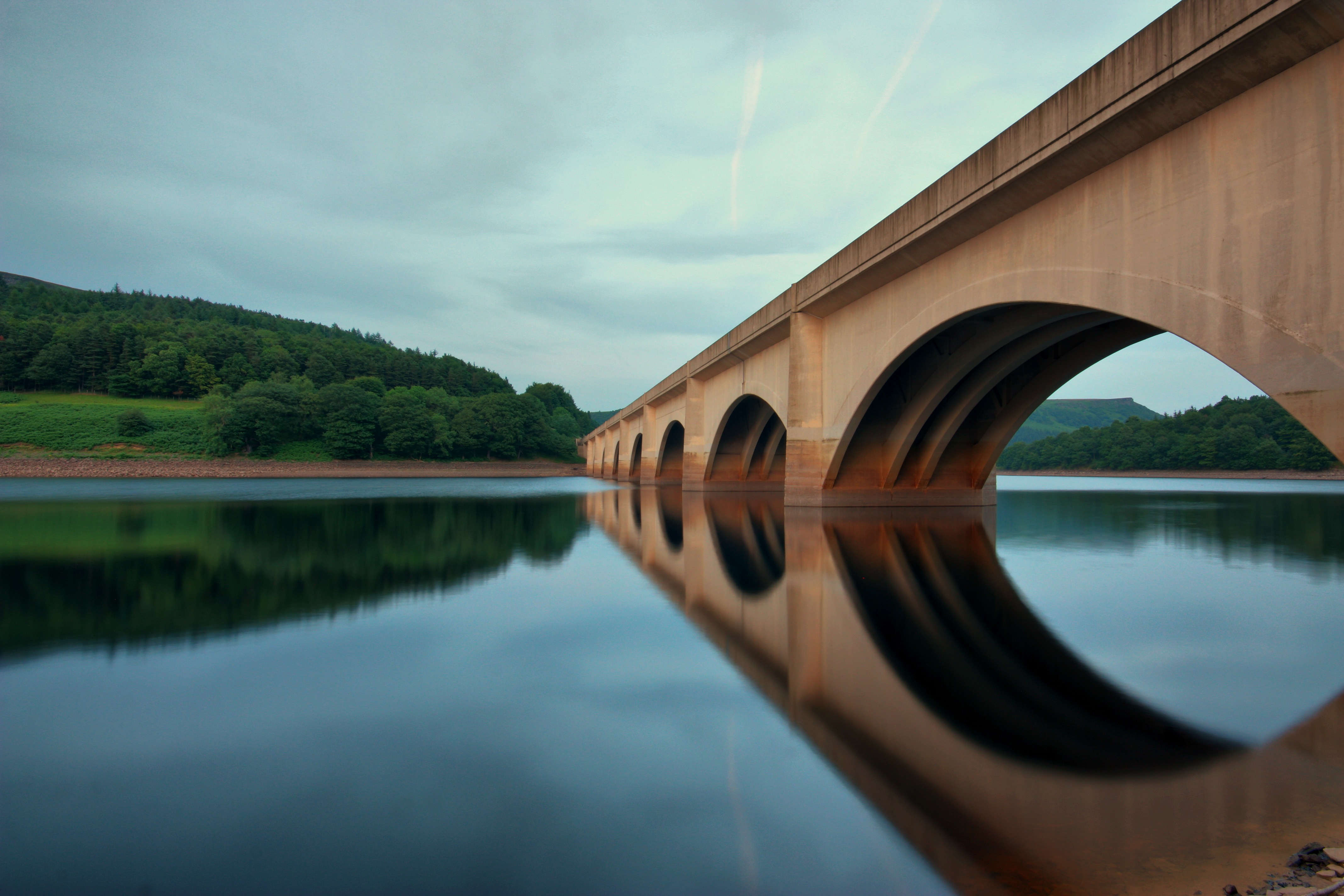
Ladybower Bridge
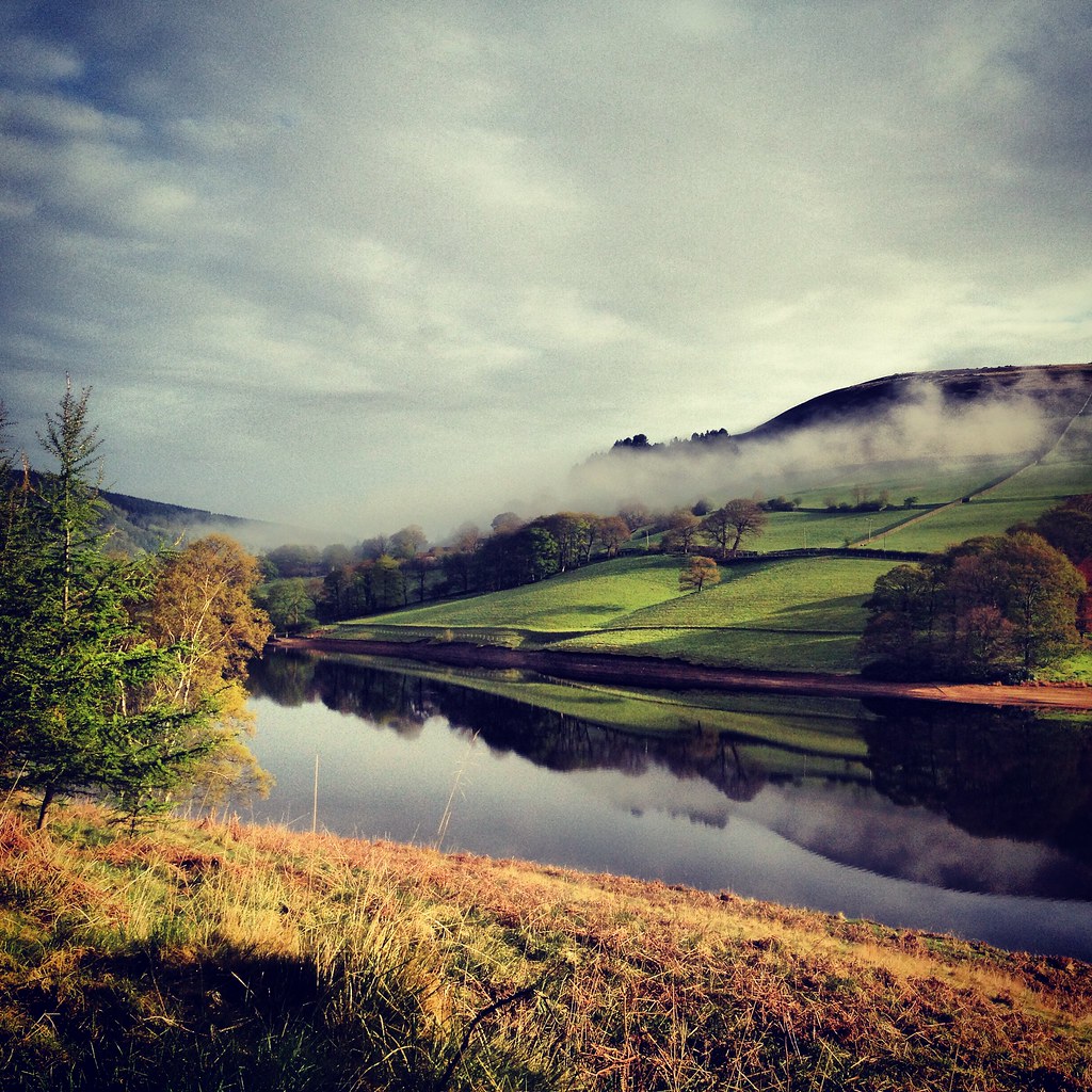
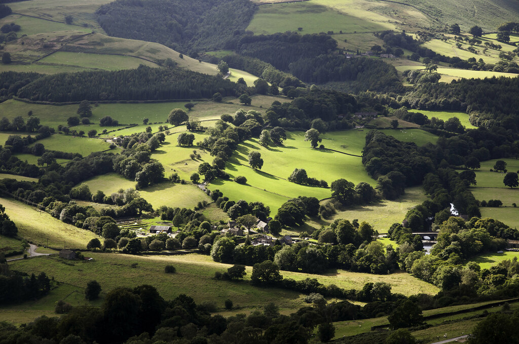
Derwent Valley 1
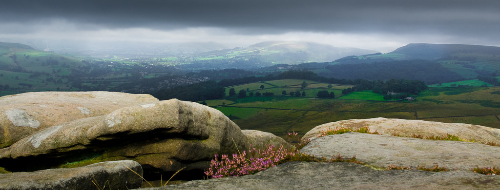
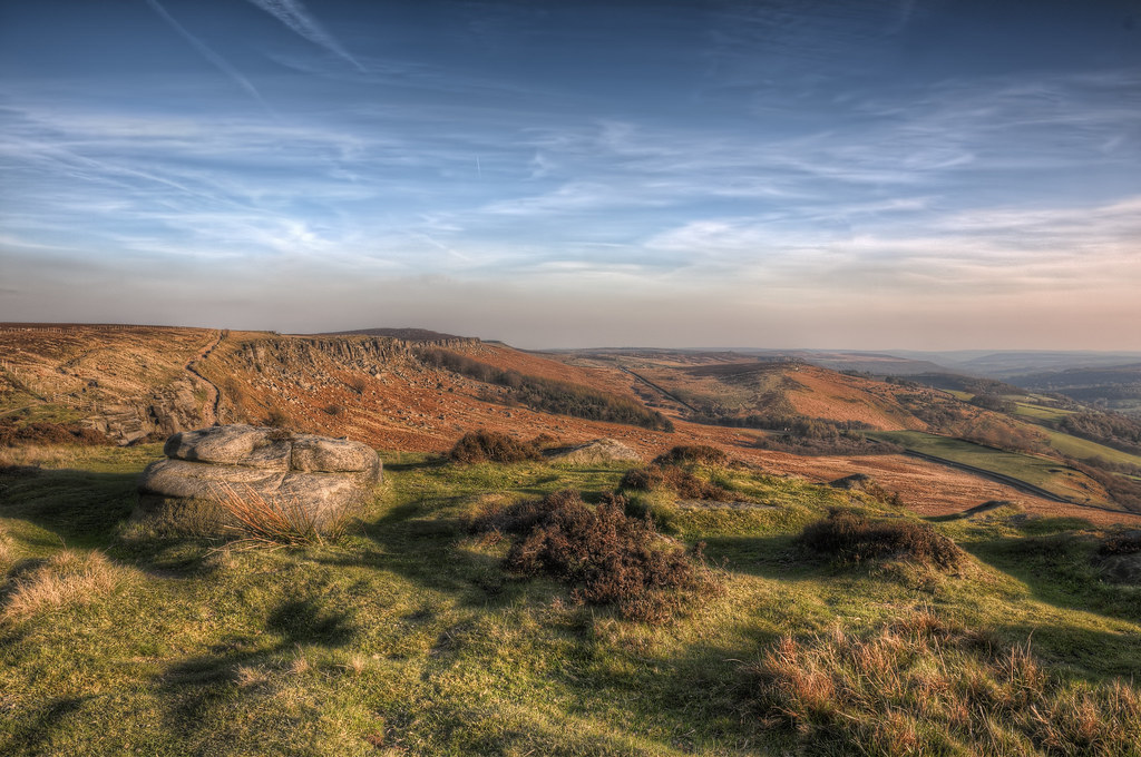
View from Over Owler Tor
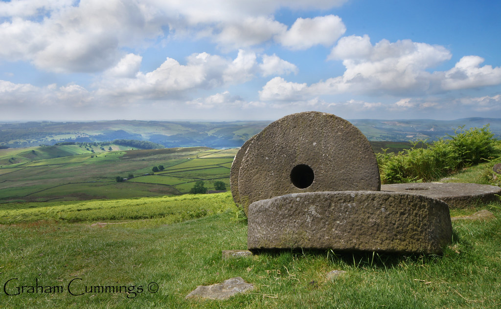
Millstones on the Peak

Cave Dale view
Grindleford in sunlight
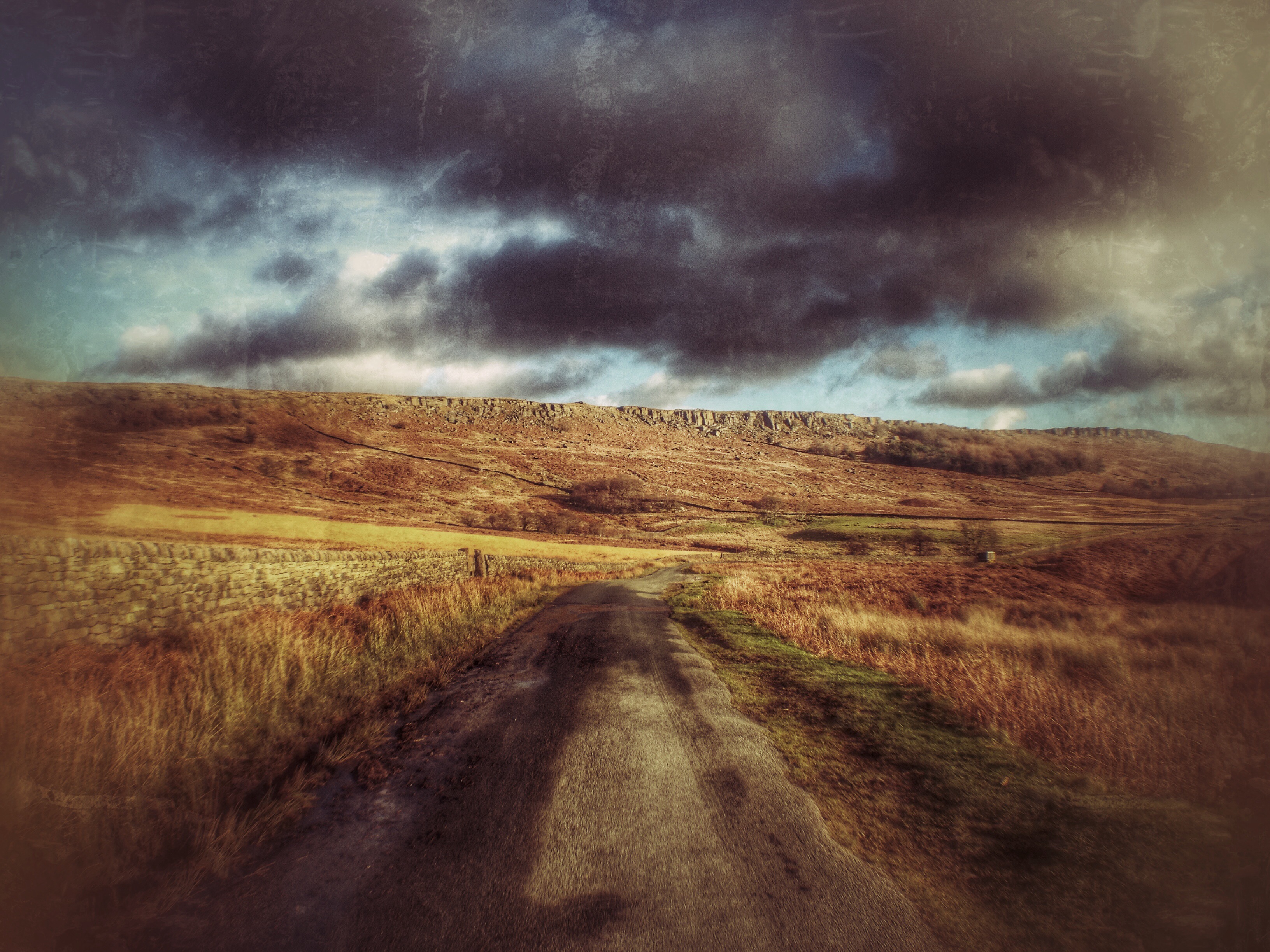
The Other Way
Derbyshire159 - Callow Bank from Higger Tor - EXPLORED
Back Tor
Summer - Explored

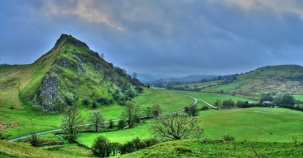
Chrome Hill from Parkhouse hill

Down the misty valley

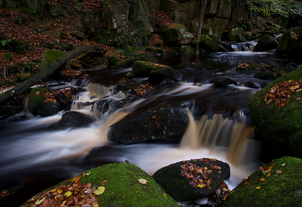
5117d In Full Flow
Wardlow Mires
passing front

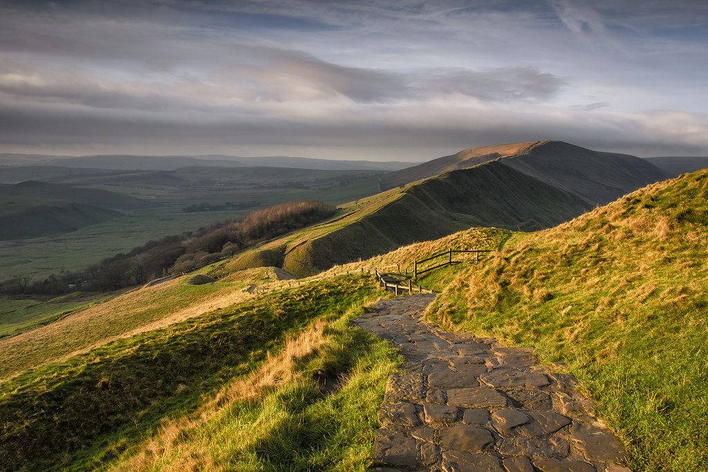
Mam Tor
Over Owler Tor

Ladybower dawn (explore)
Out and about
Ruined Barn near Castleton

Ladybower dawn 2 (explore)

10537 January at Rivelin

1524d Rivelin Valley Falls
Ladybower in all its splendour (Explore)
Parkhouse Hill and the Dove Valley

0929a Sunlight at Rivelin (2)
Autumnal Splendour
Stanage edge

Over Owler Tor Summer Sunset
Curbar Sunset
Out and about!
Stanage Flair
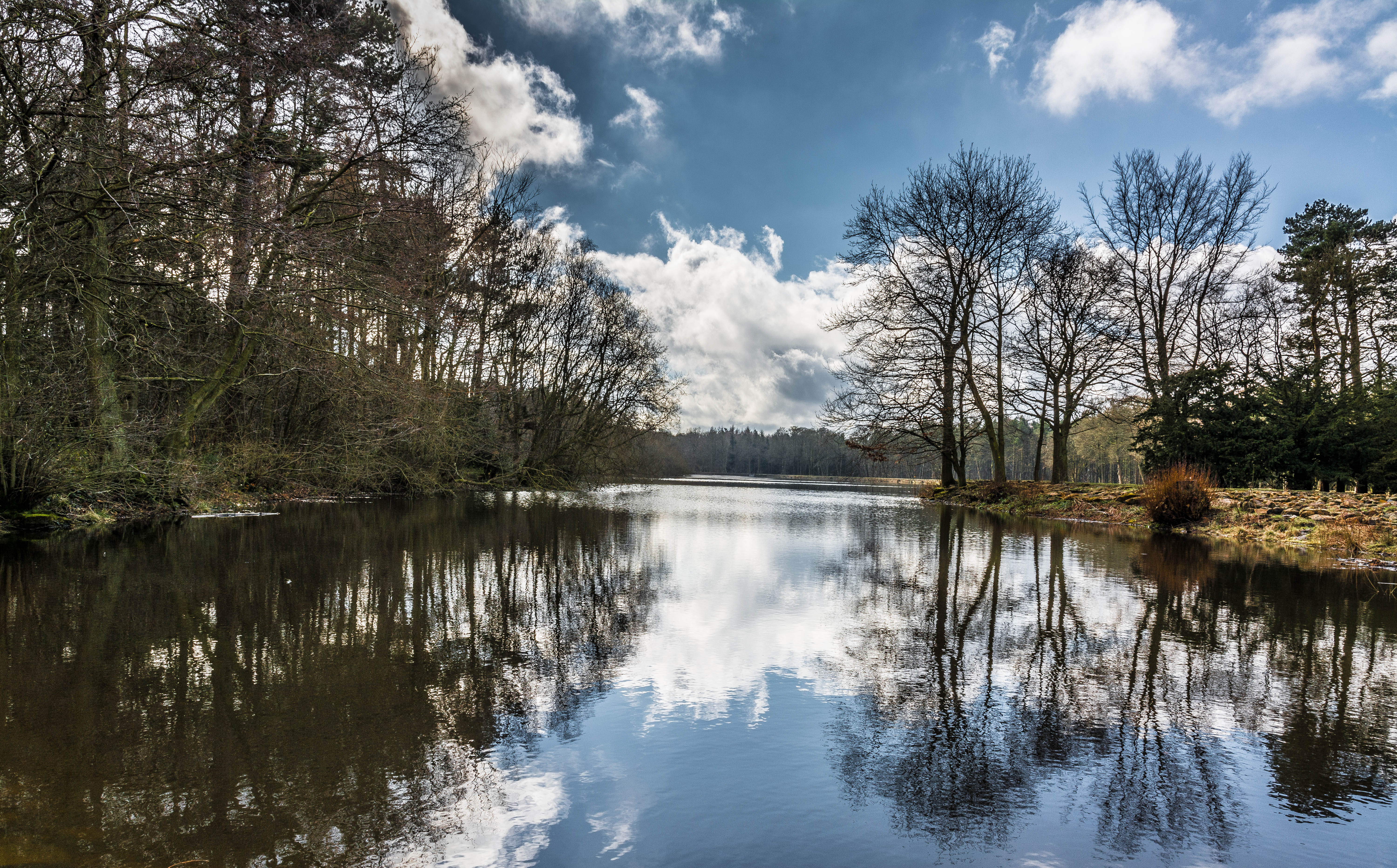
Emporor Lake....
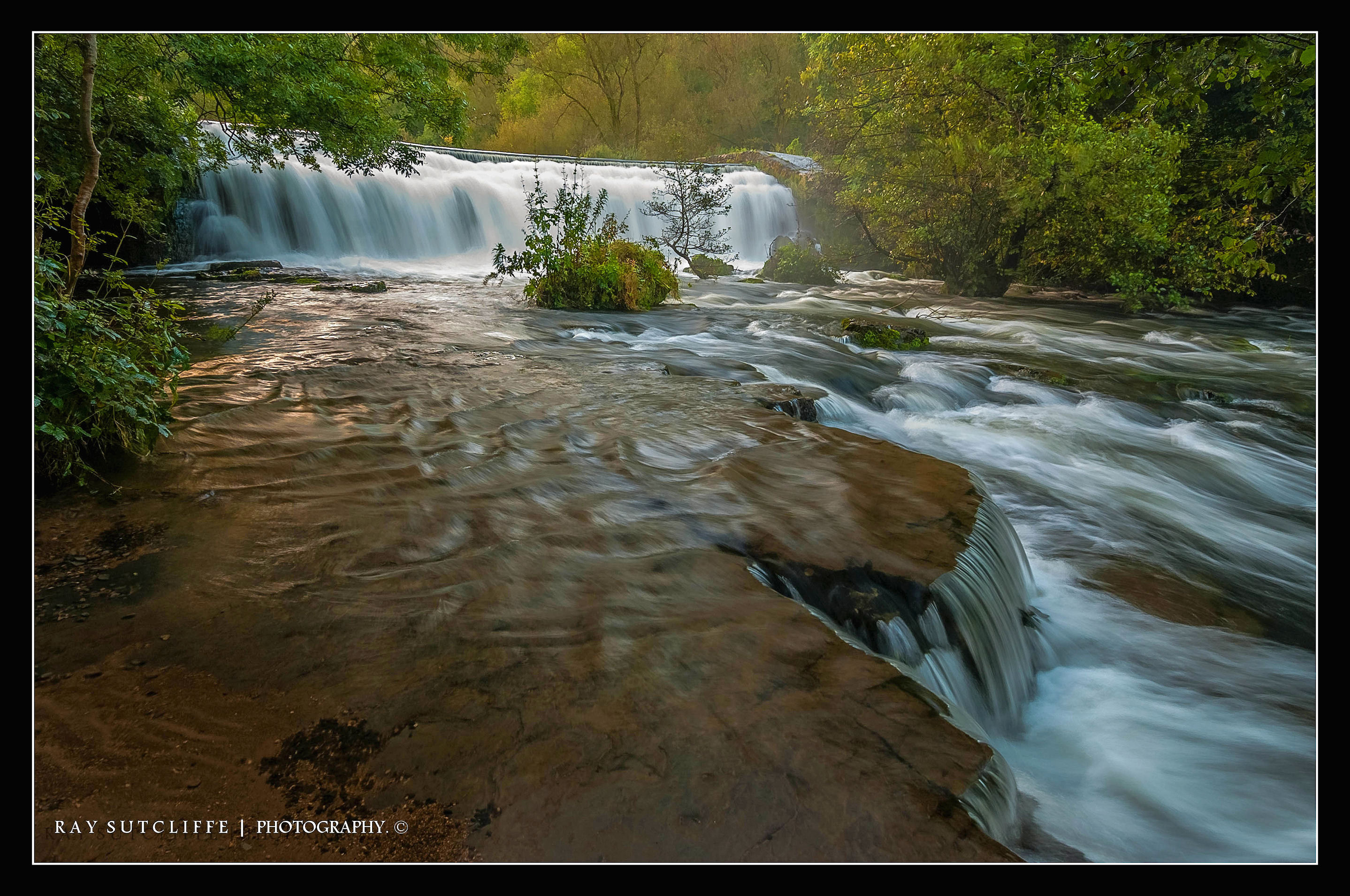
Monsal Dale weir ,the River Wye, Sept 2012.
Topographic Map of Bretton, Hope Valley S32 5QD, UK
Find elevation by address:

Places near Bretton, Hope Valley S32 5QD, UK:
Barrel Inn
Bretton Hostel
Hall Farm Cottage
Grindlow
Eyam
Wardlow
S33 9hp
Hope Valley
30 Thornhill Ln, Hope Valley S33 0AL, UK
Bradwell
Stoney Middleton
Bottom Cottage
Bamford
Hope (derbyshire)
Hathersage
Hope
Win Hill
The Barn At Mead Farm Luxury Holiday Cottages In The Peak
Hope
Stony Ridge Road
Recent Searches:
- Elevation of Corso Fratelli Cairoli, 35, Macerata MC, Italy
- Elevation of Tallevast Rd, Sarasota, FL, USA
- Elevation of 4th St E, Sonoma, CA, USA
- Elevation of Black Hollow Rd, Pennsdale, PA, USA
- Elevation of Oakland Ave, Williamsport, PA, USA
- Elevation of Pedrógão Grande, Portugal
- Elevation of Klee Dr, Martinsburg, WV, USA
- Elevation of Via Roma, Pieranica CR, Italy
- Elevation of Tavkvetili Mountain, Georgia
- Elevation of Hartfords Bluff Cir, Mt Pleasant, SC, USA