Elevation of Greenville Rd, White Plains, KY, USA
Location: United States > Kentucky > Hopkins County >
Longitude: -87.364188
Latitude: 37.2098904
Elevation: 129m / 423feet
Barometric Pressure: 100KPa
Elevation Map:
Satellite Map:
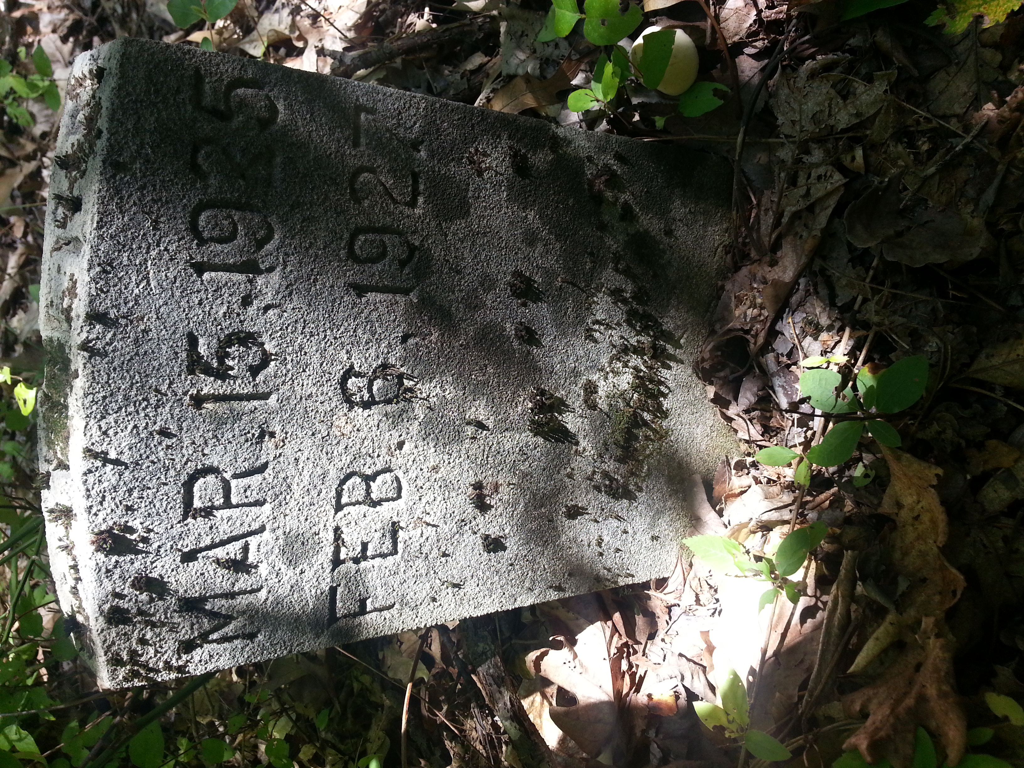
Related Photos:

Same Scene August 2011
Cathrin 1 of 2

Slaton farm

Iphone pics 103
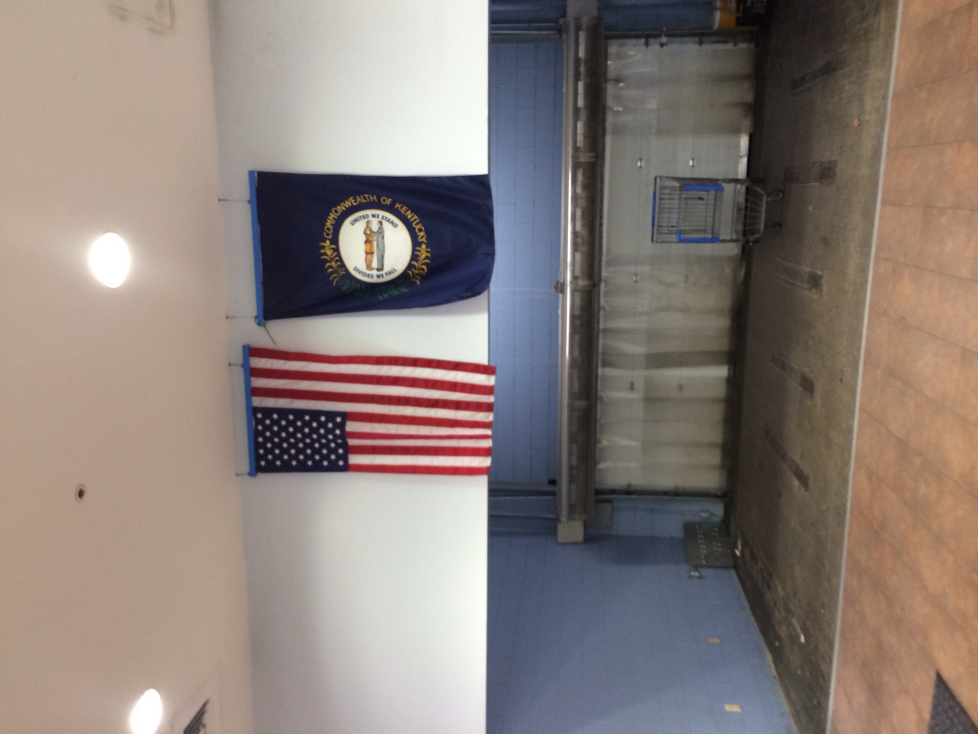
US and Kentucky Flags--Madisonville KY
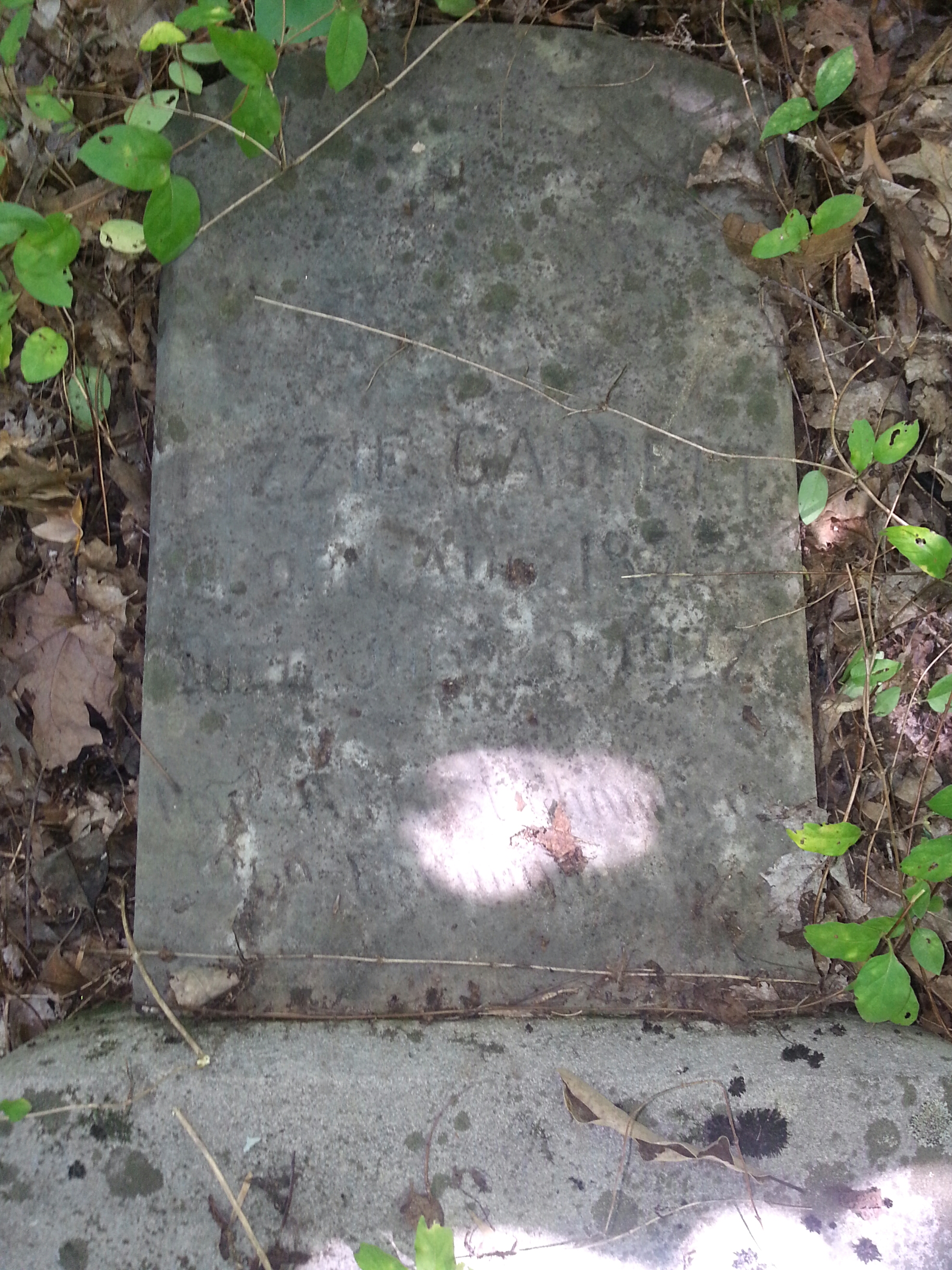
Lizzie Gant
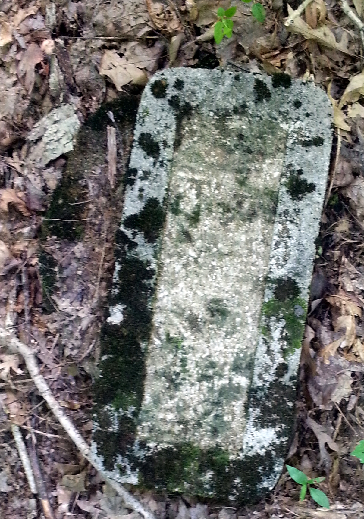
Couldnt make heads or tails of this one.
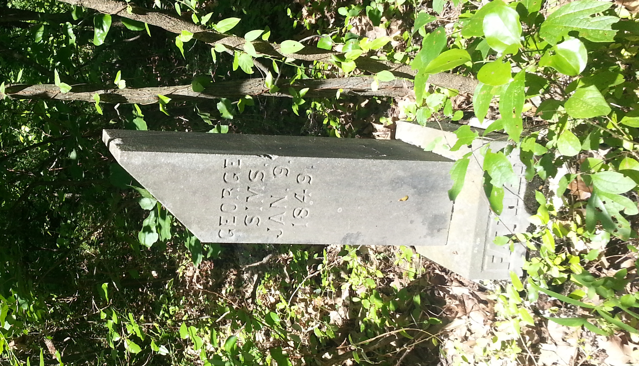
George Simms
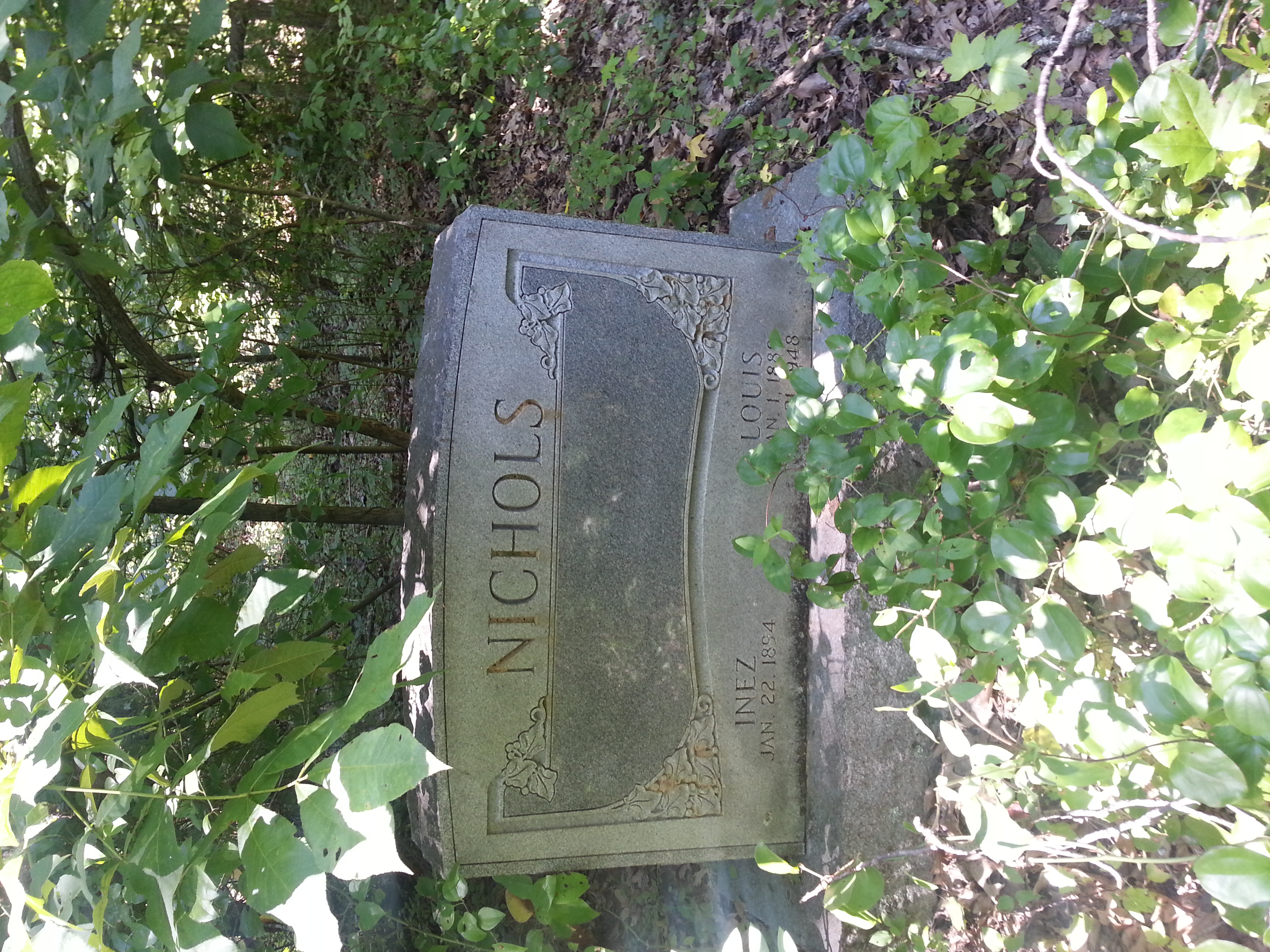
Louis Nichols
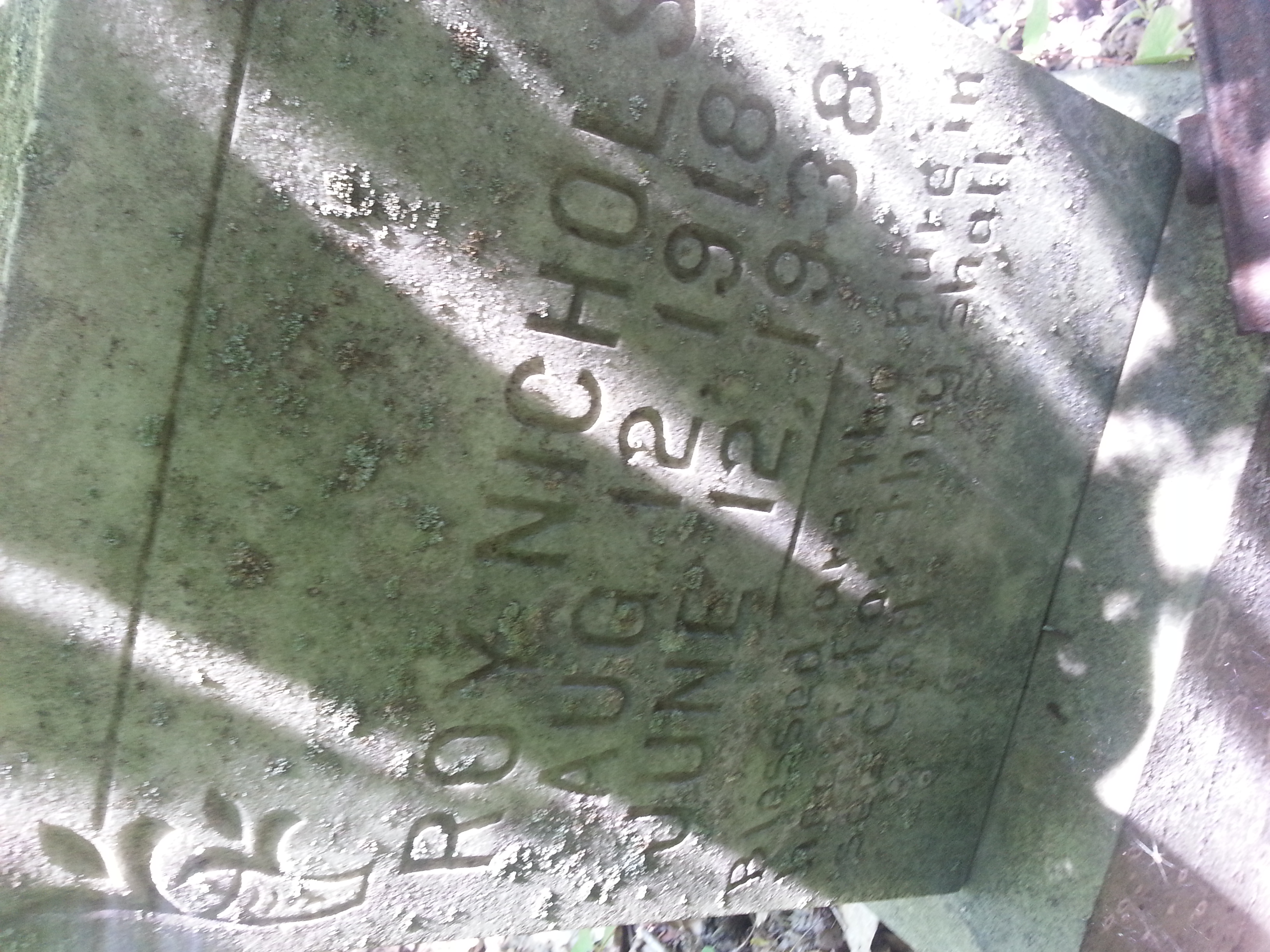
Roy Nichols
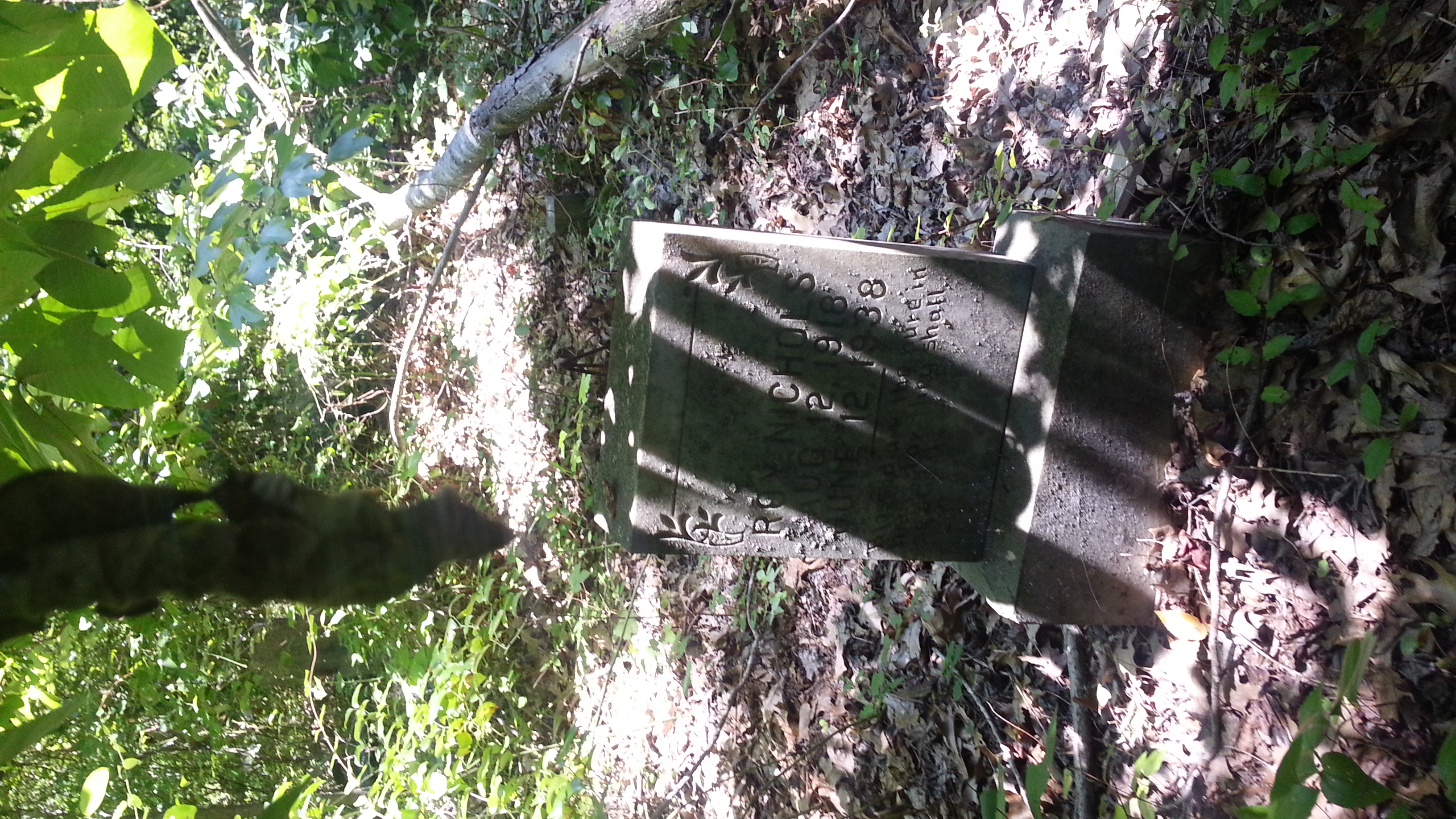
Roy Nichols 2 of 2

Louise 2 of 2
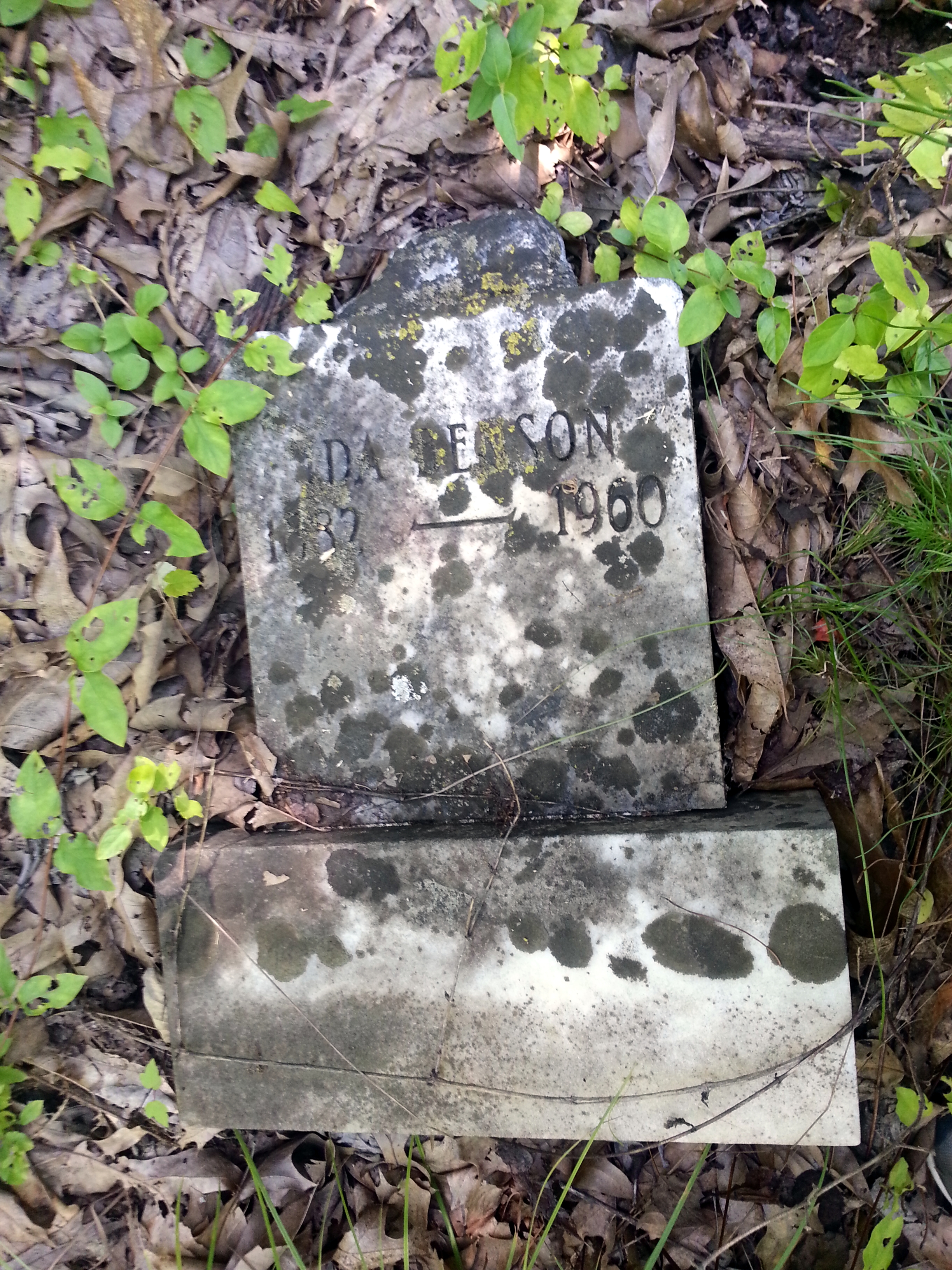
Ida Benson
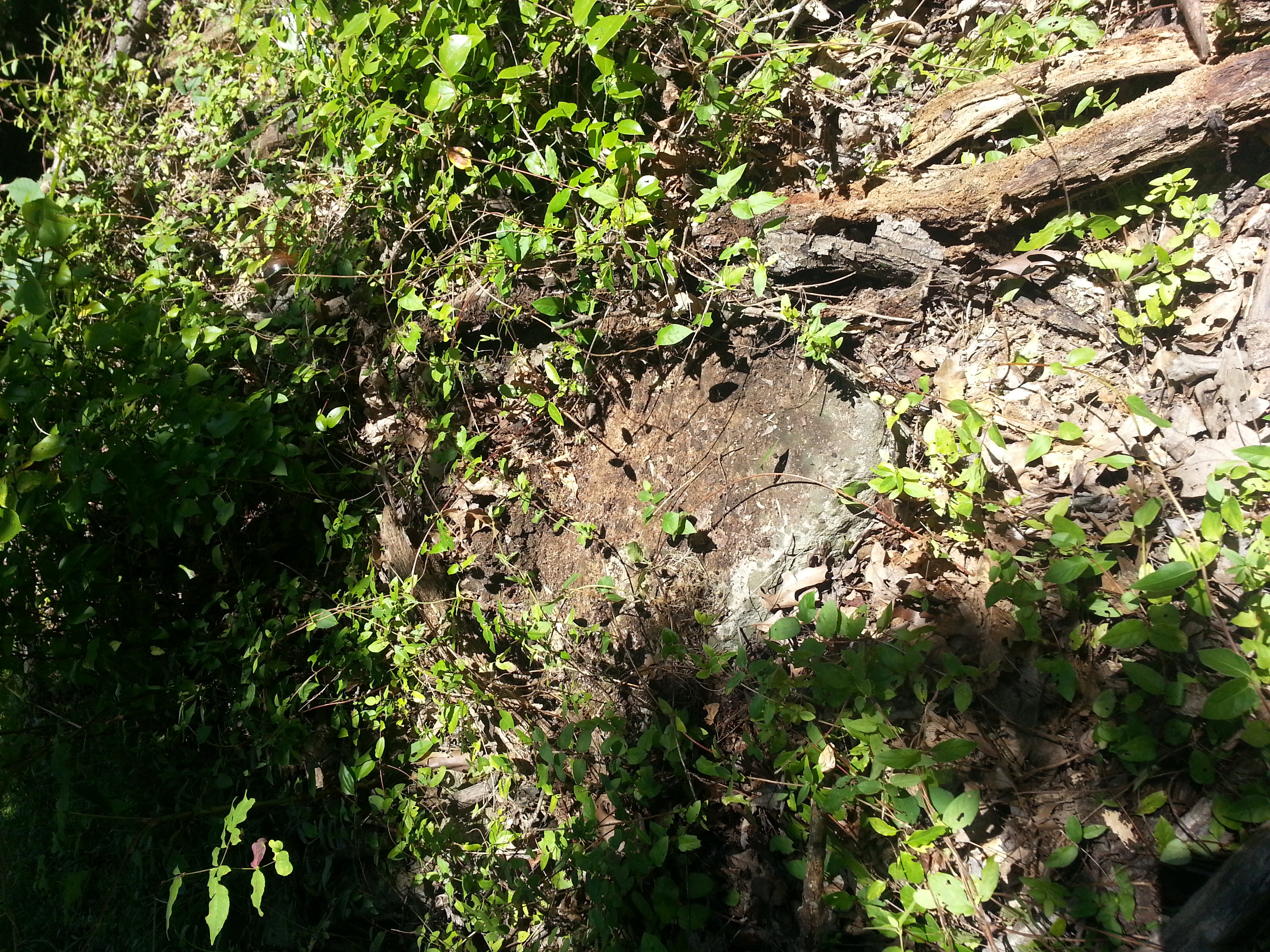
marker turned over, tree rotting on top
very tall tree laying next to grave marker
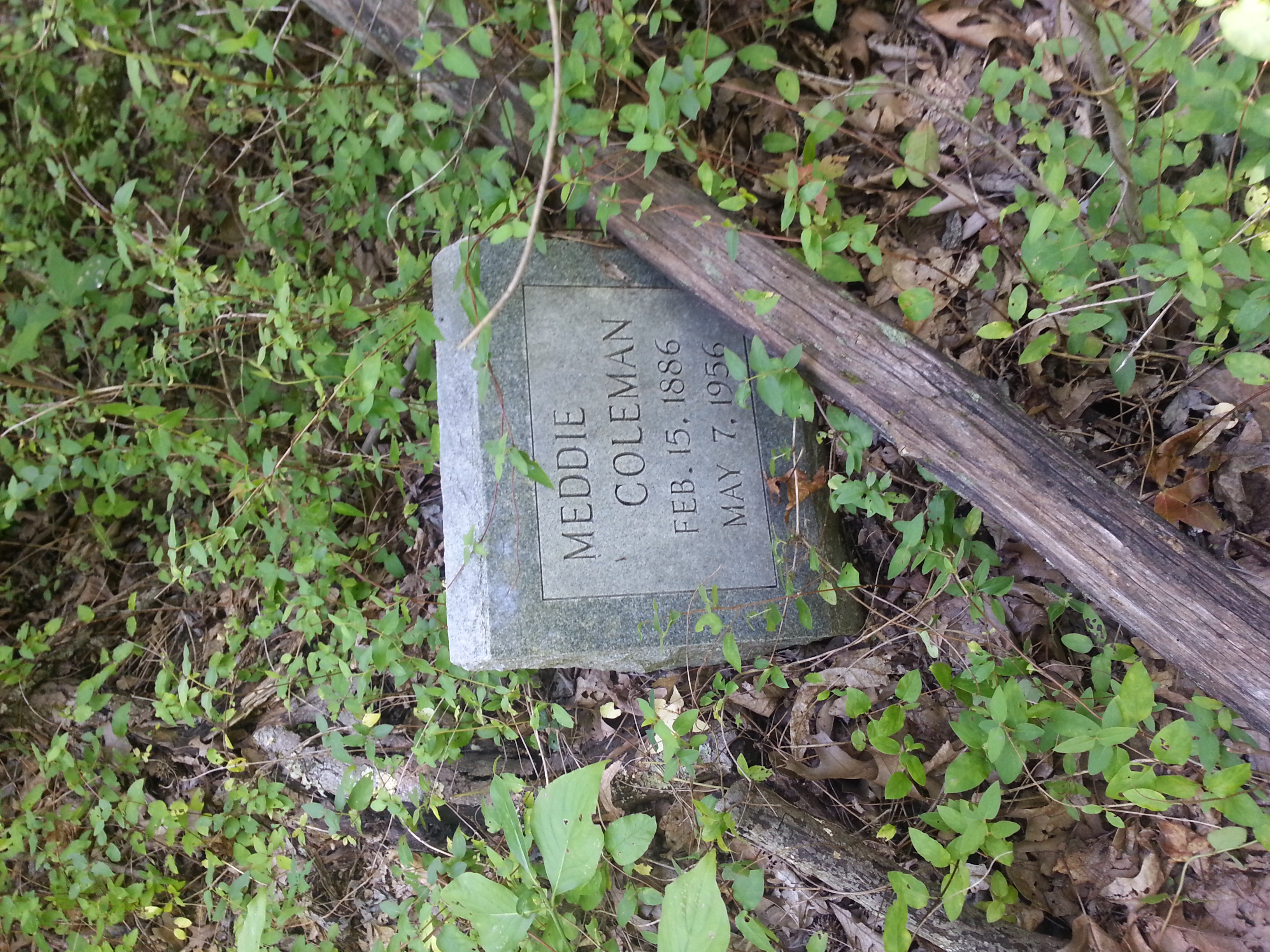
nice intact marker
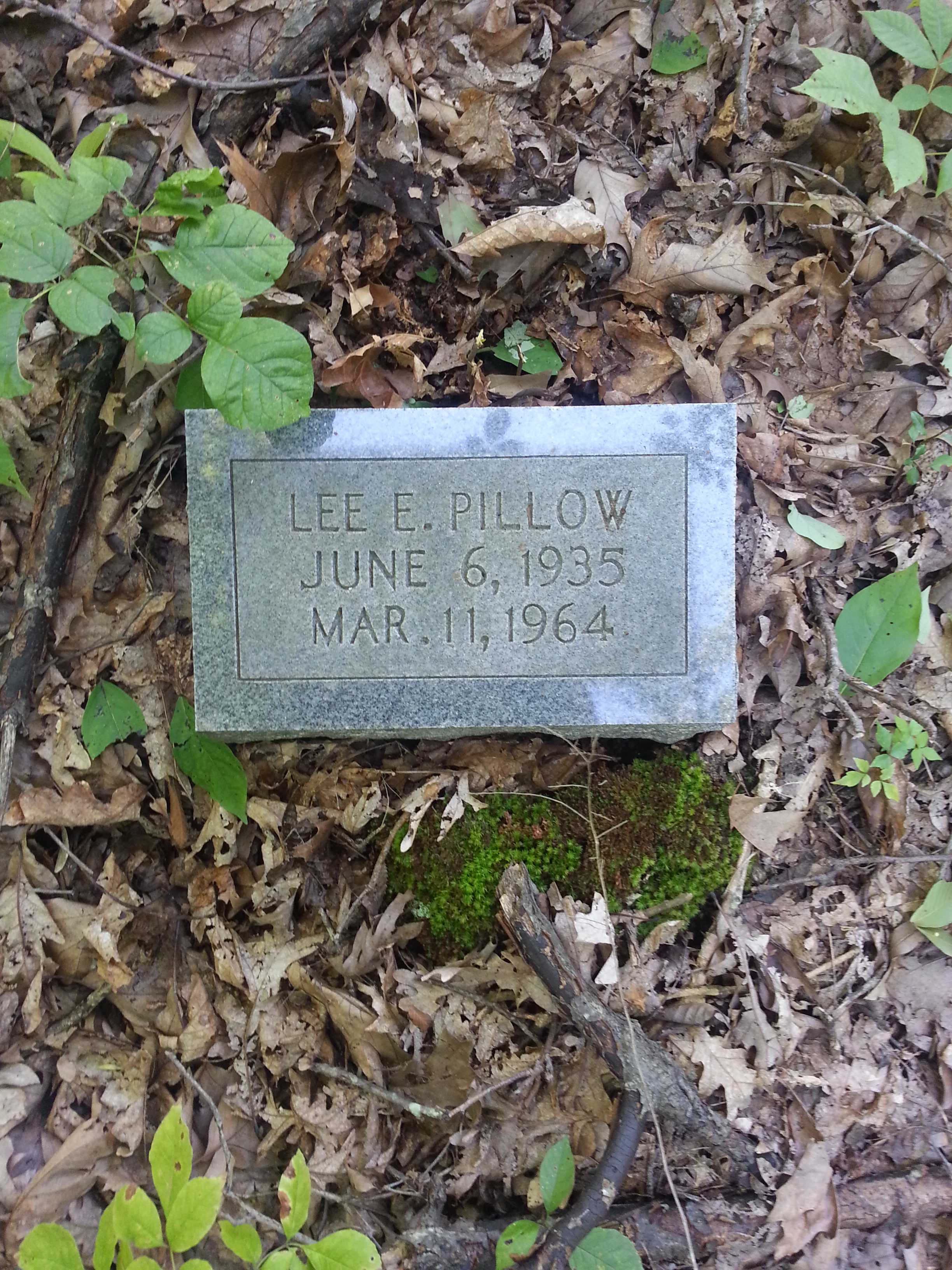
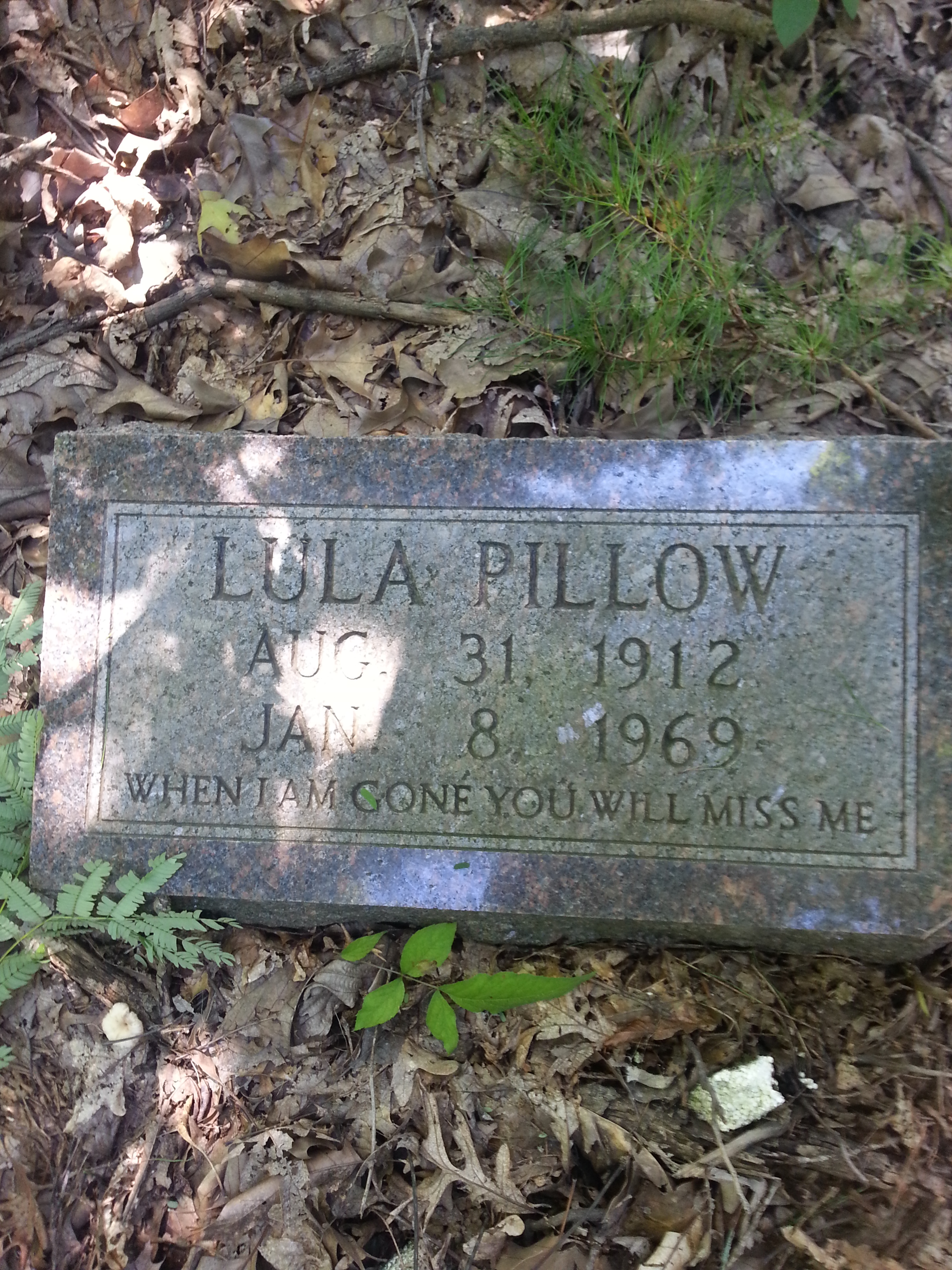
Third person in the Pillow Family

Another one from the Pillow family
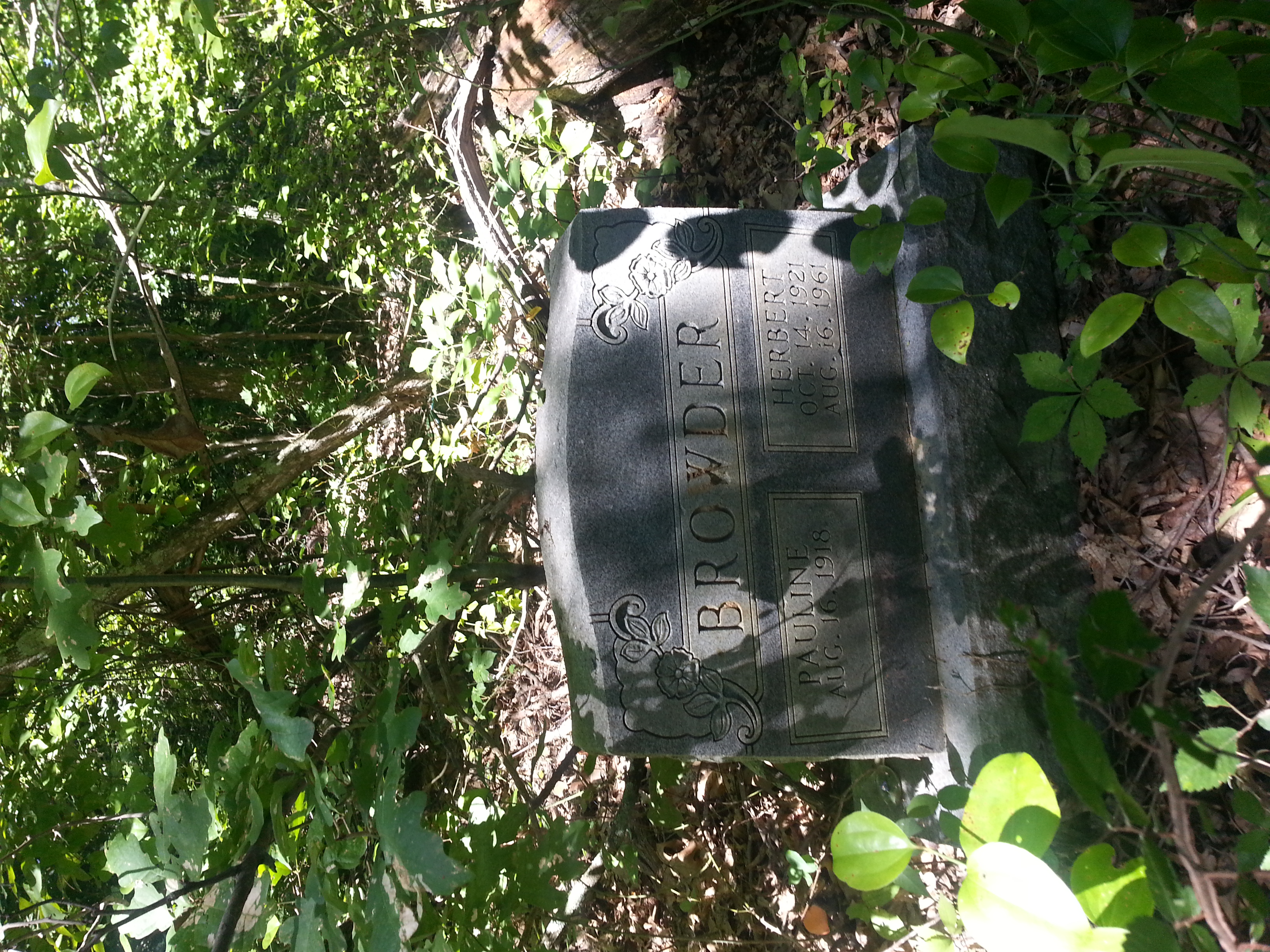
Herbert/ Pauline Browder grave marker

First stone we found
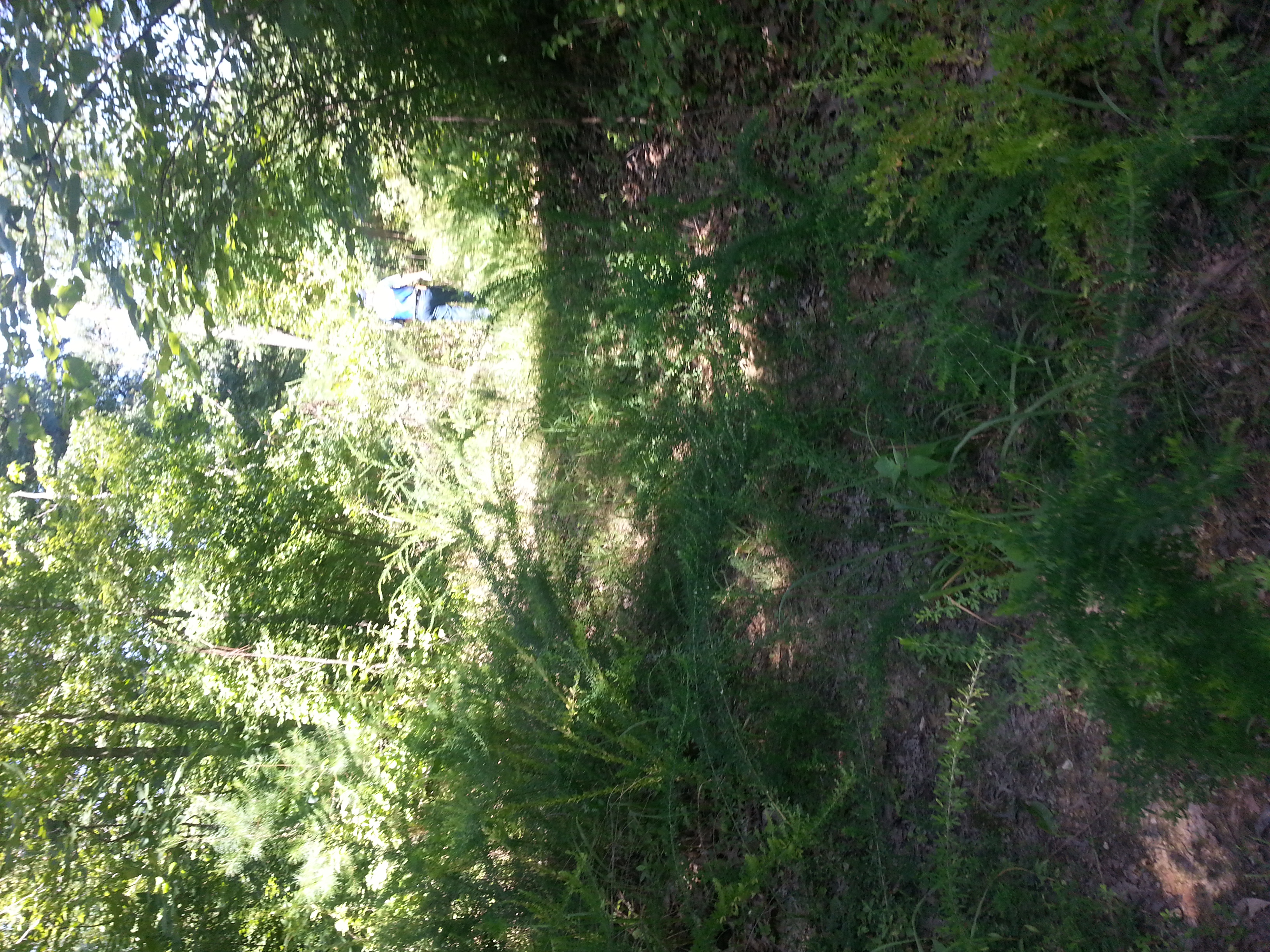
This was the BEST the "road" got.

CSX 3412 - 6/2/2016

P&L Train LG2
Topographic Map of Greenville Rd, White Plains, KY, USA
Find elevation by address:

Places near Greenville Rd, White Plains, KY, USA:
White Plains
1222 Mt Carmel-pond River Rd
1627 Cavanaugh Rd
132 Wilson Rd
Graham
S Elm St, Nortonville, KY, USA
Mortons Gap
KY-, Greenville, KY, USA
Hopkinsville Rd, Madisonville, KY, USA
Lile Lane
220 Cathlyn Dr
15 Sandcut Rd, Madisonville, KY, USA
Stringtown Rd, Sacramento, KY, USA
1550 Grapevine Rd
356 Henderson Ln
Johnson St, Earlington, KY, USA
Anne Dr, Madisonville, KY, USA
608 S Madison Ave
Madisonville
1392 Judge Chapel Rd
Recent Searches:
- Elevation of Corso Fratelli Cairoli, 35, Macerata MC, Italy
- Elevation of Tallevast Rd, Sarasota, FL, USA
- Elevation of 4th St E, Sonoma, CA, USA
- Elevation of Black Hollow Rd, Pennsdale, PA, USA
- Elevation of Oakland Ave, Williamsport, PA, USA
- Elevation of Pedrógão Grande, Portugal
- Elevation of Klee Dr, Martinsburg, WV, USA
- Elevation of Via Roma, Pieranica CR, Italy
- Elevation of Tavkvetili Mountain, Georgia
- Elevation of Hartfords Bluff Cir, Mt Pleasant, SC, USA