Elevation of Anne Dr, Madisonville, KY, USA
Location: United States > Kentucky > Hopkins County > Madisonville >
Longitude: -87.513483
Latitude: 37.2966728
Elevation: 134m / 440feet
Barometric Pressure: 100KPa
Elevation Map:
Satellite Map:
Related Photos:

View from the B&B

Same Scene August 2011

Hanson KY Sunset | 26 Dec 2014

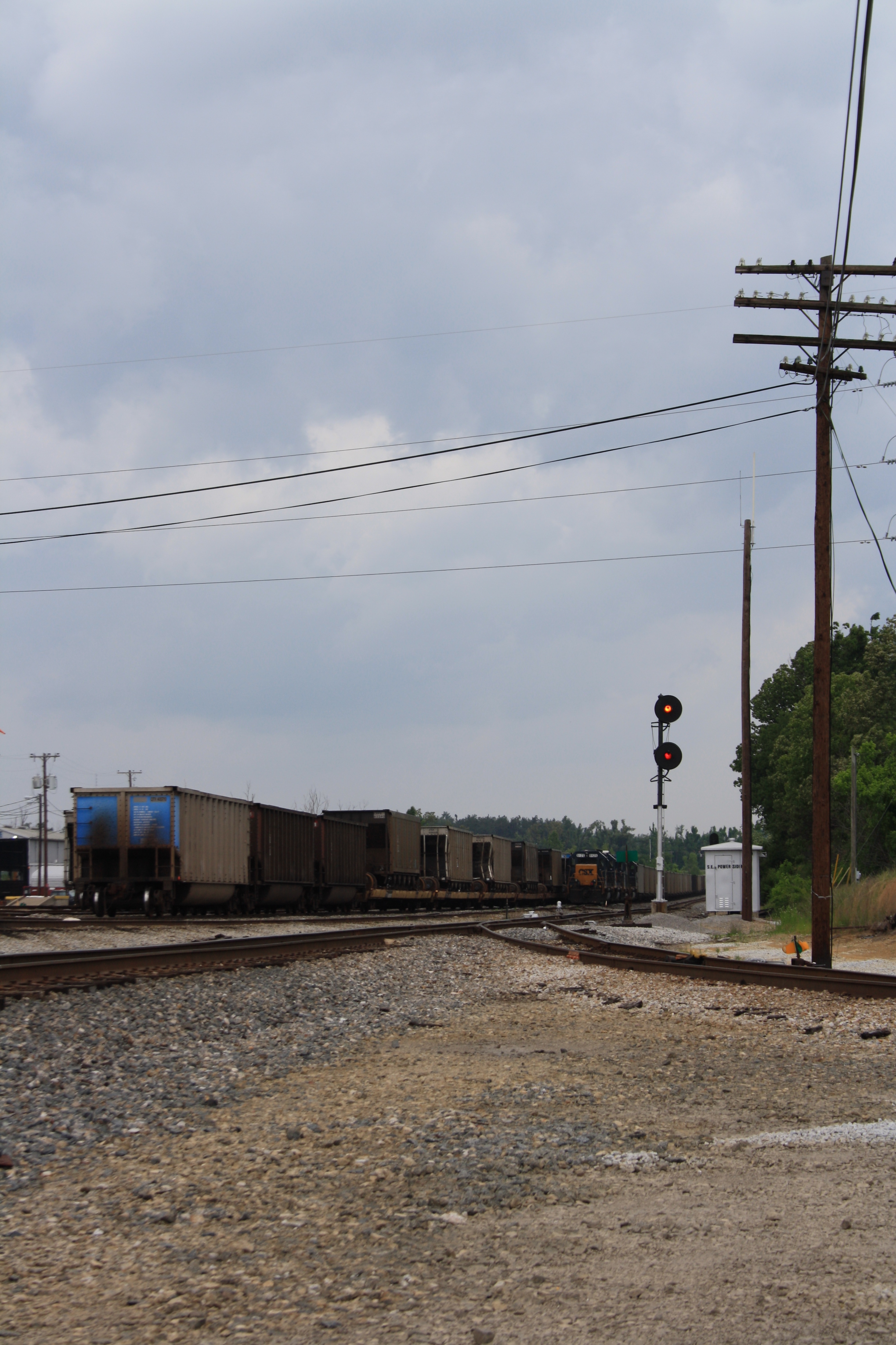
CSXT Q514, Hanson, KY
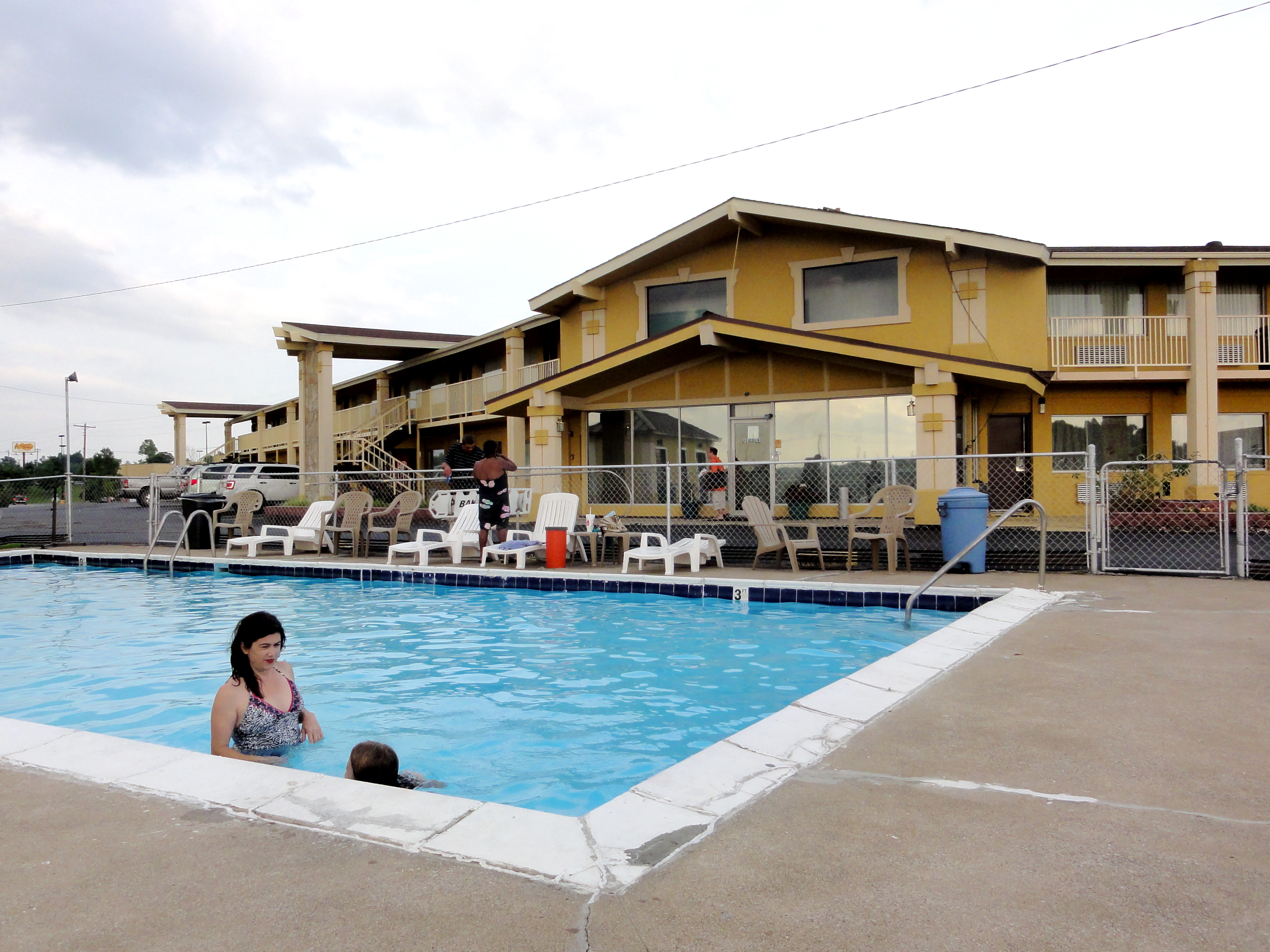
In the Pool at Big Spring Inn

Slaton farm
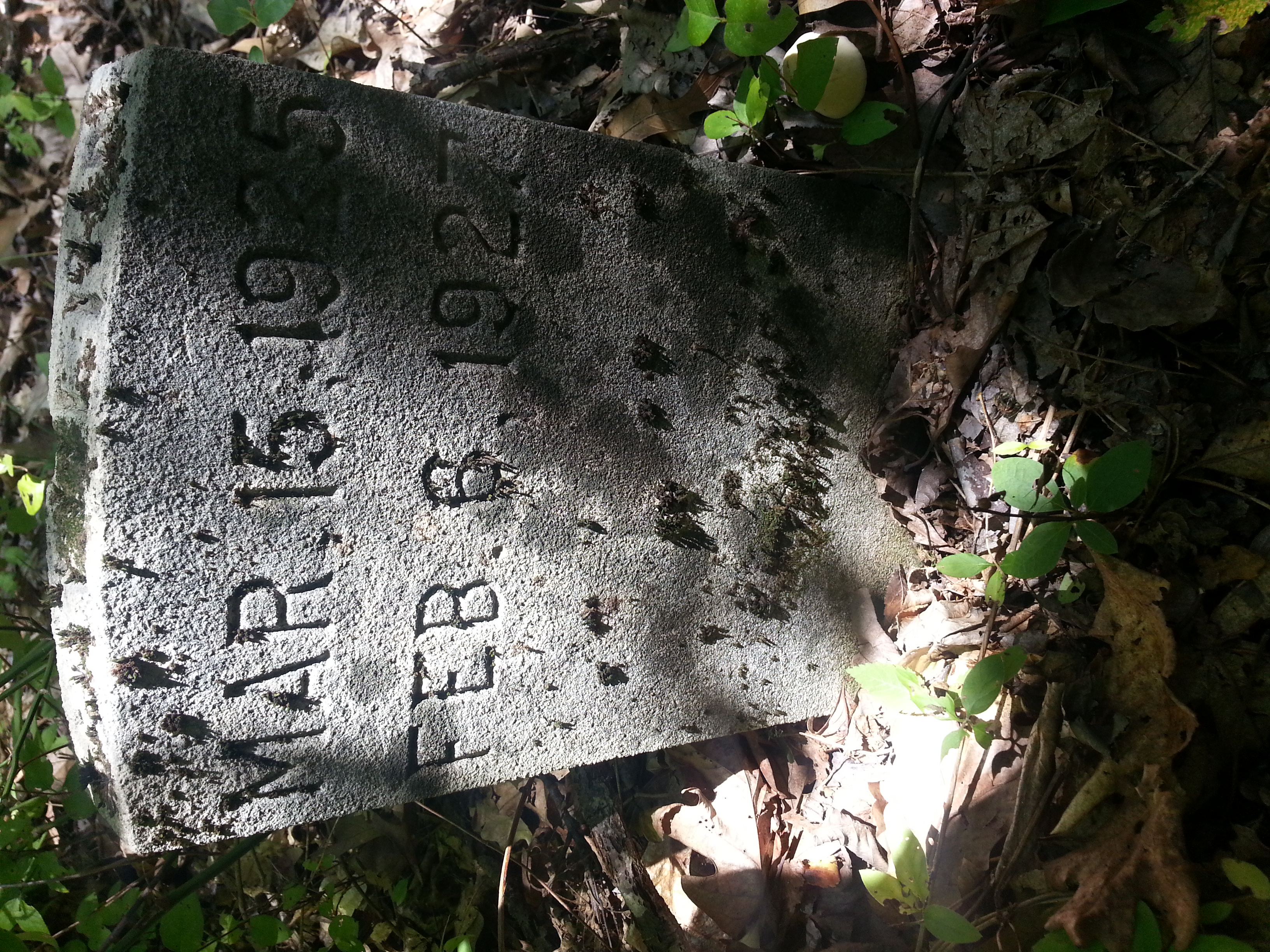
Cathrin 1 of 2

Sunset Over Denny's

CSX W103, Manitou,KY 12/17/2013
L&N Signals at CSX Yard, Madisonville KY 2010
Topographic Map of Anne Dr, Madisonville, KY, USA
Find elevation by address:

Places near Anne Dr, Madisonville, KY, USA:
Johnson St, Earlington, KY, USA
608 S Madison Ave
15 Sandcut Rd, Madisonville, KY, USA
South Madison Avenue
Madisonville
1515 Heather Pl
1515 Heather Pl
220 Cathlyn Dr
Nebo Rd, Madisonville, KY, USA
285 Carroll Gentry Rd
Hanson
20 Eastlawn Rd, Hanson, KY, USA
6525 Brown Rd
Stringtown Rd, Sacramento, KY, USA
130 W 2nd St
243 Ky-85
115 Main St
Sacramento
24 Ky-85
75 Main St
Recent Searches:
- Elevation of Corso Fratelli Cairoli, 35, Macerata MC, Italy
- Elevation of Tallevast Rd, Sarasota, FL, USA
- Elevation of 4th St E, Sonoma, CA, USA
- Elevation of Black Hollow Rd, Pennsdale, PA, USA
- Elevation of Oakland Ave, Williamsport, PA, USA
- Elevation of Pedrógão Grande, Portugal
- Elevation of Klee Dr, Martinsburg, WV, USA
- Elevation of Via Roma, Pieranica CR, Italy
- Elevation of Tavkvetili Mountain, Georgia
- Elevation of Hartfords Bluff Cir, Mt Pleasant, SC, USA