Elevation of Carroll Gentry Rd, Madisonville, KY, USA
Location: United States > Kentucky > Hopkins County > Madisonville >
Longitude: -87.461783
Latitude: 37.37096
Elevation: 138m / 453feet
Barometric Pressure: 100KPa
Elevation Map:
Satellite Map:
Related Photos:
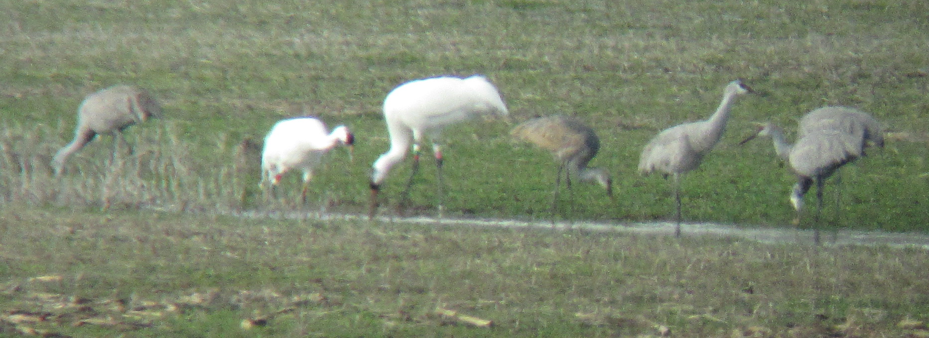
Sandhill Cranes & Whooping Cranes

View from the B&B

Same Scene August 2011

Hanson KY Sunset | 26 Dec 2014

CSXT Q514, Hanson, KY
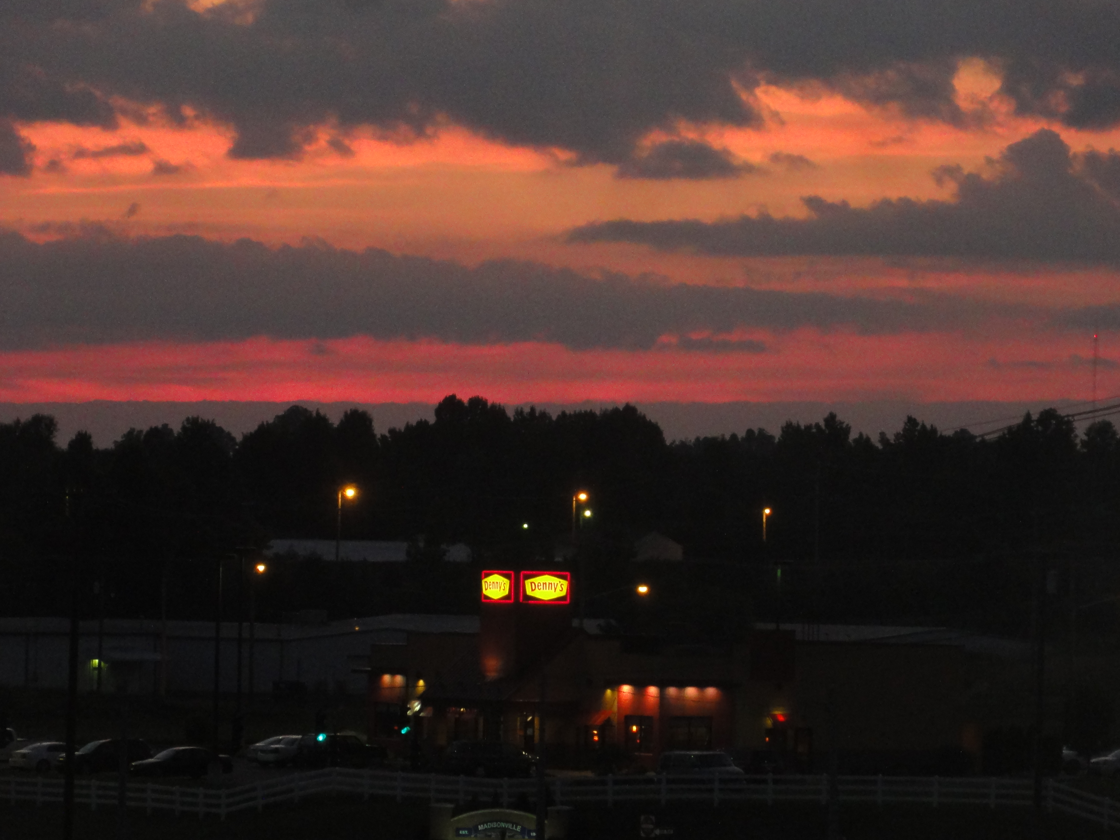
Sunset Over Denny's
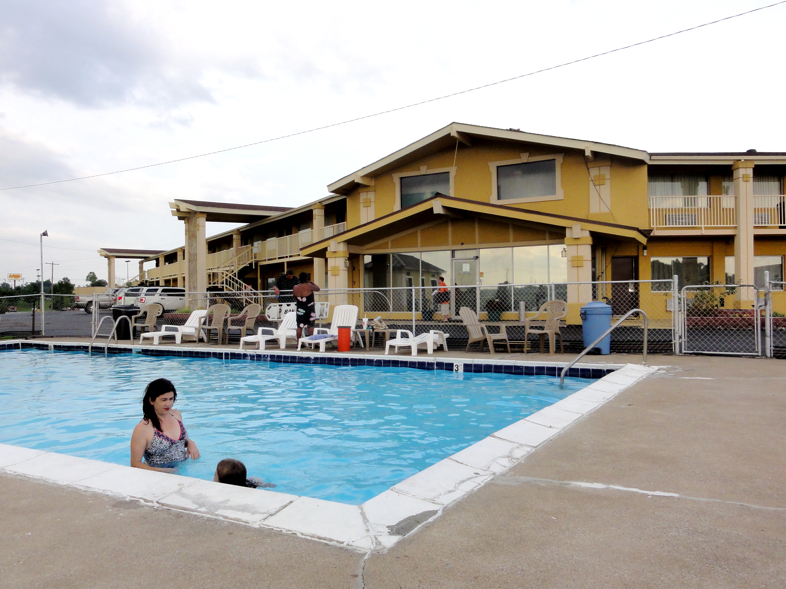
In the Pool at Big Spring Inn
Cathrin 1 of 2

CSX W103, Manitou,KY 12/17/2013
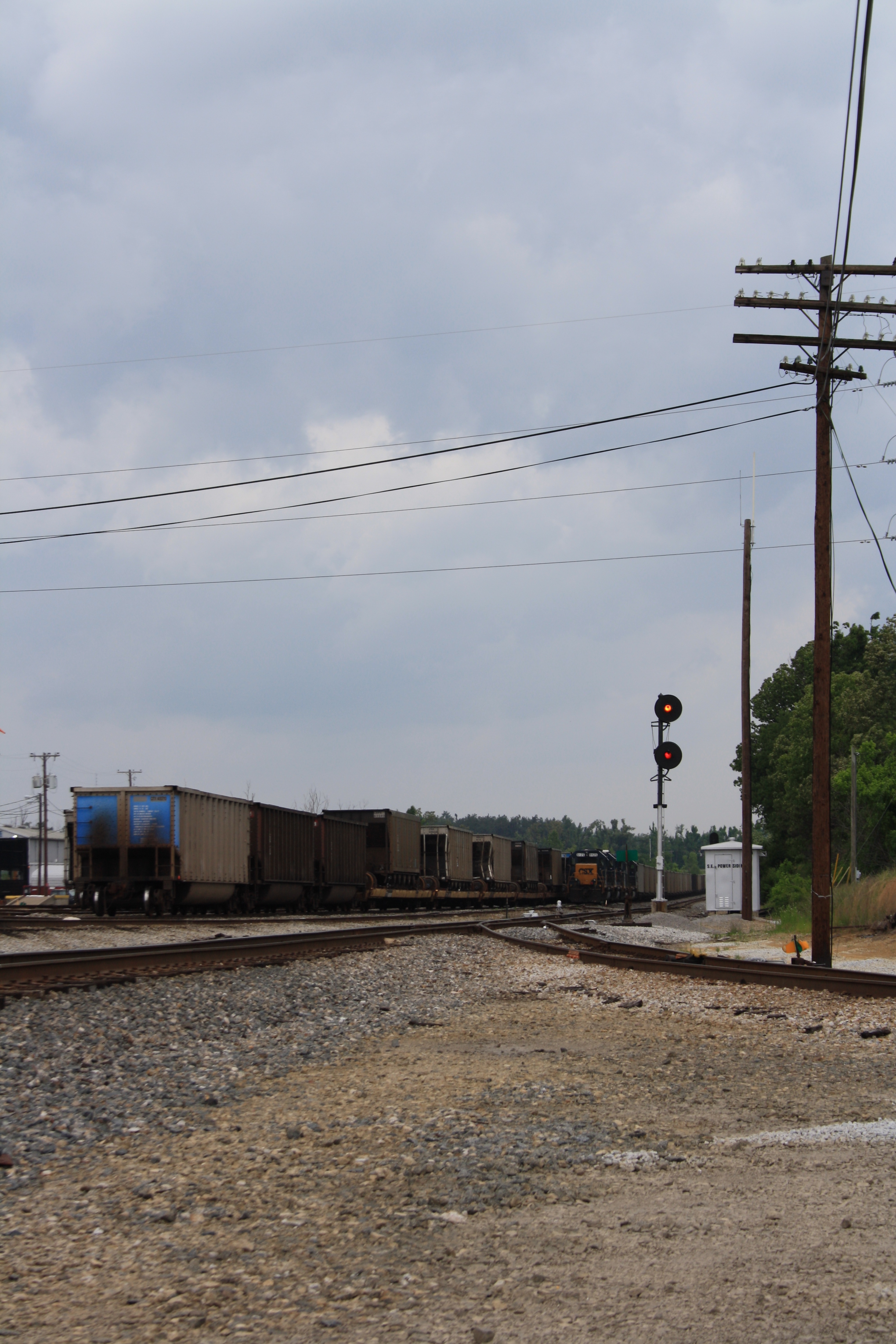
L&N Signals at CSX Yard, Madisonville KY 2010
Topographic Map of Carroll Gentry Rd, Madisonville, KY, USA
Find elevation by address:

Places near Carroll Gentry Rd, Madisonville, KY, USA:
1515 Heather Pl
1515 Heather Pl
220 Cathlyn Dr
Hanson
20 Eastlawn Rd, Hanson, KY, USA
6525 Brown Rd
Madisonville
South Madison Avenue
608 S Madison Ave
15 Sandcut Rd, Madisonville, KY, USA
Nebo Rd, Madisonville, KY, USA
Anne Dr, Madisonville, KY, USA
Johnson St, Earlington, KY, USA
Stringtown Rd, Sacramento, KY, USA
130 W 2nd St
243 Ky-85
115 Main St
Sacramento
75 Main St
24 Ky-85
Recent Searches:
- Elevation of Corso Fratelli Cairoli, 35, Macerata MC, Italy
- Elevation of Tallevast Rd, Sarasota, FL, USA
- Elevation of 4th St E, Sonoma, CA, USA
- Elevation of Black Hollow Rd, Pennsdale, PA, USA
- Elevation of Oakland Ave, Williamsport, PA, USA
- Elevation of Pedrógão Grande, Portugal
- Elevation of Klee Dr, Martinsburg, WV, USA
- Elevation of Via Roma, Pieranica CR, Italy
- Elevation of Tavkvetili Mountain, Georgia
- Elevation of Hartfords Bluff Cir, Mt Pleasant, SC, USA