Elevation of Mt Carmel-Pond River Rd, White Plains, KY, USA
Location: United States > Kentucky > White Plains >
Longitude: -87.356286
Latitude: 37.1696797
Elevation: 127m / 417feet
Barometric Pressure: 100KPa
Elevation Map:
Satellite Map:
Related Photos:

lil' pumpkins

Slaton farm

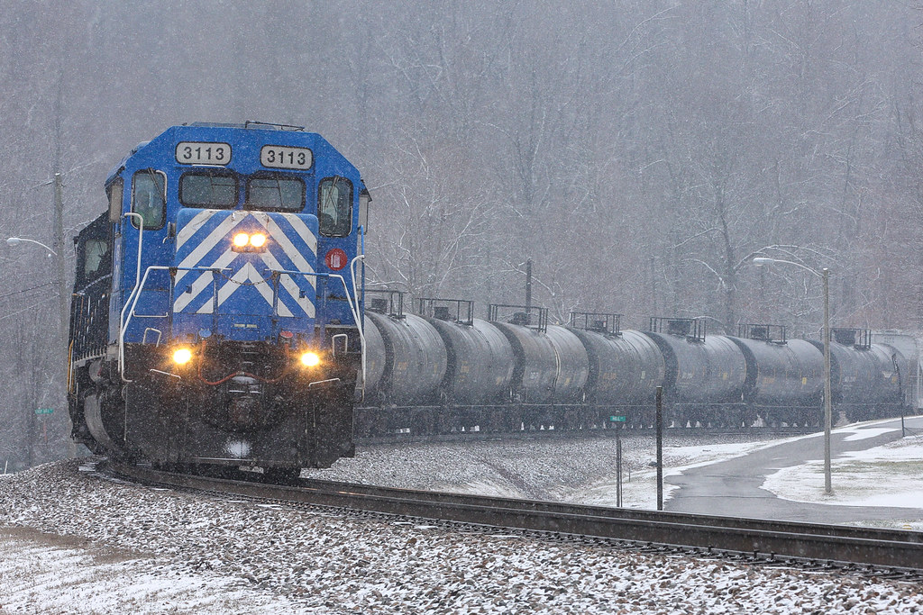
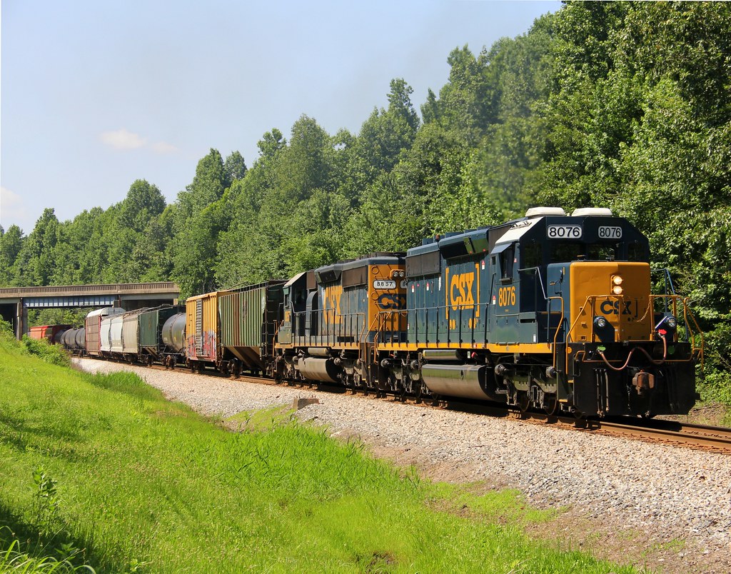
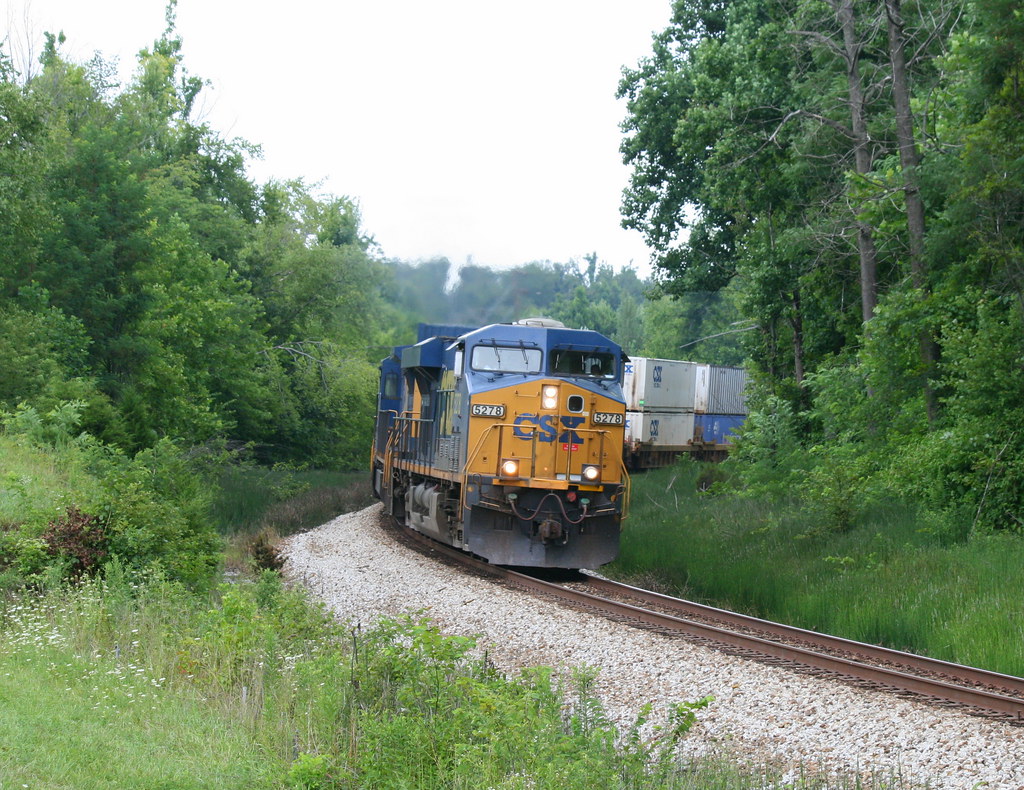
CSX 3412 - 6/2/2016

Snapseed photo edits via iPhone 6
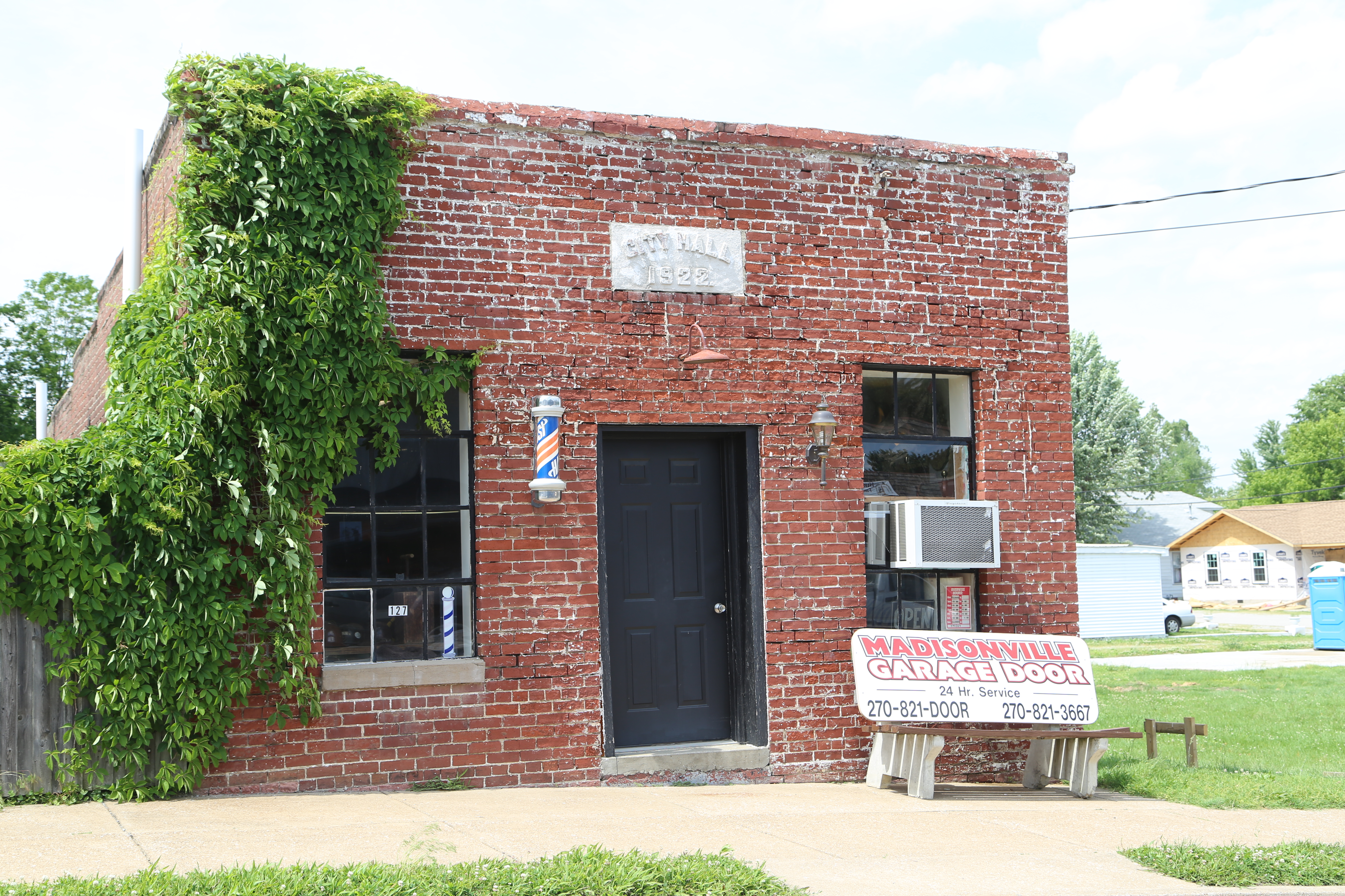
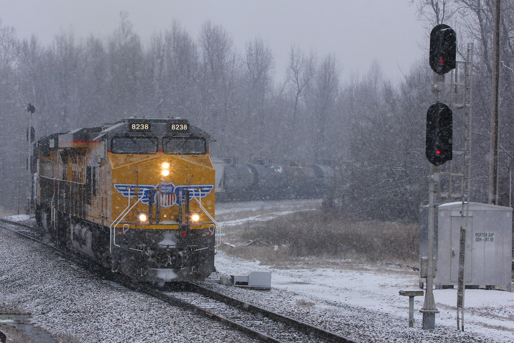
Mortons Gap Kentucky, Hopkins County KY
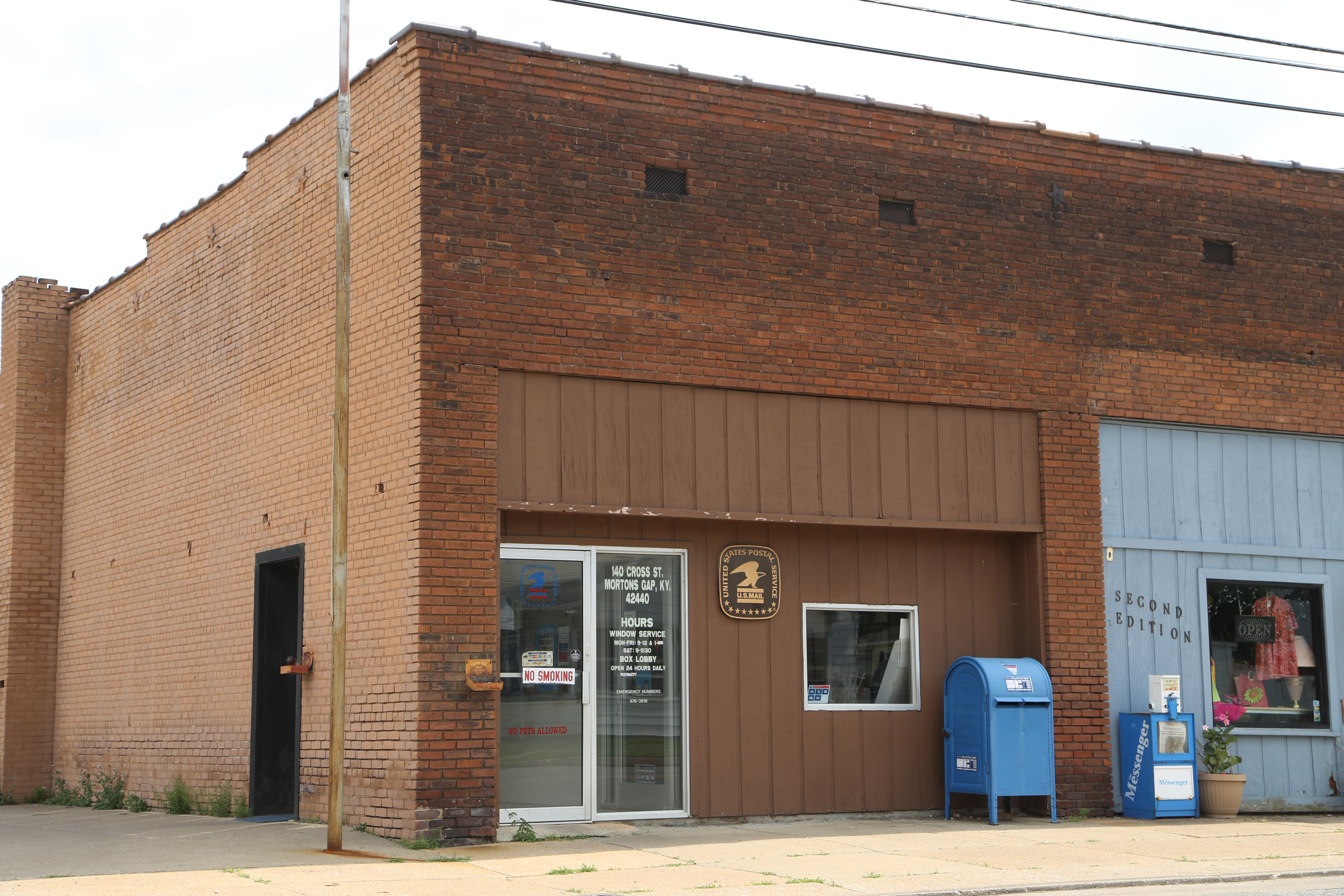
Mortons Gap Kentucky, Post Office, 42440, Hopkins County KY
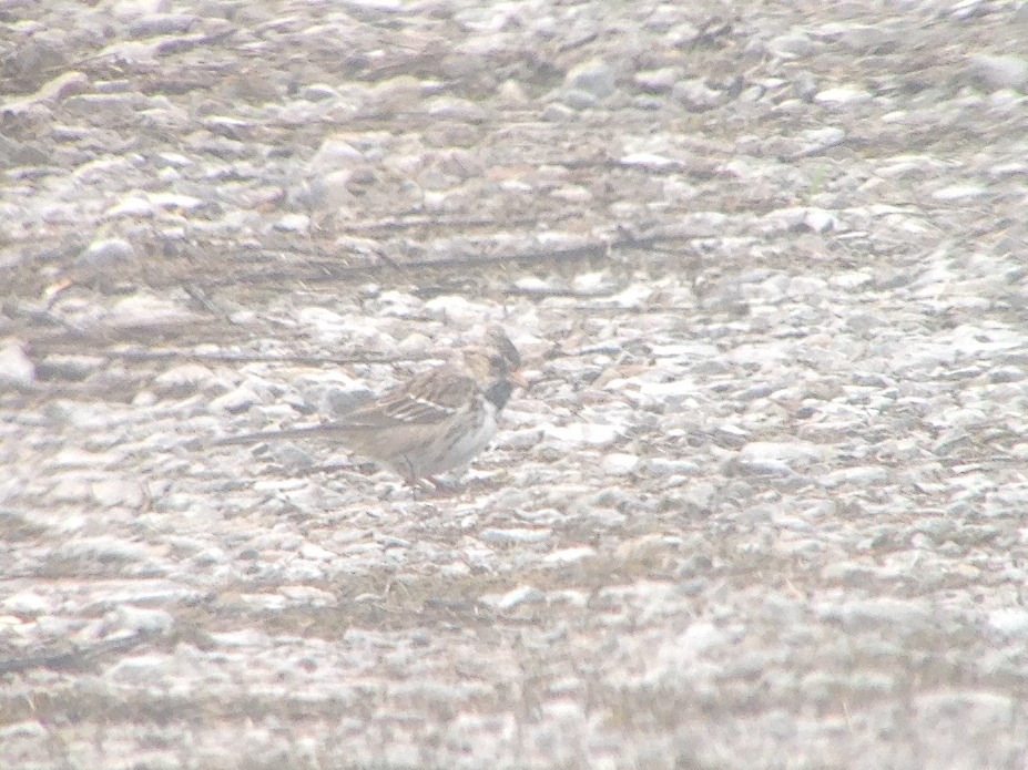
Harris's Sparrow
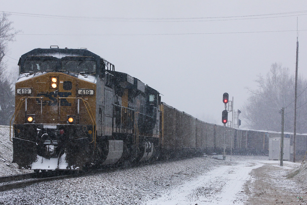
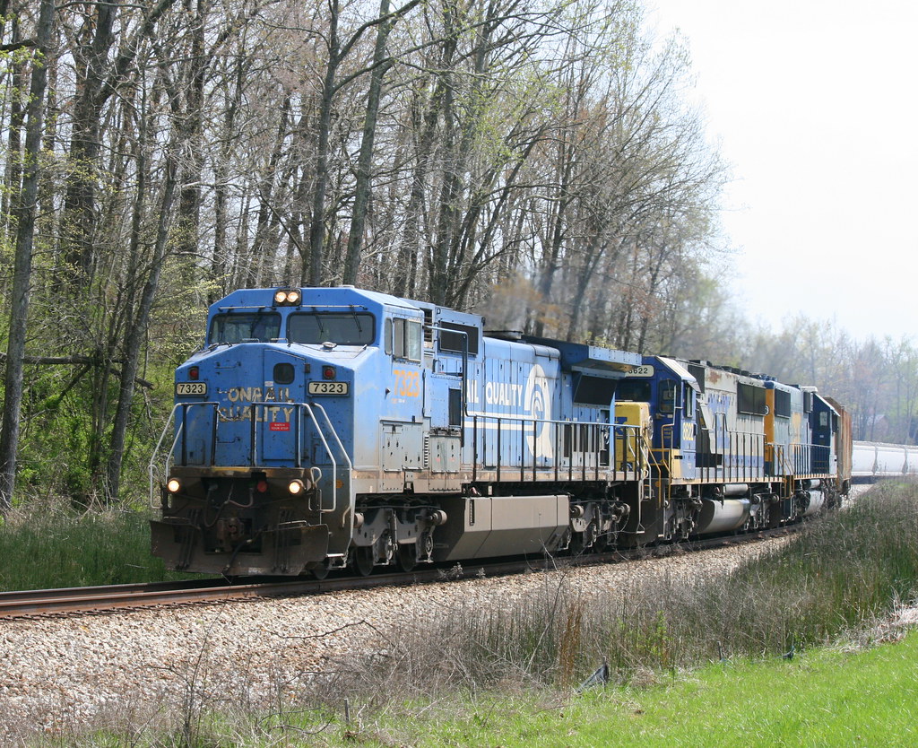
CSX N057, Mortons Gap,KY 1/16/2015
CSX Q645, Mortons Gap,KY 1/15/2015
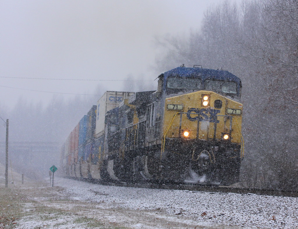
CSX Q028, Mortons Gap,KY 1/15/2015
CSX Q596, Mortons Gap,KY 1/15/2015
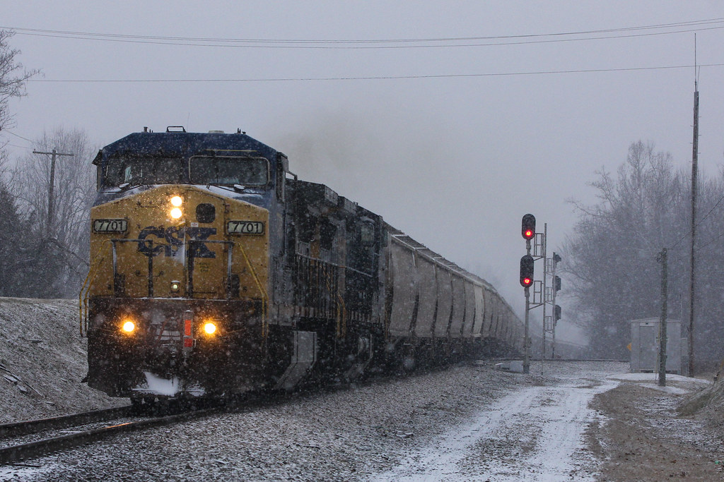
CSX G343, Mortons Gap,KY 1/15/2015

Working the Corn
CSX Q596, Mortons Gap,KY 6/16/2014
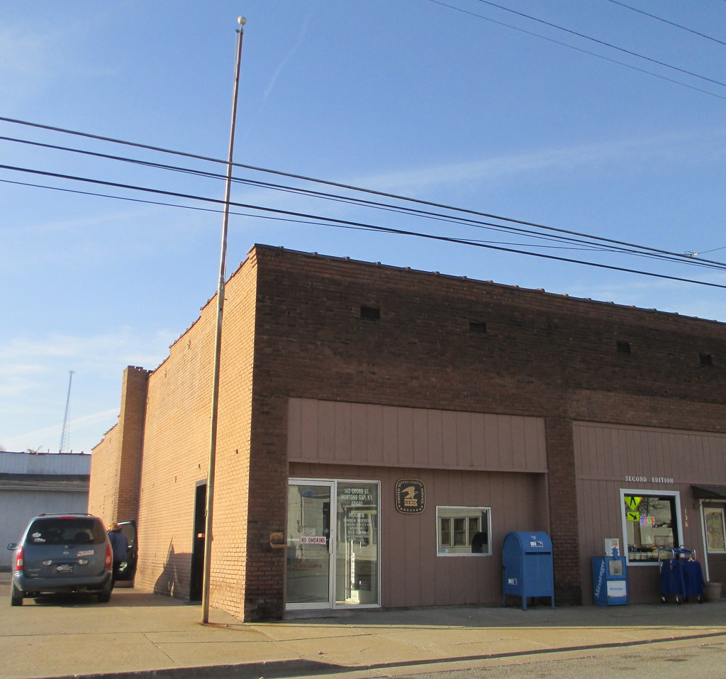
Post Office 42440 (Mortons Gap, Kentucky)
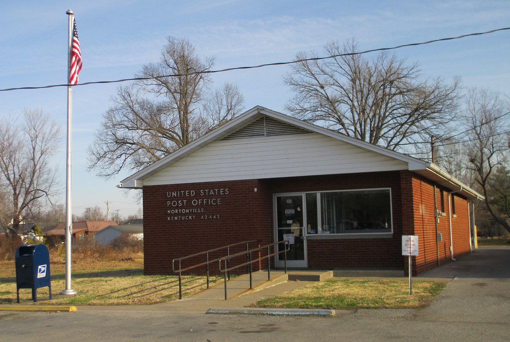
Post Office 42442 (Nortonville, Kentucky)
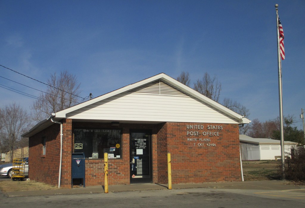
Post Office 42464 (White Plains, Kentucky)
CSX Q648, Nortonville,KY 4/5/2010
CSX Q121, Nortonville,KY 7/5/2010

Muhlenberg County Courthouse

Headed #home after a GREAT visit!! #Missouri #Kentucky #roadtrip #travel #vacation #family #celebrations #0
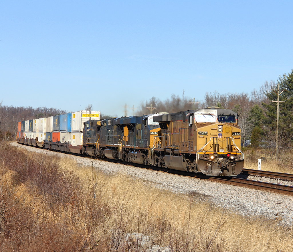
CSX Q029, Romney Siding, Nortonville,KY 12/18/2013
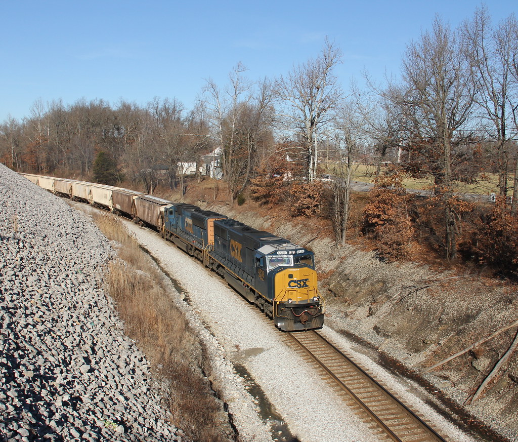
CSX G238, Nortonville,KY 12/18/2013
Topographic Map of Mt Carmel-Pond River Rd, White Plains, KY, USA
Find elevation by address:

Places near Mt Carmel-Pond River Rd, White Plains, KY, USA:
White Plains
Greenville Rd, White Plains, KY, USA
1627 Cavanaugh Rd
Lile Lane
132 Wilson Rd
Graham
KY-, Greenville, KY, USA
S Elm St, Nortonville, KY, USA
Mortons Gap
1550 Grapevine Rd
1392 Judge Chapel Rd
1504-1502 Judge Chapel Rd
Judges Chapel Road
1500 Judge Chapel Rd
6550 Crofton-fruit Hill Rd
Hopkinsville Rd, Madisonville, KY, USA
14975 N Old Madisonville Rd
15776 N Old Madisonville Rd
15776 Old Madisonville Rd
N Madisonville St, Crofton, KY, USA
Recent Searches:
- Elevation of Corso Fratelli Cairoli, 35, Macerata MC, Italy
- Elevation of Tallevast Rd, Sarasota, FL, USA
- Elevation of 4th St E, Sonoma, CA, USA
- Elevation of Black Hollow Rd, Pennsdale, PA, USA
- Elevation of Oakland Ave, Williamsport, PA, USA
- Elevation of Pedrógão Grande, Portugal
- Elevation of Klee Dr, Martinsburg, WV, USA
- Elevation of Via Roma, Pieranica CR, Italy
- Elevation of Tavkvetili Mountain, Georgia
- Elevation of Hartfords Bluff Cir, Mt Pleasant, SC, USA