Elevation of Greene Rd, Paragould, AR, USA
Location: United States > Arkansas > Greene County > Spring Grove Township > Paragould >
Longitude: -90.474819
Latitude: 36.0962031
Elevation: 84m / 276feet
Barometric Pressure: 100KPa
Elevation Map:
Satellite Map:
Related Photos:
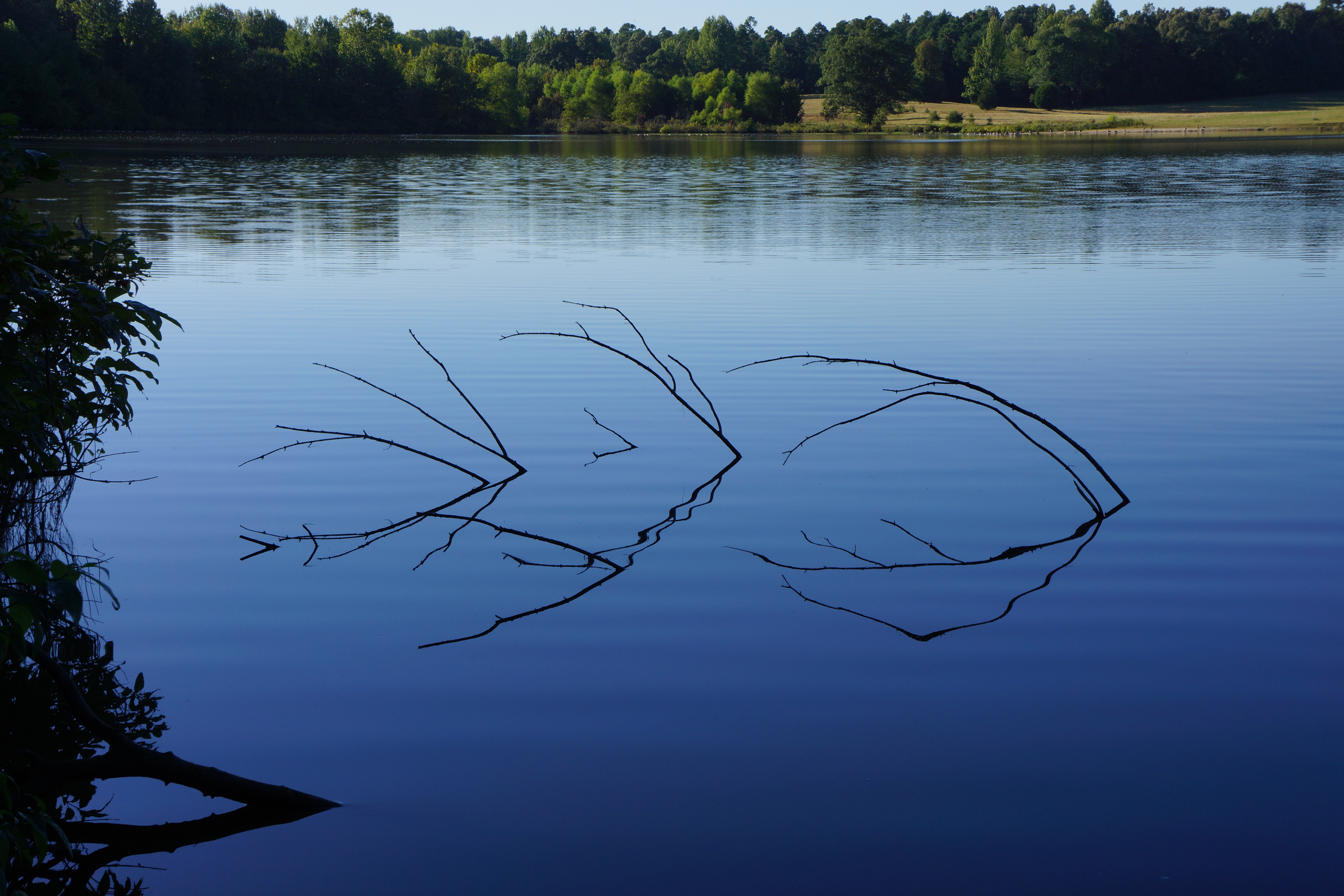
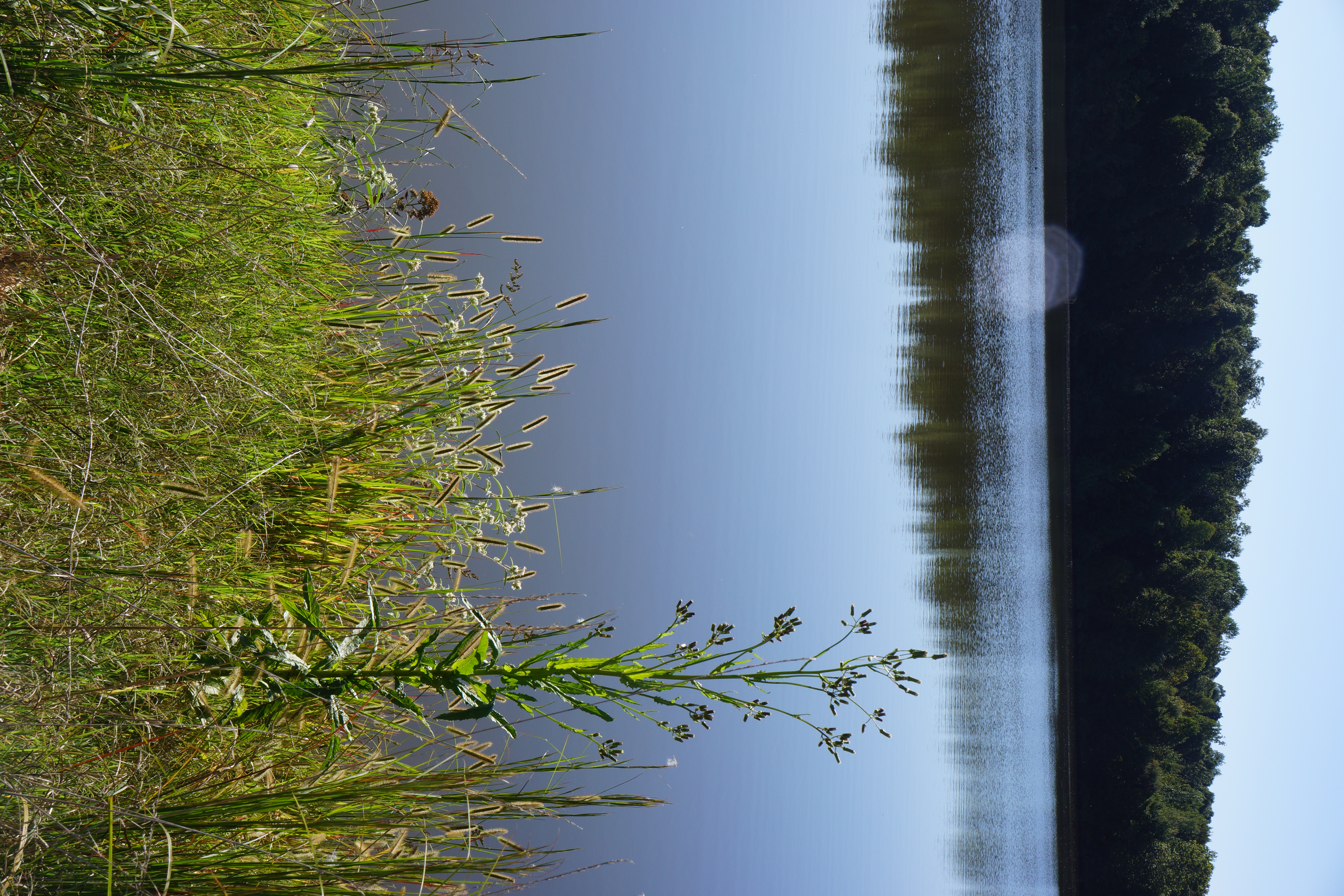
View across the lake
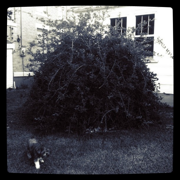
Big bush || #zoepup #dome #bush...
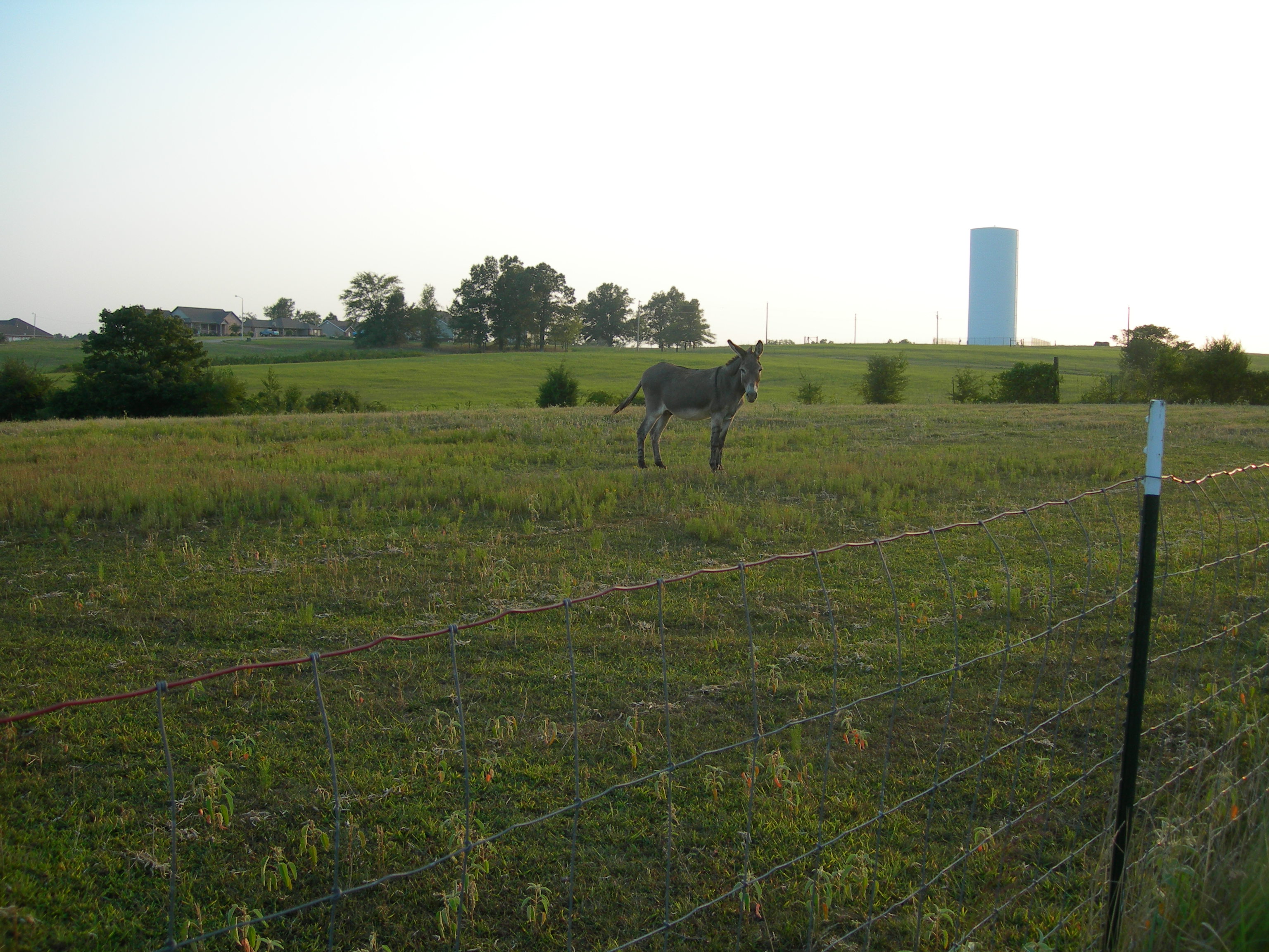
014 John, my grandfather's faithful old mule

013 John
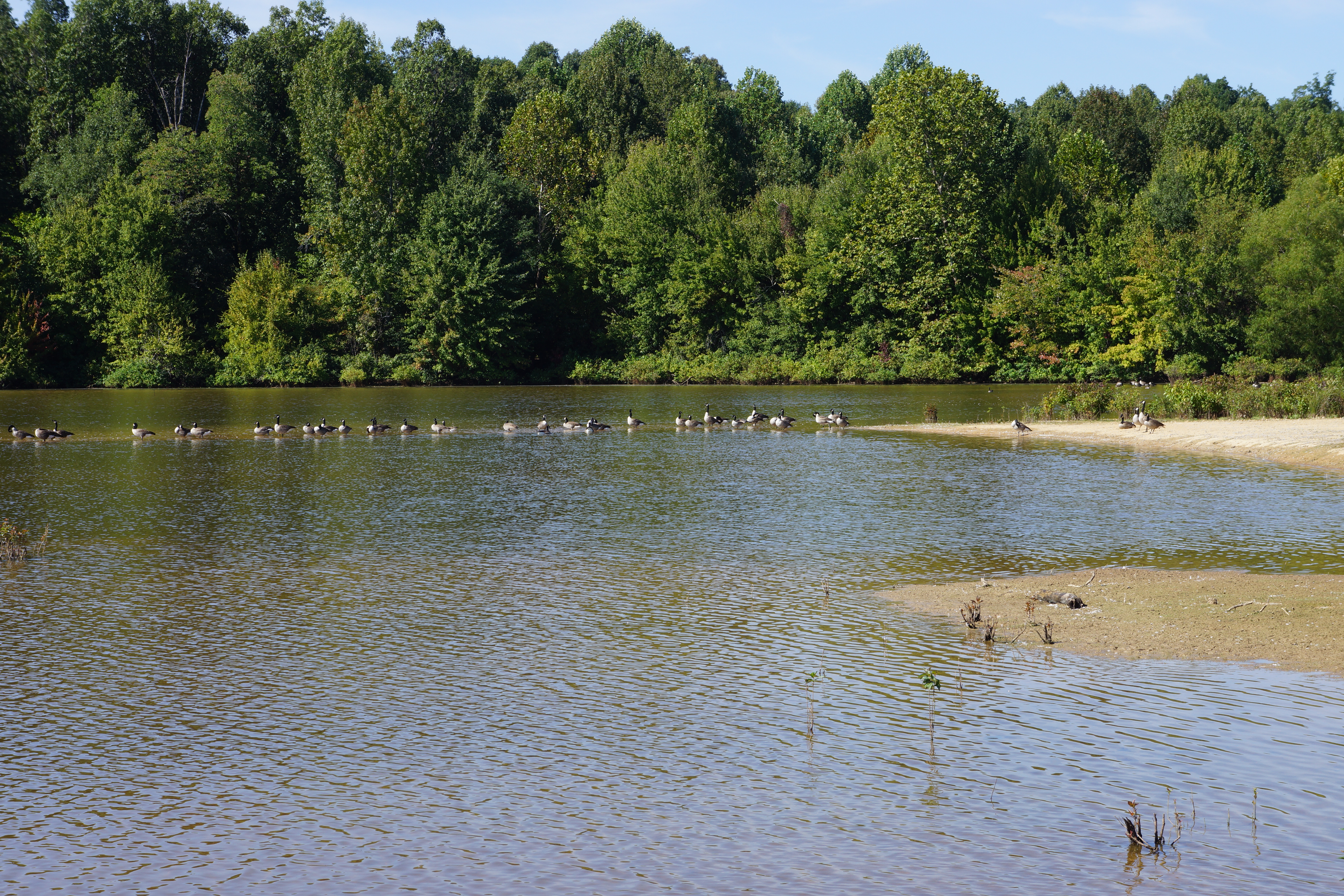
Geese on the sandbar, Meadow Lake
Erechtites hieracifolia (American burnweed) and grass
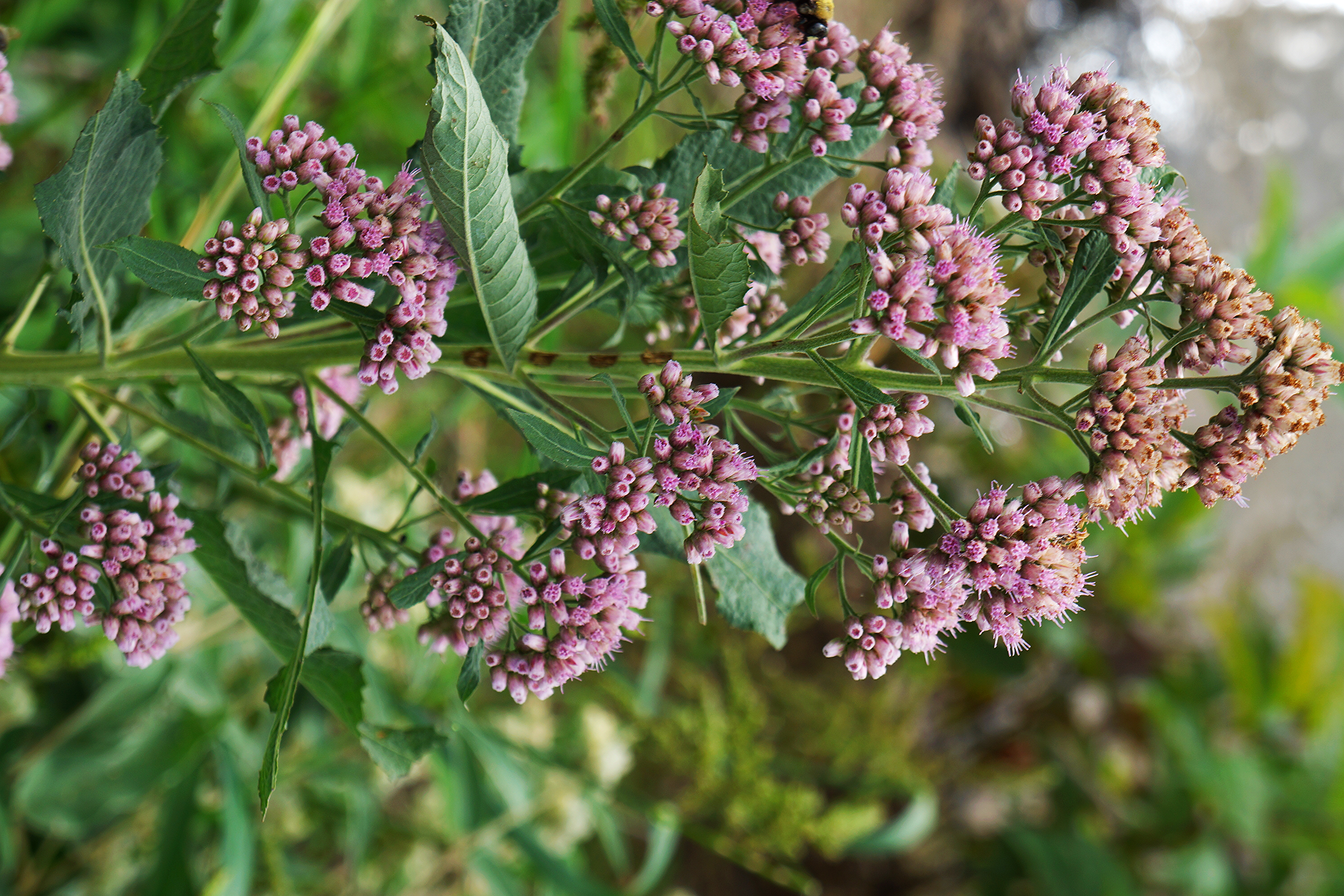
Pluchea camphorata (camphorweed)
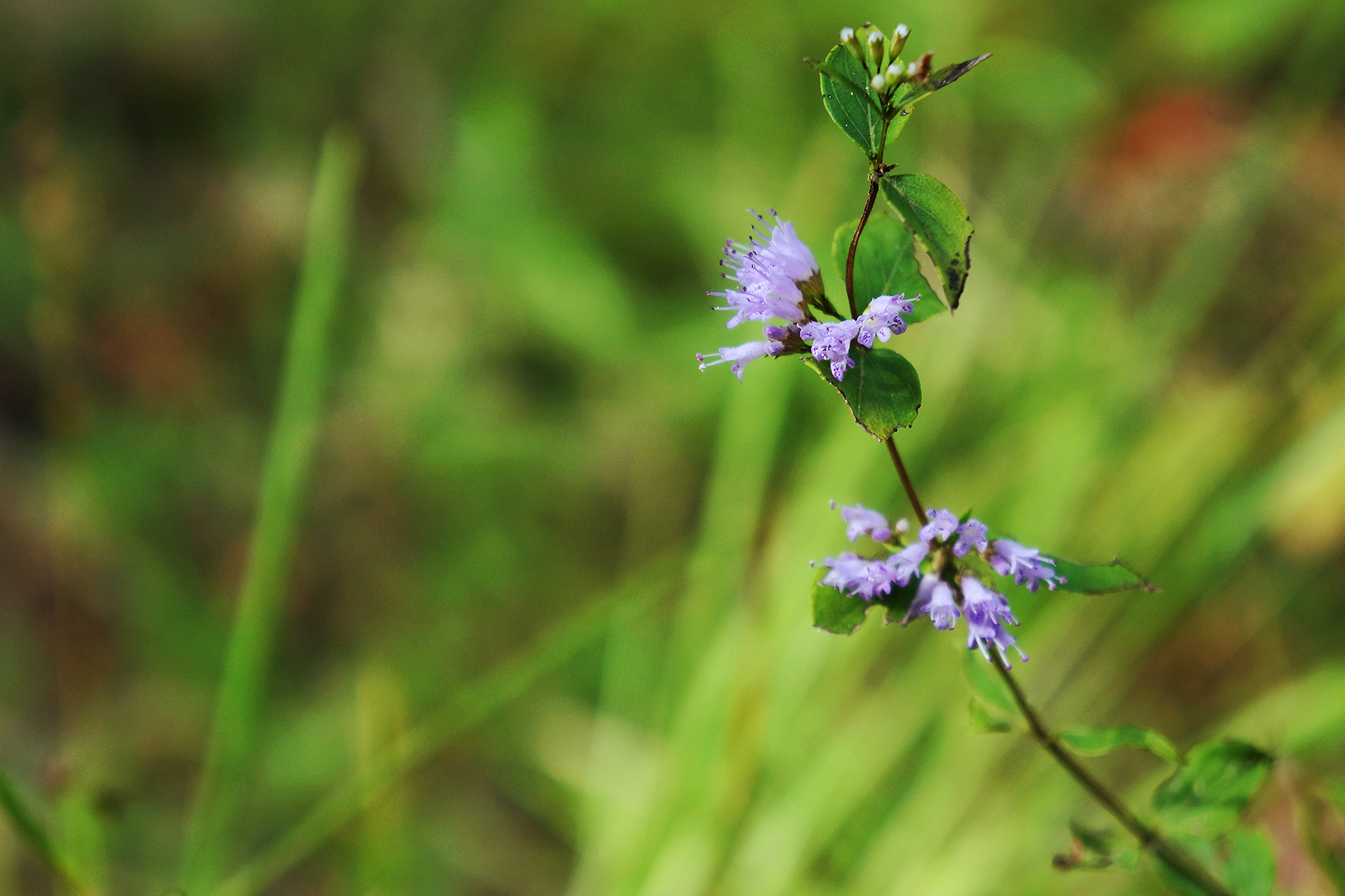
Cunila origanoides (dittany)
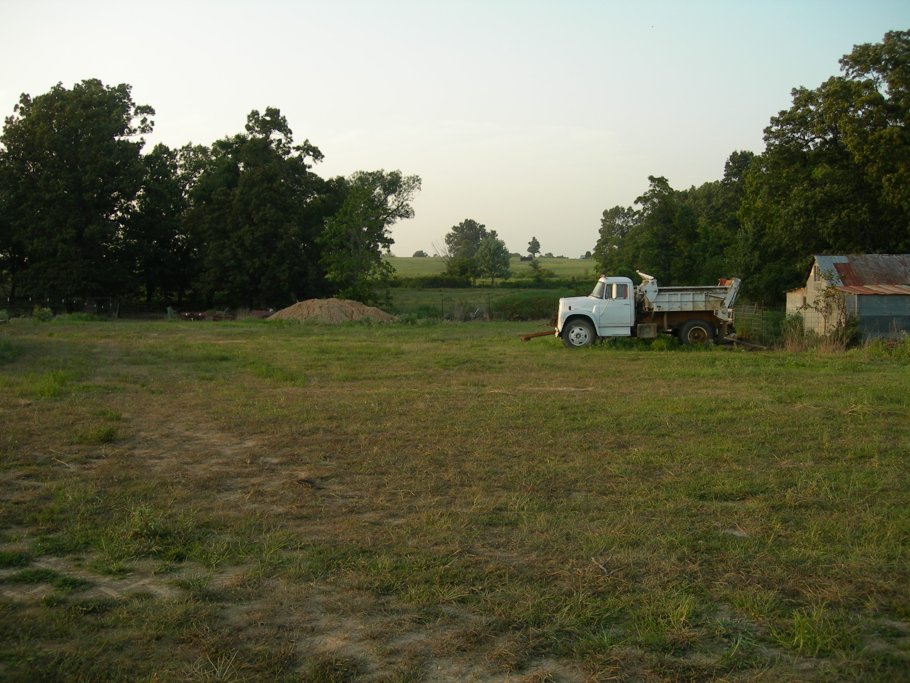
011 Across the fields
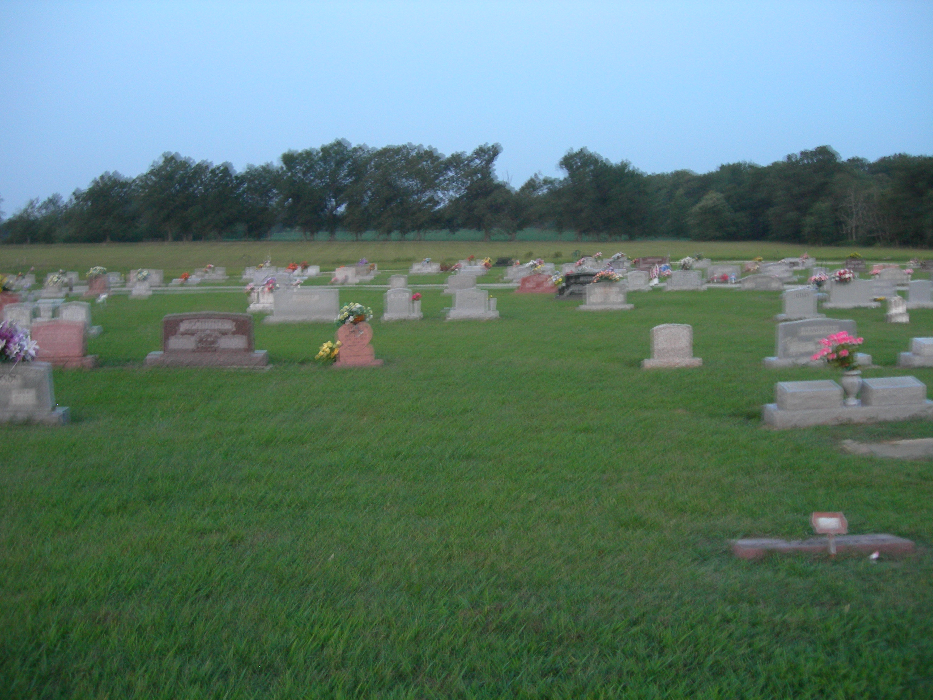
HC Harvey's Chapel Cemetery 2
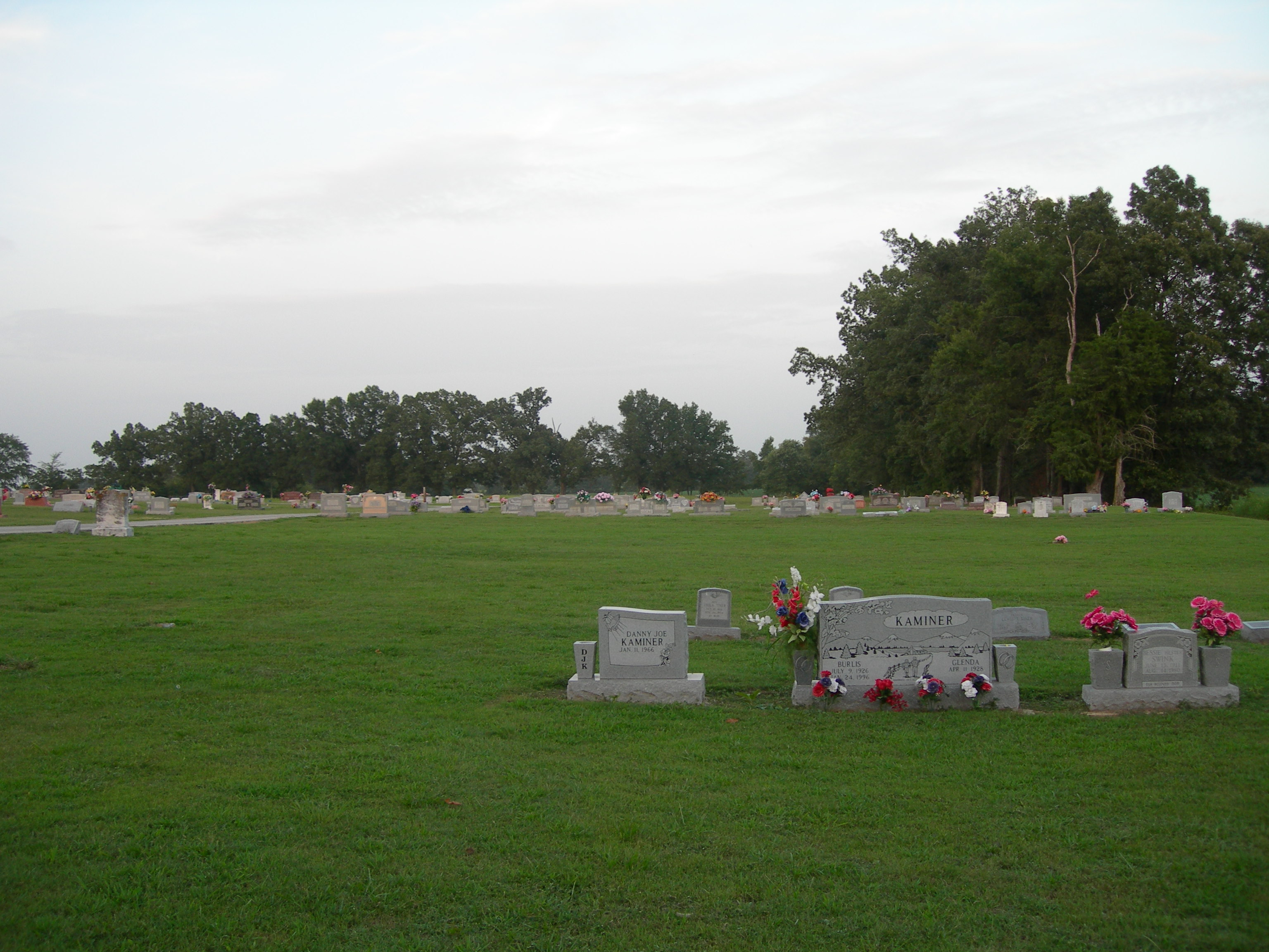
HC Harvey's Chapel Cemetery 6
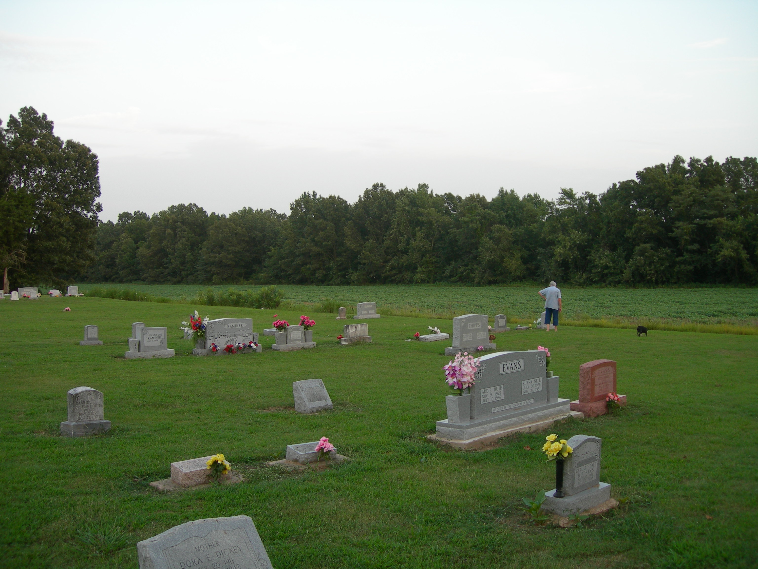
HC Harvey's Chapel Cemetery 5
Topographic Map of Greene Rd, Paragould, AR, USA
Find elevation by address:

Places near Greene Rd, Paragould, AR, USA:
3162 Greene Rd 514
Clark Township
120 W Court St
AR-, Paragould, AR, USA
304 S 16th Ave
Oak Grove Heights
Paragould
209 N 14th St
US 49, Marmaduke, AR, USA
Wonder Pool Co - Inground Pool Kits
Friendship Township
3804 W Kingshighway
W Kingshighway, Paragould, AR, USA
Spring Grove Township
Union
Paragould
Greene County
Hurricane Township
S 2nd St, Marmaduke, AR, USA
Marmaduke
Recent Searches:
- Elevation of Corso Fratelli Cairoli, 35, Macerata MC, Italy
- Elevation of Tallevast Rd, Sarasota, FL, USA
- Elevation of 4th St E, Sonoma, CA, USA
- Elevation of Black Hollow Rd, Pennsdale, PA, USA
- Elevation of Oakland Ave, Williamsport, PA, USA
- Elevation of Pedrógão Grande, Portugal
- Elevation of Klee Dr, Martinsburg, WV, USA
- Elevation of Via Roma, Pieranica CR, Italy
- Elevation of Tavkvetili Mountain, Georgia
- Elevation of Hartfords Bluff Cir, Mt Pleasant, SC, USA