Elevation of AR-, Paragould, AR, USA
Location: United States > Arkansas > Greene County > Union > Oak Grove Heights >
Longitude: -90.510617
Latitude: 36.120724
Elevation: 101m / 331feet
Barometric Pressure: 100KPa
Elevation Map:
Satellite Map:
Related Photos:
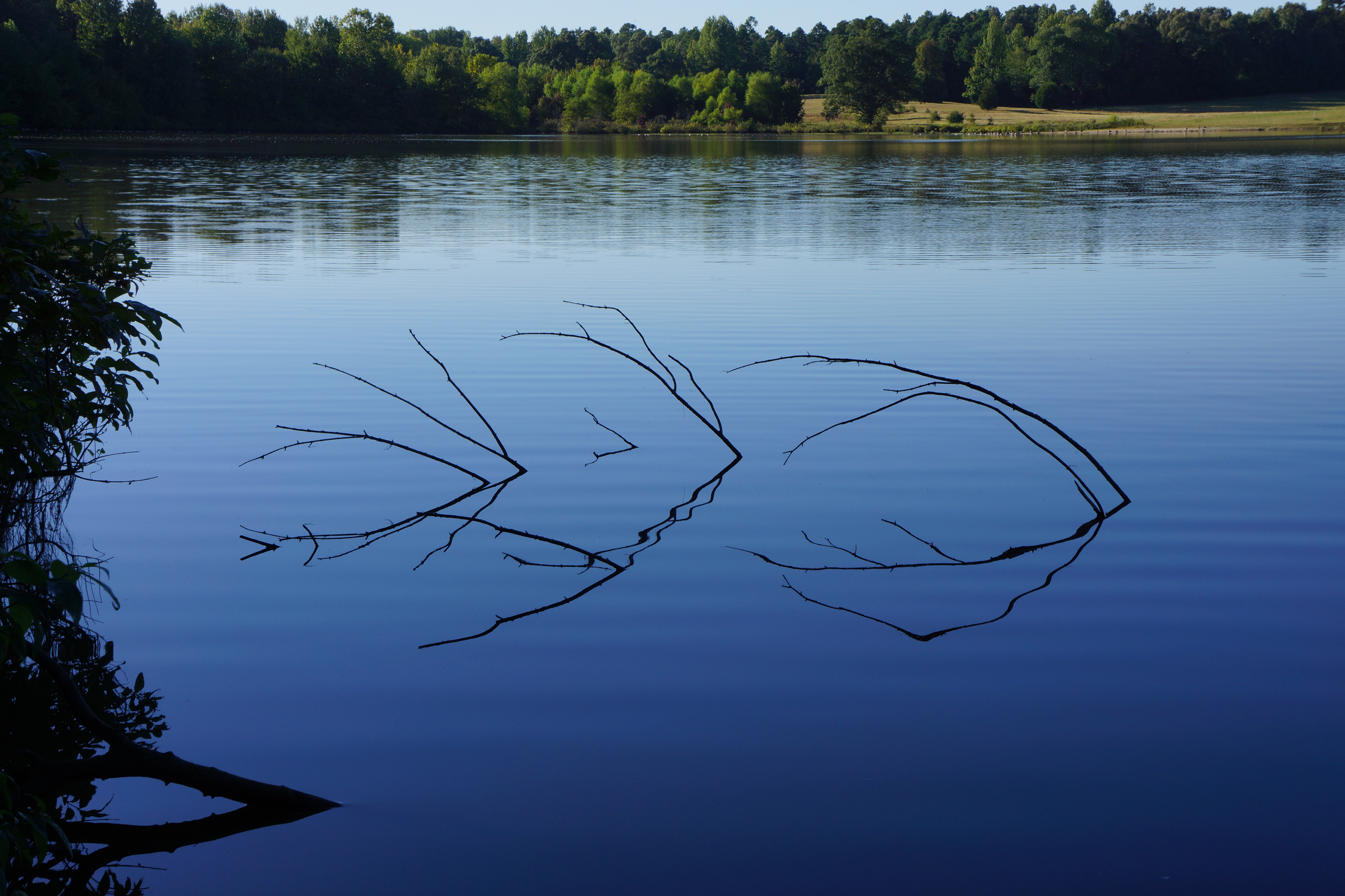
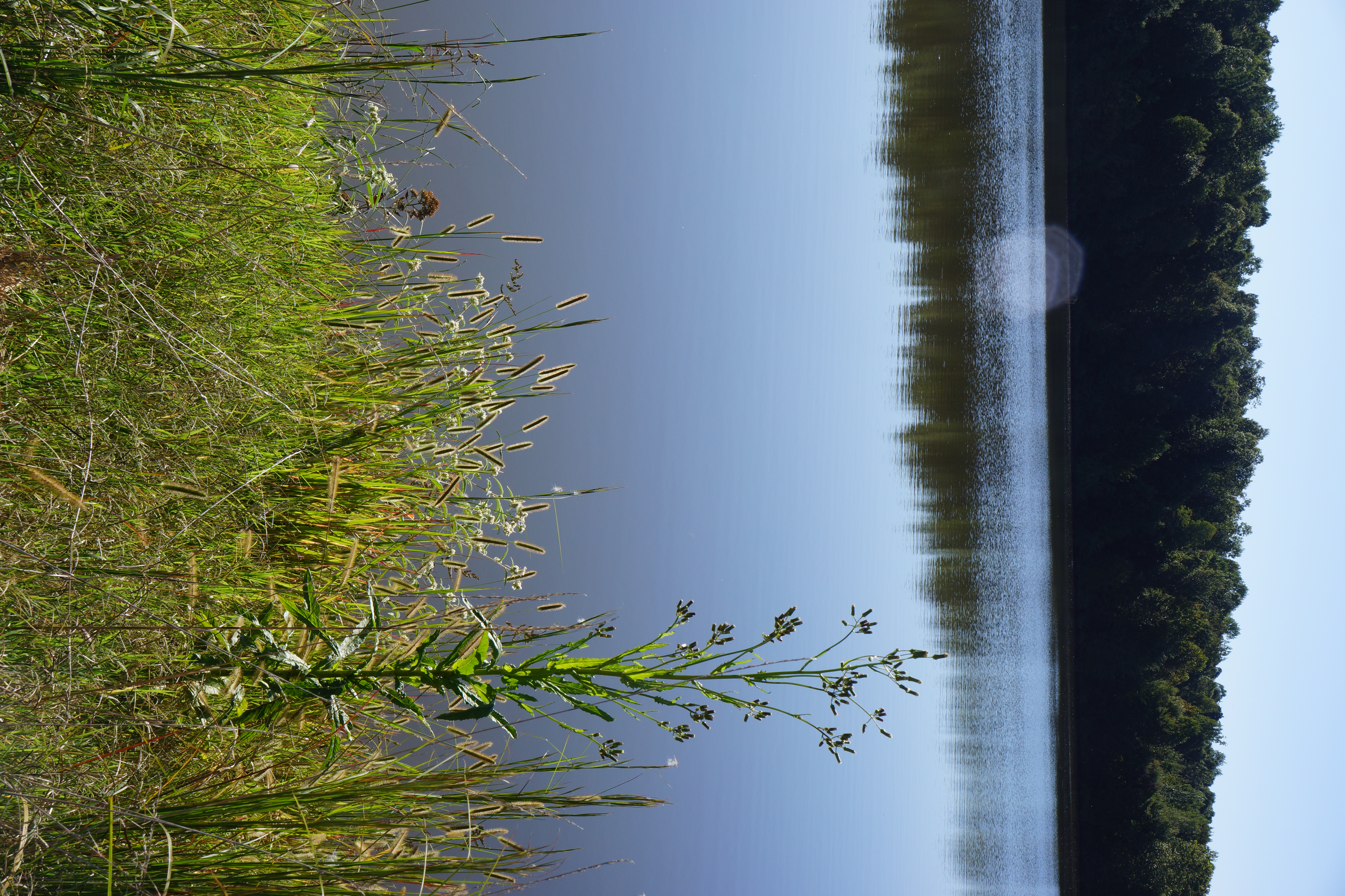
View across the lake
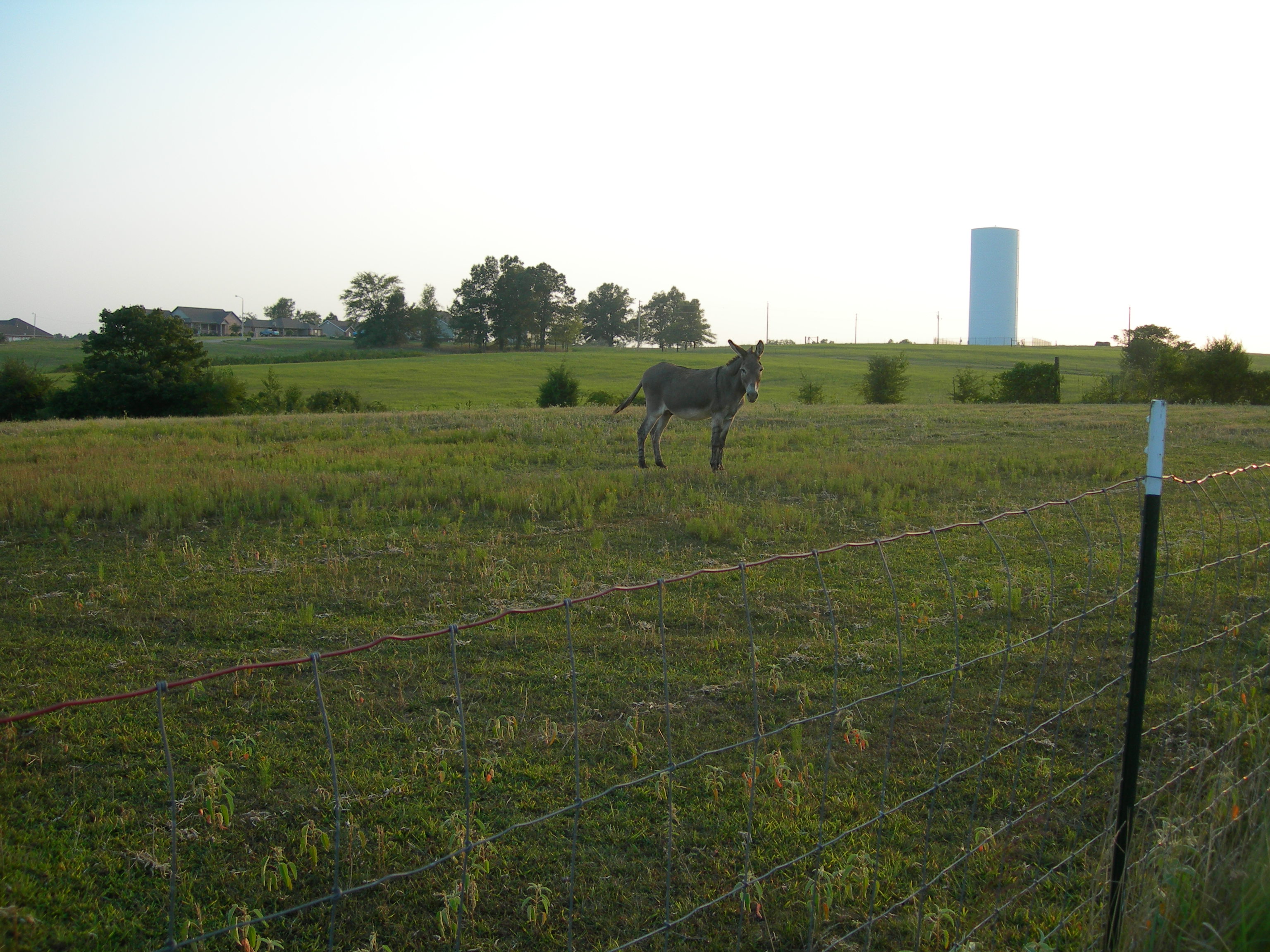
014 John, my grandfather's faithful old mule
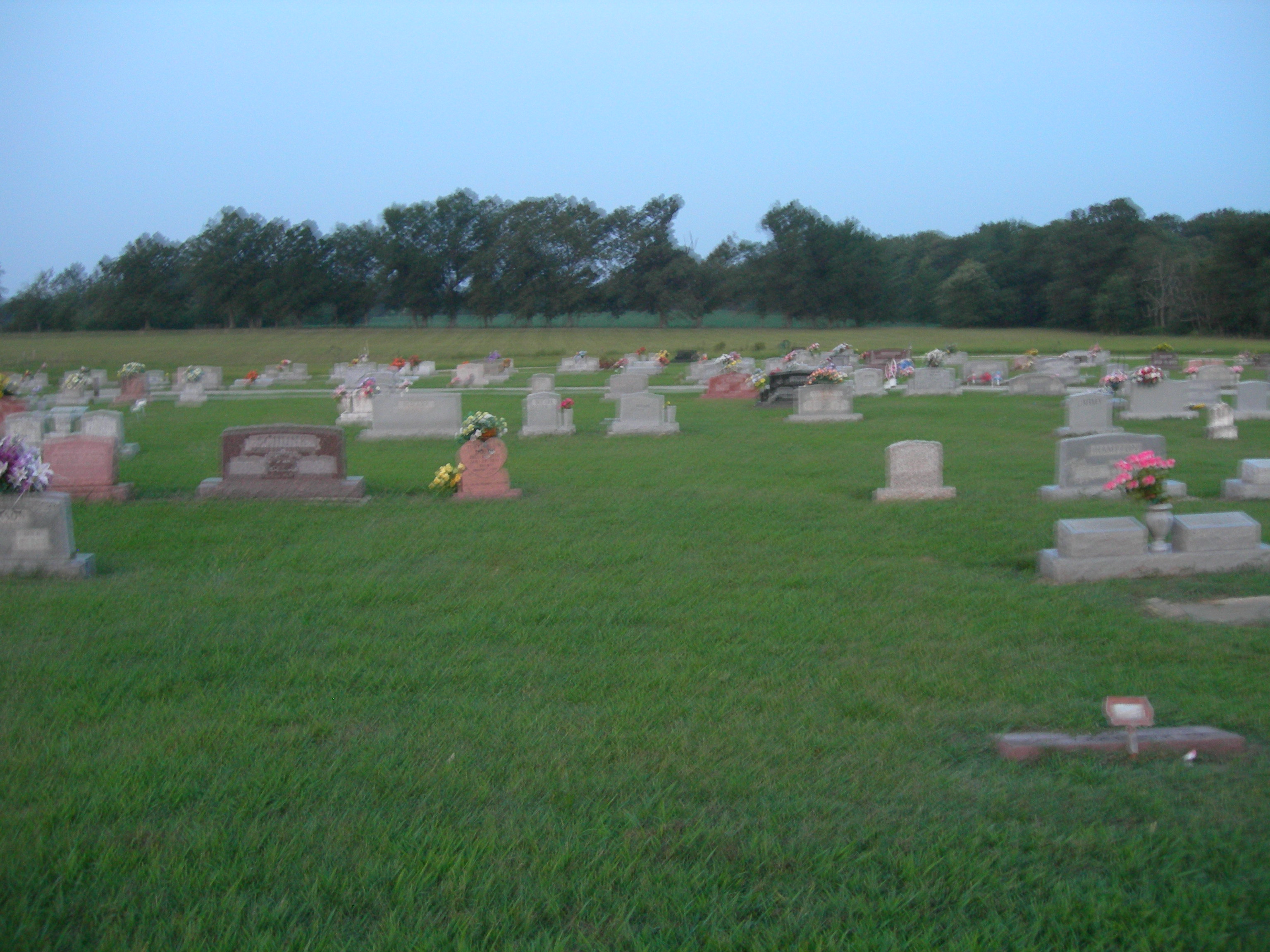
HC Harvey's Chapel Cemetery 2
HC Harvey's Chapel Cemetery 6

013 John
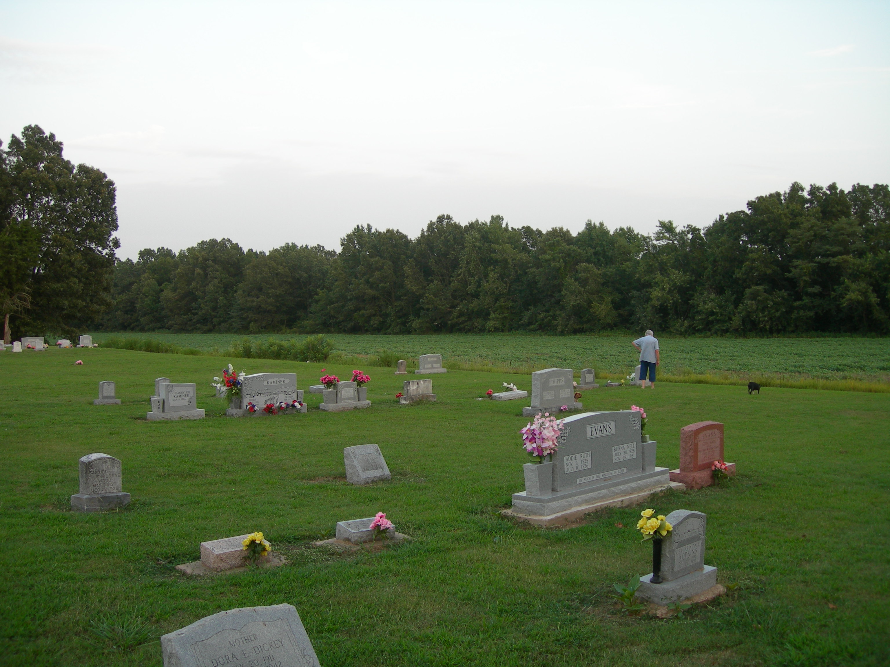
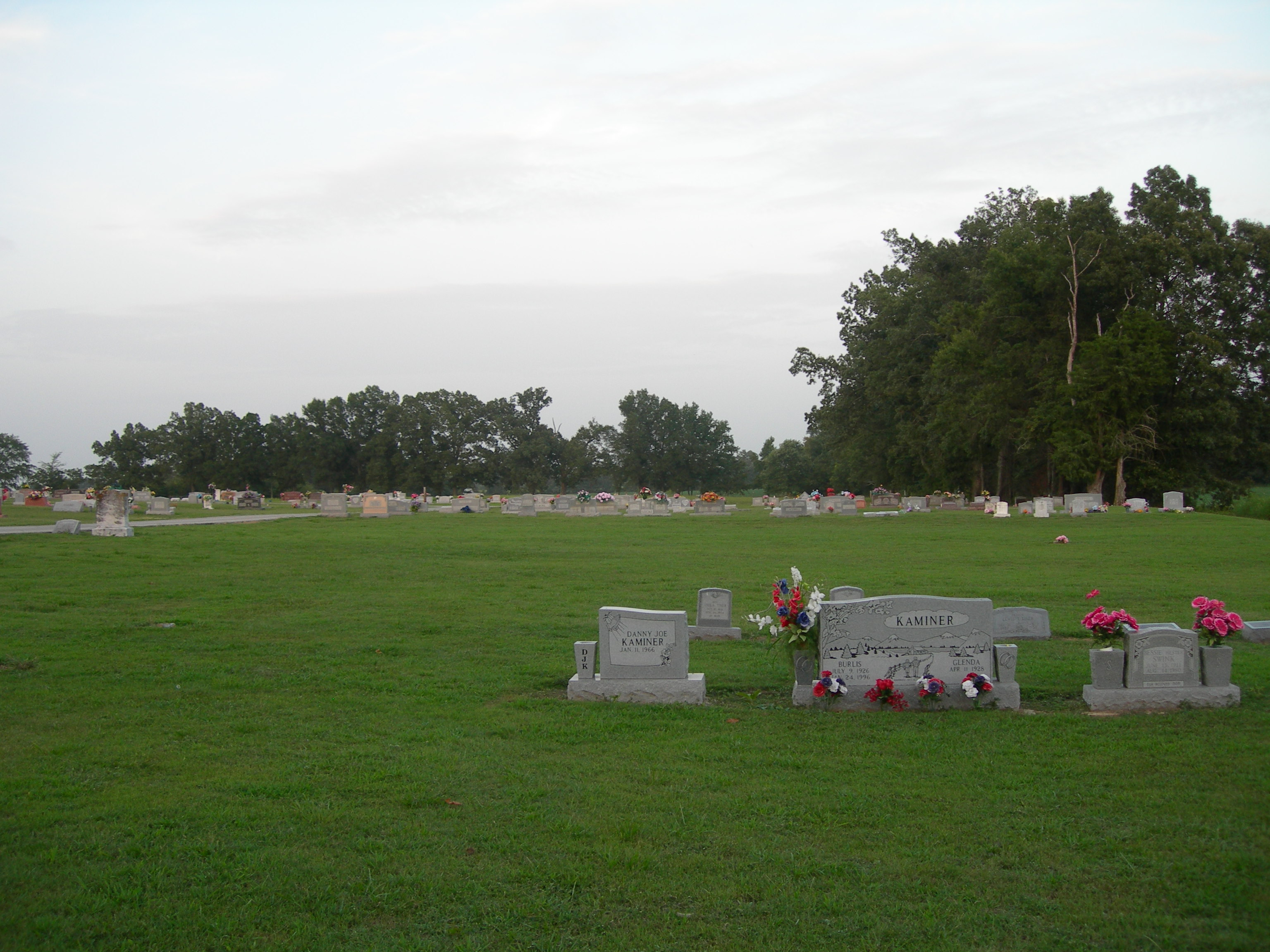
HC Harvey's Chapel Cemetery 5
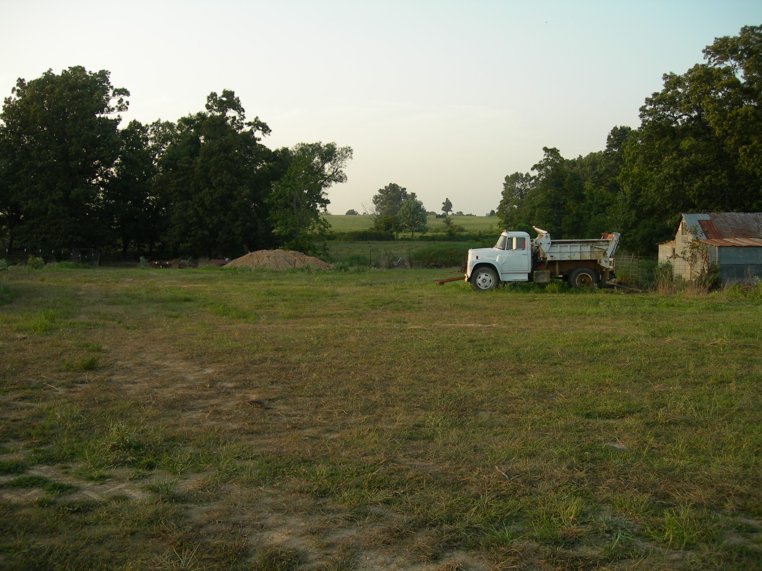
011 Across the fields
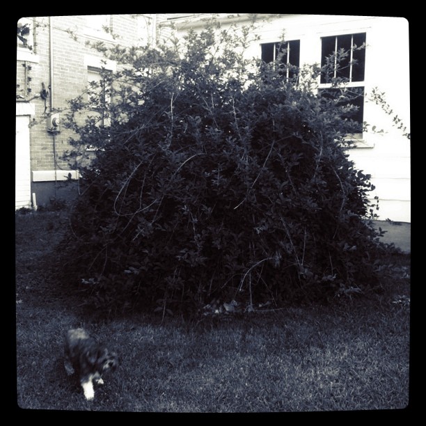
Big bush || #zoepup #dome #bush...
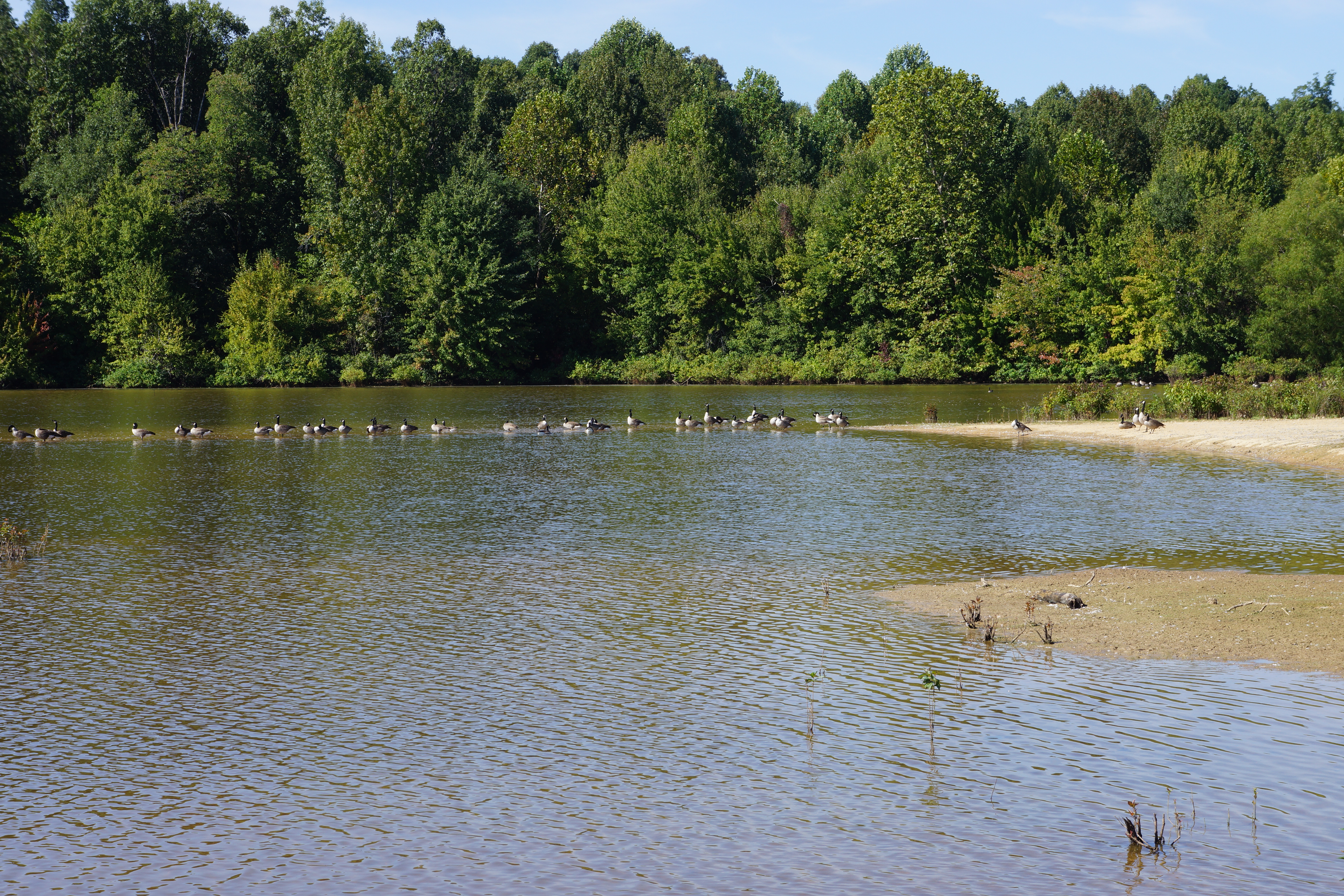
Geese on the sandbar, Meadow Lake
Erechtites hieracifolia (American burnweed) and grass
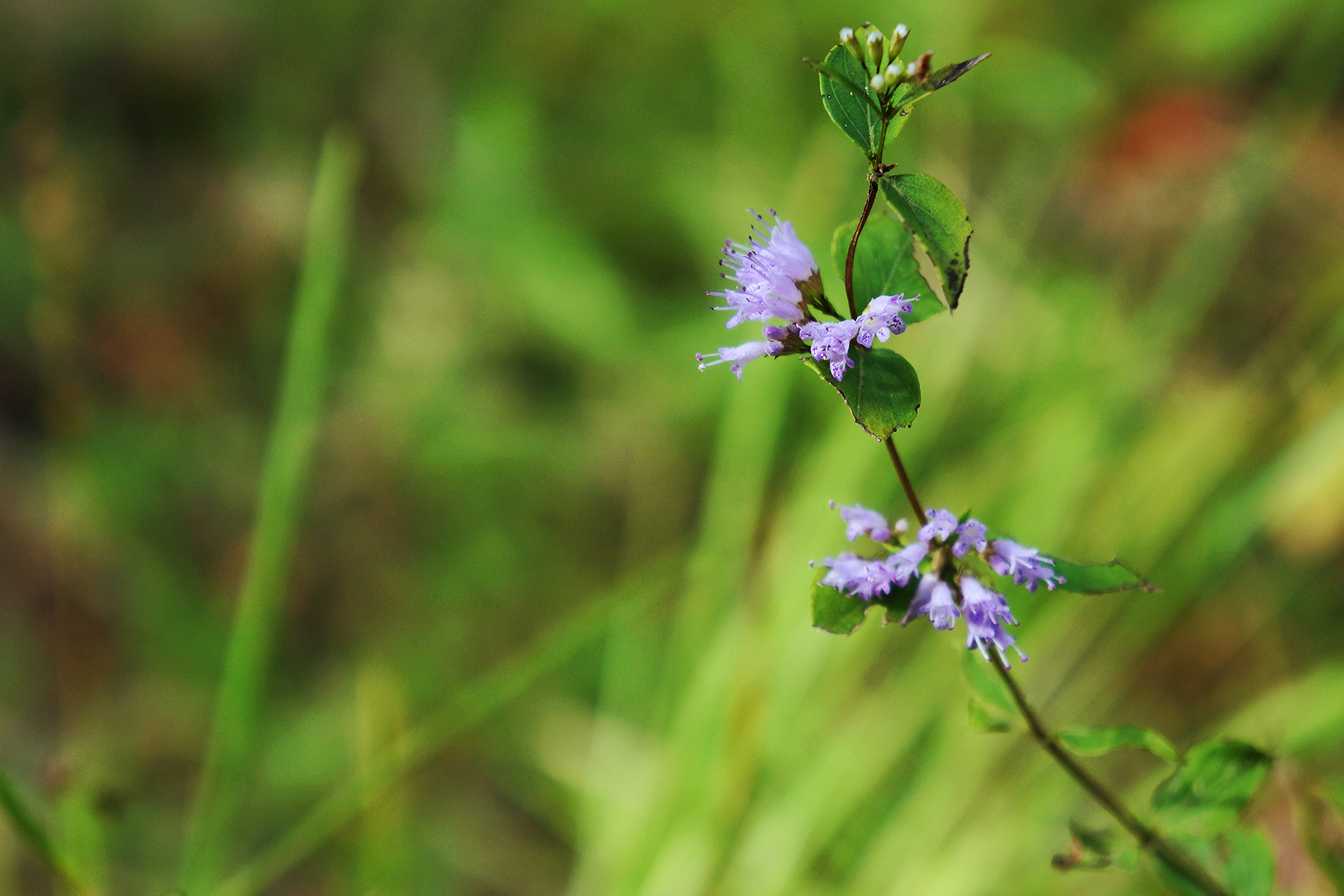
Cunila origanoides (dittany)
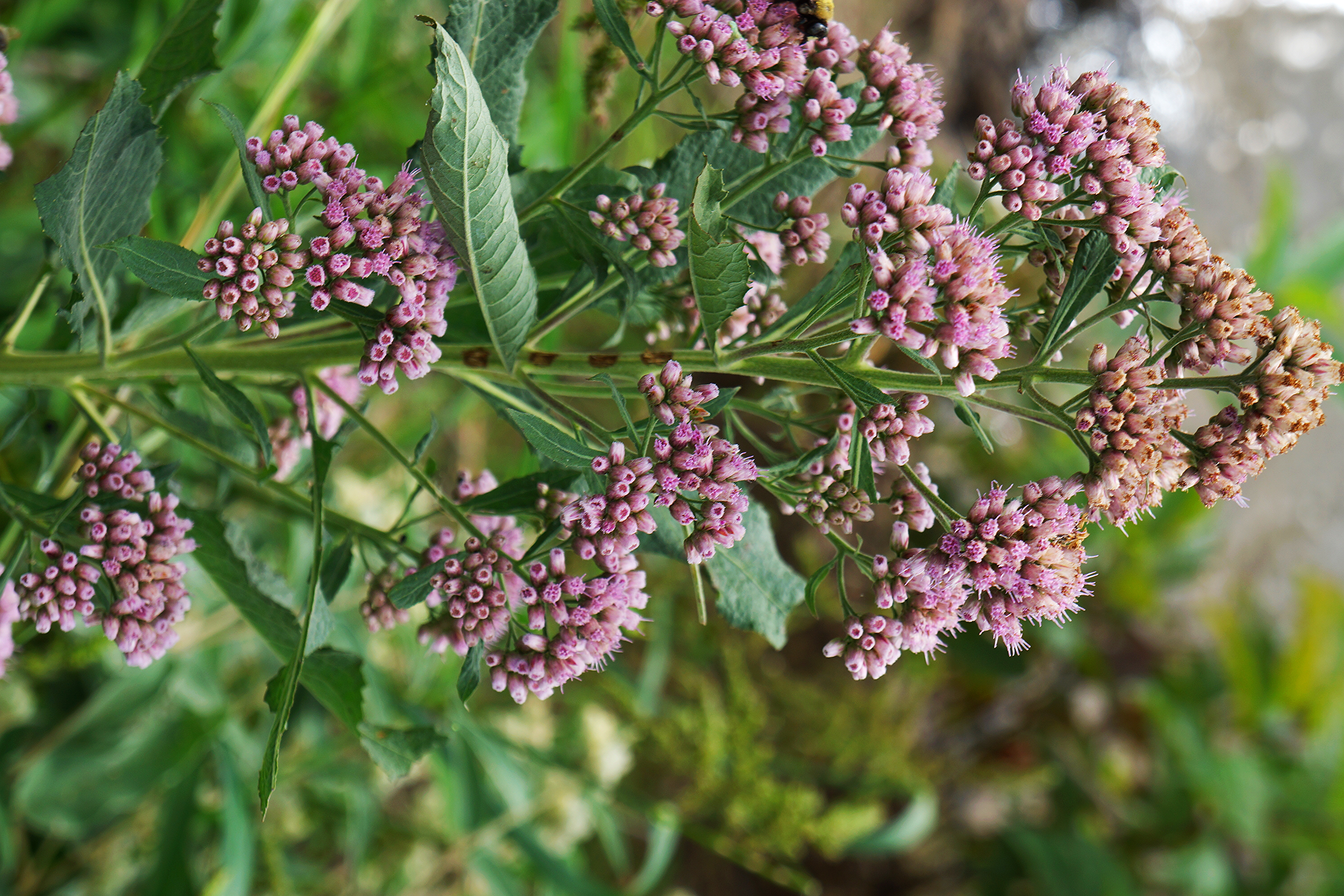
Pluchea camphorata (camphorweed)
Topographic Map of AR-, Paragould, AR, USA
Find elevation by address:

Places near AR-, Paragould, AR, USA:
Oak Grove Heights
3162 Greene Rd 514
3162 Greene Rd 514
Union
Clark Township
Paragould
Greene County
209 N 14th St
Paragould
3804 W Kingshighway
120 W Court St
W Kingshighway, Paragould, AR, USA
Friendship Township
US 49, Marmaduke, AR, USA
Spring Grove Township
304 S 16th Ave
Wonder Pool Co - Inground Pool Kits
Hurricane Township
Sugar Creek Township
S 2nd St, Marmaduke, AR, USA
Recent Searches:
- Elevation of Corso Fratelli Cairoli, 35, Macerata MC, Italy
- Elevation of Tallevast Rd, Sarasota, FL, USA
- Elevation of 4th St E, Sonoma, CA, USA
- Elevation of Black Hollow Rd, Pennsdale, PA, USA
- Elevation of Oakland Ave, Williamsport, PA, USA
- Elevation of Pedrógão Grande, Portugal
- Elevation of Klee Dr, Martinsburg, WV, USA
- Elevation of Via Roma, Pieranica CR, Italy
- Elevation of Tavkvetili Mountain, Georgia
- Elevation of Hartfords Bluff Cir, Mt Pleasant, SC, USA