Elevation of Greene Rd, Paragould, AR, USA
Location: United States > Arkansas > Greene County > Poland Township >
Longitude: -90.602267
Latitude: 36.0298047
Elevation: 150m / 492feet
Barometric Pressure: 100KPa
Elevation Map:
Satellite Map:
Related Photos:
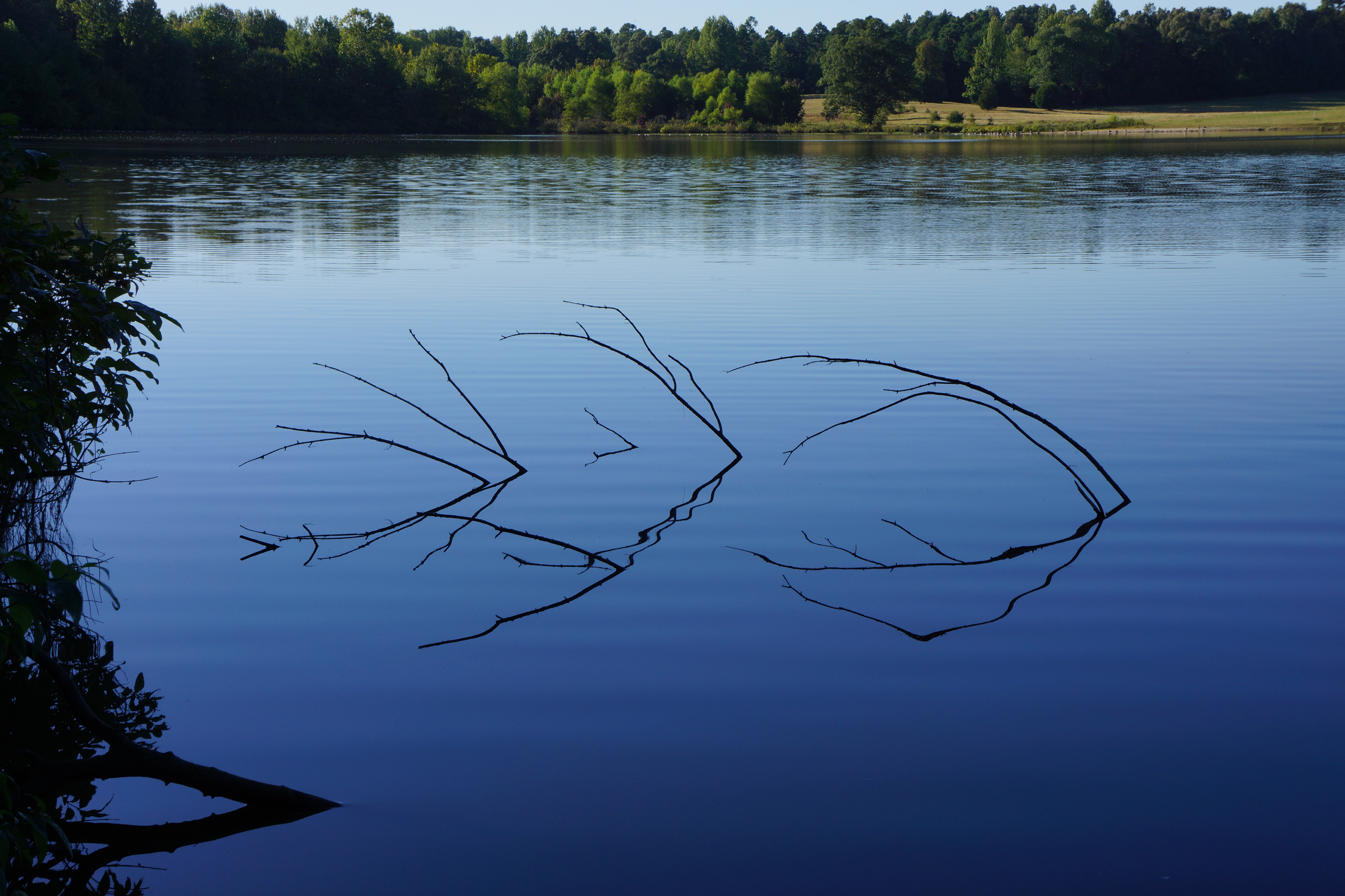
View across the lake
Big bush || #zoepup #dome #bush...

can you see me
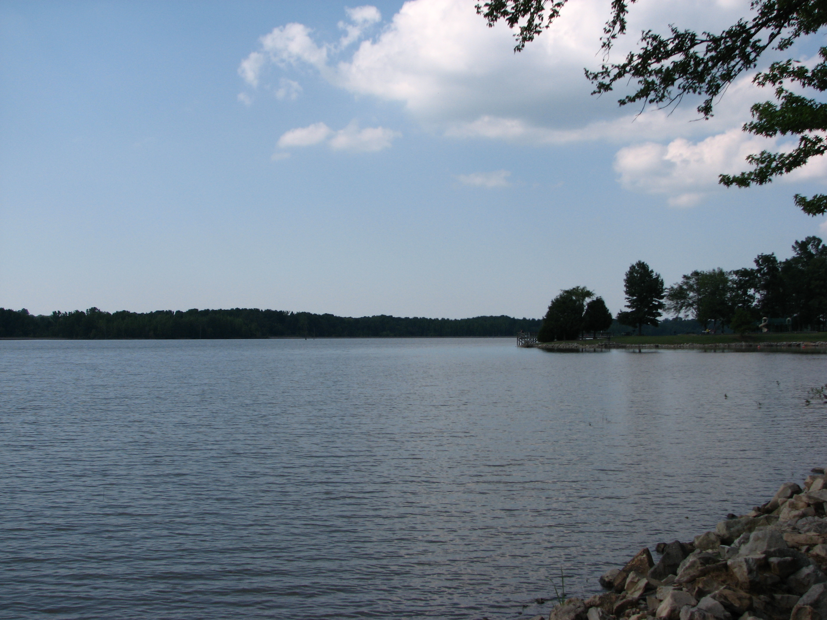
Lake Frierson
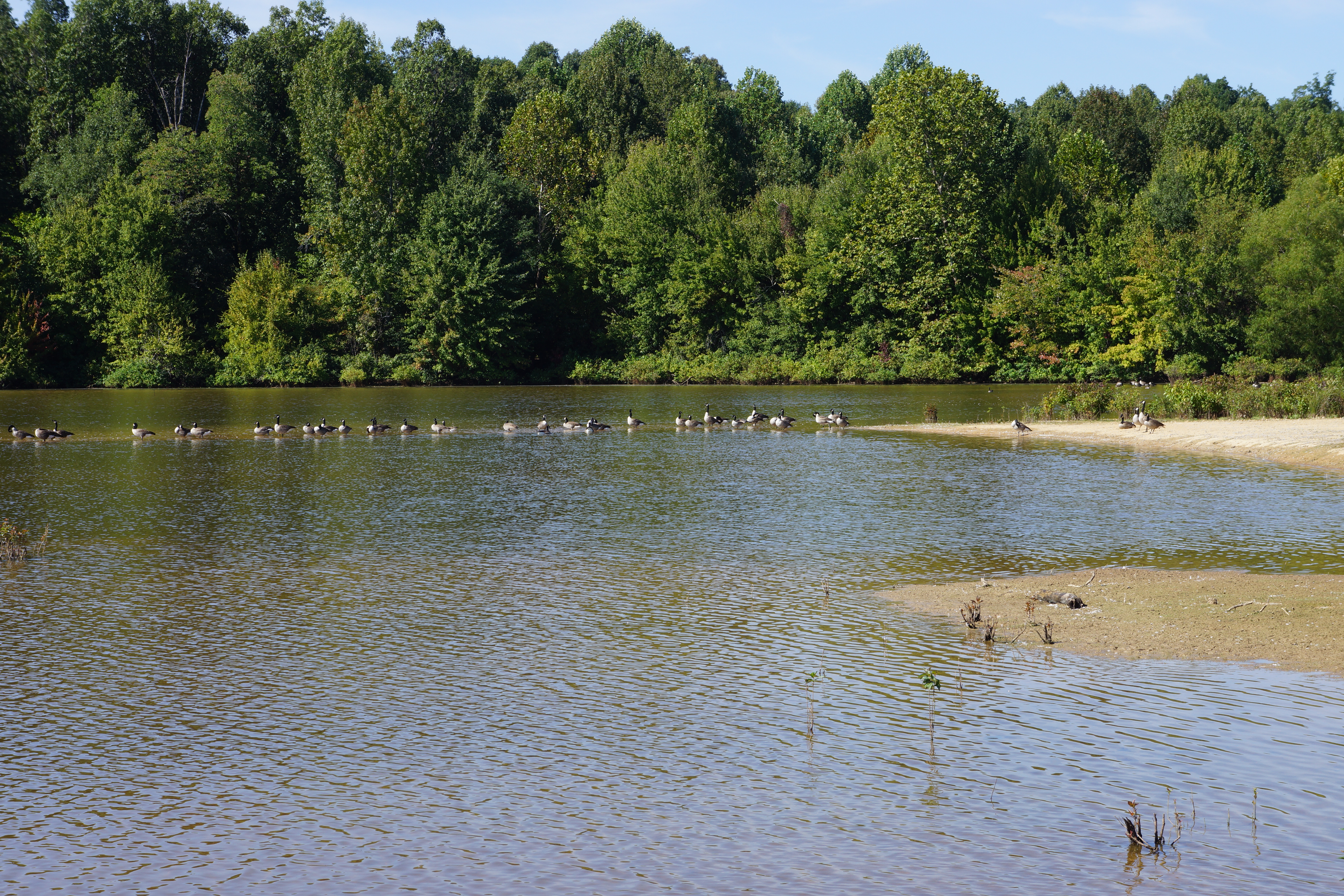
Geese on the sandbar, Meadow Lake
Erechtites hieracifolia (American burnweed) and grass
Cunila origanoides (dittany)
Pluchea camphorata (camphorweed)
#34 Call of Nature
Topographic Map of Greene Rd, Paragould, AR, USA
Find elevation by address:

Places near Greene Rd, Paragould, AR, USA:
Pine Knott Church Of Christ
Finch Rd, Paragould, AR, USA
468 Greene Rd 750
Poland Township
798 Greene County Rd 725
Craighead 799 Road
CR, Brookland, AR, USA
Brookland Township
112 Teresa Dr
112 Teresa Dr
112 Teresa Dr
112 Jessica Dr
102 Janis Dr
108 Lynn Cove
Brookland Park
Brookland
S Holman St, Brookland, AR, USA
AR-, Jonesboro, AR, USA
AR-, Jonesboro, AR, USA
Sage Meadows Country Club And Golf Course
Recent Searches:
- Elevation of Corso Fratelli Cairoli, 35, Macerata MC, Italy
- Elevation of Tallevast Rd, Sarasota, FL, USA
- Elevation of 4th St E, Sonoma, CA, USA
- Elevation of Black Hollow Rd, Pennsdale, PA, USA
- Elevation of Oakland Ave, Williamsport, PA, USA
- Elevation of Pedrógão Grande, Portugal
- Elevation of Klee Dr, Martinsburg, WV, USA
- Elevation of Via Roma, Pieranica CR, Italy
- Elevation of Tavkvetili Mountain, Georgia
- Elevation of Hartfords Bluff Cir, Mt Pleasant, SC, USA