Elevation of Gorenflo Gap Rd, Hot Springs, NC, USA
Location: United States > North Carolina > Madison County > 6, Hot Springs > Hot Springs >
Longitude: -82.859629
Latitude: 35.83806
Elevation: 587m / 1926feet
Barometric Pressure: 94KPa
Elevation Map:
Satellite Map:
Related Photos:

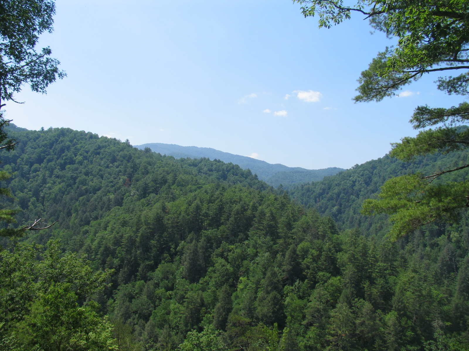
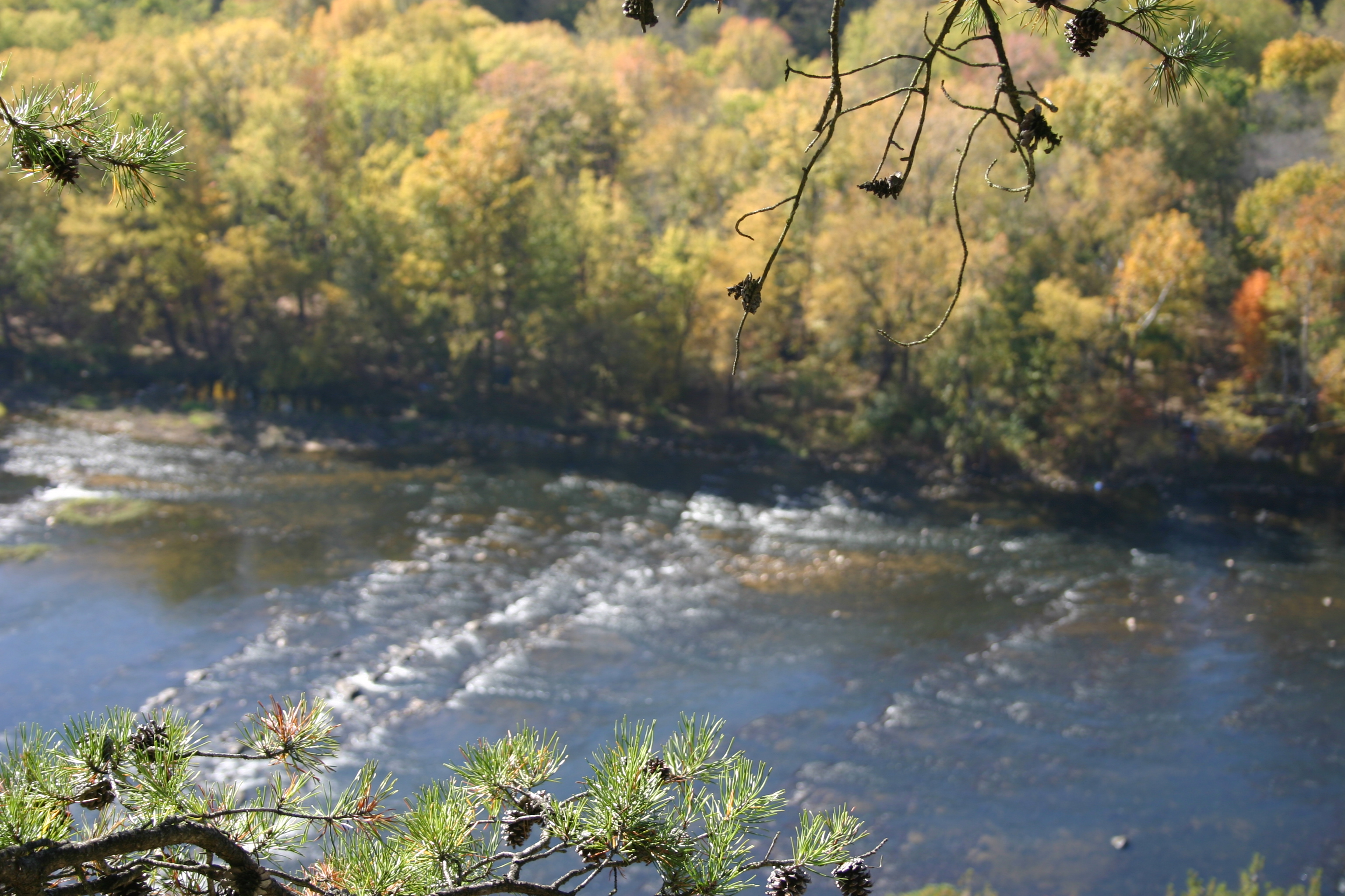
The Smokey Mountains

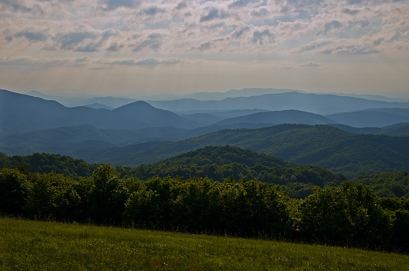
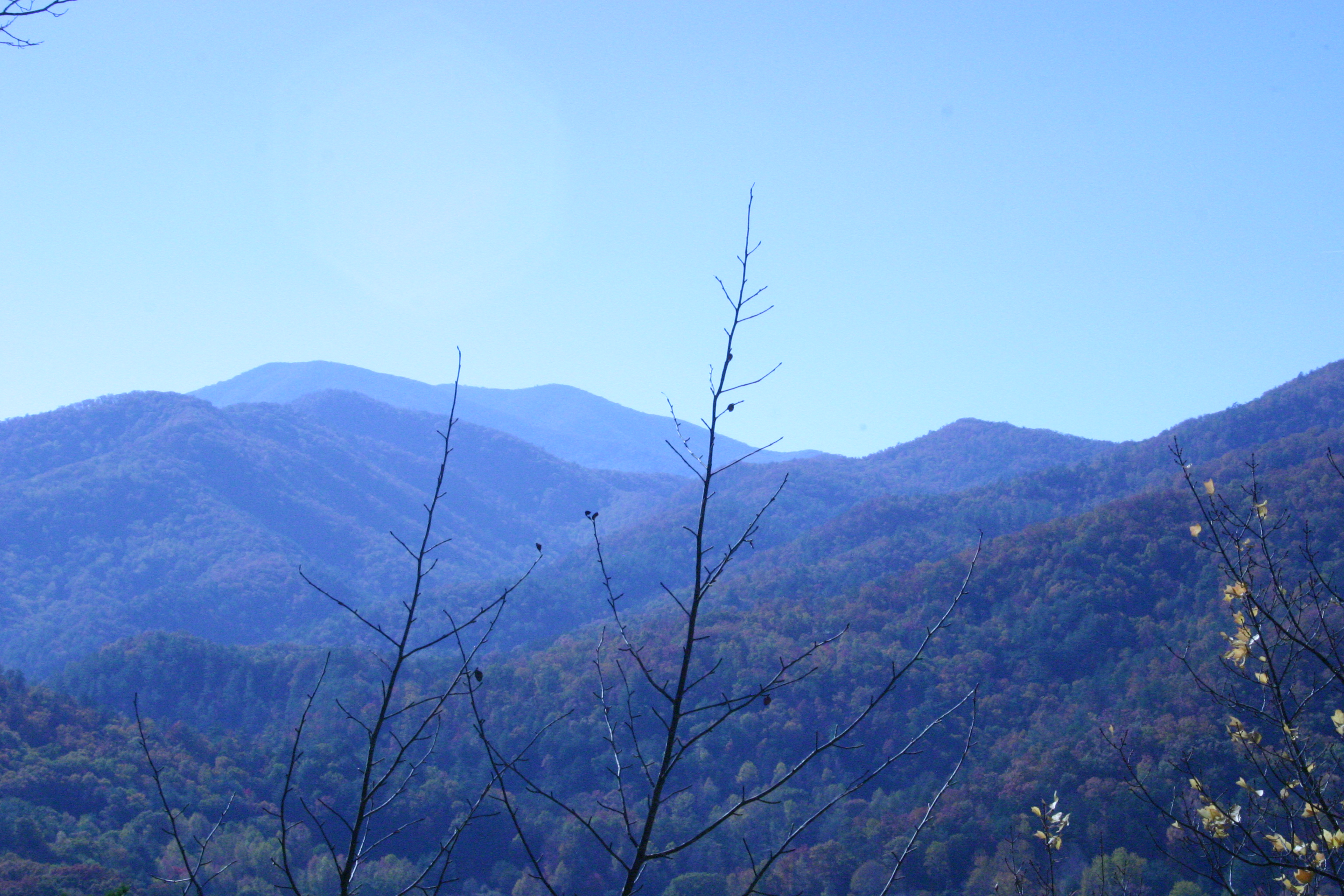
View from Max Patch

max patch

Houston Valley

The Appalachian Trail

Celebrating the 4th of July

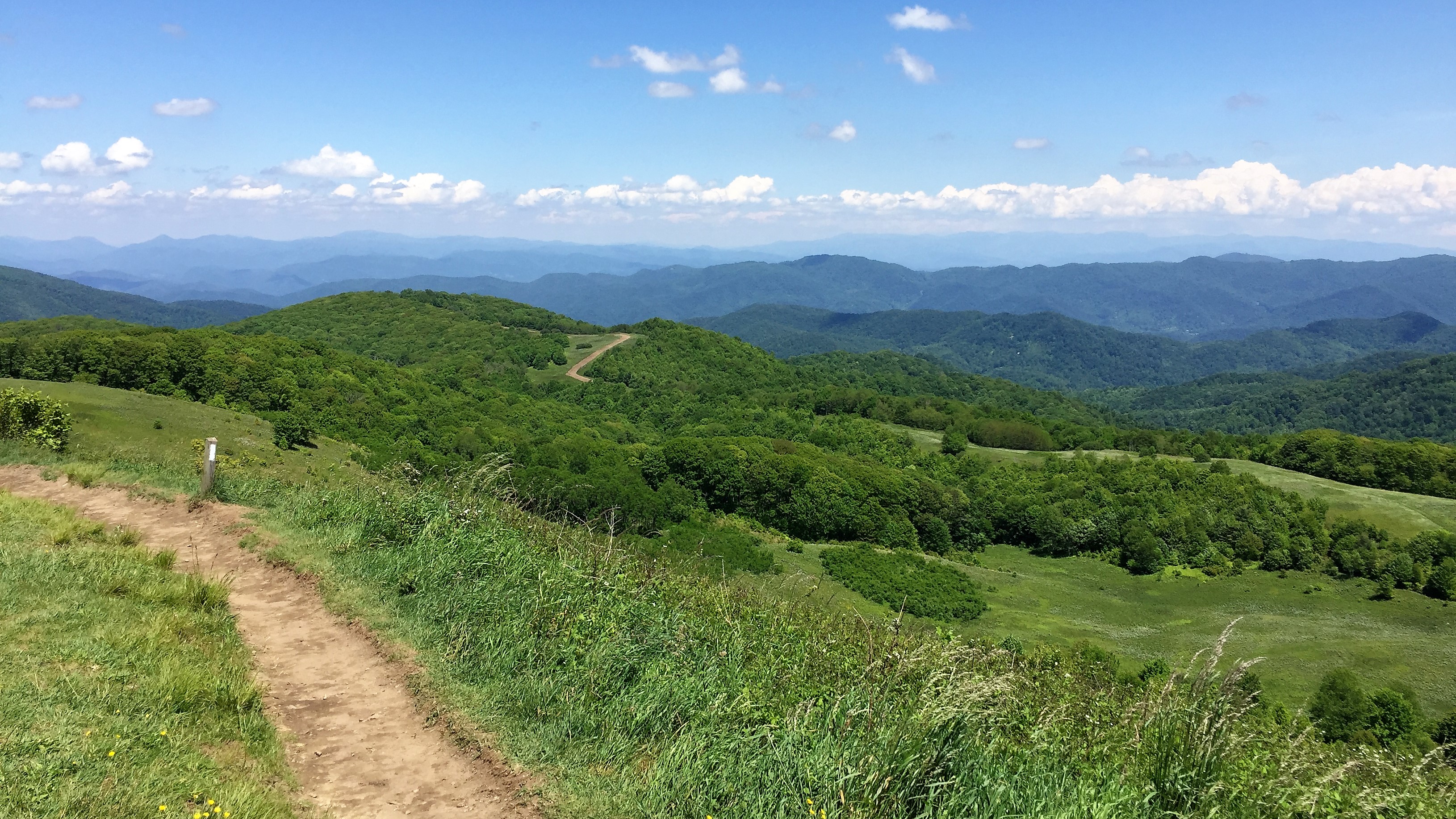
Max Patch
View from Max Patch

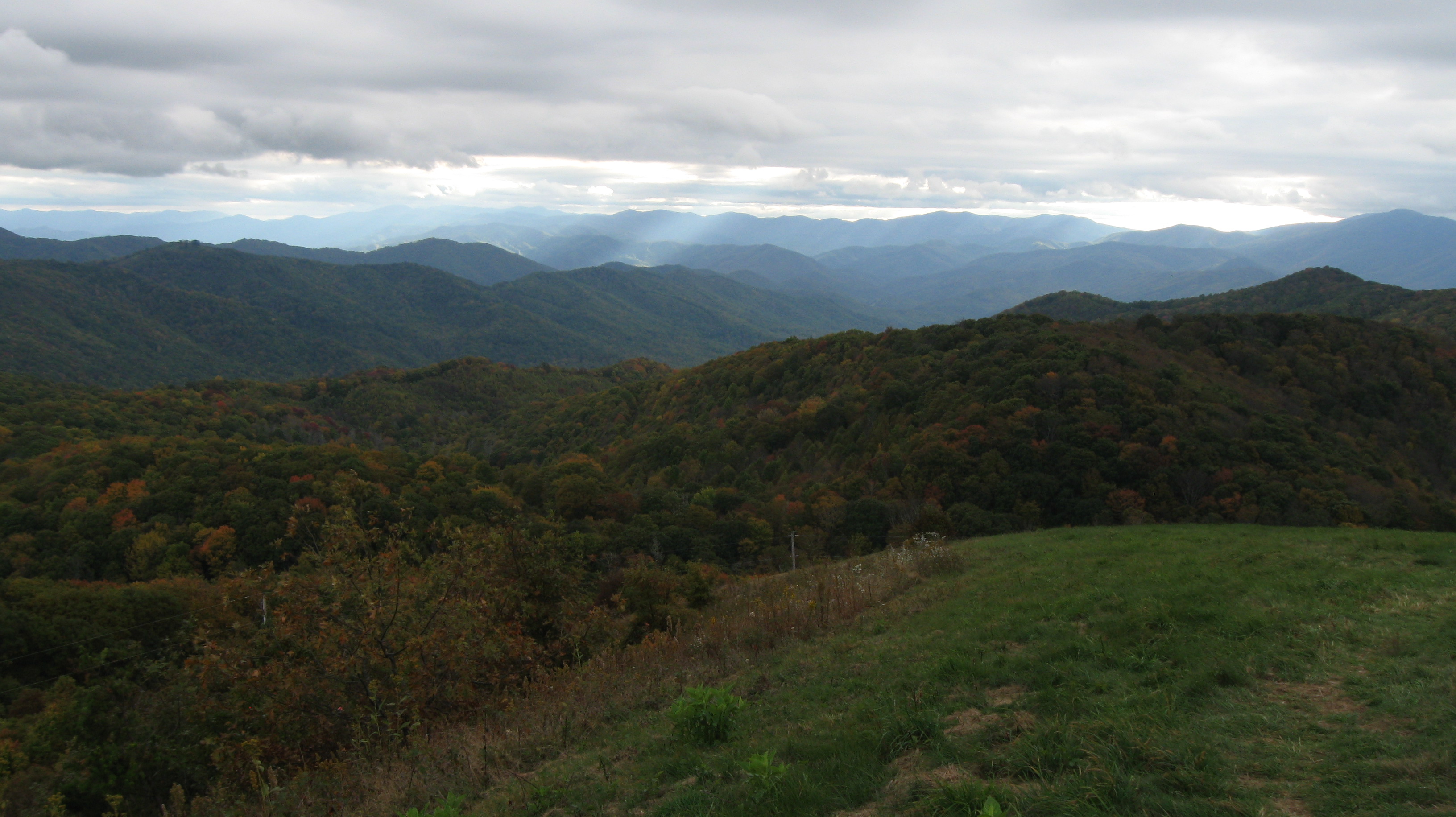
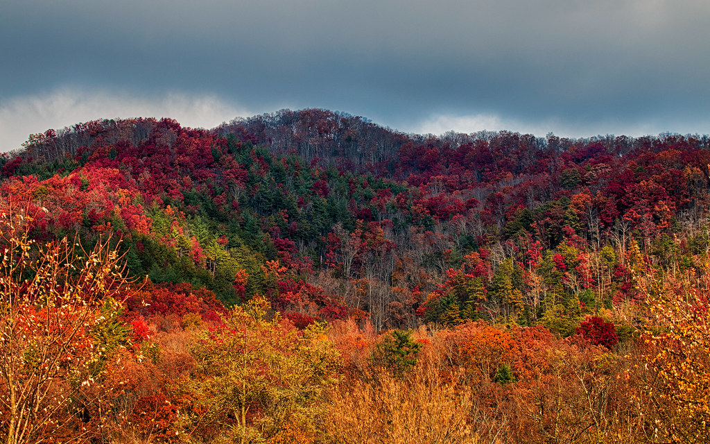
Fall on Max Patch

Rainbows over Max Patch

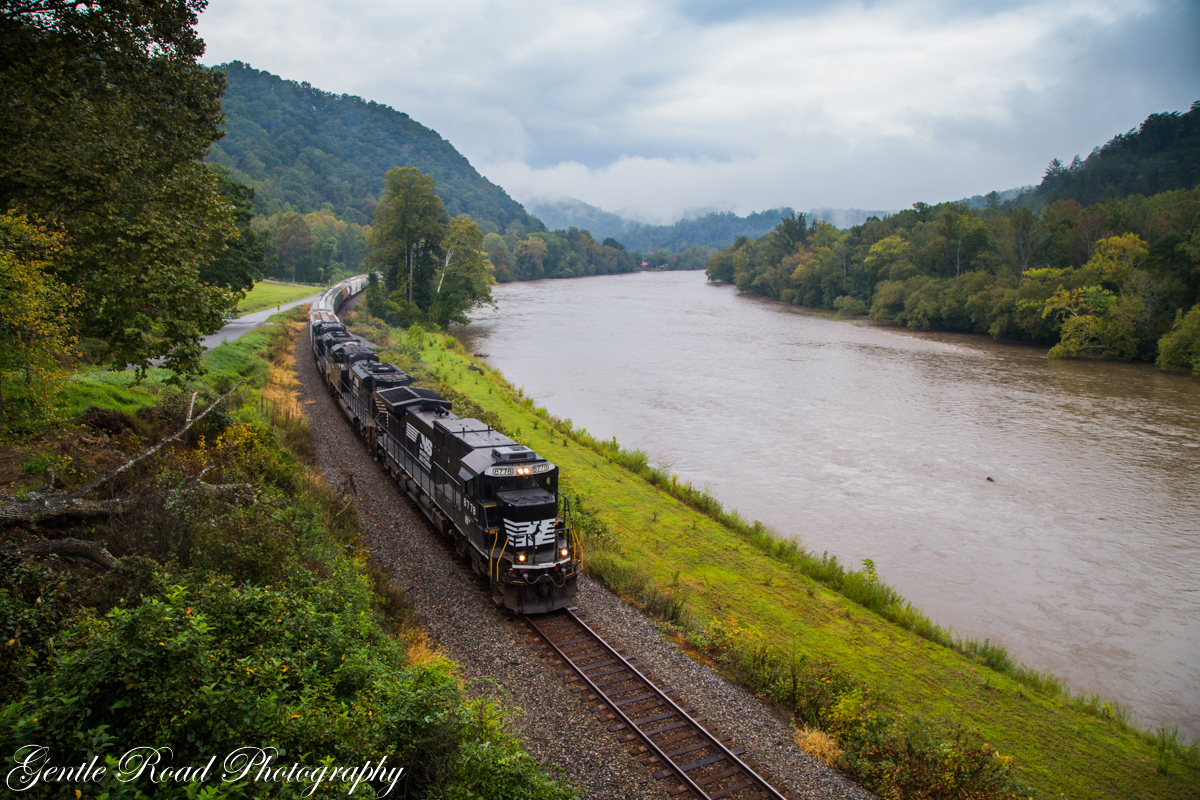
tracks & mountains

View from Max Patch, looking east

View from Max Patch
Max Patch - October 12, 2013-036
Max Patch - October 12, 2013-051

Max Patch - October 12, 2013-065
View from the Rich Mountain lookout tower
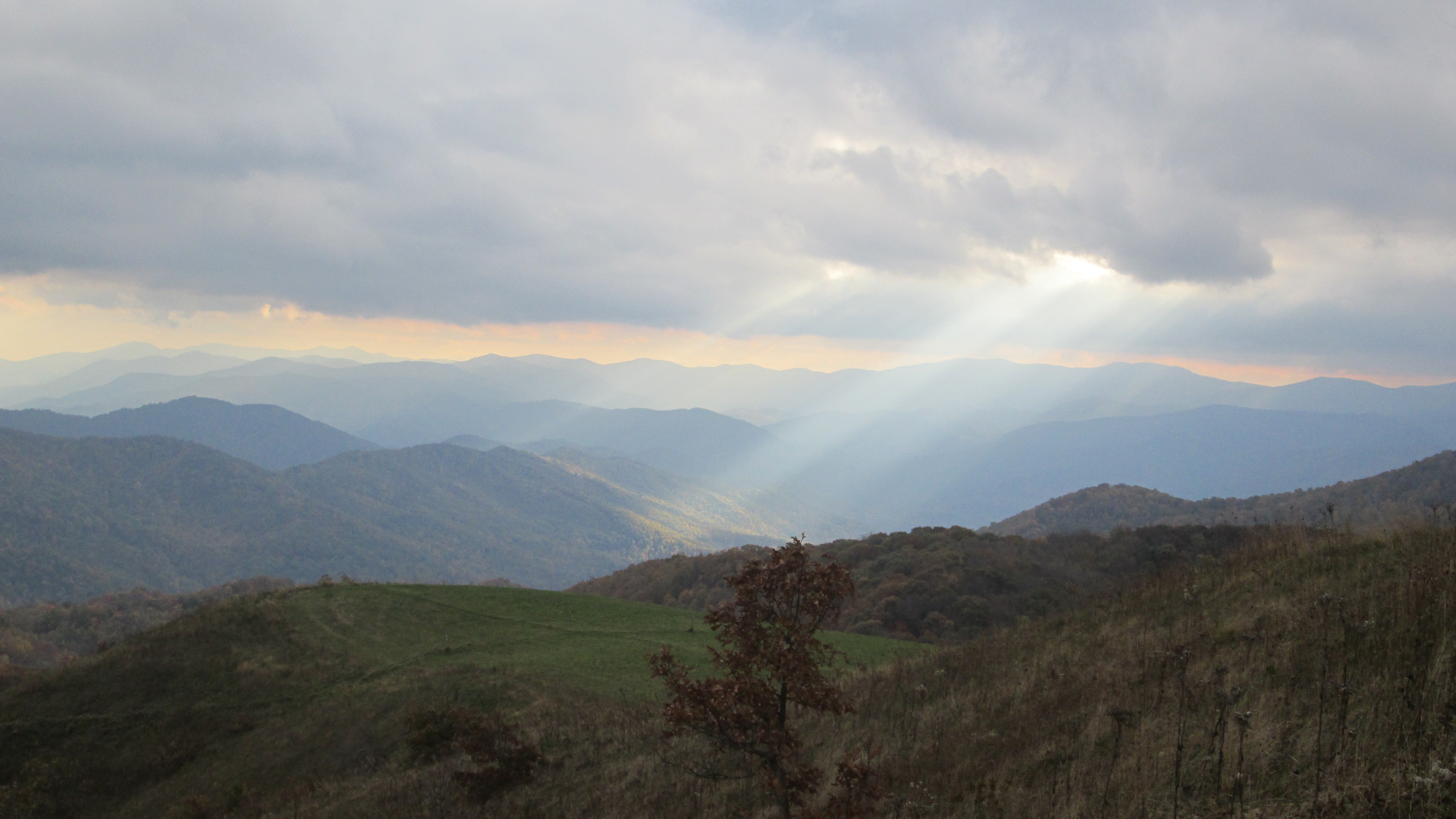
View looking north from Max Patch
NC 209 Scenic View
Max Patch - October 12, 2013-008
Clouds and Stars during a Lightning Storm
123 along the French Broad

western north carolina #sky #clouds #appalachian #mountains #landscape

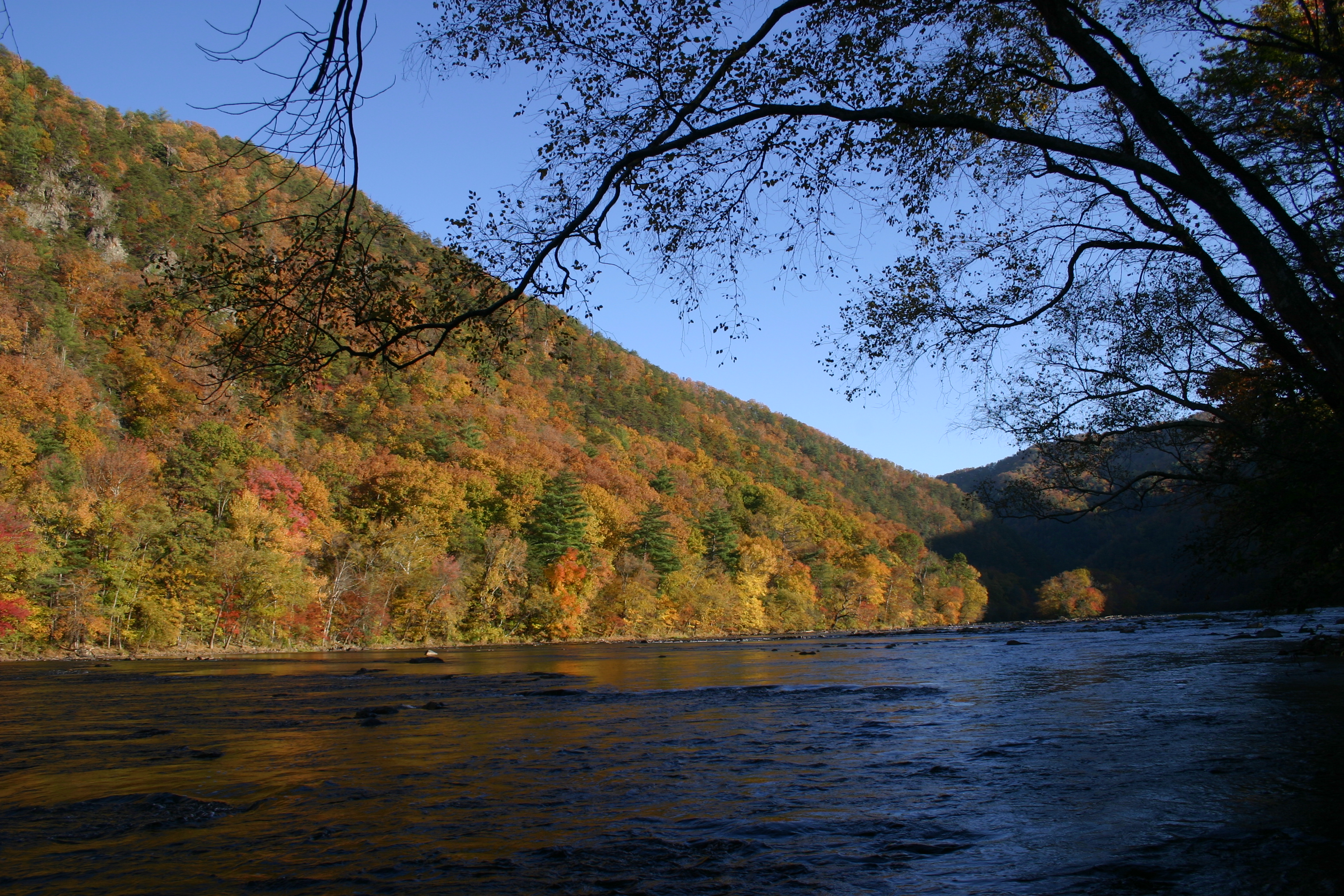
Hot Srings Oct 08 296
On Max Patch Bald on the TN/NC state line.
Max Patch mountain
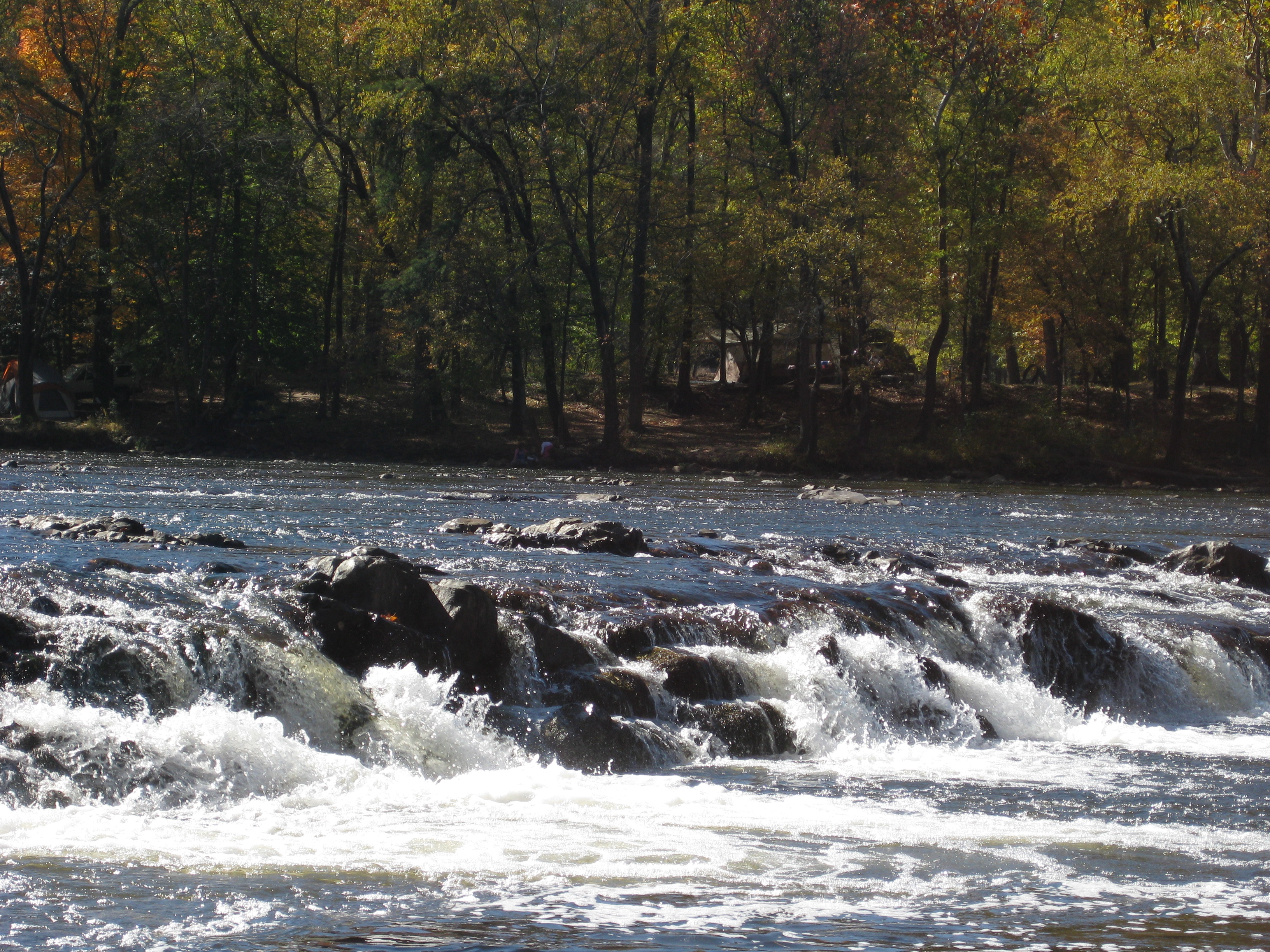
Hot Srings Oct 08 240
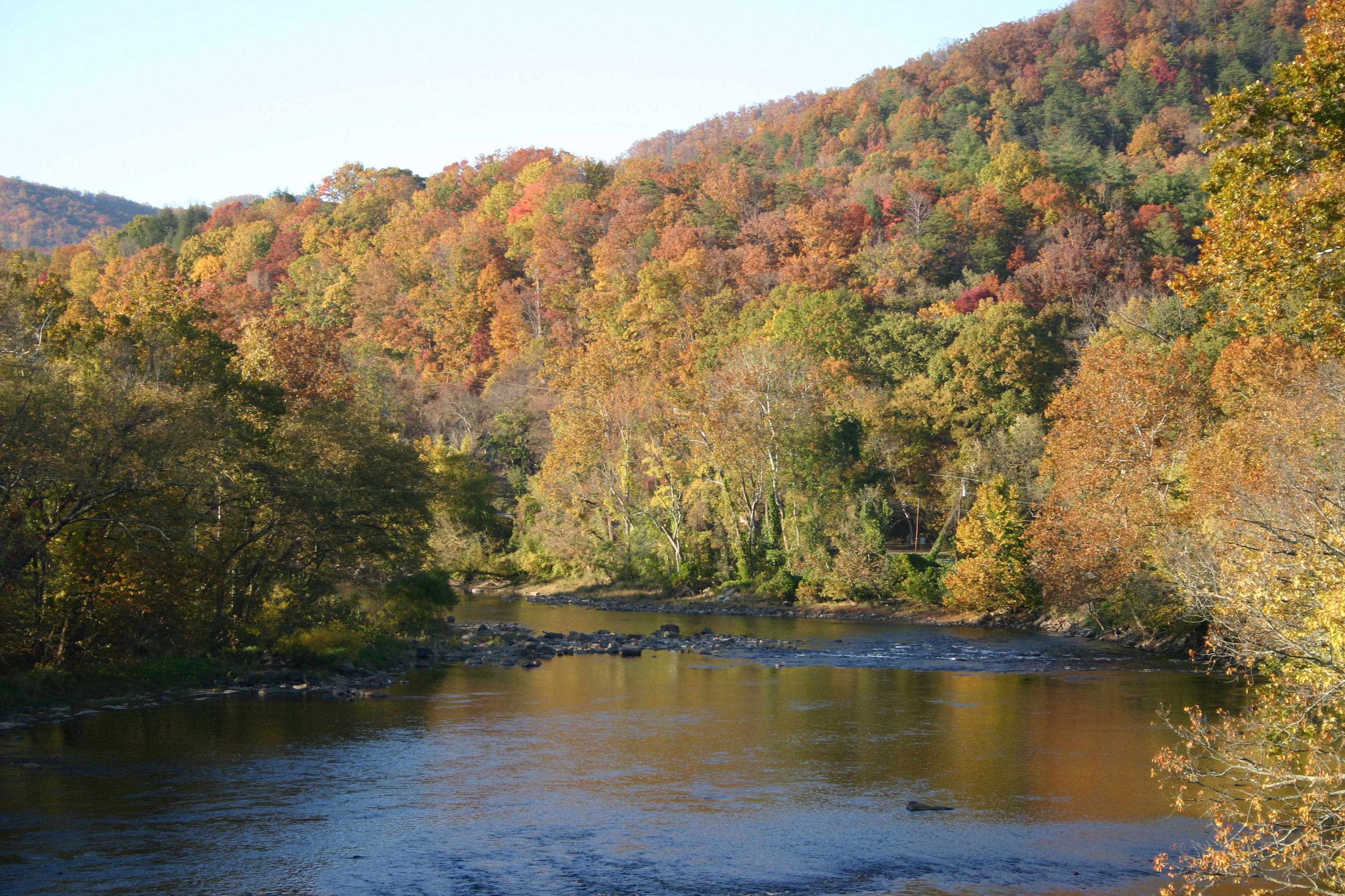
Hot Springs Oct 08 179
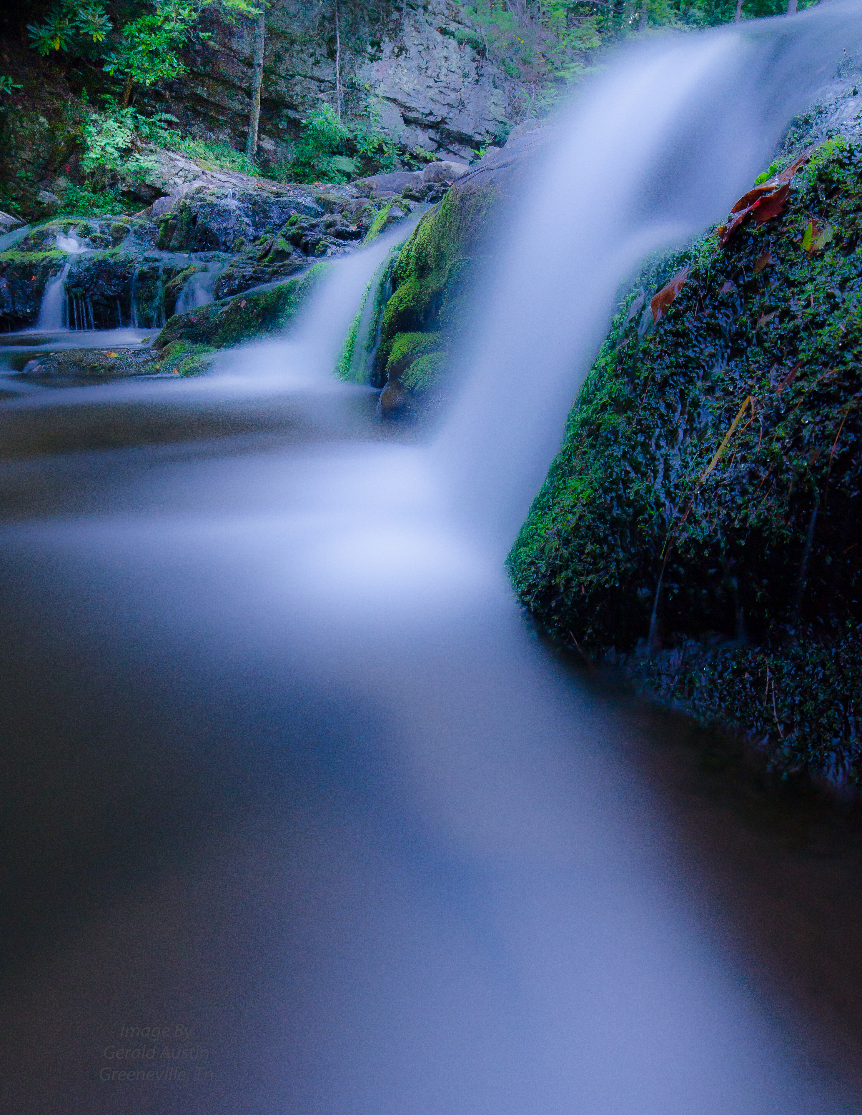
Paint Creek under starlight
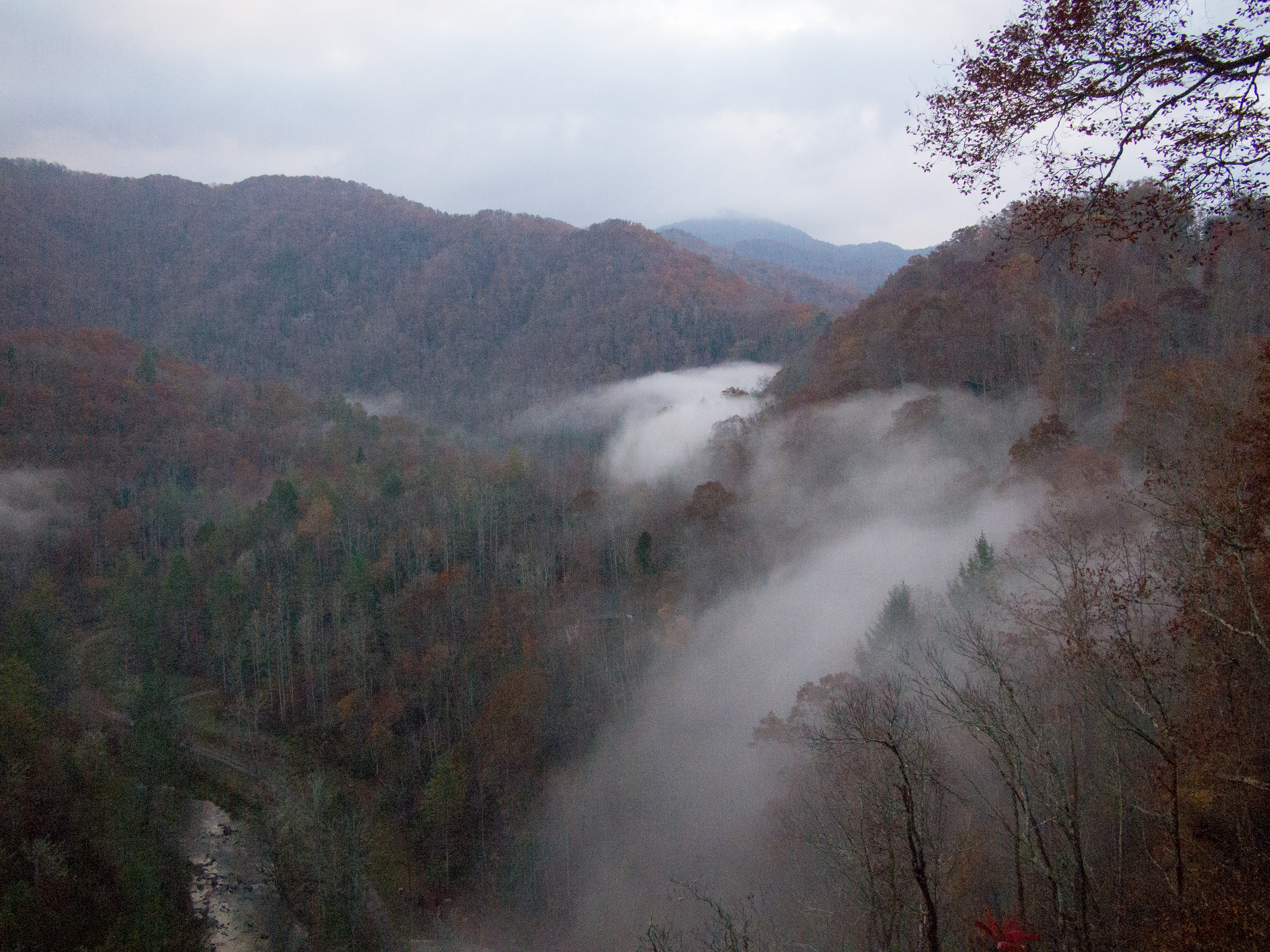
Hot Springs Oct 08 197
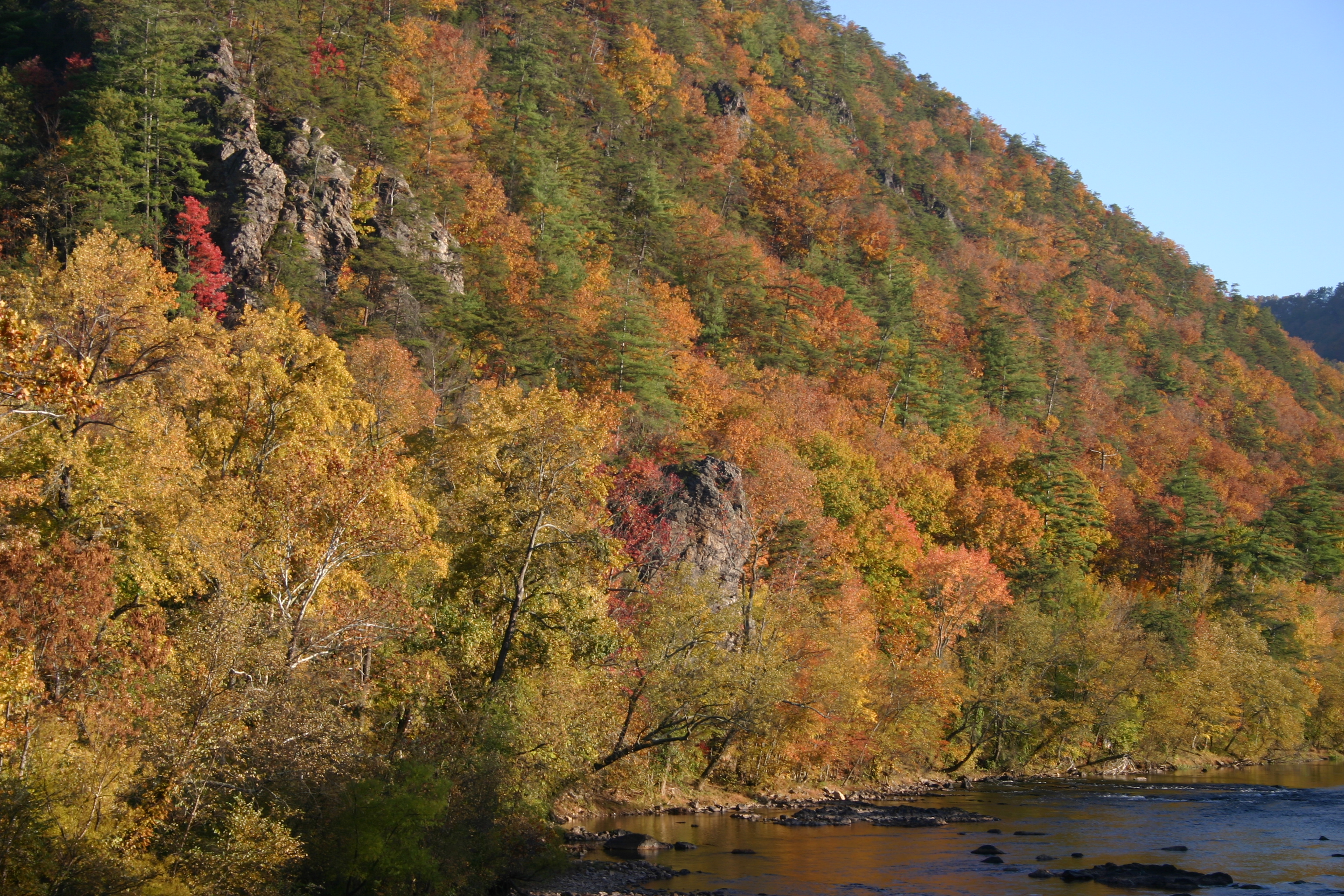
IMG_1142_Fall.jpg
Hot Srings Oct 08 228
Hot Springs Oct 08 017
Hot Srings Oct 08 257
20131103-PB034447
Topographic Map of Gorenflo Gap Rd, Hot Springs, NC, USA
Find elevation by address:

Places near Gorenflo Gap Rd, Hot Springs, NC, USA:
Bluff
60 Gorenflo Gap Rd, Hot Springs, NC, USA
6128 Nc-209
369 Waldroup Rd
71 Waldroup Rd
1618 Meadow Fork Rd
175 Creekview Dr
9779 Nc-209
Hot Springs, NC, USA
2685 West Rd
212 Freedom Ln
1307 W Rd
Freedom Lane
West Road
Spring Creek
West Road
2375 Anderson Cove Rd
10755 Nc-209
10755 Nc-209
3217 Baltimore Branch Rd
Recent Searches:
- Elevation of Corso Fratelli Cairoli, 35, Macerata MC, Italy
- Elevation of Tallevast Rd, Sarasota, FL, USA
- Elevation of 4th St E, Sonoma, CA, USA
- Elevation of Black Hollow Rd, Pennsdale, PA, USA
- Elevation of Oakland Ave, Williamsport, PA, USA
- Elevation of Pedrógão Grande, Portugal
- Elevation of Klee Dr, Martinsburg, WV, USA
- Elevation of Via Roma, Pieranica CR, Italy
- Elevation of Tavkvetili Mountain, Georgia
- Elevation of Hartfords Bluff Cir, Mt Pleasant, SC, USA