Elevation of Freedom Ln, Hot Springs, NC, USA
Location: United States > North Carolina > Madison County > 8, Spring Creek >
Longitude: -82.857251
Latitude: 35.802243
Elevation: 711m / 2333feet
Barometric Pressure: 93KPa
Elevation Map:
Satellite Map:
Related Photos:

Max Patch

The Smokey Mountains

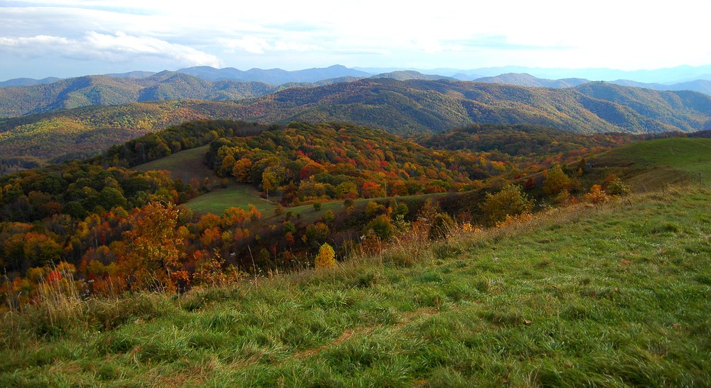
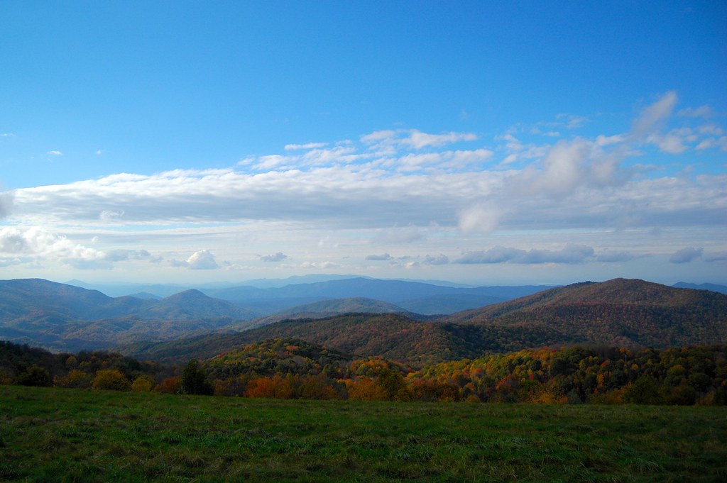
View from Max Patch

Max Patch, Ecclesiastes 3:11

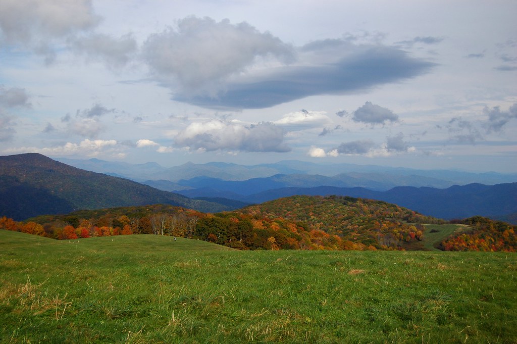
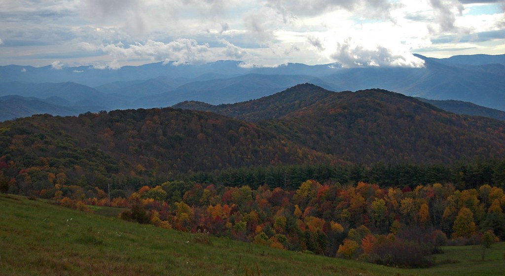
Fall on Max Patch

The Appalachian Trail

Rainbows over Max Patch

Celebrating the 4th of July
View from Max Patch

Morning view, after the rain. #visitNCfarms #ncwine #vineyard #gottobenc
View looking north from Max Patch

Max Patch, Romans 1:20

View From Max Patch

max patch

View from Max Patch

tracks & mountains

View from Max Patch, looking east

Max Patch - October 12, 2013-052
View from the Rich Mountain lookout tower

Clouds and Stars during a Lightning Storm

View from Max Patch, looking east
Sandy Bottom Trail Rides

tone gold
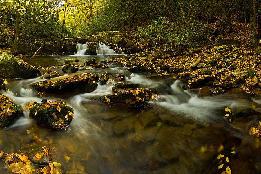
Harmon Den Creek in North Carolina.
Max Patch 03
Photo Stream-682

Blue Ridge Mountains, Psalm 104:32
Max Patch 02
Max Patch 04

Photo Stream-684

Path to the summit
Max Patch 01

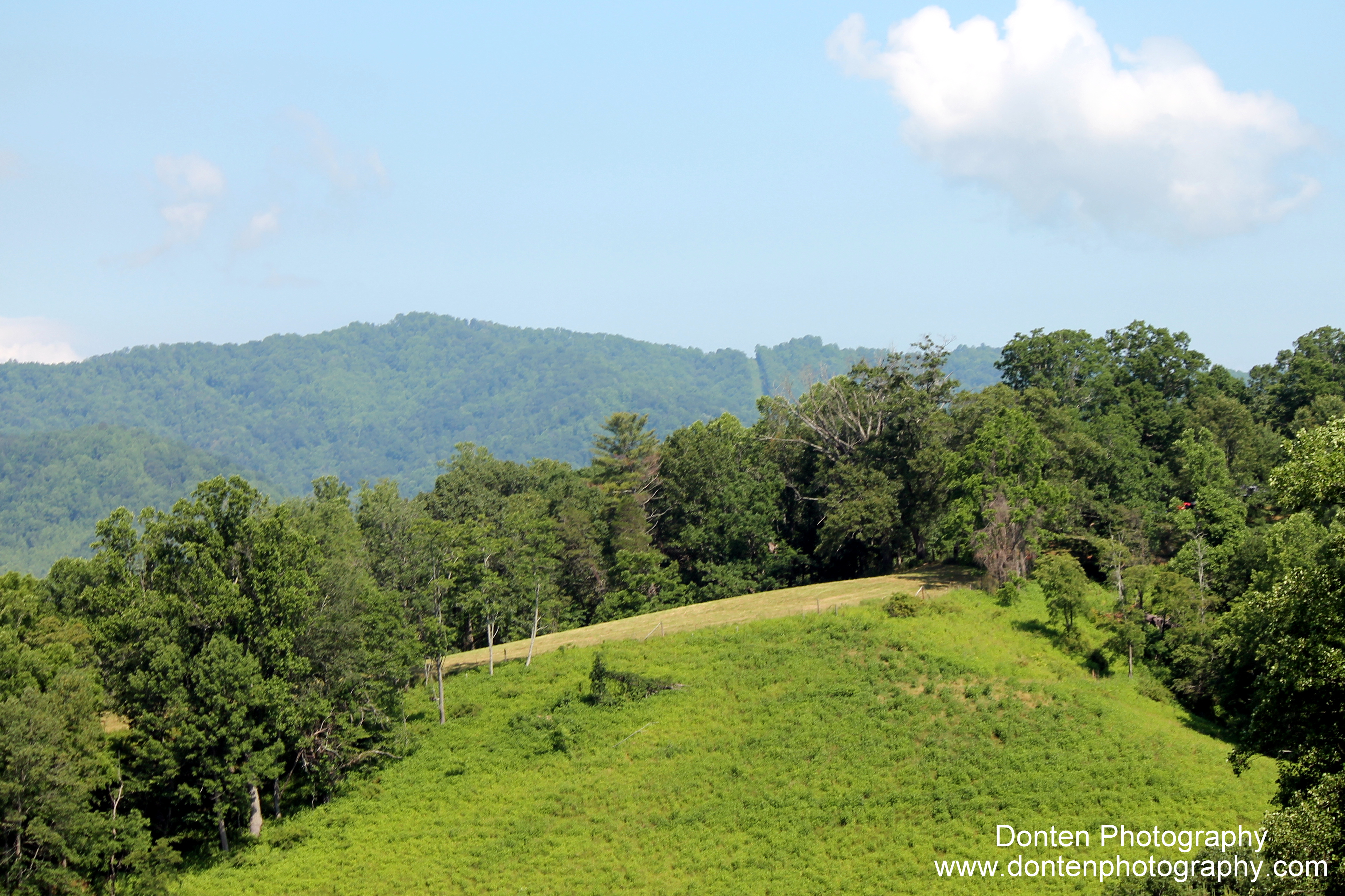
Looking west
Sandy Bottom Trail Rides
Topographic Map of Freedom Ln, Hot Springs, NC, USA
Find elevation by address:

Places near Freedom Ln, Hot Springs, NC, USA:
Freedom Lane
9779 Nc-209
Spring Creek
10755 Nc-209
10755 Nc-209
175 Creekview Dr
The Rattler
1307 W Rd
West Road
590 Baltimore Branch Rd
2100 Baltimore Branch Rd
West Road
1390 Baltimore Branch Rd
3217 Baltimore Branch Rd
12270 Nc-209
2685 West Rd
1618 Meadow Fork Rd
Hot Springs, NC, USA
Kirk's Drive
Bluff
Recent Searches:
- Elevation of Corso Fratelli Cairoli, 35, Macerata MC, Italy
- Elevation of Tallevast Rd, Sarasota, FL, USA
- Elevation of 4th St E, Sonoma, CA, USA
- Elevation of Black Hollow Rd, Pennsdale, PA, USA
- Elevation of Oakland Ave, Williamsport, PA, USA
- Elevation of Pedrógão Grande, Portugal
- Elevation of Klee Dr, Martinsburg, WV, USA
- Elevation of Via Roma, Pieranica CR, Italy
- Elevation of Tavkvetili Mountain, Georgia
- Elevation of Hartfords Bluff Cir, Mt Pleasant, SC, USA