Elevation of West Road, W Rd, 8, Spring Creek, NC, USA
Location: United States > North Carolina > Madison County > 6, Hot Springs > Hot Springs >
Longitude: -82.841567
Latitude: 35.8026986
Elevation: 784m / 2572feet
Barometric Pressure: 92KPa
Elevation Map:
Satellite Map:
Related Photos:

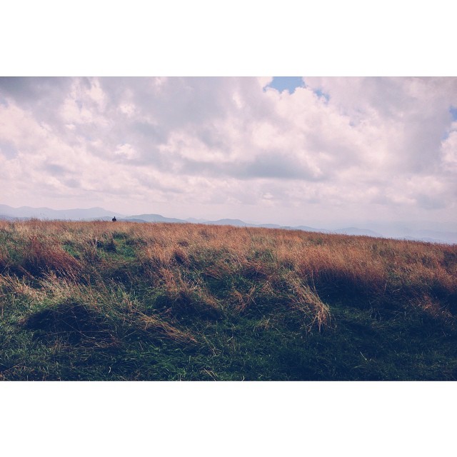
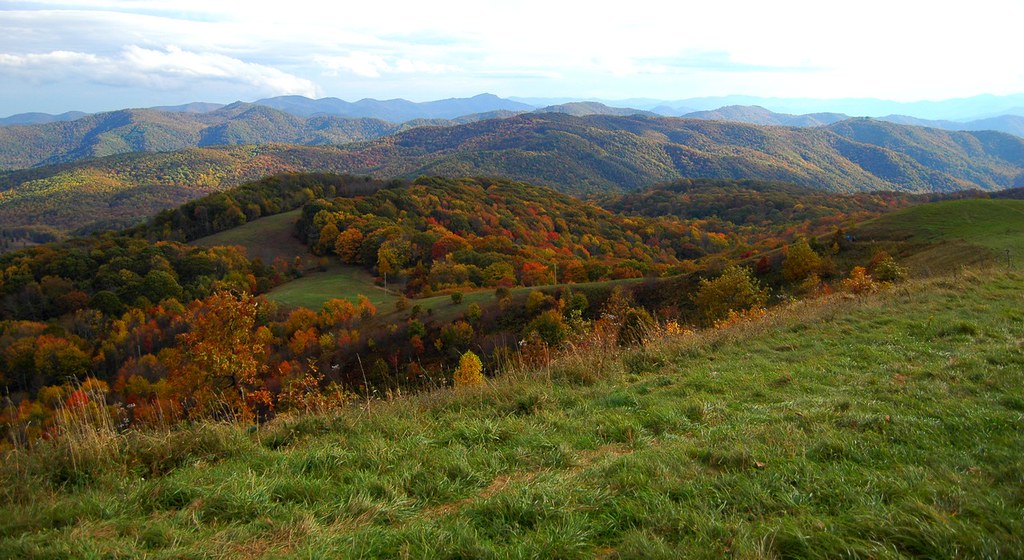
View From Max Patch

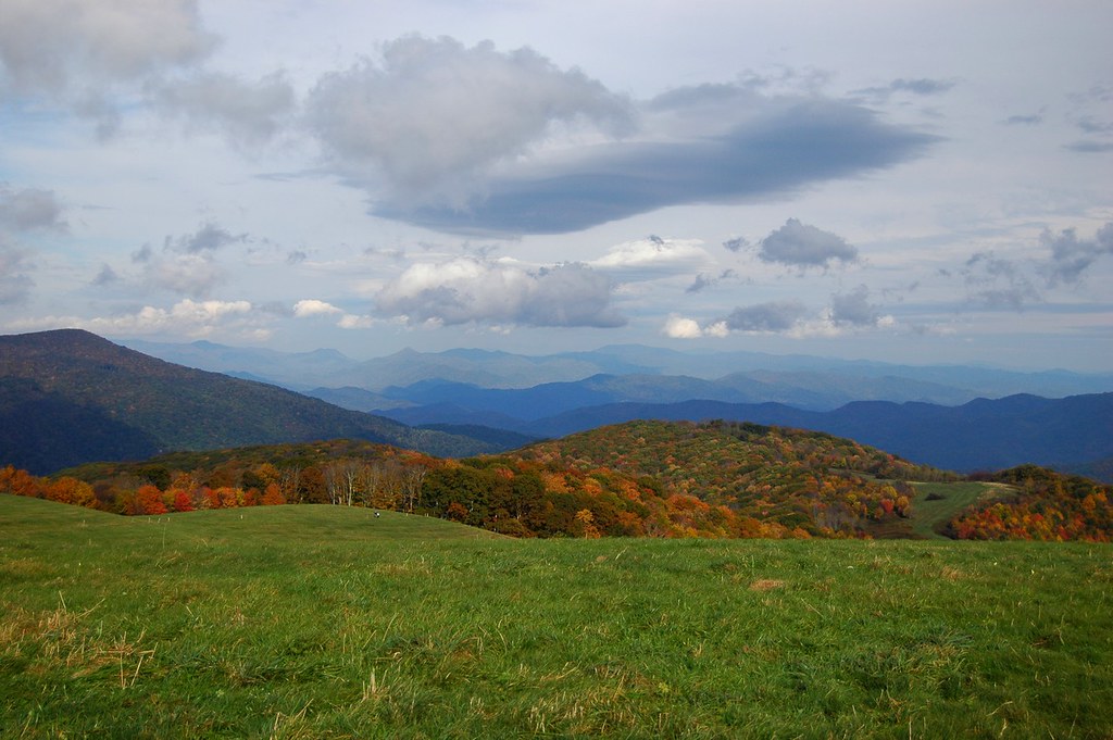
Fall on Max Patch

Rainbows over Max Patch
Hiked up to Max Patch for 360° of stunning views. #appalachiantrail #maxpatch #northcarolina

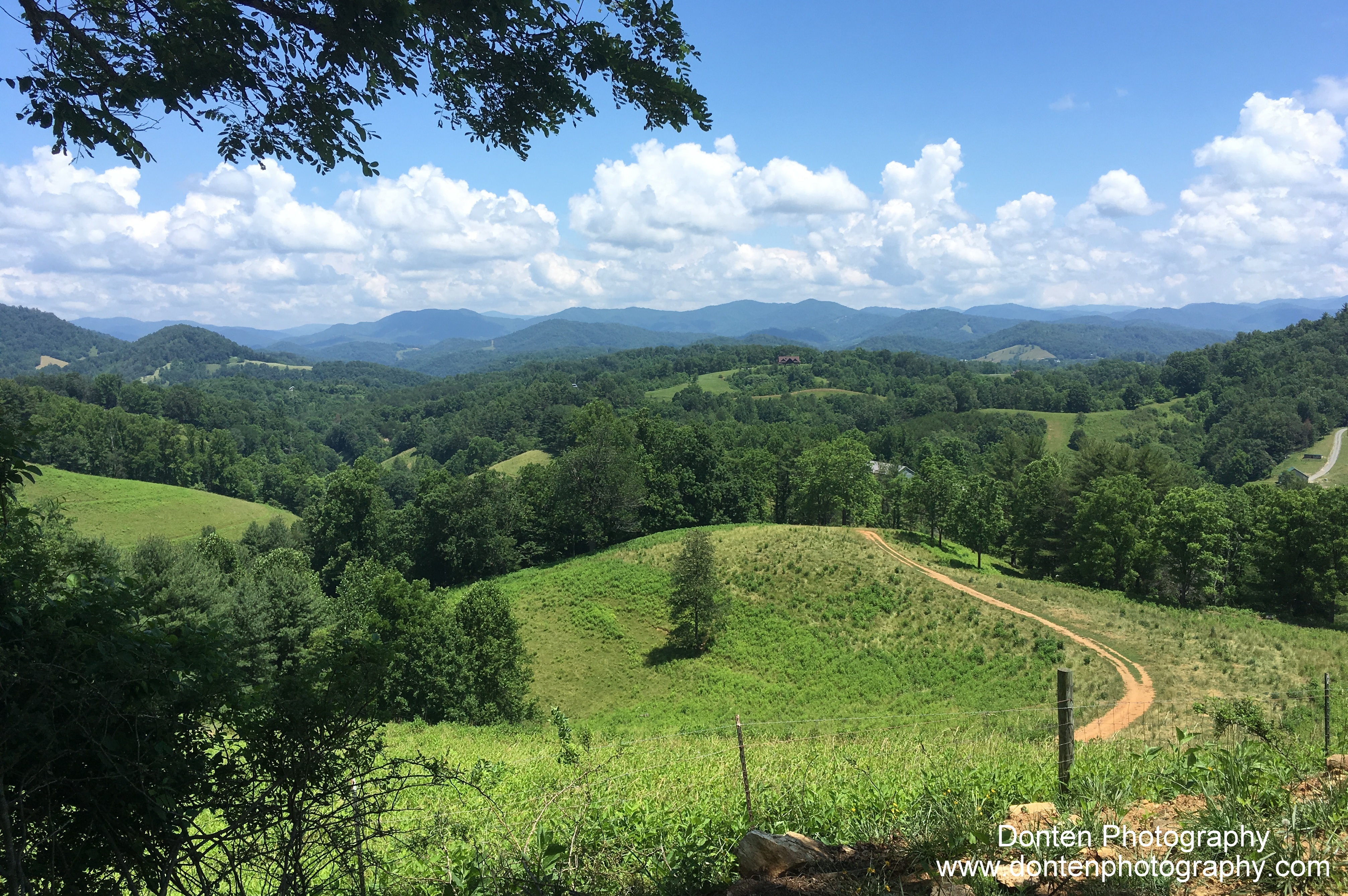
View from Max Patch

View from Max Patch, looking east
Max Patch - October 12, 2013-036
Max Patch - October 12, 2013-051

View from Max Patch, looking east

Max Patch - October 12, 2013-065

Celebrating the 4th of July

Max Patch, Ecclesiastes 3:11

Max Patch

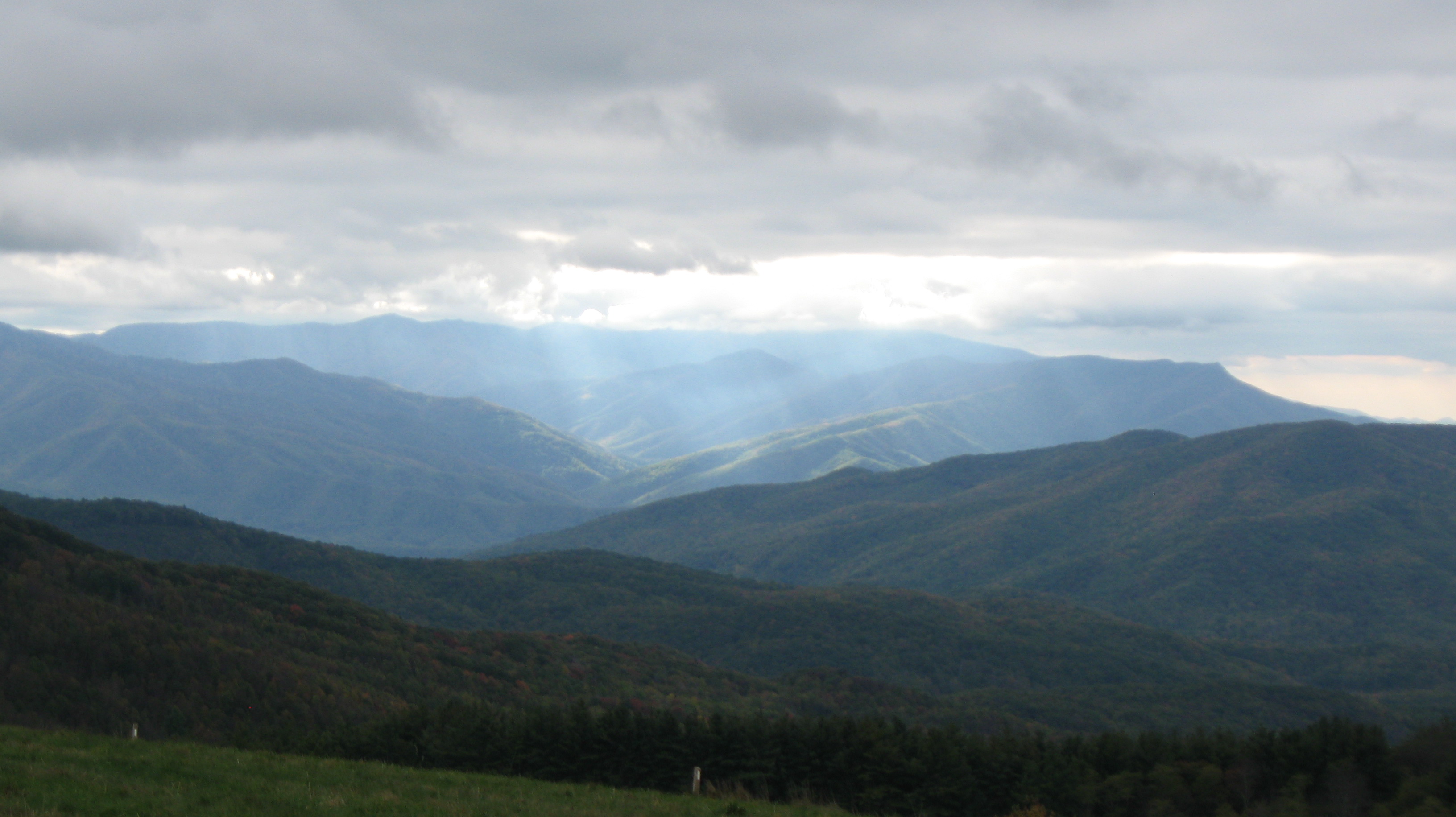
The Smokey Mountains

View from Max Patch

Max Patch, Romans 1:20

Max Patch, Isaiah 40:22

max patch

Morning view, after the rain. #visitNCfarms #ncwine #vineyard #gottobenc

The Appalachian Trail
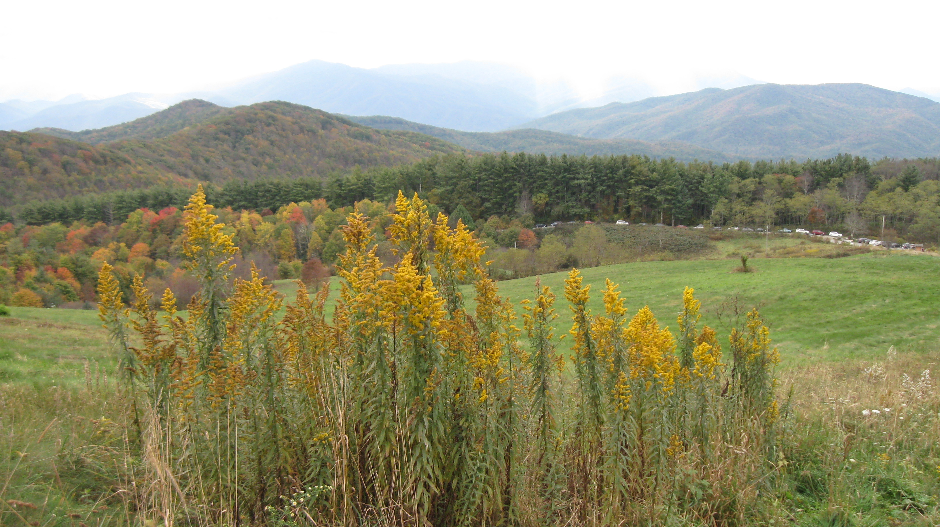
Buckeye Ridge, Max Patch, North Carolina
Max Patch 03

Photo Stream-684

Photo Stream-682

Appalachian Trail, Isaiah 52:7
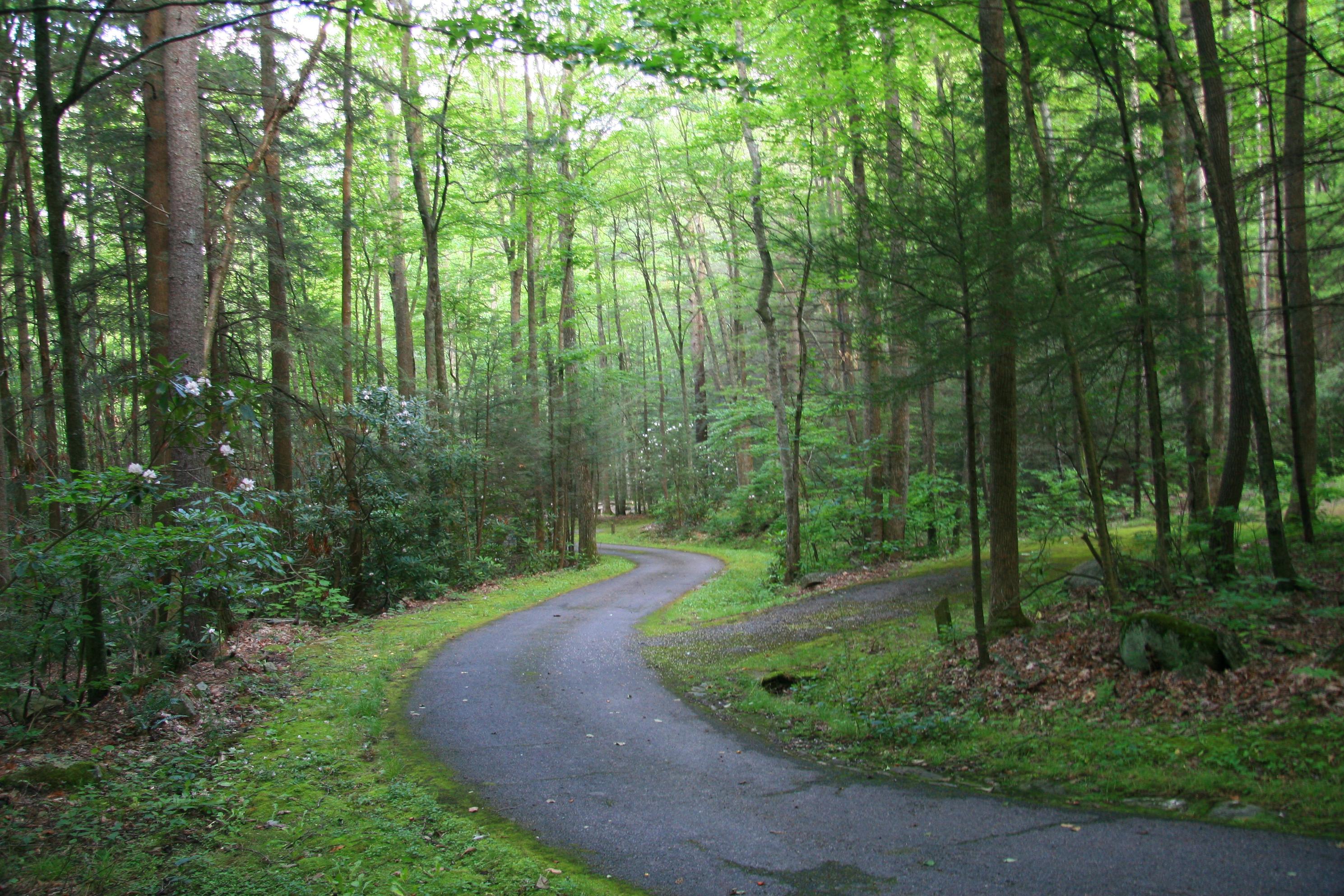
The Road Less Traveled

Hot Srings Oct 08 296

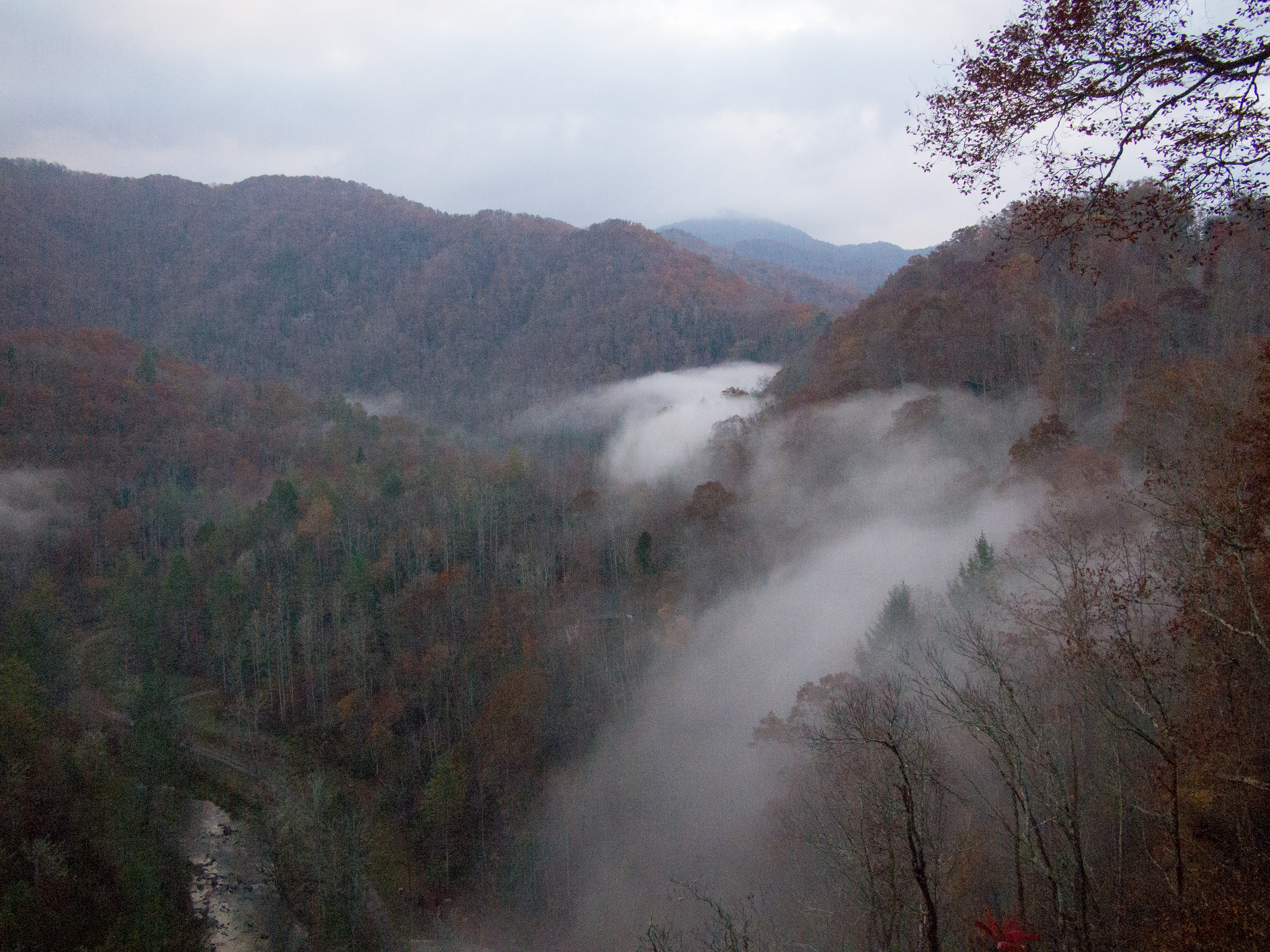
French Broad River and Hot Springs, North Carolina from Lover's Leap on the Appalachian Trail.
Best place on the planet to camp.
20131103-PB034447
Sandy Bottom Trail Rides

Blue Ridge Mountains, Psalm 104:32
Max Patch 02

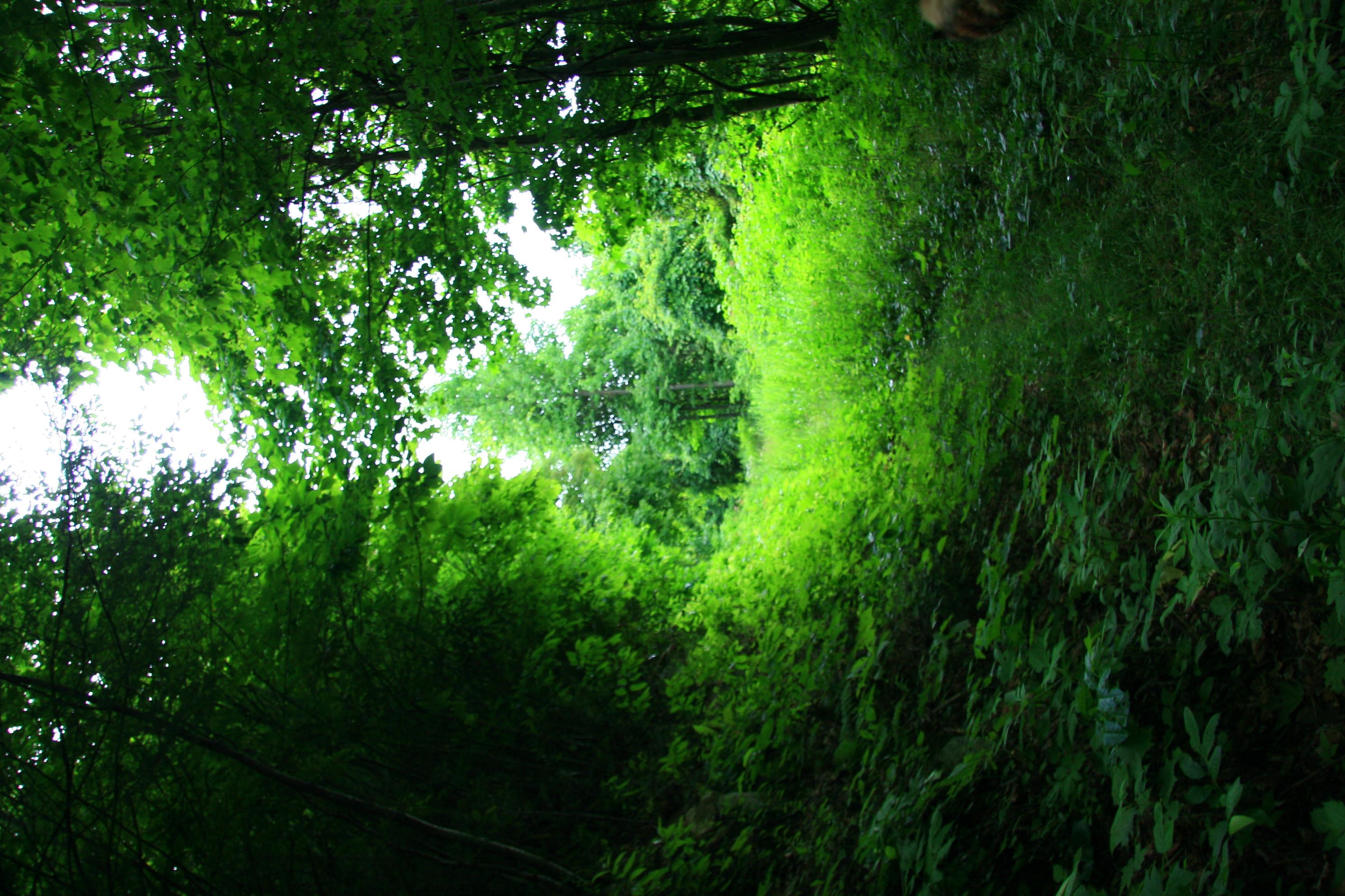
Path to the summit
Topographic Map of West Road, W Rd, 8, Spring Creek, NC, USA
Find elevation by address:

Places near West Road, W Rd, 8, Spring Creek, NC, USA:
West Road
1307 W Rd
3217 Baltimore Branch Rd
2100 Baltimore Branch Rd
9779 Nc-209
Spring Creek
175 Creekview Dr
2685 West Rd
212 Freedom Ln
1390 Baltimore Branch Rd
Freedom Lane
10755 Nc-209
10755 Nc-209
590 Baltimore Branch Rd
The Rattler
2375 Anderson Cove Rd
Big Pine Rd, Marshall, NC, USA
827 Bodah Mountain Rd
Big Pine
12270 Nc-209
Recent Searches:
- Elevation of Corso Fratelli Cairoli, 35, Macerata MC, Italy
- Elevation of Tallevast Rd, Sarasota, FL, USA
- Elevation of 4th St E, Sonoma, CA, USA
- Elevation of Black Hollow Rd, Pennsdale, PA, USA
- Elevation of Oakland Ave, Williamsport, PA, USA
- Elevation of Pedrógão Grande, Portugal
- Elevation of Klee Dr, Martinsburg, WV, USA
- Elevation of Via Roma, Pieranica CR, Italy
- Elevation of Tavkvetili Mountain, Georgia
- Elevation of Hartfords Bluff Cir, Mt Pleasant, SC, USA