Elevation of Anderson Cove Rd, Marshall, NC, USA
Location: United States > North Carolina > Madison County > 1, North Marshall > Marshall >
Longitude: -82.821278
Latitude: 35.824286
Elevation: -10000m / -32808feet
Barometric Pressure: 295KPa
Elevation Map:
Satellite Map:
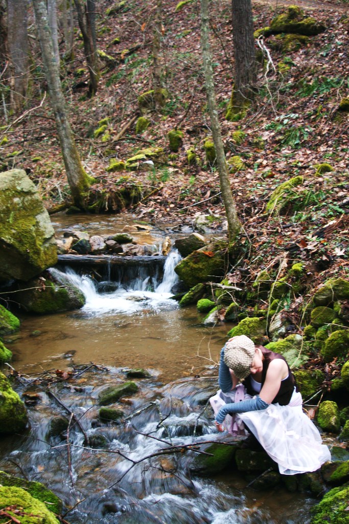
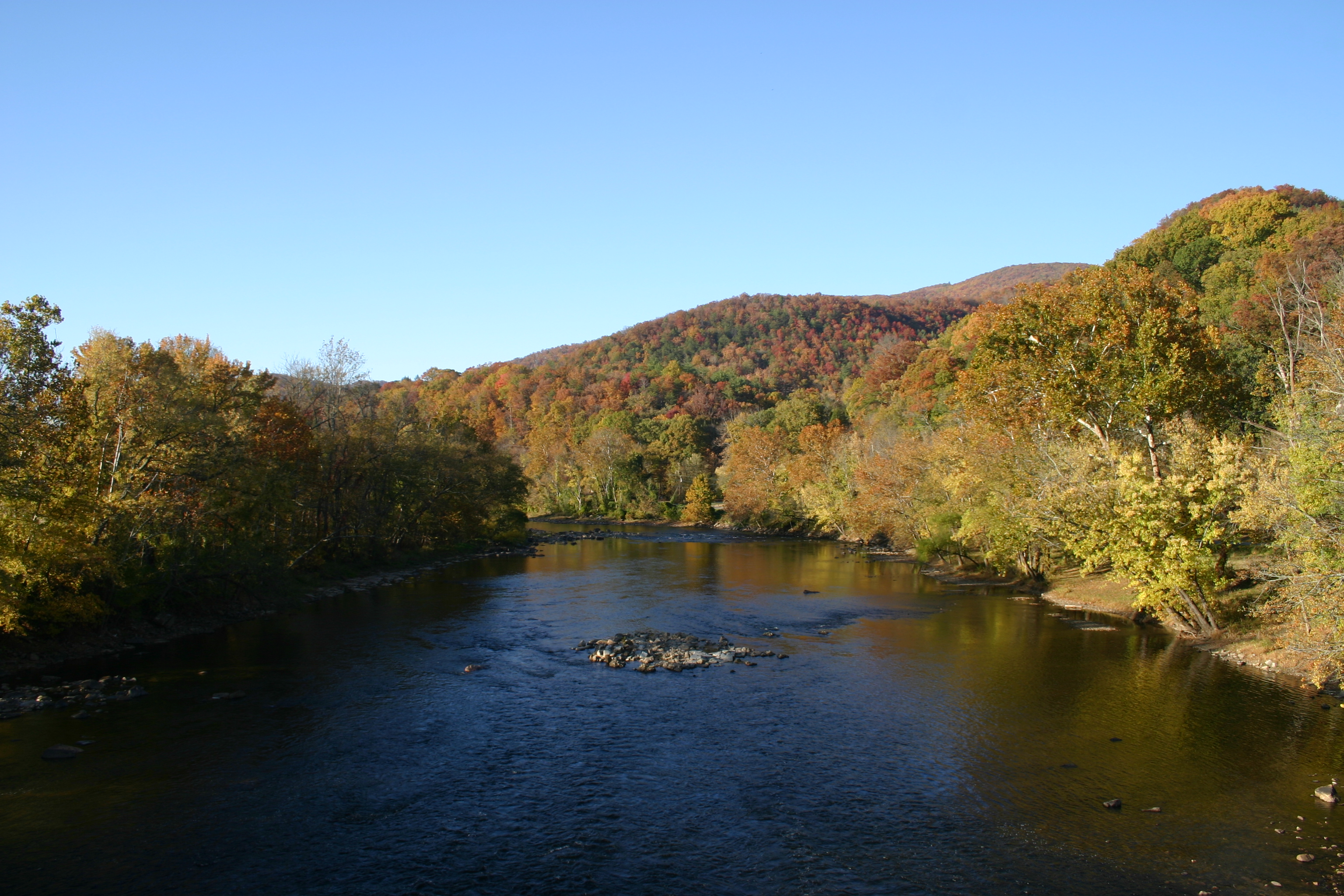
Related Photos:

Celebrating the 4th of July

Max Patch

The Smokey Mountains

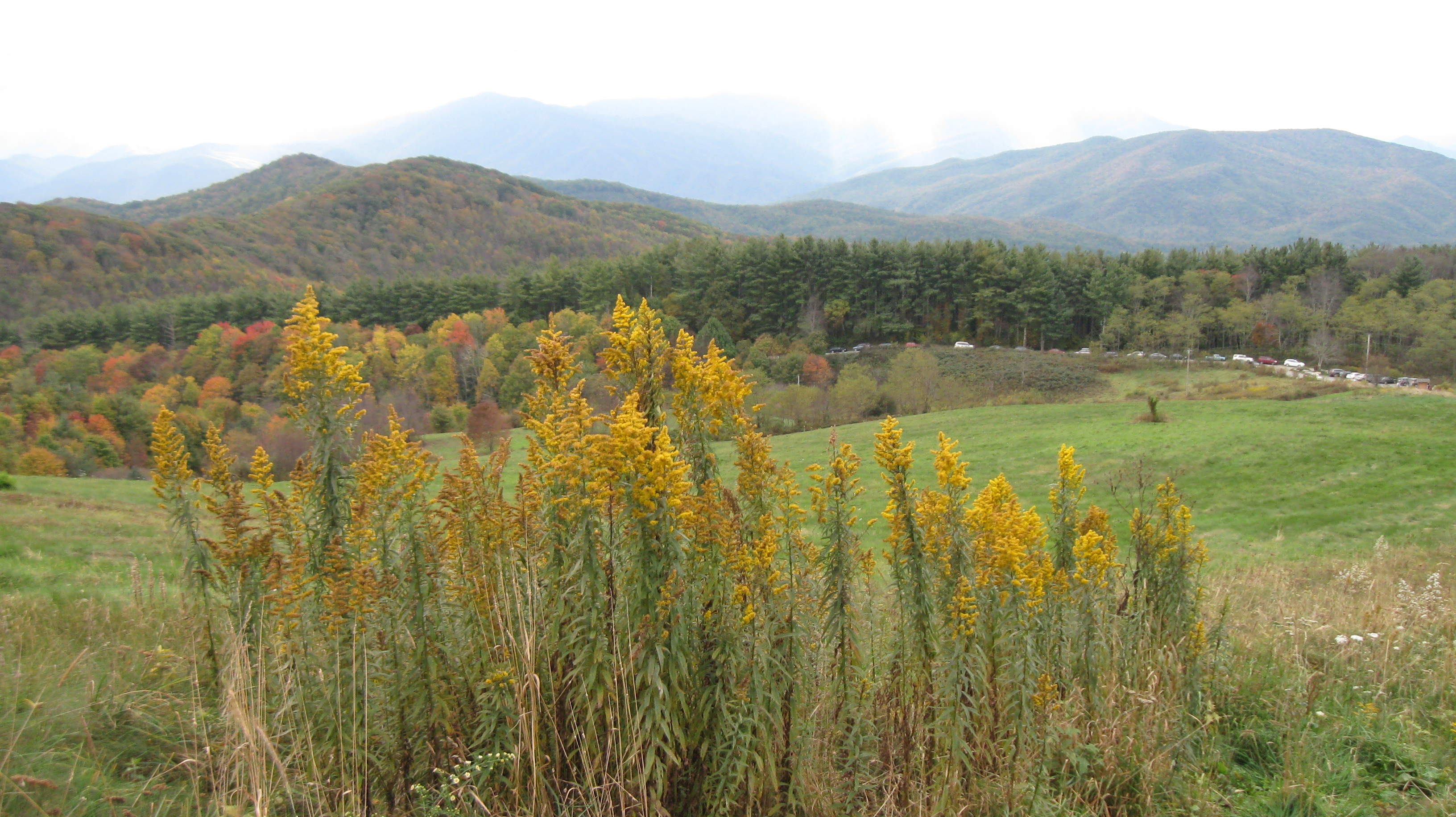
View from Max Patch

View from Max Patch

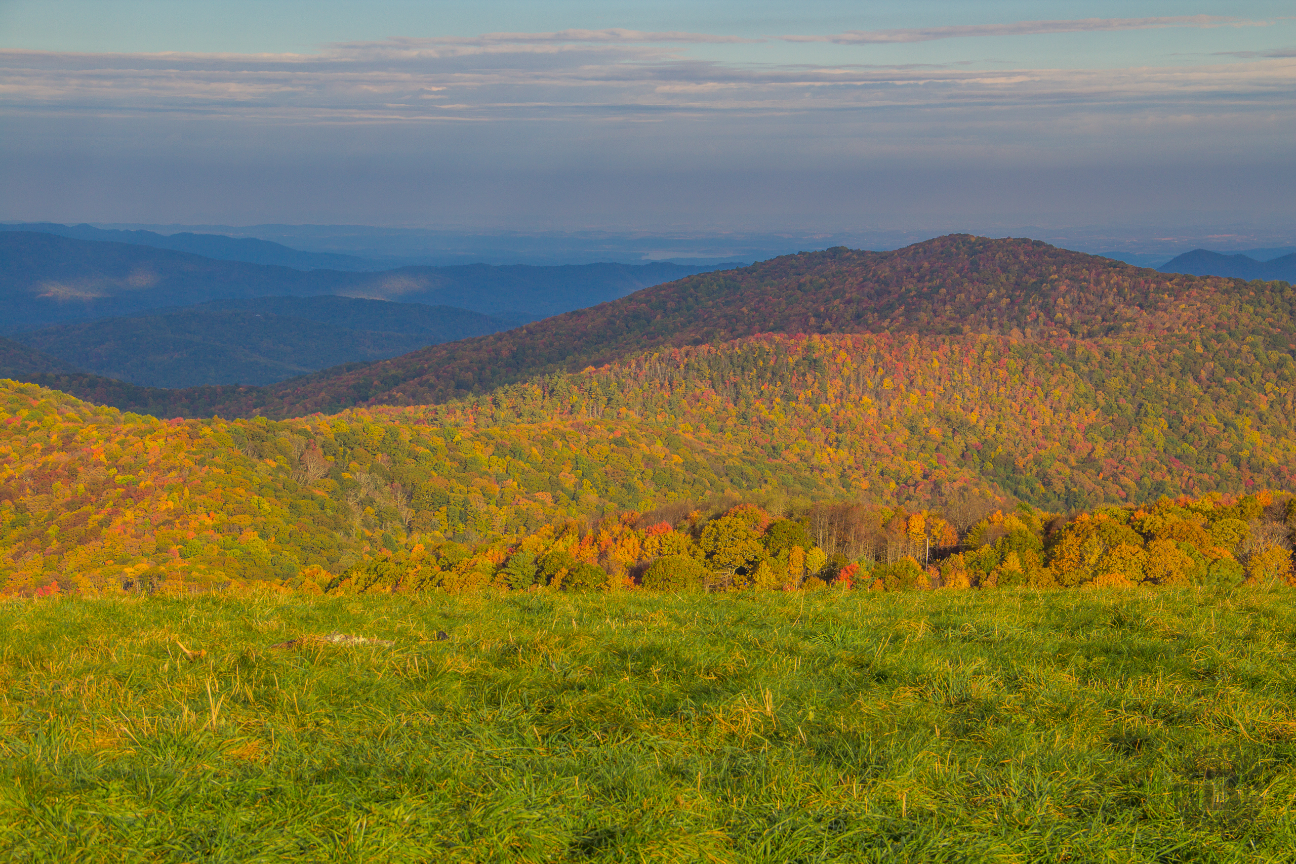
Fall on Max Patch

Hiked up to Max Patch for 360° of stunning views. #appalachiantrail #maxpatch #northcarolina

tracks & mountains

View from Max Patch, looking east

Morning view, after the rain. #visitNCfarms #ncwine #vineyard #gottobenc
Max Patch - October 12, 2013-036

The Appalachian Trail
Buckeye Ridge, Max Patch, North Carolina

View from Max Patch, looking east

Max Patch - October 12, 2013-065

Max Patch - October 12, 2013-052

Max Patch - October 12, 2013-026

NC 209 Scenic View

Clouds and Stars during a Lightning Storm

View looking north from Max Patch

Max Patch - October 12, 2013-008

Photo Stream-684

Sandy Bottom Trail Rides

Paint Creek under starlight

Photo Stream-682

Max Patch, N.C.
Autumn's Finest at Max Patch, Pisgah National Forest, North Carolina

2013-11-19 13.41.21

Standing on top of #maxpatch , the bald #mountain. Beautiful #sunset behind #clouds

The Road Less Traveled

Almost Dusk

Buckeye Ridge at Max Patch, Pisgah National Forest, North Carolina

Max Patch mountain
Hot Srings Oct 08 296

Max Patch, N.C. Sunset

Max Patch Sunrise

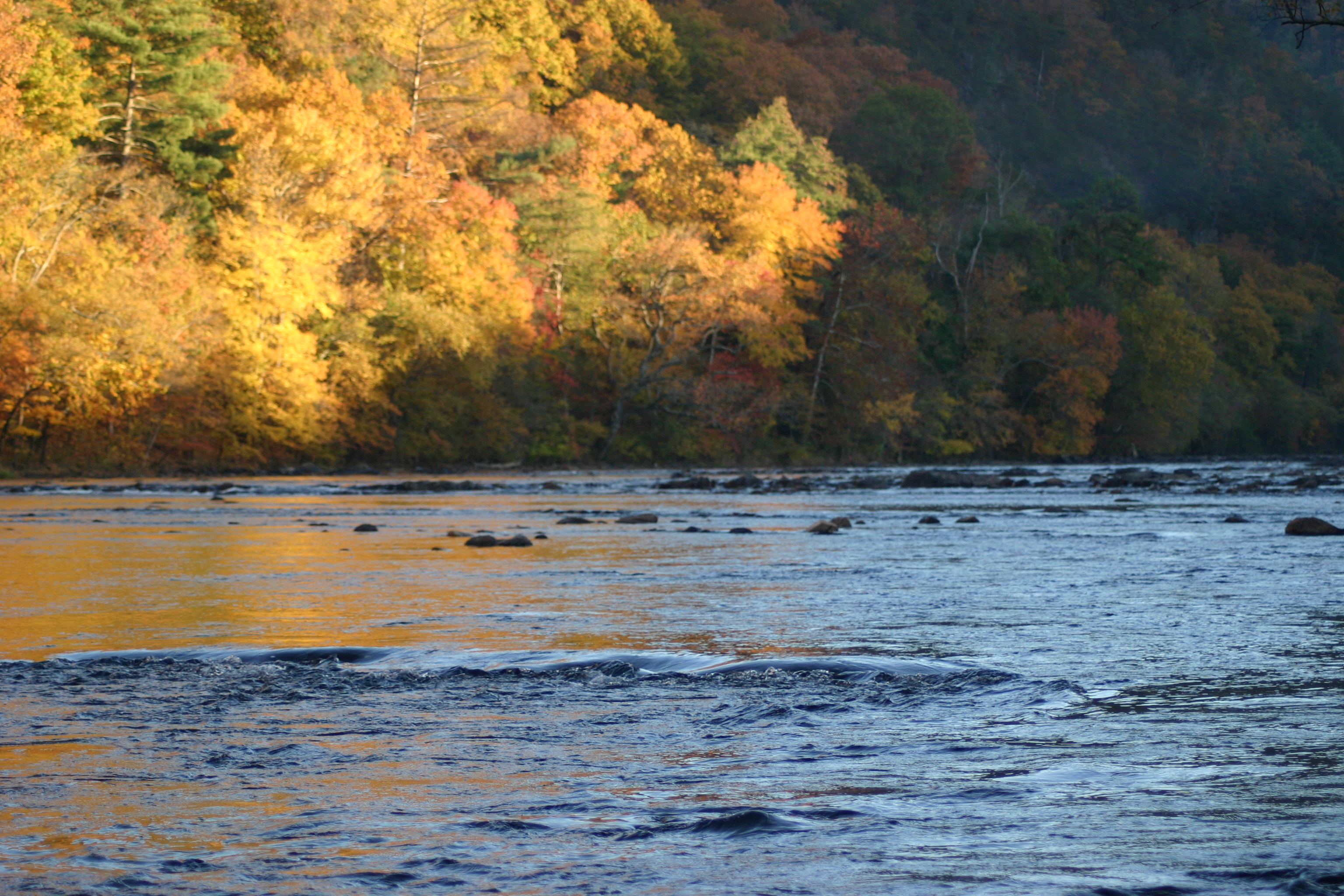
French Broad River and Hot Springs, North Carolina from Lover's Leap on the Appalachian Trail.
March 2010 306
Hot Srings Oct 08 242
Topographic Map of Anderson Cove Rd, Marshall, NC, USA
Find elevation by address:

Places near Anderson Cove Rd, Marshall, NC, USA:
827 Bodah Mountain Rd
2685 West Rd
700 Iris Crest Rd
3217 Baltimore Branch Rd
West Road
Anderson Cove Road
1307 W Rd
West Road
175 Creekview Dr
5, Walnut
2375 Anderson Cove Rd
2375 Anderson Cove Rd
Big Pine Rd, Marshall, NC, USA
Big Pine
6128 Nc-209
9779 Nc-209
369 Waldroup Rd
60 Gorenflo Gap Rd, Hot Springs, NC, USA
Bluff
2100 Baltimore Branch Rd
Recent Searches:
- Elevation of Corso Fratelli Cairoli, 35, Macerata MC, Italy
- Elevation of Tallevast Rd, Sarasota, FL, USA
- Elevation of 4th St E, Sonoma, CA, USA
- Elevation of Black Hollow Rd, Pennsdale, PA, USA
- Elevation of Oakland Ave, Williamsport, PA, USA
- Elevation of Pedrógão Grande, Portugal
- Elevation of Klee Dr, Martinsburg, WV, USA
- Elevation of Via Roma, Pieranica CR, Italy
- Elevation of Tavkvetili Mountain, Georgia
- Elevation of Hartfords Bluff Cir, Mt Pleasant, SC, USA