Elevation of Gillespie Mountain, New Mexico, USA
Location: United States > New Mexico > Animas >
Longitude: -108.68060
Latitude: 31.6634323
Elevation: 2153m / 7064feet
Barometric Pressure: 78KPa
Elevation Map:
Satellite Map:
Related Photos:
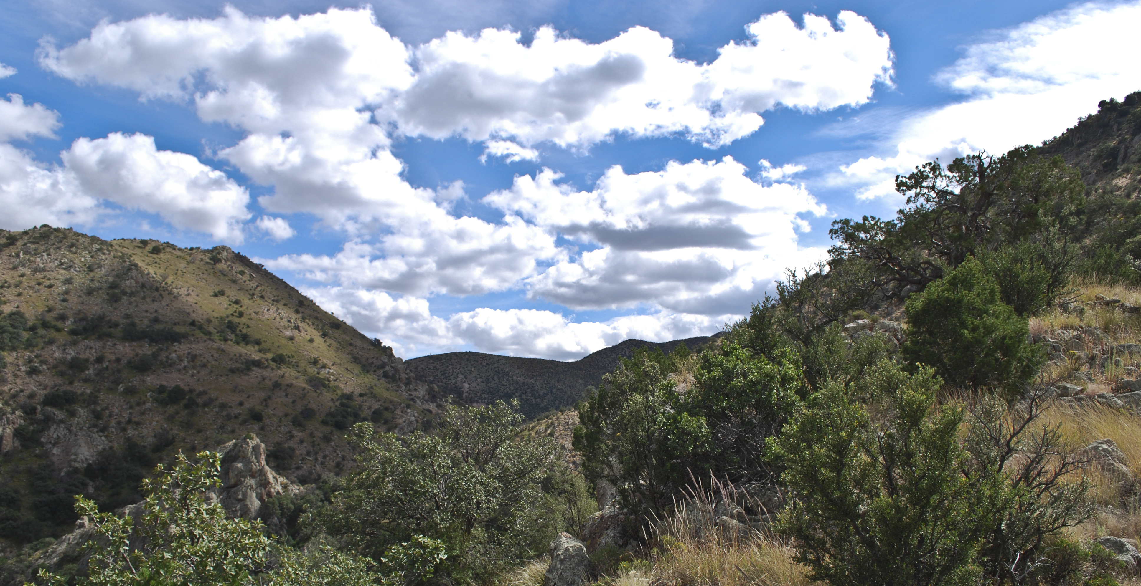
Animas Mountains and Sky
Topographic Map of Gillespie Mountain, New Mexico, USA
Find elevation by address:

Places near Gillespie Mountain, New Mexico, USA:
Animas Mountains Hp
Hidalgo County
Animas
Gray Mountain
Cloverdale
Antelope Wells
Hideout Ranch
Rodeo
390 Sulphur Canyon Rd
68 W Shangri La Ln
NM-, Animas, NM, USA
838 Portal Rd
E Highway 80, San Simon, AZ, USA
2095 S Milky Way
1185 W Prickly Pear Ln
Portal
S Rock House Rd, Portal, AZ, USA
2372 S Cathedral Rock Rd
Cave Creek Canyon
San Simon Cienega
Recent Searches:
- Elevation of Corso Fratelli Cairoli, 35, Macerata MC, Italy
- Elevation of Tallevast Rd, Sarasota, FL, USA
- Elevation of 4th St E, Sonoma, CA, USA
- Elevation of Black Hollow Rd, Pennsdale, PA, USA
- Elevation of Oakland Ave, Williamsport, PA, USA
- Elevation of Pedrógão Grande, Portugal
- Elevation of Klee Dr, Martinsburg, WV, USA
- Elevation of Via Roma, Pieranica CR, Italy
- Elevation of Tavkvetili Mountain, Georgia
- Elevation of Hartfords Bluff Cir, Mt Pleasant, SC, USA