Elevation of Fruitwood Dr, Grand Junction, CO, USA

Location: United States > Colorado > Mesa County > Grand Junction > Pear Park >

Longitude: -108.48632

Latitude: 39.0748731

Elevation: 1419m / 4655feet

Barometric Pressure: 85KPa

Elevation Map:

elevation map of Fruitwood Dr, Grand Junction, CO, USA

Satellite Map:

Satellite map of Fruitwood Dr, Grand Junction, CO, USA

Related Photos:

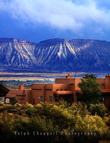
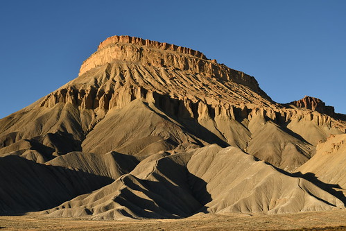
travel fruit colorado july amtrak palisade californiazephyr 2011 mountgarfield
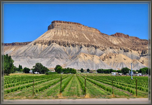
'Mount Garfield' From The California Zephyr - ( 2 views )
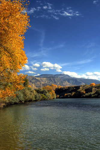
railroad travel train colorado july coloradoriver palisade californiazephyr 2011 rollerdam
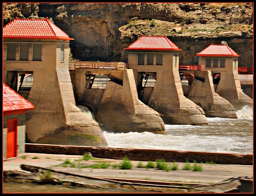
Colorado River "Roller dam" At Palisade
colorado nps nationalparkservice coloradonationalmonument coldshiverspoint
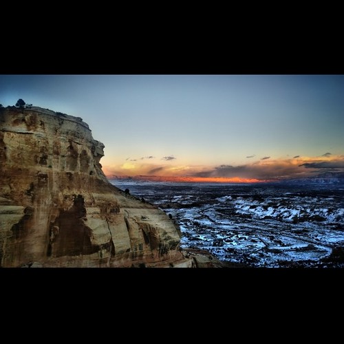
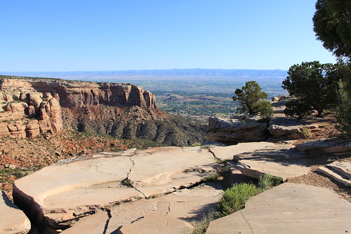
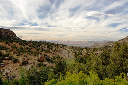
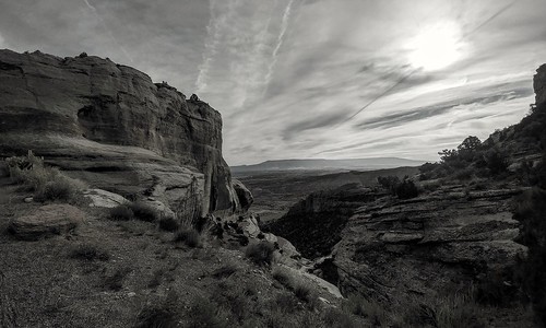
Colorado National Monument - View From Cold Shivers Point
travel southwest 2010
Colorado Monument 02 Fcopy
panorama colorado palisade hdr mapped photomatix tonemapped hdrpanorama coloradolandscapes coloradoart sipbotbfs coloradolandscapeimages coloradolandscapeart
Palisade Pano
nature landscape colorado colorful highdesert mobilephone redrocks nik canyons grandjunction iphone coloradonationalmonument hikingcolorado iphoneography snapseed iphone6plus
Colorado National Monument View
nikon colorado scenic august canyon mesa grandjunction scenicbyway westernslope westernunitedstates
Western Slope Scenery
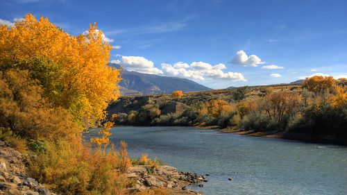
fall colorado palisade hdr photomatix coloradolandscapes coloradoart coloradolandscapeimages coloradolandscapeart
Reflections of Palisade
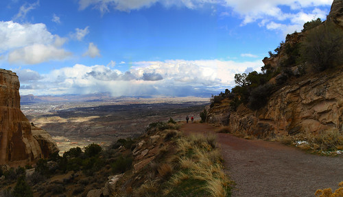
panorama view trail omg coloradonationalmonument serpentstrail uploaded:by=flickrmobile flickriosapp:filter=nofilter
The end of Serpent's trail
square squareformat iphoneography instagramapp uploaded:by=instagram foursquare:venue=5143a675e4b0a3e6ee49443b
Enjoying the view from the Rim Trail #GreatNature #GJCO #XperiaZ
square squareformat iphoneography instagramapp uploaded:by=instagram foursquare:venue=4d77ddd5d10fa143e3ddd03d
#Scenic #View from #Serpents #Trail (once called the crookedest road in the world because of its 20 switchbacks) (converted to a hiking trail in 1961) (#Colorado #National #Monument)
colorado palisade hdr hdtv mapped 3x photomatix 1920x1080 coloradolandscapes coloradoart coloradolandscapeimages coloradolandscapeart
Palisade in the fall
sign colorado grandjunction canyonviewpark
luxury of space
2012-07-11 09.34.50
denverriograndewestern drgw riograndezephyr riogrande colorado rockymountains f9 emd passengertrain trains railroads
The rotunda in the "Silver Sky"
outrageousimages davewadsworth photoshoppinginprogress
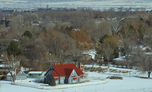
the old house
colorado coloradonationalmonument clouds rockformations nationalmonument nationalparkgeek findyourpark
A view from Rimrock drive
The view from my FEMA CAMP
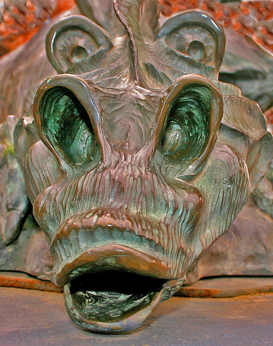
smile statue bronze colorado dragon imaginary unexpected artwalk grandjunction nightmares cartoonlike outrageousimages davewadsworth mithicalcreatures
The Dragon's face
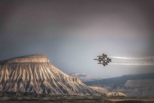
colorado blueangels usnavy fighterjets westerncolorado mountgarfield grandjunctioncolorado grandjunctionairshow navyfighters bestcapturesaoi mygearandme mygearandmepremium
The Blue Angels
Nebraska / Colorado / Utah 2017
California Road Trip 2017 with Sam
2.8
park clouds landscape sandstone colorado desert parks highdesert nationalparks iphone nationalmonuments coloradonationalmonument coloradoplateau redsandstone westerncolorado mesacounty mygearandme
Grand Valley of western Colorado
cnm outrageousimages davewadsworth
Top of the Serpent's Trail
California Road Trip 2017 with Sam
Nebraska / Colorado / Utah 2017
road mountain landscape colorado colorful iphone iphoneography snapseed
The Road Down
6tag_051013-190632
Nebraska / Colorado / Utah 2017
6tag_051013-190632
Nebraska / Colorado / Utah 2017
square squareformat iphoneography instagramapp uploaded:by=instagram
Mt Garfield, just north of Palisade #5280 #colorado #family #coloradocameraclub #home #303magazine #co #coloradotography #coloradogram #coloradofanclub #jj_colorado #colorfulcolorado #unitedstates #america #photooftheday #picoftheday #bestoftheday #instag
square squareformat iphoneography instagramapp uploaded:by=instagram foursquare:venue=4b08490ef964a5202b0823e3
Monsoons in Mesa County #GJCO #COwx #CloudPorn #XperiaZ
iphone black white
grand junction co
square squareformat unknown iphoneography instagramapp uploaded:by=instagram
Severe storm over the Grand Mesa yesterday afternoon #COwx #GJCO
6tag_051013-190353
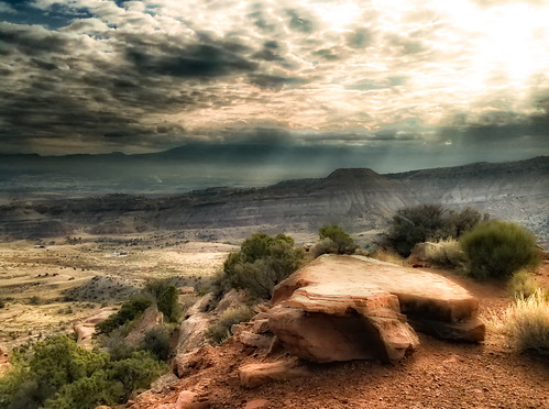
storm weather clouds colorado cloudy rocky stormy pointandshoot nik grandjunction riggshill nikcolorefex2 canonpsg7x
Looking Towards the Bookcliffs