Elevation of Bear Dance Dr, Grand Junction, CO, USA
Location: United States > Colorado > Mesa County > Grand Junction > Pear Park >
Longitude: -108.50529
Latitude: 39.0655539
Elevation: 1408m / 4619feet
Barometric Pressure: 86KPa
Elevation Map:
Satellite Map:
Related Photos:
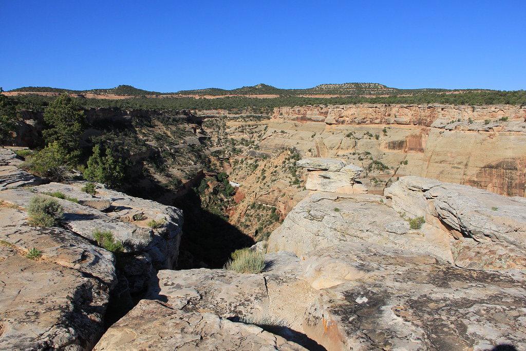
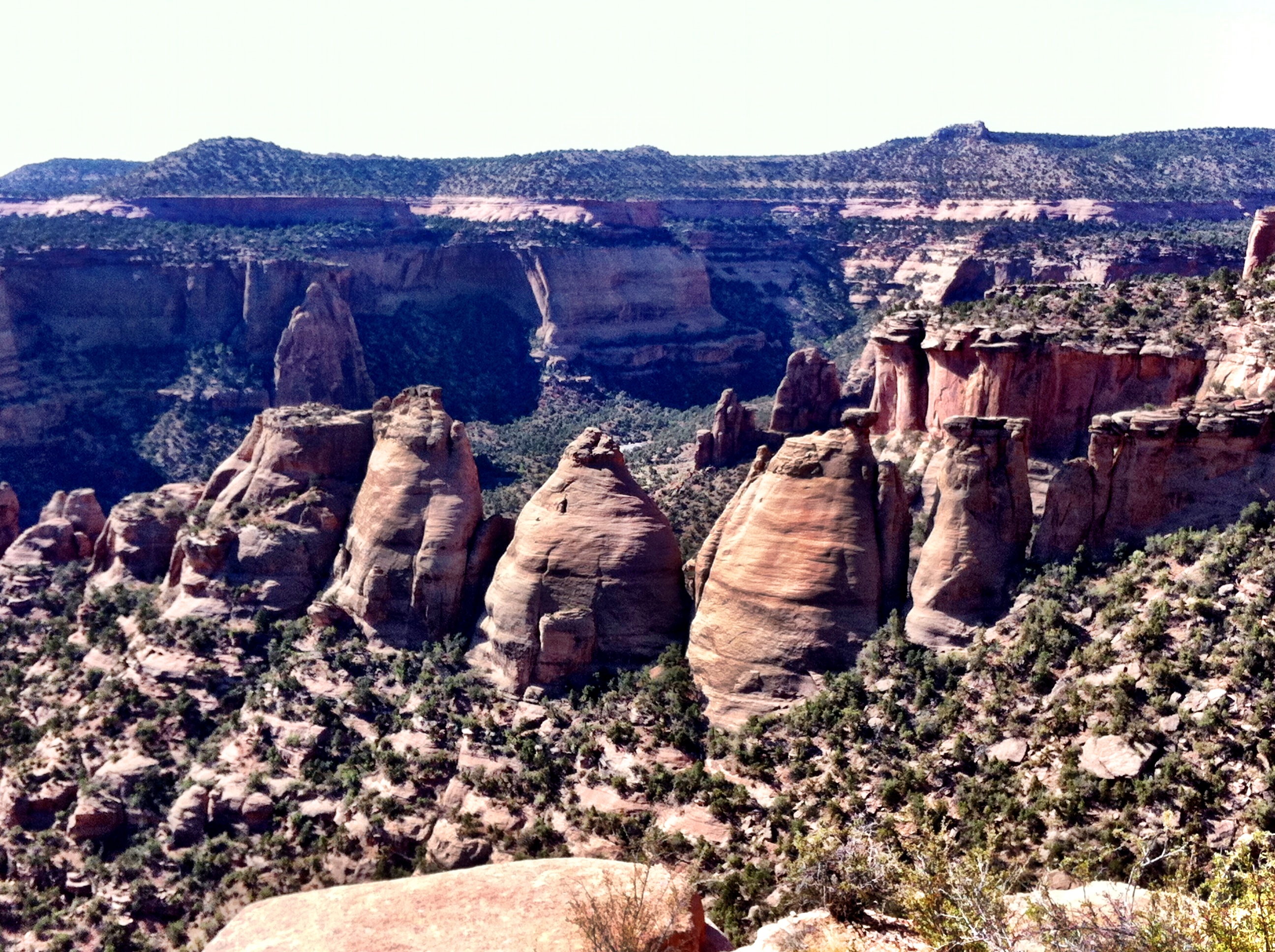
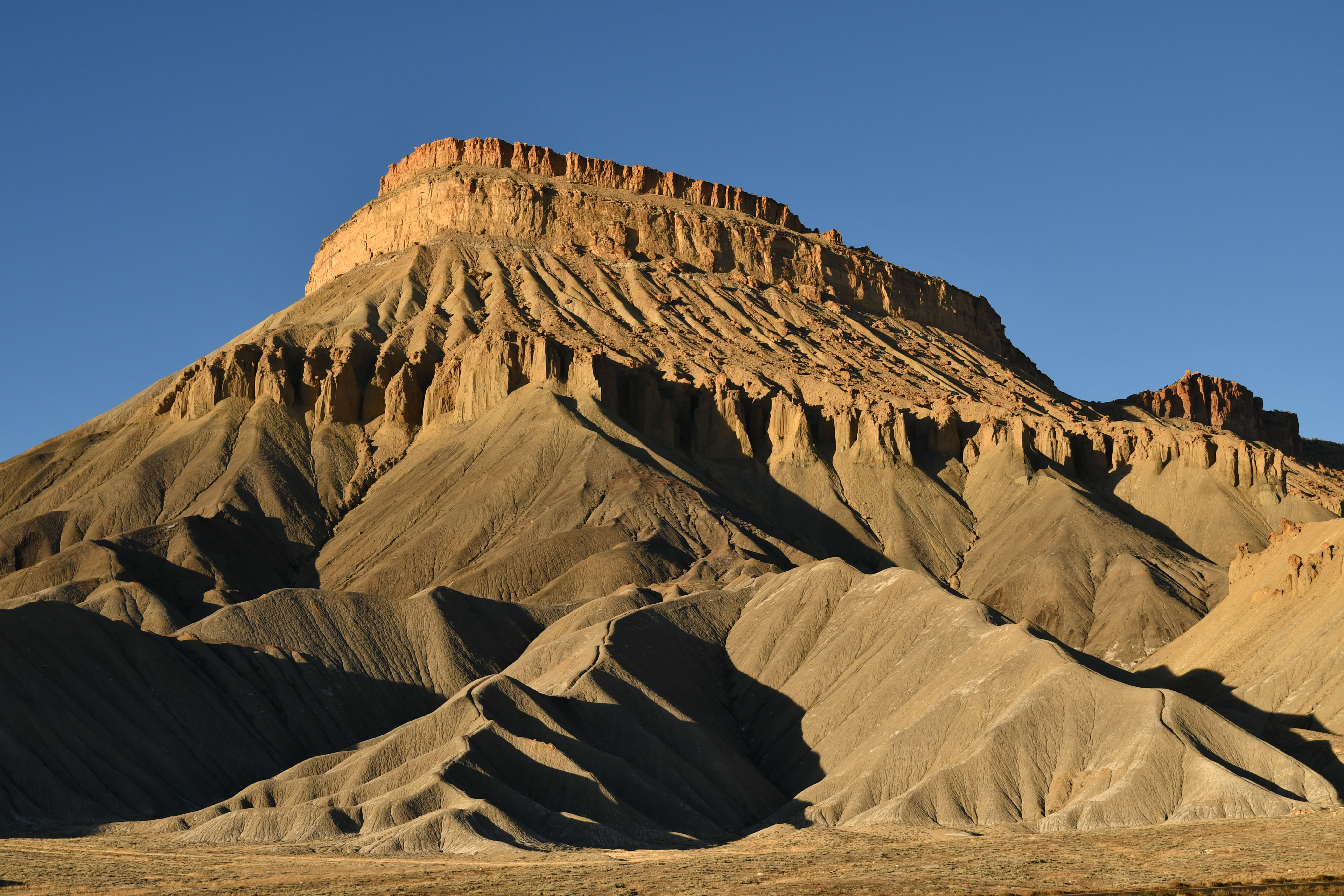
Colorado National Monument - View From Cold Shivers Point
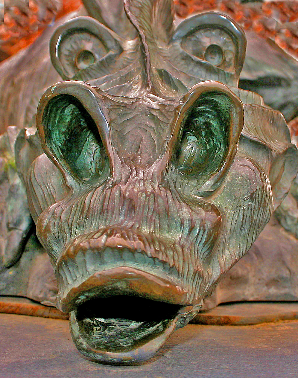
The Dragon's face

Colorado Monument 02 Fcopy
Western Slope Scenery
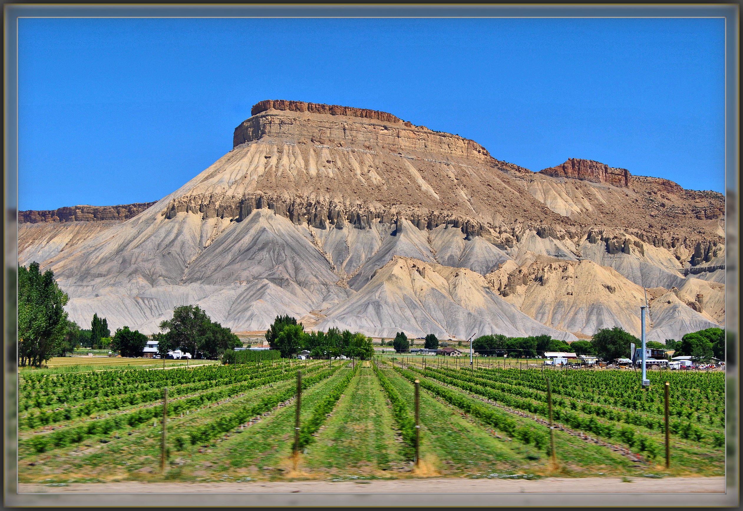
'Mount Garfield' From The California Zephyr - ( 2 views )
Reflections of Palisade

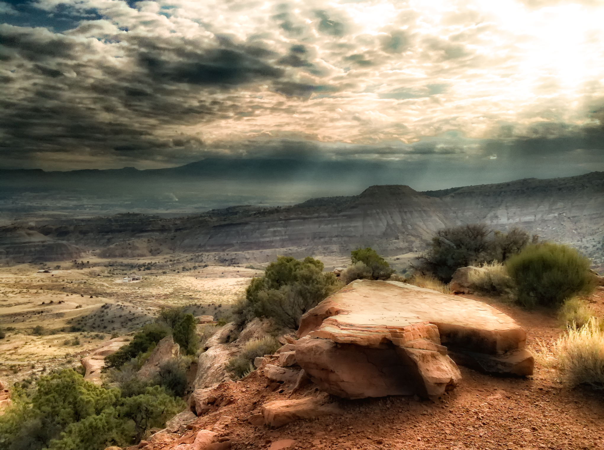
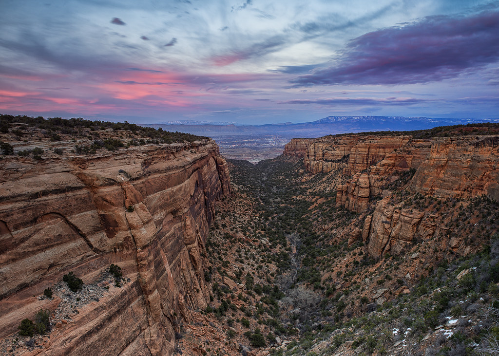
The Valley Below (the Colorado National Monument) (DTA_5147)
The end of Serpent's trail

Enjoying the view from the Rim Trail #GreatNature #GJCO #XperiaZ
Colorado National Monument - View From Red Canyon Overlook
Palisade in the fall

#Scenic #View from #Serpents #Trail (once called the crookedest road in the world because of its 20 switchbacks) (converted to a hiking trail in 1961) (#Colorado #National #Monument)
luxury of space
2012-07-11 09.34.50
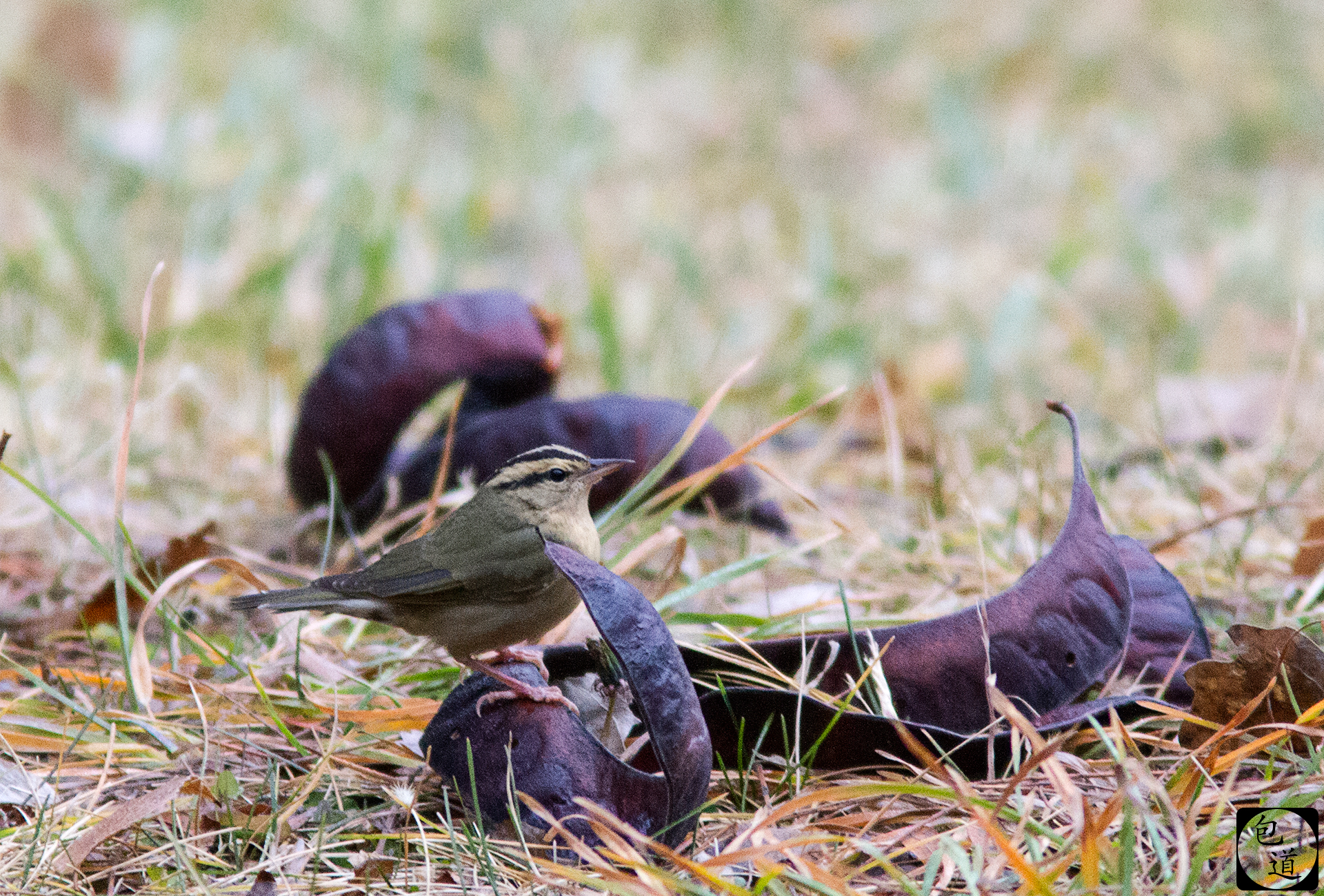
Worm-eating Warbler
A view from Rimrock drive

Mt Garfield, just north of Palisade #5280 #colorado #family #coloradocameraclub #home #303magazine #co #coloradotography #coloradogram #coloradofanclub #jj_colorado #colorfulcolorado #unitedstates #america #photooftheday #picoftheday #bestoftheday #instag

2727 Puffy Clouds over Butte

Last days of summer. Playing in the river #GJCO #COwx #GoPro #Colorado
Dead Tree
Devil's Kitchen
Steep Drop

I AM NOT THERE

The Blue Angels
Top of the Serpent's Trail
2.8
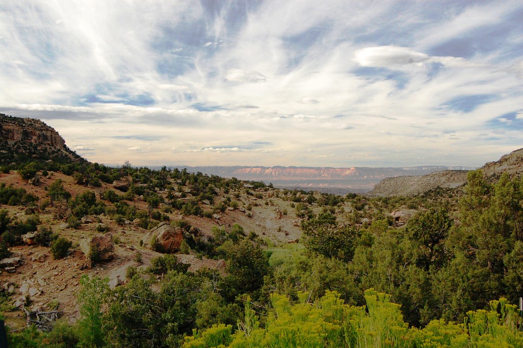
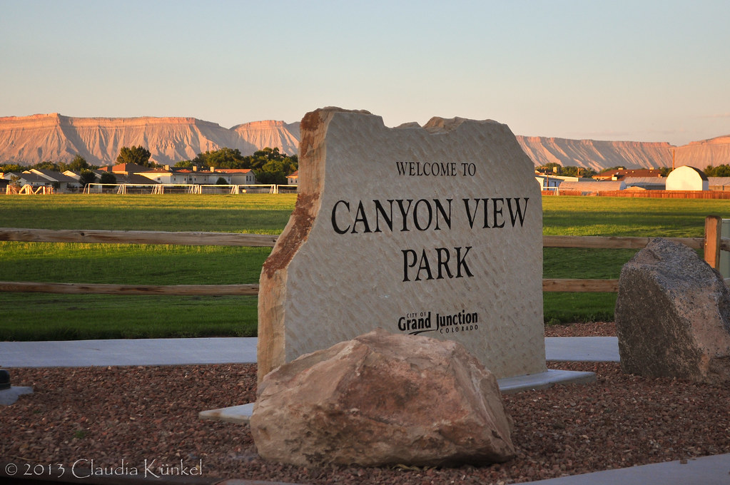
Grand Valley of western Colorado
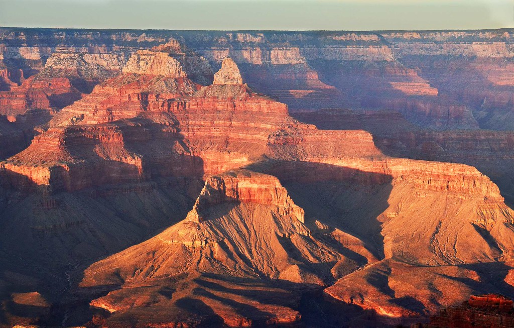
Evening Glow at Grand Canyon in Arizona

Red Canyon

California Road Trip 2017 with Sam

6tag_051013-190632
Mesa, Colorado

6tag_051013-190632
Red Canyon Sunset

California Road Trip 2017 with Sam

Nebraska / Colorado / Utah 2017

grand junction co
Topographic Map of Bear Dance Dr, Grand Junction, CO, USA
Find elevation by address:

Places near Bear Dance Dr, Grand Junction, CO, USA:
Pear Park
2860 C 1/2 Rd
30 Rd, Grand Junction, CO, USA
478 Fruitwood Dr
Hill Avenue
2954 Cedar Pl
444 Pear Lane
28 1/2 Road
2877 Bear Canyon Ct
2872 B 1/2 Rd
F Rd, Grand Junction, CO, USA
593 Mcmullin Dr
258 Nancy St
3110 Keyser Ct
585 N Grand Falls Ct
Larrys Meadow Dr, Grand Junction, CO, USA
Blue River Drive
382 Blue River Dr
2851 Tyndale Ct
2138 Gunnison Ave
Recent Searches:
- Elevation of Corso Fratelli Cairoli, 35, Macerata MC, Italy
- Elevation of Tallevast Rd, Sarasota, FL, USA
- Elevation of 4th St E, Sonoma, CA, USA
- Elevation of Black Hollow Rd, Pennsdale, PA, USA
- Elevation of Oakland Ave, Williamsport, PA, USA
- Elevation of Pedrógão Grande, Portugal
- Elevation of Klee Dr, Martinsburg, WV, USA
- Elevation of Via Roma, Pieranica CR, Italy
- Elevation of Tavkvetili Mountain, Georgia
- Elevation of Hartfords Bluff Cir, Mt Pleasant, SC, USA