Elevation of F Rd, Grand Junction, CO, USA
Location: United States > Colorado > Mesa County > Grand Junction >
Longitude: -108.46083
Latitude: 39.090974
Elevation: -10000m / -32808feet
Barometric Pressure: 295KPa
Elevation Map:
Satellite Map:
Related Photos:

Palisade Pano

'Mount Garfield' From The California Zephyr - ( 2 views )
Reflections of Palisade
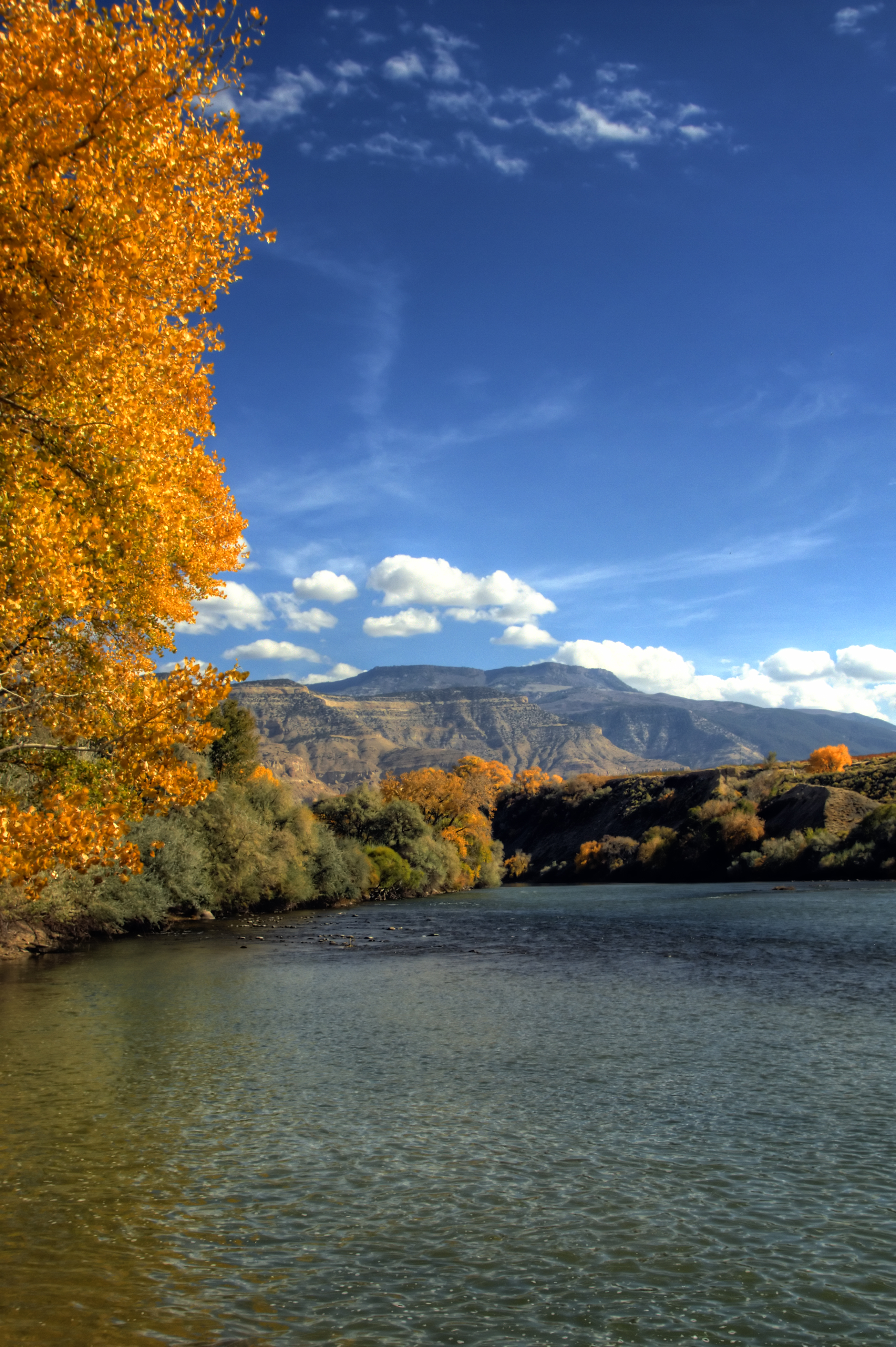
Palisade in the fall

#Scenic #View from #Serpents #Trail (once called the crookedest road in the world because of its 20 switchbacks) (converted to a hiking trail in 1961) (#Colorado #National #Monument)

The rotunda in the "Silver Sky"
Island Acres

Colorado Monument 02 Fcopy

A Charming Little Home From the California Zephyr

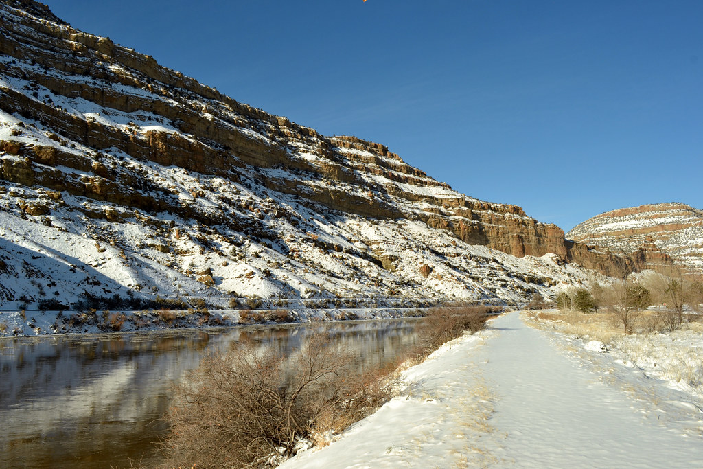
Colorado River "Roller dam" At Palisade

luxury of space

the old house

Worm-eating Warbler

The view from my FEMA CAMP

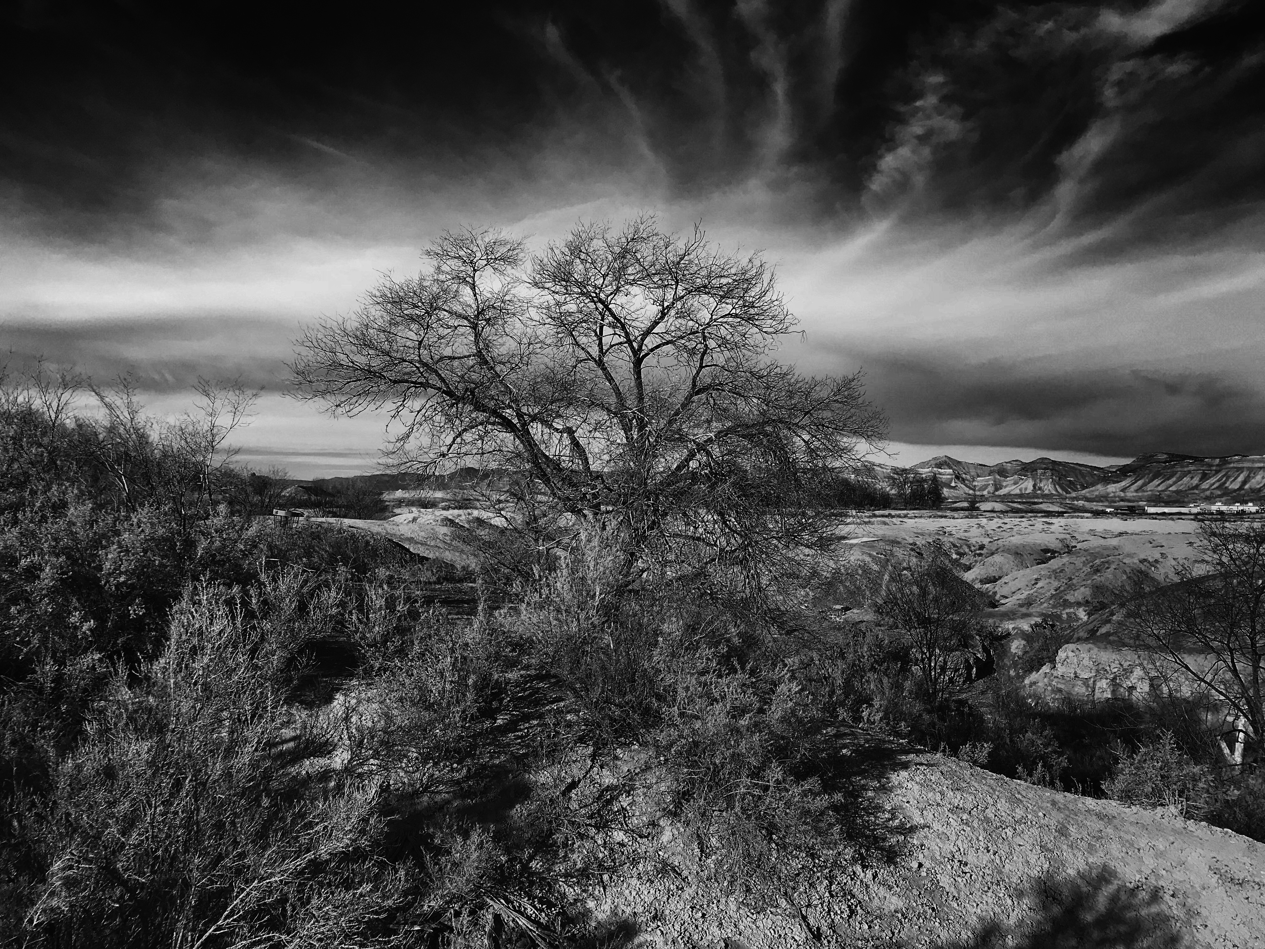
Mount Garfield, Colorado

Palisade, CO
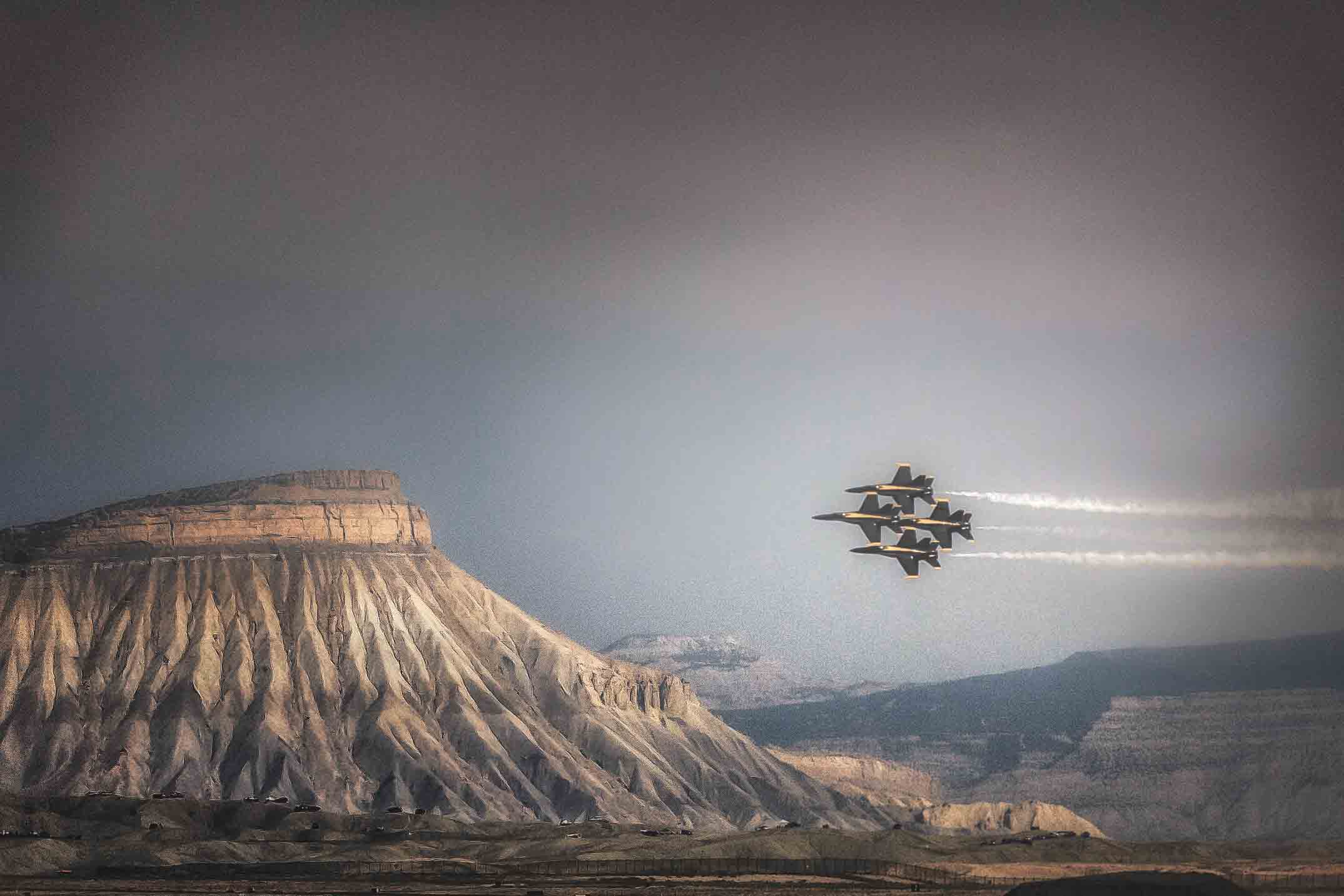
The Blue Angels
grand junction co

US - Palisade, CO - P42DC 125

Mount Garfield, Grand Junction, Colorado

Colorado National Monument

Nebraska / Colorado / Utah 2017

Nebraska / Colorado / Utah 2017

California Road Trip 2017 with Sam

Nebraska / Colorado / Utah 2017

California Road Trip 2017 with Sam

Nebraska / Colorado / Utah 2017

Nebraska / Colorado / Utah 2017

Nebraska / Colorado / Utah 2017

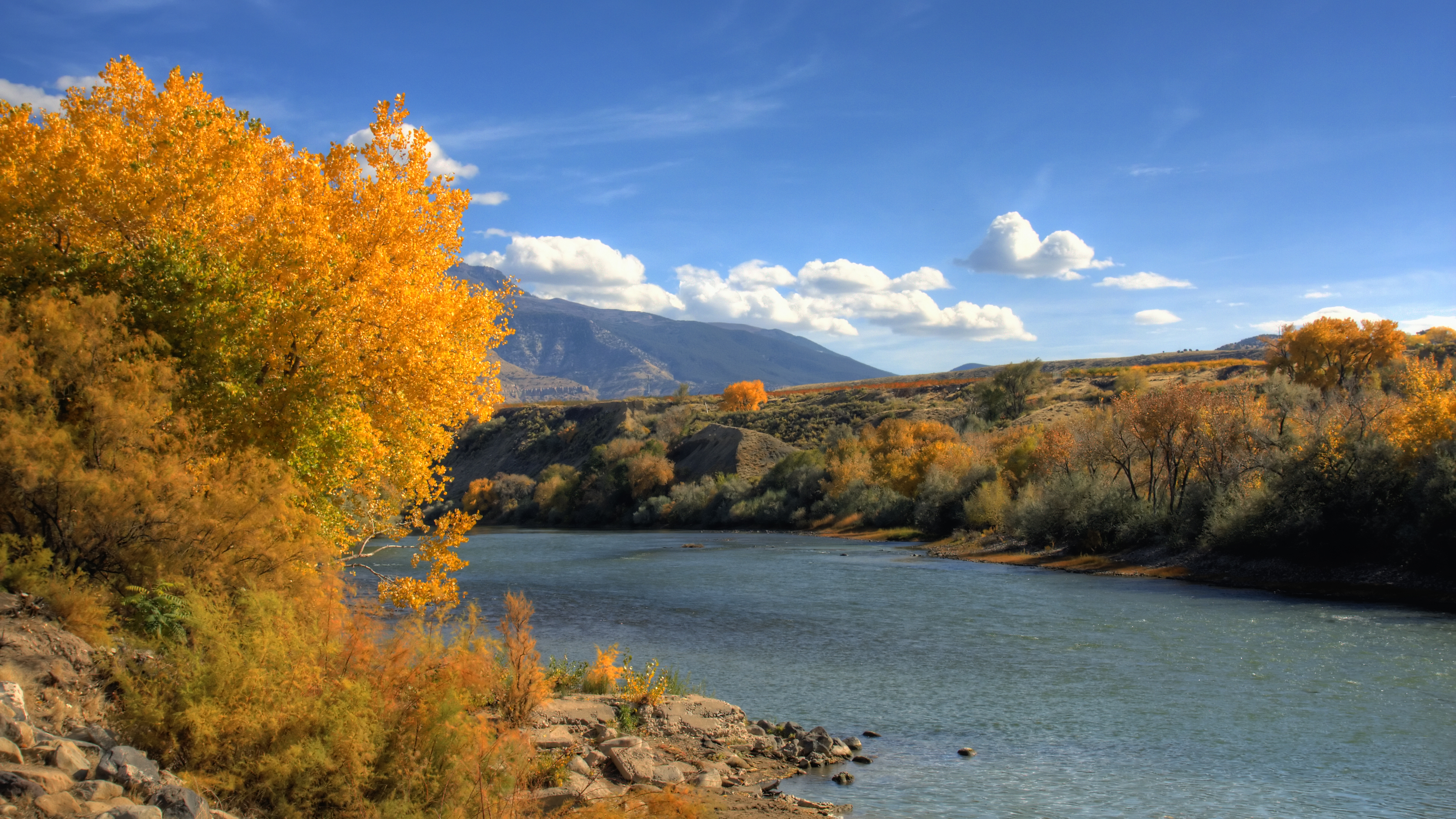
Late Autumn Day

#tylermalnerichphotography #970 #sunrise #coloradosunrise #colors #colorado #colorado2016 #sky #skyscape #cloudscape #clouds #skypainting #westerncolorado #thursday #grandjunction #grandvalley #goodmorning

Nebraska / Colorado / Utah 2017
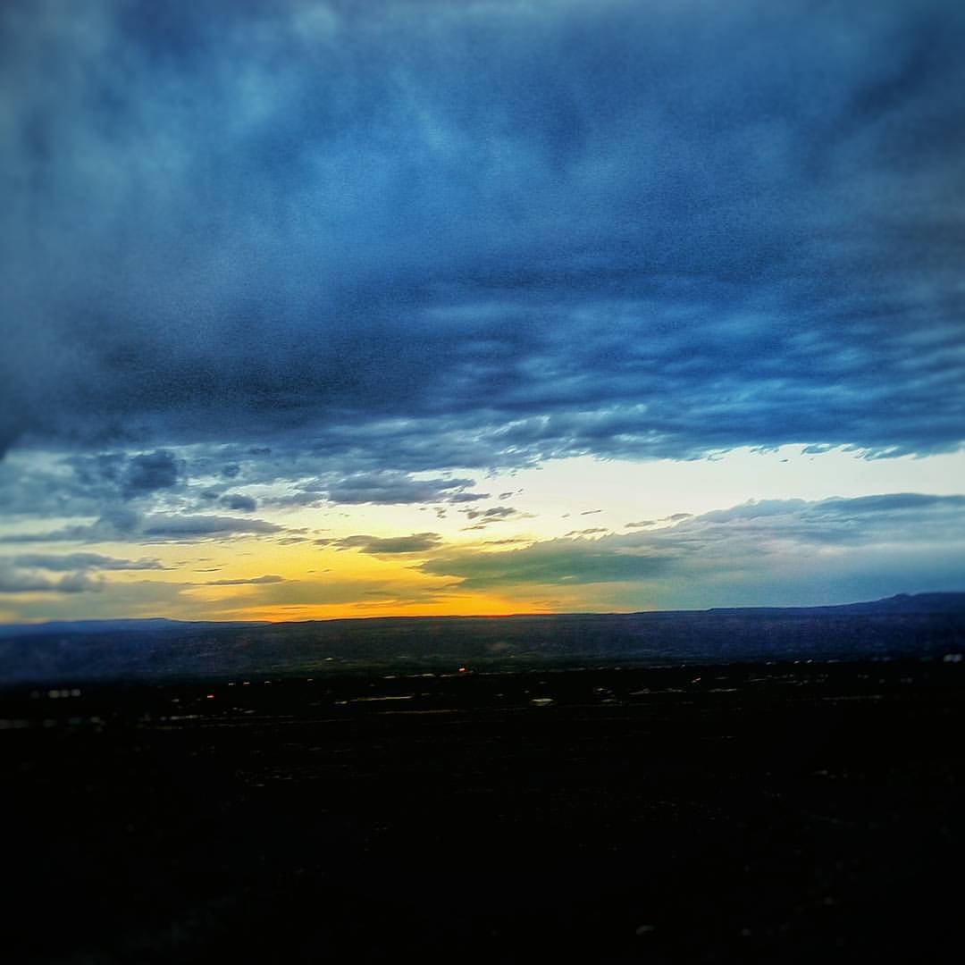
Good morning #tylermalnerichphotography #sunrise #coloradosunrise #970 #colorado #amazing #beautiful #grandjunction #clouds #cloudscape #sky #skyscape #landscape #hdr #goodmorning #monday #photography
Topographic Map of F Rd, Grand Junction, CO, USA
Find elevation by address:

Places near F Rd, Grand Junction, CO, USA:
3163 Saddlegate Ct
522 Campbell Way
522 Campbell Way
Clifton
F Rd, Clifton, CO, USA
488 32 Rd
Fruitvale
Quail Hollow Ct, Grand Junction, CO, USA
3248 D 3/4 Rd
Larrys Meadow Dr, Grand Junction, CO, USA
488 33 Rd
444 Pear Lane
478 Fruitwood Dr
593 Mcmullin Dr
Blue River Drive
3348 G Rd
382 Blue River Dr
3110 Keyser Ct
F Rd, Grand Junction, CO, USA
30 Rd, Grand Junction, CO, USA
Recent Searches:
- Elevation of Corso Fratelli Cairoli, 35, Macerata MC, Italy
- Elevation of Tallevast Rd, Sarasota, FL, USA
- Elevation of 4th St E, Sonoma, CA, USA
- Elevation of Black Hollow Rd, Pennsdale, PA, USA
- Elevation of Oakland Ave, Williamsport, PA, USA
- Elevation of Pedrógão Grande, Portugal
- Elevation of Klee Dr, Martinsburg, WV, USA
- Elevation of Via Roma, Pieranica CR, Italy
- Elevation of Tavkvetili Mountain, Georgia
- Elevation of Hartfords Bluff Cir, Mt Pleasant, SC, USA